Stovepipe Wells Stock Image
Description
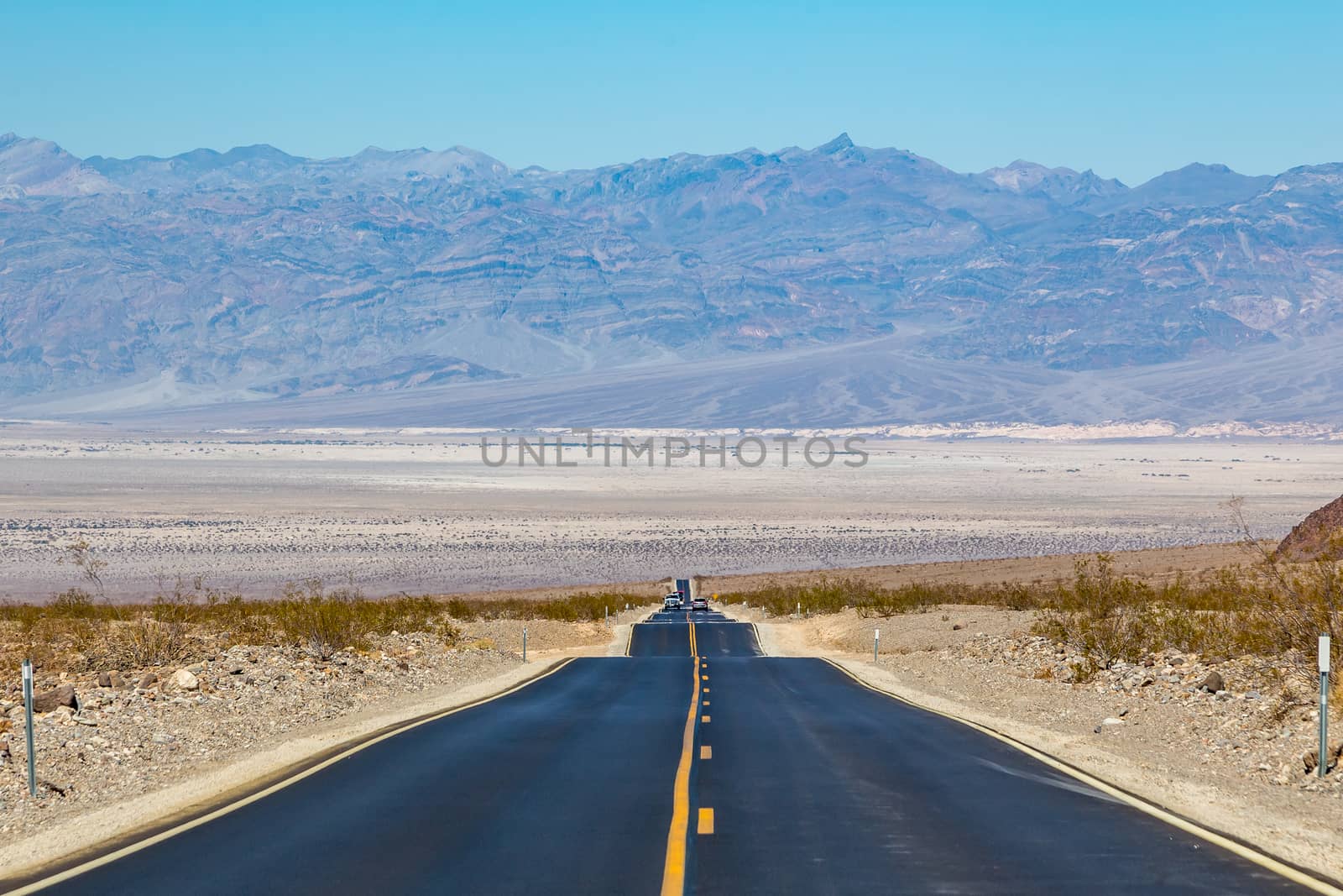
Stovepipe Wells is a small waystation entirely inside Death Valley National Park and along California State Route 190 at less than 10 feet above sea level. West on SR190 is Towne Pass at about 4,950 feet above sea level. Eventually, the road meets Panamint Valley Road at Panamint Junction in the Panamint Valley. East on SR190 the road leads to Furnace Creek and Death Valley Junction.
Legal
-
Royalty Free License
The license type determines how you can use this image.

Std. Ext. Print / Editorial Graphic Design Web Design Social Media Edit & Modify Multi-user Resale Items 1 Unlimited Runs - Please see licensing information by clicking here
Keywords
- Badwater
- Badwater Basin
- Black Mountains
- California
- Death Valley Canyon
- Funeral Mountains Wilderness Area
- Furnace Creek
- Greenwater Range
- Hells Gate
- Owlshead Mountains
- Panamint Range
- Stovepipe Wells
- Thimble Peak
- barren
- blue sky
- bone-dry
- borax
- cloudless
- death valley
- desert
- drought
- dry
- dust
- dusty
- earthy
- halite
- isolation
- lifeless
- mountains
- national park
- nature
- parched
- sky
- waterless
- wilderness