Addlestone, Surrey - Aerial View Stock Image
by BasPhoto
Description
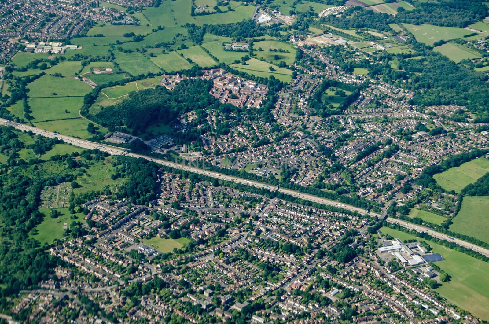
Aerial view of Addlestone in Surrey with the M25 motorway cutting the residential areas in two with Row Town to the upper part of the picture. In the bottom left corner is Jubilee High School and to the top left is the Animal and Plant Health Agency.
Legal
-
Royalty Free License
The license type determines how you can use this image.

Std. Ext. Print / Editorial Graphic Design Web Design Social Media Edit & Modify Multi-user Resale Items 1 Unlimited Runs - Please see licensing information by clicking here
Keywords
- Addlestone
- Runnymede
- Surrey
- aerial view
- from above
- bird's eye view
- elevated view
- green
- town fields
- residential
- suburb
- M25
- Motorway
- school
- houses
- homes
- sunny
- summer
- image
- outdoors
- exterior
- horizontal
- landscape