La Croix de Cassini (from le col de Sarenne), Isere, France Stock Image
by GABIS
Description
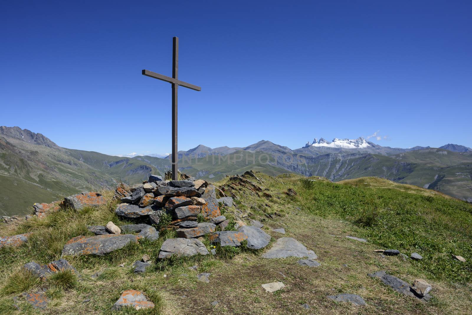
"La Croix de Cassini" (alt. 2361 meters) offers a 360o panorama of all the surrounding peaks and ranges. Cassini de Thury, French astronomer and cartographer, used it for his measures and draw his maps 250 years ago.
Legal
-
Royalty Free License
The license type determines how you can use this image.

Std. Ext. Print / Editorial Graphic Design Web Design Social Media Edit & Modify Multi-user Resale Items 1 Unlimited Runs - Please see licensing information by clicking here
Keywords
- Aiguilles d'Arves
- Cassini
- Croix de Cassini
- Events
- Leisure
- Oisans
- Thury
- Untamed
- adventure
- alpine
- alps
- altitude
- attraction
- background
- backpack
- beautiful
- beauty
- blue
- calm
- cartographer
- cartography
- catholic
- christ
- christian
- christianity
- clouds
- col de Sarenne
- cold
- concept
- country
- countryside
- cross
- crucifix
- crucifixion
- day
- destination
- discover
- ecology
- ecrins
- environment
- europe
- european
- explore
- extreme
- faith
- field
- france
- free
- freedom
- french