Map of the United Kingdom of Great Britain and Northern Ireland Stock Image
Description
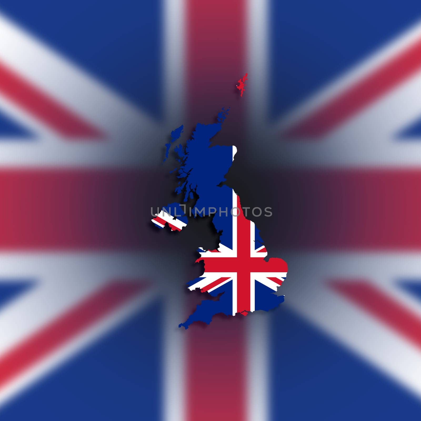
Map of the United Kingdom of Great Britain and Northern Ireland with national flag, isolated
Legal
-
Royalty Free License
The license type determines how you can use this image.

Std. Ext. Print / Editorial Graphic Design Web Design Social Media Edit & Modify Multi-user Resale Items 1 Unlimited Runs - Please see licensing information by clicking here
Keywords
- administrative
- atlas
- backdrop
- background
- blue
- border
- boundary
- britain
- british
- cartography
- color
- contour
- country
- cut
- design
- destination
- detailed
- digital
- east
- editable
- flag
- geography
- graphic
- graphical
- great britain
- grunge
- icon
- illustration
- isolated
- land
- language
- line
- map
- middle
- national
- official
- outline
- raster
- red
- shape
- sign
- silhouette
- state
- symbol
- tourism
- travel
- uk
- united kingdom
- united kingdom of great britain and northern ireland
- white