DEM digital elevation model. GIS lidar product made after proccesing aerial pictures taken from a drone by mapping. Neural network ai generated Stock Image
by Mehaniq
Description
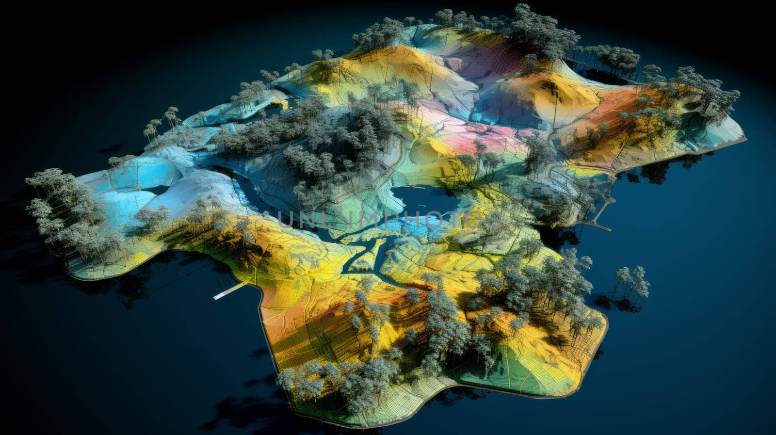
DEM digital elevation model. GIS lidar product made after proccesing aerial pictures taken from a drone by mapping. Neural network ai generated art
Legal
-
Royalty Free License
The license type determines how you can use this image.

Std. Ext. Print / Editorial Graphic Design Web Design Social Media Edit & Modify Multi-user Resale Items 1 Unlimited Runs - Please see licensing information by clicking here
Keywords
- gis
- map
- lidar
- geology
- geospatial
- mine
- geographic
- data
- topography
- topographic
- aerial
- spatial
- cartography
- scan
- digital
- model
- technology
- earth
- stockpile
- terrain
- development
- survey
- photogrammetry
- esri
- industry
- construction
- elevation
- investigation
- engineer
- laser
- agronomy
- inspection
- surveying
- modeling
- mapping
- dem
- digital elevation model
- elevate
- geographic information system
- georeferencing
- orthorectified
- ai generated
- neural network
- neuro
- artificial intelligence
- ai