Mont-Tremblant, QC Canada - 08.27.2024: Detailed Topographic Map Model with Lakes, Rivers, and Terrain Features, a Geographical Study Stock Image
by JuliaDorian
Description
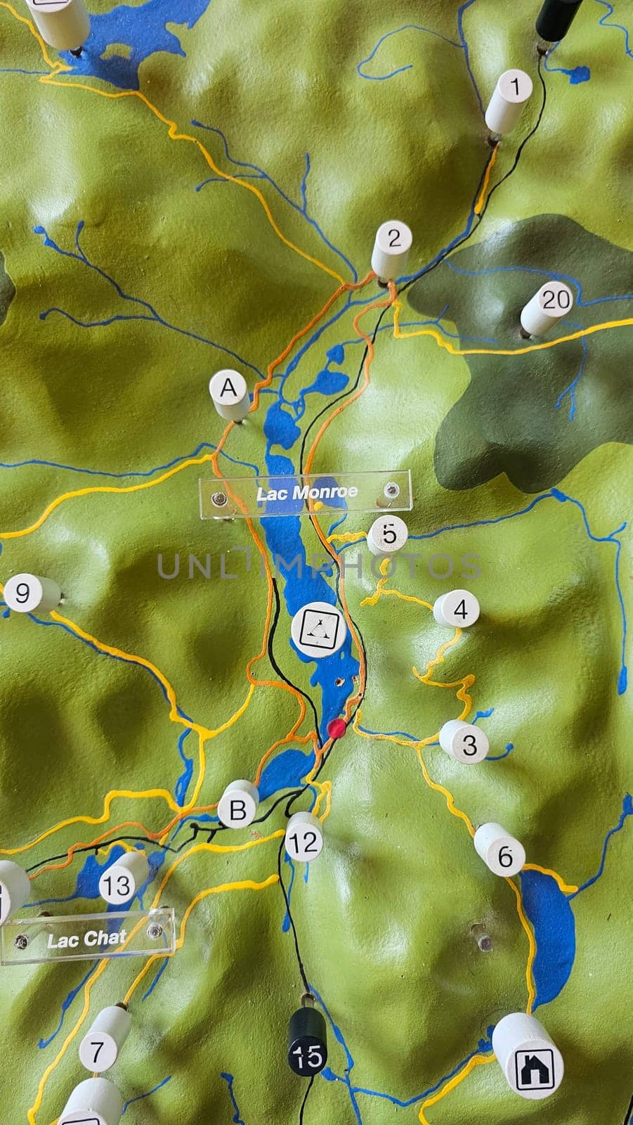
Mont-Tremblant, QC Canada - 08.27.2024: Detailed Topographic Map Model with Lakes, Rivers, and Terrain Features, a Geographical Study.
Legal
- Editorial License
Keywords
- topographic
- map
- model
- lake
- river
- terrain
- geography
- study
- education
- landscape
- region
- feature
- detail
- resource
- cartography
- learning
- relief
- contour
- elevation
- surface
- watershed
- drainage
- basin
- slope
- gradient
- valley
- hill
- mountain
- forest
- woodland
- vegetation
- ecology
- environment
- exploration
- survey
- navigation
- planning
- analysis
- representation
- scale
- marker
- locator
- position
- point
- destination
- location
- landmark
- site
- zone
- boundary