- Filter By:
-
-
Stock photos and images of username:dpreezg

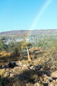
Rainbow cutting through quiver tree at Augrabies Falls
Stock PhotoUsername
dpreezgResolution
2400x3595pxRainbow cutting through quiver tree at Augrabies Falls

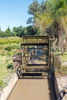
Irrigation canal and waterwheel in Keimoes
Stock PhotoUsername
dpreezgResolution
2400x3595pxIrrigation canal and waterwheel in Keimoes

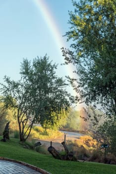
The end of a rainbow at Augrabies Falls
Stock PhotoUsername
dpreezgResolution
2003x3000pxThe end of a rainbow at Augrabies Falls

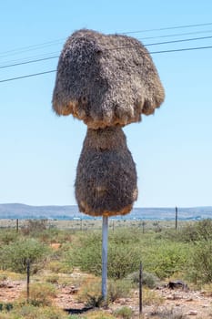
Community bird nest built on a telephone pole near Groblershoop
Stock PhotoUsername
dpreezgResolution
2400x3600pxCommunity bird nest built on a telephone pole near Groblershoop
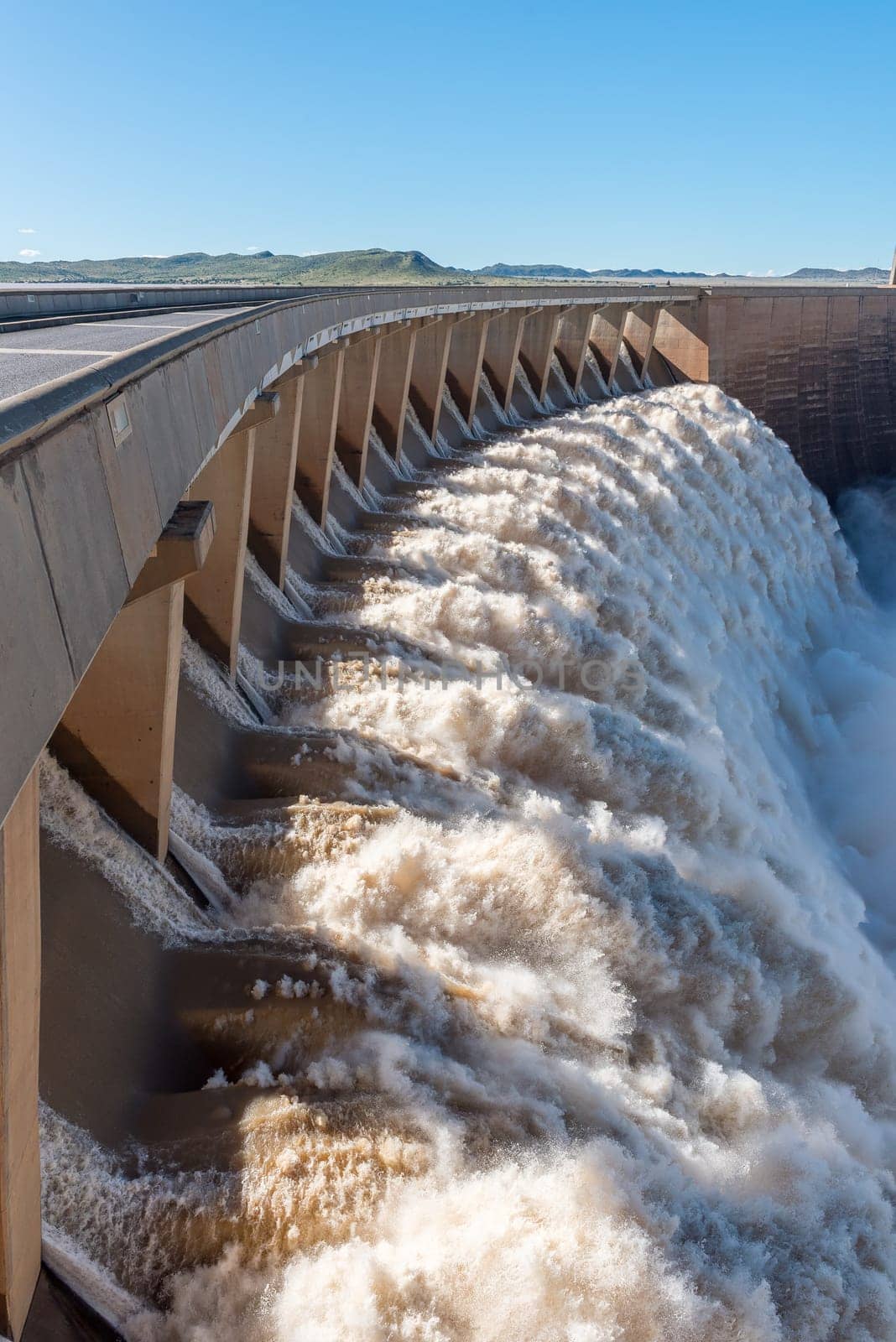
The largest dam in South Africa, the Gariep Dam, overflowing
Stock PhotoUsername
dpreezgResolution
2400x3595pxThe largest dam in South Africa, the Gariep Dam, overflowing

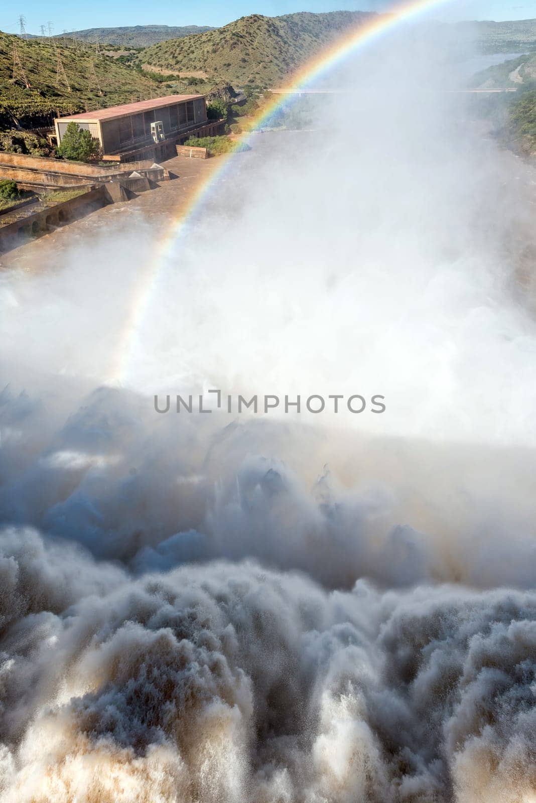
The Gariep Dam overflowing. A rainbow is visible
Stock PhotoUsername
dpreezgResolution
2400x3595pxThe Gariep Dam overflowing. A rainbow is visible


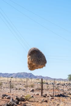
Community bird nest hanging on telephone wires
Stock PhotoUsername
dpreezgResolution
2400x3600pxCommunity bird nest hanging on telephone wires
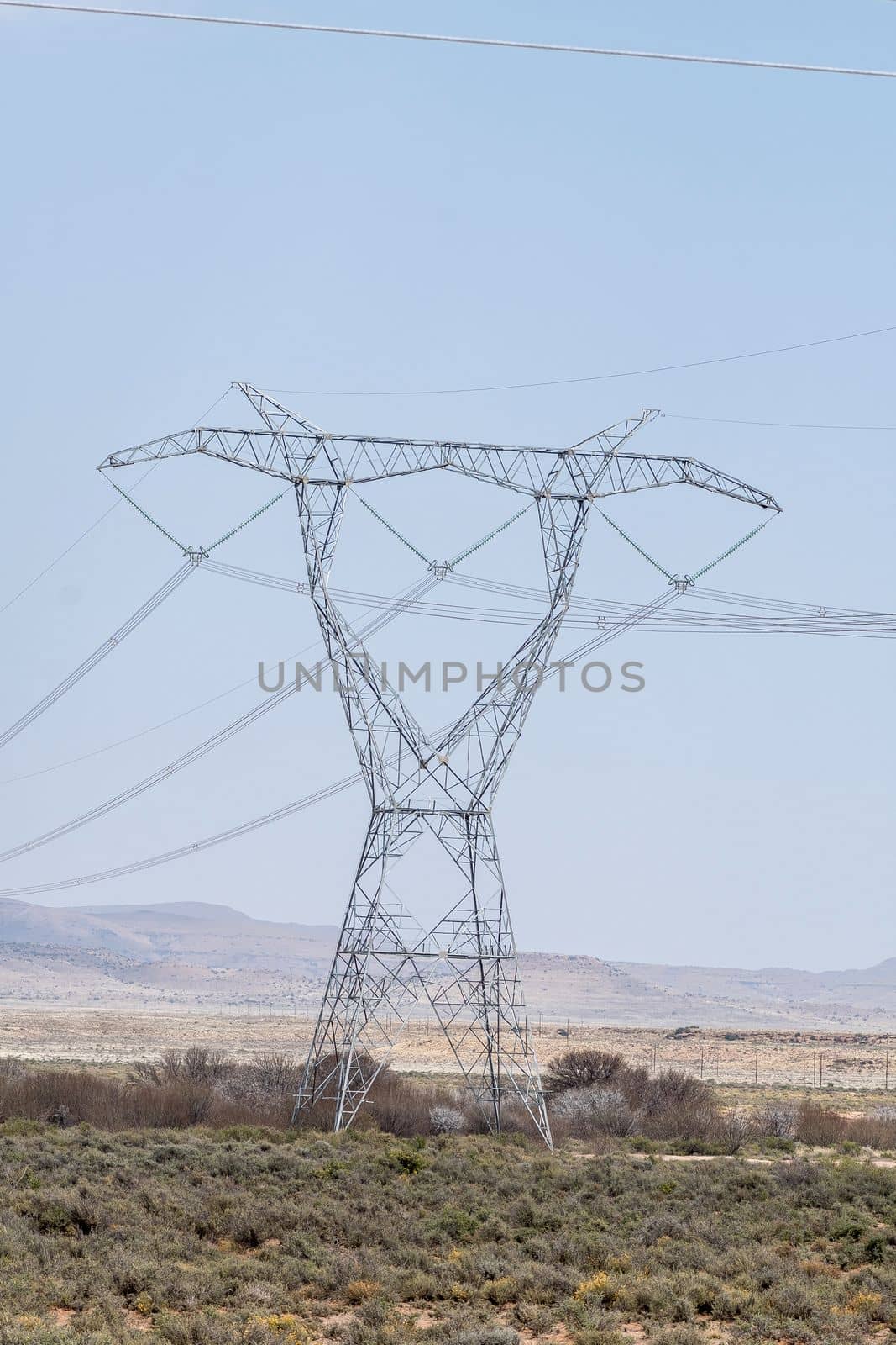
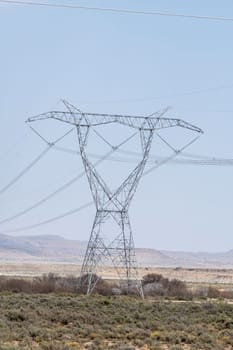
Delta type pylon on a power transmission line
Stock PhotoUsername
dpreezgResolution
2400x3600pxDelta type pylon on a power transmission line
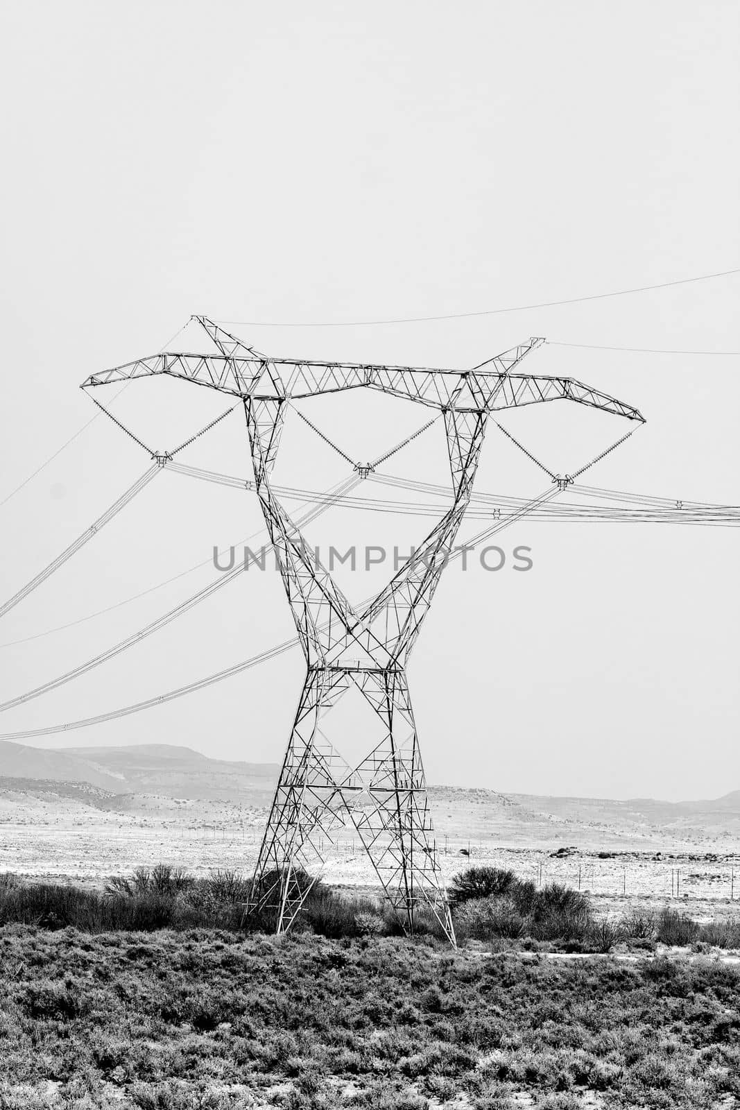
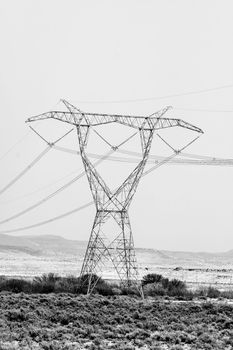
Delta type pylon on a power transmission line. Monochrome
Stock PhotoUsername
dpreezgResolution
2400x3600pxDelta type pylon on a power transmission line. Monochrome

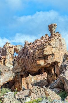
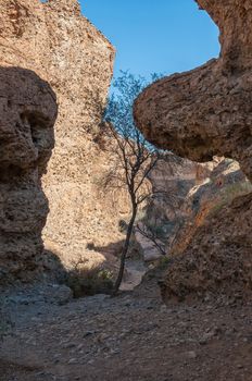
See through hill at the Stadsaal Caves in the Cederberg
Stock PhotoUsername
dpreezgResolution
2400x3600pxSee through hill at the Stadsaal Caves in the Cederberg
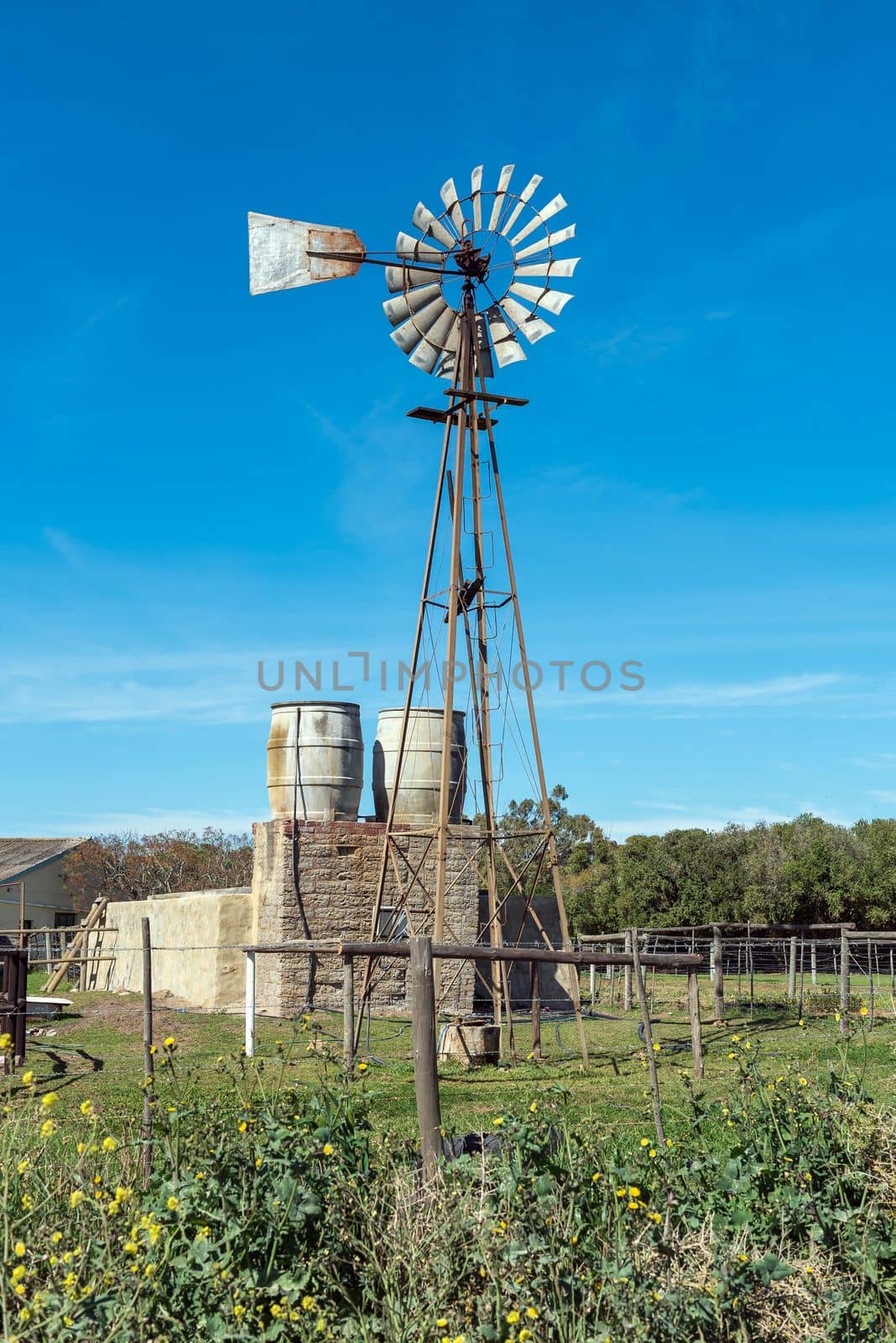
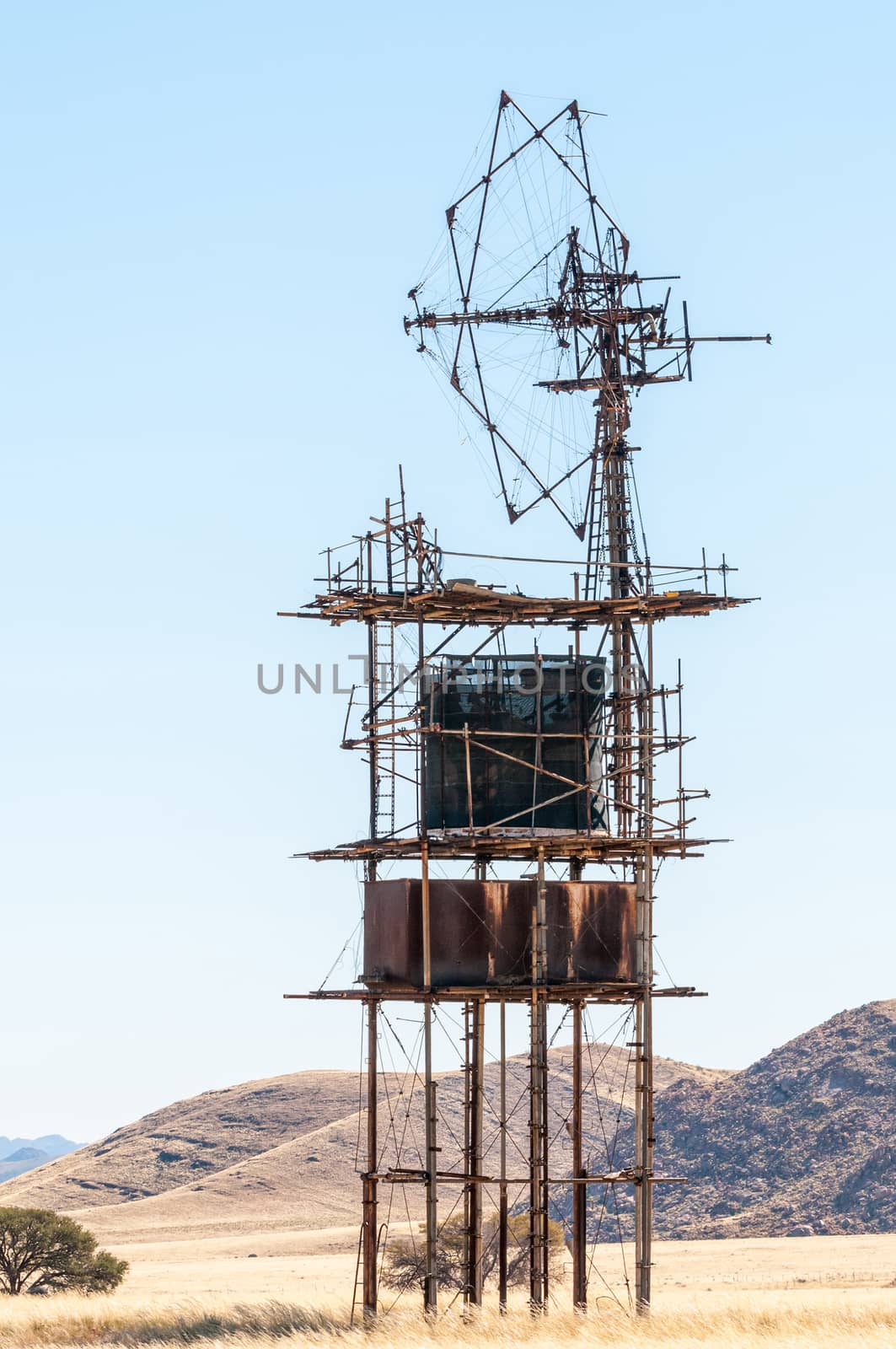
Windmill, water tanks and dam at Prinskraal
Stock PhotoUsername
dpreezgResolution
2400x3595pxWindmill, water tanks and dam at Prinskraal

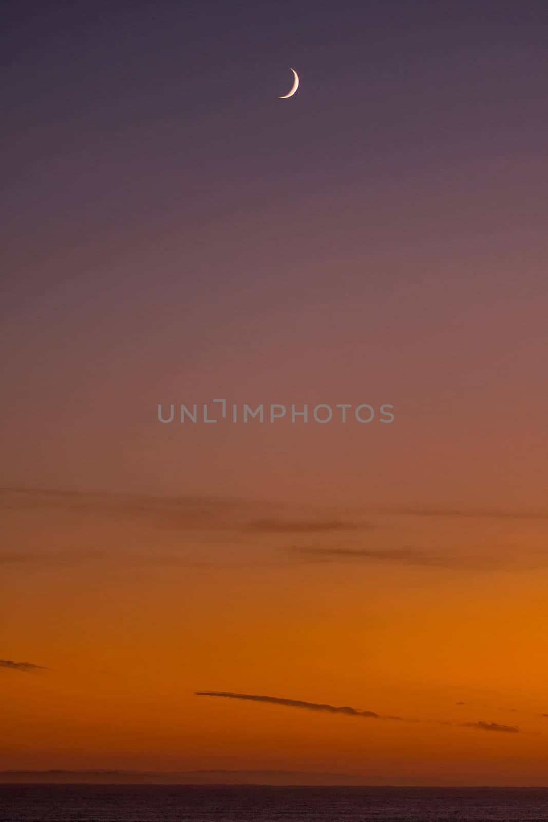
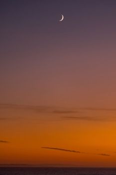
Sunrise over the Indian Ocean at Struisbaai with moon visible
Stock PhotoUsername
dpreezgResolution
2000x3000pxSunrise over the Indian Ocean at Struisbaai with moon visible
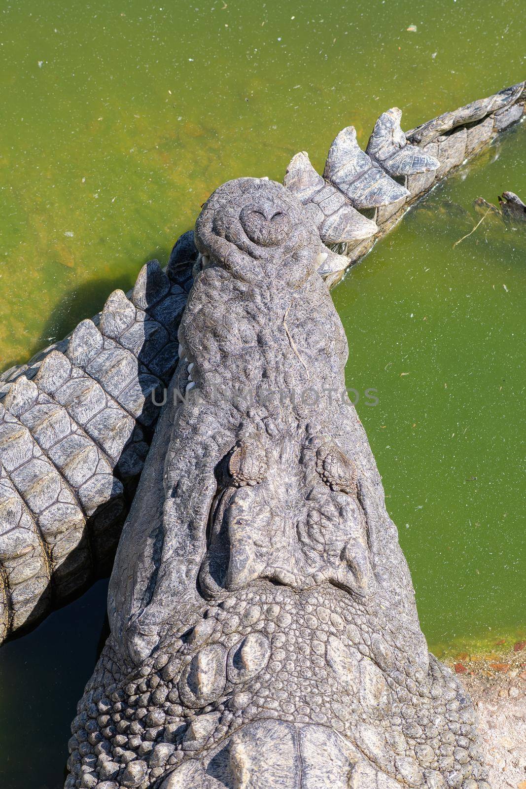
The face and tail of a nile crocodile
Stock PhotoUsername
dpreezgResolution
2400x3600pxThe face and tail of a nile crocodile

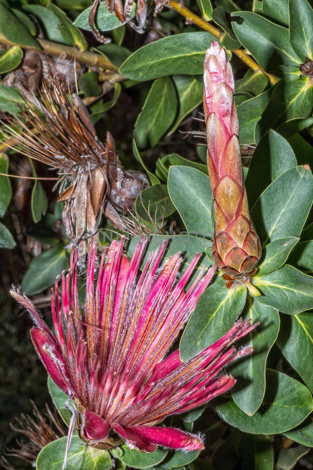
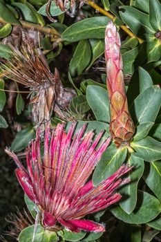
Shuttlecock Sugarbush, Protea Aurea, in the Helderberg Nature Reserve
Stock PhotoUsername
dpreezgResolution
2100x3150pxShuttlecock Sugarbush, Protea Aurea, in the Helderberg Nature Reserve

Door of the United Congregational Church in Pniel
Stock PhotoUsername
dpreezgResolution
2400x3595pxDoor of the United Congregational Church in Pniel


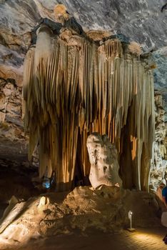
Stalagmites and stalactites in the Cango Caves near Oudthoorn
Stock PhotoUsername
dpreezgResolution
2400x3595pxStalagmites and stalactites in the Cango Caves near Oudthoorn
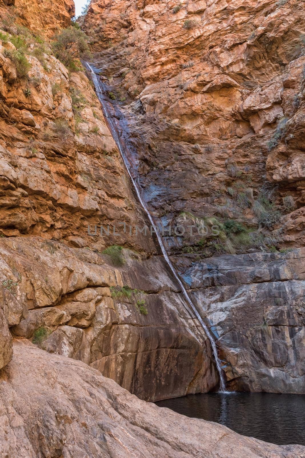
Meiringspoort waterfall in the Swartberg mountain
Stock PhotoUsername
dpreezgResolution
2400x3595pxMeiringspoort waterfall in the Swartberg mountain
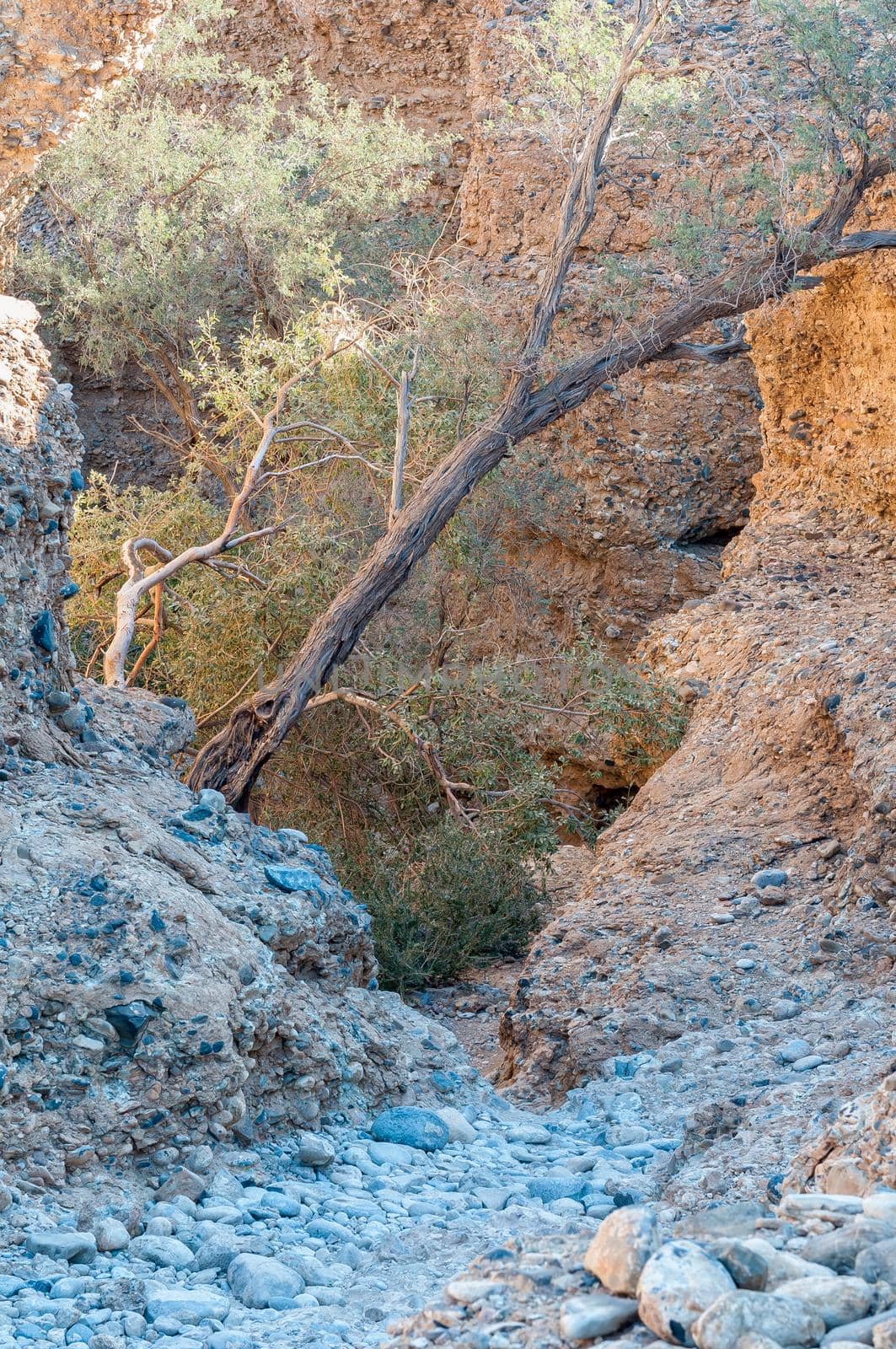
Path leading down into the Sesriem Canyon
Stock PhotoUsername
dpreezgResolution
2400x3613pxPath leading down into the Sesriem Canyon
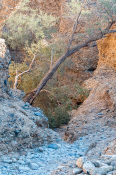
Path leading out of the Sesriem Canyon
Stock PhotoUsername
dpreezgResolution
2400x3613pxPath leading out of the Sesriem Canyon


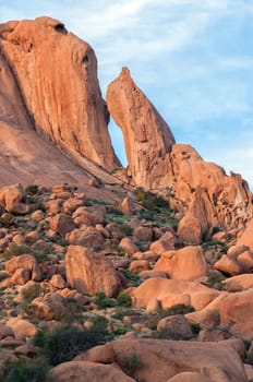
Rock formations at sunset at Spitzkoppe
Stock PhotoUsername
dpreezgResolution
2400x3613pxRock formations at sunset at Spitzkoppe

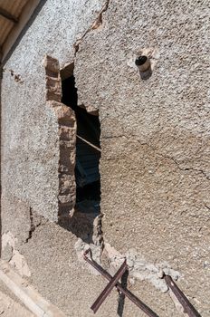
Decaying architecture at Kolmanskop, an abandoned diamond mining
Stock PhotoUsername
dpreezgResolution
2100x3162pxDecaying architecture at Kolmanskop, an abandoned diamond mining
Historic, old, windmill next to road C13
Stock PhotoUsername
dpreezgResolution
2000x3011pxHistoric, old, windmill next to road C13


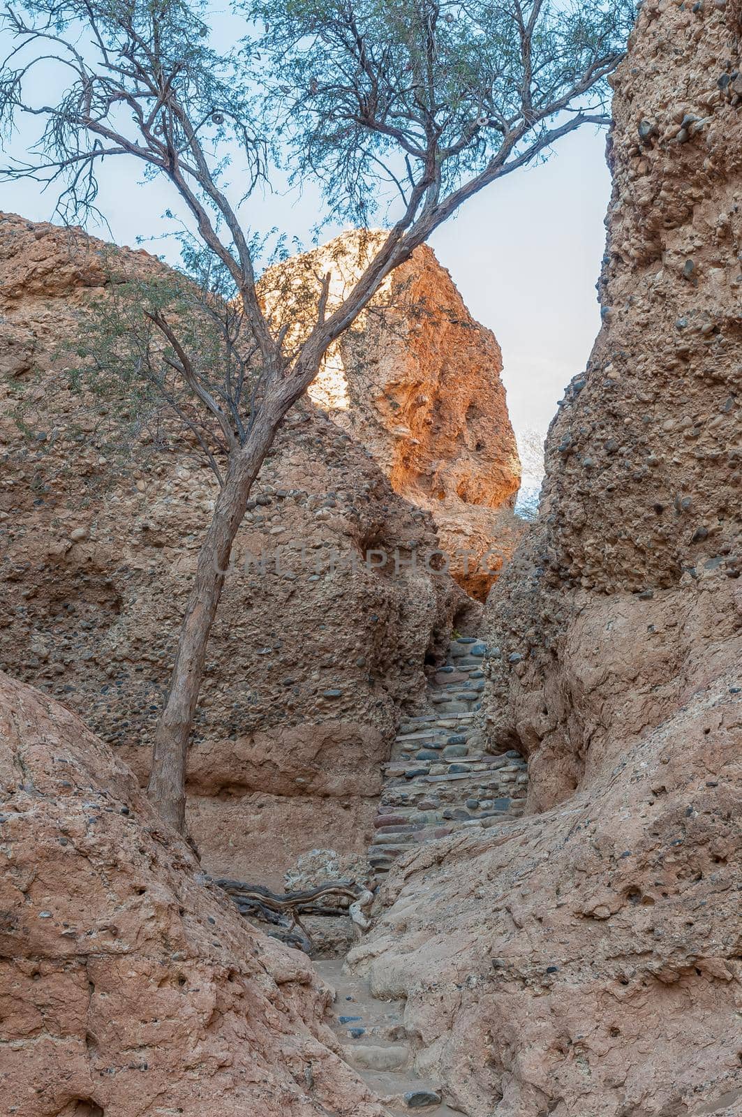
Entrance to the Sesriem Canyon
Stock PhotoUsername
dpreezgResolution
2100x3162pxEntrance to the Sesriem Canyon
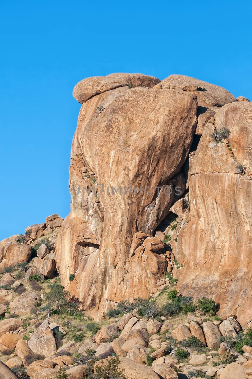
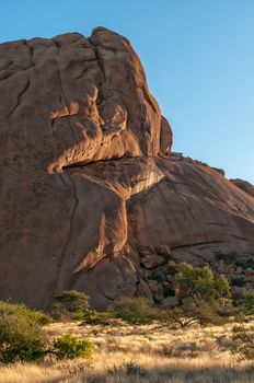
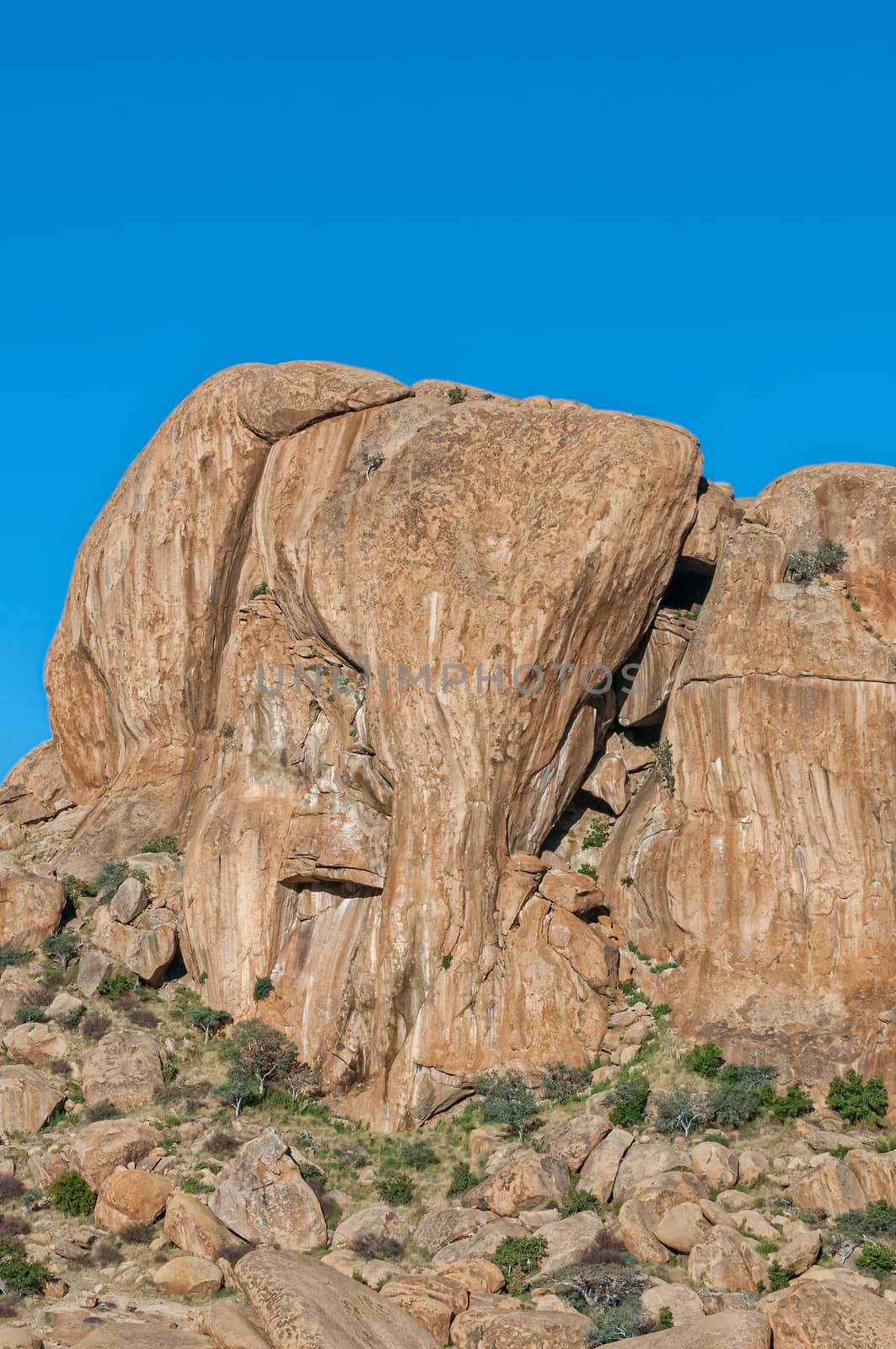
Elephant Head rock at Ameib
Stock PhotoUsername
dpreezgResolution
2100x3162pxElephant Head rock at Ameib


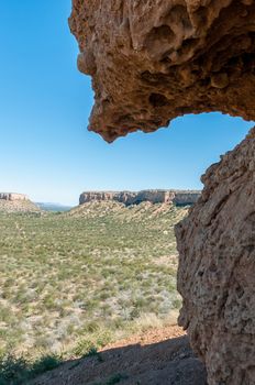
View from the Vingeklip near Outjo
Stock PhotoUsername
dpreezgResolution
2100x3162pxView from the Vingeklip near Outjo
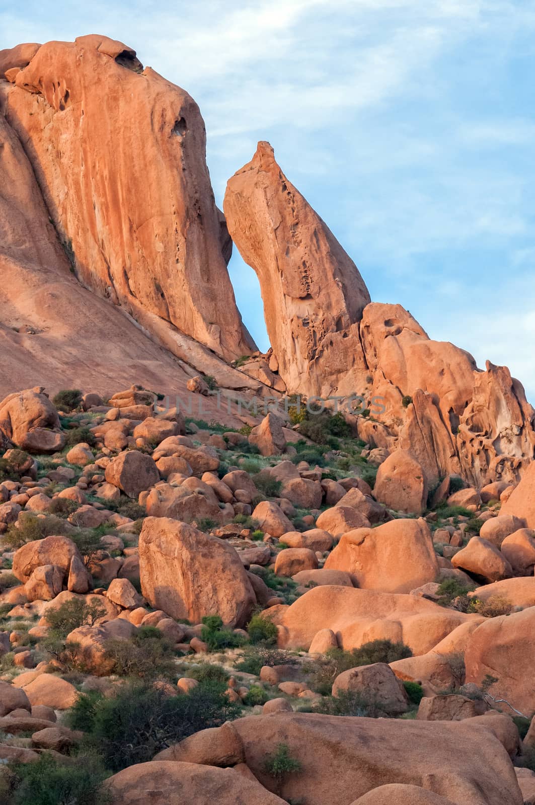
Granite needle and rock formation resembling baboon face at Spit
Stock PhotoUsername
dpreezgResolution
2100x3161pxGranite needle and rock formation resembling baboon face at Spit
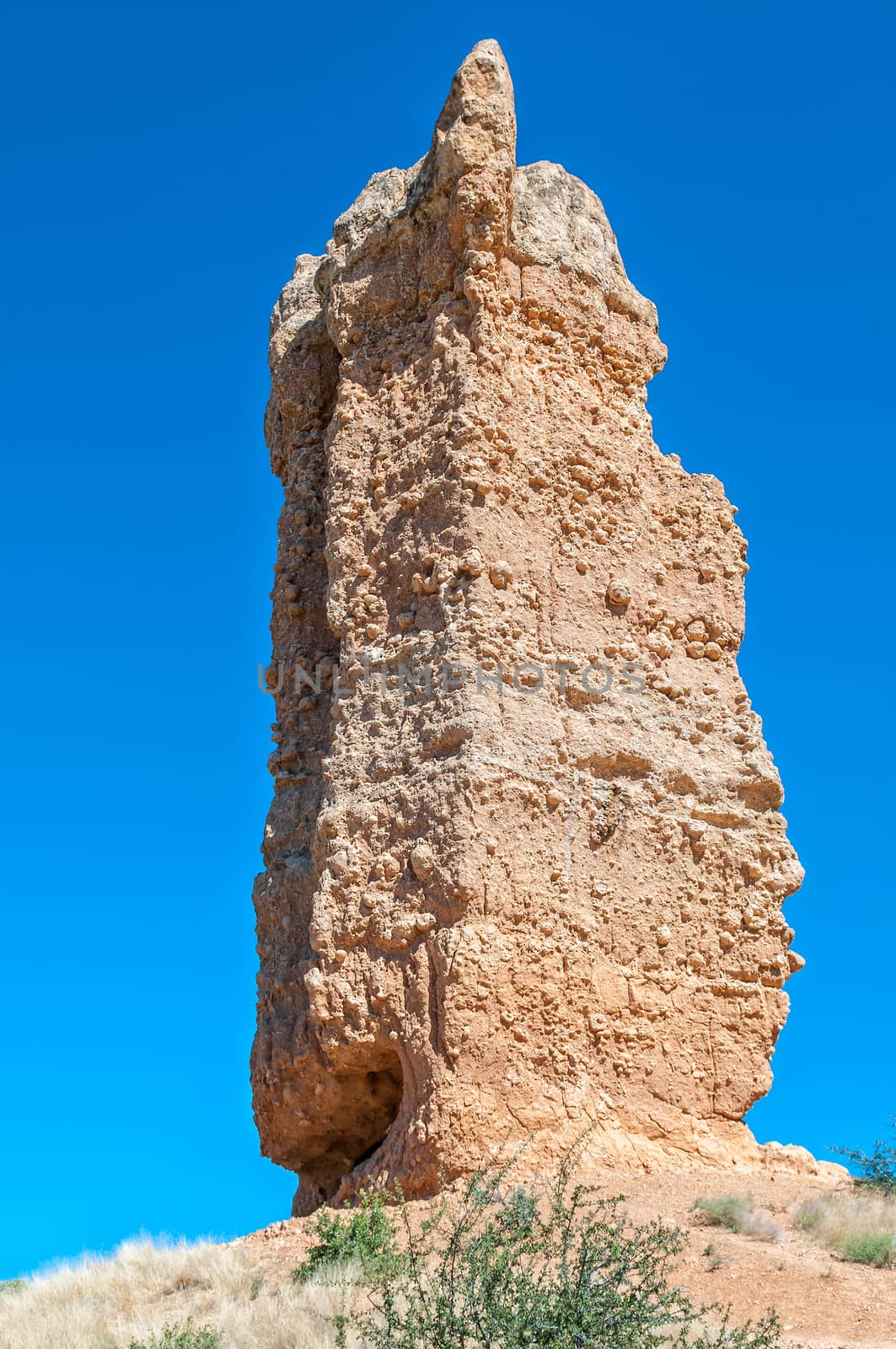
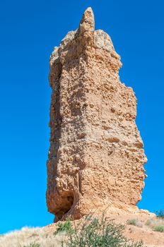
Vingerklip, a sedimentary rock pillar near Outjo in Namibia
Stock PhotoUsername
dpreezgResolution
2000x3011pxVingerklip, a sedimentary rock pillar near Outjo in Namibia
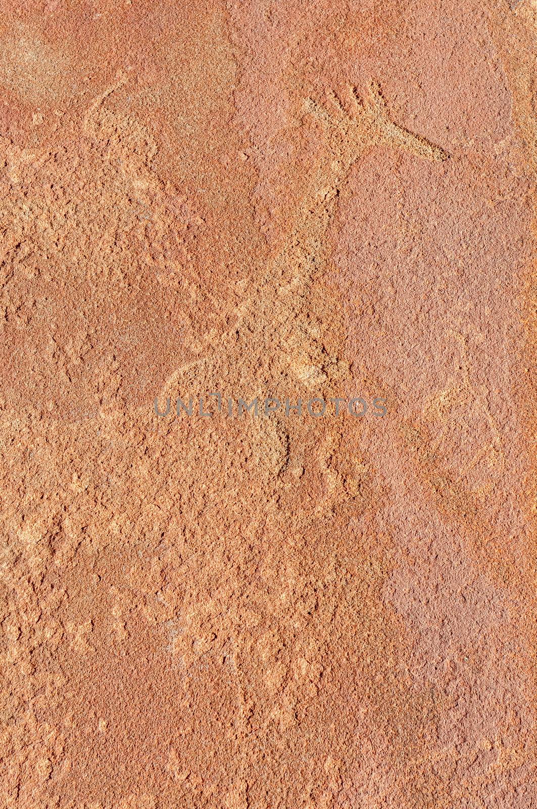
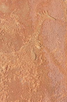
Rock engravings at Twyfelfontein
Stock PhotoUsername
dpreezgResolution
2100x3162pxRock engravings at Twyfelfontein
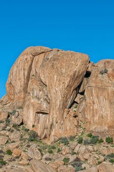
Elephant Head rock at Ameib
Stock PhotoUsername
dpreezgResolution
2000x3011pxElephant Head rock at Ameib

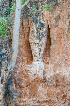
Stalactite and stalagmite pillar of a collapsed cave at Ongongo
Stock PhotoUsername
dpreezgResolution
2100x3162pxStalactite and stalagmite pillar of a collapsed cave at Ongongo
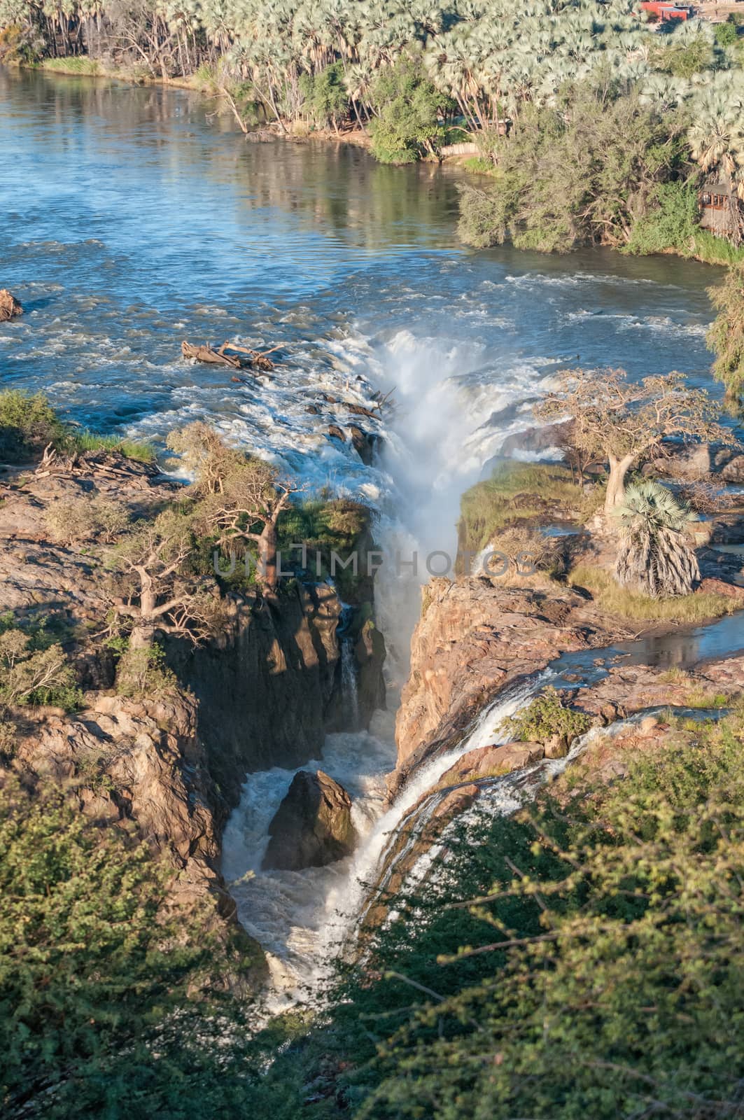
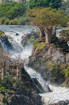
Part of the Epupa waterfalls
Stock PhotoUsername
dpreezgResolution
2000x3011pxPart of the Epupa waterfalls


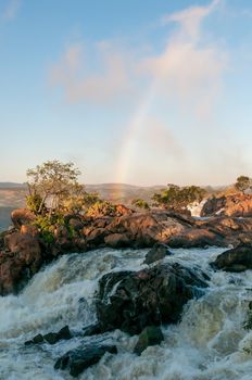
Top of the Ruacana waterfall in the Kunene River
Stock PhotoUsername
dpreezgResolution
2100x3161pxTop of the Ruacana waterfall in the Kunene River
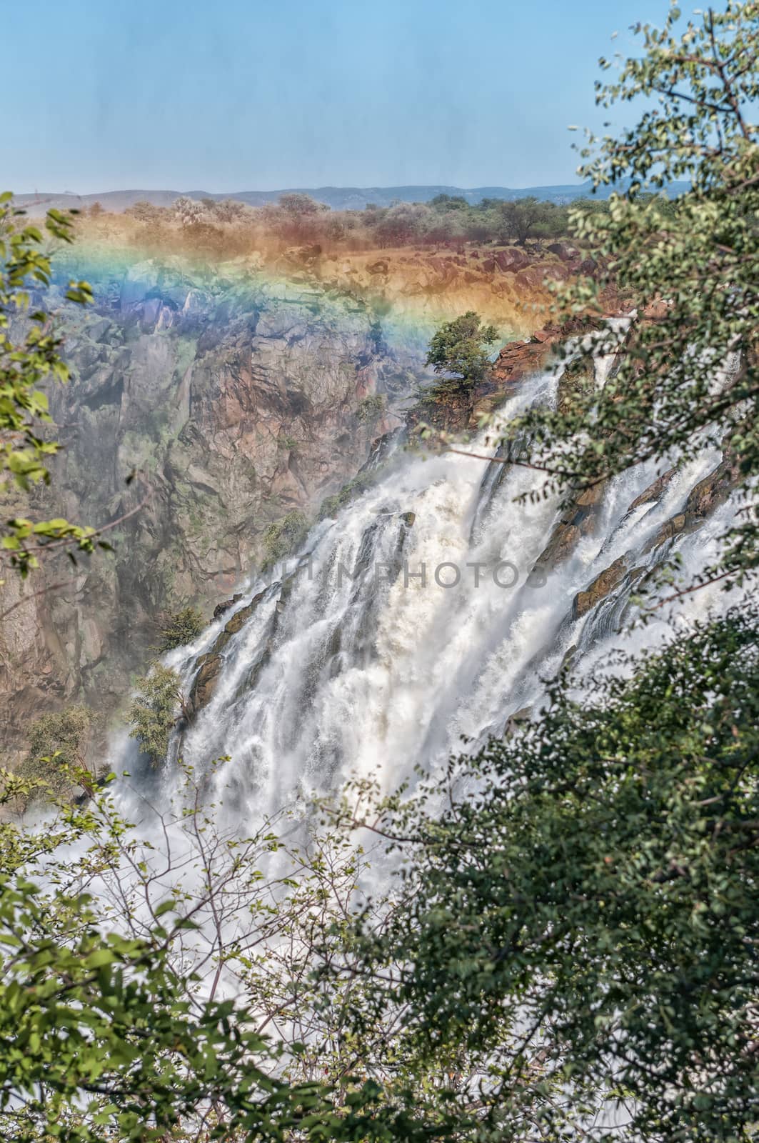
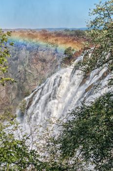
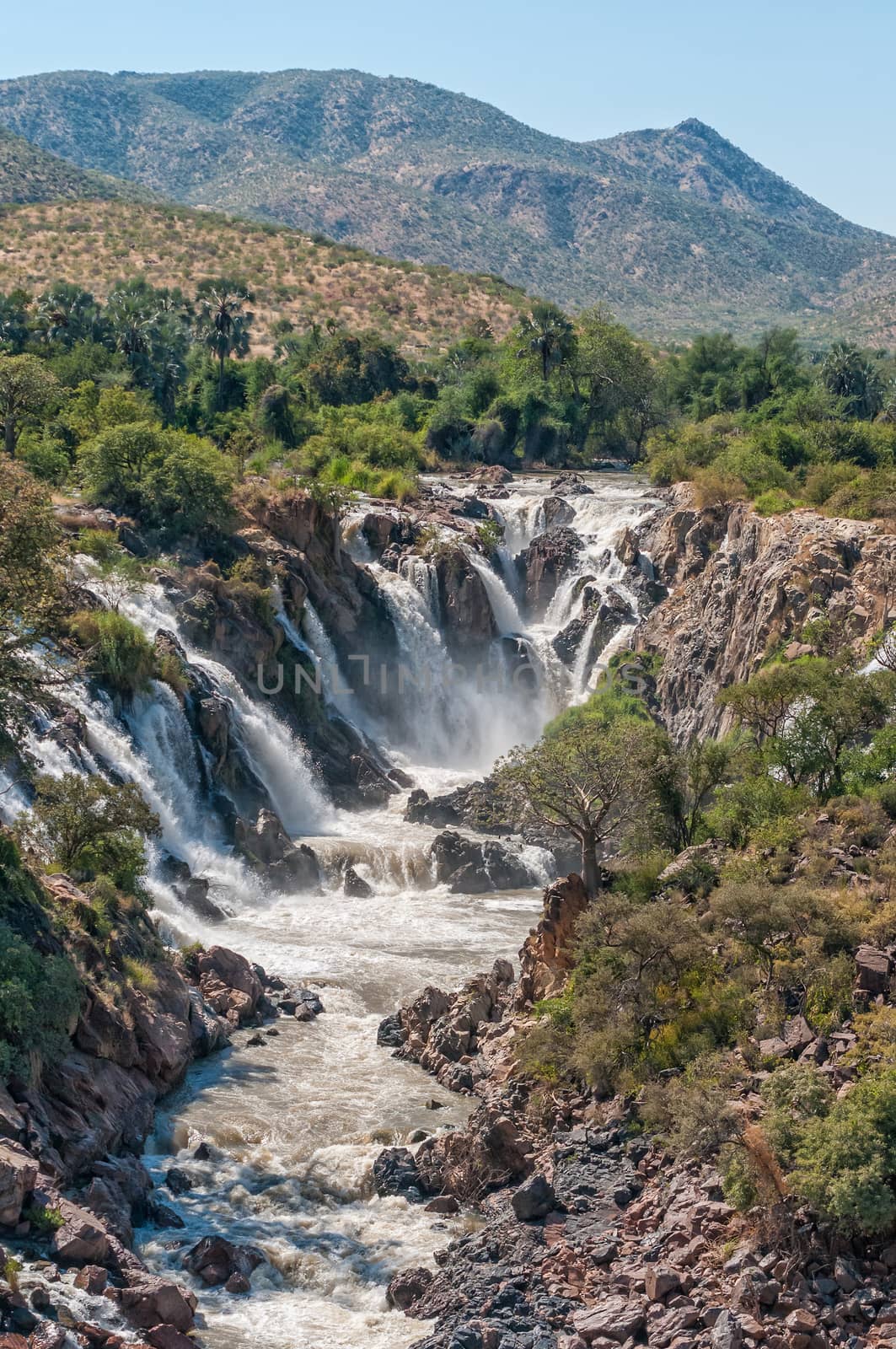
Ruacana waterfall in the Kunene River
Stock PhotoUsername
dpreezgResolution
2100x3161pxRuacana waterfall in the Kunene River
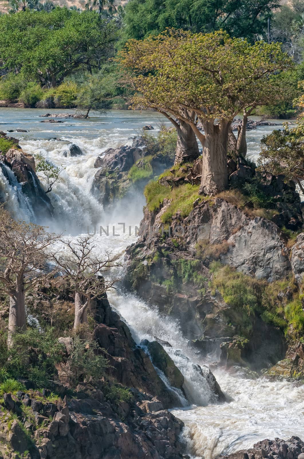
Part of the Epupa waterfalls
Stock PhotoUsername
dpreezgResolution
2000x3012pxPart of the Epupa waterfalls
Part of the Epupa waterfalls. People are visible
Stock PhotoUsername
dpreezgResolution
2000x3011pxPart of the Epupa waterfalls. People are visible

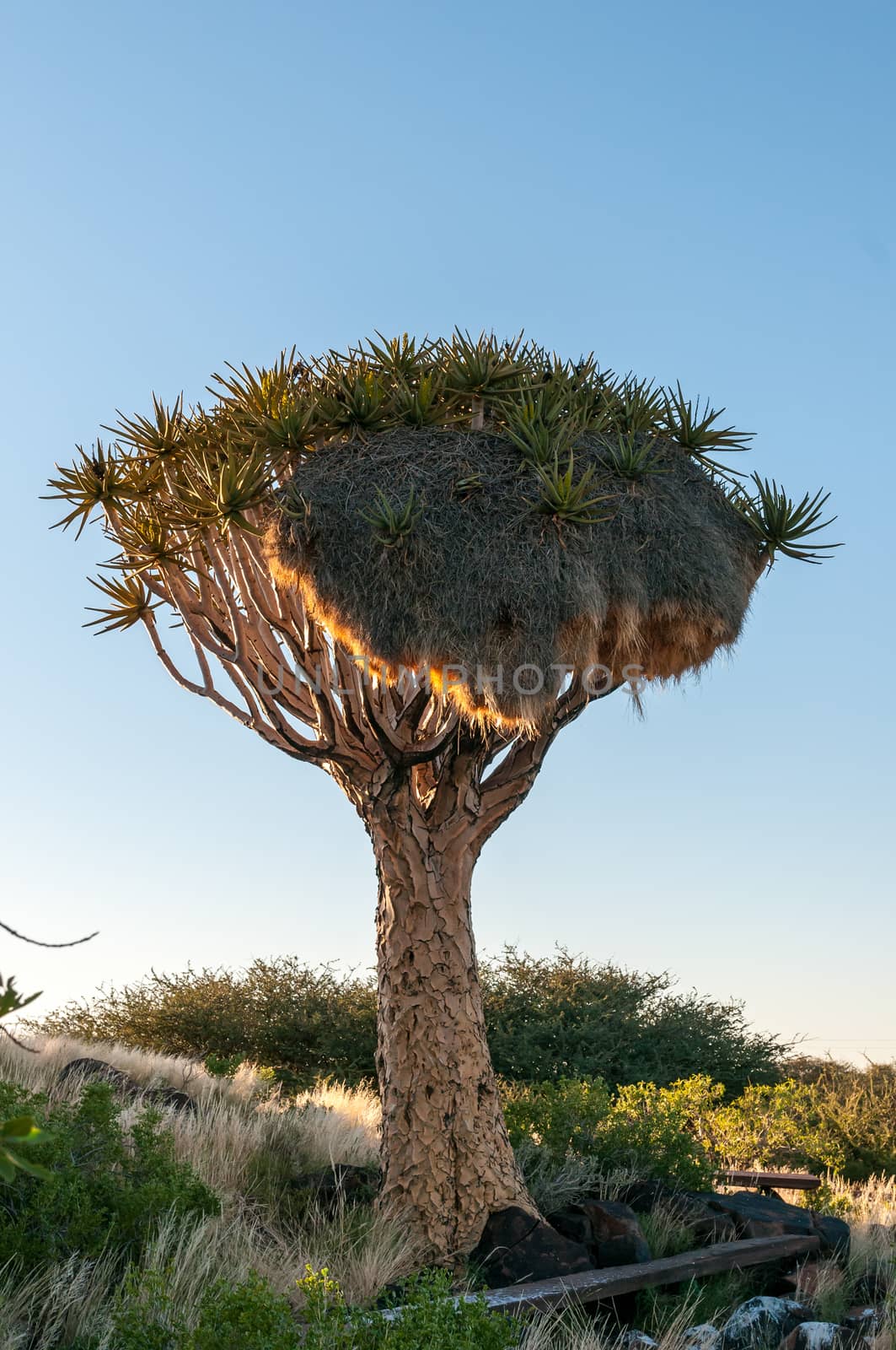
Quiver tree with a community bird nest at sunrise
Stock PhotoUsername
dpreezgResolution
2400x3613pxQuiver tree with a community bird nest at sunrise

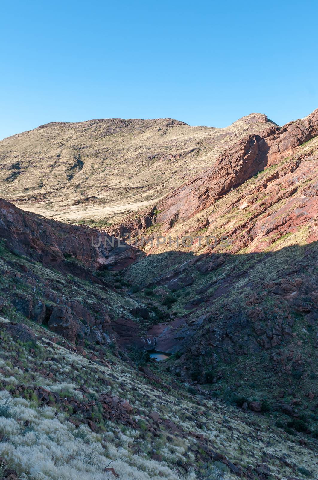
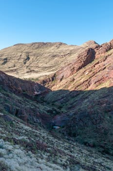
Inside of Brukkaros mountain, an extinct volcano
Stock PhotoUsername
dpreezgResolution
2100x3161pxInside of Brukkaros mountain, an extinct volcano
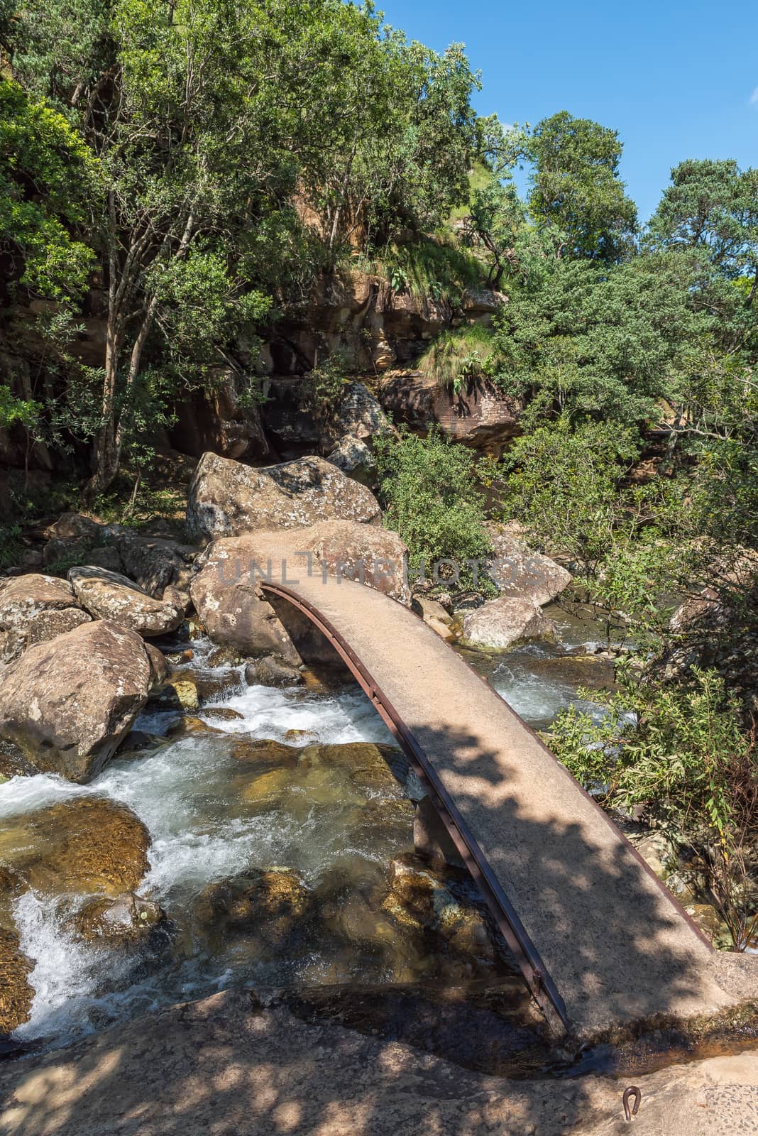
Footbridge over the Mahai River at Queens Causeway
Stock PhotoUsername
dpreezgResolution
2400x3595pxFootbridge over the Mahai River at Queens Causeway


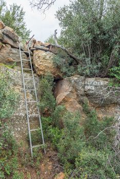
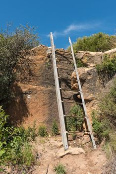
Ladder on the Zebra Hiking Trail at Eingedi
Stock PhotoUsername
dpreezgResolution
2400x3595pxLadder on the Zebra Hiking Trail at Eingedi

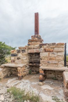
Ruin on the Zebra Hiking Trail at Eingedi
Stock PhotoUsername
dpreezgResolution
2100x3146pxRuin on the Zebra Hiking Trail at Eingedi
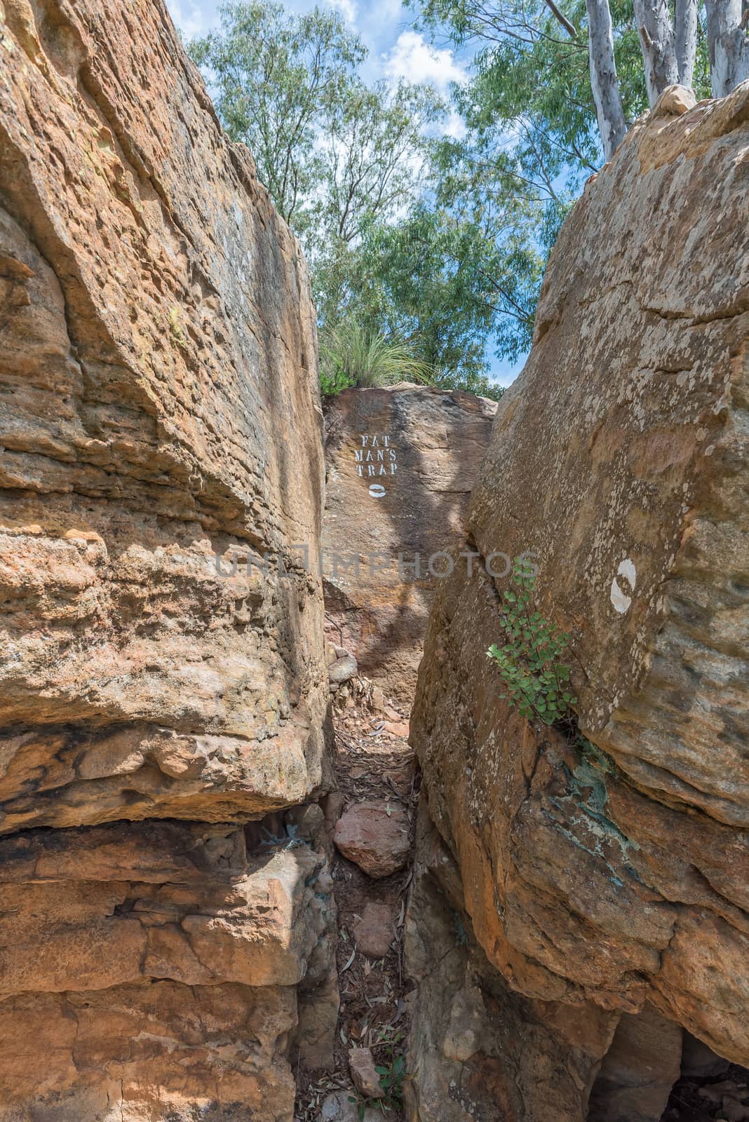
Eland Hiking Trail passing through Fat Mans Trap at Eingedi
Stock PhotoUsername
dpreezgResolution
2400x3595pxEland Hiking Trail passing through Fat Mans Trap at Eingedi

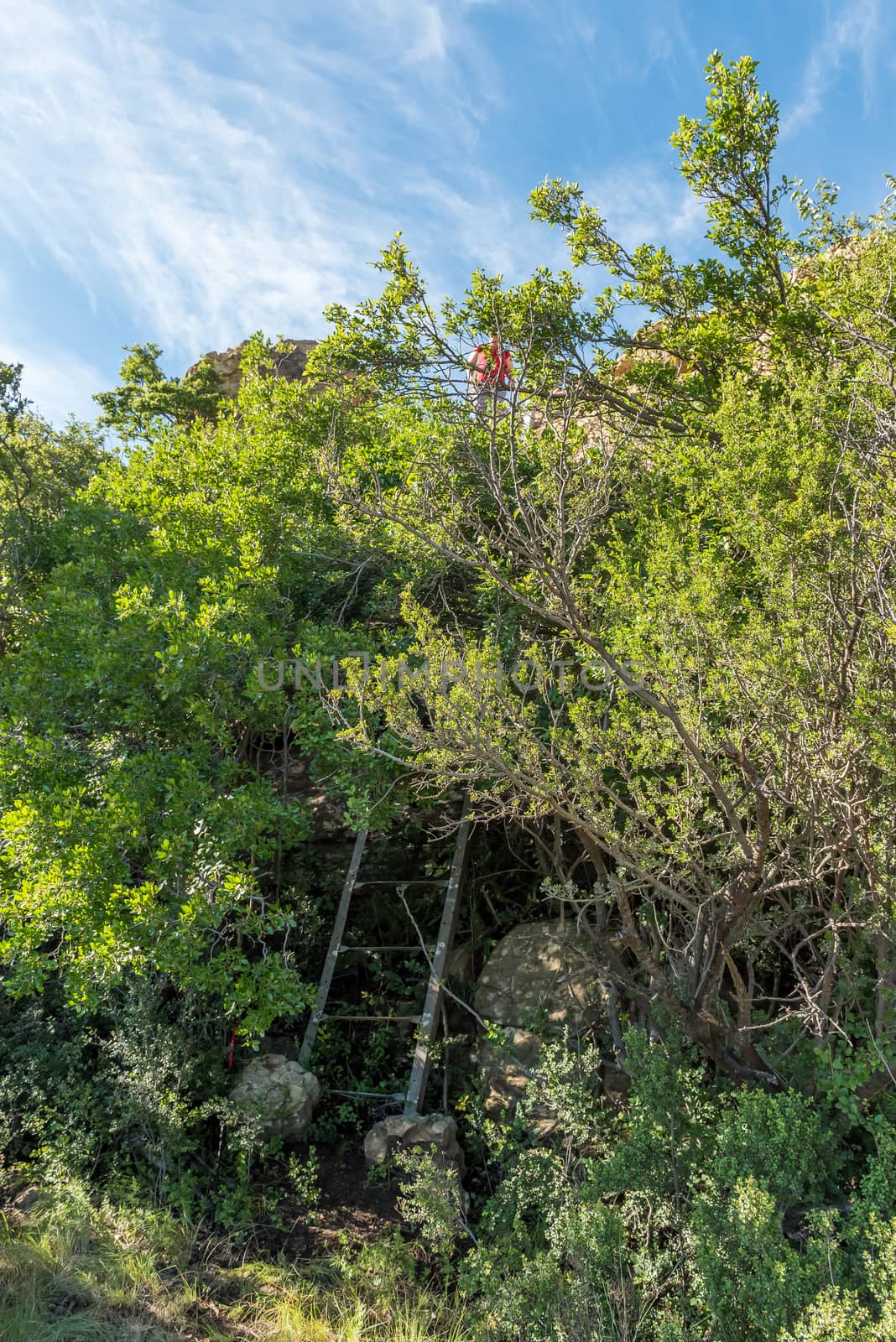
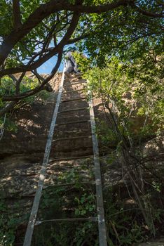
Hiker on ladder above the Eland Hiking Trail at Eingedi
Stock PhotoUsername
dpreezgResolution
2400x3595pxHiker on ladder above the Eland Hiking Trail at Eingedi
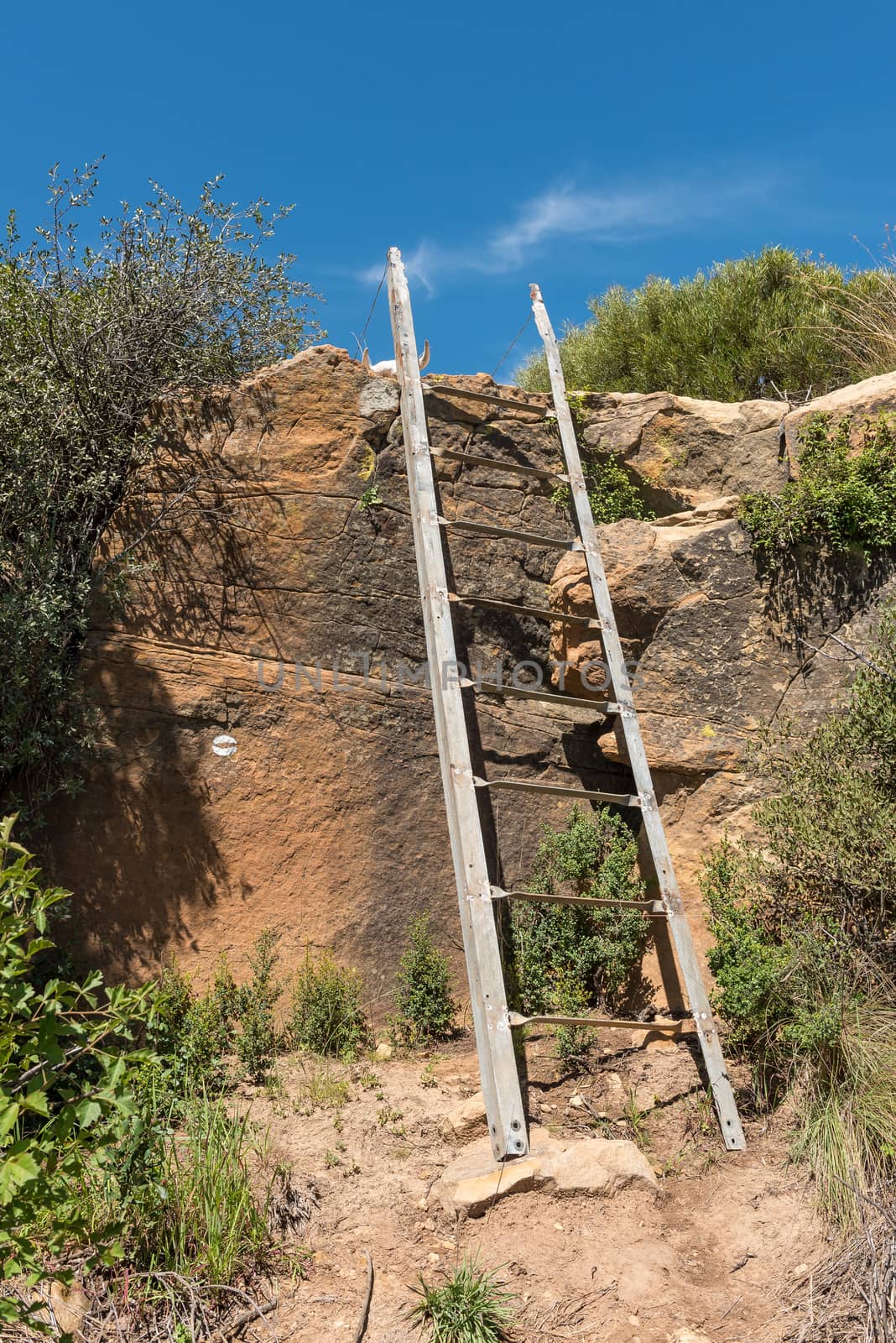
Ladder on the Eland Hiking Trail at Eingedi
Stock PhotoUsername
dpreezgResolution
2400x3595pxLadder on the Eland Hiking Trail at Eingedi

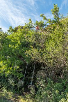
Hiker on ladder on the Eland Hiking Trail at Eingedi
Stock PhotoUsername
dpreezgResolution
2100x3146pxHiker on ladder on the Eland Hiking Trail at Eingedi
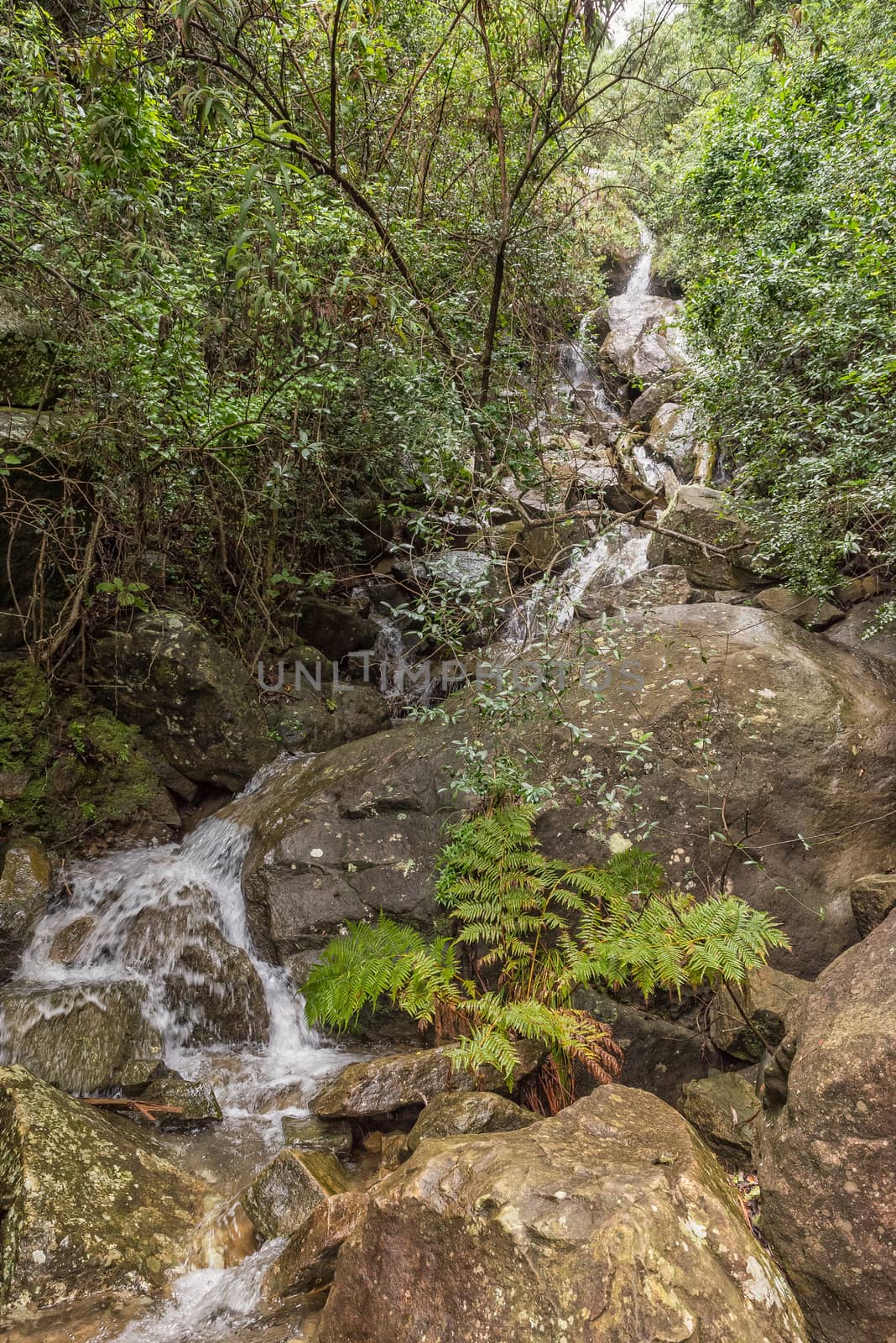
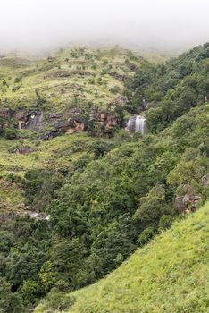
Cascades at Tiger Falls
Stock PhotoUsername
dpreezgResolution
2100x3146pxCascades at Tiger Falls


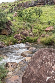
Mahai River crossing after heavy rains on a hiking trail
Stock PhotoUsername
dpreezgResolution
2400x3595pxMahai River crossing after heavy rains on a hiking trail
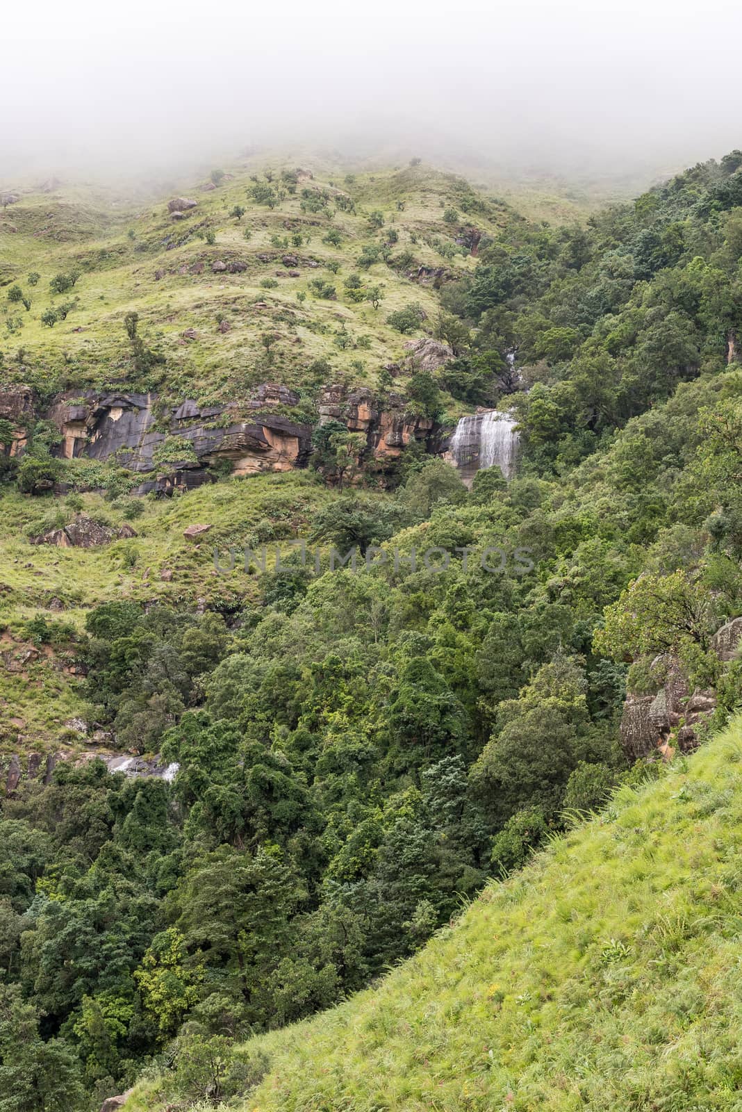
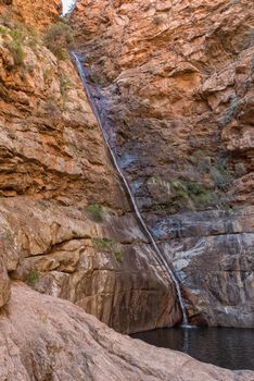
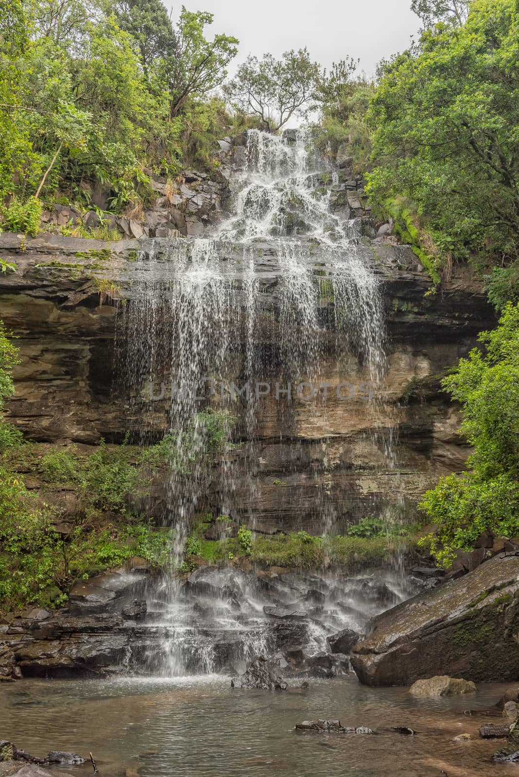
Tiger Falls on the slope of Dooley Hills
Stock PhotoUsername
dpreezgResolution
2400x3595pxTiger Falls on the slope of Dooley Hills
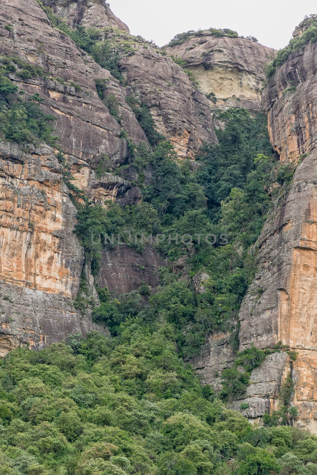
Mudslide hiking trail ascends Ploughmans Kop via the gully
Stock PhotoUsername
dpreezgResolution
2400x3600pxMudslide hiking trail ascends Ploughmans Kop via the gully

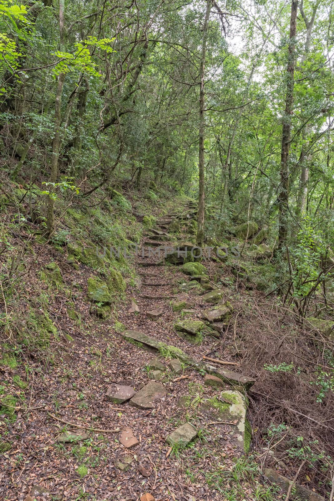
The Ottos Walk trail near Mahai
Stock PhotoUsername
dpreezgResolution
2100x3146pxThe Ottos Walk trail near Mahai

Sunday Falls near Mahai
Stock PhotoUsername
dpreezgResolution
2400x3595pxSunday Falls near Mahai
