- Filter By:
-
-
Stock photos and images of username:SteveAllenPhoto
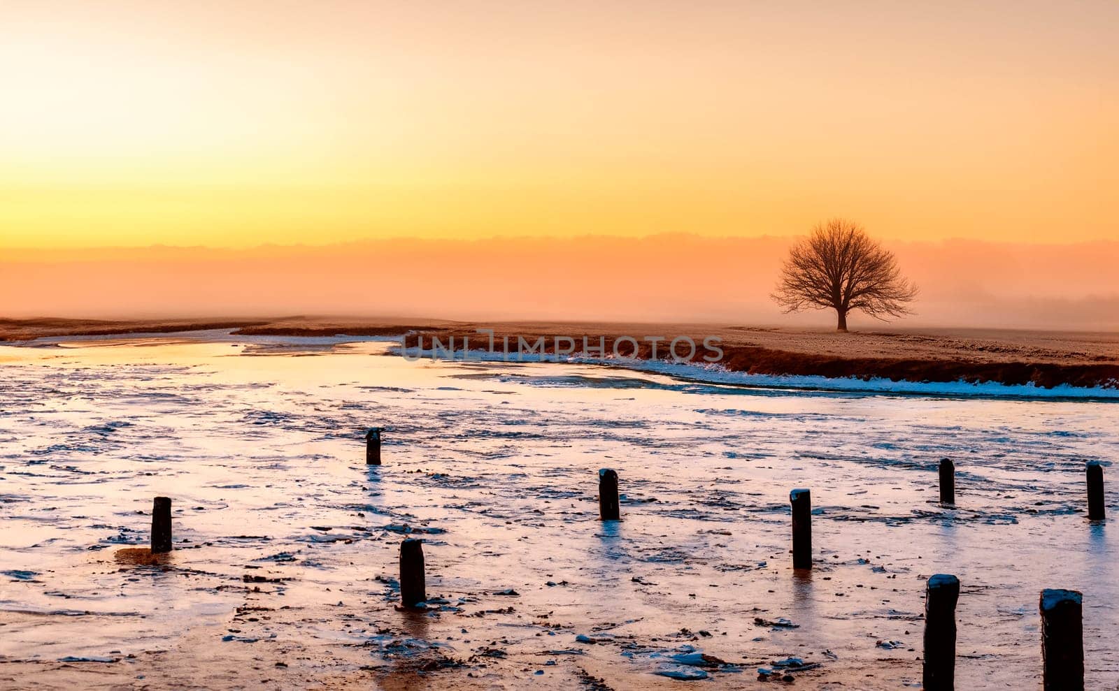
Rural Winter Landscape
Stock PhotoUsername
SteveAllenPhotoResolution
4755x2940pxRural Winter Landscape
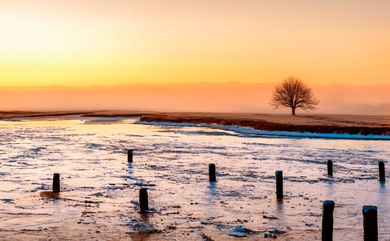

Snow covered rural landscape
Stock PhotoUsername
SteveAllenPhotoResolution
5000x2794pxSnow covered rural landscape

Volcanic Eruption - Volcanic Landscape
Stock PhotoUsername
SteveAllenPhotoResolution
4855x2878pxVolcanic Eruption - Volcanic Landscape


Volcanic Eruption - Volcanic Landscape
Stock PhotoUsername
SteveAllenPhotoResolution
4540x3083pxVolcanic Eruption - Volcanic Landscape


Isle of Skye - Scotland
Stock PhotoUsername
SteveAllenPhotoResolution
4805x2907pxIsle of Skye - Scotland


Pinnacle Rock and the volcanic landscape on the Island of Bartolome in the Galapagos Islands, Ecuador.
Stock PhotoUsername
SteveAllenPhotoResolution
5190x3369pxPinnacle Rock and the volcanic landscape on the Island of Bartolome in the Galapagos Islands, Ecuador.

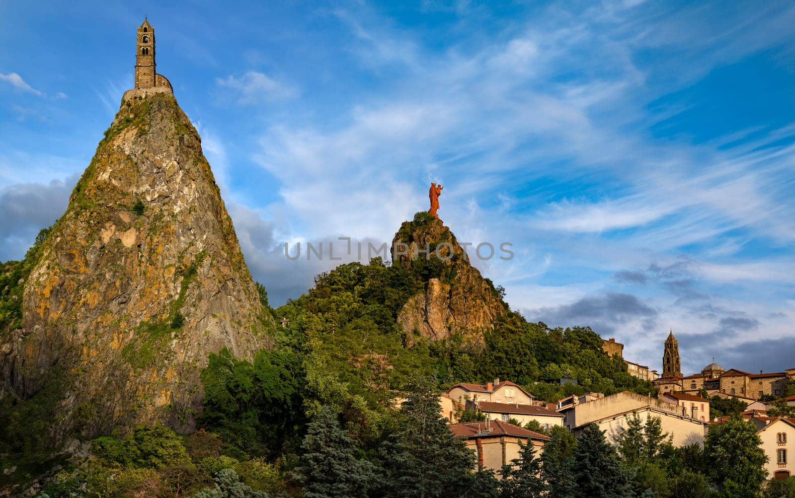
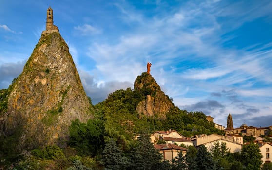
Chapel of St Michel-dAiguilhe and Statue of Notre-Dame de France
Stock PhotoUsername
SteveAllenPhotoResolution
5280x3311pxChapel of St Michel-dAiguilhe and Statue of Notre-Dame de France

Colorful Bouquet of Flowers - Floral Display
Stock PhotoUsername
SteveAllenPhotoResolution
3024x4032pxColorful Bouquet of Flowers - Floral Display


Harvest Time - North Yorkshire - England
Stock PhotoUsername
SteveAllenPhotoResolution
4480x3123pxHarvest Time - North Yorkshire - England


Royal Cathedral in Krakow - Poland
Stock PhotoUsername
SteveAllenPhotoResolution
3413x5120pxRoyal Cathedral in Krakow - Poland


Star Trails - Royal Cathedral - Krakow - Poland
Stock PhotoUsername
SteveAllenPhotoResolution
3740x3740pxStar Trails - Royal Cathedral - Krakow - Poland


Royal Cathedral in Krakow - Poland
Stock PhotoUsername
SteveAllenPhotoResolution
5120x3413pxRoyal Cathedral in Krakow - Poland


Krakow Market Square - Poland
Stock PhotoUsername
SteveAllenPhotoResolution
3965x2643pxKrakow Market Square - Poland


Royal Cathedral in Krakow - Poland
Stock PhotoUsername
SteveAllenPhotoResolution
5120x3413pxRoyal Cathedral in Krakow - Poland


Cloth Hall in Krakow - Poland
Stock PhotoUsername
SteveAllenPhotoResolution
3413x5120pxCloth Hall in Krakow - Poland


The Cloth Hall in Cracow in Poland
Editorial LicenseUsername
SteveAllenPhotoResolution
3413x5120pxThe Cloth Hall in Cracow in Poland


Royal Cathedral in Krakow - Poland
Stock PhotoUsername
SteveAllenPhotoResolution
3413x5120pxRoyal Cathedral in Krakow - Poland


The Cloth Hall and Town Hall Tower in Krakow - Poland
Editorial LicenseUsername
SteveAllenPhotoResolution
3413x5120pxThe Cloth Hall and Town Hall Tower in Krakow - Poland


Krakow - St Adalbert Church - Grodzka - Poland
Editorial LicenseUsername
SteveAllenPhotoResolution
5120x3413pxKrakow - St Adalbert Church - Grodzka - Poland


Krakow - St Adalbert Church - Grodzka - Poland
Editorial LicenseUsername
SteveAllenPhotoResolution
5120x3413pxKrakow - St Adalbert Church - Grodzka - Poland


Krakow - Church of St Mary - Poland
Editorial LicenseUsername
SteveAllenPhotoResolution
3413x5120pxKrakow - Church of St Mary - Poland


Church of St Mary in Krakow - Poland
Editorial LicenseUsername
SteveAllenPhotoResolution
3413x5120pxChurch of St Mary in Krakow - Poland


Cloth Hall in Krakow - Poland
Stock PhotoUsername
SteveAllenPhotoResolution
3413x5120pxCloth Hall in Krakow - Poland


Dominican Church in Krakow - Poland
Editorial LicenseUsername
SteveAllenPhotoResolution
2643x3965pxDominican Church in Krakow - Poland


Krakow - Town Hall Tower - Poland
Editorial LicenseUsername
SteveAllenPhotoResolution
2643x3965pxKrakow - Town Hall Tower - Poland


Church of St Mary in Krakow - Poland
Editorial LicenseUsername
SteveAllenPhotoResolution
2160x3240pxChurch of St Mary in Krakow - Poland


Eros Bound Sculpture in Krakow - Poland
Editorial LicenseUsername
SteveAllenPhotoResolution
2940x3570pxEros Bound Sculpture in Krakow - Poland


Town Hall Tower and Cloth Hall in Cracow in Poland
Stock PhotoUsername
SteveAllenPhotoResolution
3413x5120pxTown Hall Tower and Cloth Hall in Cracow in Poland


Royal Cathedral in Krakow - Poland
Stock PhotoUsername
SteveAllenPhotoResolution
3413x5120pxRoyal Cathedral in Krakow - Poland


Krakow - Church of St Mary - Poland
Stock PhotoUsername
SteveAllenPhotoResolution
3413x5120pxKrakow - Church of St Mary - Poland


St Adalbert's Church in Krakow - Poland
Stock PhotoUsername
SteveAllenPhotoResolution
3413x5120pxSt Adalbert's Church in Krakow - Poland


Main Market Square in Krakow - Poland
Stock PhotoUsername
SteveAllenPhotoResolution
3413x5120pxMain Market Square in Krakow - Poland


The Sights of Krakow in Poland
Stock PhotoUsername
SteveAllenPhotoResolution
6475x2698pxThe Sights of Krakow in Poland


Globe House in Krakow - Poland
Editorial LicenseUsername
SteveAllenPhotoResolution
3413x5120pxGlobe House in Krakow - Poland


Globe House in Krakow - Poland
Stock PhotoUsername
SteveAllenPhotoResolution
3053x4580pxGlobe House in Krakow - Poland


The Royal Castle on Wawel Hill in Krakow - Poland
Stock PhotoUsername
SteveAllenPhotoResolution
4580x3053pxThe Royal Castle on Wawel Hill in Krakow - Poland


Church of St Mary in Krakow - Poland
Editorial LicenseUsername
SteveAllenPhotoResolution
3413x5120pxChurch of St Mary in Krakow - Poland


Krakow - The Deanery - Poland
Stock PhotoUsername
SteveAllenPhotoResolution
3660x4775pxKrakow - The Deanery - Poland


The Royal Castle on Wawel Hill in Krakow - Poland
Stock PhotoUsername
SteveAllenPhotoResolution
5120x3413pxThe Royal Castle on Wawel Hill in Krakow - Poland


Sandomierz, Tower in Krakow - Poland
Stock PhotoUsername
SteveAllenPhotoResolution
3053x4580pxSandomierz, Tower in Krakow - Poland


The Royal Castle on Wawel Hill in Krakow - Poland
Stock PhotoUsername
SteveAllenPhotoResolution
5120x3413pxThe Royal Castle on Wawel Hill in Krakow - Poland


Royal Castle on Wawel Hill - Krakow in Poland
Stock PhotoUsername
SteveAllenPhotoResolution
4580x3053pxRoyal Castle on Wawel Hill - Krakow in Poland


Winter walk in the Planty in Krakow - Poland
Editorial LicenseUsername
SteveAllenPhotoResolution
3413x5120pxWinter walk in the Planty in Krakow - Poland


Wawal Castle in Krakow - Poland
Stock PhotoUsername
SteveAllenPhotoResolution
5120x3413pxWawal Castle in Krakow - Poland


Sandomierz, Tower in Krakow - Poland
Stock PhotoUsername
SteveAllenPhotoResolution
5120x3413pxSandomierz, Tower in Krakow - Poland


Royal Castle on Wawel Hill - Krakow in Poland
Stock PhotoUsername
SteveAllenPhotoResolution
5120x3413pxRoyal Castle on Wawel Hill - Krakow in Poland


The Royal Castle on Wawel Hill in Krakow - Poland
Stock PhotoUsername
SteveAllenPhotoResolution
3413x5120pxThe Royal Castle on Wawel Hill in Krakow - Poland


Portcullis - Wawal Castle - Krakow - Poland
Editorial LicenseUsername
SteveAllenPhotoResolution
3413x5120pxPortcullis - Wawal Castle - Krakow - Poland


The Royal Castle on Wawel Hill in Krakow - Poland
Stock PhotoUsername
SteveAllenPhotoResolution
3413x5120pxThe Royal Castle on Wawel Hill in Krakow - Poland


Royal Castle on Wawel Hill in Krakow - Poland
Stock PhotoUsername
SteveAllenPhotoResolution
3413x5120pxRoyal Castle on Wawel Hill in Krakow - Poland
