- Filter By:
-
-
Stock photos and images of username:dpreezg
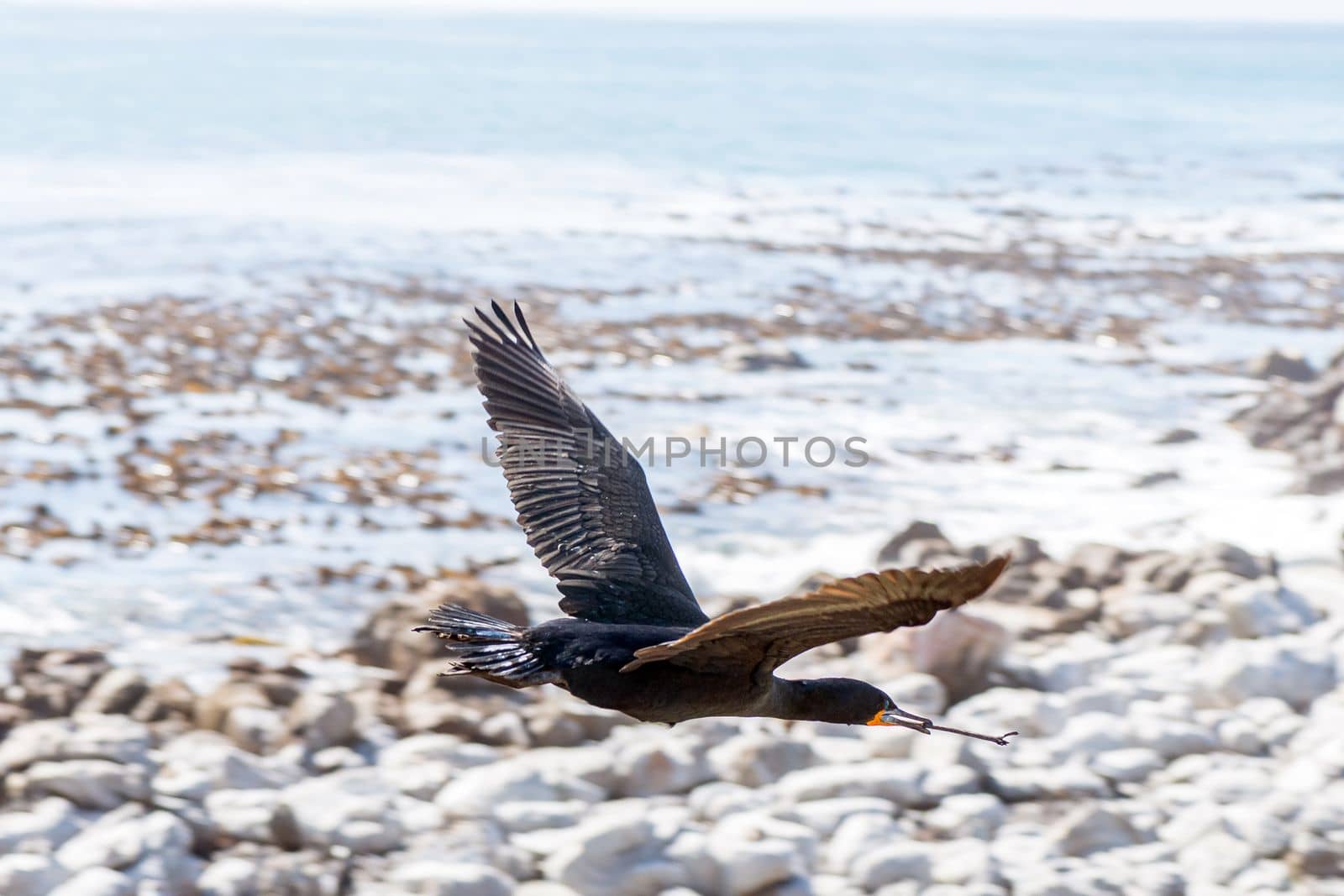
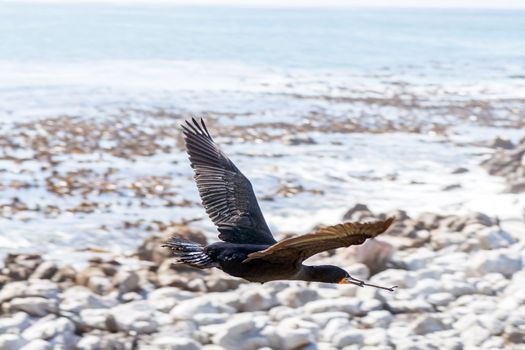
Cape Cormorant flying with nesting material in its beak
Stock PhotoUsername
dpreezgResolution
3000x2000pxCape Cormorant flying with nesting material in its beak

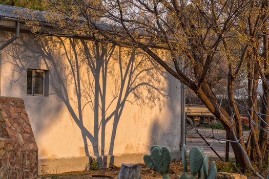
Shadows of tree on a wall at sunset
Stock PhotoUsername
dpreezgResolution
3000x2000pxShadows of tree on a wall at sunset
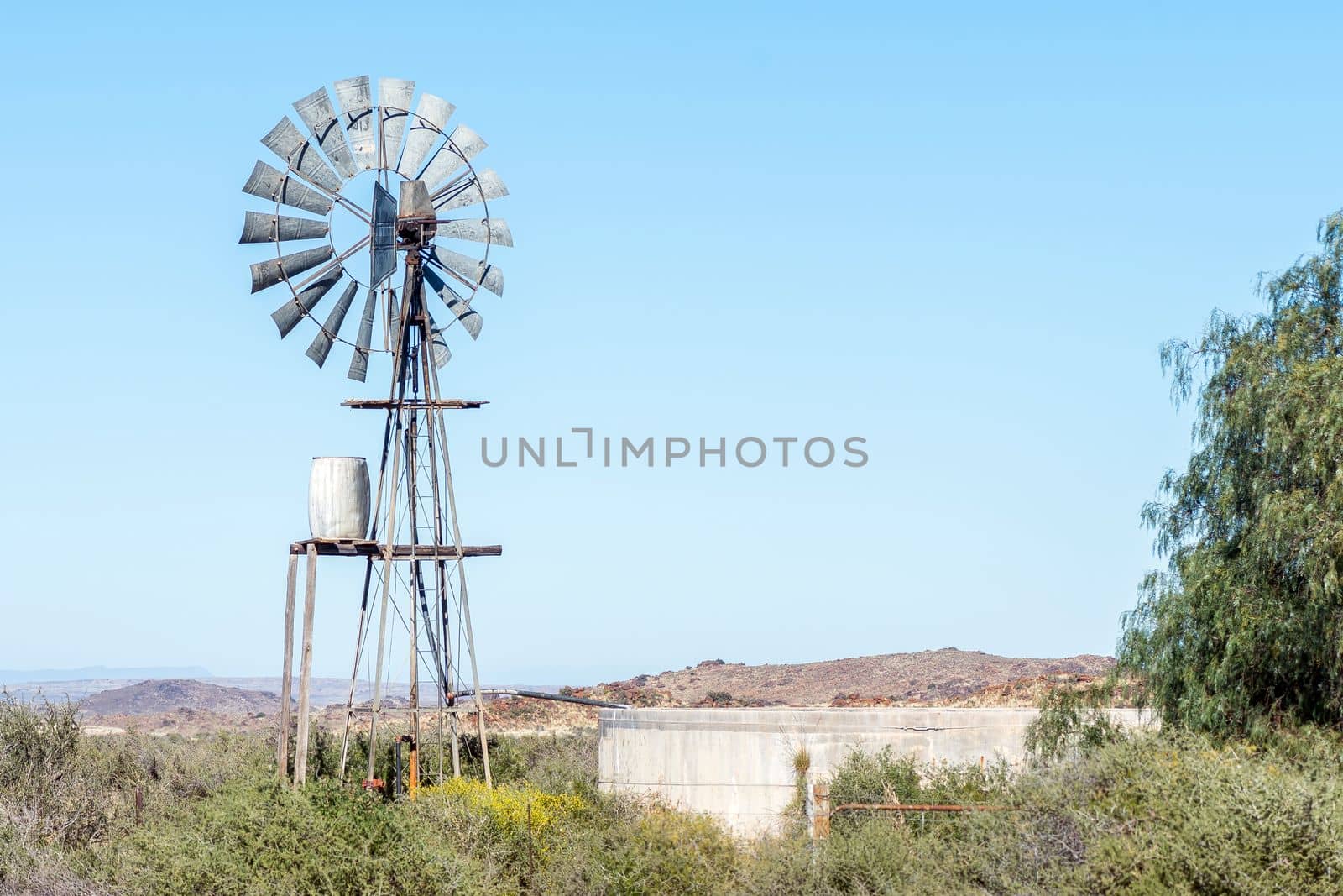
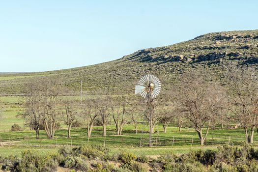
Typical Karoo landscape with a windmill, water tank and dam
Stock PhotoUsername
dpreezgResolution
3600x2400pxTypical Karoo landscape with a windmill, water tank and dam

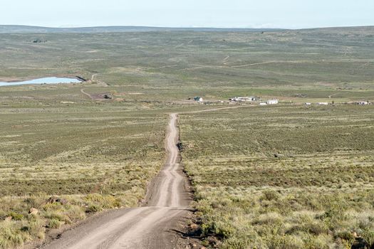
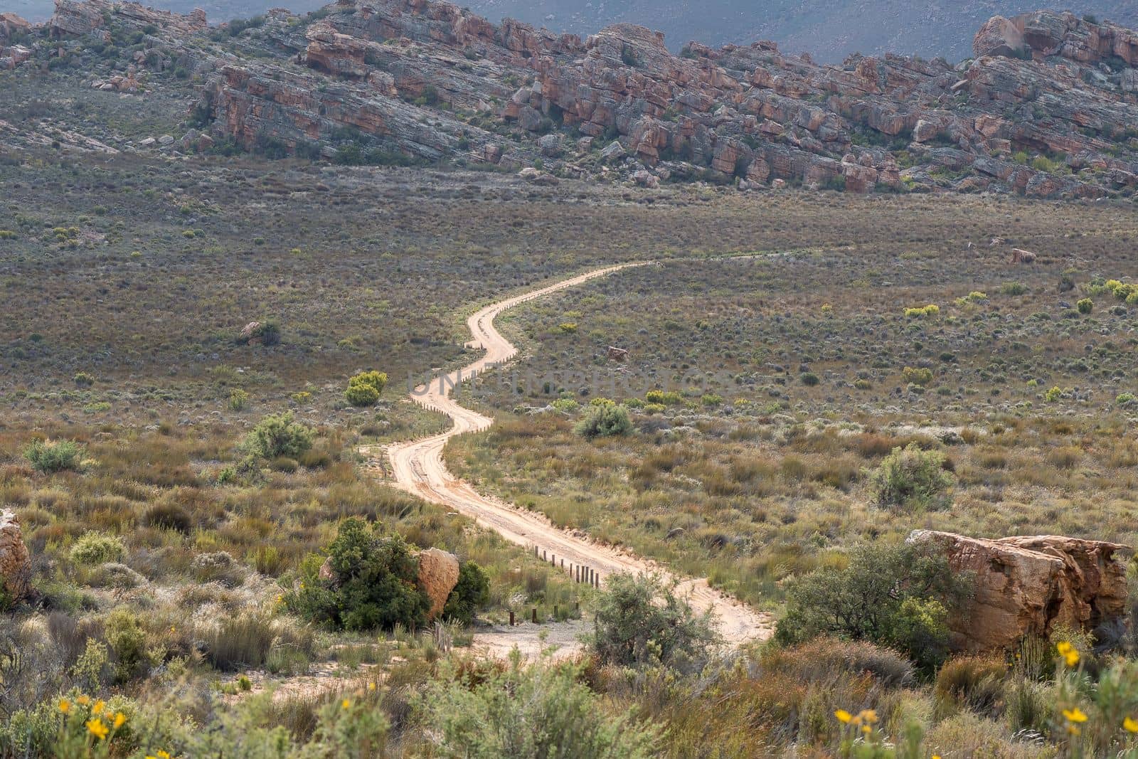
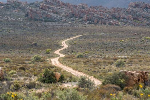
Road landscape near Driefontein farm
Stock PhotoUsername
dpreezgResolution
3150x2100pxRoad landscape near Driefontein farm

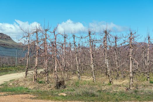
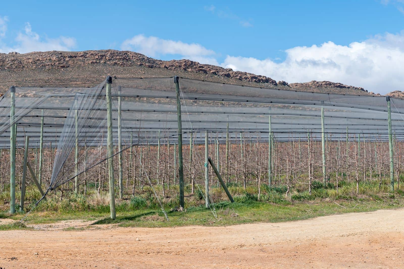
Fruit trees, using the espalier system, on the Katbakkies road
Stock PhotoUsername
dpreezgResolution
3595x2400pxFruit trees, using the espalier system, on the Katbakkies road
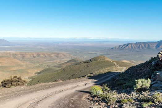
View from the Katbakkies Pass in the Western Cape Cederberg
Stock PhotoUsername
dpreezgResolution
3595x2400pxView from the Katbakkies Pass in the Western Cape Cederberg
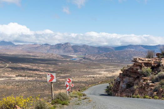
View of the Ouberg Pass near Sutherland
Stock PhotoUsername
dpreezgResolution
3595x2400pxView of the Ouberg Pass near Sutherland
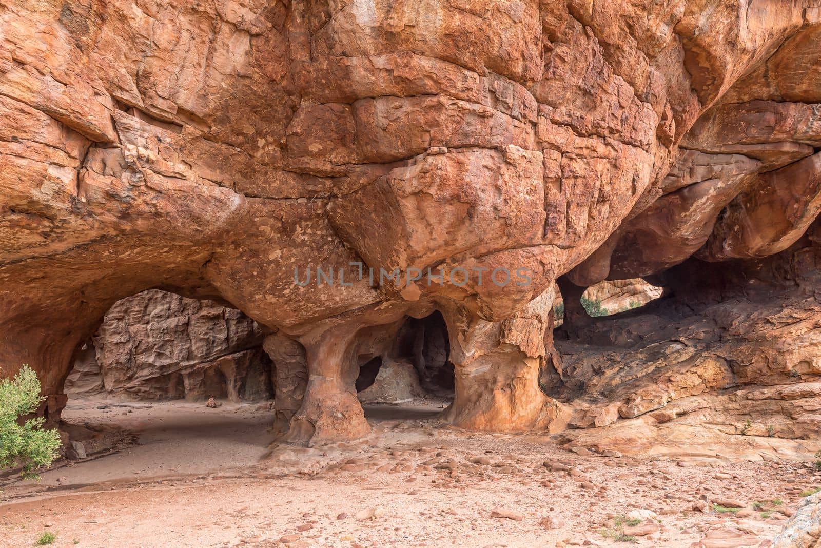
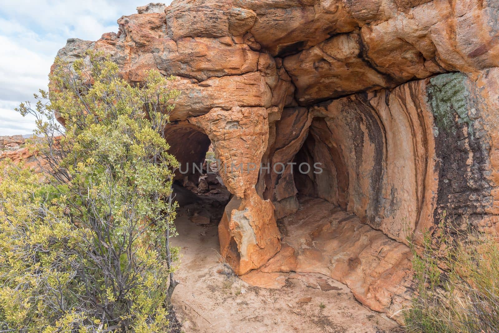
Scenery at the main at the Stadsaal Cave
Stock PhotoUsername
dpreezgResolution
3595x2400pxScenery at the main at the Stadsaal Cave
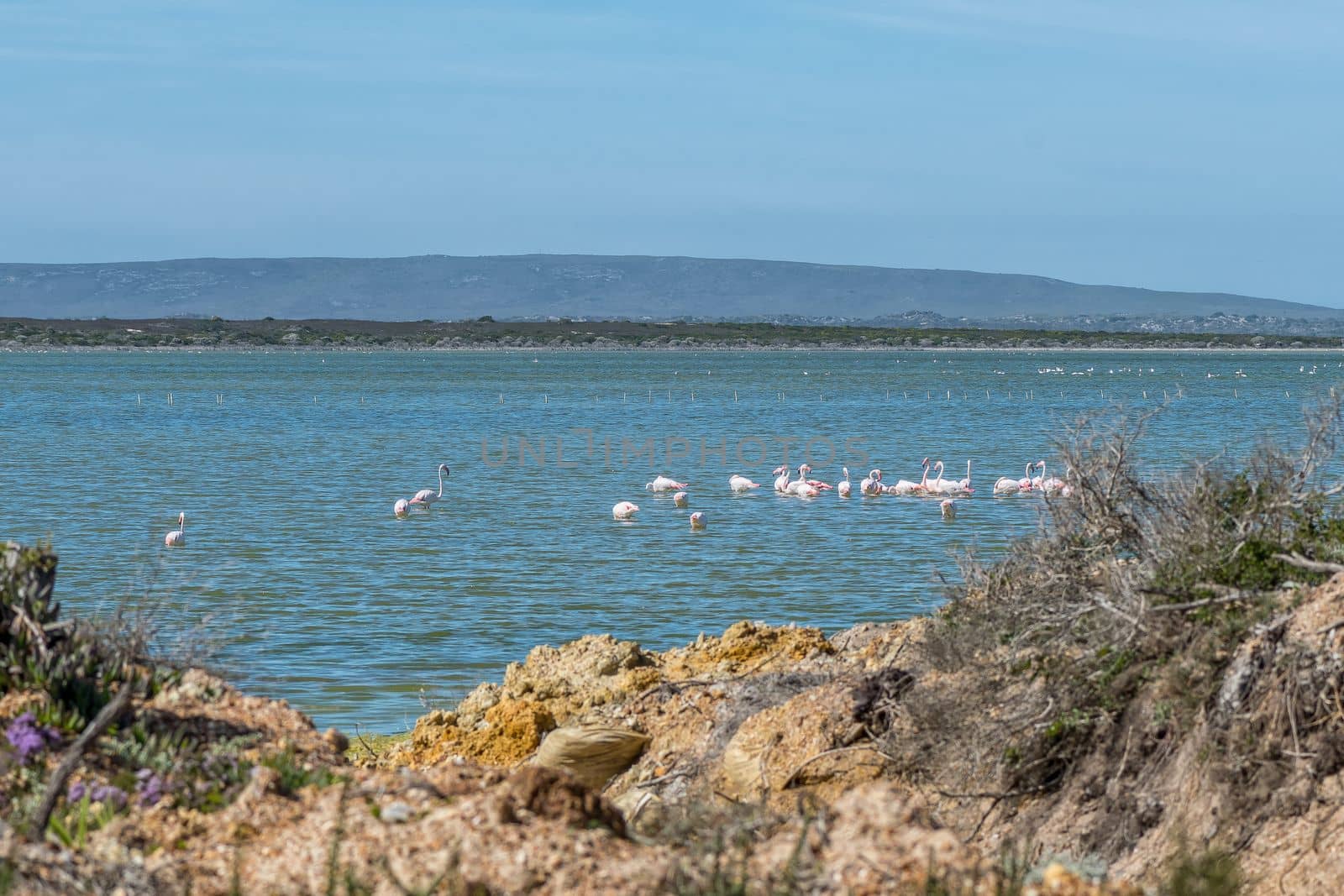
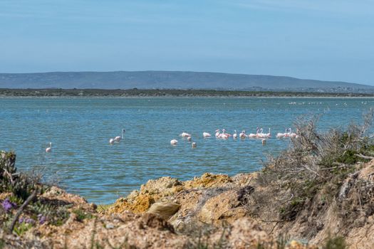
Greater flamingoes on Springfield saltpans in Agulhas National Park
Stock PhotoUsername
dpreezgResolution
3600x2400pxGreater flamingoes on Springfield saltpans in Agulhas National Park
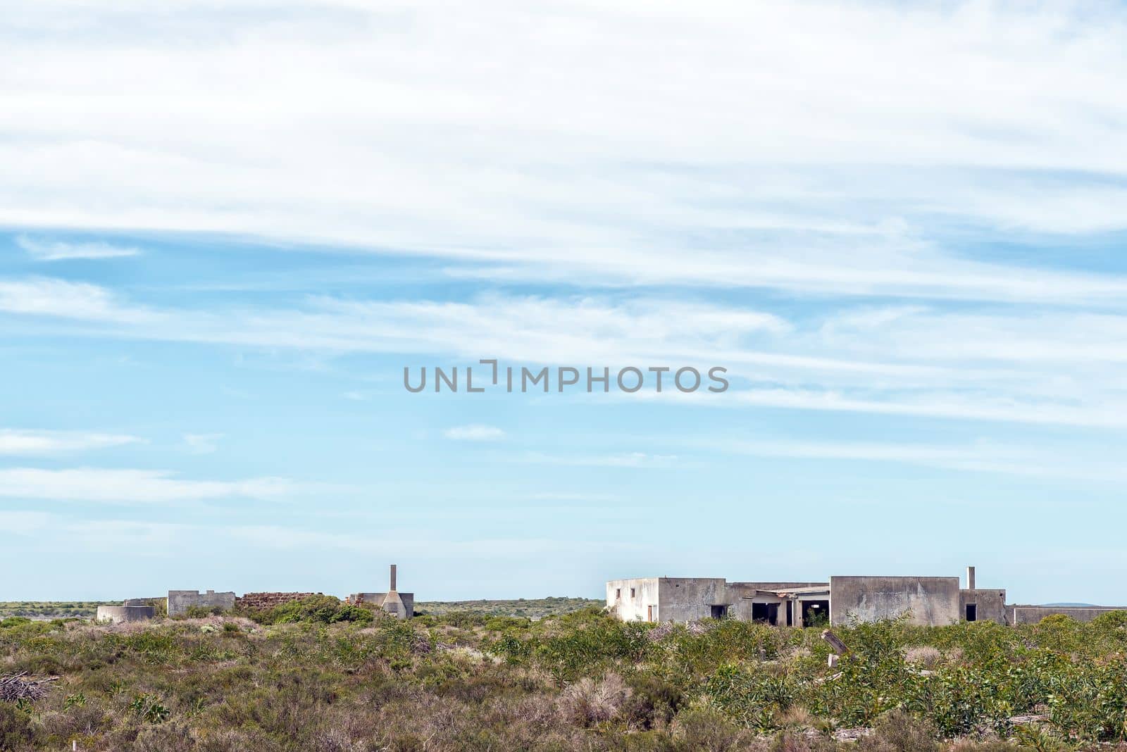
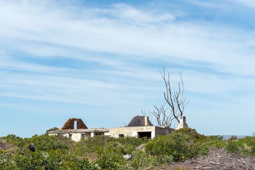
Ruins in the Agulhas National Park
Stock PhotoUsername
dpreezgResolution
3595x2400pxRuins in the Agulhas National Park
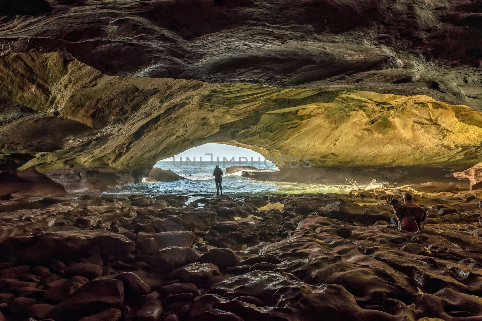
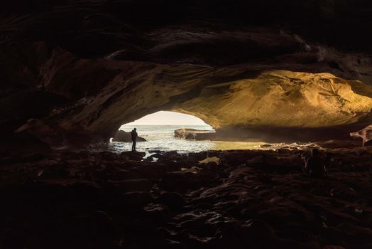
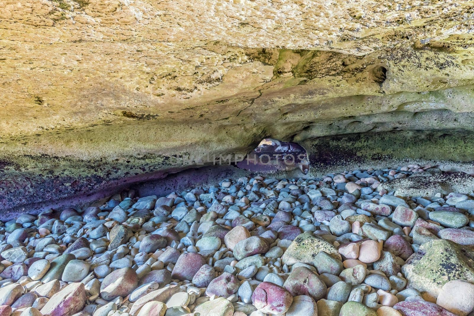
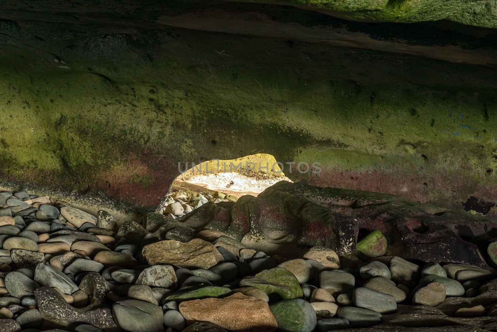
Inside the Waenhuiskrans Cave near Arniston
Stock PhotoUsername
dpreezgResolution
3595x2400pxInside the Waenhuiskrans Cave near Arniston

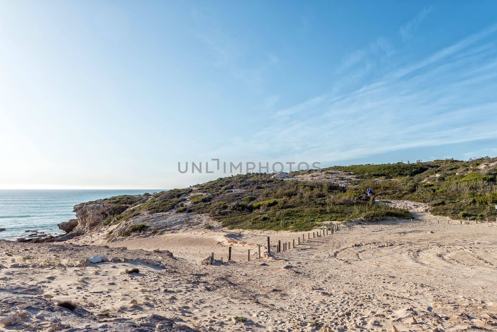
Trail to back entrance of the Waenhuiskrans Cave near Arniston
Stock PhotoUsername
dpreezgResolution
3595x2400pxTrail to back entrance of the Waenhuiskrans Cave near Arniston
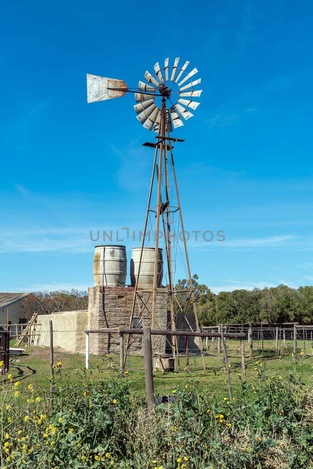
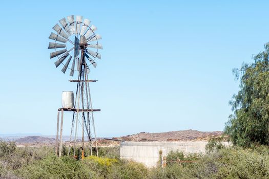
Windmill, water tanks and dam at Prinskraal
Stock PhotoUsername
dpreezgResolution
2400x3595pxWindmill, water tanks and dam at Prinskraal

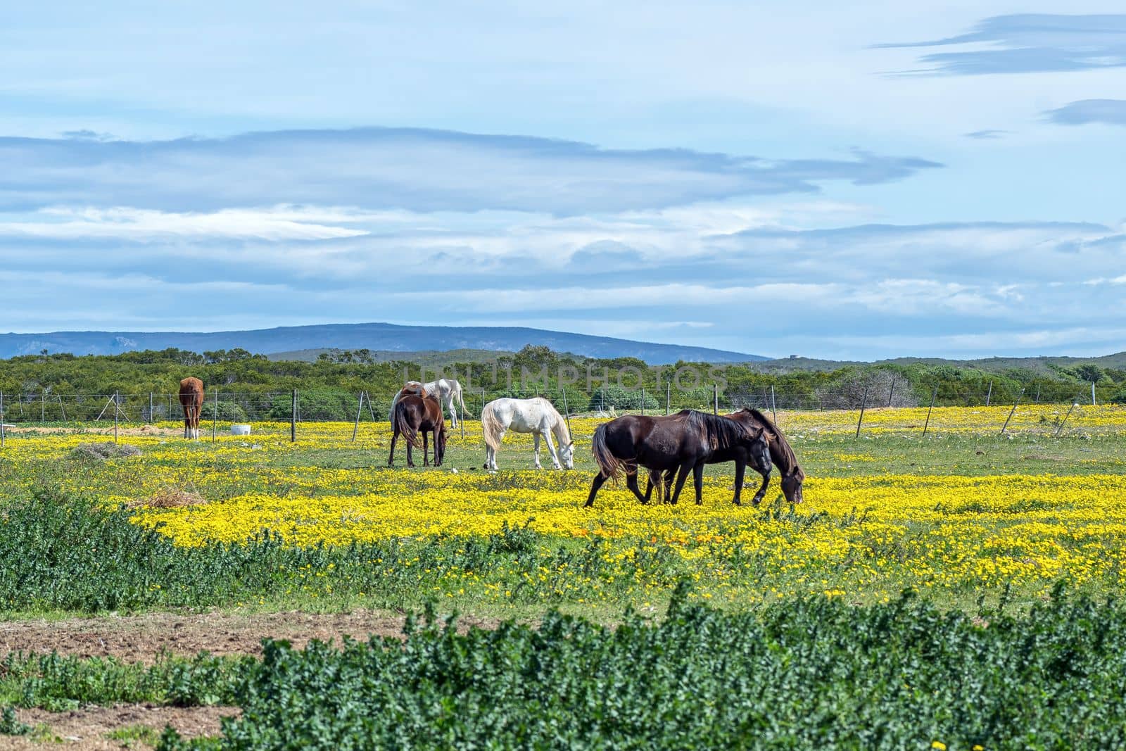
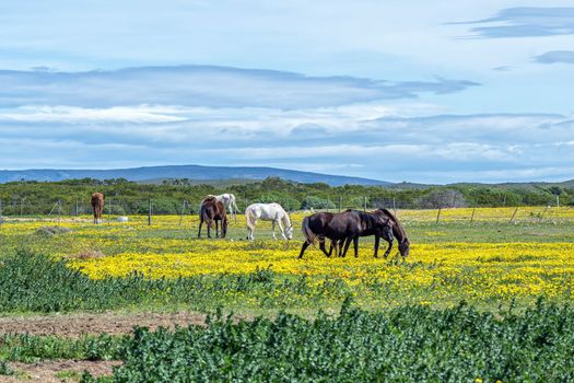
Horses grazing between wild flowers in Struisbaai
Stock PhotoUsername
dpreezgResolution
3600x2400pxHorses grazing between wild flowers in Struisbaai

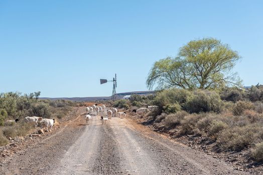
Sheep blocking the historic Postal Route between Fraserburg and Sutherland
Stock PhotoUsername
dpreezgResolution
3595x2400pxSheep blocking the historic Postal Route between Fraserburg and Sutherland
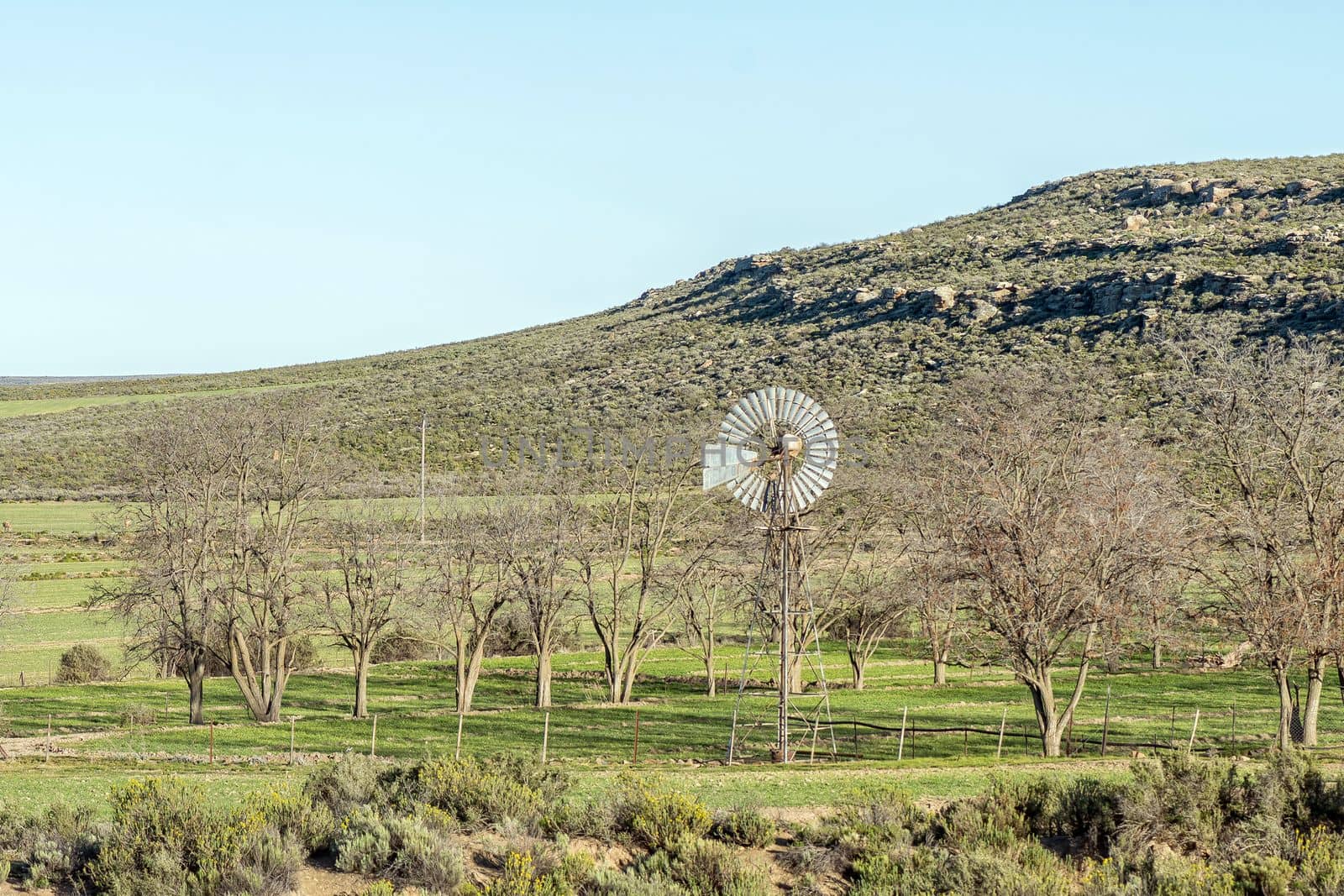
Windmill and leafless trees, at Vredehoek farm
Stock PhotoUsername
dpreezgResolution
3000x2000pxWindmill and leafless trees, at Vredehoek farm
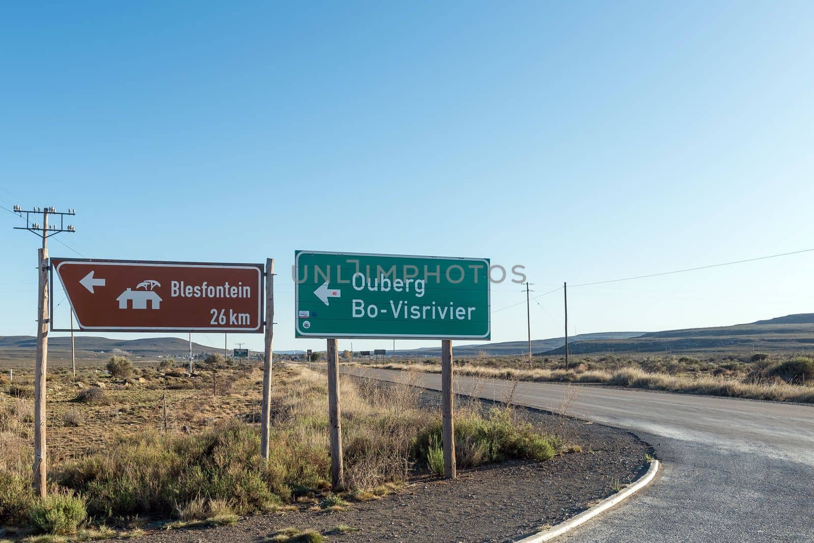
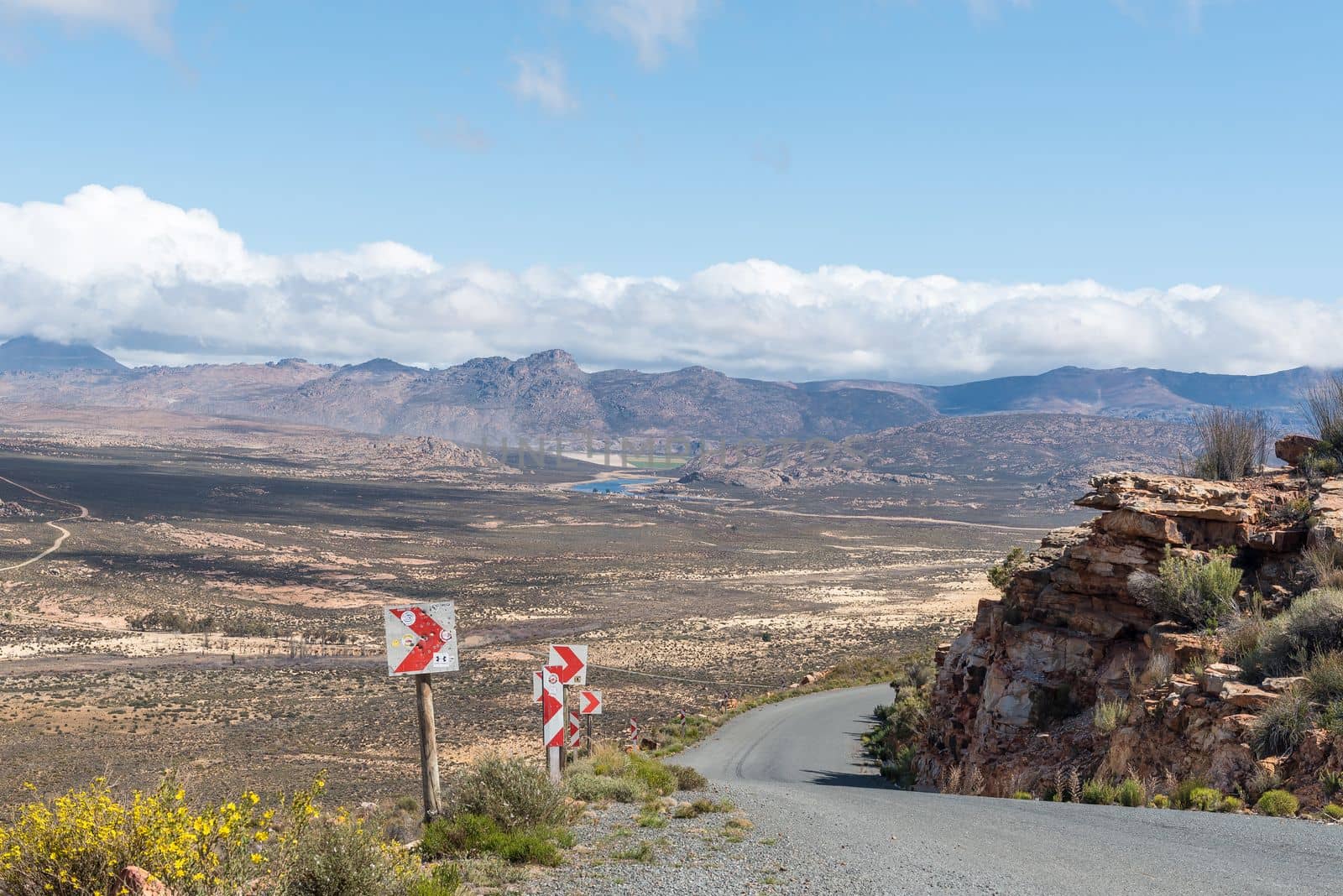
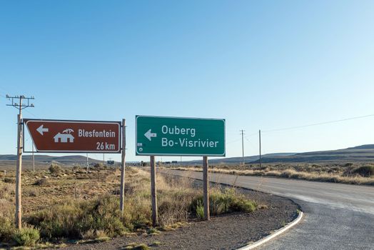
Directional signs at turn off from R354 to Ouberg Pass
Stock PhotoUsername
dpreezgResolution
3595x2400pxDirectional signs at turn off from R354 to Ouberg Pass
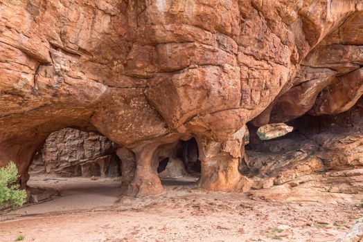
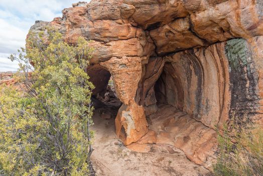
Walking trail passing through a cave at the Stadsaal Caves
Stock PhotoUsername
dpreezgResolution
3595x2400pxWalking trail passing through a cave at the Stadsaal Caves

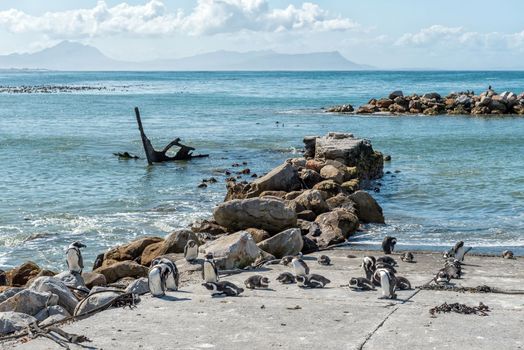
African Penguins at Stony Point Nature Reserve in Bettys Bay
Stock PhotoUsername
dpreezgResolution
3595x2400pxAfrican Penguins at Stony Point Nature Reserve in Bettys Bay
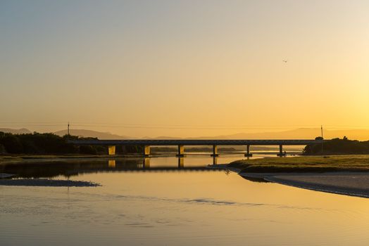
Dawn view of the lagoon at Uilenkraalsmond at Franskraalstrand
Stock PhotoUsername
dpreezgResolution
3595x2400pxDawn view of the lagoon at Uilenkraalsmond at Franskraalstrand
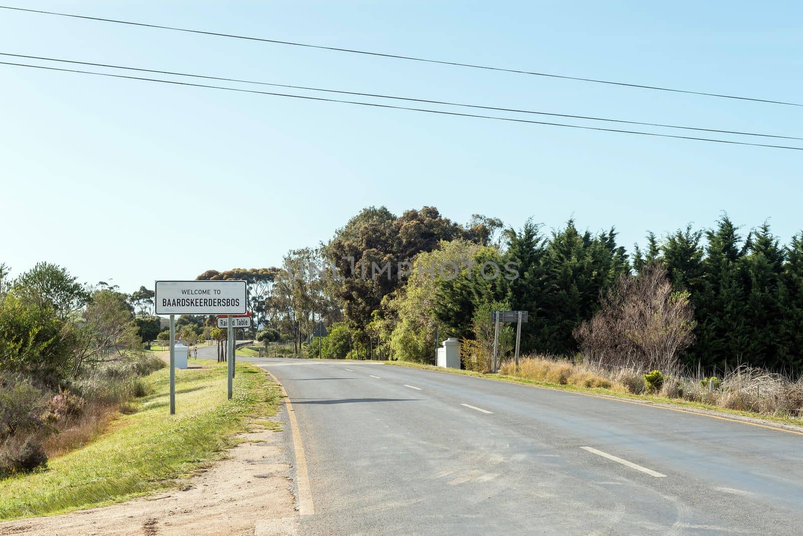
Name board at the entrance to Baarskeerdersbos
Stock PhotoUsername
dpreezgResolution
3595x2400pxName board at the entrance to Baarskeerdersbos

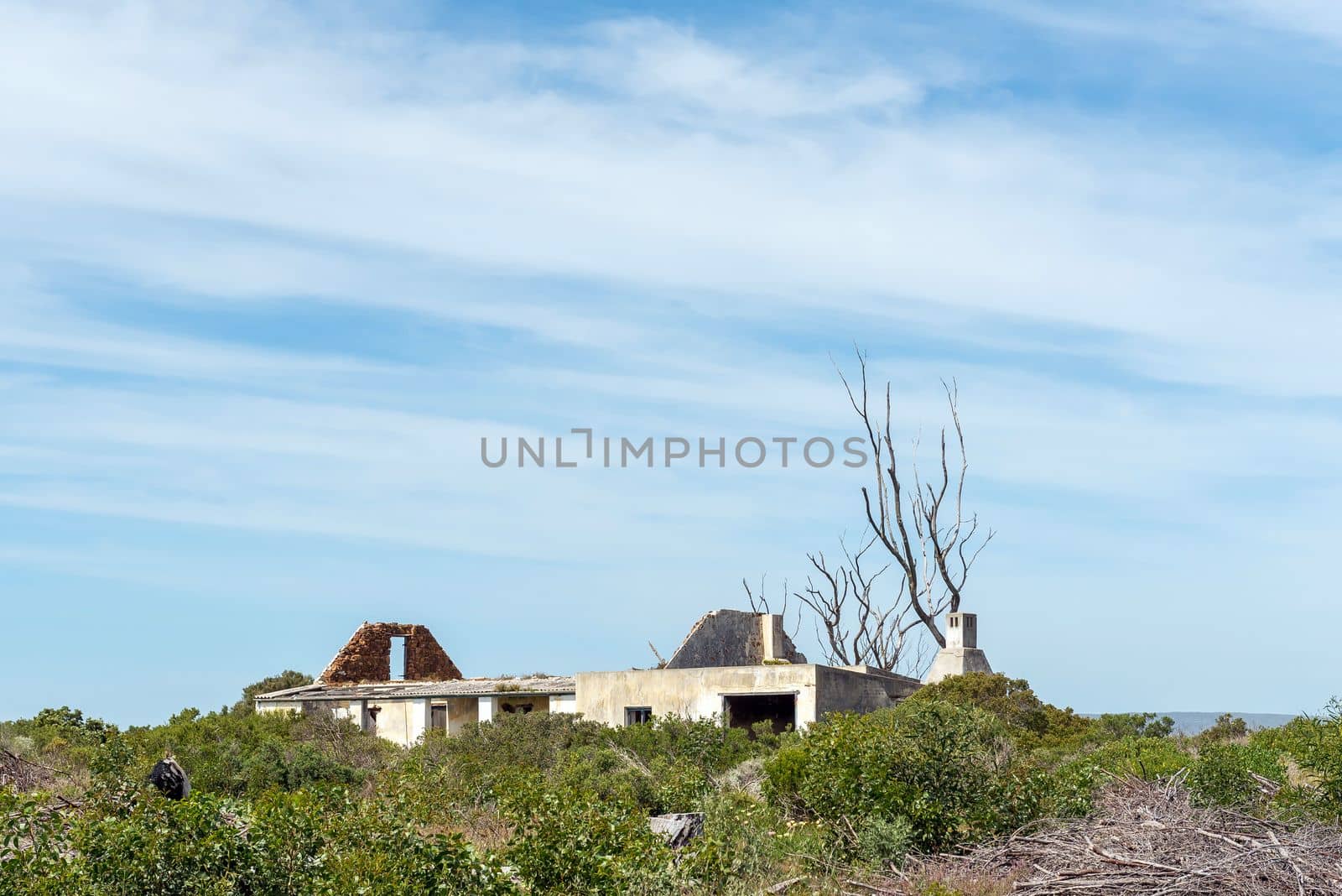
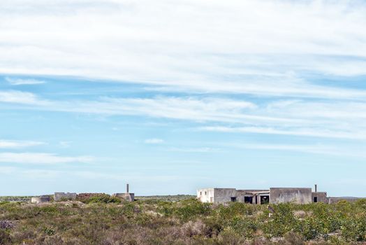
A ruin in the Agulhas National Park
Stock PhotoUsername
dpreezgResolution
3595x2400pxA ruin in the Agulhas National Park
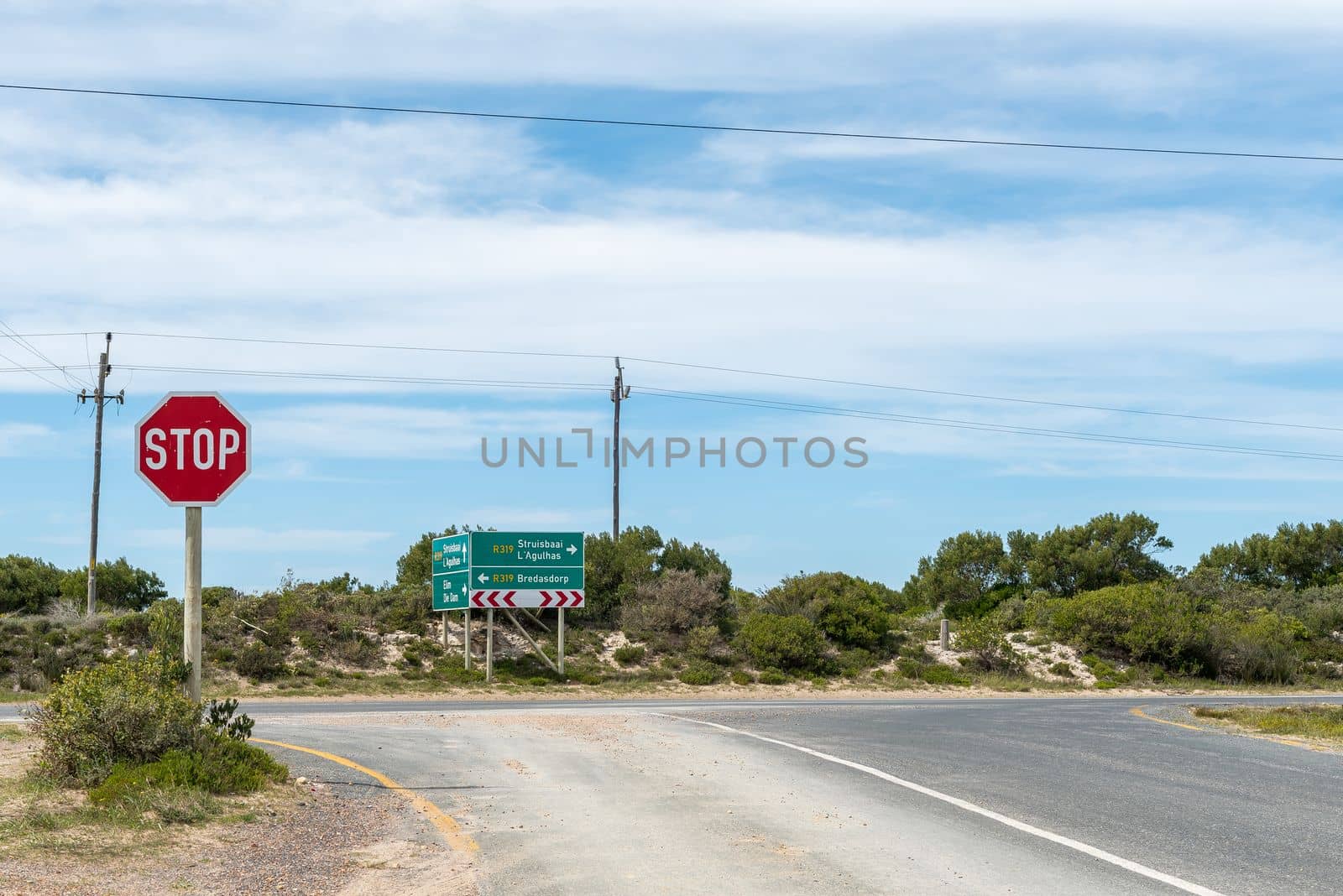
Junction of the Elim road and Bredasdorp to Struisbaai road
Stock PhotoUsername
dpreezgResolution
3595x2400pxJunction of the Elim road and Bredasdorp to Struisbaai road


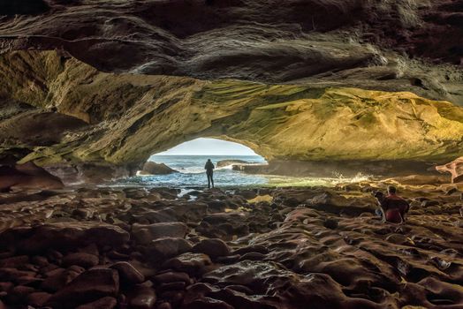
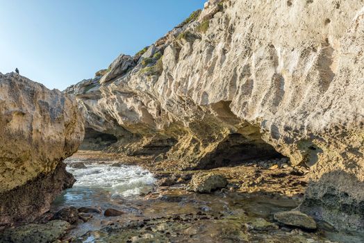
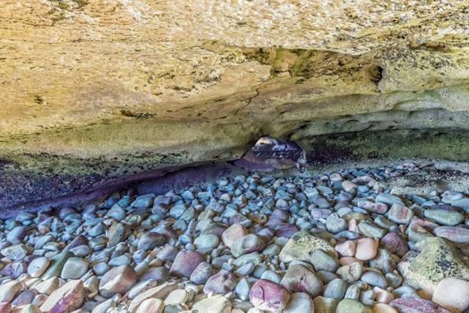
Inside the Waenhuiskrans Cave near Arniston
Stock PhotoUsername
dpreezgResolution
3595x2400pxInside the Waenhuiskrans Cave near Arniston
Trail to back entrance of the Waenhuiskrans Cave near Arniston
Stock PhotoUsername
dpreezgResolution
3595x2400pxTrail to back entrance of the Waenhuiskrans Cave near Arniston
People on the tral to the Waenhuiskrans Cave
Stock PhotoUsername
dpreezgResolution
3595x2400pxPeople on the tral to the Waenhuiskrans Cave

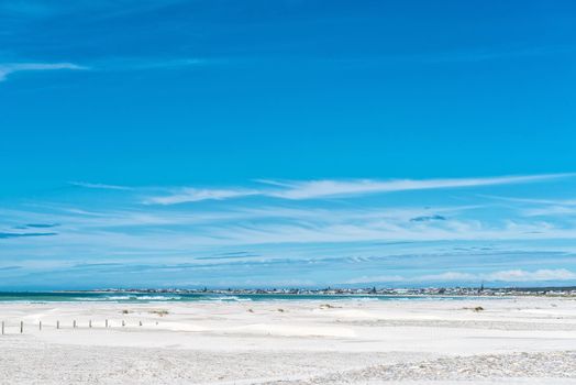
Struisbaai is visible from the Plaat
Stock PhotoUsername
dpreezgResolution
3596x2400pxStruisbaai is visible from the Plaat
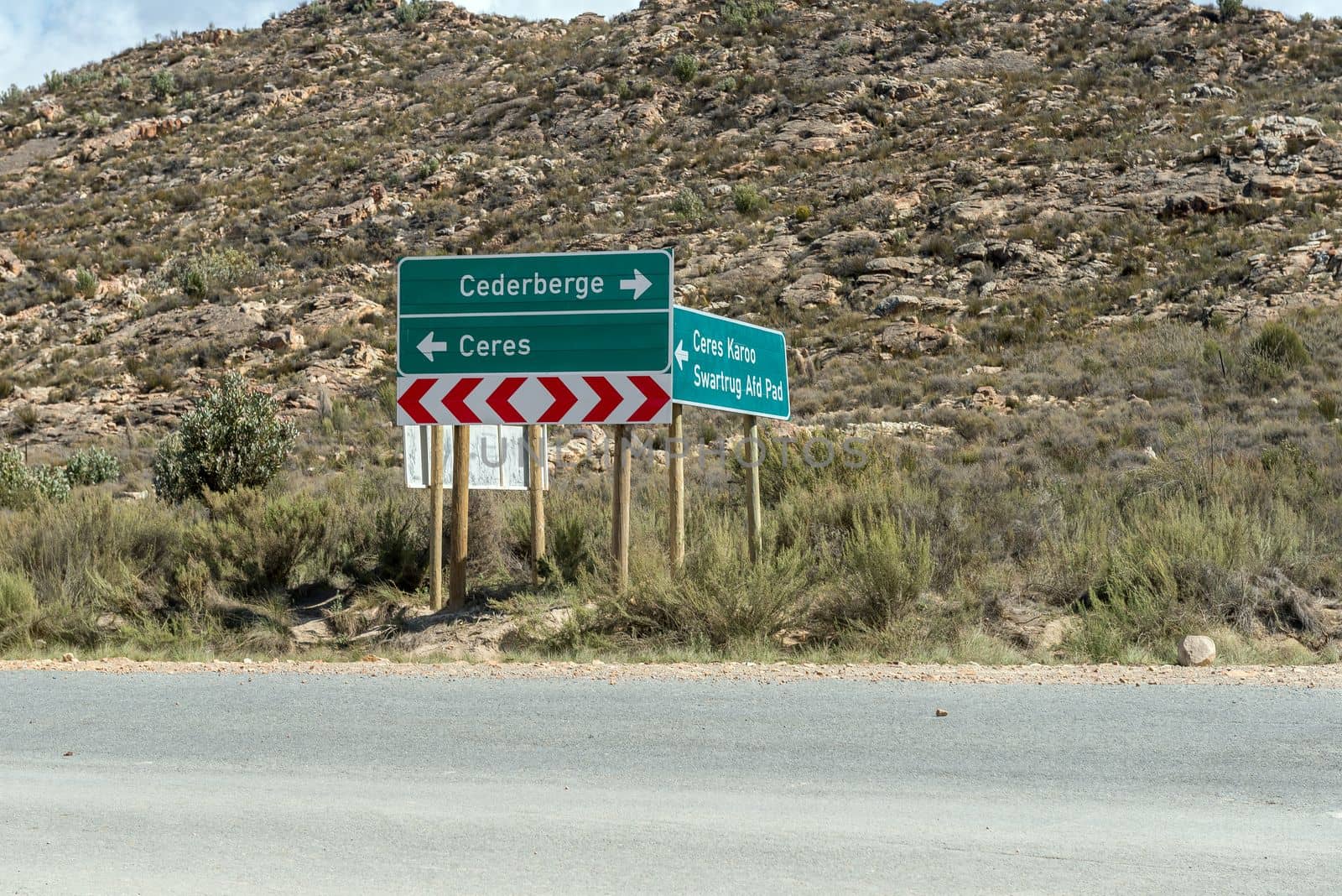
Junction between Katbakkies road and Ceres to Matjiesrivier road
Stock PhotoUsername
dpreezgResolution
3595x2400pxJunction between Katbakkies road and Ceres to Matjiesrivier road

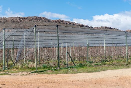
Fruit trees, using the espalier system, on the Katbakkies road
Stock PhotoUsername
dpreezgResolution
3595x2400pxFruit trees, using the espalier system, on the Katbakkies road

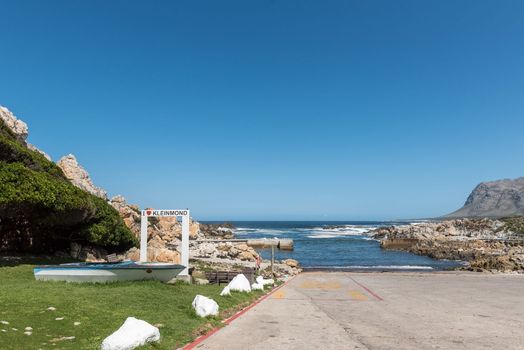
Harbour at Kleinmond in the Western Cape Province Overberg Region
Stock PhotoUsername
dpreezgResolution
3595x2400pxHarbour at Kleinmond in the Western Cape Province Overberg Region
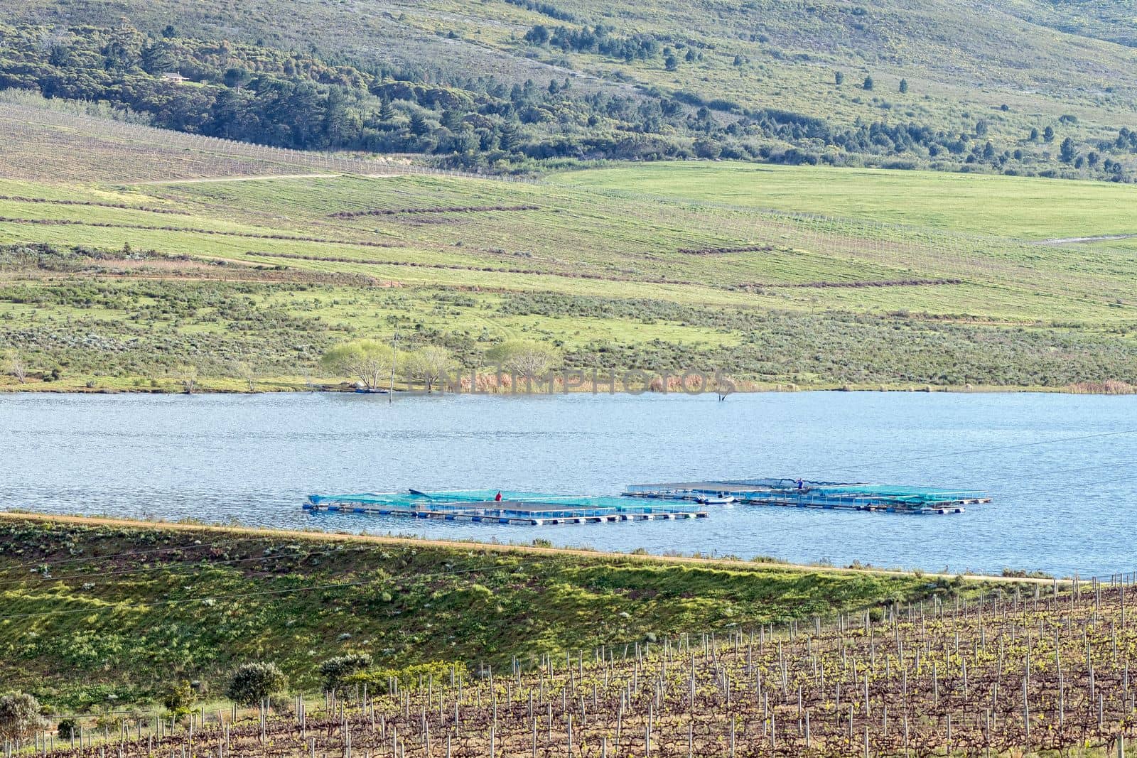
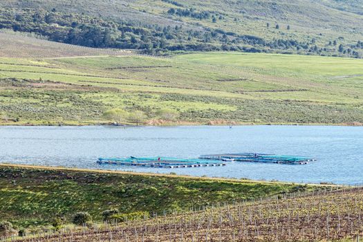
Lomond Dam, with a trout farm visible
Stock PhotoUsername
dpreezgResolution
3600x2400pxLomond Dam, with a trout farm visible
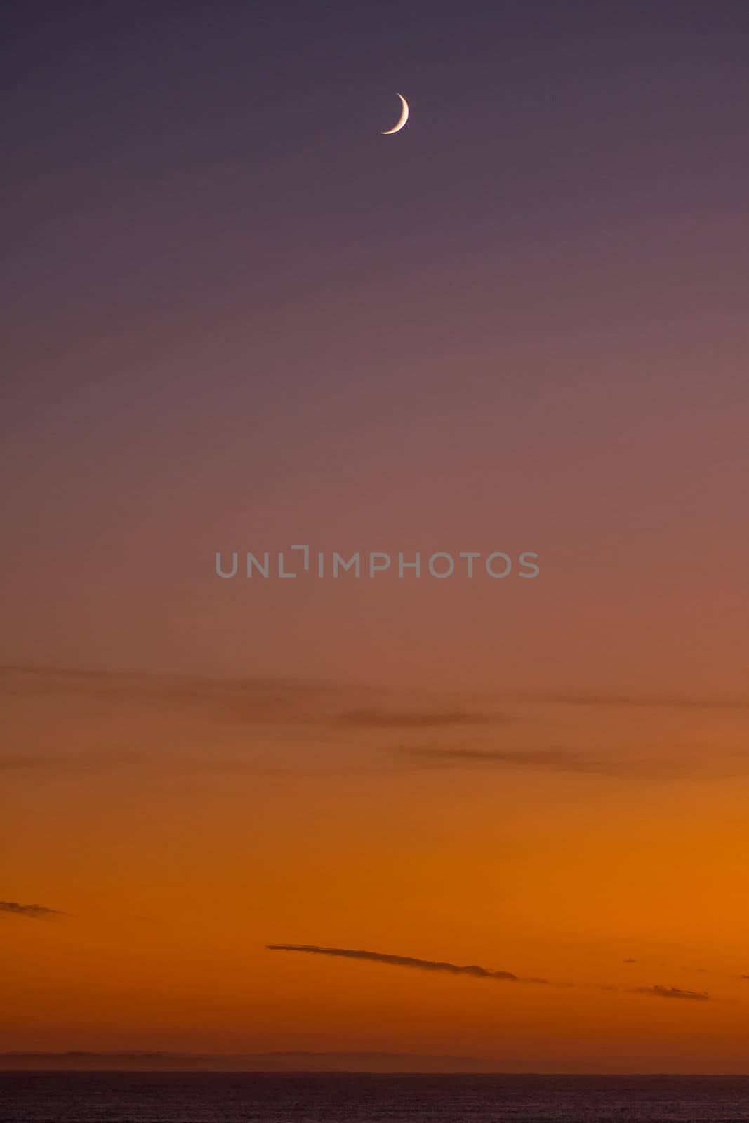
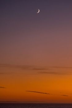
Sunrise over the Indian Ocean at Struisbaai with moon visible
Stock PhotoUsername
dpreezgResolution
2000x3000pxSunrise over the Indian Ocean at Struisbaai with moon visible
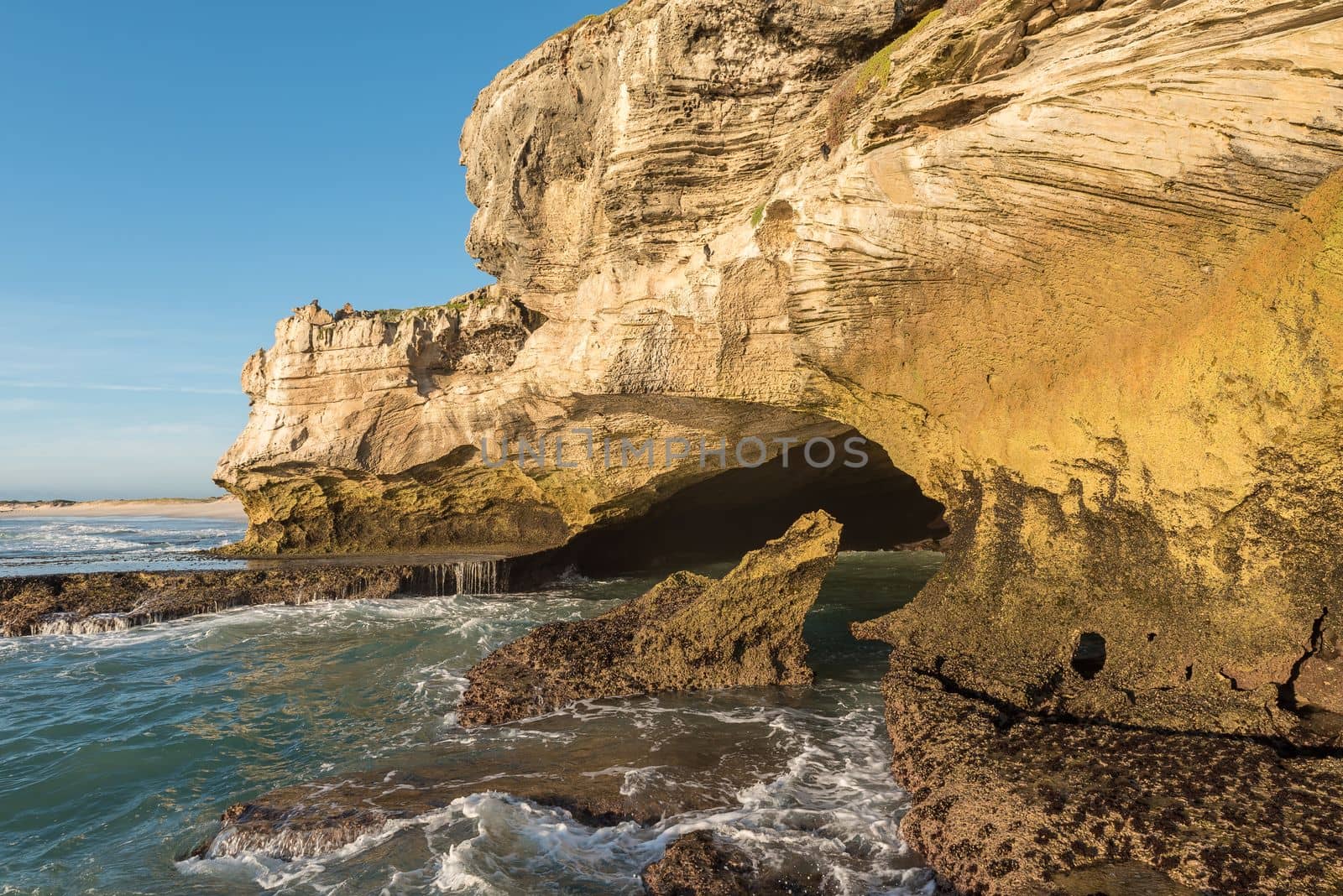
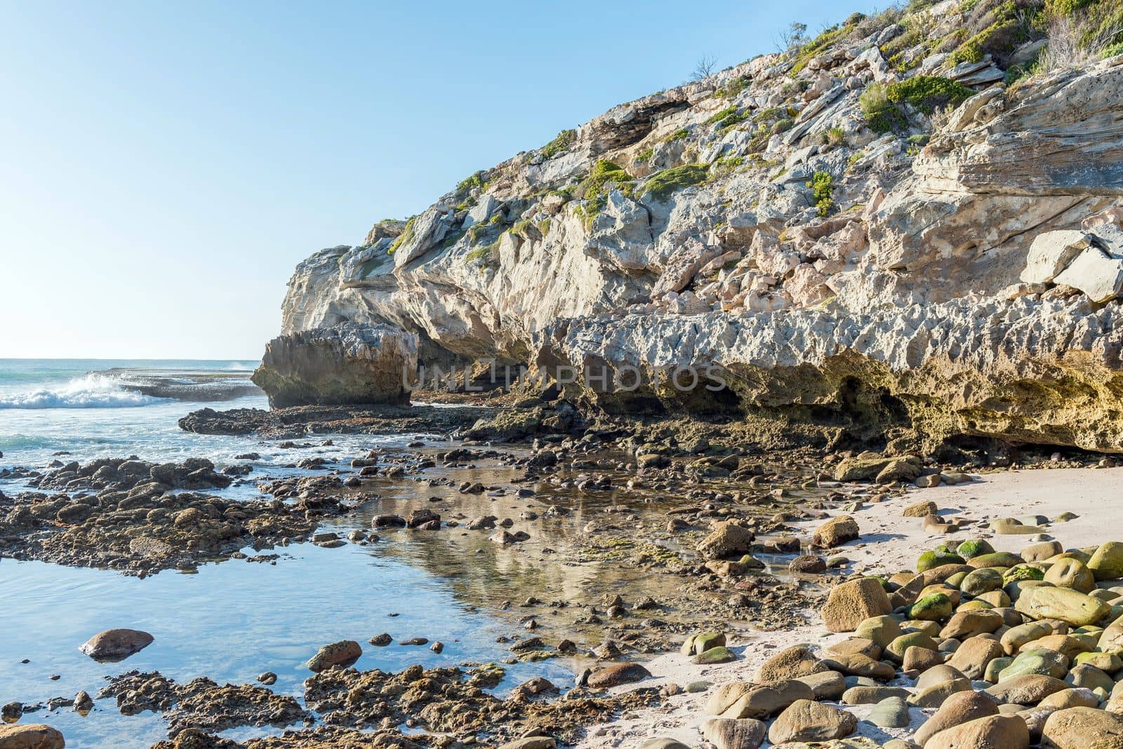
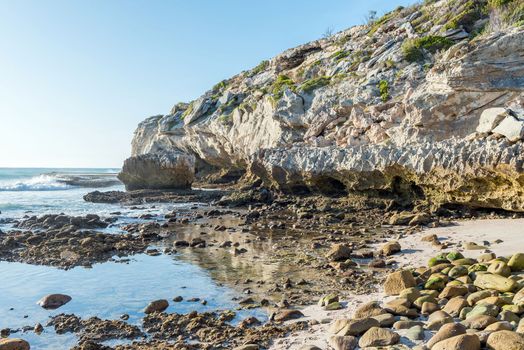
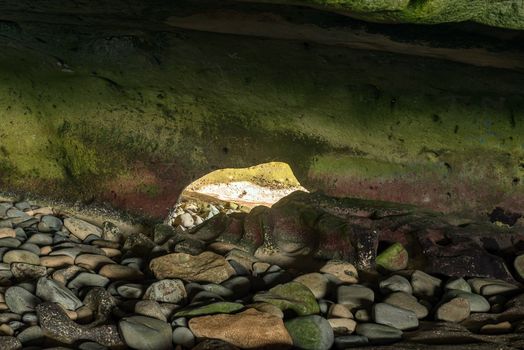
Ocean-side mouth of the Waenhuiskrans Cave near Arniston
Stock PhotoUsername
dpreezgResolution
3595x2400pxOcean-side mouth of the Waenhuiskrans Cave near Arniston

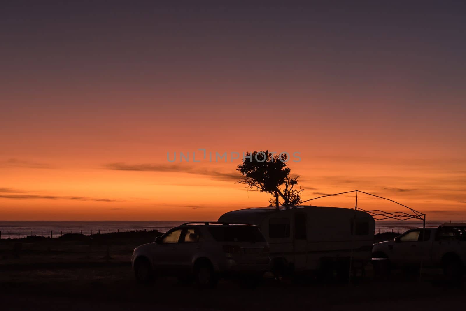
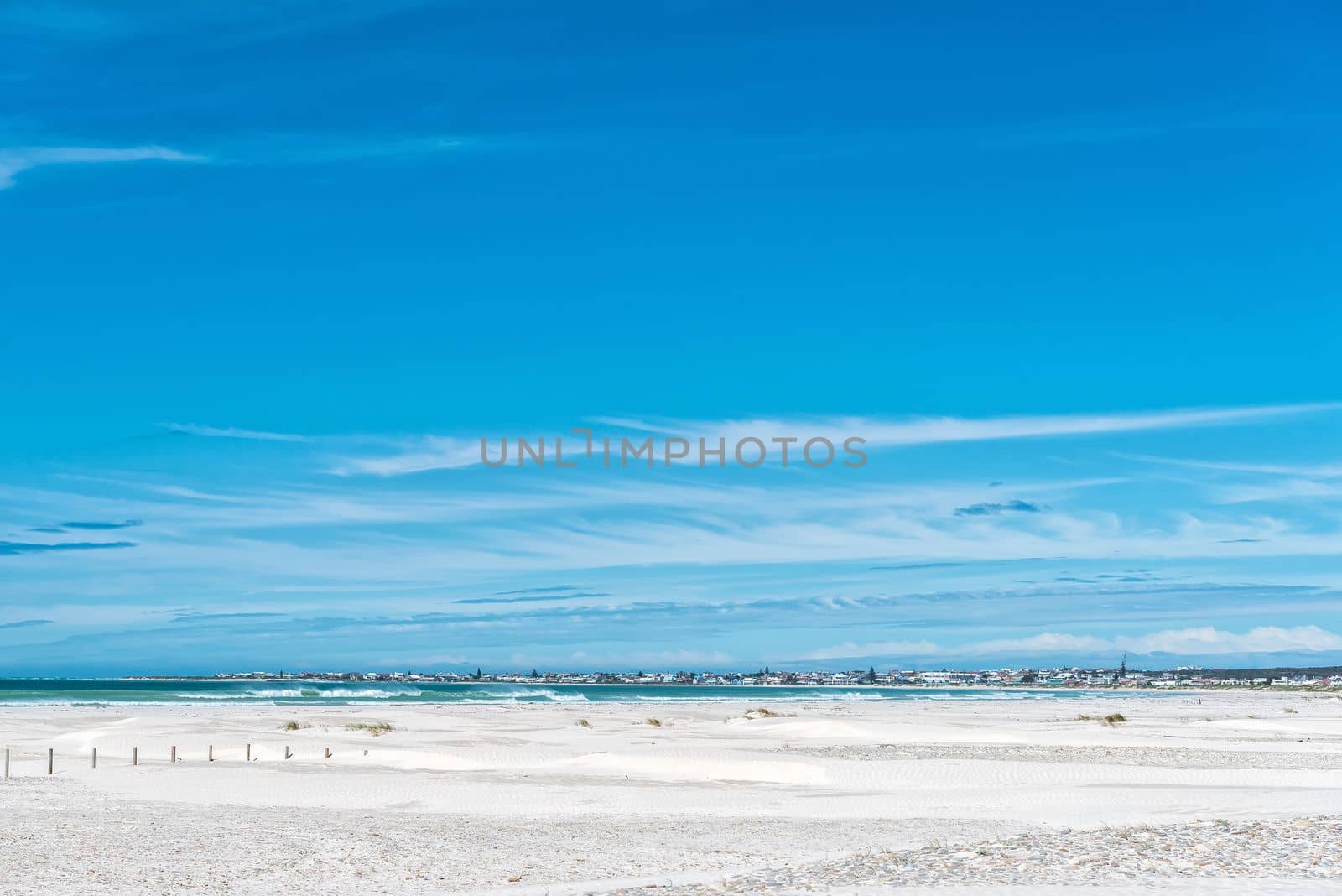
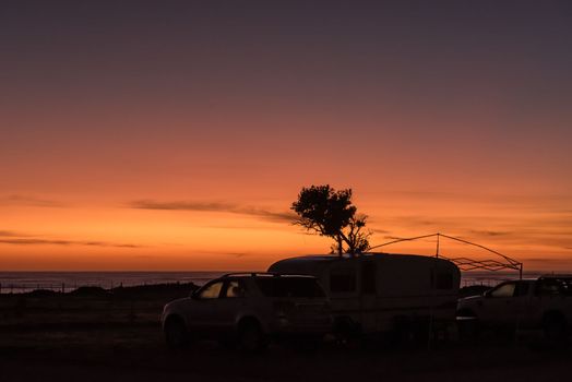
Sunrise at the caravan park in Struisbaai
Stock PhotoUsername
dpreezgResolution
3146x2100pxSunrise at the caravan park in Struisbaai
Back entrance to the Waenhuiskrans Cave near Arniston
Stock PhotoUsername
dpreezgResolution
3595x2400pxBack entrance to the Waenhuiskrans Cave near Arniston

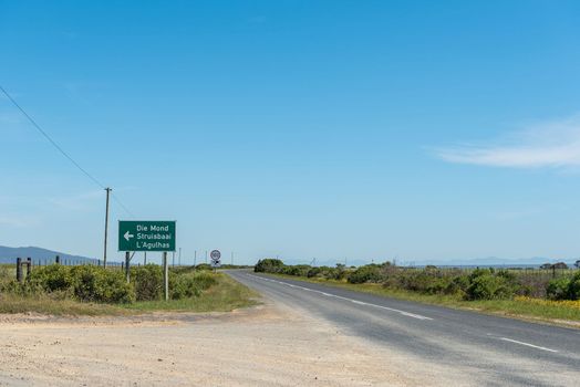
Turn-off to Struisbaai from the Arniston to Bredasdorp road
Stock PhotoUsername
dpreezgResolution
3595x2400pxTurn-off to Struisbaai from the Arniston to Bredasdorp road

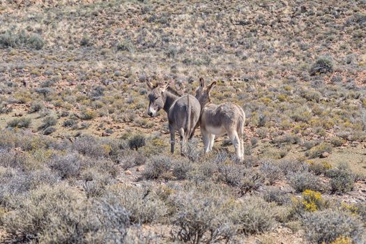
Landscape, with donkeys, on the historic Postal Route
Stock PhotoUsername
dpreezgResolution
3600x2400pxLandscape, with donkeys, on the historic Postal Route
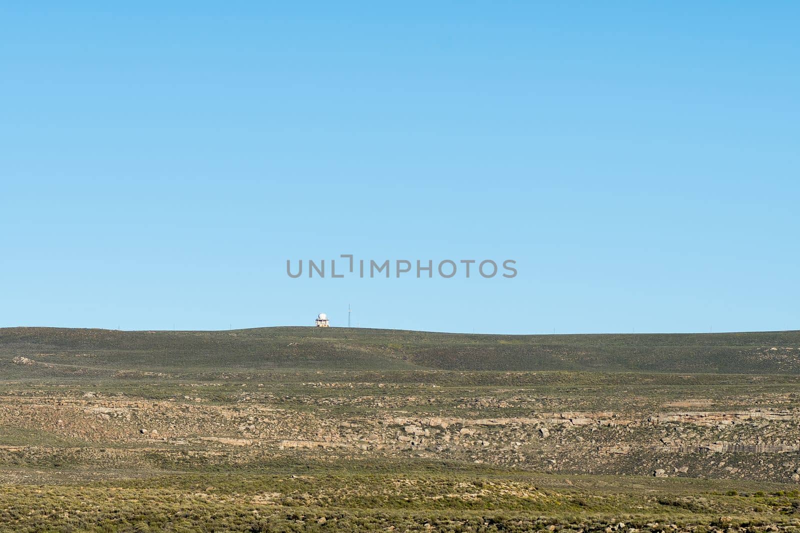
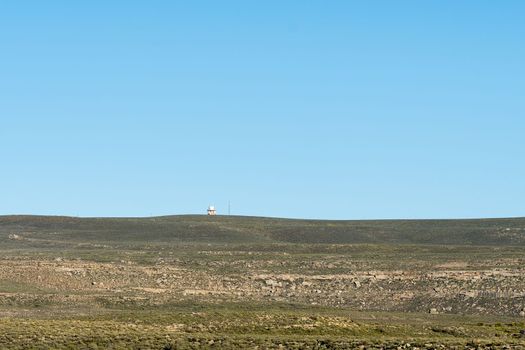
Radar installation on top of Swaarweerberg mountain near Sutherland
Stock PhotoUsername
dpreezgResolution
3600x2400pxRadar installation on top of Swaarweerberg mountain near Sutherland
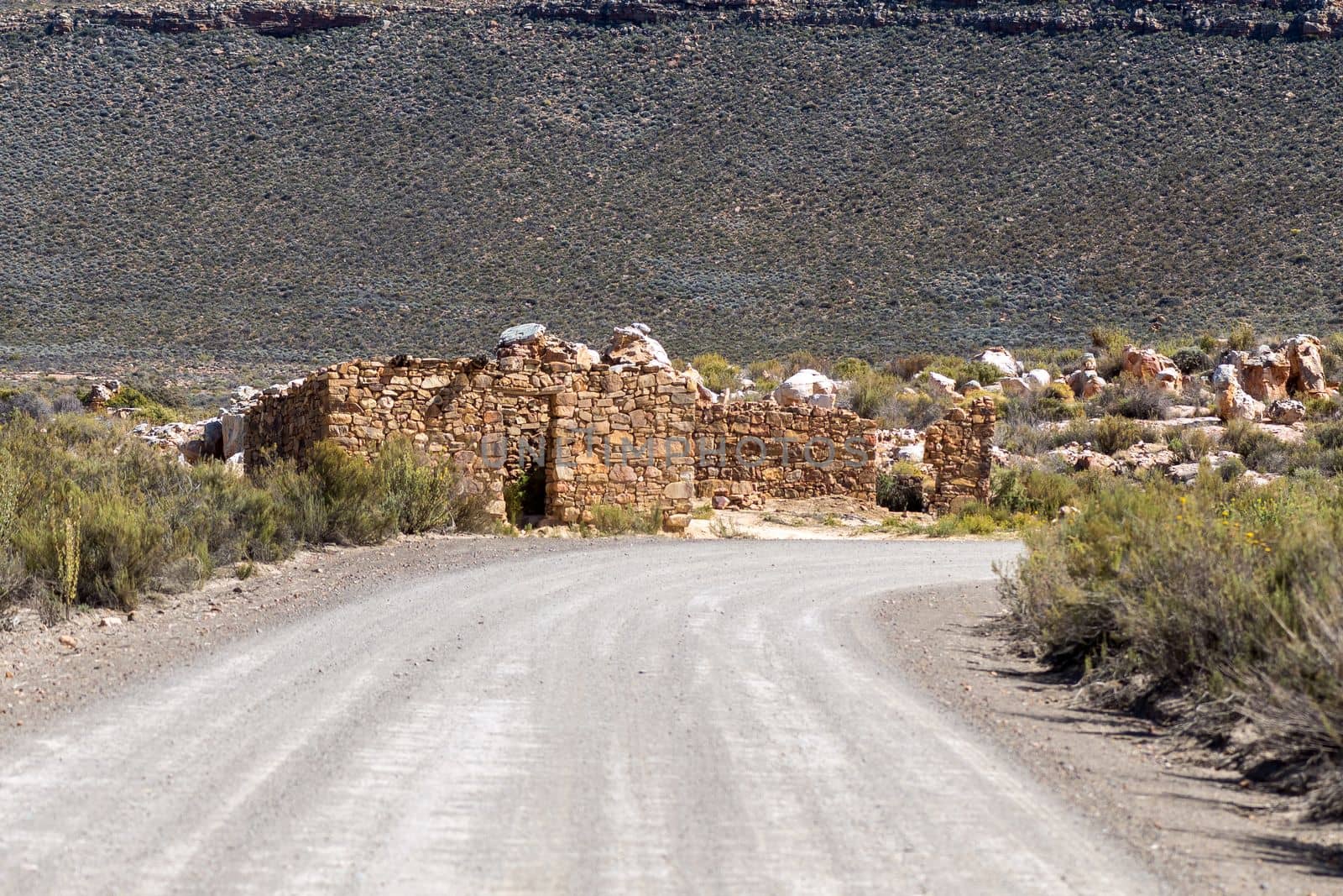
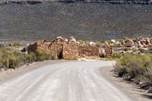
Ruins next to road between Peerboomskloof Pass and Katbakkies Pass
Stock PhotoUsername
dpreezgResolution
3600x2400pxRuins next to road between Peerboomskloof Pass and Katbakkies Pass

View of the Ouberg Pass near Sutherland
Stock PhotoUsername
dpreezgResolution
3595x2400pxView of the Ouberg Pass near Sutherland
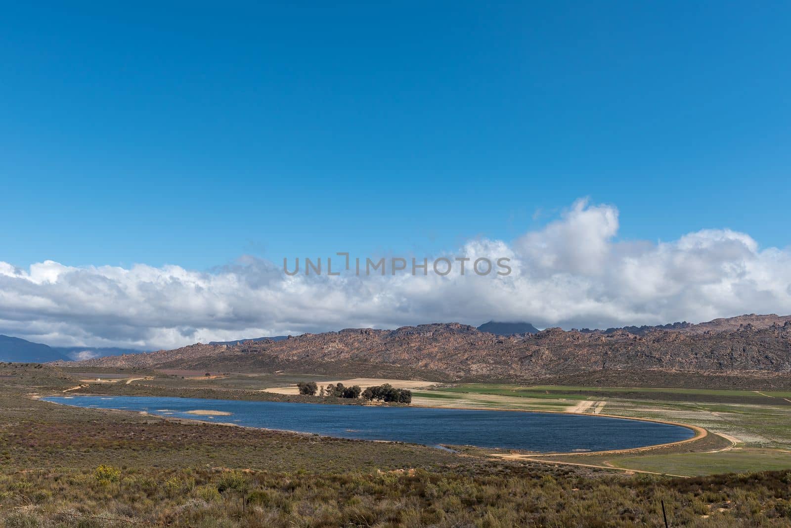
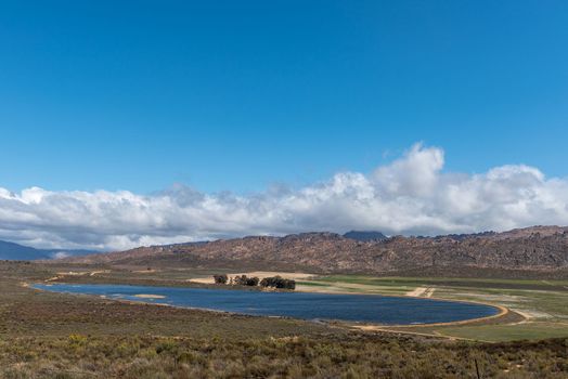
Dam at junction between Katbakkies and Cederberg roads
Stock PhotoUsername
dpreezgResolution
3595x2400pxDam at junction between Katbakkies and Cederberg roads
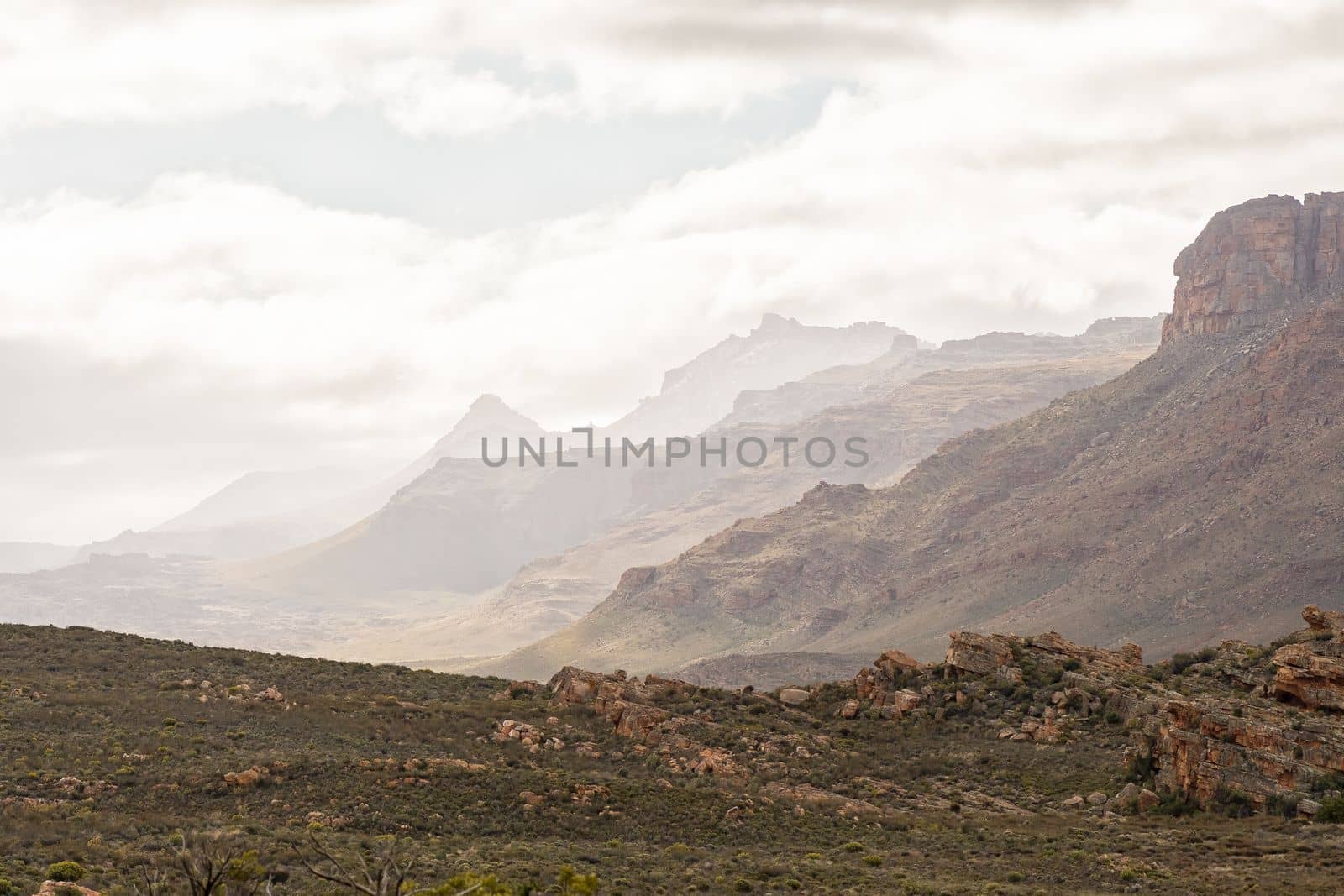
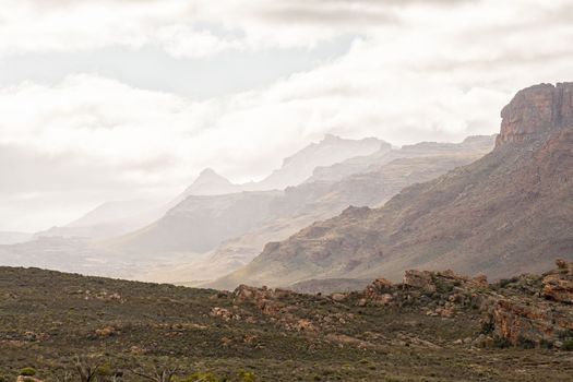
View to the North-West from the Stadsaal Caves
Stock PhotoUsername
dpreezgResolution
3600x2400pxView to the North-West from the Stadsaal Caves
Road from the entrance gate to the Stadsaal Cave
Stock PhotoUsername
dpreezgResolution
3600x2400pxRoad from the entrance gate to the Stadsaal Cave
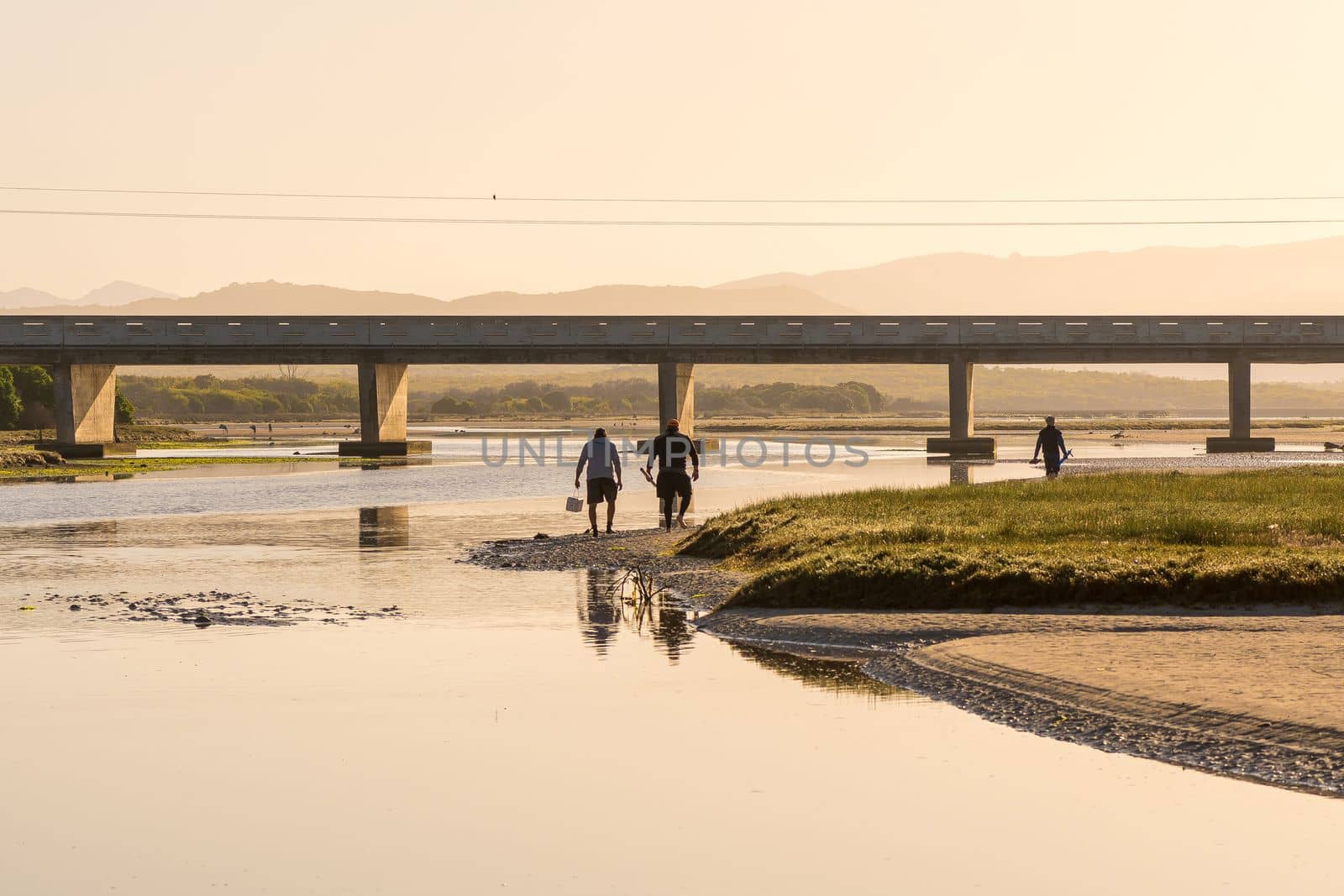
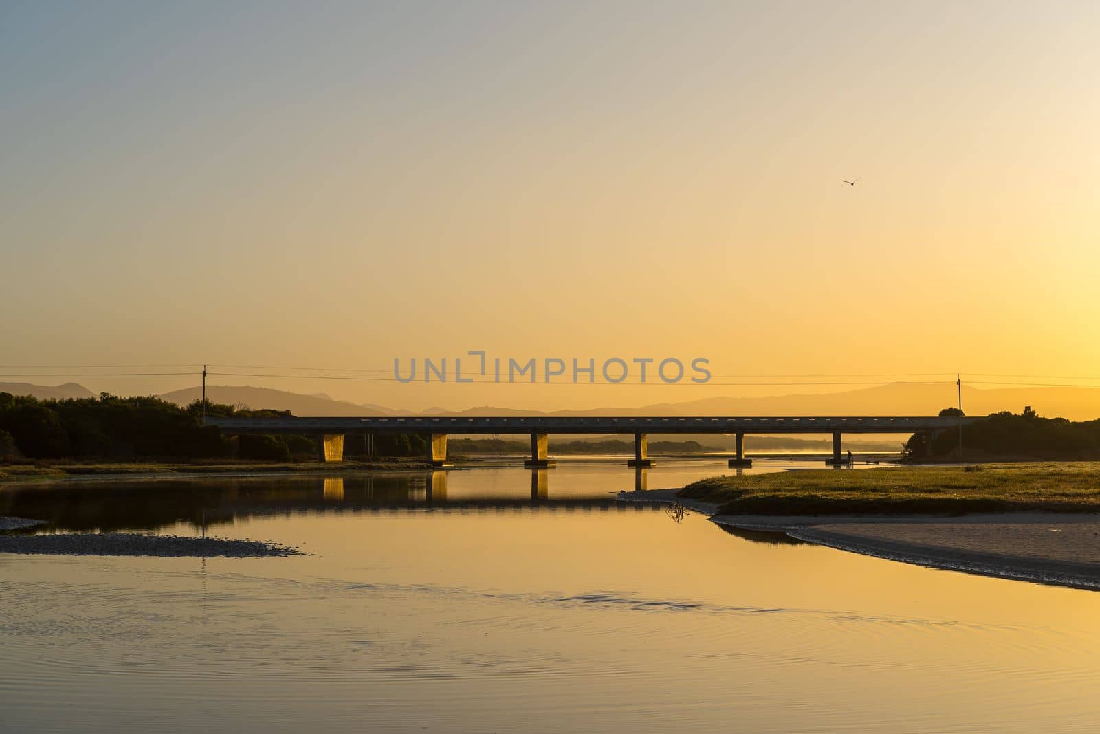
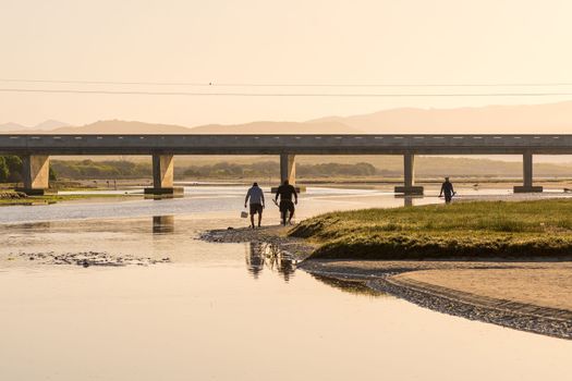
Lagoon, bridge and bait collectors at sunrise at Uilenkraalsmond
Stock PhotoUsername
dpreezgResolution
3600x2400pxLagoon, bridge and bait collectors at sunrise at Uilenkraalsmond
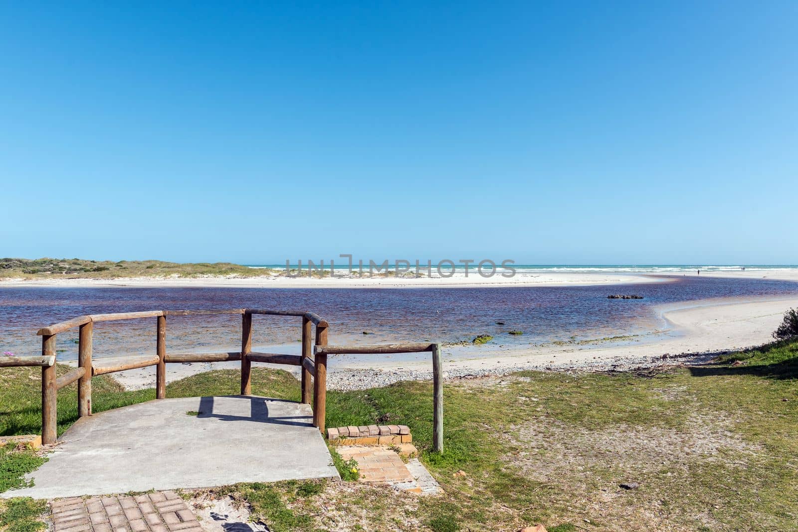
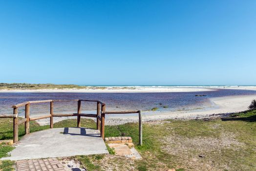
Viewpoint at the mouth of the Uilenkraals River
Stock PhotoUsername
dpreezgResolution
3595x2400pxViewpoint at the mouth of the Uilenkraals River

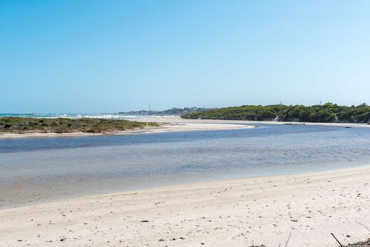
Mouth of the Uilenkraals River at Franskraalstrand
Stock PhotoUsername
dpreezgResolution
3595x2400pxMouth of the Uilenkraals River at Franskraalstrand

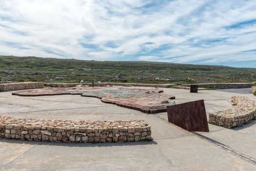
Relief map of Africa at Cape Agulhas
Stock PhotoUsername
dpreezgResolution
3595x2400pxRelief map of Africa at Cape Agulhas
Back entrance of the Waenhuiskrans Cave near Arniston
Stock PhotoUsername
dpreezgResolution
3000x2003pxBack entrance of the Waenhuiskrans Cave near Arniston

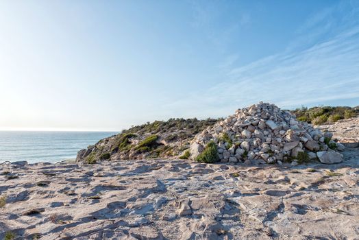
Cairn of rocks on the tral to the Waenhuiskrans Cave
Stock PhotoUsername
dpreezgResolution
3595x2400pxCairn of rocks on the tral to the Waenhuiskrans Cave

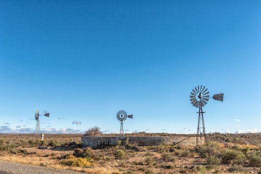
Landscape with three water-pumping windmills and dam
Stock PhotoUsername
dpreezgResolution
3595x2400pxLandscape with three water-pumping windmills and dam