- Filter By:
-
-
Stock photos and images of username:dpreezg
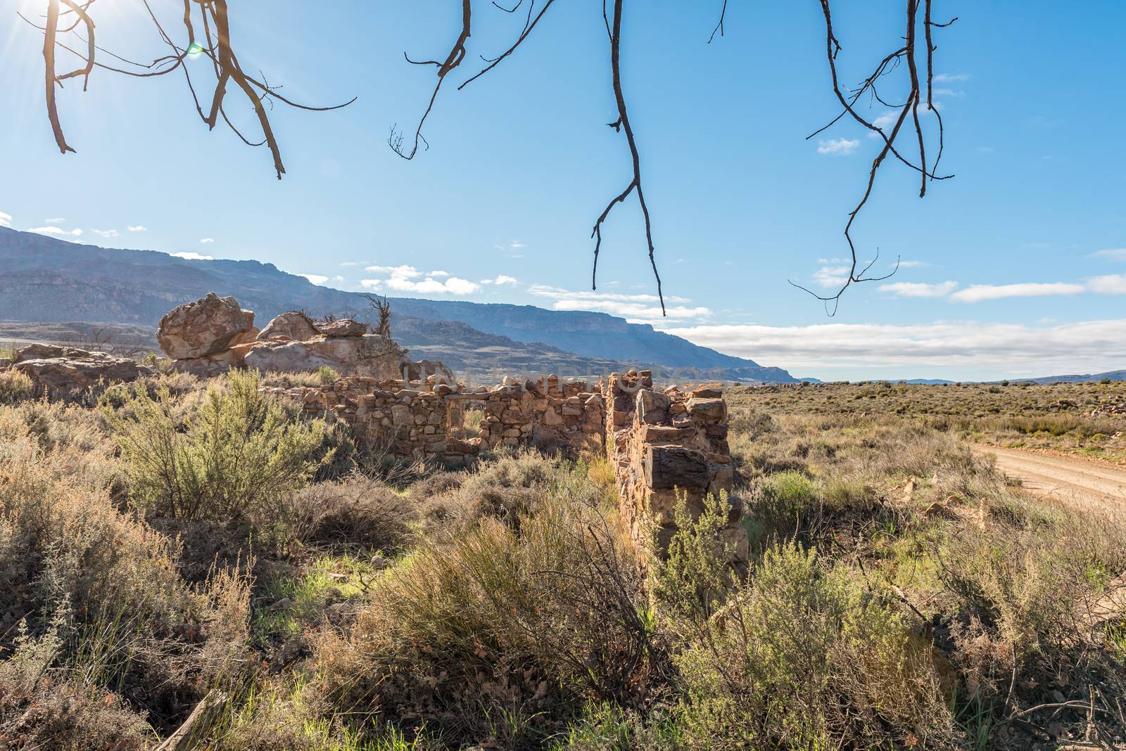
Ruins at Old Kalkoenfontein on the Algeria to Dwarsrivier road
Stock PhotoUsername
dpreezgResolution
3595x2400pxRuins at Old Kalkoenfontein on the Algeria to Dwarsrivier road

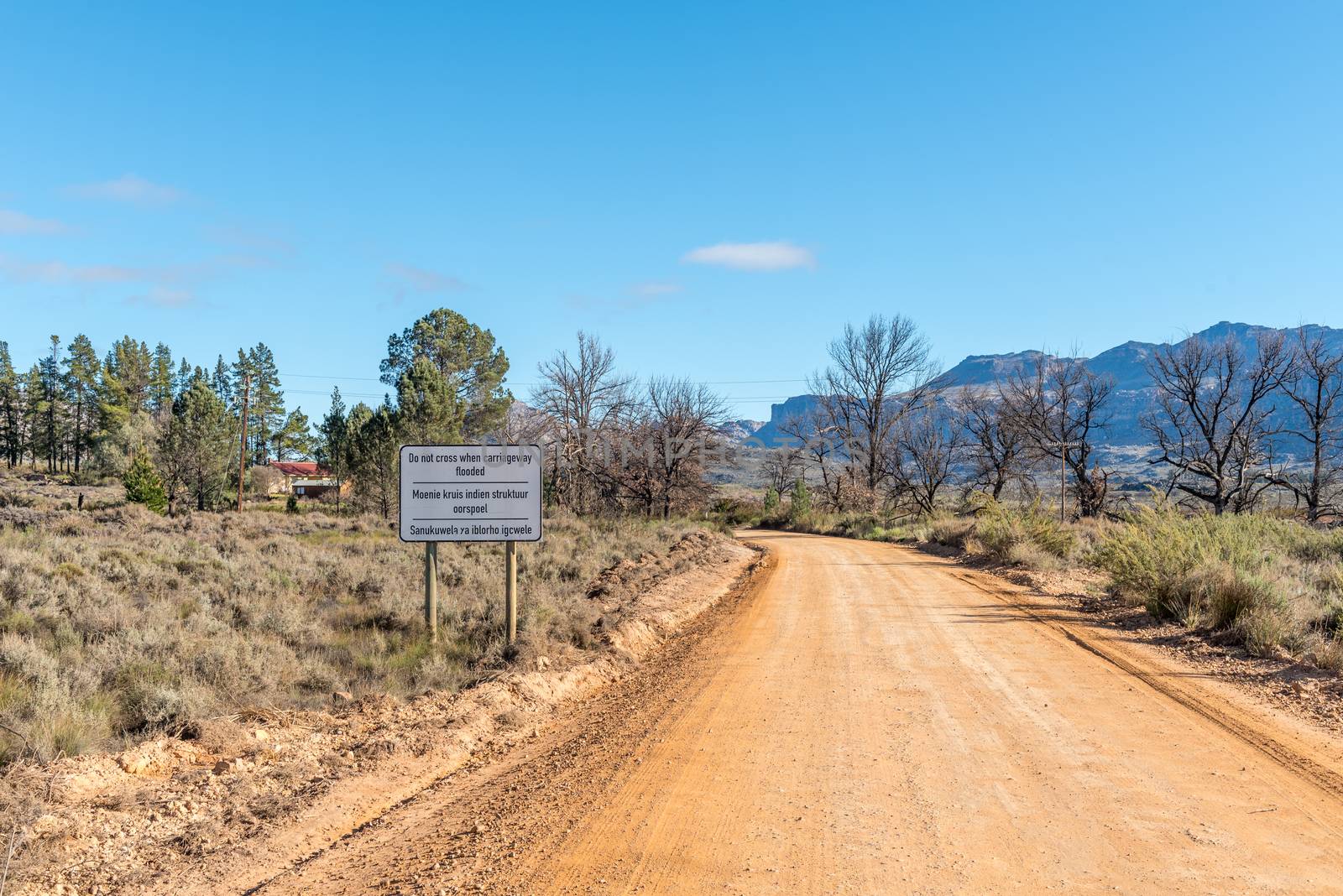
Flood warning sign at Perdekloof on Algeria to Dwarsrivier road
Stock PhotoUsername
dpreezgResolution
3595x2400pxFlood warning sign at Perdekloof on Algeria to Dwarsrivier road


Water level indicators at Uitskietdrif in Tonteldoekkloof
Stock PhotoUsername
dpreezgResolution
3594x2400pxWater level indicators at Uitskietdrif in Tonteldoekkloof

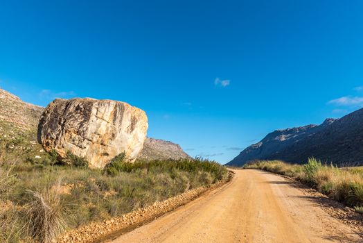
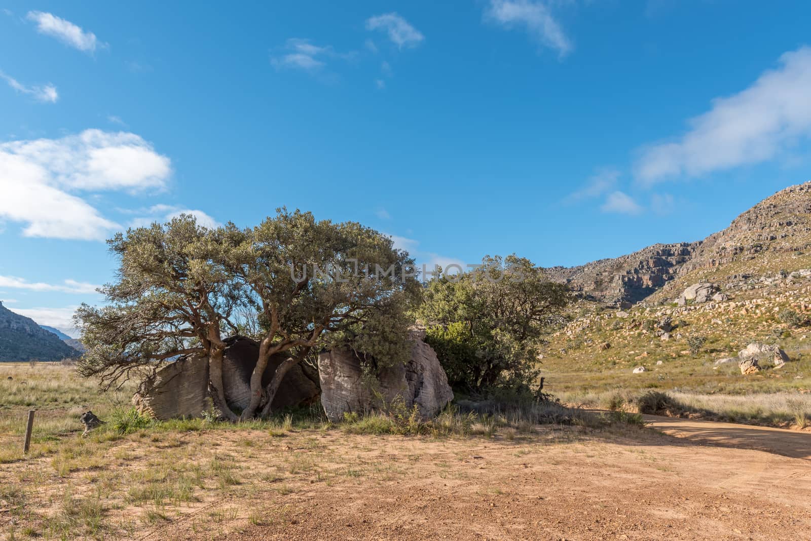
Moutonsklip, a boulder on the Algeria to Dwarsrivier road
Stock PhotoUsername
dpreezgResolution
3595x2400pxMoutonsklip, a boulder on the Algeria to Dwarsrivier road

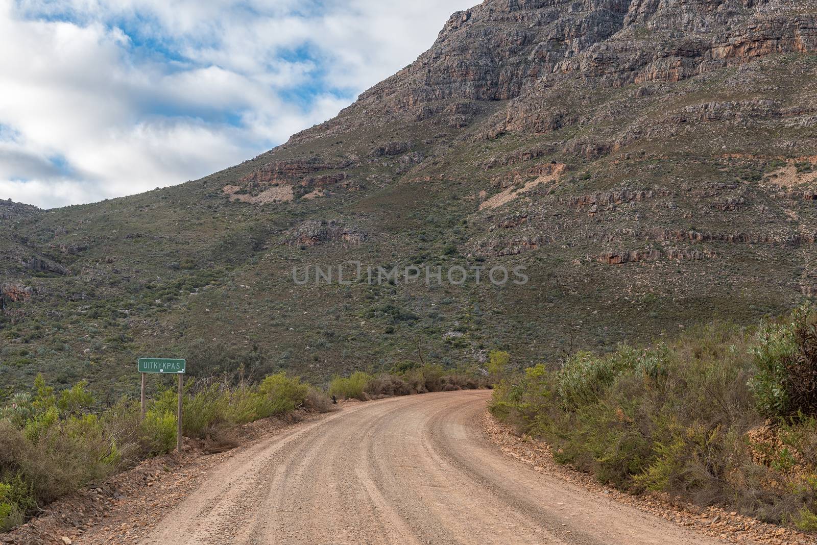
Position of Boer War blockhouse on the Uitkyk Pass
Stock PhotoUsername
dpreezgResolution
3595x2400pxPosition of Boer War blockhouse on the Uitkyk Pass
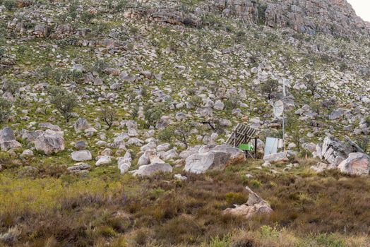
Malkop Se Kraal in the Uitkyk Pass in Cederberg Mountains
Stock PhotoUsername
dpreezgResolution
3595x2400pxMalkop Se Kraal in the Uitkyk Pass in Cederberg Mountains

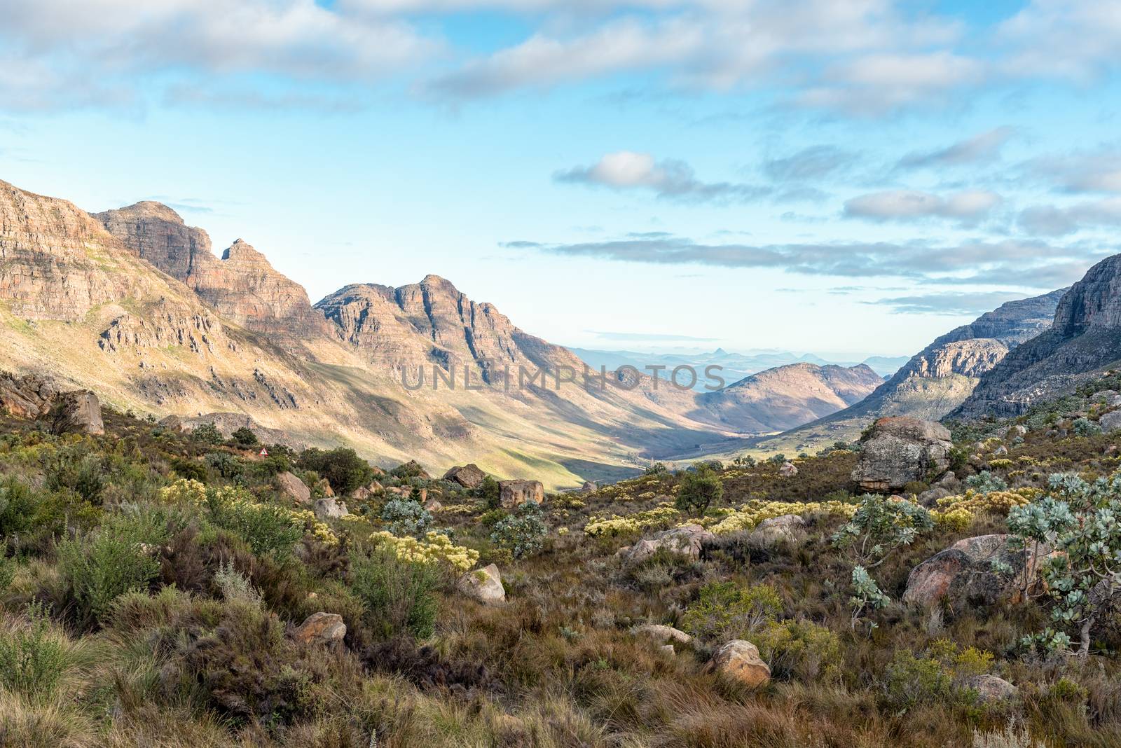
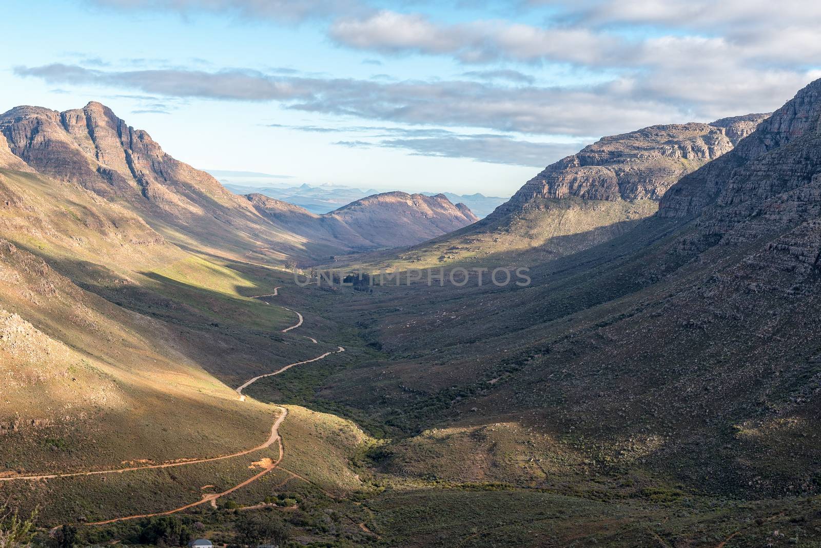
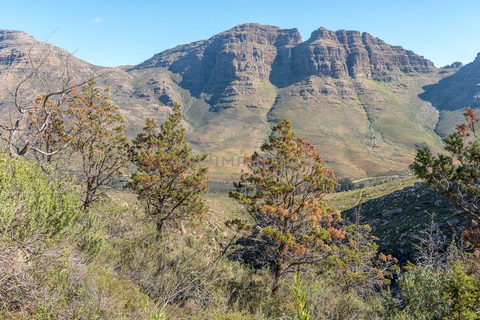
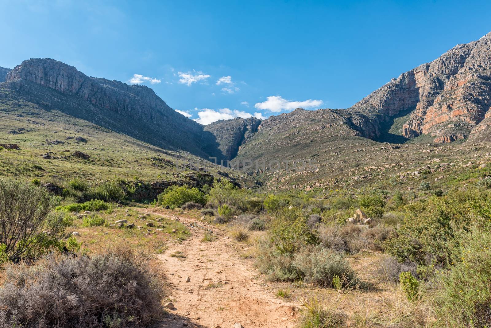
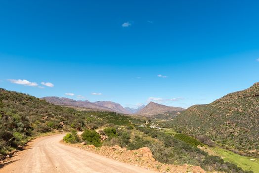
View from the Uitkyk Pass towards Algeria in the Cederberg
Stock PhotoUsername
dpreezgResolution
3595x2400pxView from the Uitkyk Pass towards Algeria in the Cederberg
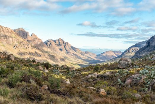

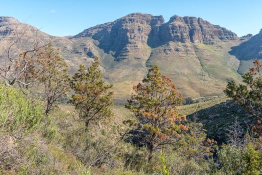
View from the Uitkyk Pass towards Algeria in the Cederberg
Stock PhotoUsername
dpreezgResolution
3595x2400pxView from the Uitkyk Pass towards Algeria in the Cederberg

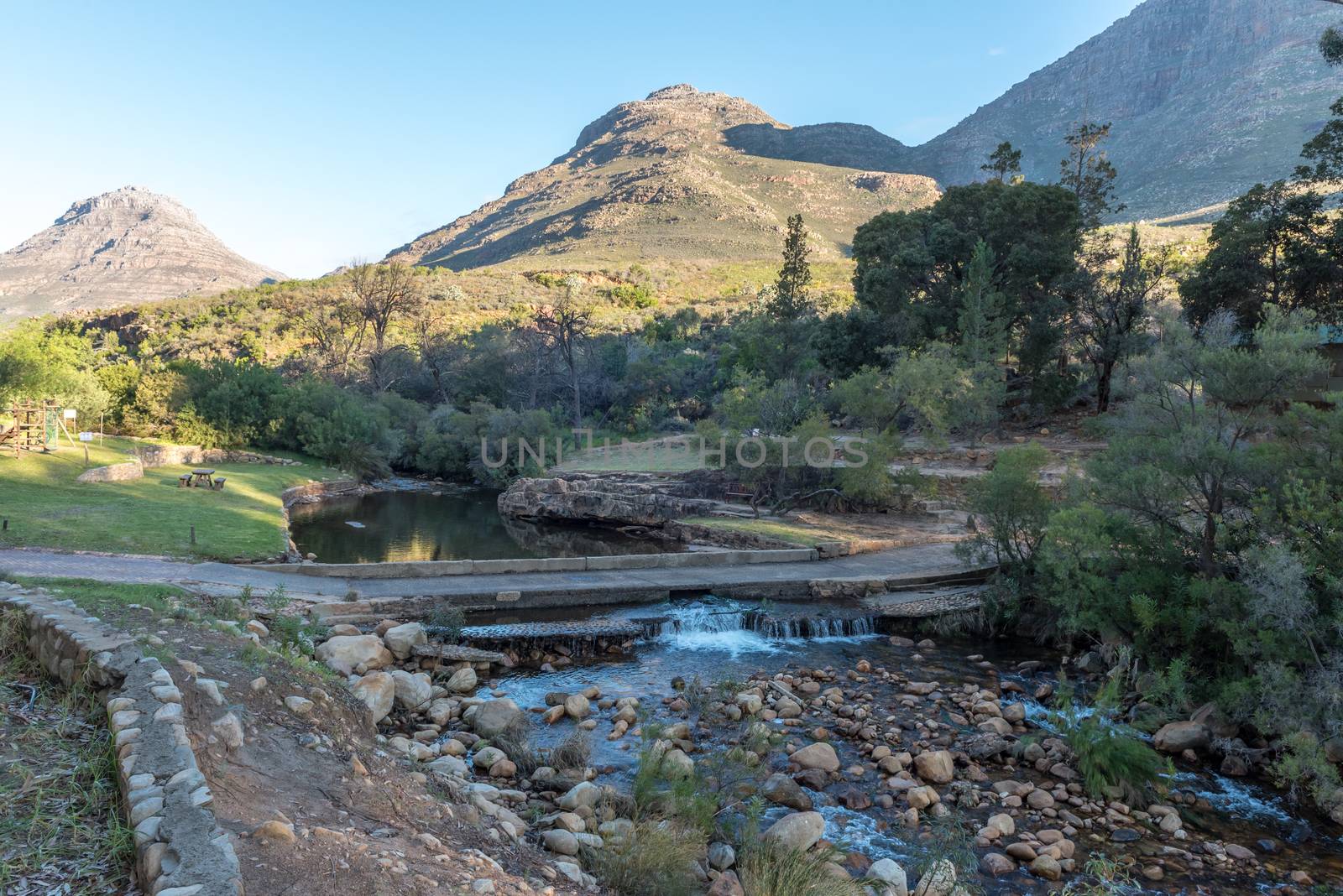
Low level road bridge at Algeria in the Cederberg Mountains
Stock PhotoUsername
dpreezgResolution
3481x2400pxLow level road bridge at Algeria in the Cederberg Mountains
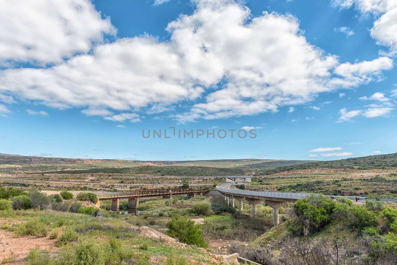
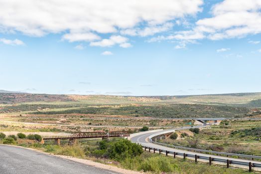
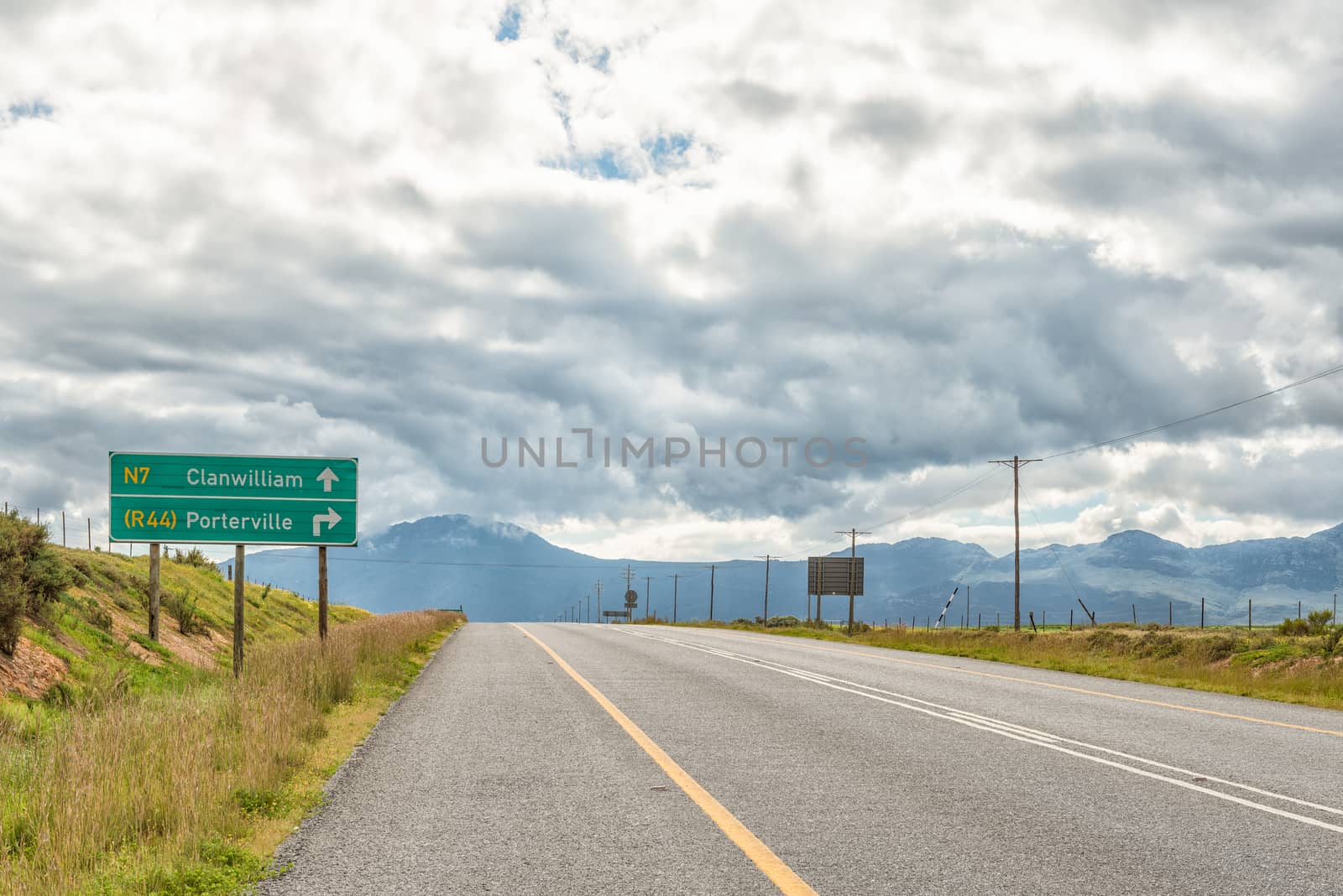
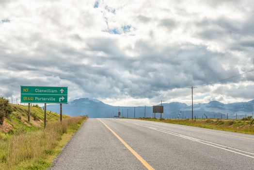
Road interchange on road N7 at Clanwilliam
Stock PhotoUsername
dpreezgResolution
3595x2400pxRoad interchange on road N7 at Clanwilliam

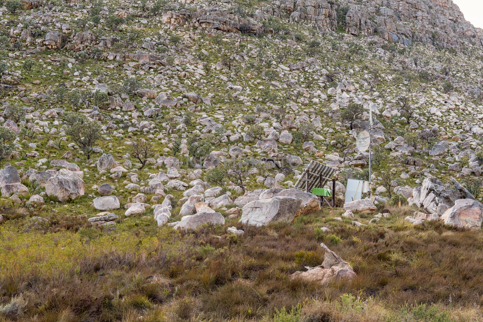
Telecommunications equipment in the Uitkyk Pass near Algeria
Stock PhotoUsername
dpreezgResolution
3595x2400pxTelecommunications equipment in the Uitkyk Pass near Algeria
View from the Uitkyk Pass towards Algeria in the Cederberg
Stock PhotoUsername
dpreezgResolution
3595x2400pxView from the Uitkyk Pass towards Algeria in the Cederberg

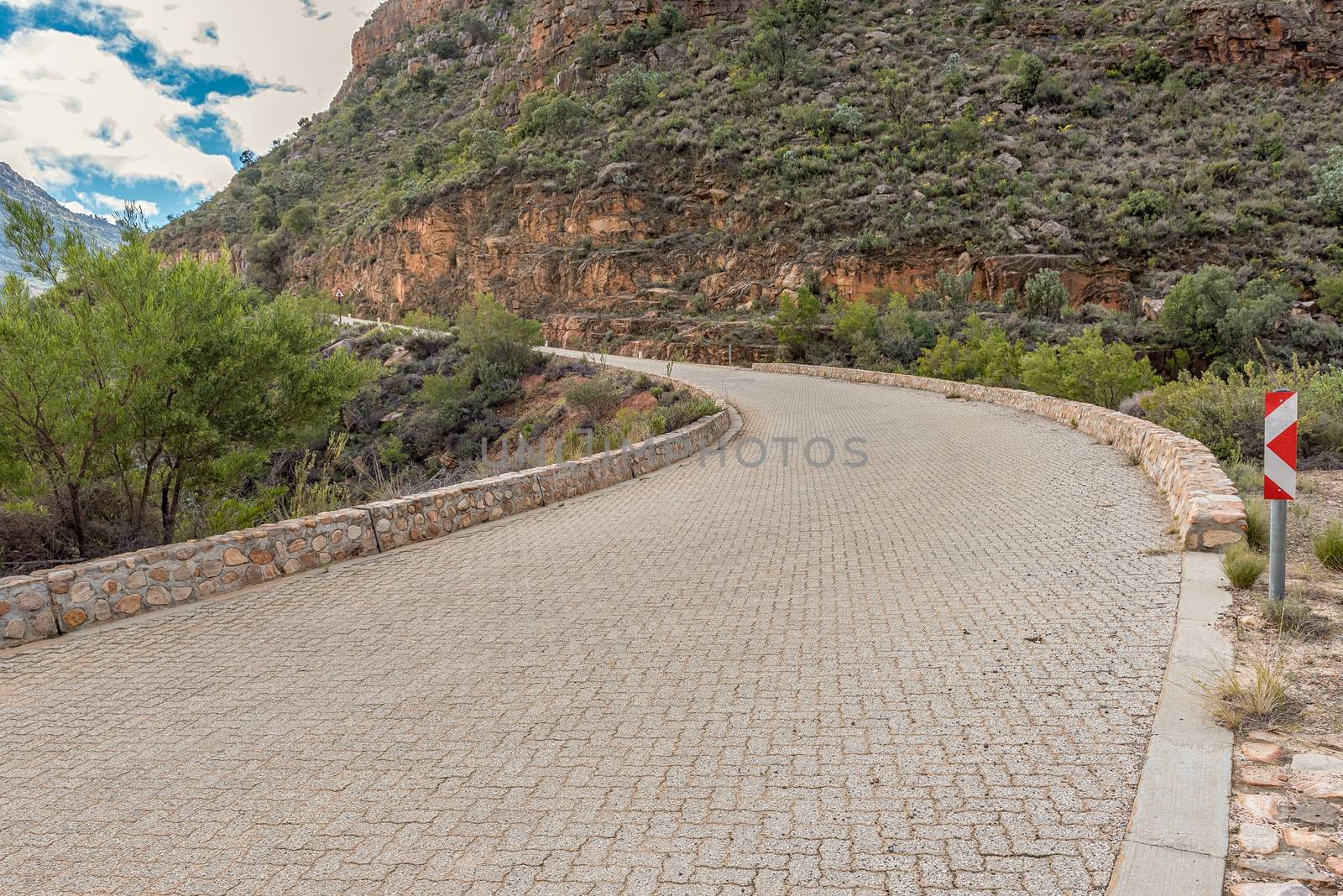
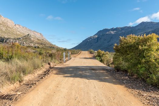
Paved section of the Uitkyk Pass in the Cederberg Mountains
Stock PhotoUsername
dpreezgResolution
3595x2400pxPaved section of the Uitkyk Pass in the Cederberg Mountains
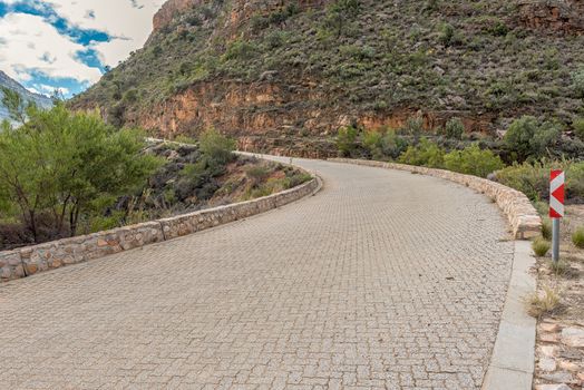

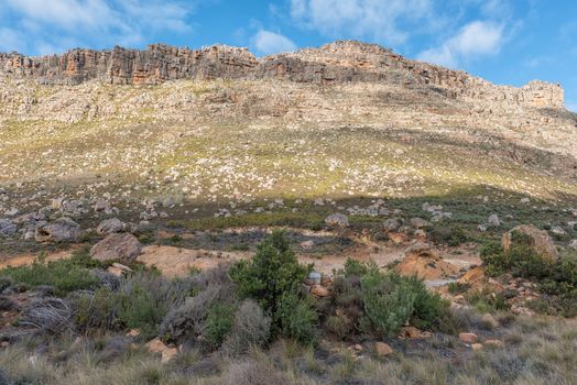
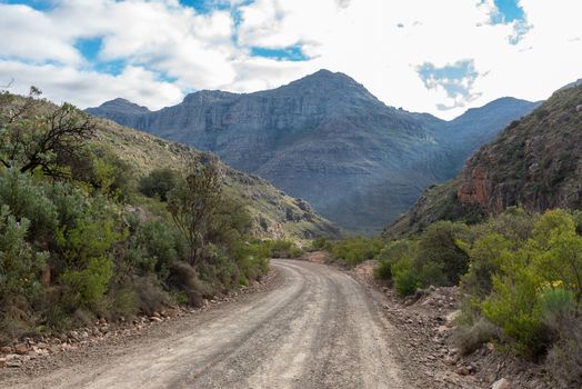
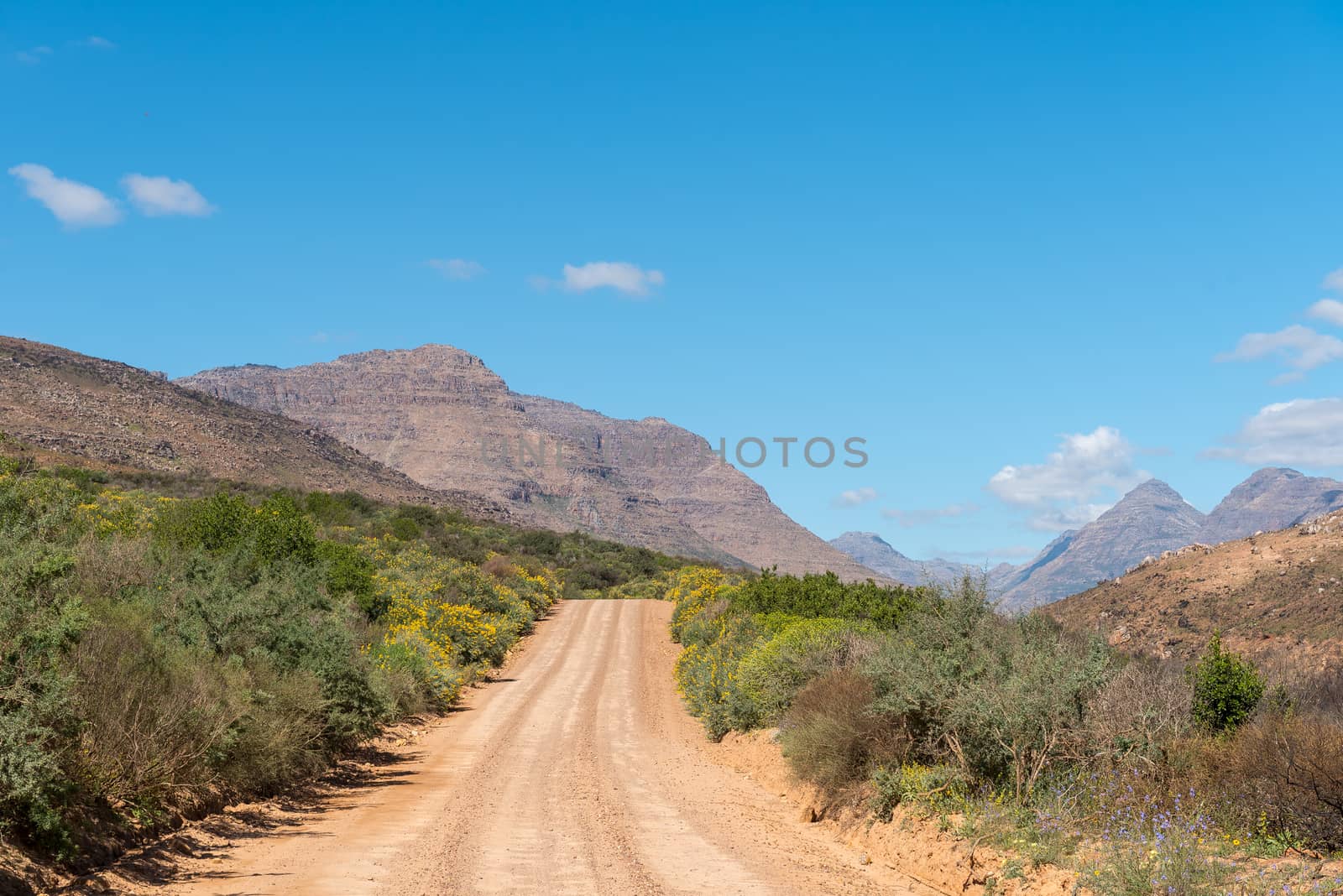
The Uitkyk Pass in the Cederberg Mountains
Stock PhotoUsername
dpreezgResolution
3595x2400pxThe Uitkyk Pass in the Cederberg Mountains
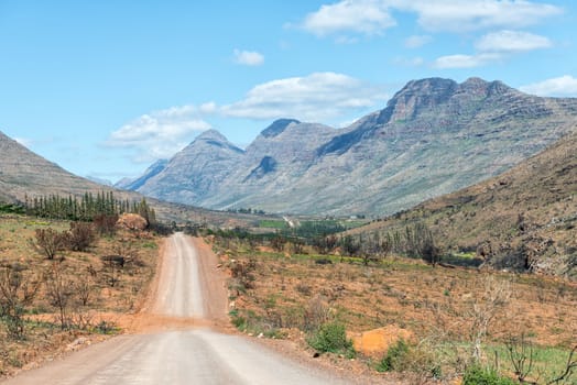
Start of the Uitkyk Pass in the Cederberg Mountains
Stock PhotoUsername
dpreezgResolution
3595x2400pxStart of the Uitkyk Pass in the Cederberg Mountains

Low level road bridge at Algeria in the Cederberg Mountains
Stock PhotoUsername
dpreezgResolution
3595x2400pxLow level road bridge at Algeria in the Cederberg Mountains

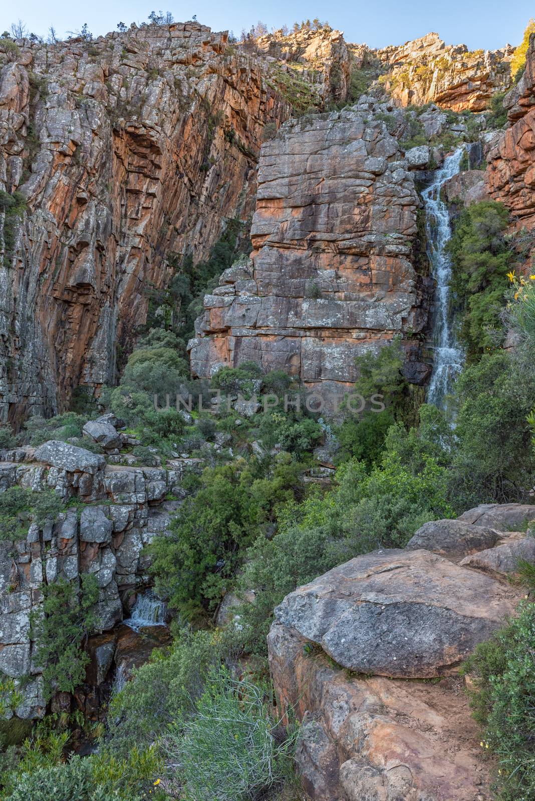
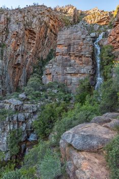
Middelberg Waterfall at Algeria in the Cederberg Mountains
Stock PhotoUsername
dpreezgResolution
2400x3595pxMiddelberg Waterfall at Algeria in the Cederberg Mountains
Endangered Clanwilliam ceder trees at Algeria
Stock PhotoUsername
dpreezgResolution
3595x2400pxEndangered Clanwilliam ceder trees at Algeria
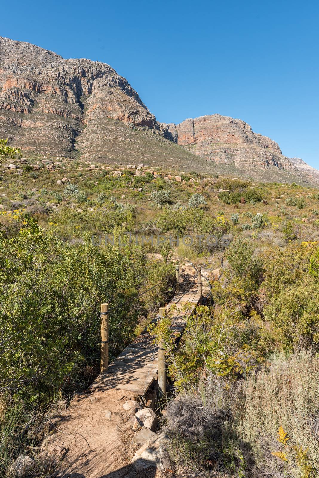
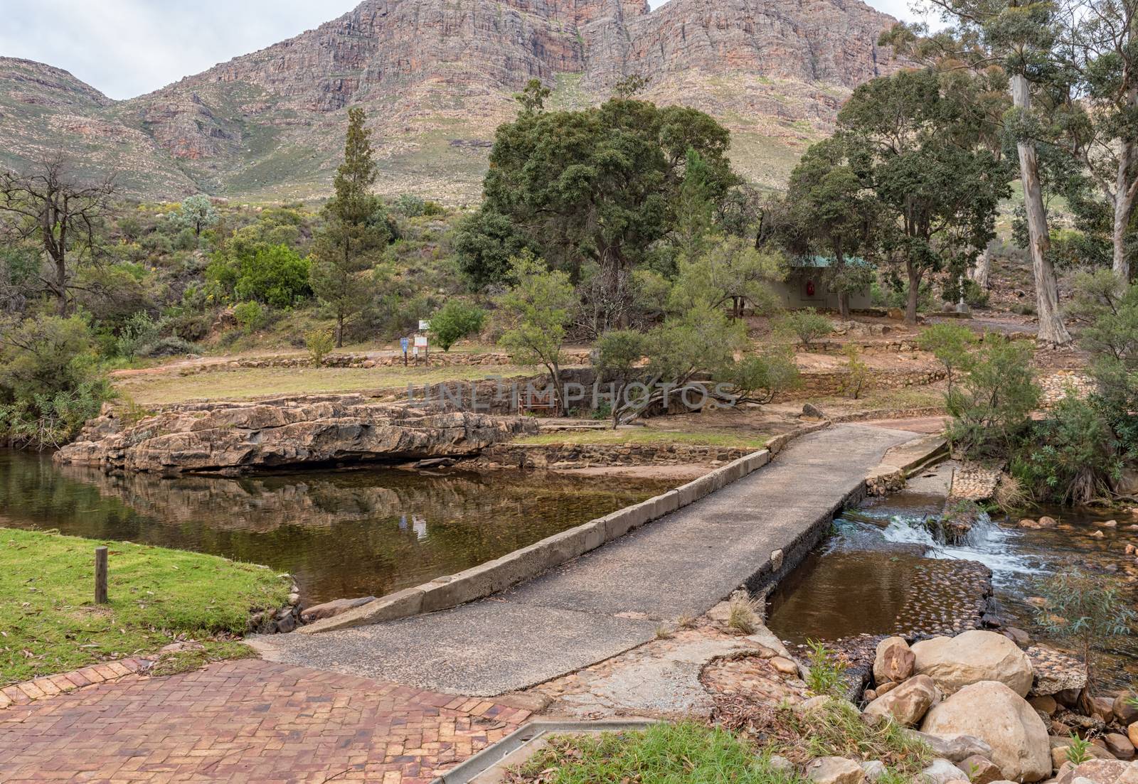
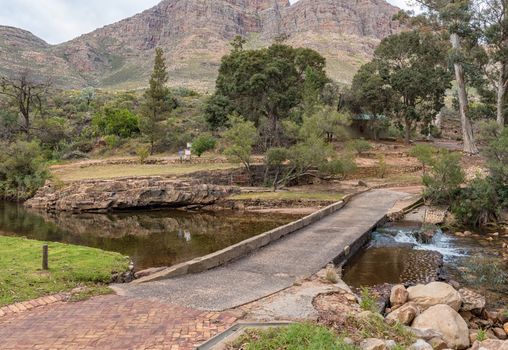
Pedestrian bridge on the trail to Middelberg Waterfall at Algeri
Stock PhotoUsername
dpreezgResolution
2400x3595pxPedestrian bridge on the trail to Middelberg Waterfall at Algeri

Trail to the Middelberg Waterfall at Algeria
Stock PhotoUsername
dpreezgResolution
3595x2400pxTrail to the Middelberg Waterfall at Algeria

View of Skilpaddorp in the Cederberg Mountains
Stock PhotoUsername
dpreezgResolution
3595x2400pxView of Skilpaddorp in the Cederberg Mountains
Road landscape near Keurbos in the Cederberg Mountains
Stock PhotoUsername
dpreezgResolution
3595x2400pxRoad landscape near Keurbos in the Cederberg Mountains
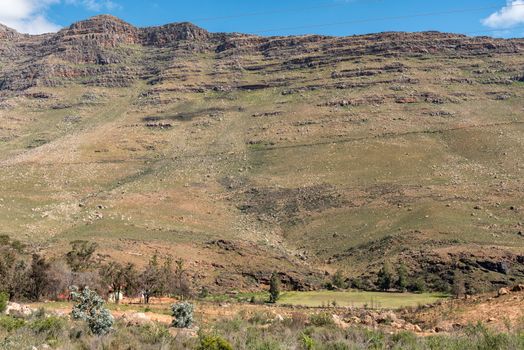
Road landscape at Keurbos in the Cederberg Mountains
Stock PhotoUsername
dpreezgResolution
3595x2400pxRoad landscape at Keurbos in the Cederberg Mountains


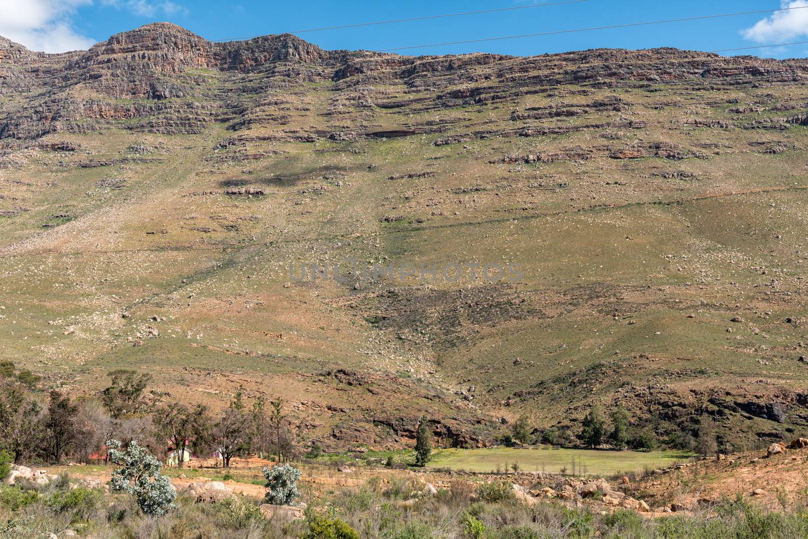
Farm and road landscape at Keurbos in the Cederberg Mountains
Stock PhotoUsername
dpreezgResolution
3595x2400pxFarm and road landscape at Keurbos in the Cederberg Mountains

Road interchange on road N7 at Clanwilliam
Stock PhotoUsername
dpreezgResolution
3595x2400pxRoad interchange on road N7 at Clanwilliam
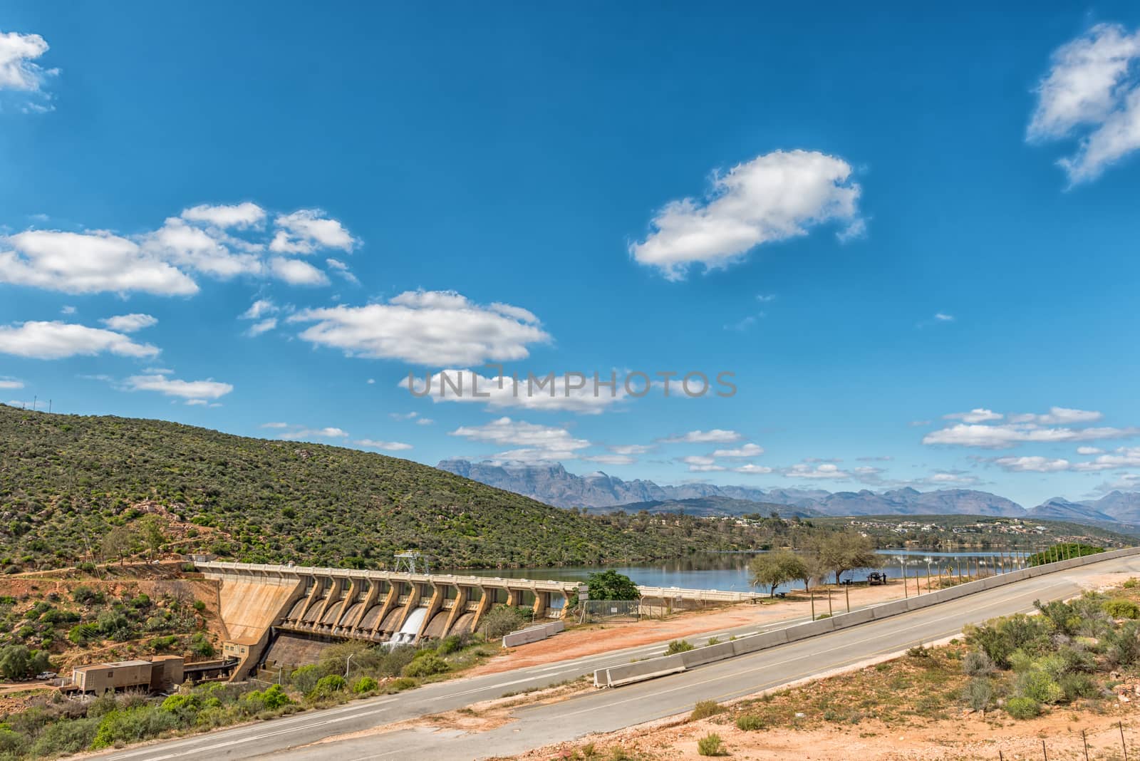
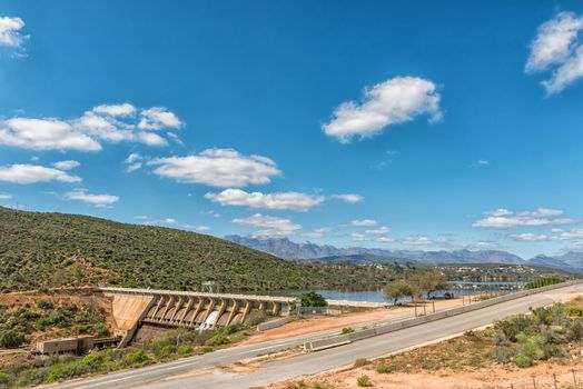
Clanwilliam Dam near Clanwilliam in the Western Cape Province
Stock PhotoUsername
dpreezgResolution
3595x2400pxClanwilliam Dam near Clanwilliam in the Western Cape Province
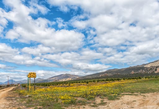
Wild flowers in a rooibos tea field near Clanwilliam
Stock PhotoUsername
dpreezgResolution
3595x2400pxWild flowers in a rooibos tea field near Clanwilliam

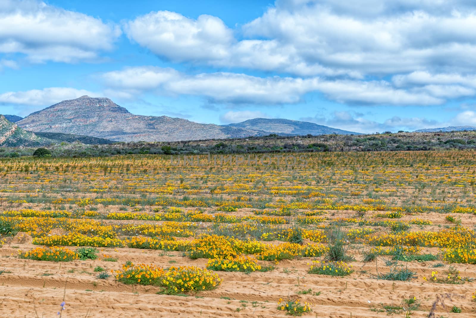
Wild flowers and citrus orchards near Citrusdal
Stock PhotoUsername
dpreezgResolution
3512x2400pxWild flowers and citrus orchards near Citrusdal

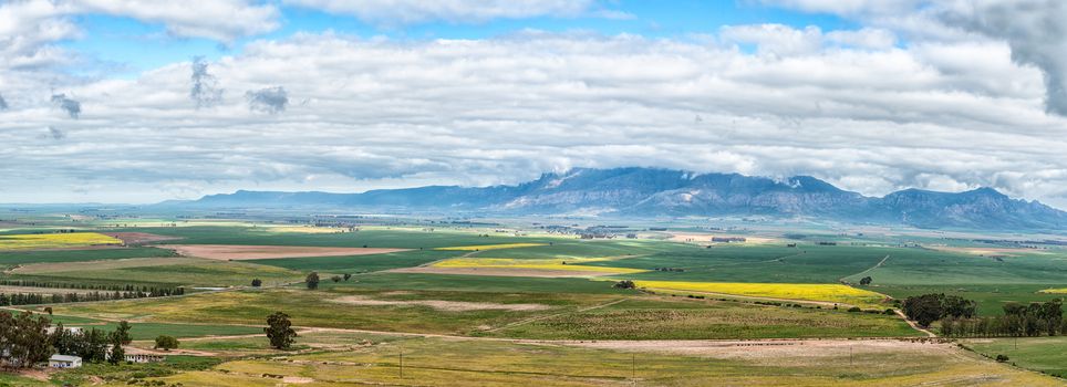
Panoramic farm landscape seen from the Piekenierskloof Pass
Stock PhotoUsername
dpreezgResolution
6610x2400pxPanoramic farm landscape seen from the Piekenierskloof Pass
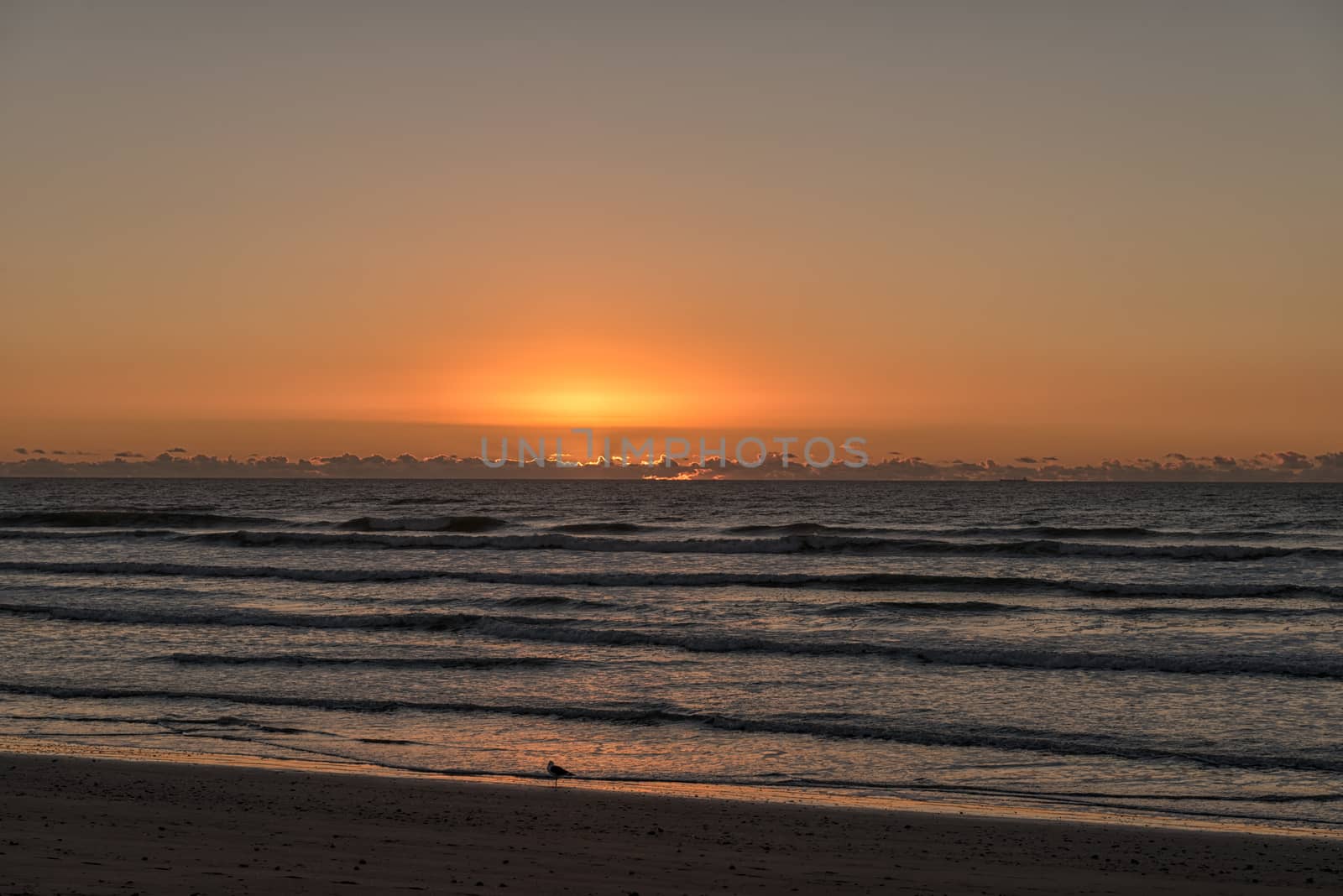
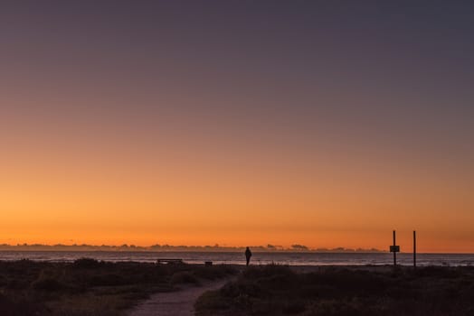
Sunset over the Atlantic Ocean at Dwarskersbos
Stock PhotoUsername
dpreezgResolution
3595x2400pxSunset over the Atlantic Ocean at Dwarskersbos

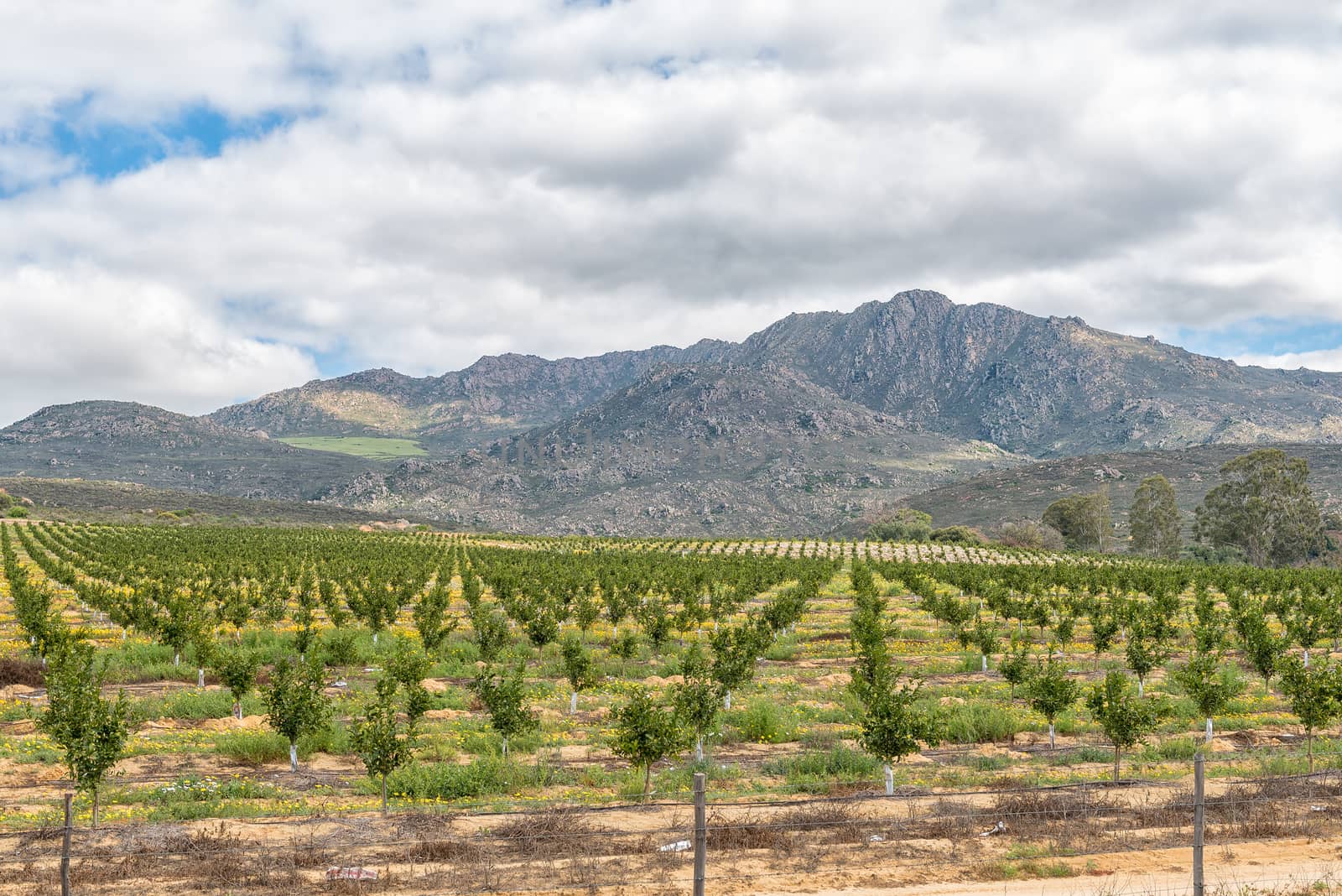
Citrus orchards next to road N7 near Citrusdal
Stock PhotoUsername
dpreezgResolution
3595x2400pxCitrus orchards next to road N7 near Citrusdal

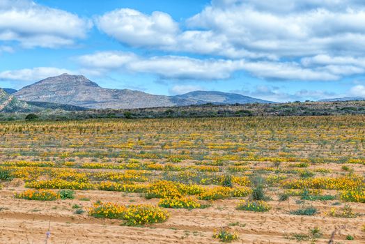
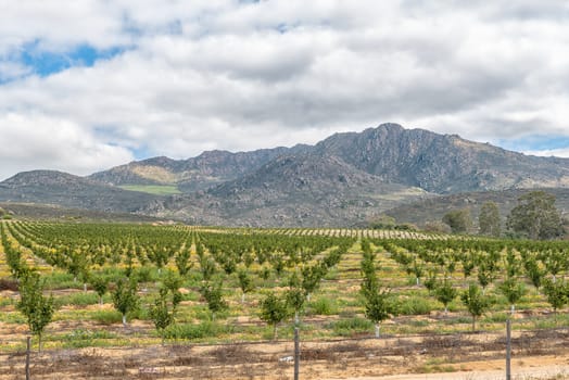
Wild flowers and citrus orchards near Citrusdal
Stock PhotoUsername
dpreezgResolution
3146x2100pxWild flowers and citrus orchards near Citrusdal
Wild flowers and citrus orchards near Citrusdal
Stock PhotoUsername
dpreezgResolution
3595x2400pxWild flowers and citrus orchards near Citrusdal

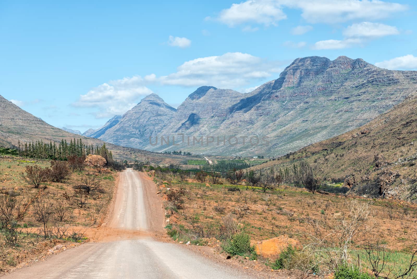
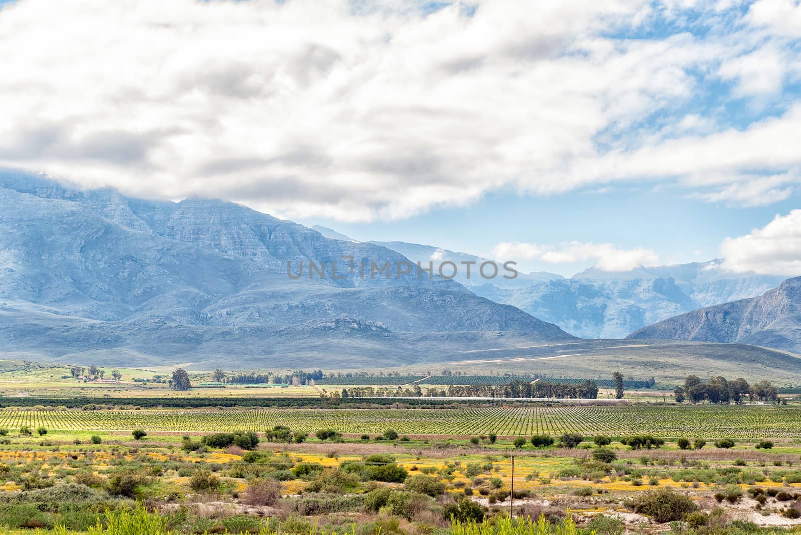
Farm landscape seen from the Piekenierskloof Pass
Stock PhotoUsername
dpreezgResolution
3595x2400pxFarm landscape seen from the Piekenierskloof Pass
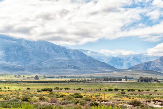
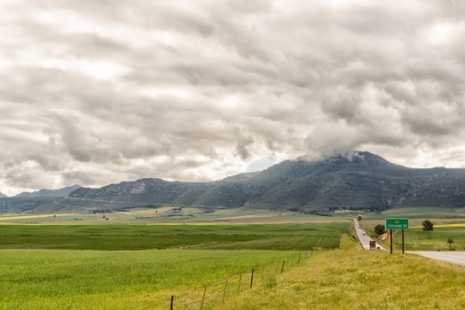
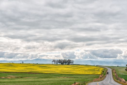
Farm landscape on road N7 between Piketberg and Citrusdal
Stock PhotoUsername
dpreezgResolution
3595x2400pxFarm landscape on road N7 between Piketberg and Citrusdal
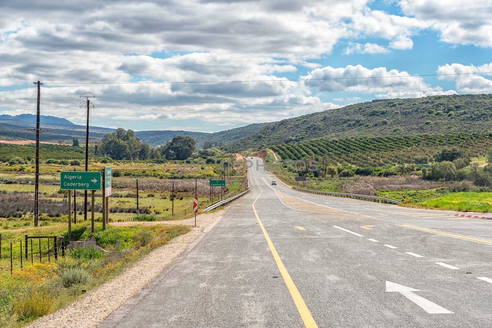
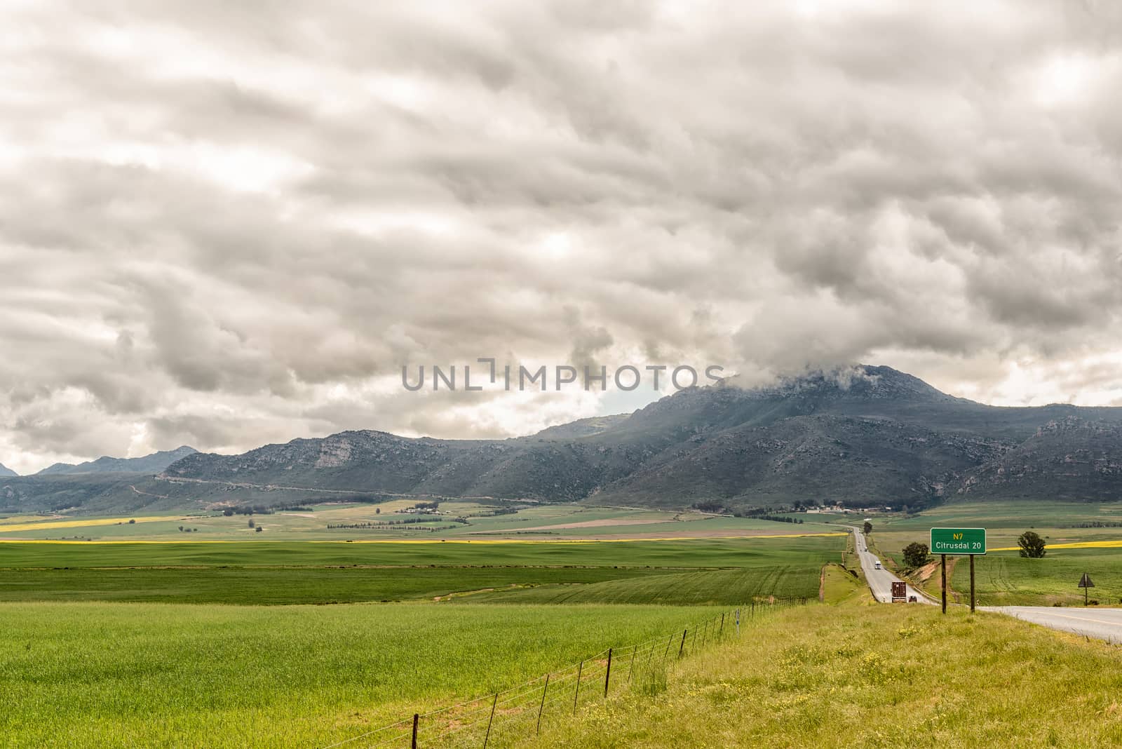
Directional sign on road N7 between Piketberg and Citrusdal
Stock PhotoUsername
dpreezgResolution
3595x2400pxDirectional sign on road N7 between Piketberg and Citrusdal
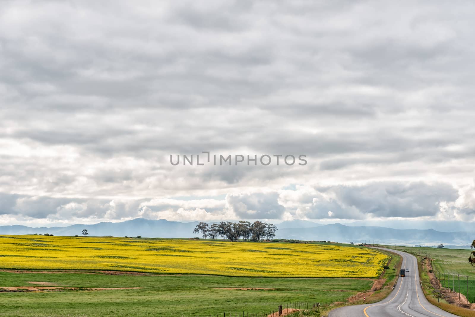
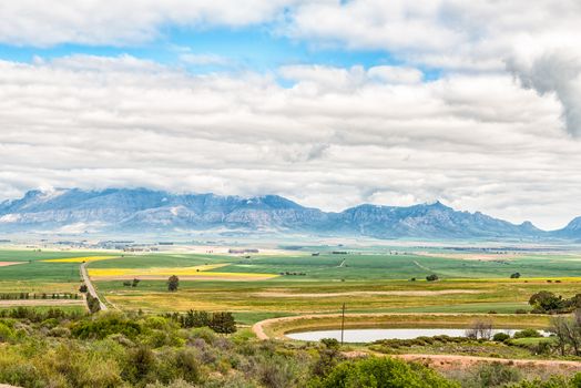
Canola fields along road N7 to the North of Piketberg
Stock PhotoUsername
dpreezgResolution
3595x2400pxCanola fields along road N7 to the North of Piketberg

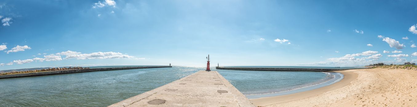
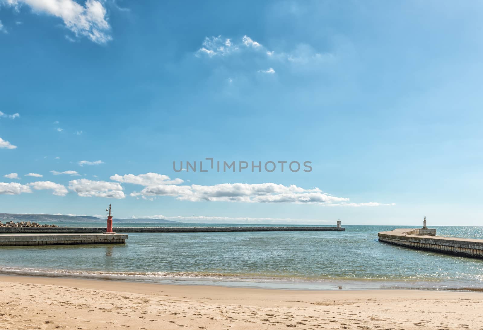
Harbor in the mouth of the Berg River in Laaiplek
Stock PhotoUsername
dpreezgResolution
9294x2400pxHarbor in the mouth of the Berg River in Laaiplek
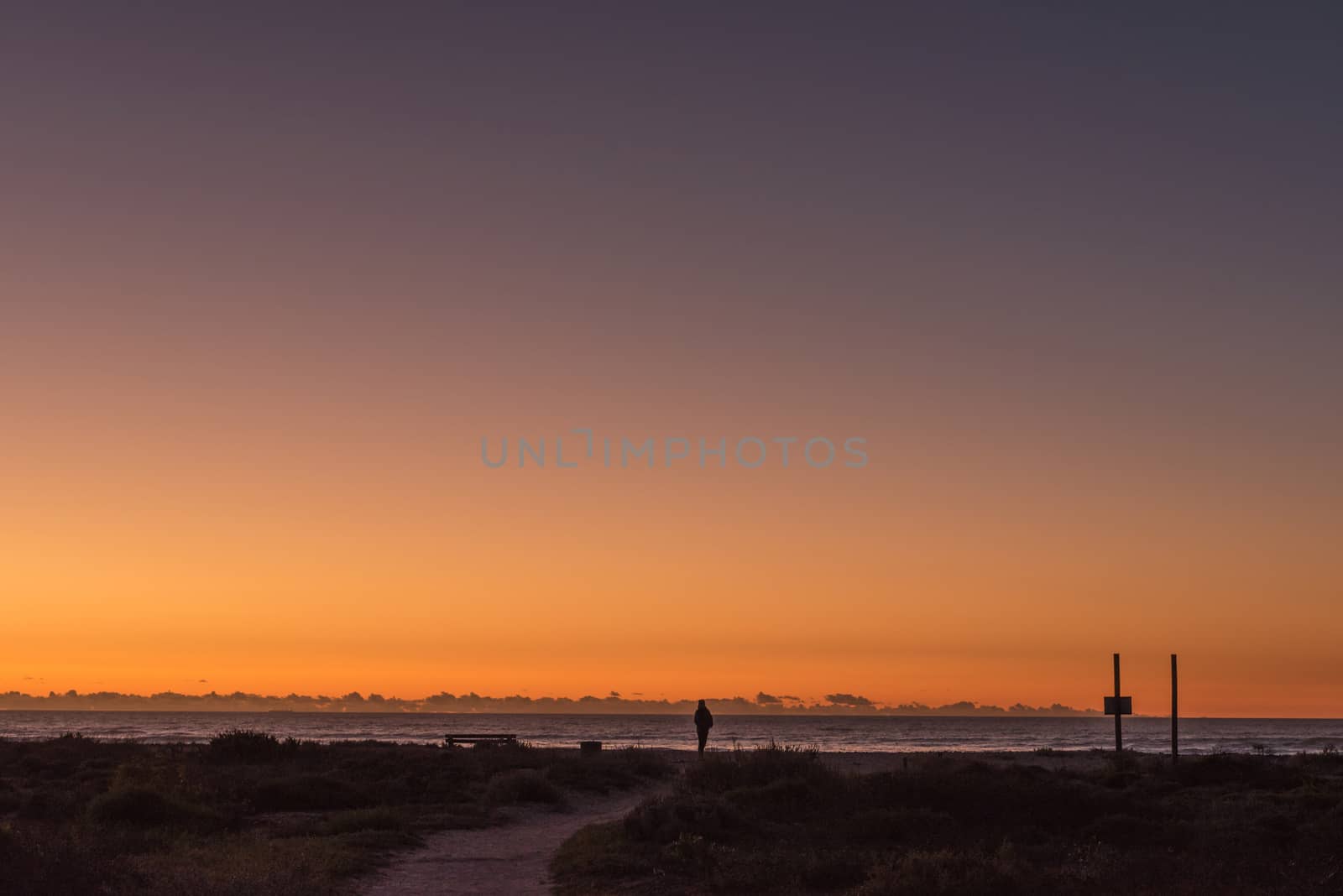
Sunset over the Atlantic Ocean at Dwarskersbos
Stock PhotoUsername
dpreezgResolution
3595x2400pxSunset over the Atlantic Ocean at Dwarskersbos
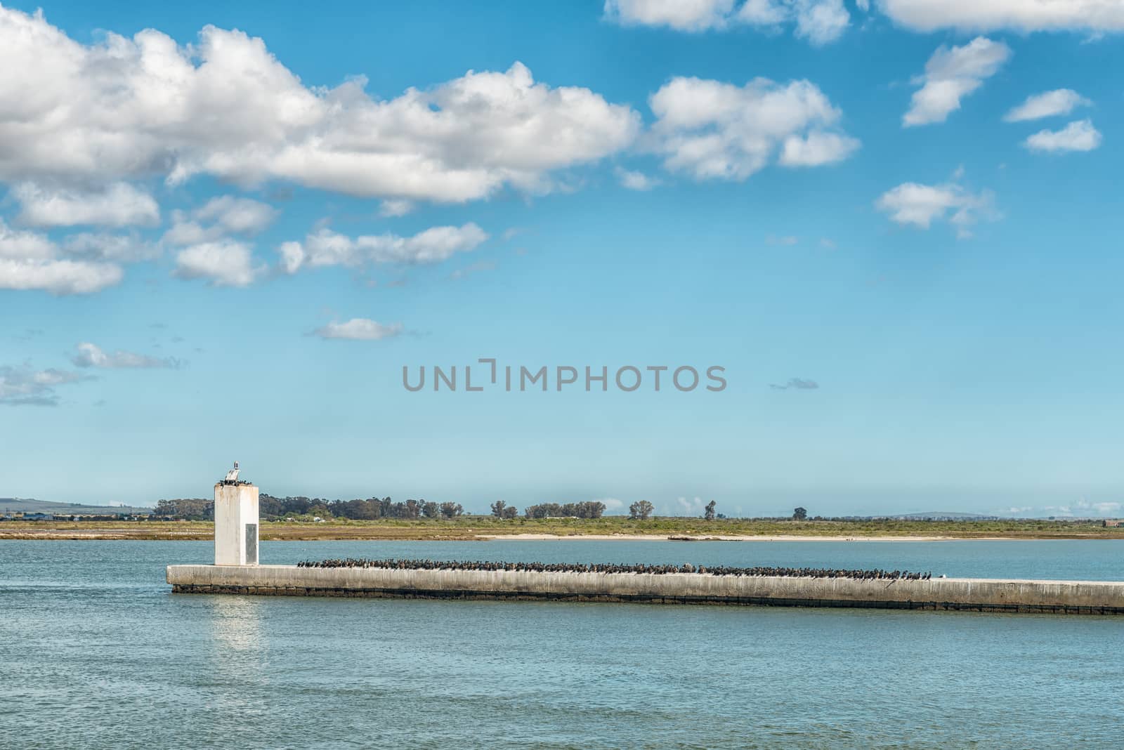
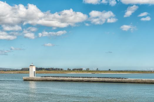
Cormorants at the mouth of the Berg River in Laaiplek
Stock PhotoUsername
dpreezgResolution
3595x2400pxCormorants at the mouth of the Berg River in Laaiplek
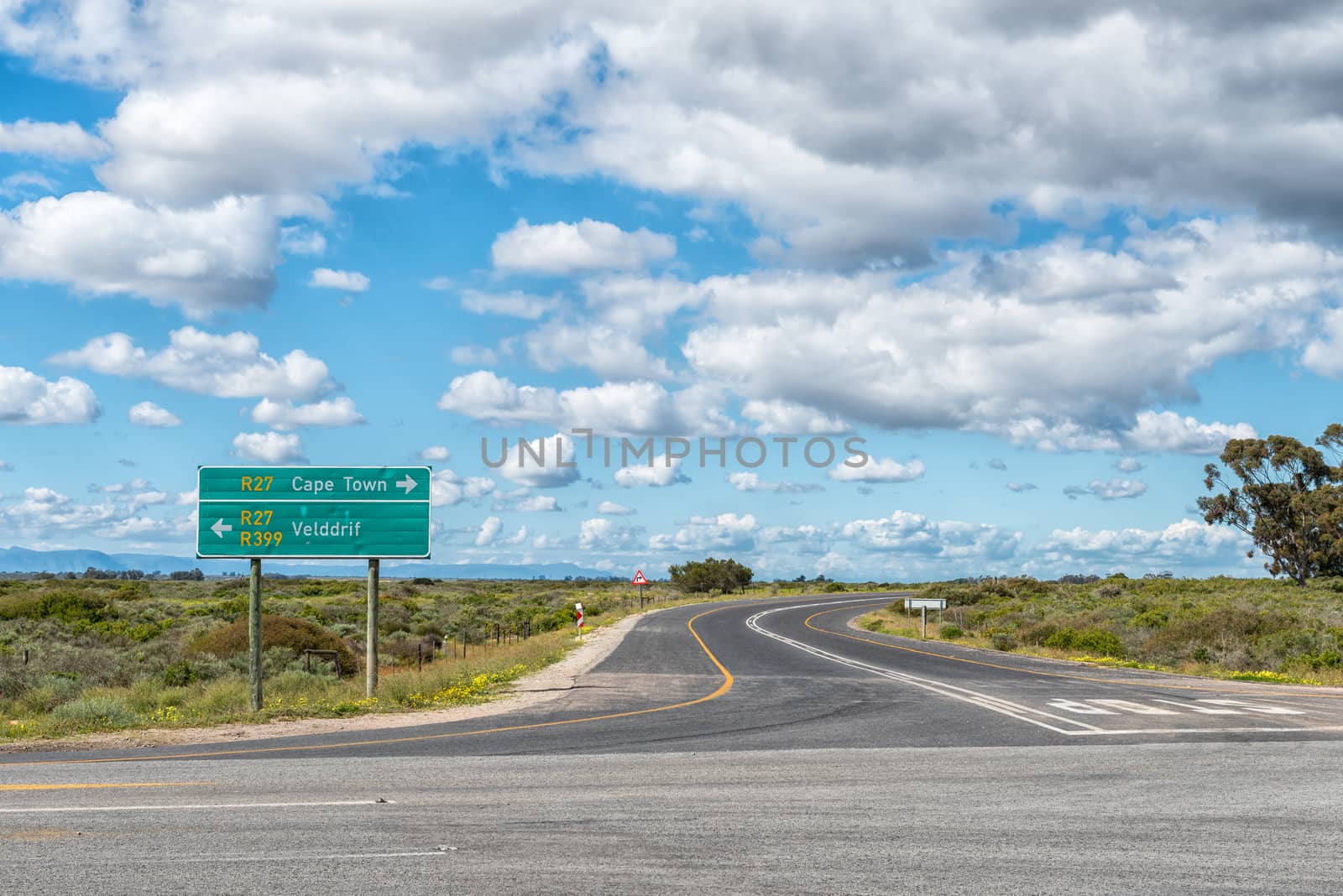
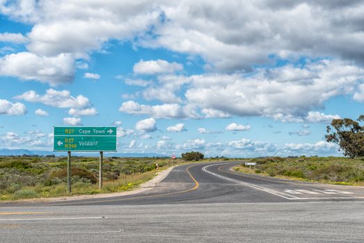
Junction between roads R399 and R27 near Velddrif
Stock PhotoUsername
dpreezgResolution
3595x2400pxJunction between roads R399 and R27 near Velddrif
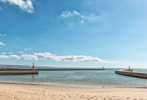
Harbor in the mouth of the Berg River in Laaiplek
Stock PhotoUsername
dpreezgResolution
3517x2400pxHarbor in the mouth of the Berg River in Laaiplek

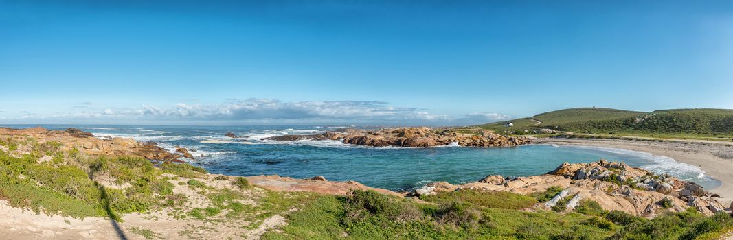
Panoramic view of Tietiesbaai at Cape Columbine near Paternoster
Stock PhotoUsername
dpreezgResolution
7313x2400pxPanoramic view of Tietiesbaai at Cape Columbine near Paternoster
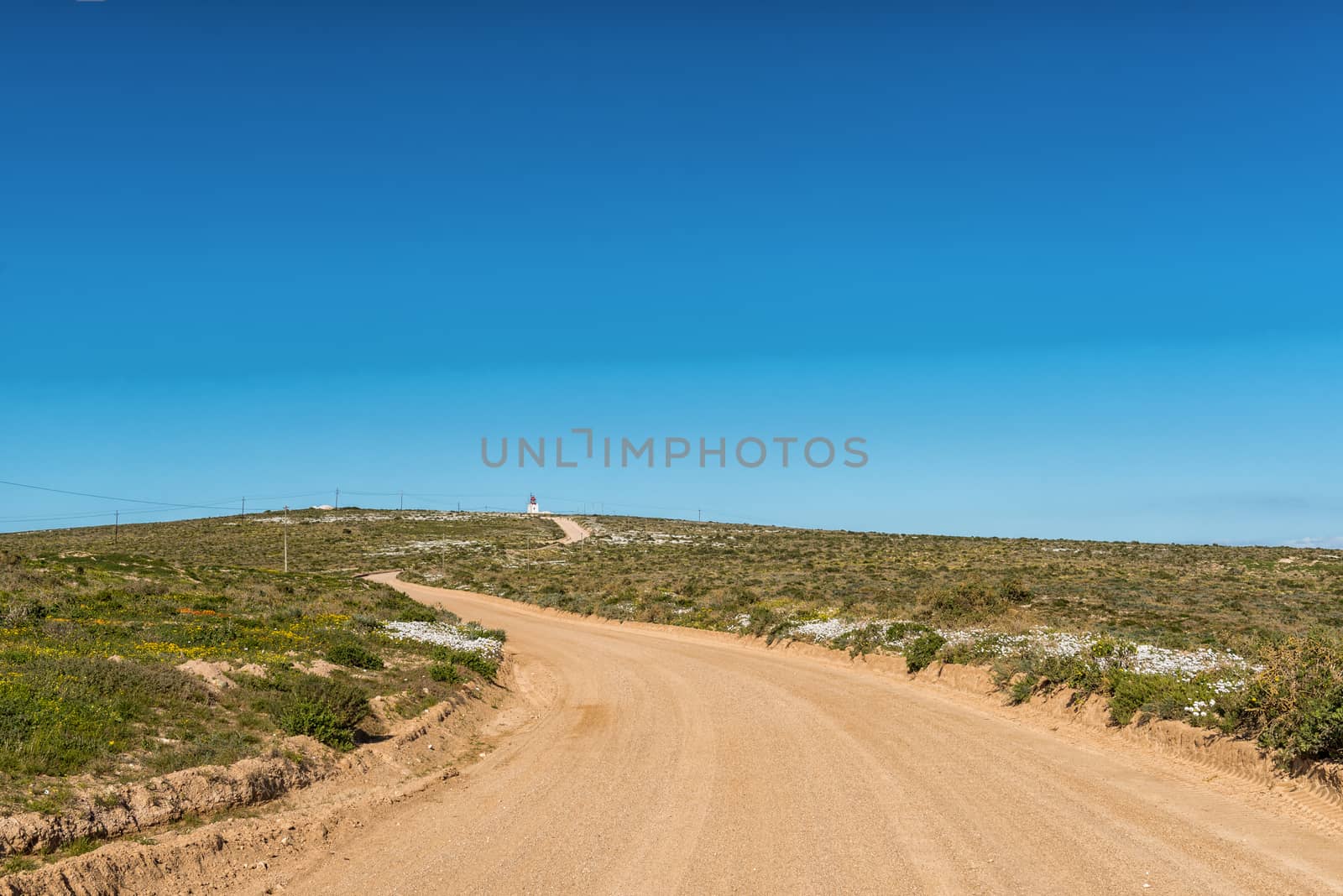
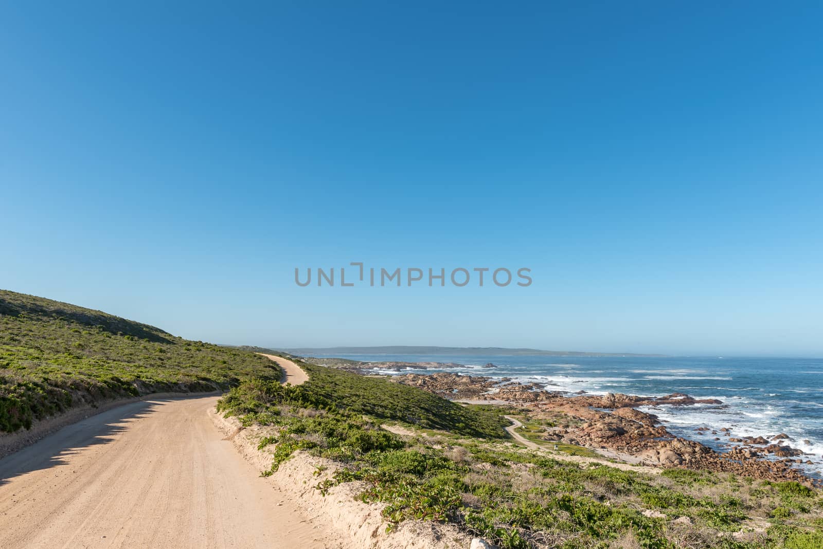
Road to Tietiesbaai near Paternoster. Wild flowers are visible
Stock PhotoUsername
dpreezgResolution
3595x2400pxRoad to Tietiesbaai near Paternoster. Wild flowers are visible

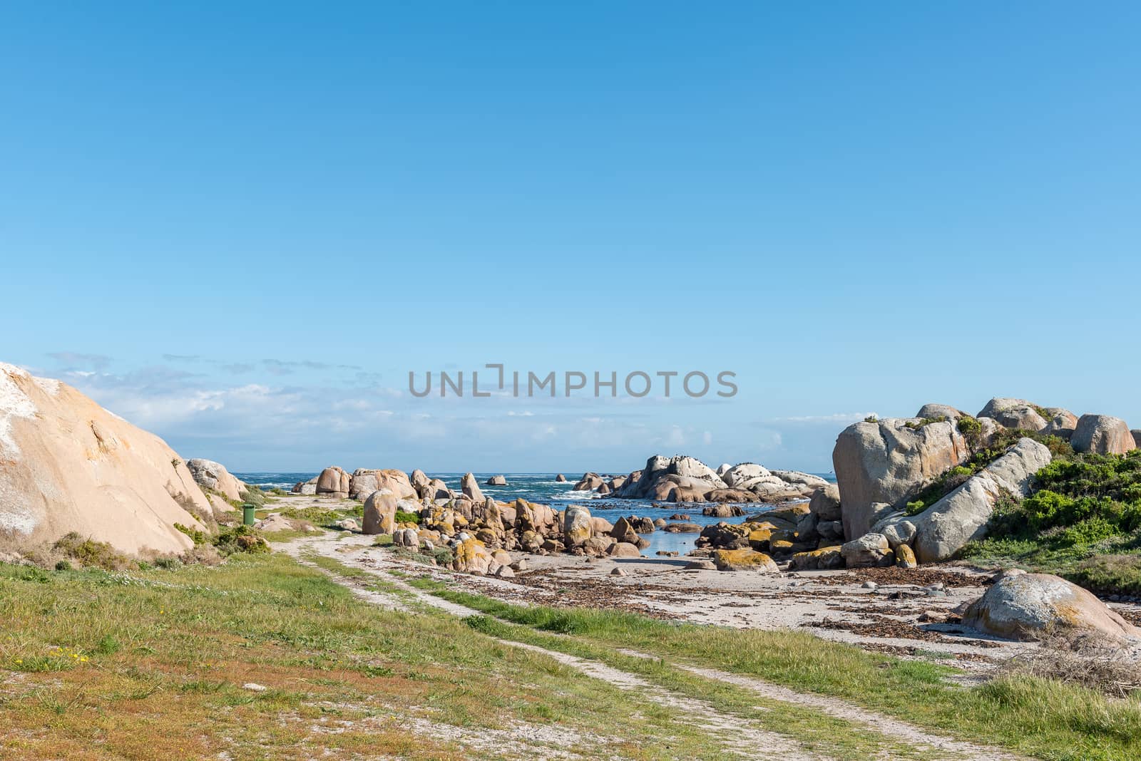
Picnic spot at Cape Columbine near Paternoster
Stock PhotoUsername
dpreezgResolution
3595x2400pxPicnic spot at Cape Columbine near Paternoster

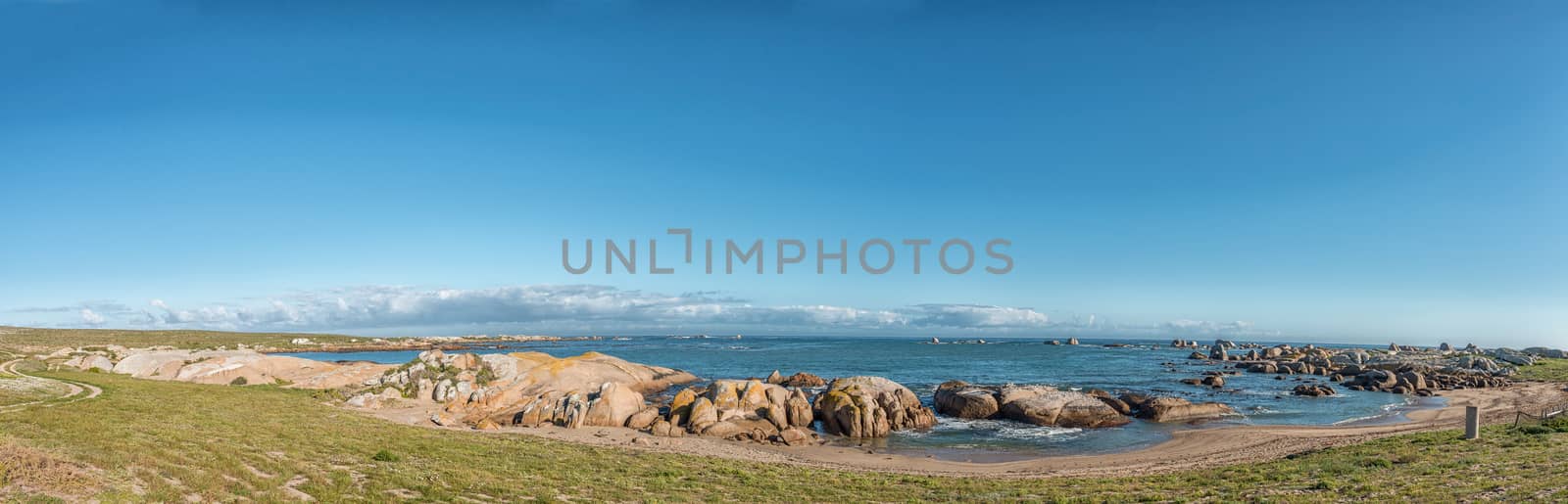
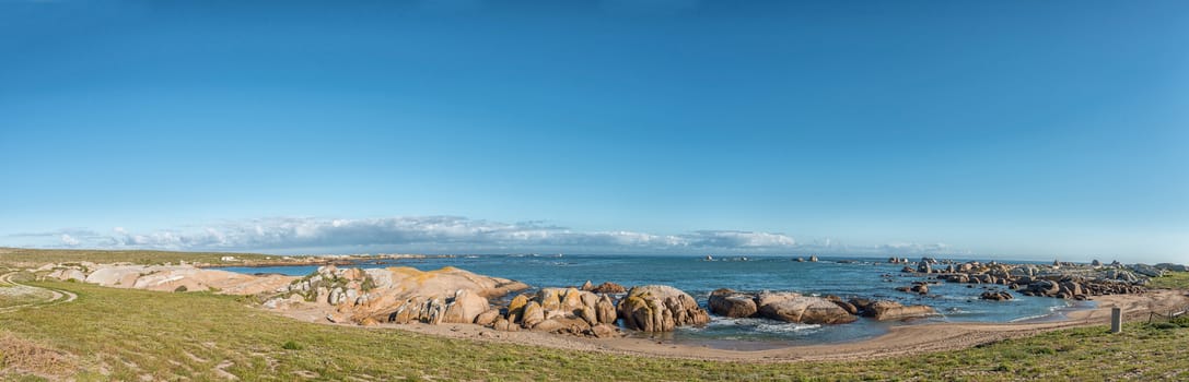
Seascape panorama near Tietiesbaai at Cape Columbine near Patern
Stock PhotoUsername
dpreezgResolution
7456x2400pxSeascape panorama near Tietiesbaai at Cape Columbine near Patern
Road to Tietiesbaai at Cape Columbine near Paternoster
Stock PhotoUsername
dpreezgResolution
3595x2400pxRoad to Tietiesbaai at Cape Columbine near Paternoster

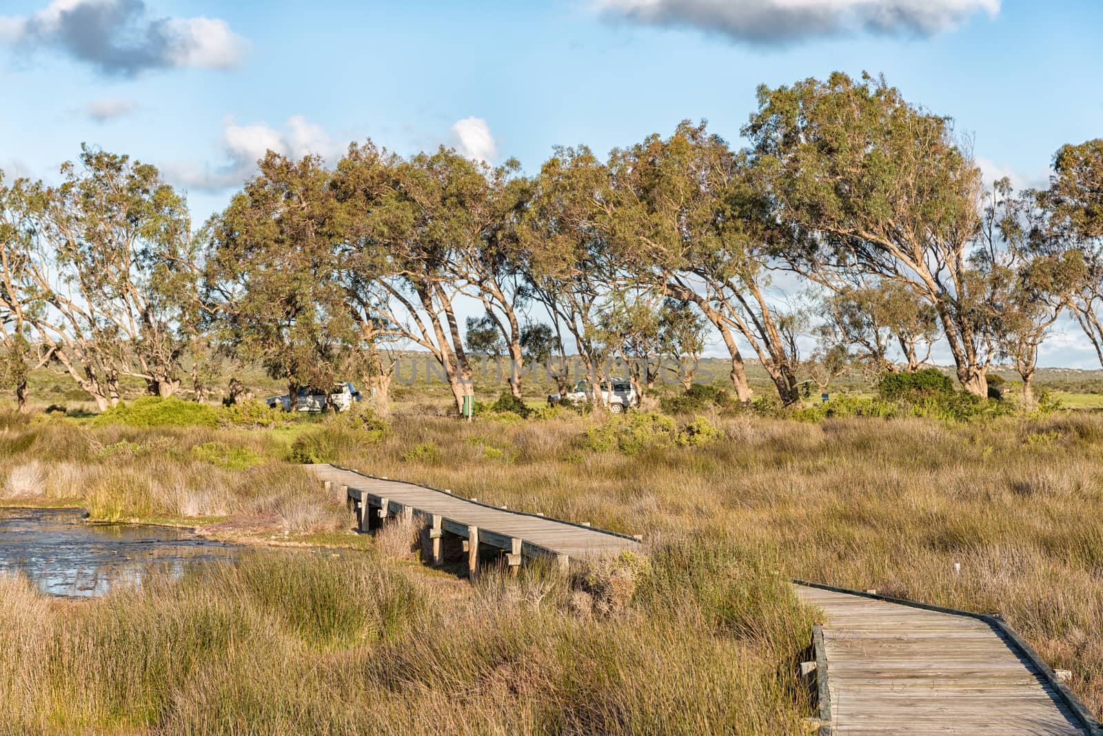
View from the Geelbek Bird Hide boardwalk
Stock PhotoUsername
dpreezgResolution
3595x2400pxView from the Geelbek Bird Hide boardwalk


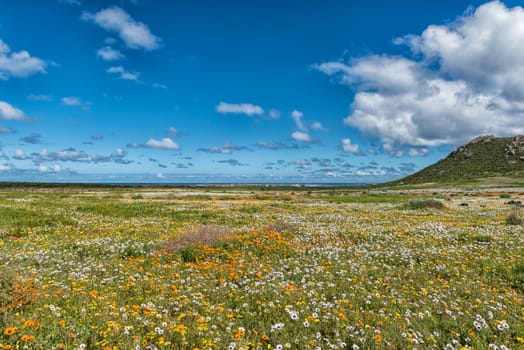
Wild flowers at Postberg near Langebaan on the Atlantic coast
Stock PhotoUsername
dpreezgResolution
3595x2400pxWild flowers at Postberg near Langebaan on the Atlantic coast
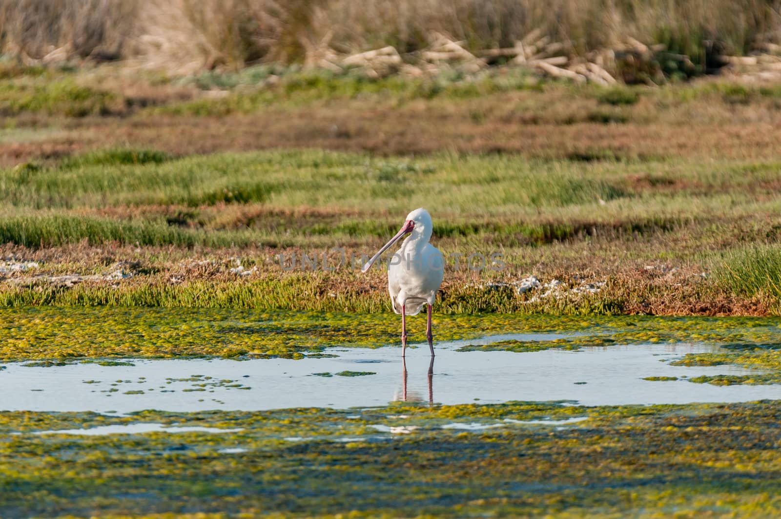
African spoonbill, Platalea alba, at the Geelbek Bird Hide
Stock PhotoUsername
dpreezgResolution
3161x2100pxAfrican spoonbill, Platalea alba, at the Geelbek Bird Hide
