- Filter By:
-
-
Stock photos and images of username:dpreezg

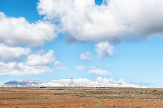
Farm landscape on road R46. Snow on Matroosberg is visible
Stock PhotoUsername
dpreezgResolution
3595x2400pxFarm landscape on road R46. Snow on Matroosberg is visible

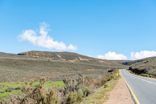
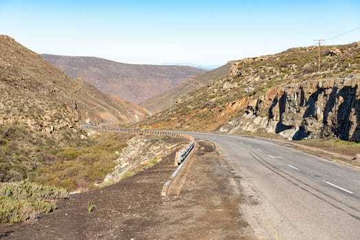
Hottentotskloof Pass on road R46 near Ceres
Stock PhotoUsername
dpreezgResolution
3595x2400pxHottentotskloof Pass on road R46 near Ceres
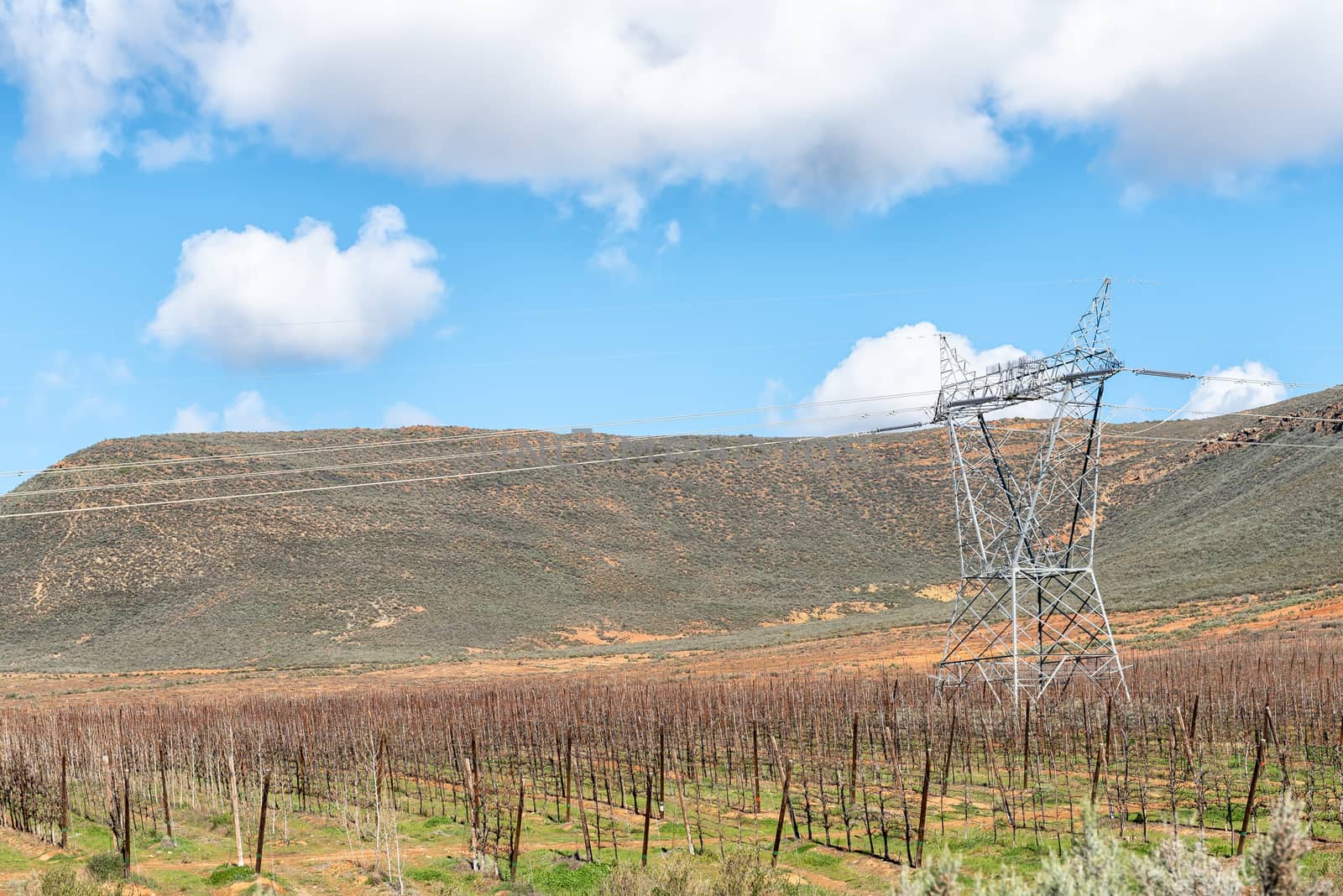
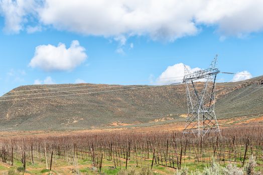
Espalier fruit trees and electricity infrastructure
Stock PhotoUsername
dpreezgResolution
3595x2400pxEspalier fruit trees and electricity infrastructure
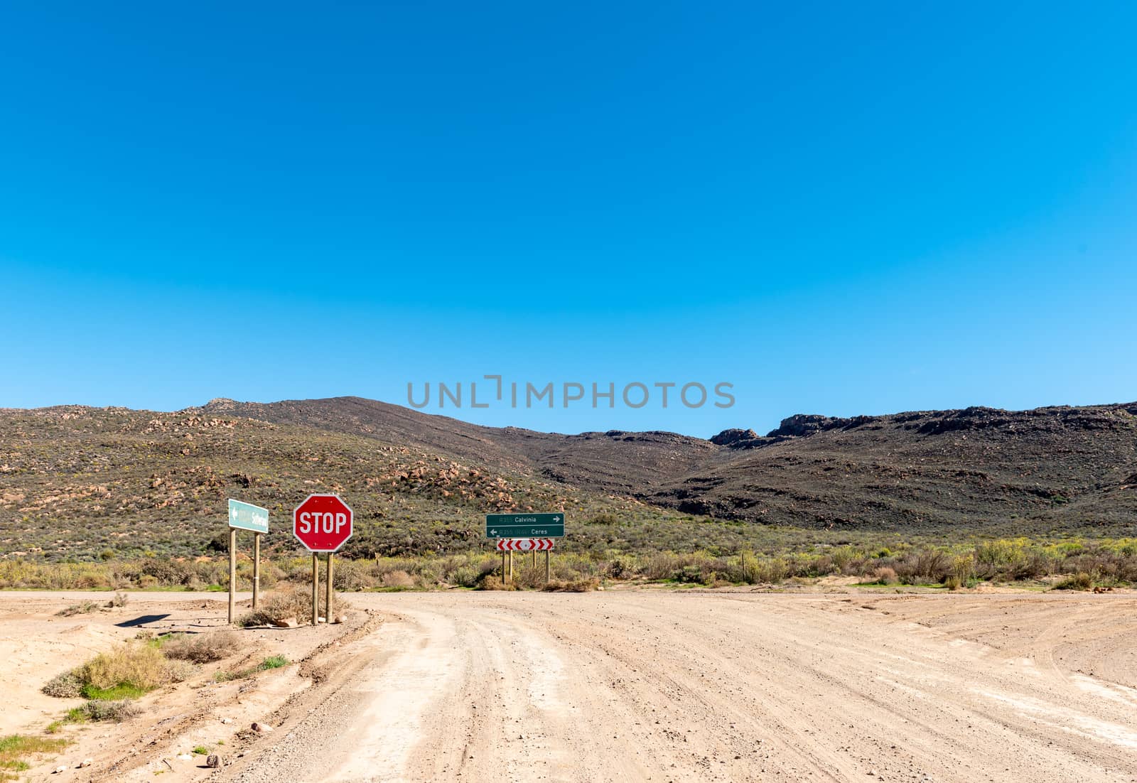
T-junction between roads R356 and R355
Stock PhotoUsername
dpreezgResolution
3486x2400pxT-junction between roads R356 and R355

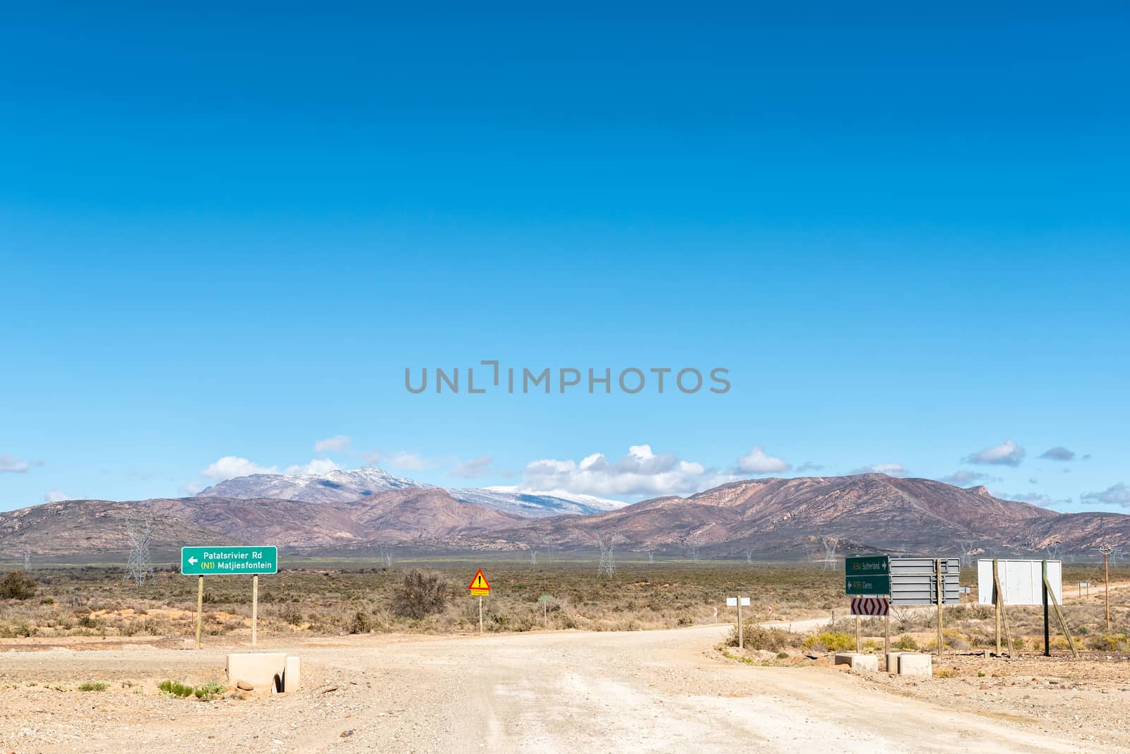
Road R356 to Ceres. Snow is visible on Matroosberg
Stock PhotoUsername
dpreezgResolution
3595x2400pxRoad R356 to Ceres. Snow is visible on Matroosberg
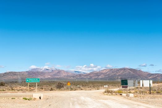
Road R356 to Ceres. Snow is visible on Matroosberg
Stock PhotoUsername
dpreezgResolution
3595x2400pxRoad R356 to Ceres. Snow is visible on Matroosberg
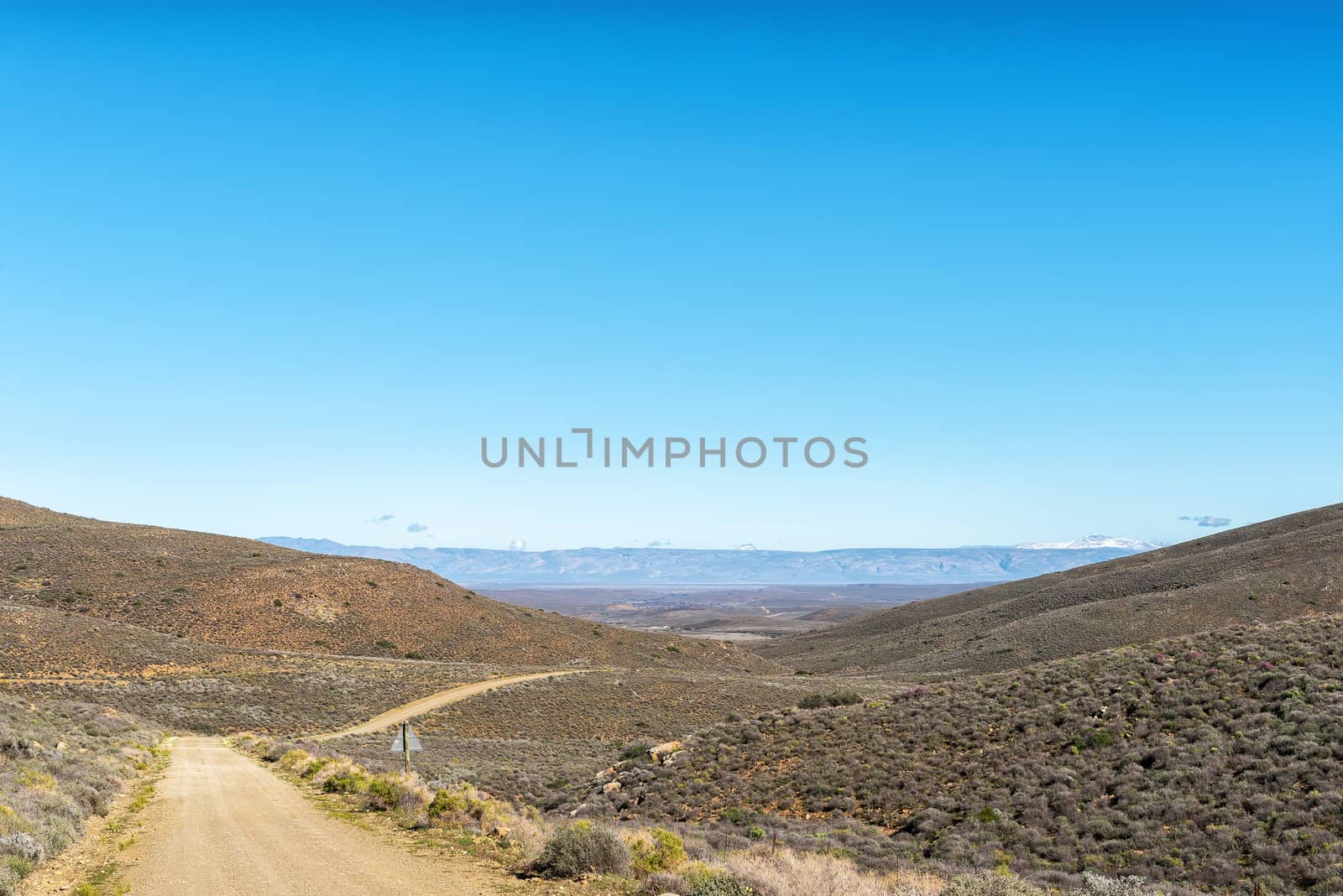
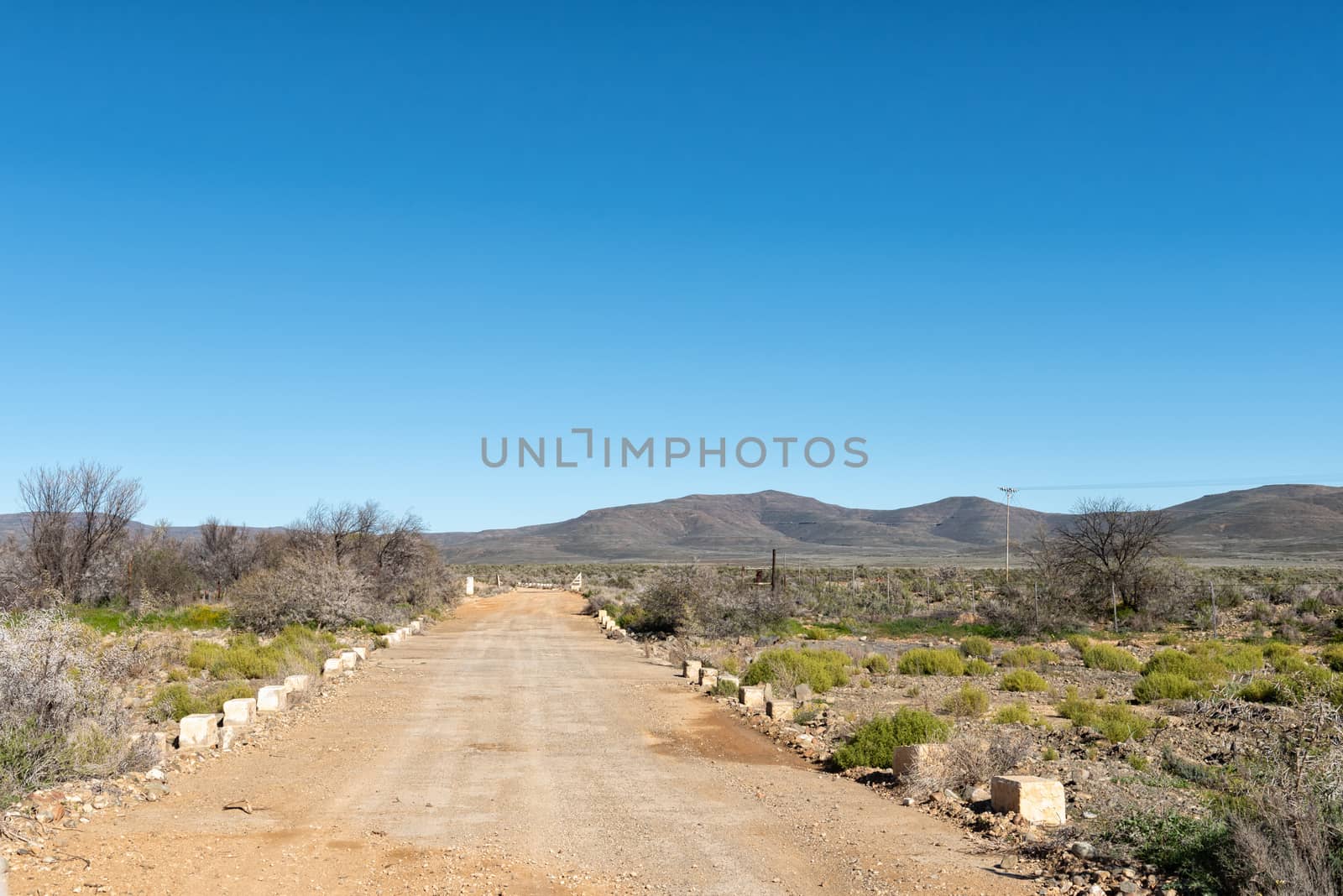
Farm landscape on road R356 to Ceres. Snow is visible
Stock PhotoUsername
dpreezgResolution
3146x2100pxFarm landscape on road R356 to Ceres. Snow is visible
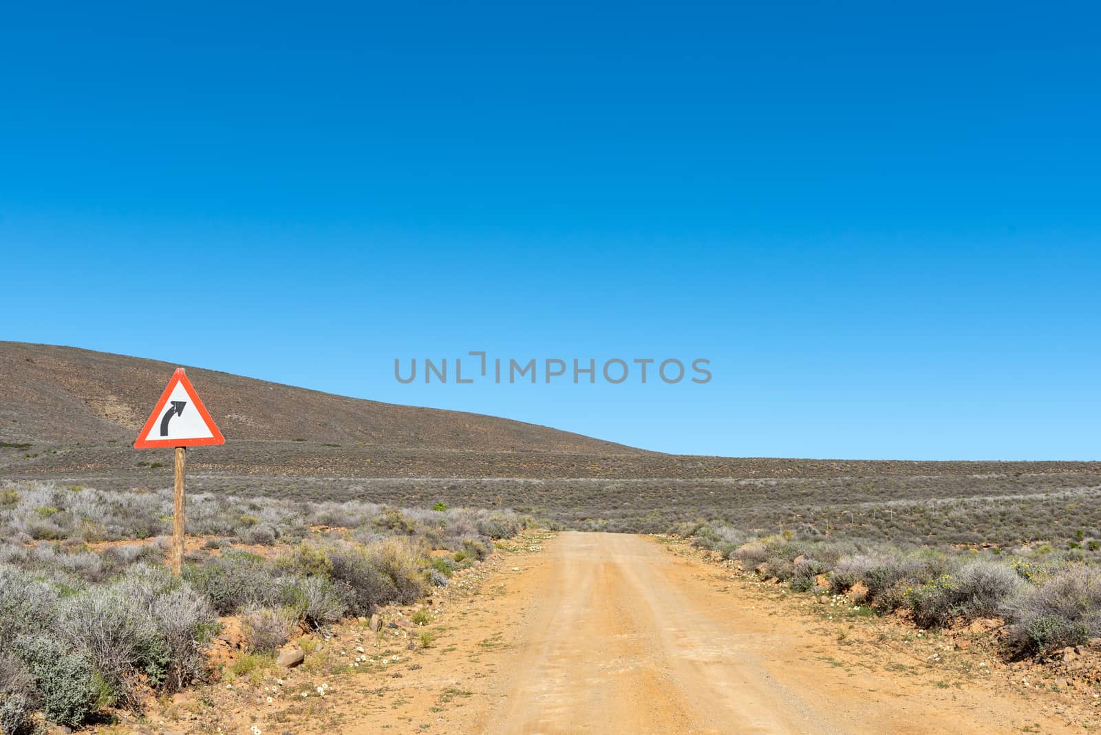
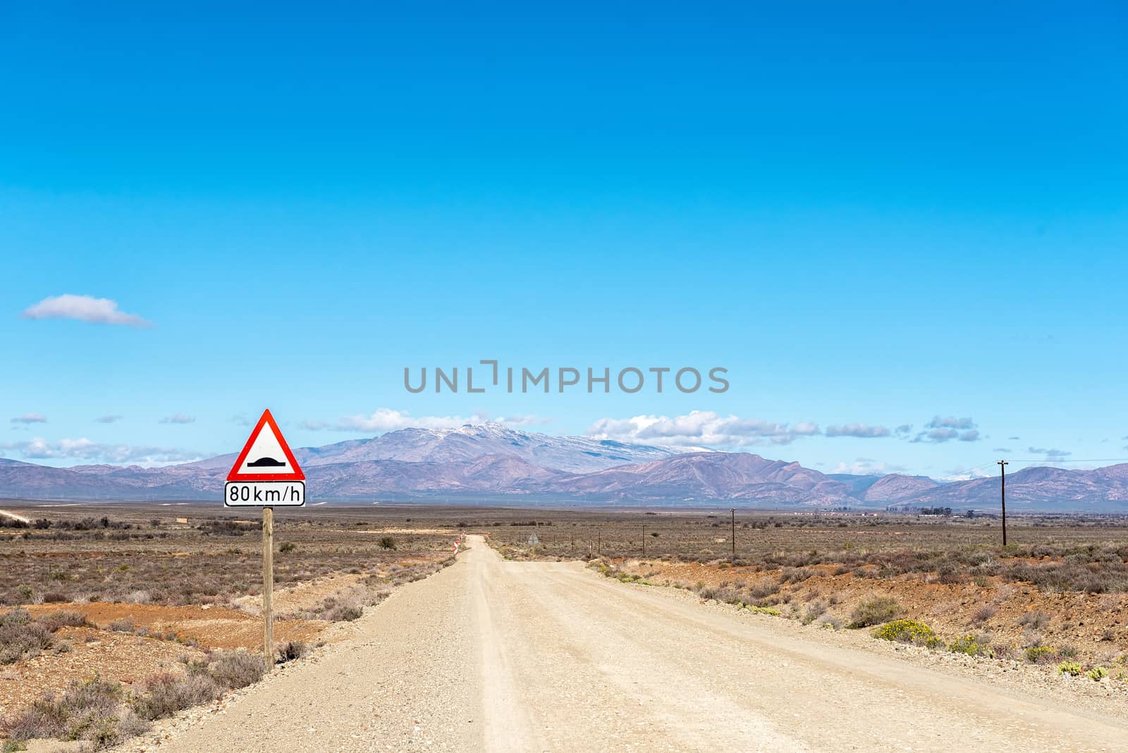
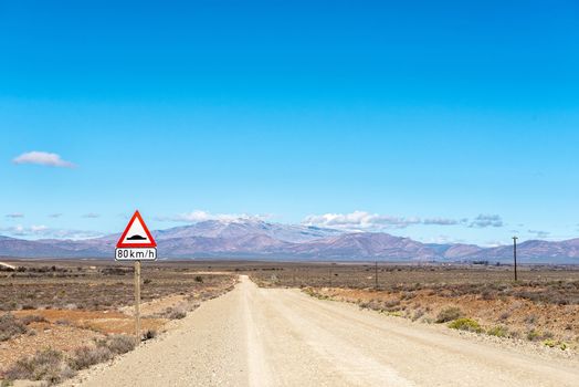
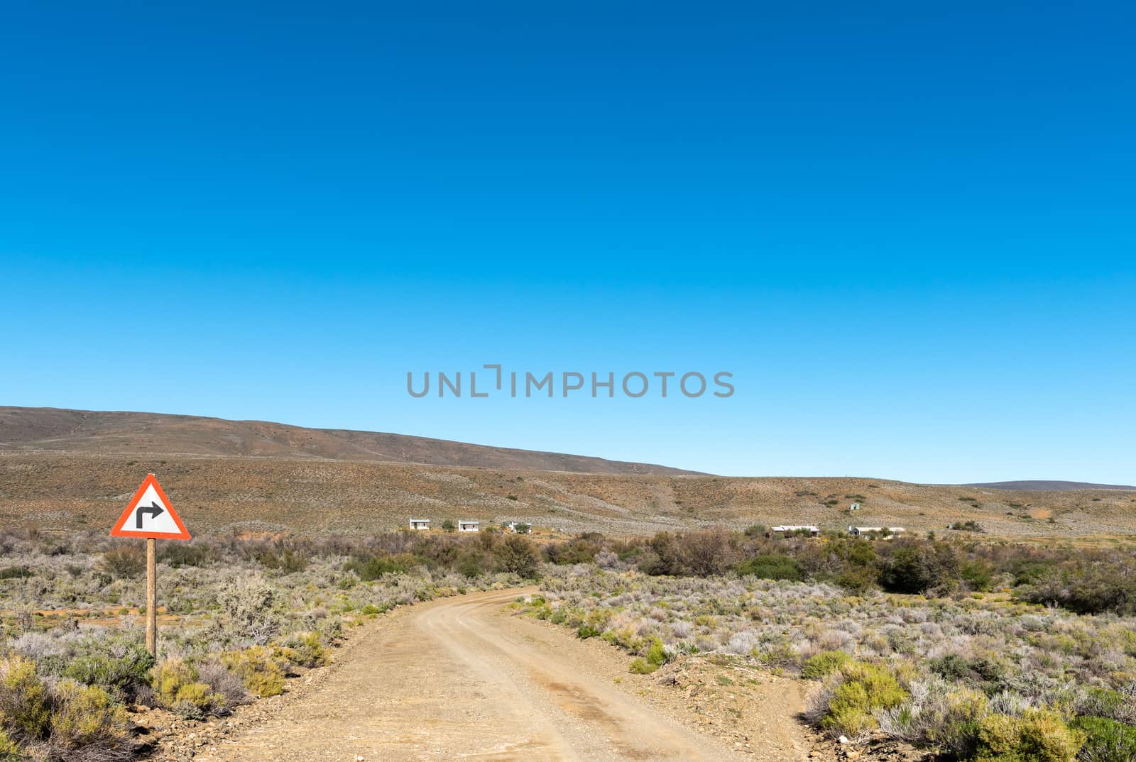
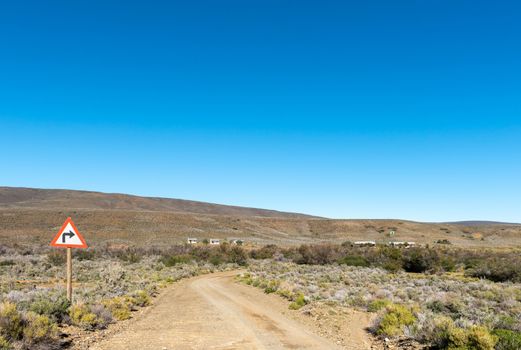
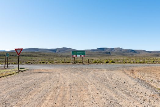
Landscape, with a road sign, on road R356 to Ceres
Stock PhotoUsername
dpreezgResolution
3595x2400pxLandscape, with a road sign, on road R356 to Ceres

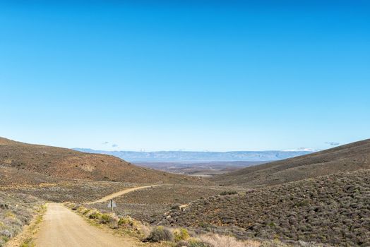
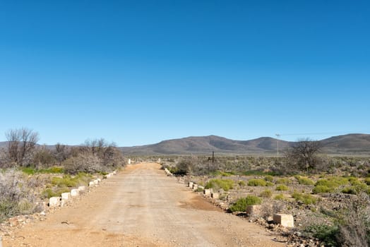
Landscape on road R356 to Ceres. Snow is visible
Stock PhotoUsername
dpreezgResolution
3146x2100pxLandscape on road R356 to Ceres. Snow is visible
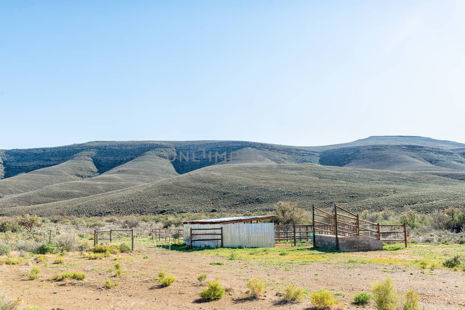
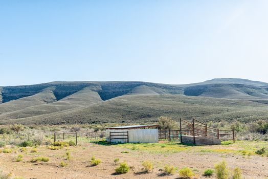
Livestock enclosures and loading ramp on road R356 to Ceres
Stock PhotoUsername
dpreezgResolution
3595x2400pxLivestock enclosures and loading ramp on road R356 to Ceres
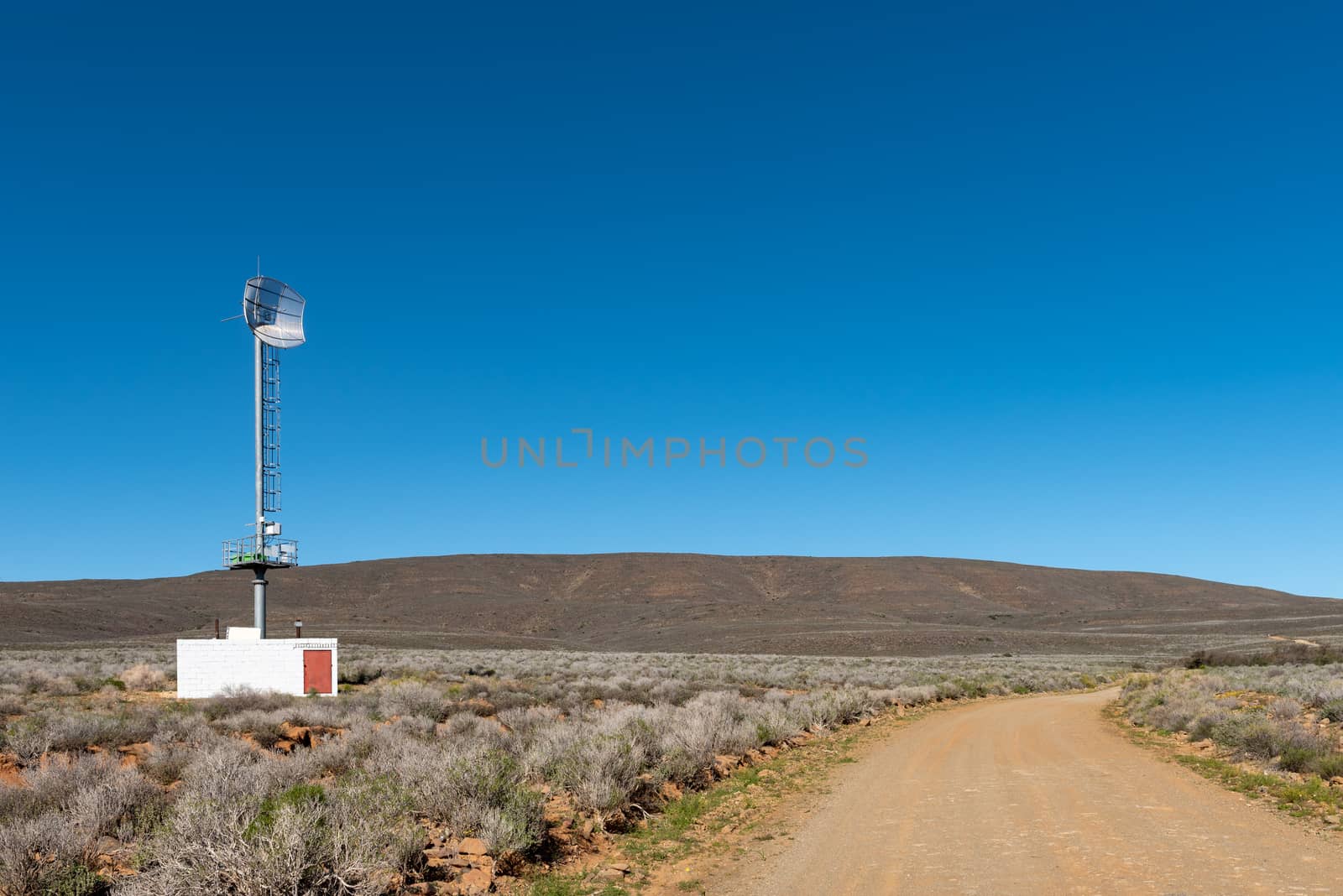
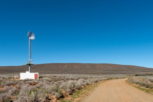
Telecommunications tower, on road R356 to Ceres
Stock PhotoUsername
dpreezgResolution
3595x2400pxTelecommunications tower, on road R356 to Ceres
Road sign and farm buildings on road R356 to Ceres
Stock PhotoUsername
dpreezgResolution
3574x2400pxRoad sign and farm buildings on road R356 to Ceres
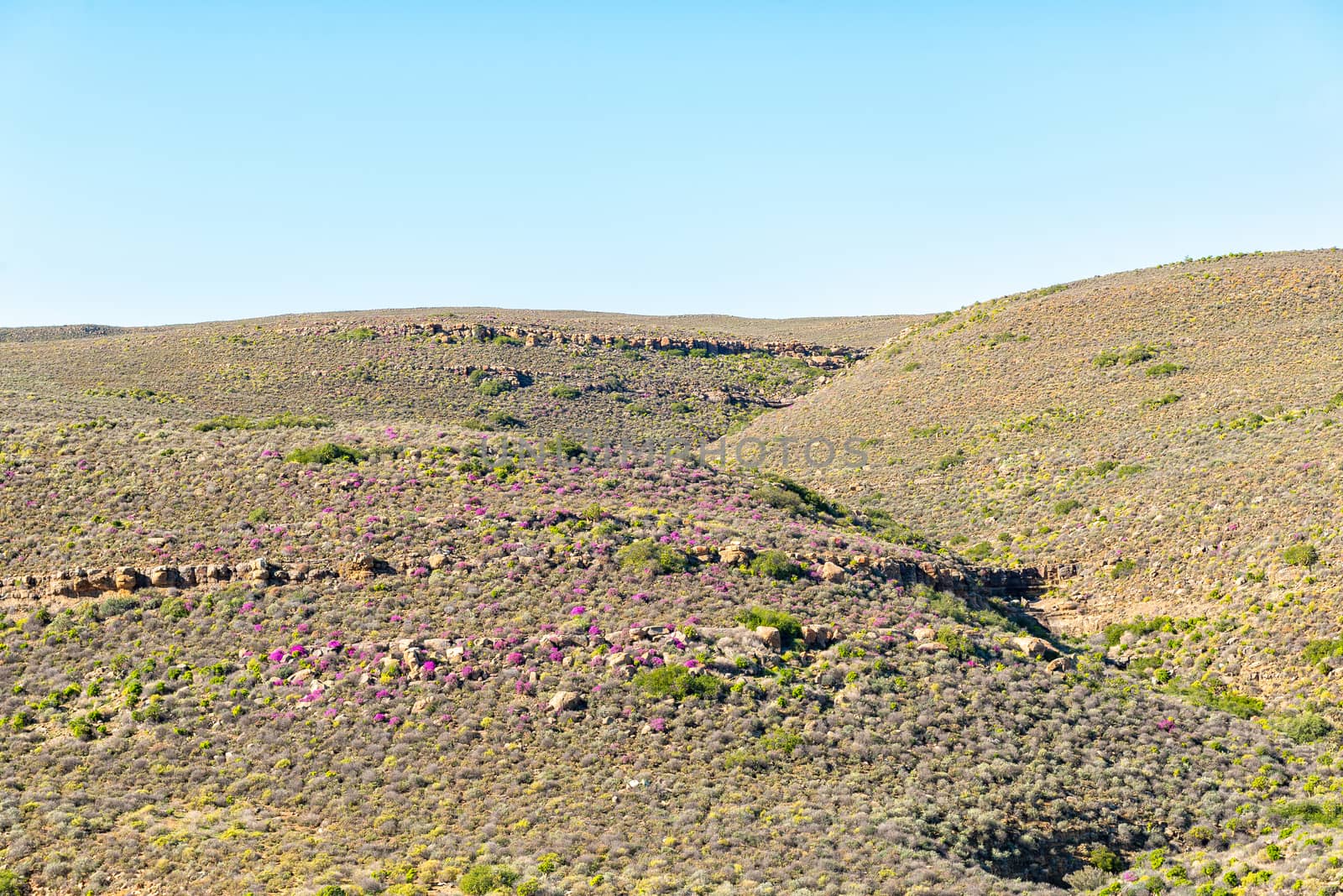
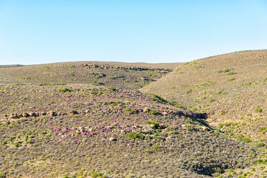
Purple flowers against a mountain on road R356 to Ceres
Stock PhotoUsername
dpreezgResolution
3595x2400pxPurple flowers against a mountain on road R356 to Ceres

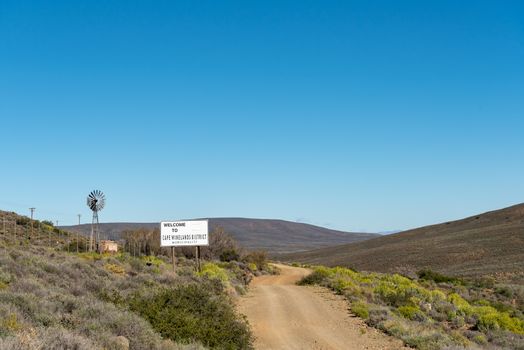
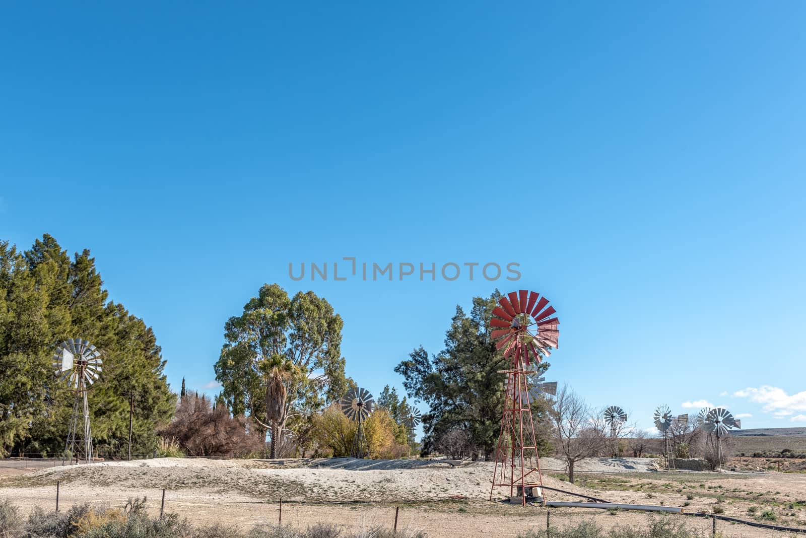
Welcome sign, windmill and dam on road R356 to Ceres
Stock PhotoUsername
dpreezgResolution
3595x2400pxWelcome sign, windmill and dam on road R356 to Ceres
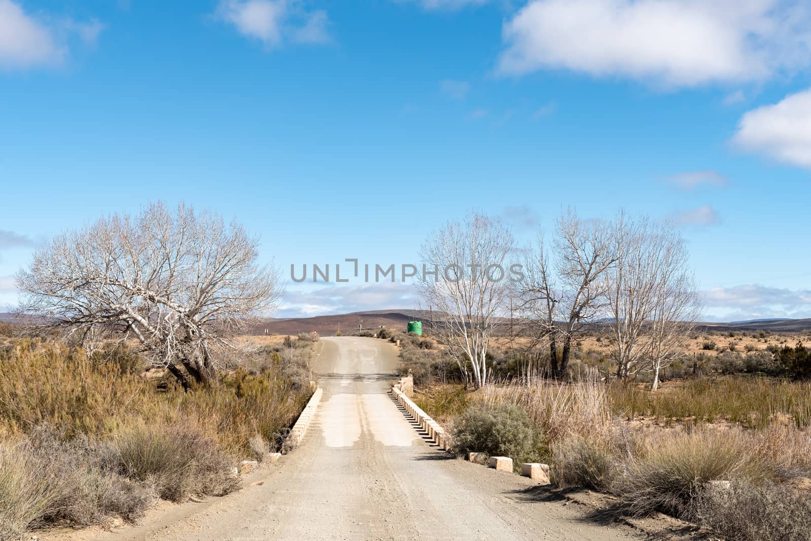
Low level bridge and cattle grid on road R356 to Ceres
Stock PhotoUsername
dpreezgResolution
3595x2400pxLow level bridge and cattle grid on road R356 to Ceres

Junctiion between roads R356 and R354 in the Northern Cape
Stock PhotoUsername
dpreezgResolution
3595x2400pxJunctiion between roads R356 and R354 in the Northern Cape
Picnic spot, with windmill and dam, on the Verlatenkloof Pass
Stock PhotoUsername
dpreezgResolution
3595x2400pxPicnic spot, with windmill and dam, on the Verlatenkloof Pass


Verlatenkloof Pass on road R354 to the South of Sutherland
Stock PhotoUsername
dpreezgResolution
3595x2400pxVerlatenkloof Pass on road R354 to the South of Sutherland

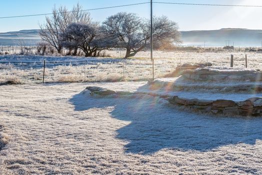
Heavy frost near Sutherland in the Northern Cape
Stock PhotoUsername
dpreezgResolution
3595x2400pxHeavy frost near Sutherland in the Northern Cape
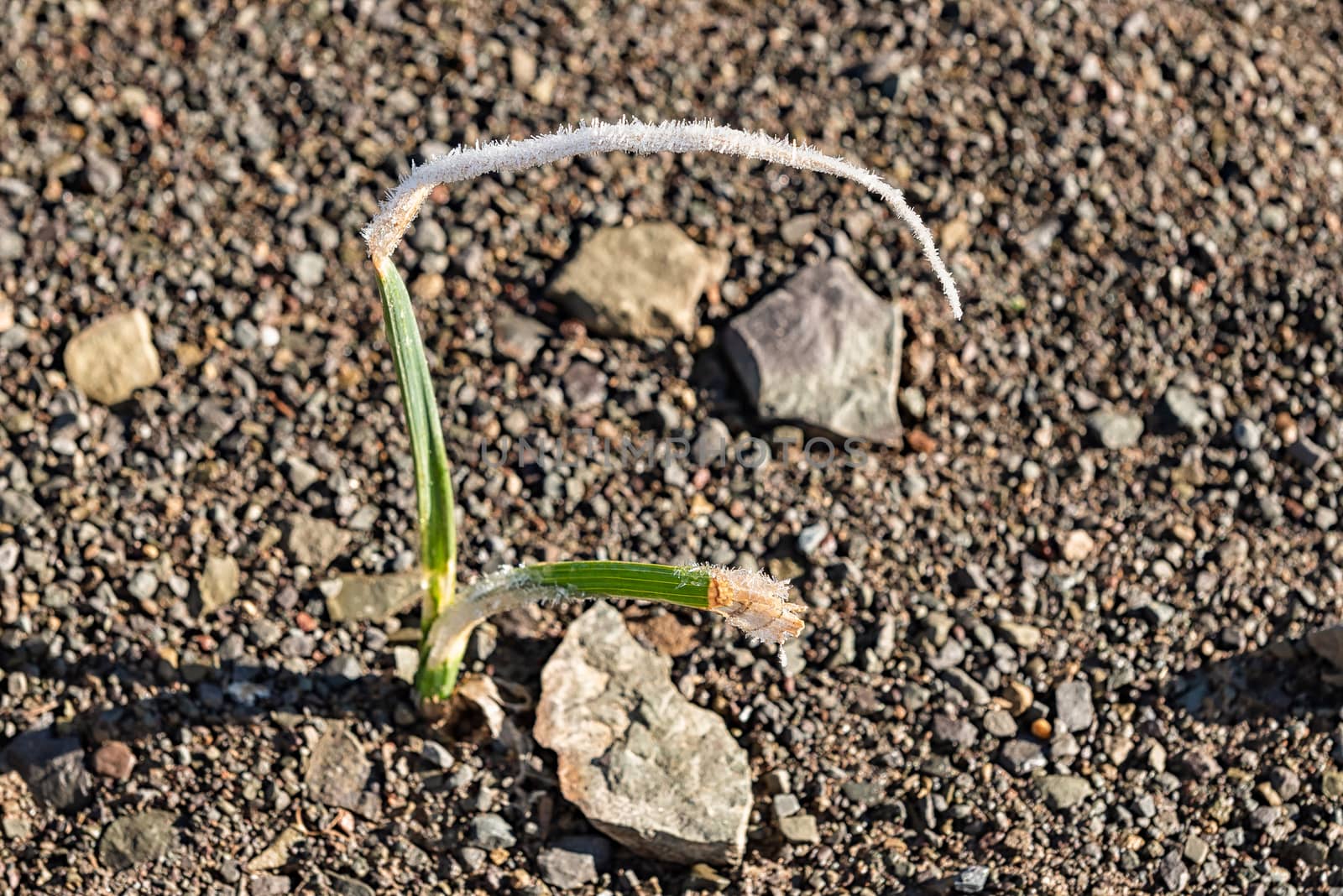
Bulbeous plant with frost on its leaves in Sutherland
Stock PhotoUsername
dpreezgResolution
3146x2100pxBulbeous plant with frost on its leaves in Sutherland


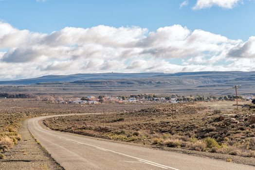
Road R356 with the town of Sutherland in the back
Stock PhotoUsername
dpreezgResolution
3595x2400pxRoad R356 with the town of Sutherland in the back
Farm landscape on road R356 between Loxton and Fraserburg
Stock PhotoUsername
dpreezgResolution
3595x2400pxFarm landscape on road R356 between Loxton and Fraserburg

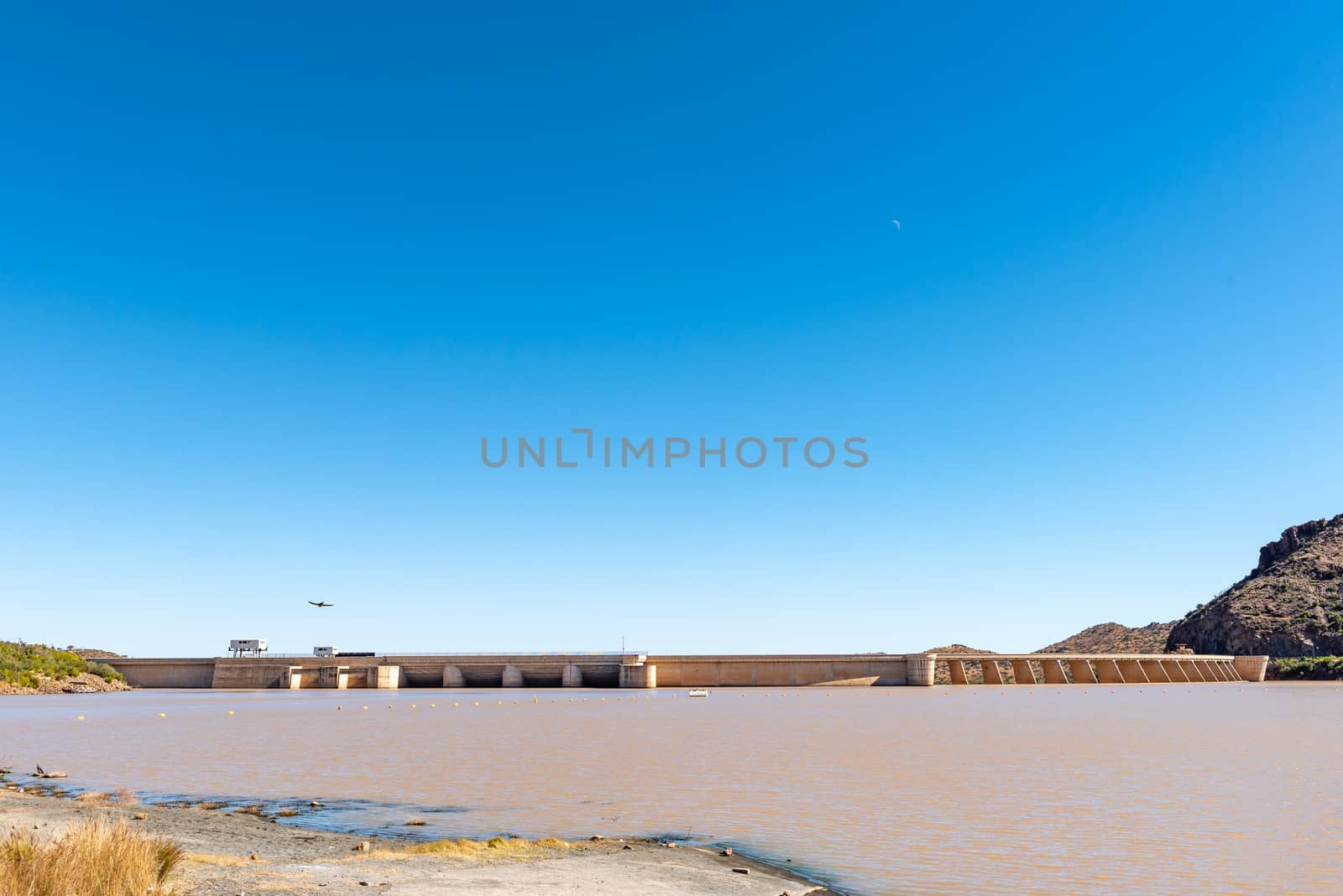
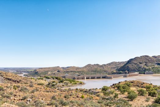
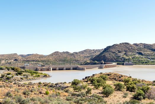
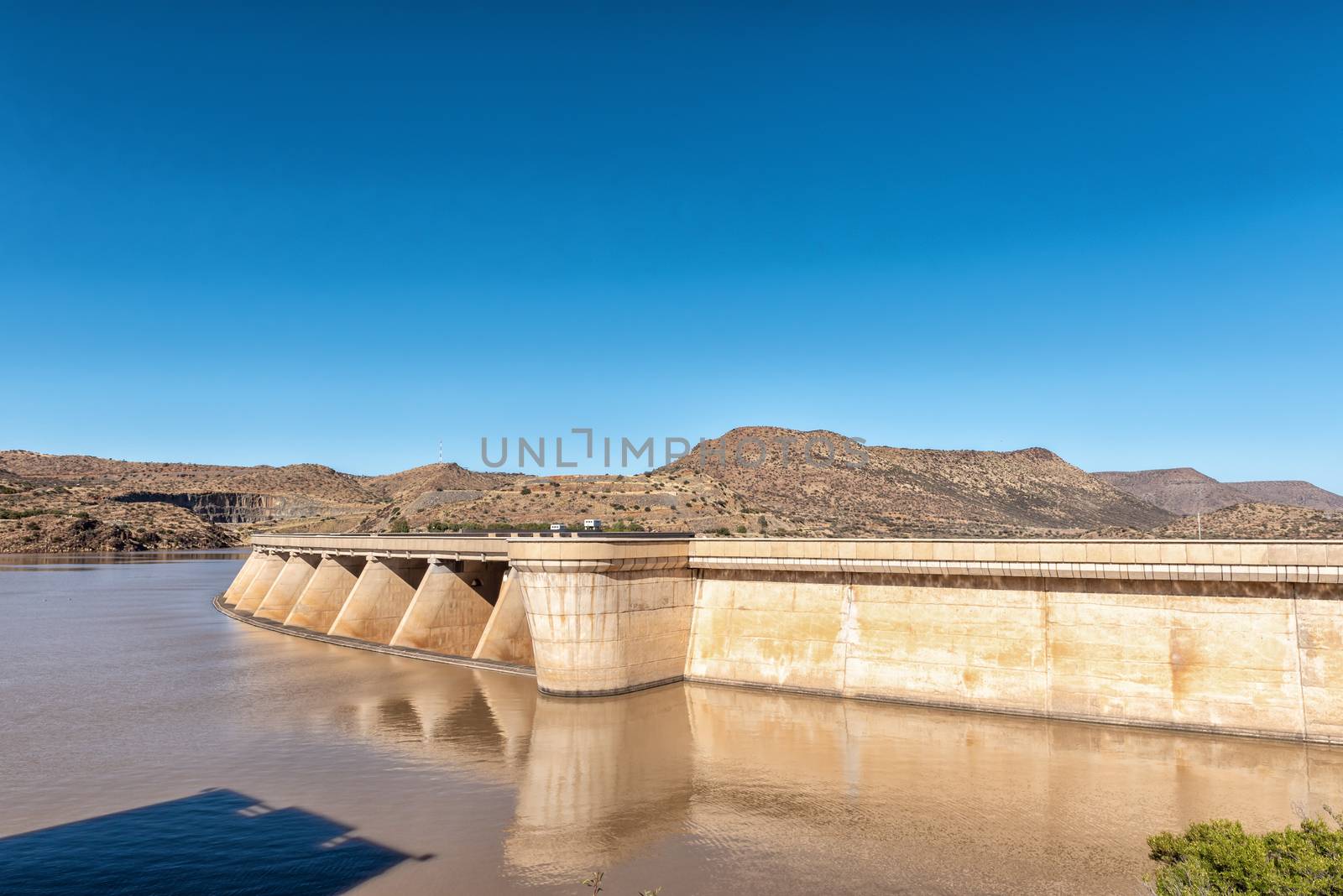
The Vanderkloof Dam in the Orange River
Stock PhotoUsername
dpreezgResolution
3595x2400pxThe Vanderkloof Dam in the Orange River
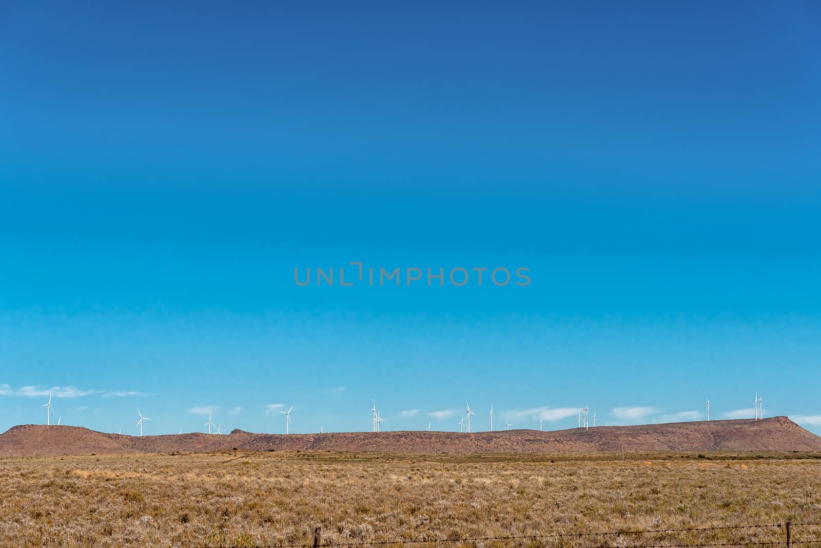
Wind turbines on a mountain near Phillipstown in the Northern Ca
Stock PhotoUsername
dpreezgResolution
3595x2400pxWind turbines on a mountain near Phillipstown in the Northern Ca

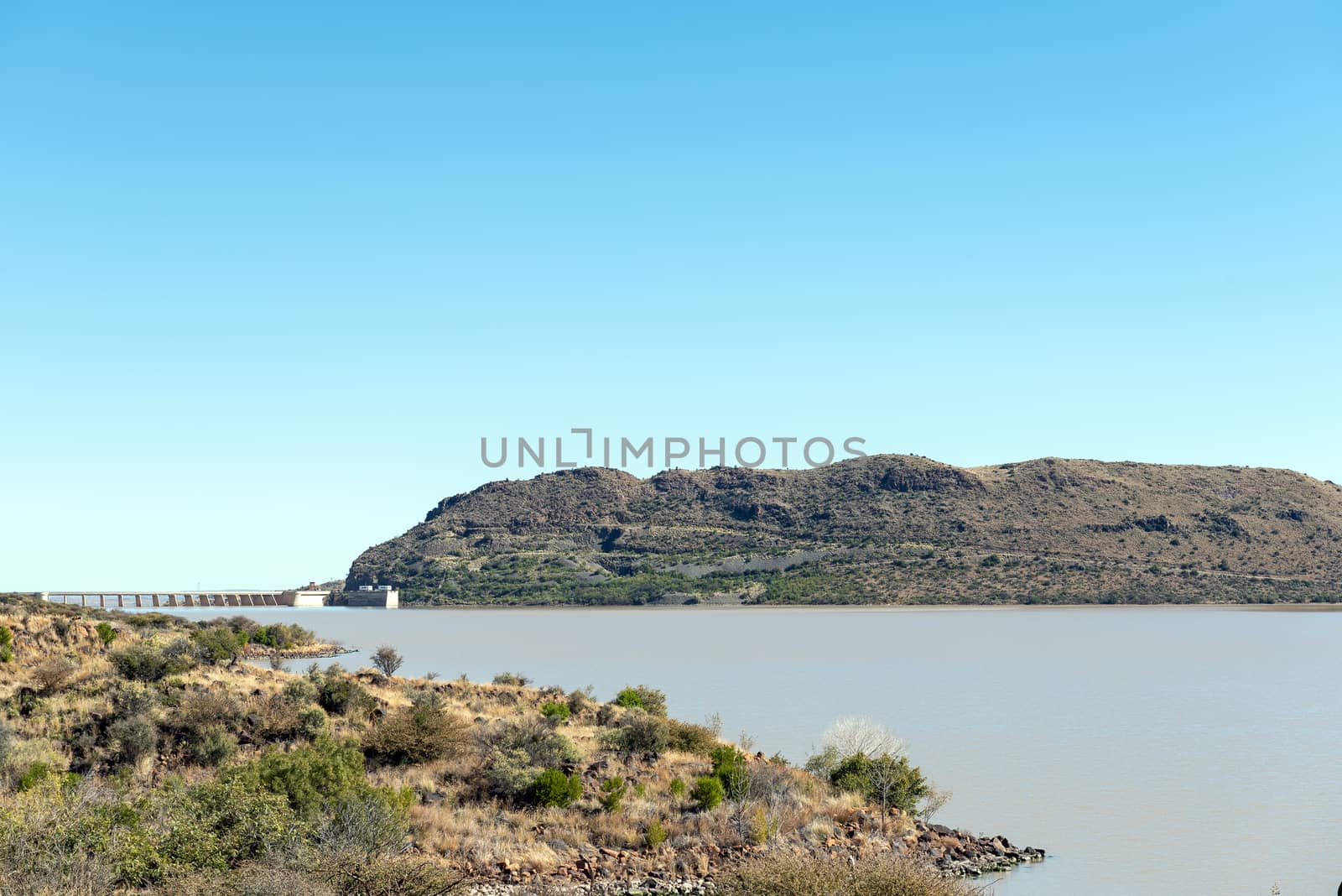
The Vanderkloof Dam in the Orange River
Stock PhotoUsername
dpreezgResolution
3595x2400pxThe Vanderkloof Dam in the Orange River
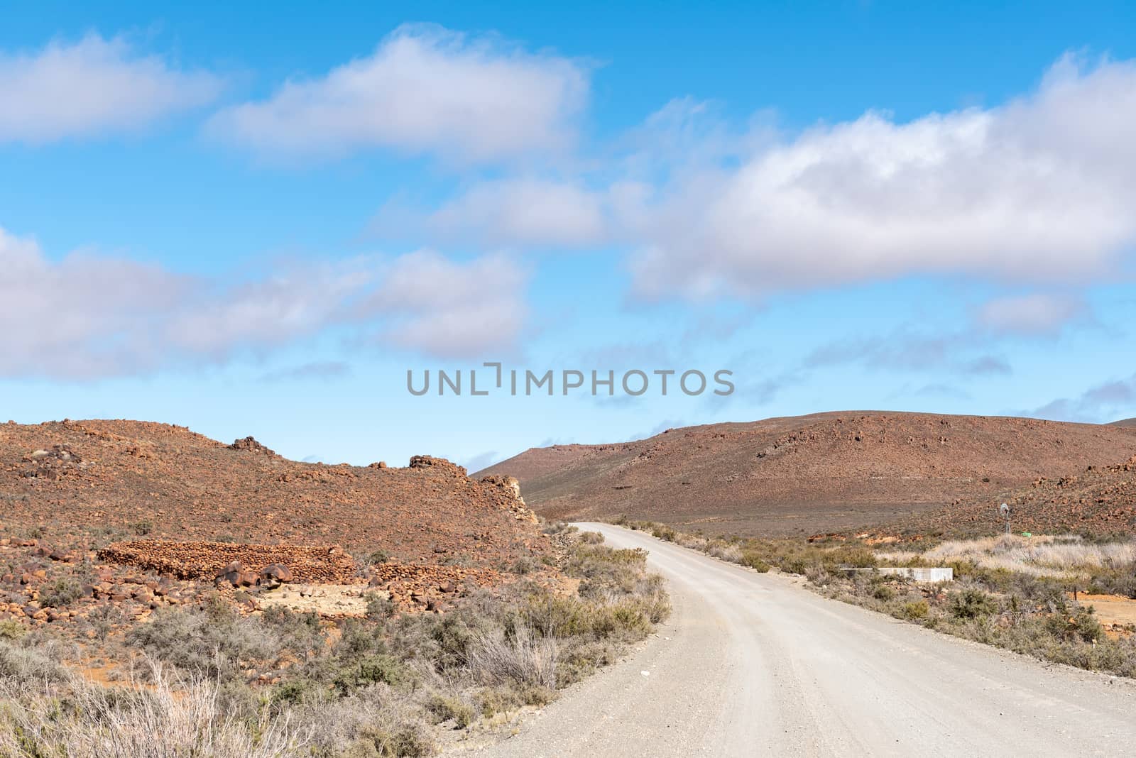
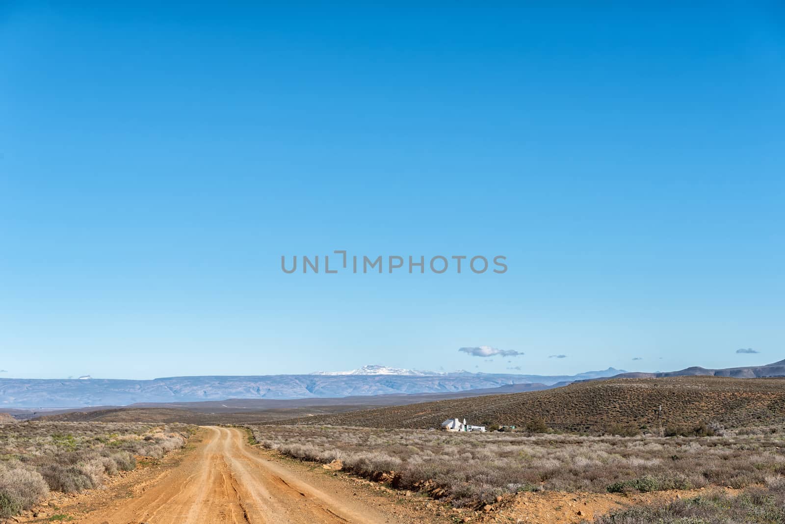
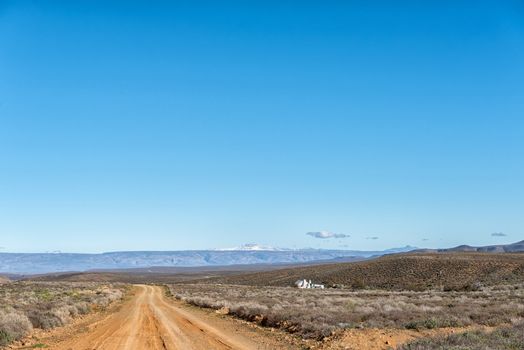
Farm landscape on road R356 between Fraserburg and Sutherland
Stock PhotoUsername
dpreezgResolution
3595x2400pxFarm landscape on road R356 between Fraserburg and Sutherland

Single lane road bridge between Fraserburg and Sutherland
Stock PhotoUsername
dpreezgResolution
3595x2400pxSingle lane road bridge between Fraserburg and Sutherland

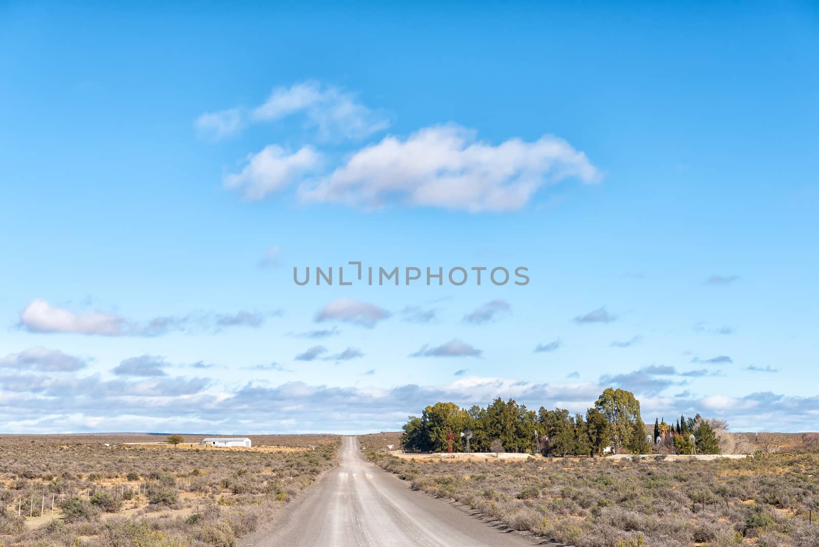
Farm landscape on road R356 between Loxton and Fraserburg
Stock PhotoUsername
dpreezgResolution
3595x2400pxFarm landscape on road R356 between Loxton and Fraserburg

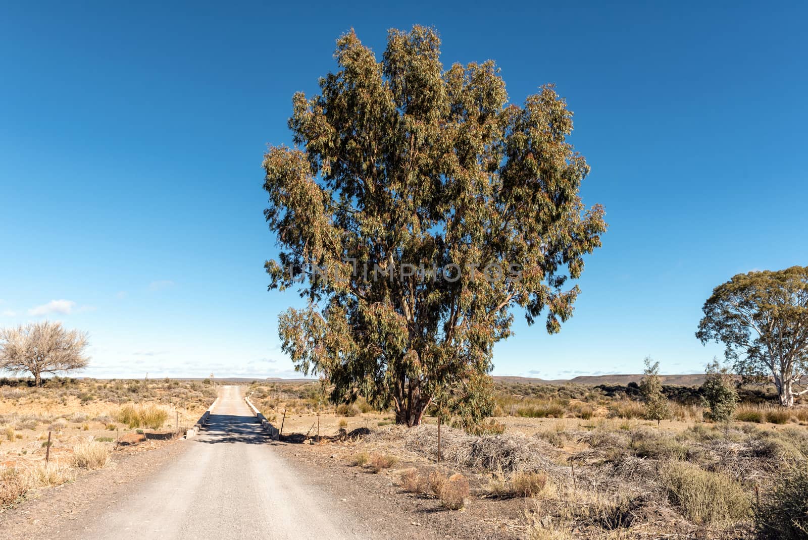
Bridge over the Sak River on road R356 near Fraserburg
Stock PhotoUsername
dpreezgResolution
3590x2400pxBridge over the Sak River on road R356 near Fraserburg

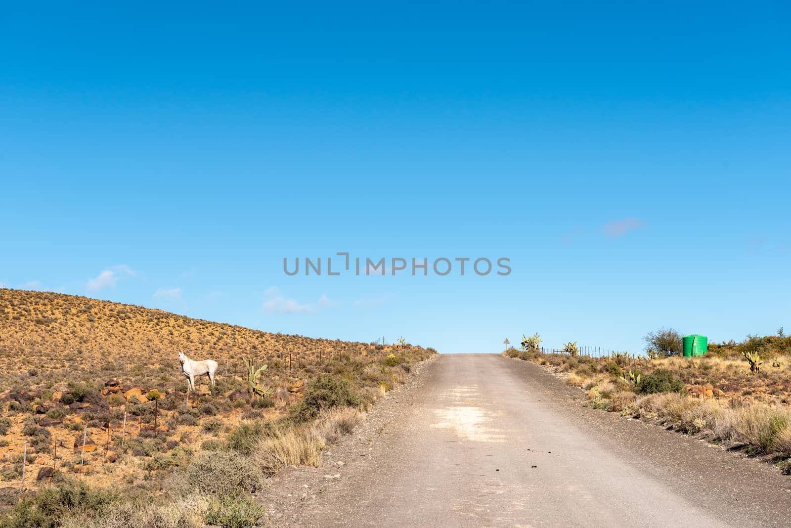
Farm landscape on road R356 between Loxton and Fraserburg
Stock PhotoUsername
dpreezgResolution
3595x2400pxFarm landscape on road R356 between Loxton and Fraserburg


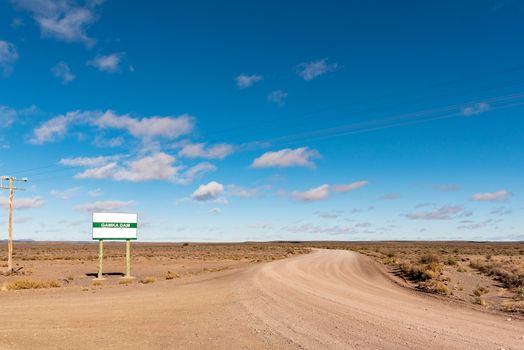
Road to the Gamka Dam near Loxton in the Northern Cape
Stock PhotoUsername
dpreezgResolution
3595x2400pxRoad to the Gamka Dam near Loxton in the Northern Cape
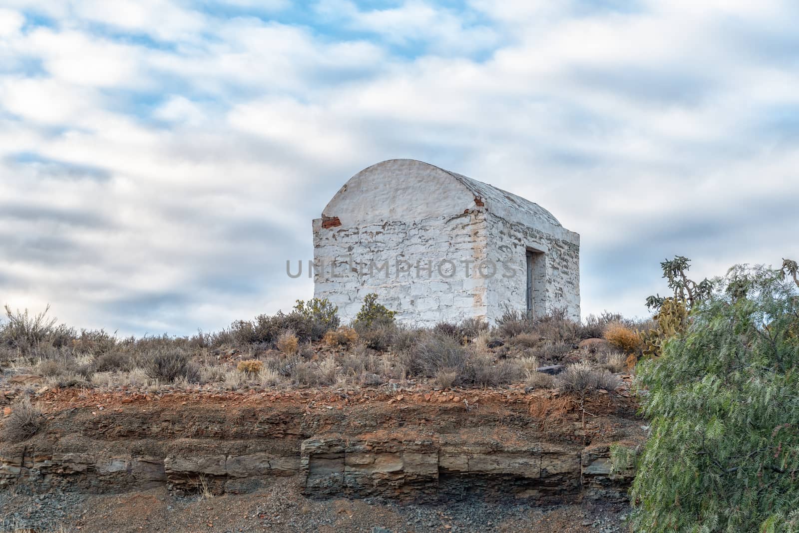
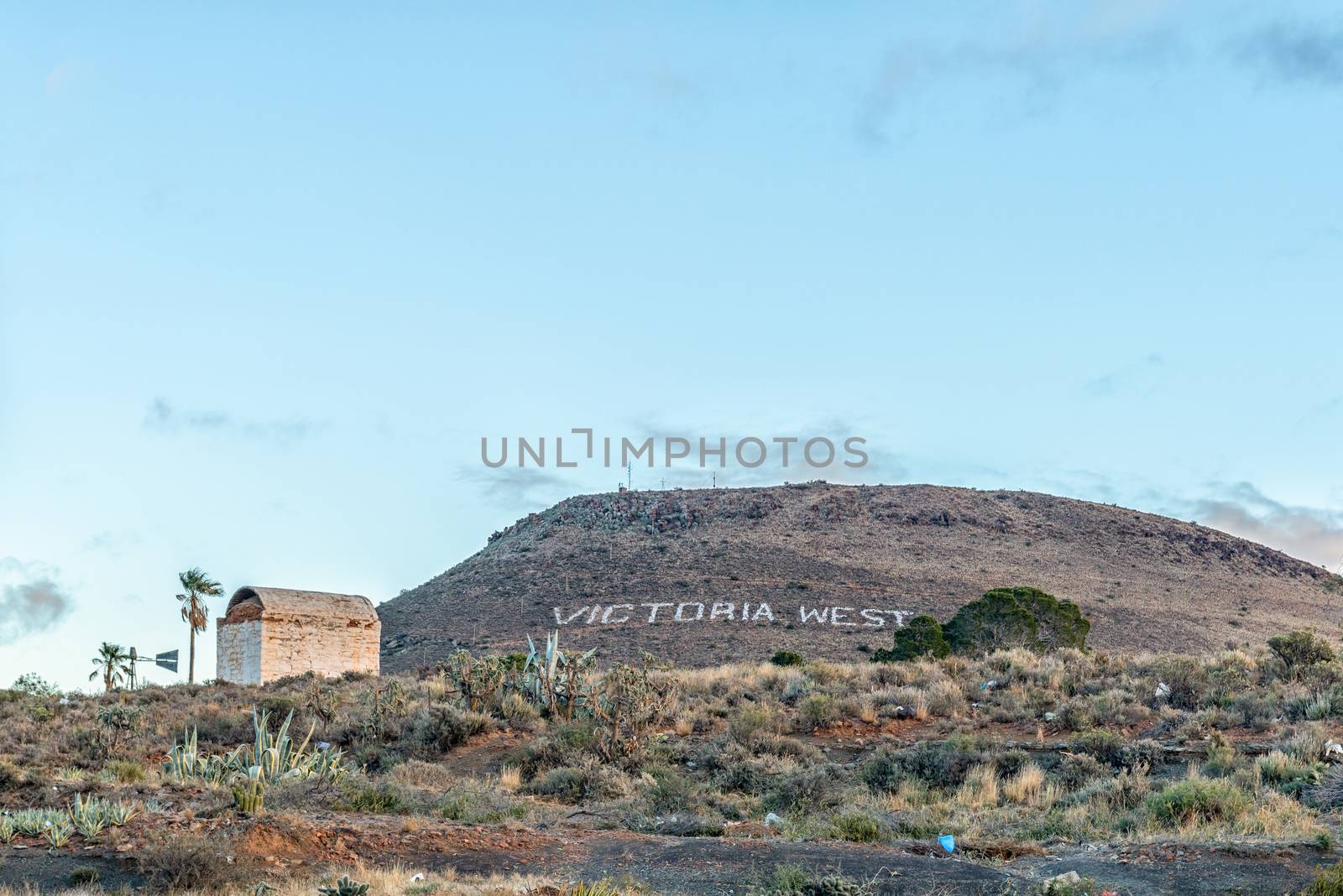
Historic gunpowder magazine in Victoria West in the Northern Cap
Stock PhotoUsername
dpreezgResolution
3595x2400pxHistoric gunpowder magazine in Victoria West in the Northern Cap
Dam in the Brak River at Victoria West
Stock PhotoUsername
dpreezgResolution
3595x2400pxDam in the Brak River at Victoria West
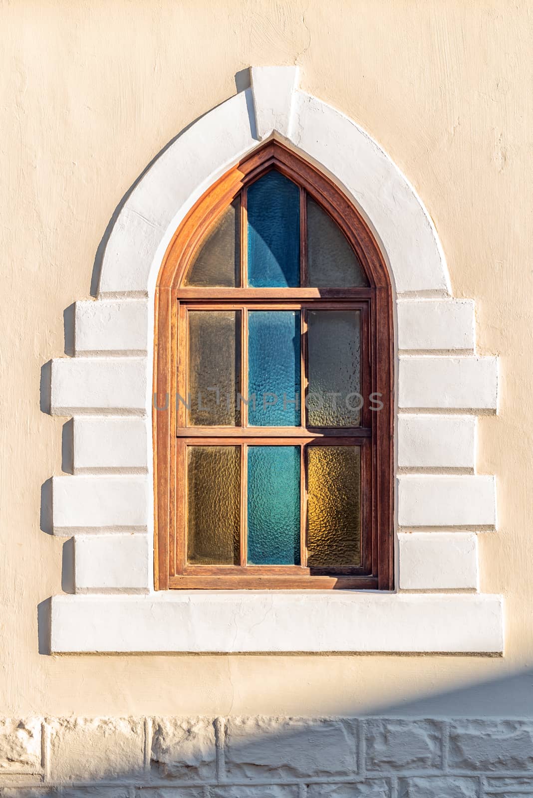
Neo-Gothic window in Victoria West in the Northern Cape
Stock PhotoUsername
dpreezgResolution
2400x3596pxNeo-Gothic window in Victoria West in the Northern Cape

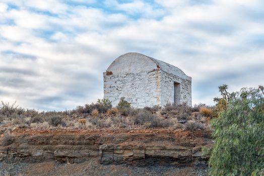
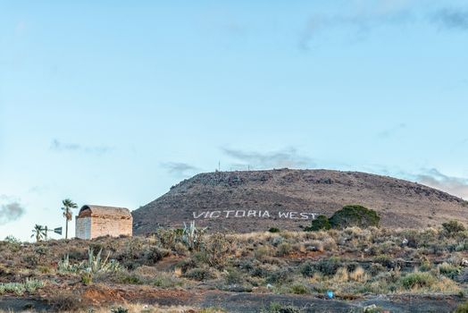
Historic gunpowder magazine in Victoria West in the Northern Cap
Stock PhotoUsername
dpreezgResolution
3595x2400pxHistoric gunpowder magazine in Victoria West in the Northern Cap

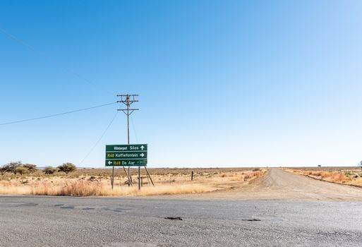
Directional signs of N10 and R48 roads at De Aar
Stock PhotoUsername
dpreezgResolution
3595x2400pxDirectional signs of N10 and R48 roads at De Aar

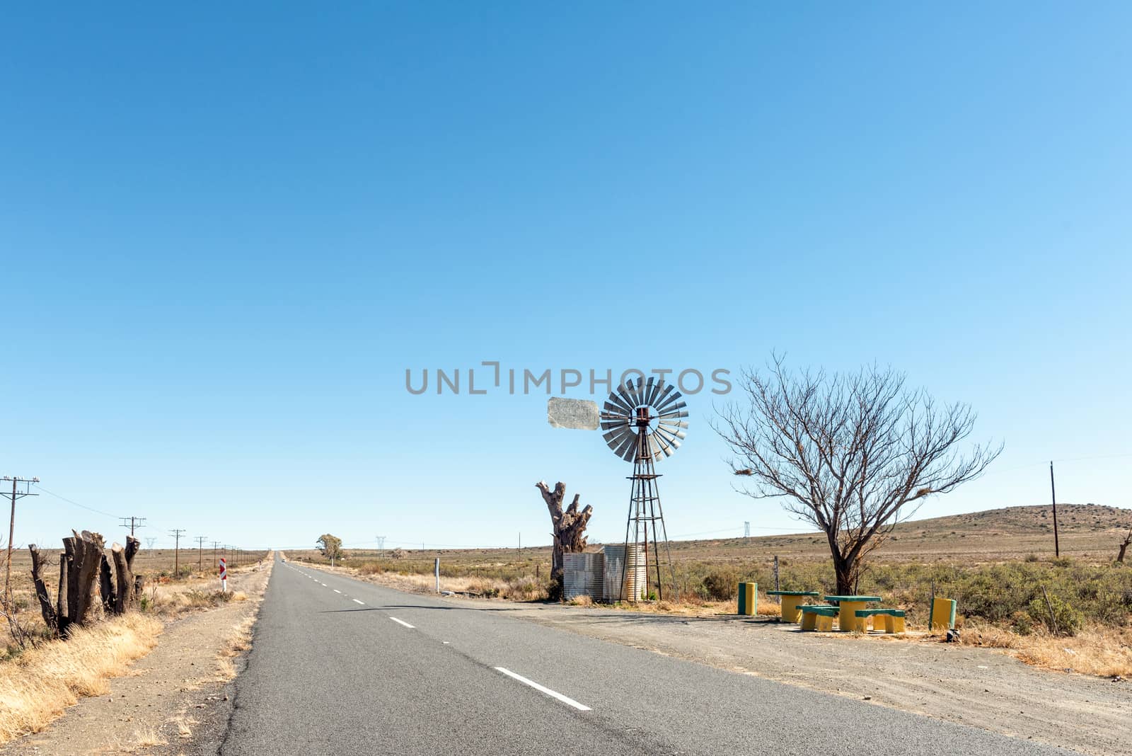
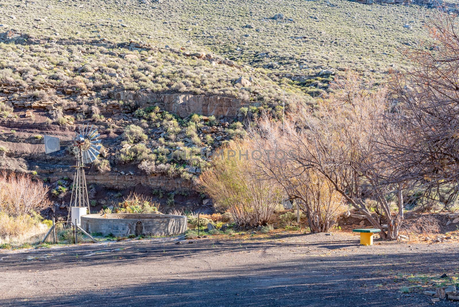
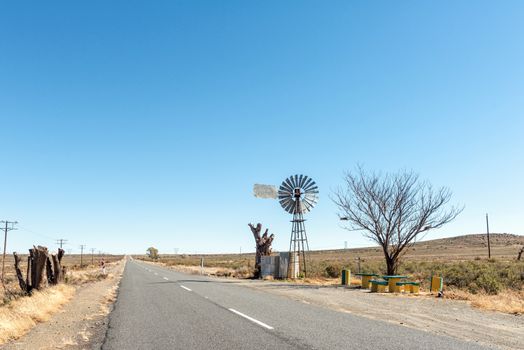
Water-pumping windmill and picnic spot on road R48
Stock PhotoUsername
dpreezgResolution
3595x2400pxWater-pumping windmill and picnic spot on road R48
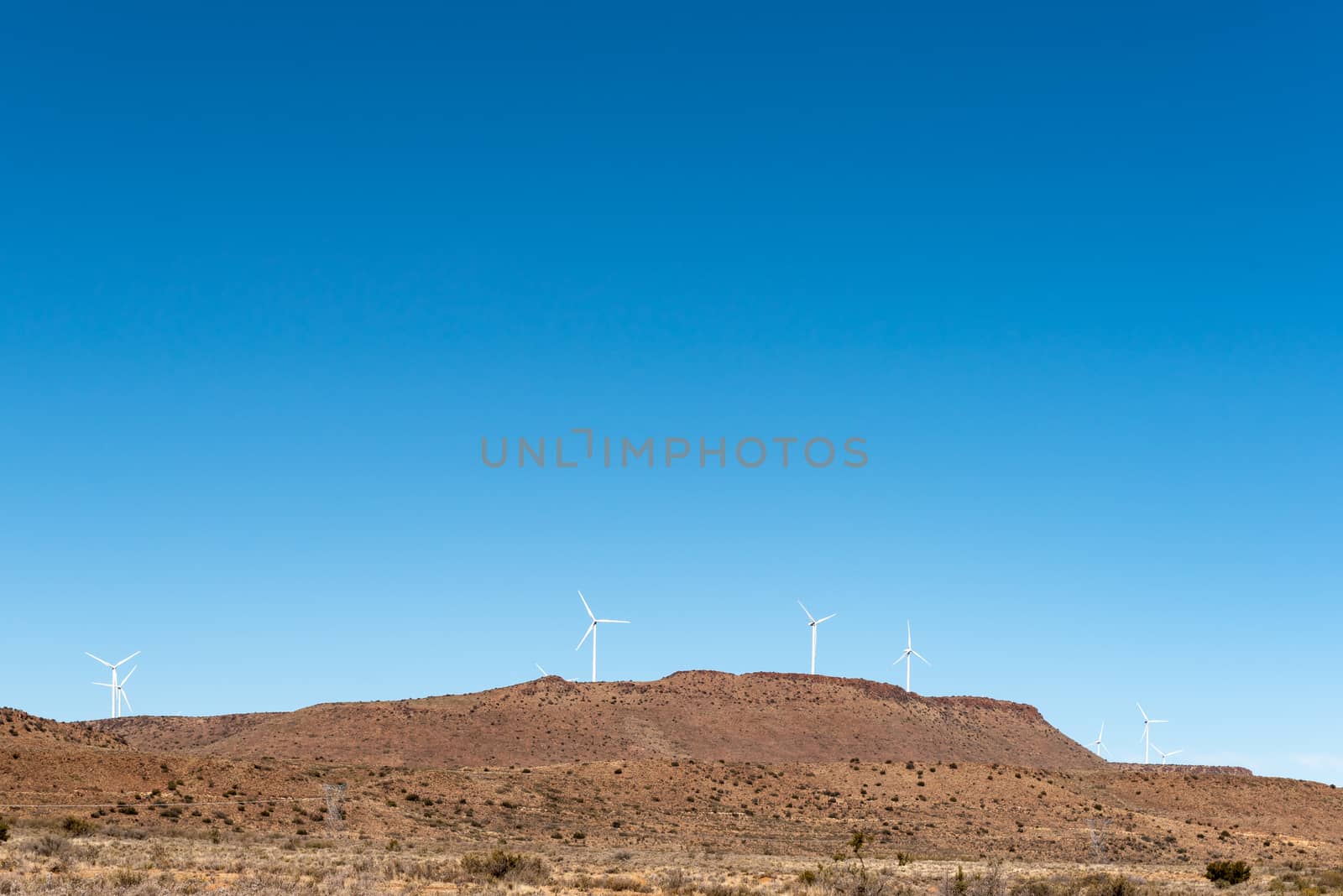
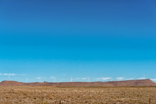
Wind turbines near Phillipstown in the Northern Cape
Stock PhotoUsername
dpreezgResolution
3595x2400pxWind turbines near Phillipstown in the Northern Cape


Old wall, with roots growing through, in Petrusville
Stock PhotoUsername
dpreezgResolution
3595x2400pxOld wall, with roots growing through, in Petrusville

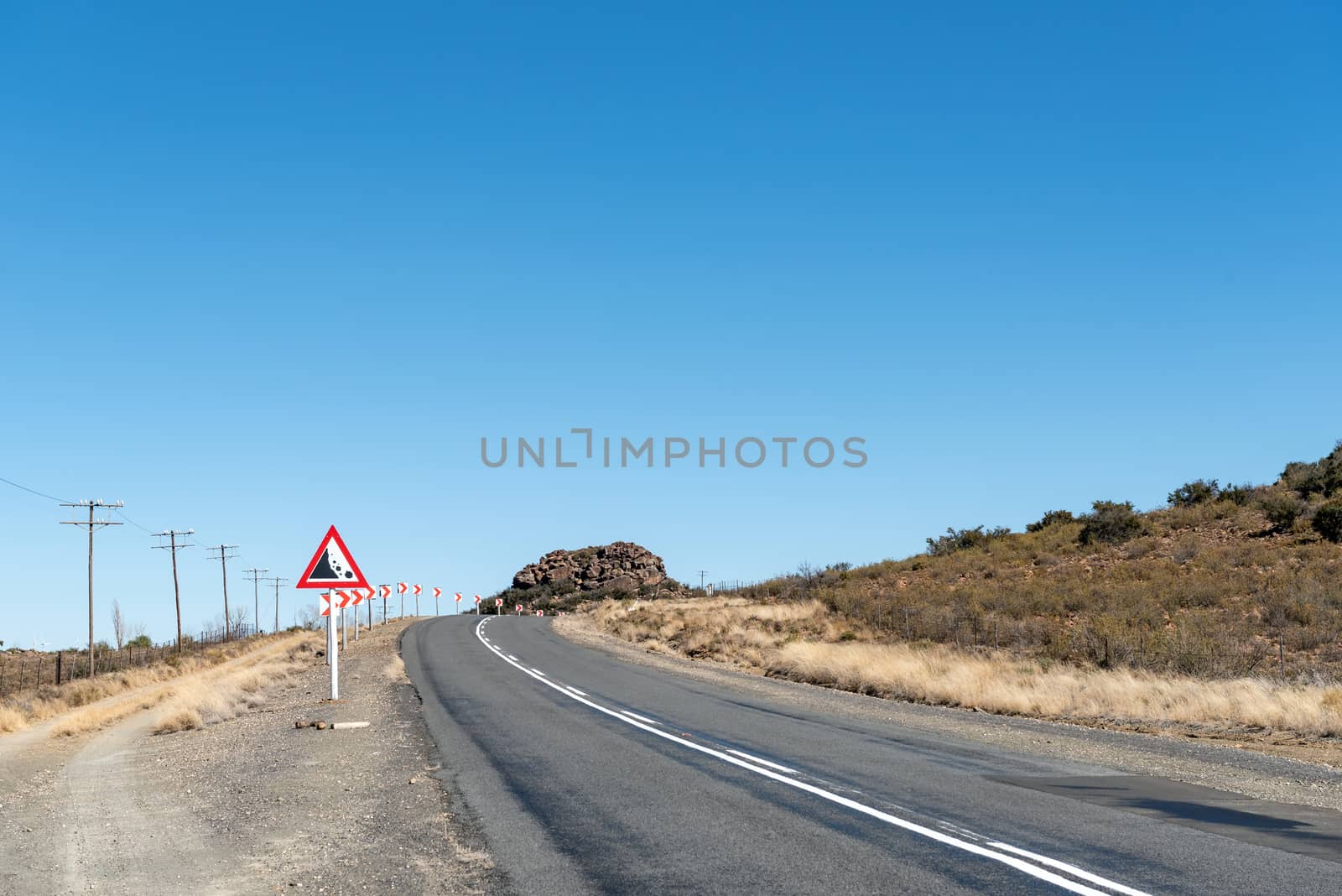
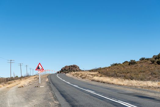
Road R48 at Modderfontein between Phillipstown and De Aar
Stock PhotoUsername
dpreezgResolution
3595x2400pxRoad R48 at Modderfontein between Phillipstown and De Aar

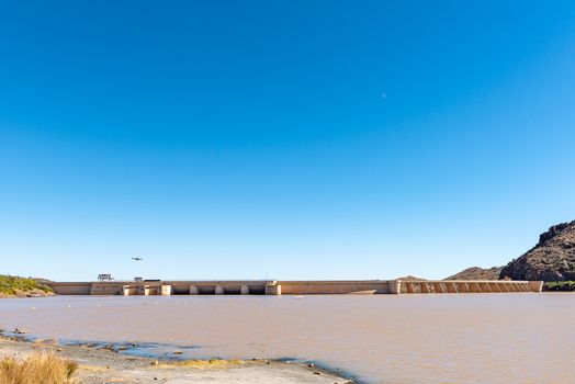
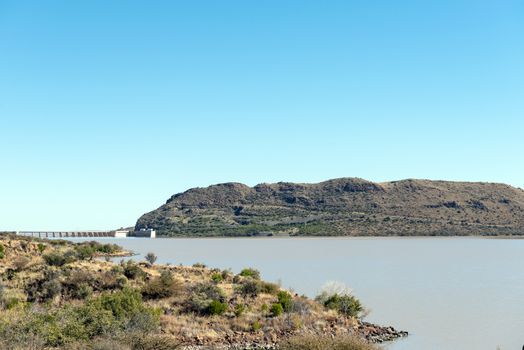
The Vanderkloof Dam in the Orange River
Stock PhotoUsername
dpreezgResolution
3595x2400pxThe Vanderkloof Dam in the Orange River
The Vanderkloof Dam in the Orange River
Stock PhotoUsername
dpreezgResolution
3595x2400pxThe Vanderkloof Dam in the Orange River
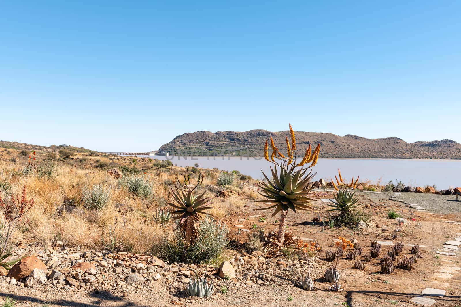
The Vanderkloof Dam in the Orange River
Stock PhotoUsername
dpreezgResolution
3595x2400pxThe Vanderkloof Dam in the Orange River

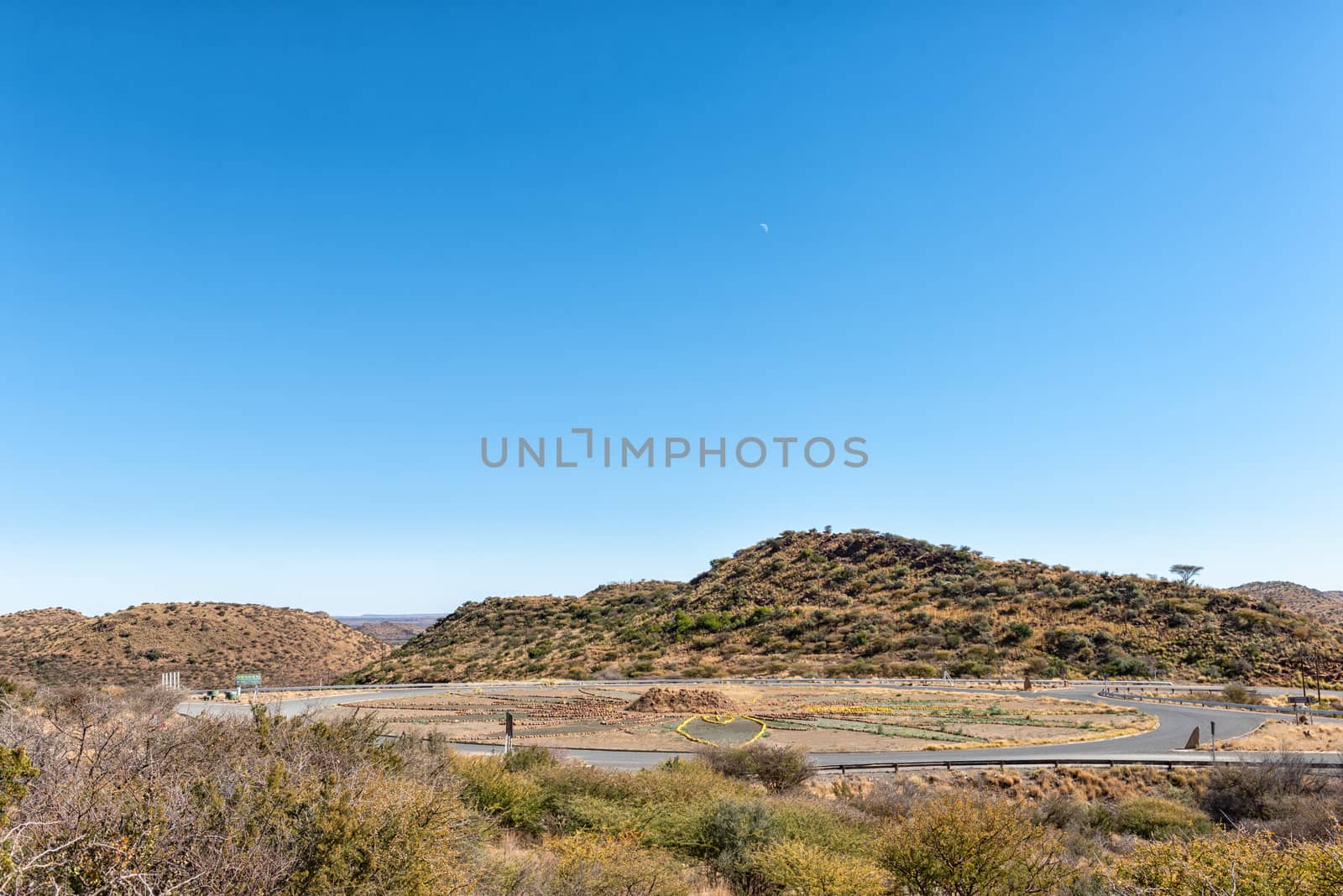
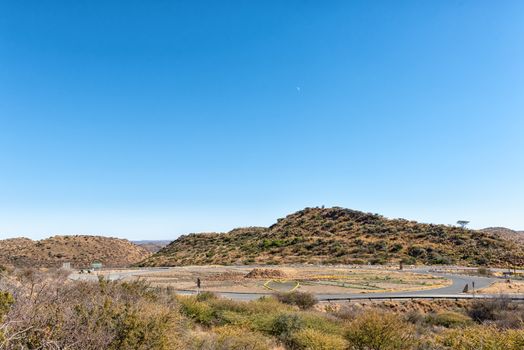
Traffic circle at the Vanderkloof Dam in the Orange River
Stock PhotoUsername
dpreezgResolution
3595x2400pxTraffic circle at the Vanderkloof Dam in the Orange River
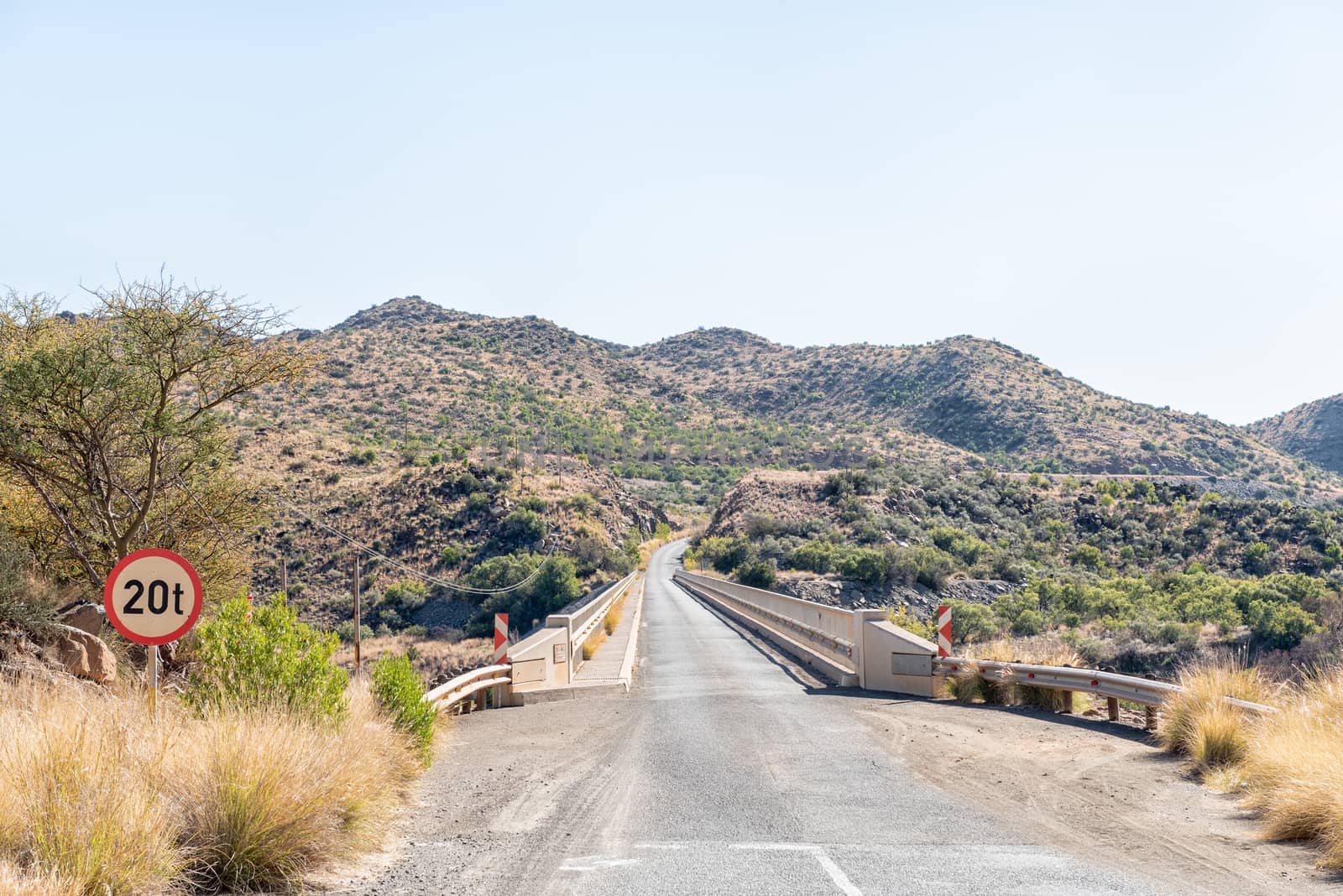
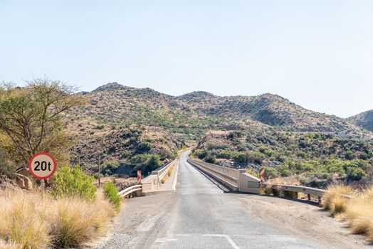
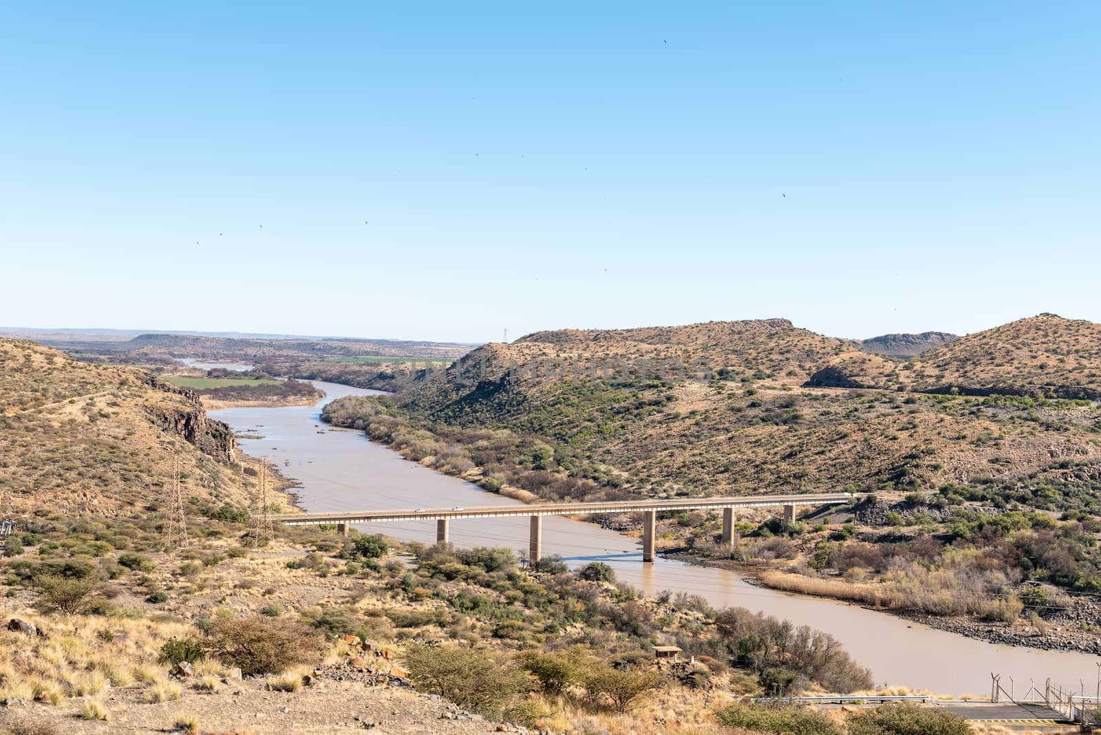
Single lane road bridge over Orange River below Vanderkloof Dam
Stock PhotoUsername
dpreezgResolution
3595x2400pxSingle lane road bridge over Orange River below Vanderkloof Dam

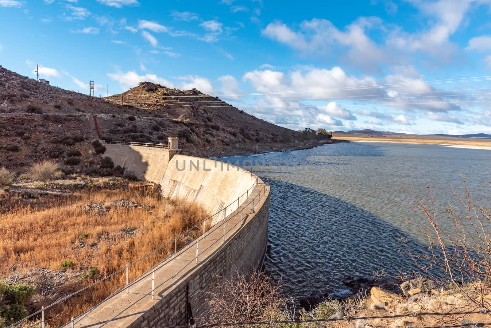
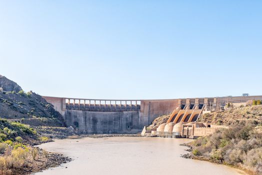
Wall of the Vanderkloof Dam in the Orange River
Stock PhotoUsername
dpreezgResolution
3595x2400pxWall of the Vanderkloof Dam in the Orange River
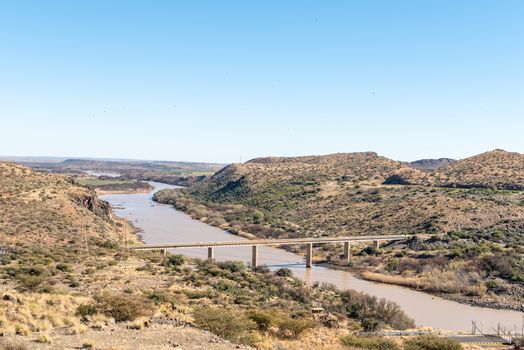
View downstream from the Vanderkloof Dam in the Orange River
Stock PhotoUsername
dpreezgResolution
3595x2400pxView downstream from the Vanderkloof Dam in the Orange River
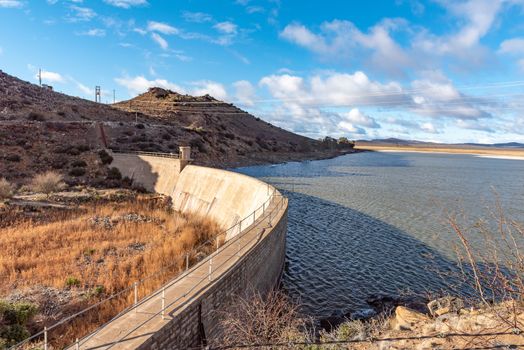
Wall of the Vanderkloof Dam in the Orange River
Stock PhotoUsername
dpreezgResolution
3595x2400pxWall of the Vanderkloof Dam in the Orange River

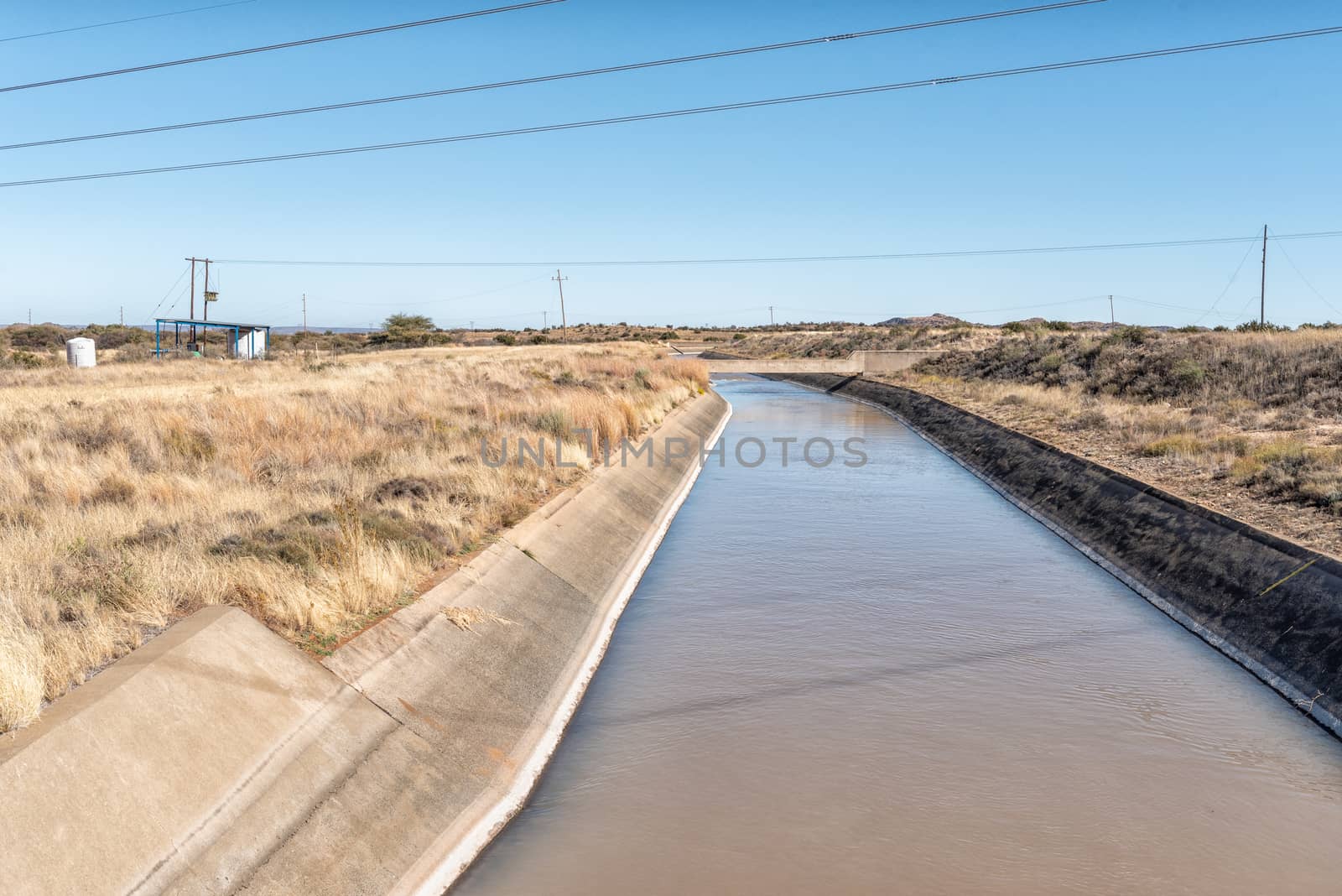
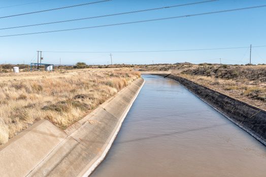
Irrigation canal, originating from the Vanderkloof Dam, near Luc
Stock PhotoUsername
dpreezgResolution
3595x2400pxIrrigation canal, originating from the Vanderkloof Dam, near Luc
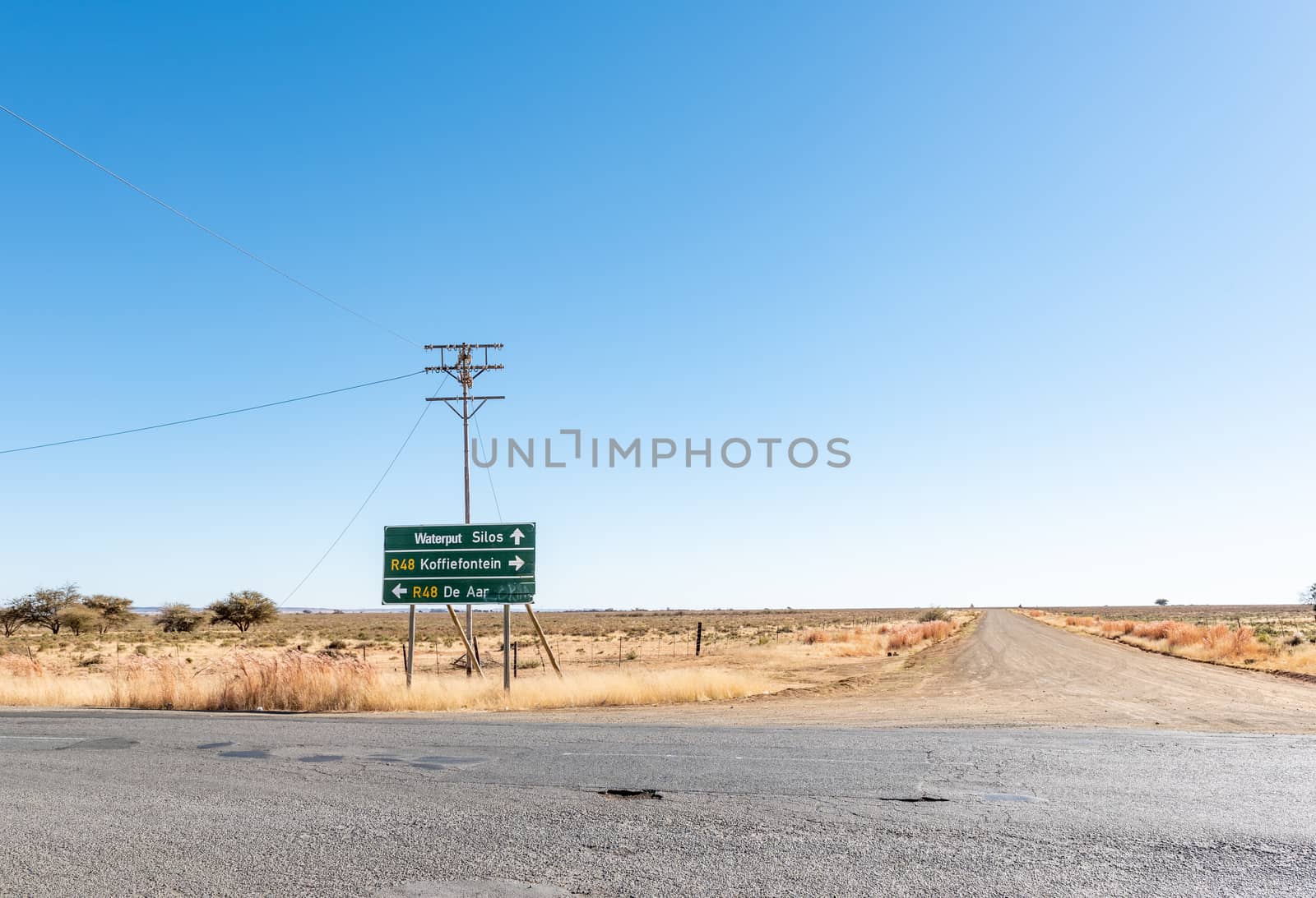
Directional sign on road R48 at Luckhoff
Stock PhotoUsername
dpreezgResolution
3512x2400pxDirectional sign on road R48 at Luckhoff