- Filter By:
-
-
Stock photos and images of username:dpreezg
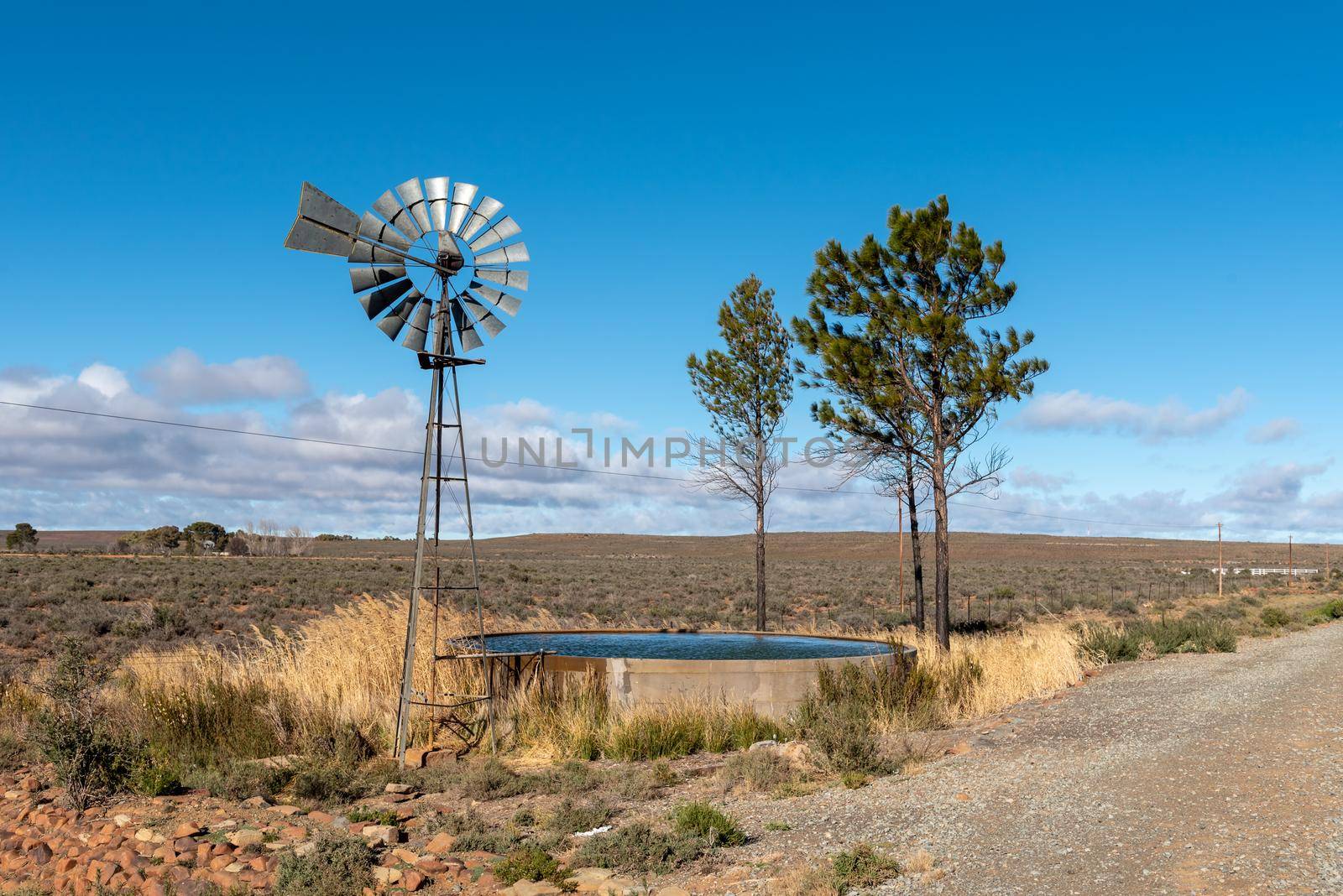
Landscape withwater-pumping windmill, trees and dam
Stock PhotoUsername
dpreezgResolution
3595x2400pxLandscape withwater-pumping windmill, trees and dam


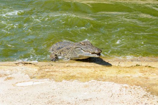
Nile crocodile, Crocodylus niloticus, charging out of the water
Stock PhotoUsername
dpreezgResolution
3150x2100pxNile crocodile, Crocodylus niloticus, charging out of the water
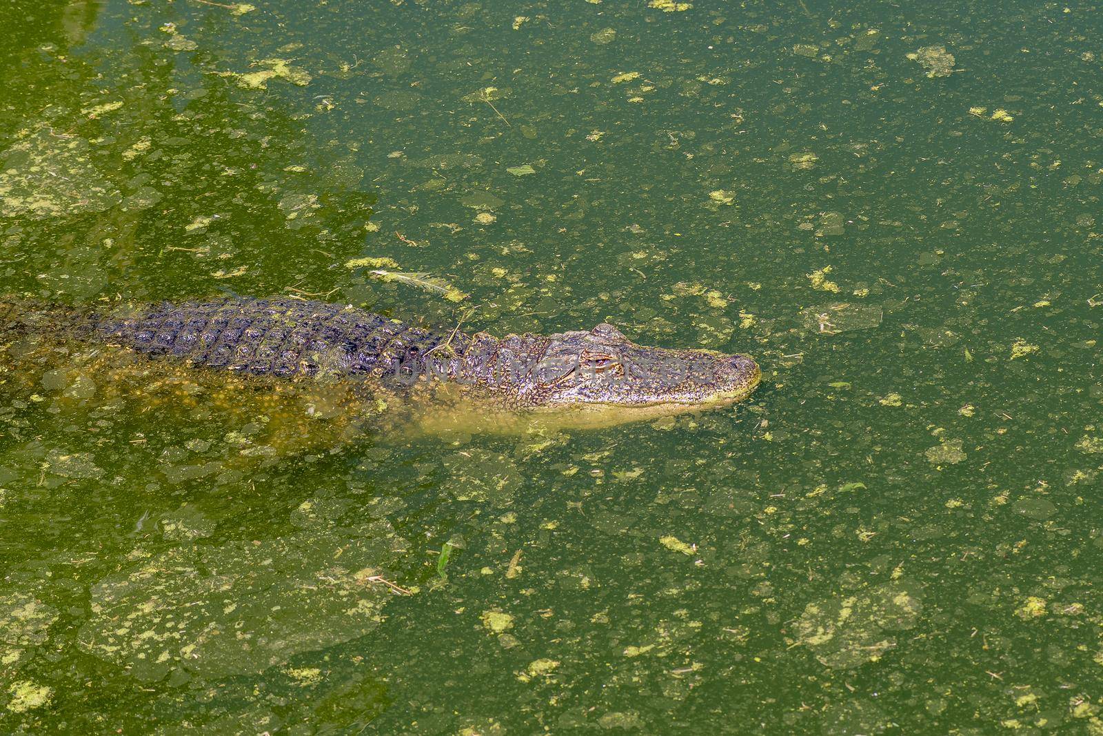
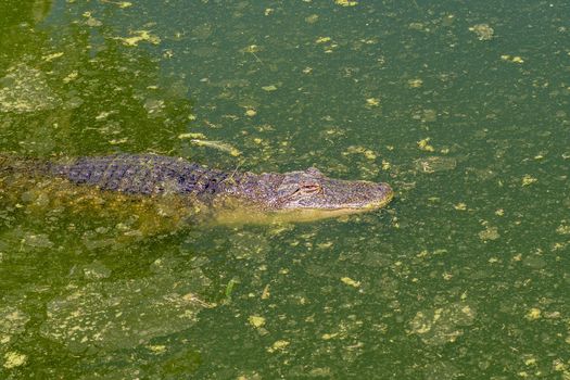
An alligator, Alligator mississipiensis, in water
Stock PhotoUsername
dpreezgResolution
3150x2100pxAn alligator, Alligator mississipiensis, in water
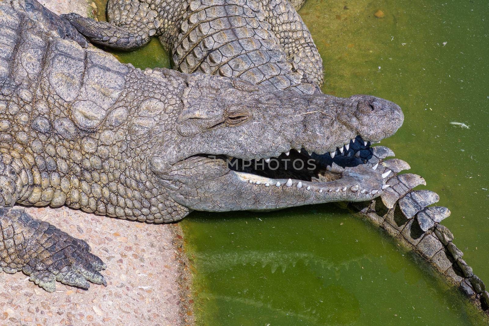
Nile crocodile, Crocodylus niloticus, with open mouth
Stock PhotoUsername
dpreezgResolution
3600x2400pxNile crocodile, Crocodylus niloticus, with open mouth
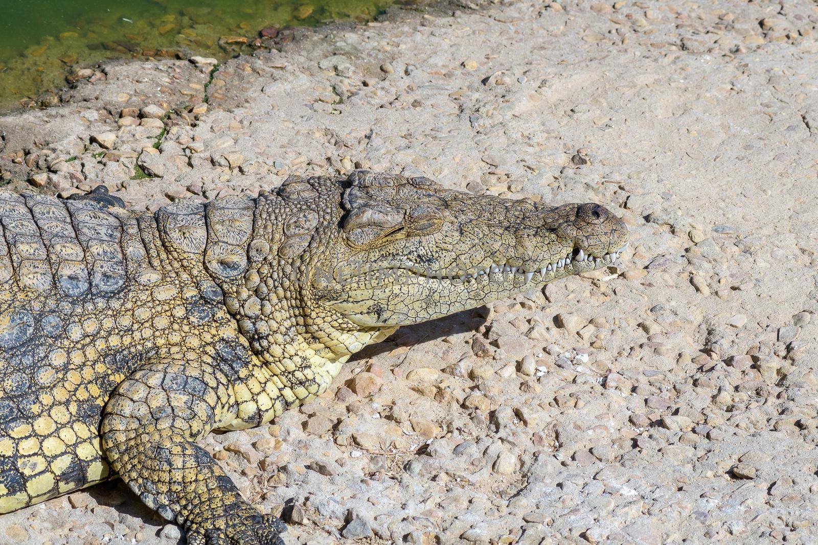
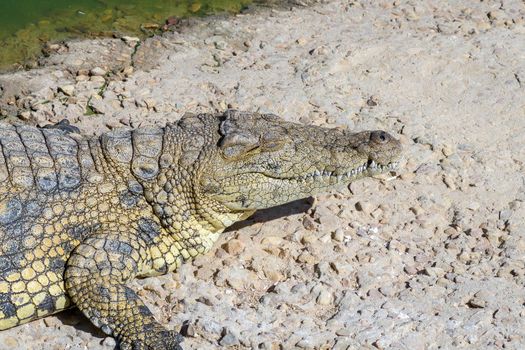
The face of a nile crocodile
Stock PhotoUsername
dpreezgResolution
3600x2400pxThe face of a nile crocodile
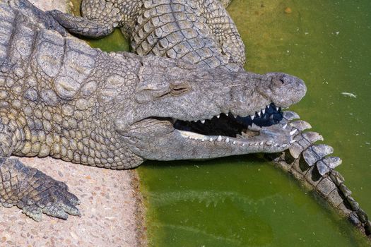
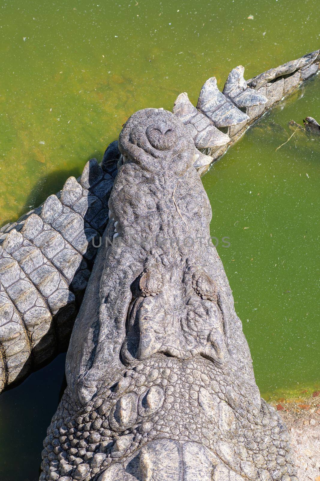
The face and tail of a nile crocodile
Stock PhotoUsername
dpreezgResolution
3600x2400pxThe face and tail of a nile crocodile
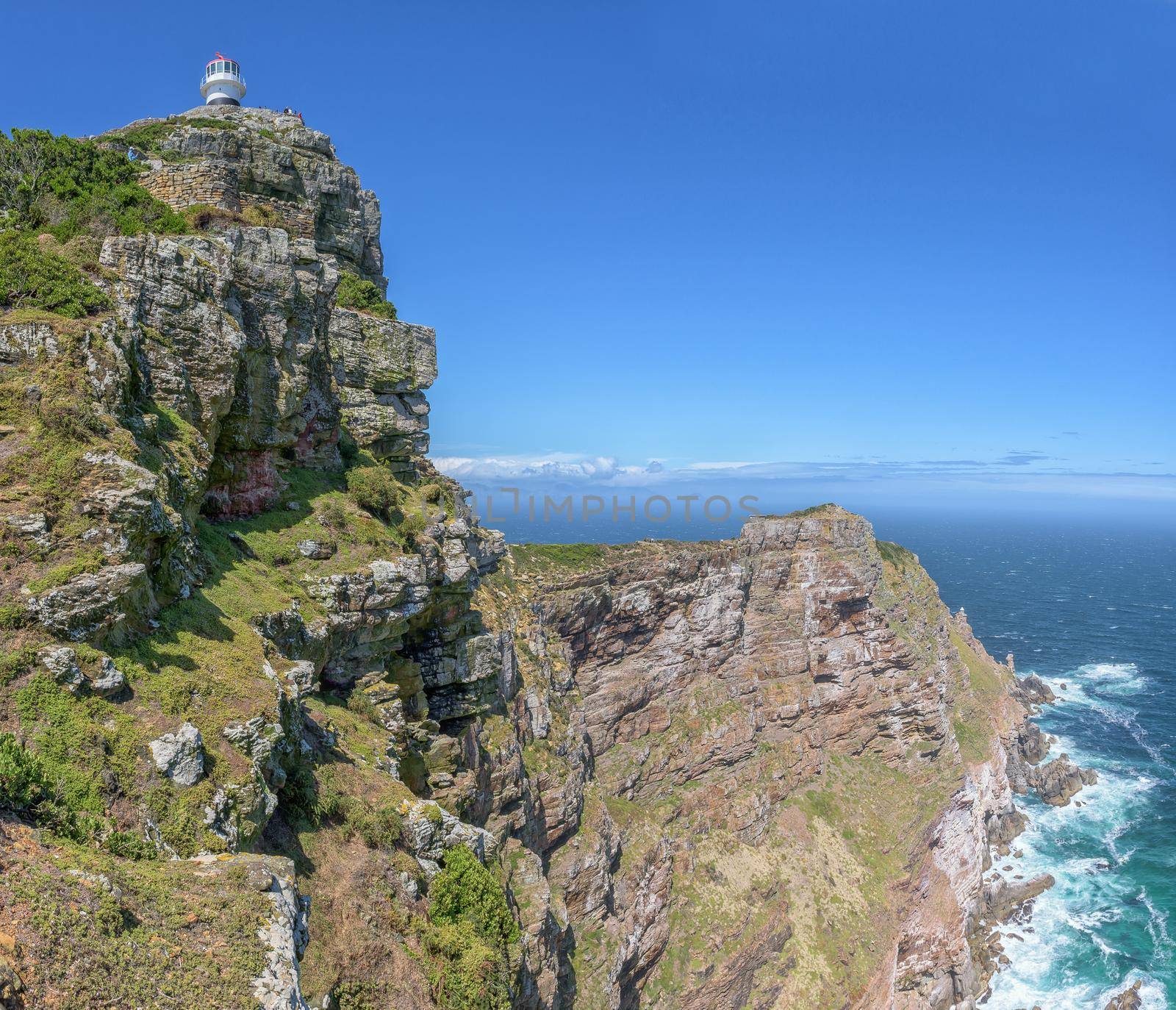
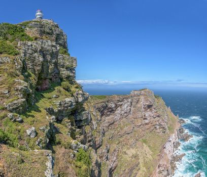
Old and new lighthouses at Cape Point
Stock PhotoUsername
dpreezgResolution
3144x2700pxOld and new lighthouses at Cape Point

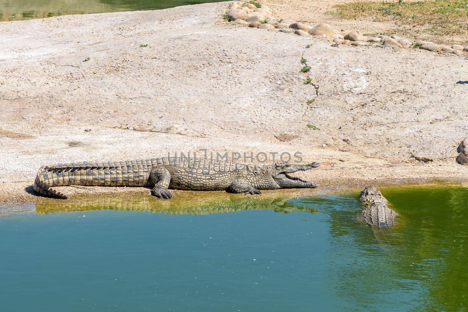
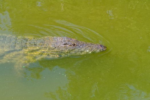
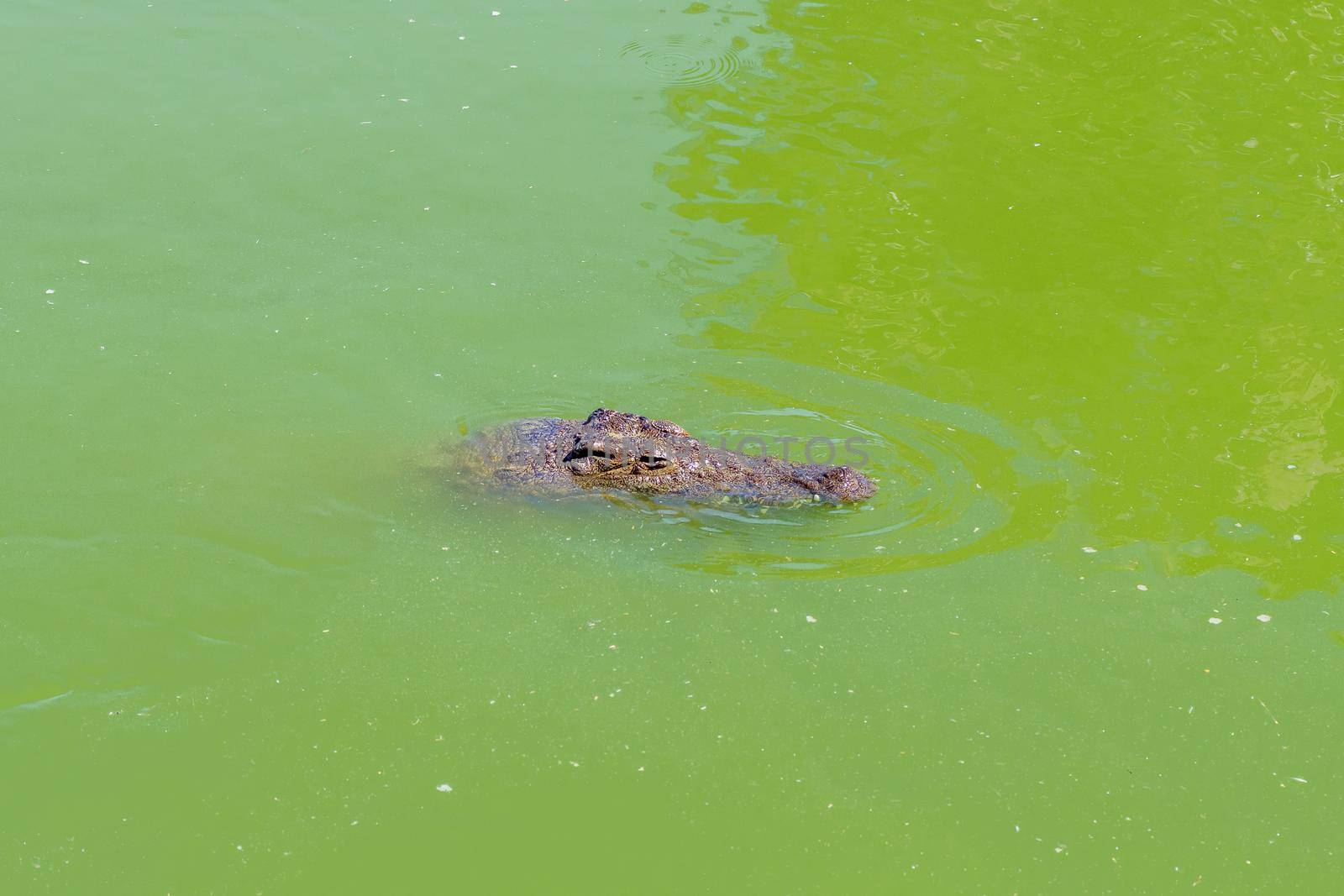
Nile crocodile, Crocodylus niloticus, in water
Stock PhotoUsername
dpreezgResolution
3600x2400pxNile crocodile, Crocodylus niloticus, in water
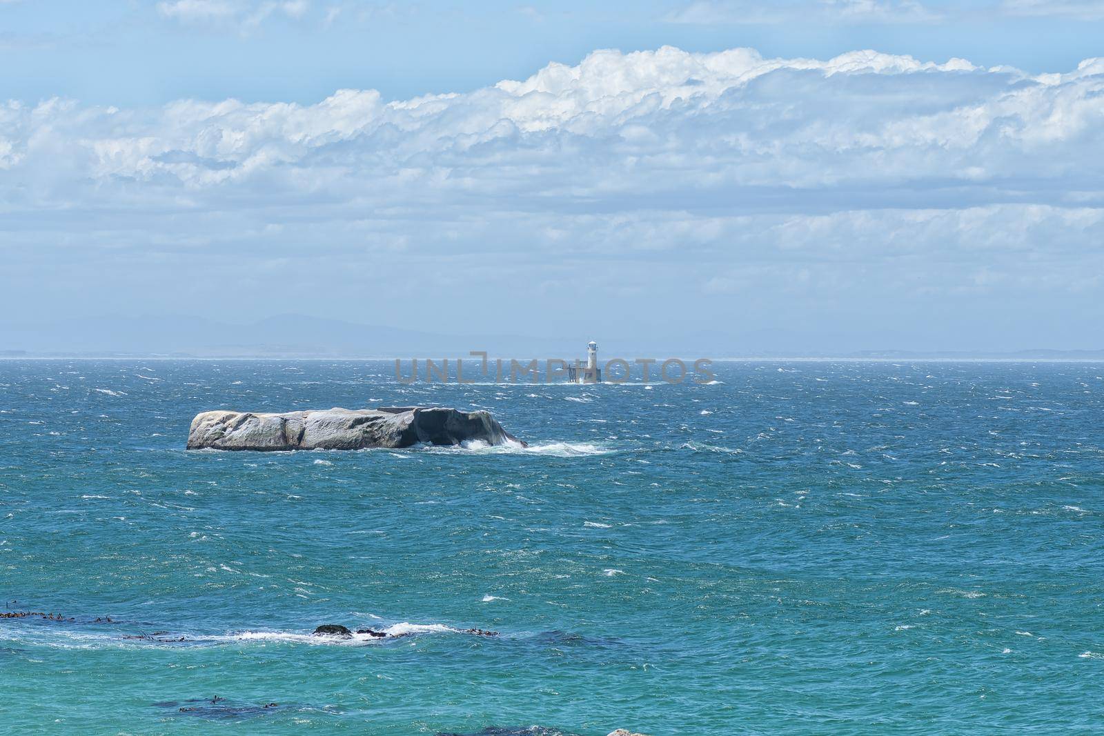
Noahs Ark Rock and Roman Rock Lighthouse in Simonstown
Stock PhotoUsername
dpreezgResolution
3600x2400pxNoahs Ark Rock and Roman Rock Lighthouse in Simonstown

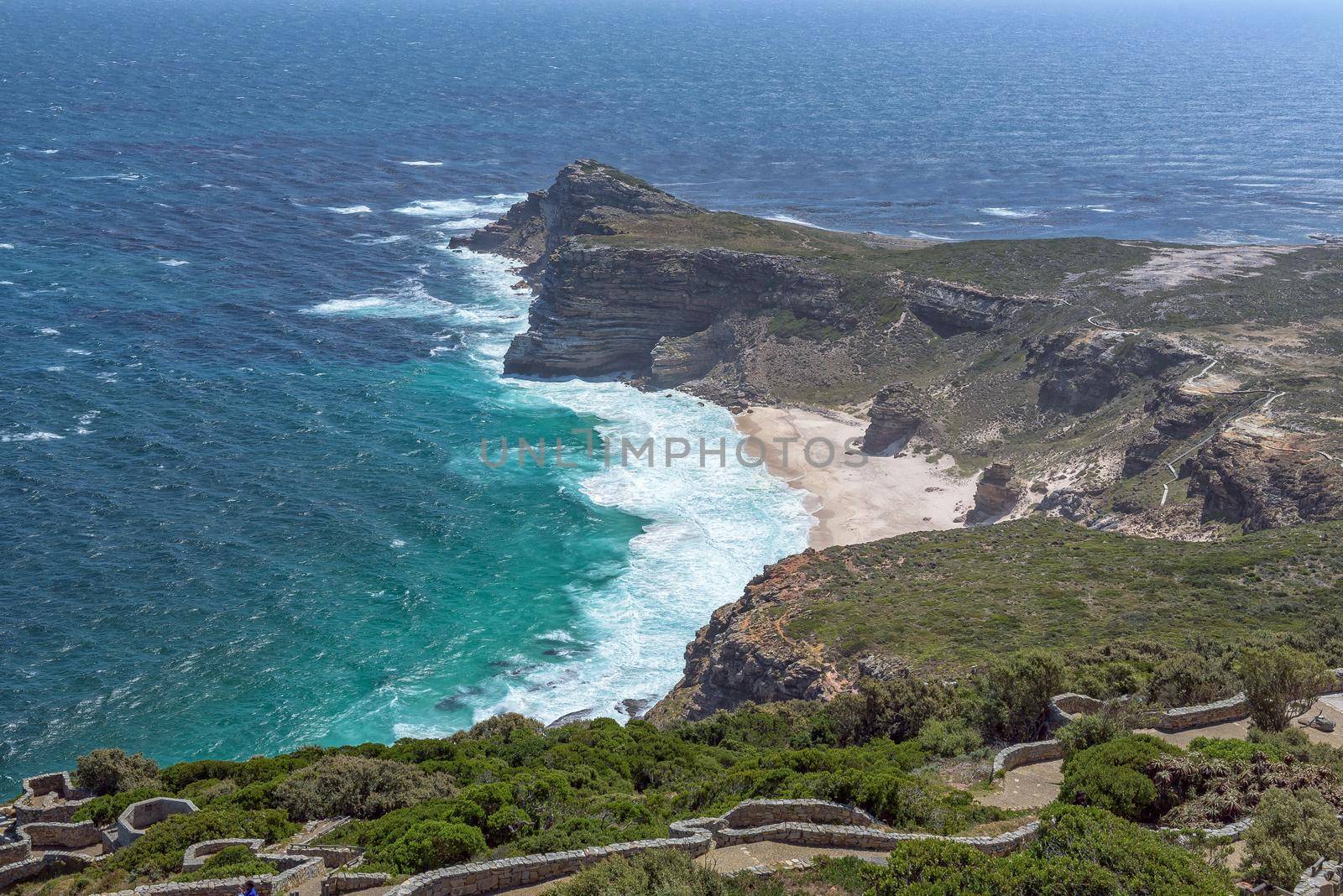
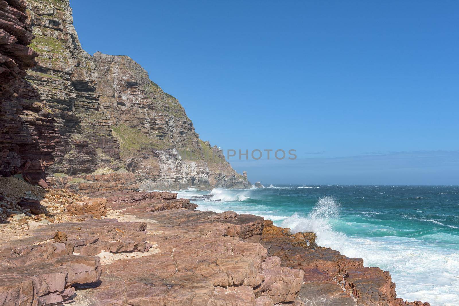
Cape of Good Hope, Diaz Beach seen from Cape Point.
Stock PhotoUsername
dpreezgResolution
3595x2400pxCape of Good Hope, Diaz Beach seen from Cape Point.

The face and tail of a nile crocodile
Stock PhotoUsername
dpreezgResolution
2400x3600pxThe face and tail of a nile crocodile

View from Diaz Beach towards new lighthouse at Cape Point
Stock PhotoUsername
dpreezgResolution
3595x2400pxView from Diaz Beach towards new lighthouse at Cape Point

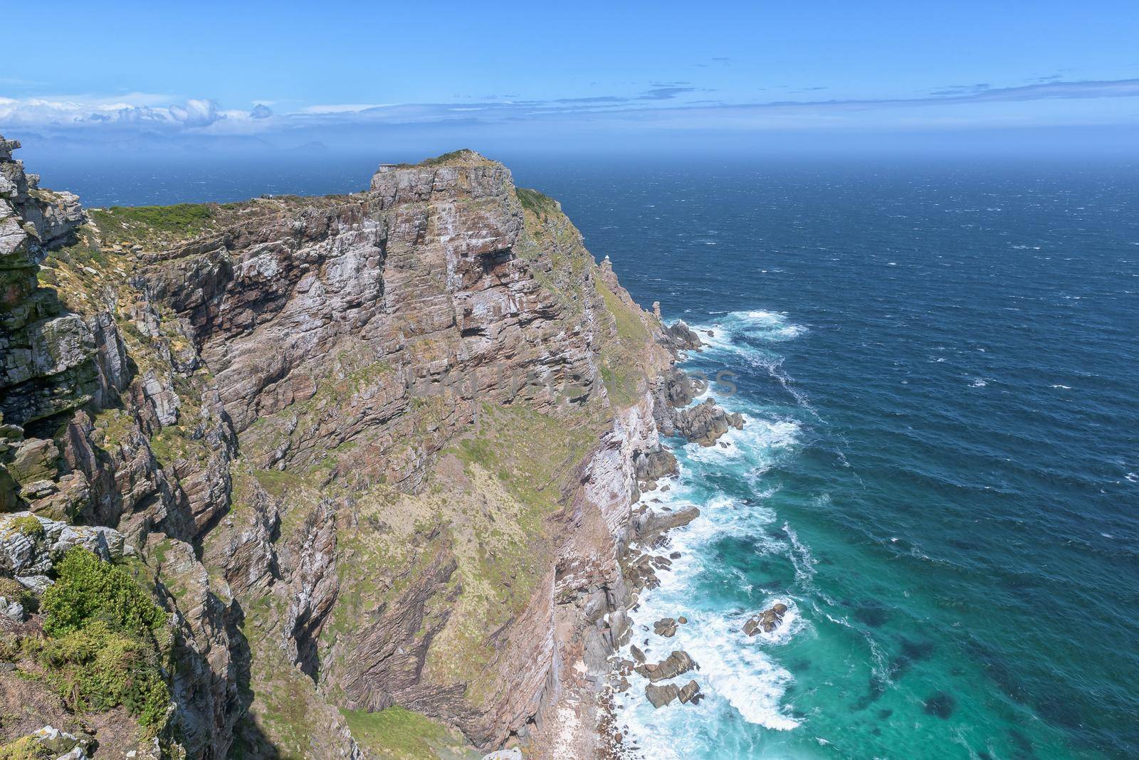
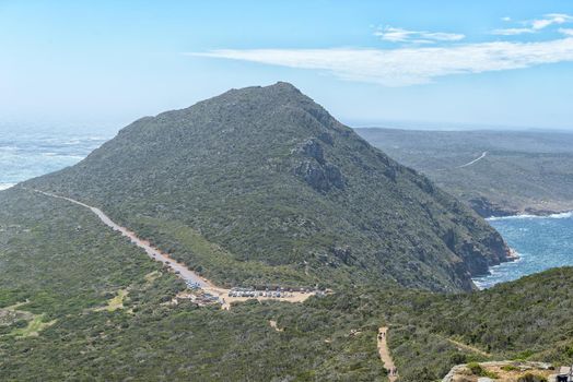
New lighthouse is visible at Cape Point
Stock PhotoUsername
dpreezgResolution
3595x2400pxNew lighthouse is visible at Cape Point

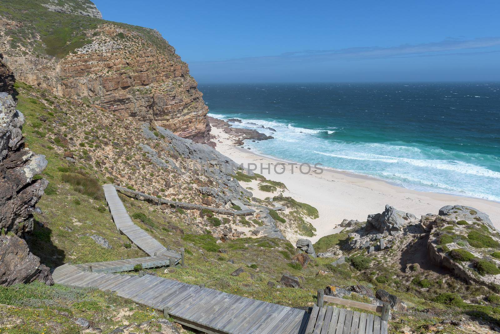
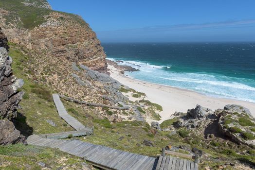
Boardwalk down to Diaz Beach at Cape Point
Stock PhotoUsername
dpreezgResolution
3595x2400pxBoardwalk down to Diaz Beach at Cape Point
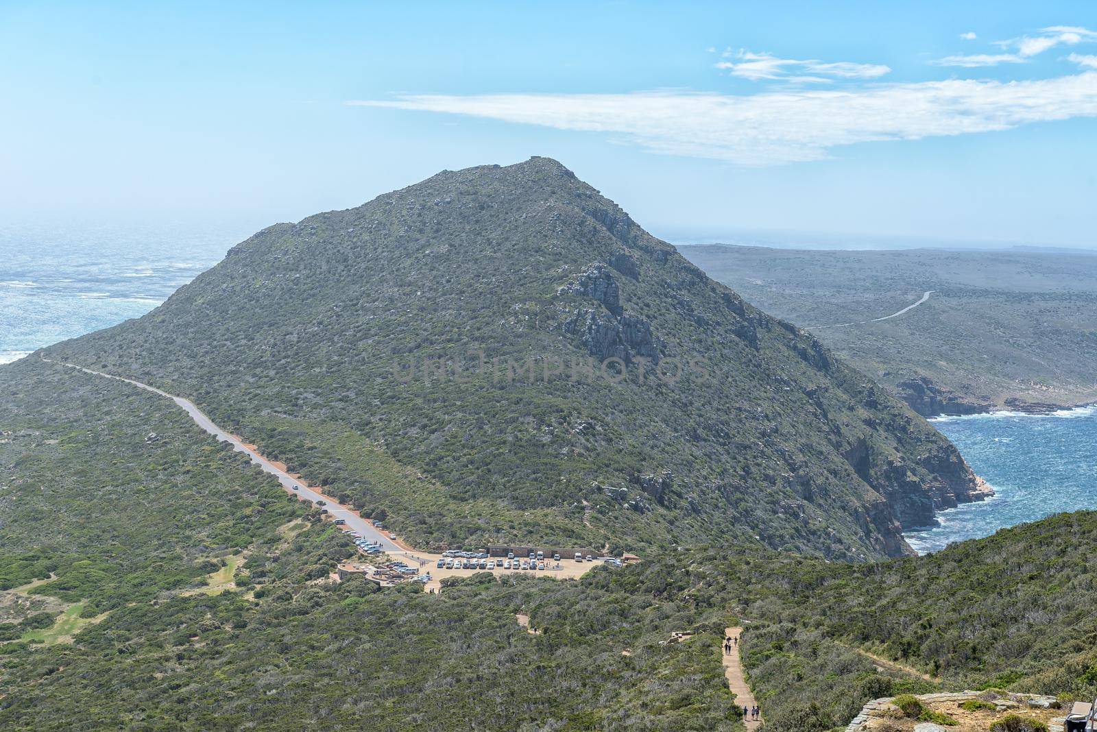
Parking area as seen from Cape Point
Stock PhotoUsername
dpreezgResolution
3595x2400pxParking area as seen from Cape Point
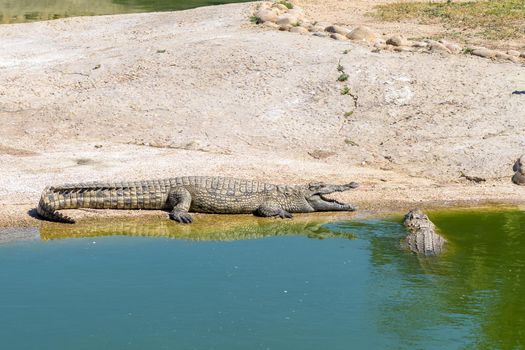
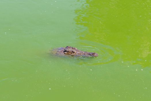
Nile crocodile, Crocodylus niloticus, in water
Stock PhotoUsername
dpreezgResolution
3600x2400pxNile crocodile, Crocodylus niloticus, in water

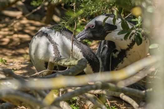
Two African Penguins preening each other
Stock PhotoUsername
dpreezgResolution
3600x2400pxTwo African Penguins preening each other
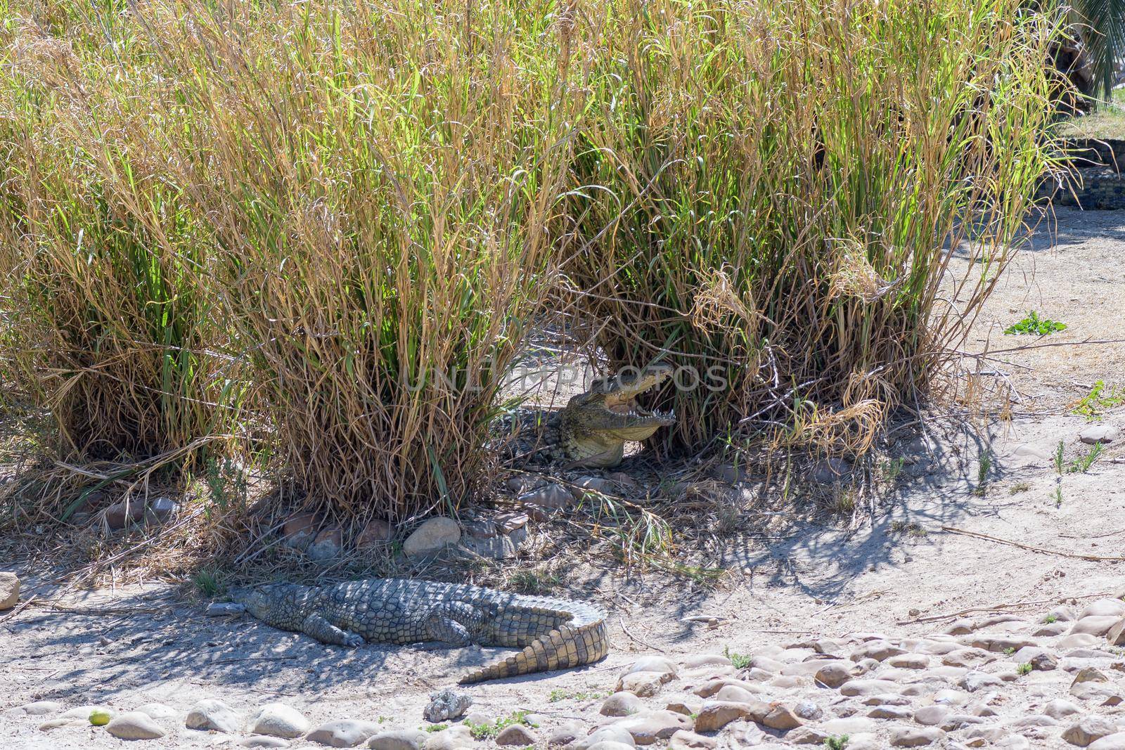
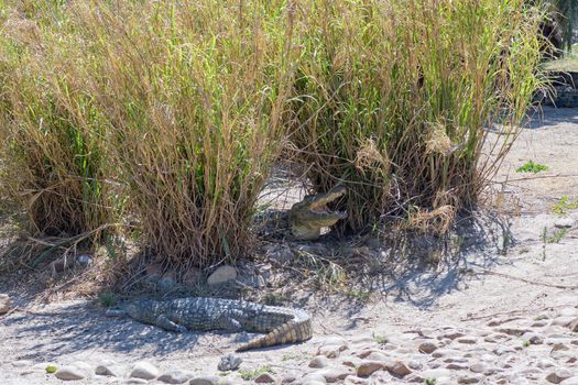
Nile crocodile, Crocodylus niloticus, on sand between reeds
Stock PhotoUsername
dpreezgResolution
3600x2400pxNile crocodile, Crocodylus niloticus, on sand between reeds
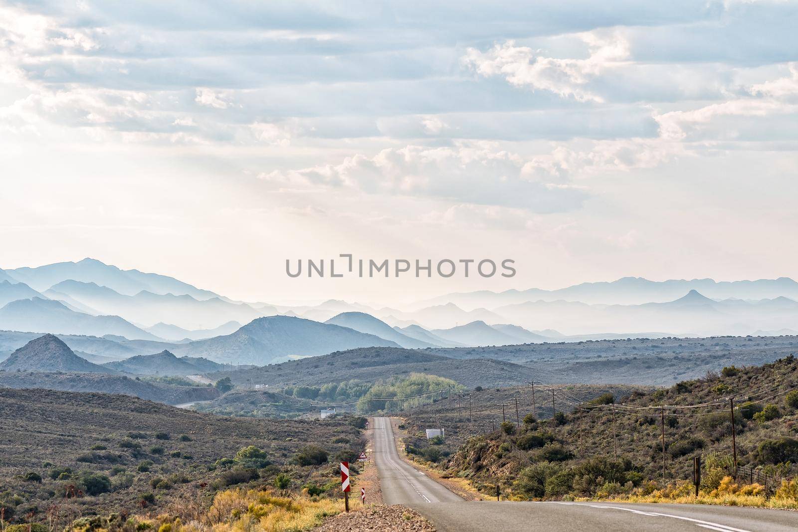
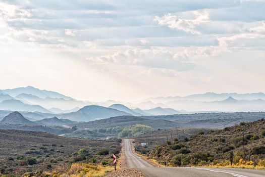
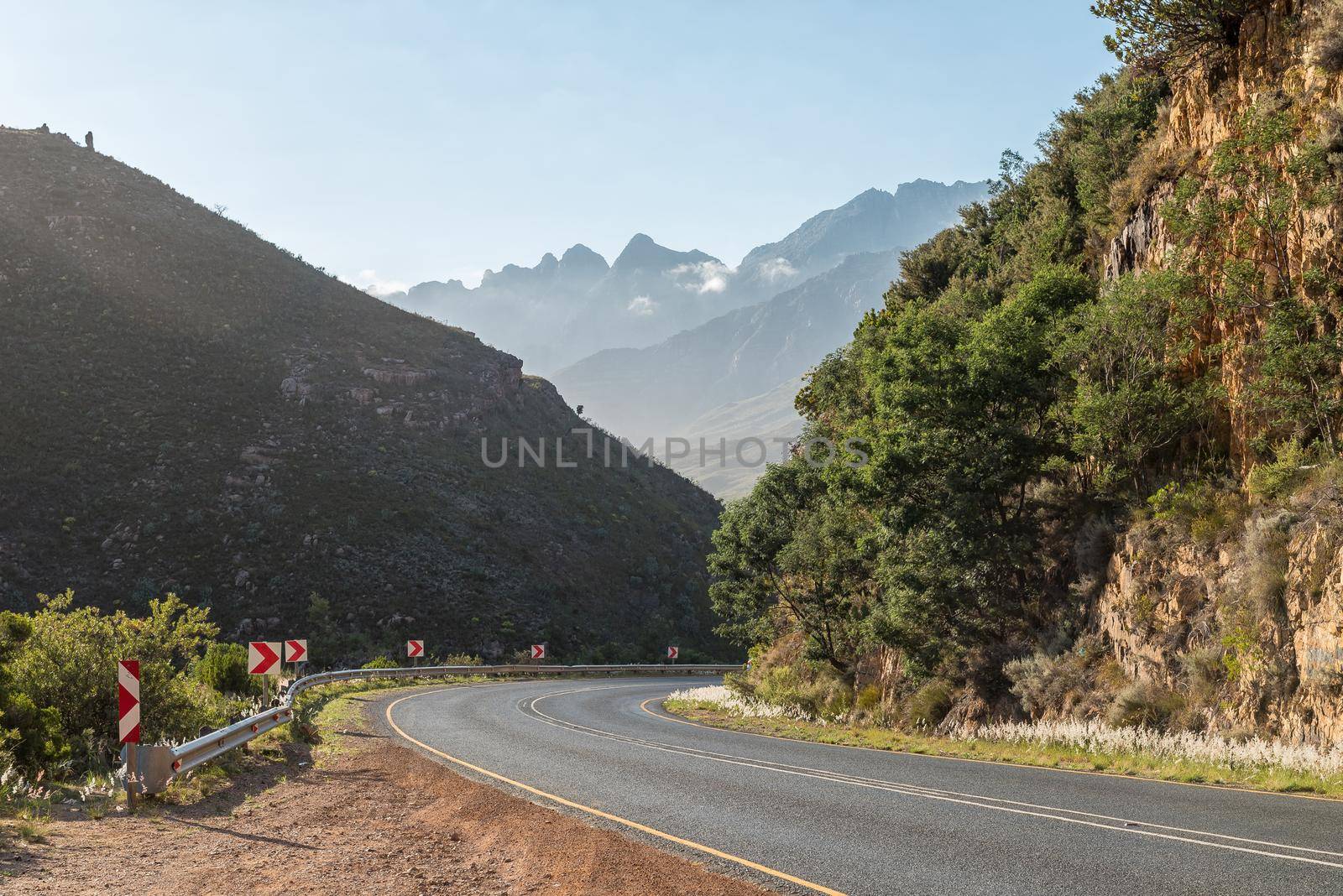
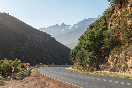
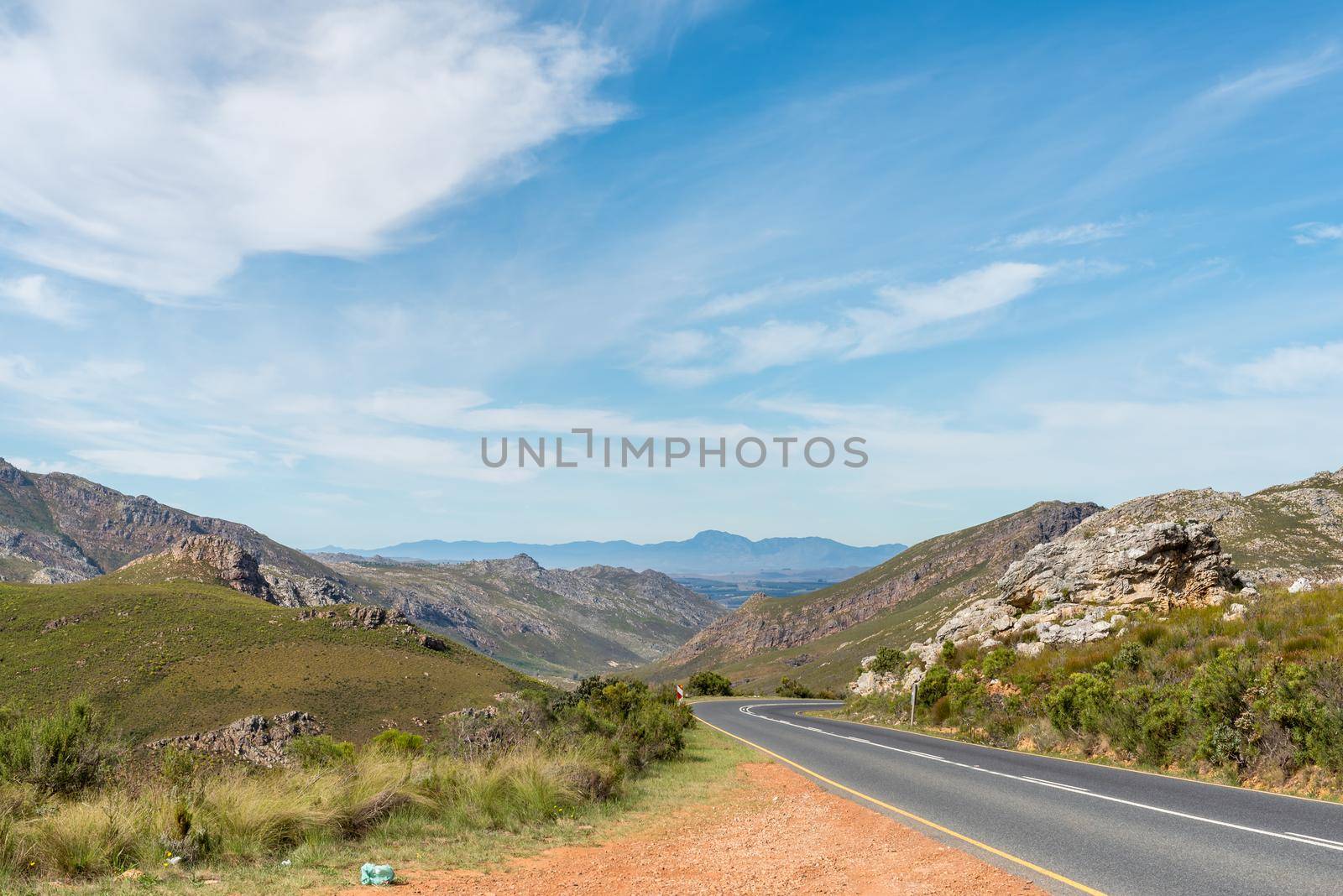
Hazy view from road R407 towards Klaarstroom
Stock PhotoUsername
dpreezgResolution
3600x2400pxHazy view from road R407 towards Klaarstroom
N1 west of Huguenot Tunnel seen from Du Toitskloof Pass
Stock PhotoUsername
dpreezgResolution
3595x2400pxN1 west of Huguenot Tunnel seen from Du Toitskloof Pass


Trucks are visible on the Hex River Pass
Stock PhotoUsername
dpreezgResolution
3595x2400pxTrucks are visible on the Hex River Pass
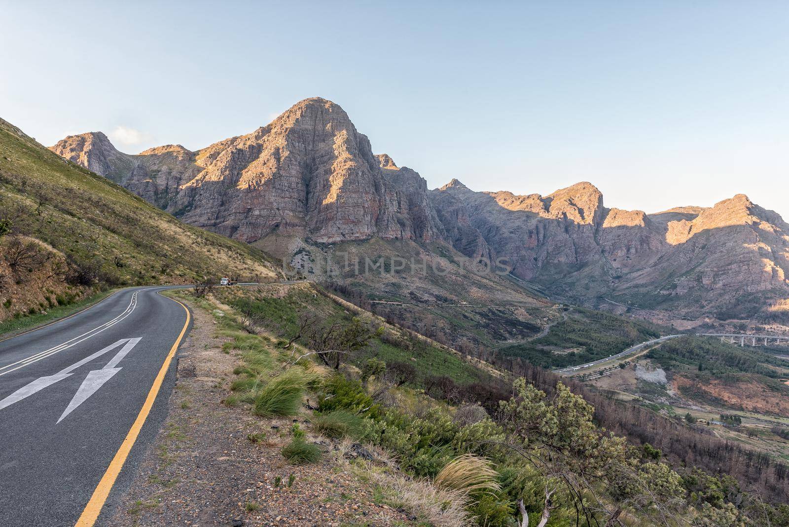
View of the Du Toitskloof Pass on the northern side
Stock PhotoUsername
dpreezgResolution
3595x2400pxView of the Du Toitskloof Pass on the northern side

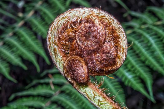
Unfolding leaf of a fern in the Helderberg Nature Reserve
Stock PhotoUsername
dpreezgResolution
3150x2100pxUnfolding leaf of a fern in the Helderberg Nature Reserve
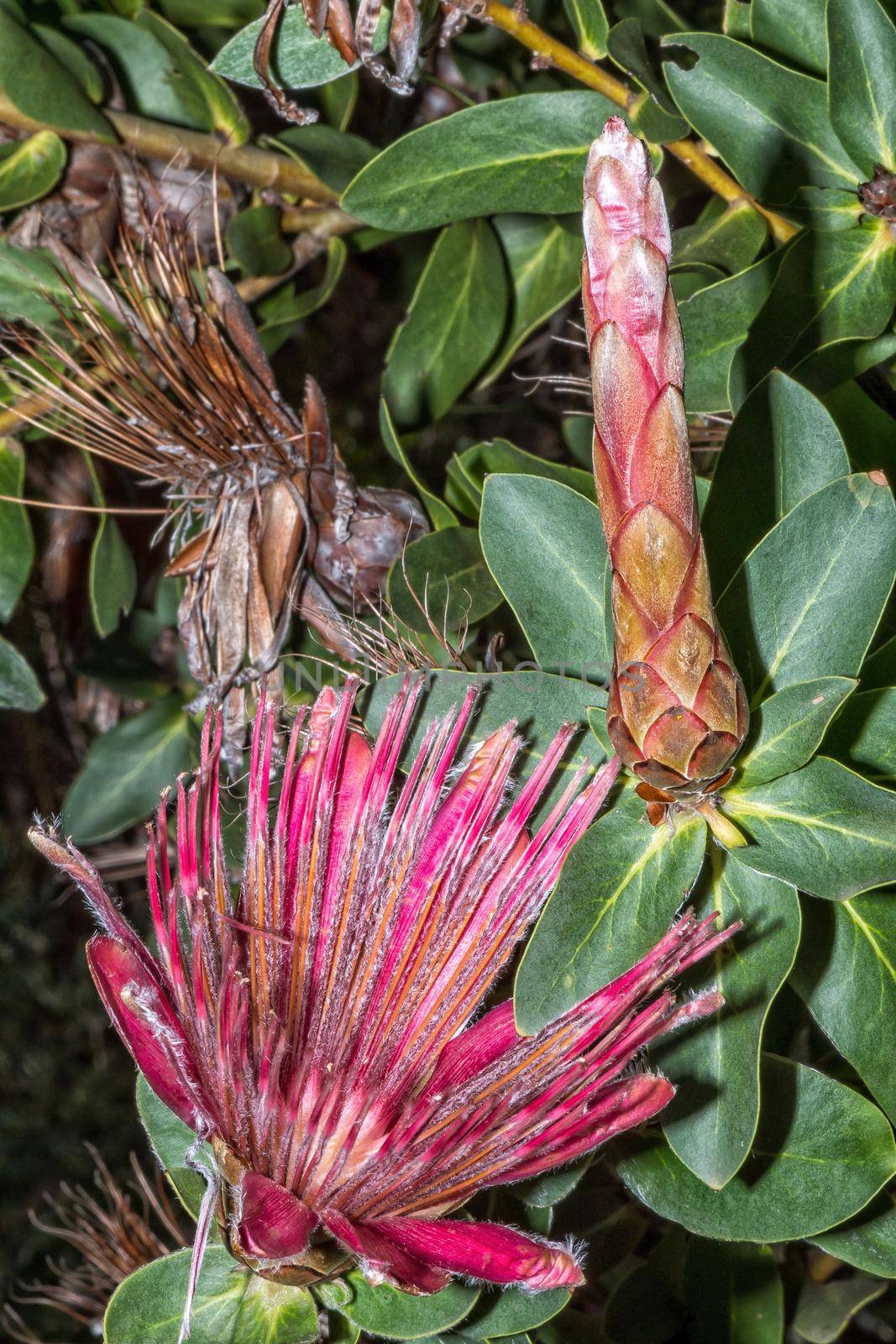
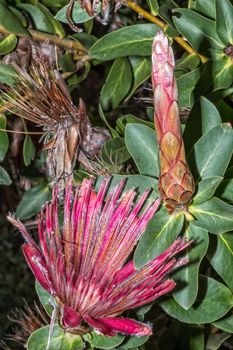
Shuttlecock Sugarbush, Protea Aurea, in the Helderberg Nature Reserve
Stock PhotoUsername
dpreezgResolution
2100x3150pxShuttlecock Sugarbush, Protea Aurea, in the Helderberg Nature Reserve
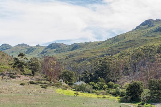
View of the Franschhoek Pass
Stock PhotoUsername
dpreezgResolution
3595x2400pxView of the Franschhoek Pass


Panoramic view from Clarence Drive towards Gordons Bay
Stock PhotoUsername
dpreezgResolution
4436x1800pxPanoramic view from Clarence Drive towards Gordons Bay
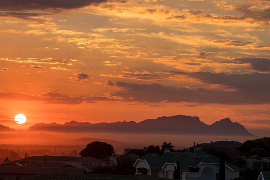
Sun is setting behind Fish Hoek accross False Bay
Stock PhotoUsername
dpreezgResolution
4050x2700pxSun is setting behind Fish Hoek accross False Bay
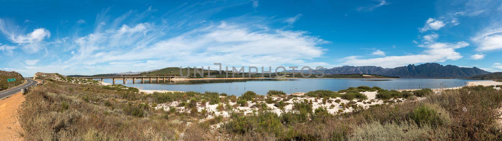
Theewaterskloof Dam in the Western Cape Province
Stock PhotoUsername
dpreezgResolution
8514x2400pxTheewaterskloof Dam in the Western Cape Province

Misty sunset view of Die Strand
Stock PhotoUsername
dpreezgResolution
3600x2400pxMisty sunset view of Die Strand

View from Clarence Drive towards Die Strand and Gordons Bay
Stock PhotoUsername
dpreezgResolution
3595x2400pxView from Clarence Drive towards Die Strand and Gordons Bay
View of the Franschhoek Pass
Stock PhotoUsername
dpreezgResolution
3595x2400pxView of the Franschhoek Pass
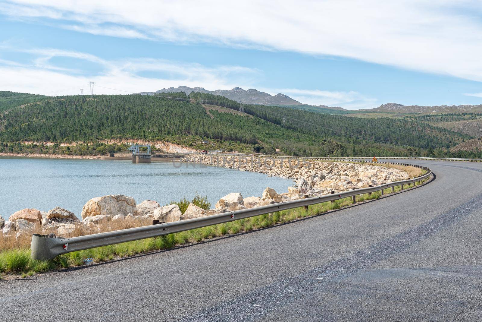
Road R43 crossing the Theewaterskloof dam wall
Stock PhotoUsername
dpreezgResolution
3595x2400pxRoad R43 crossing the Theewaterskloof dam wall

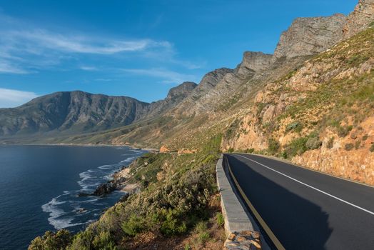
Clarence Drive between Pringle Bay and Gordons Bay
Stock PhotoUsername
dpreezgResolution
3595x2400pxClarence Drive between Pringle Bay and Gordons Bay
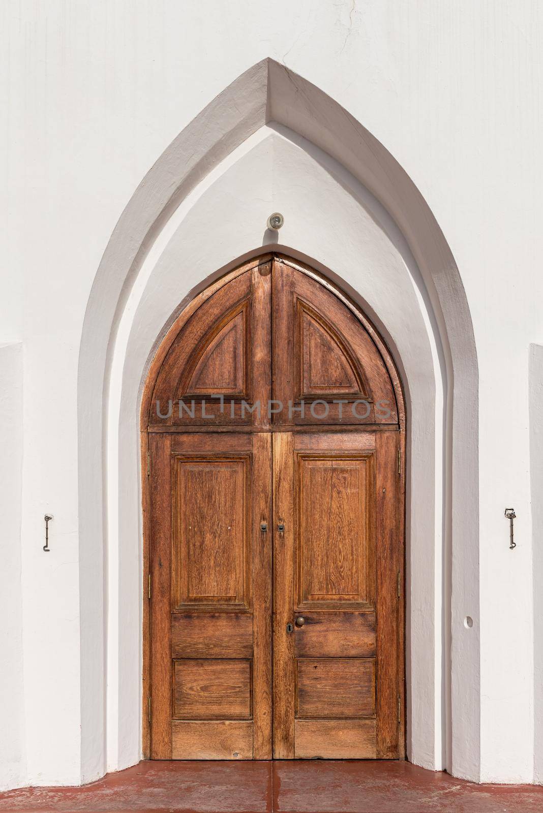
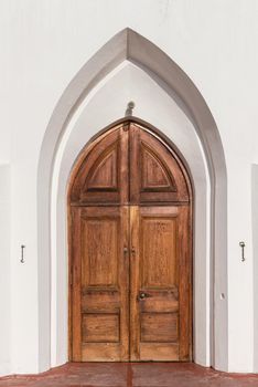
Door of the United Congregational Church in Pniel
Stock PhotoUsername
dpreezgResolution
2400x3595pxDoor of the United Congregational Church in Pniel

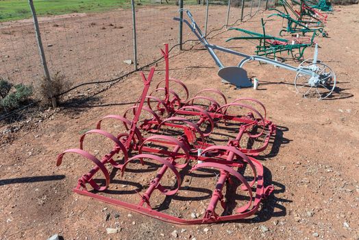
Historic spring tooth harrow
Stock PhotoUsername
dpreezgResolution
3595x2400pxHistoric spring tooth harrow

View of the Franschhoek Pass
Stock PhotoUsername
dpreezgResolution
3595x2400pxView of the Franschhoek Pass

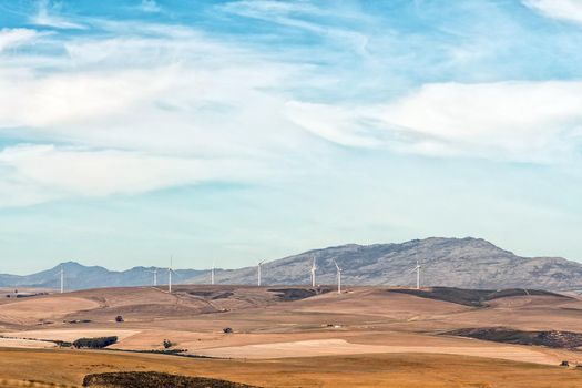
Wind turbines near Caledon as seen from road N2
Stock PhotoUsername
dpreezgResolution
3000x2000pxWind turbines near Caledon as seen from road N2
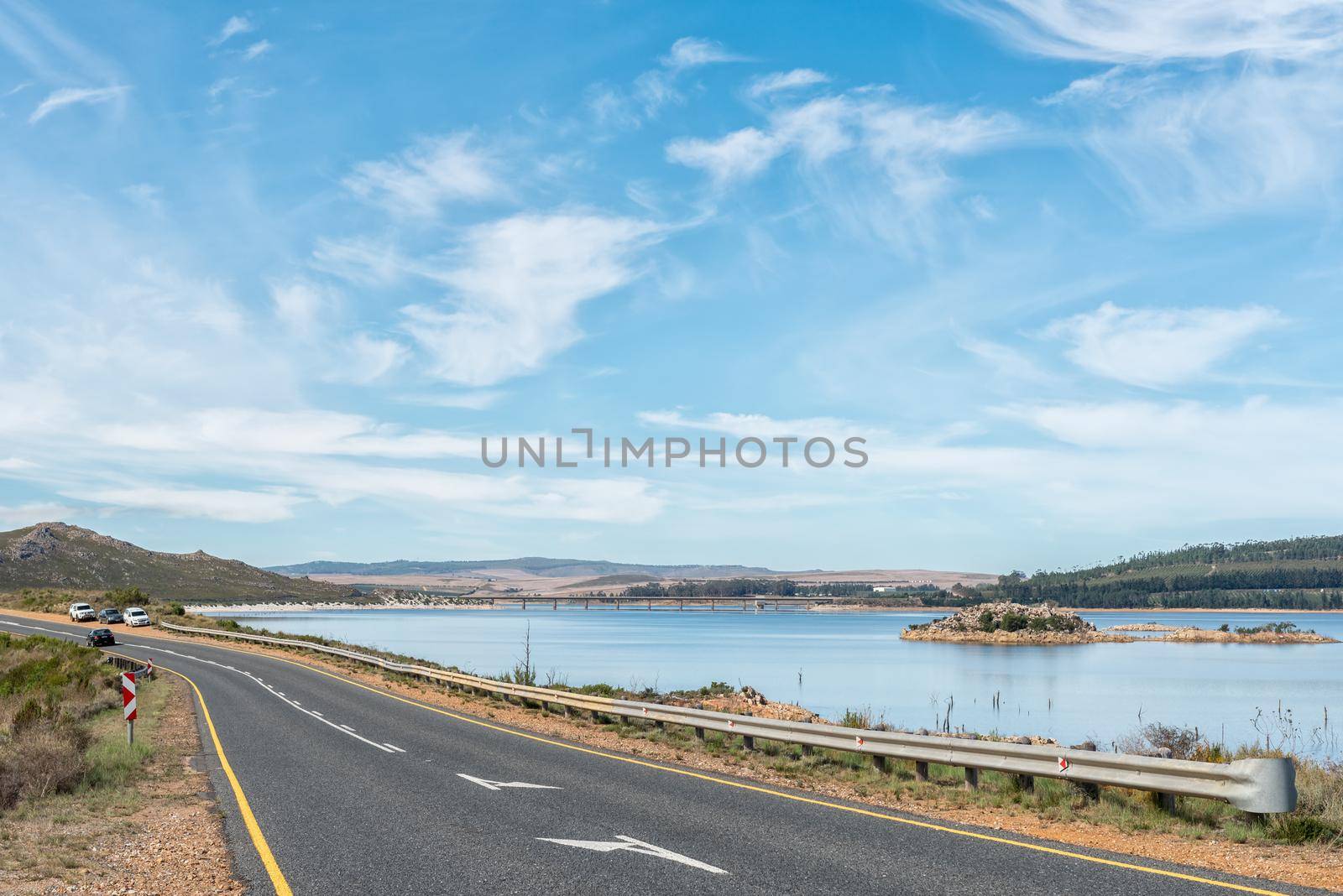
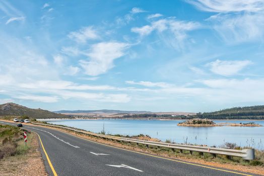
Landscape on road R43 between Theewaterskloof dam and road N2
Stock PhotoUsername
dpreezgResolution
3000x2003pxLandscape on road R43 between Theewaterskloof dam and road N2


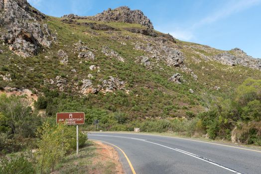
Franschhoek Pass crossing the Jan Joubertsgat Bridge
Stock PhotoUsername
dpreezgResolution
3595x2400pxFranschhoek Pass crossing the Jan Joubertsgat Bridge
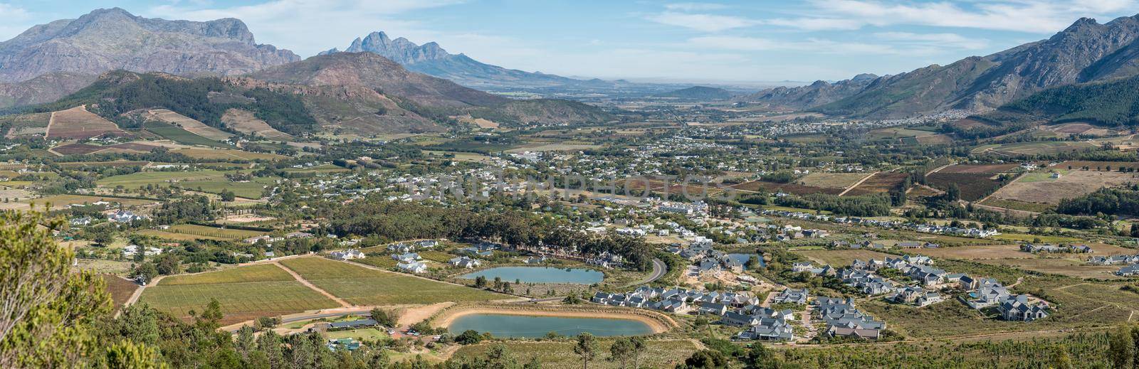
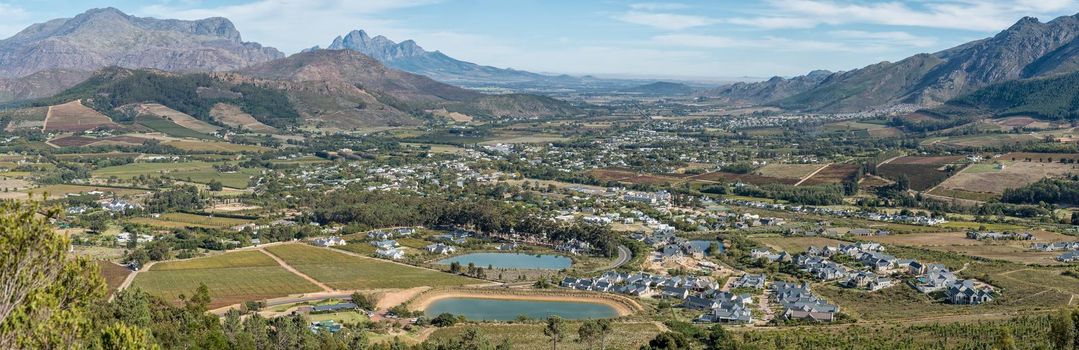
Panoramic view of Franschhoek
Stock PhotoUsername
dpreezgResolution
6163x2000pxPanoramic view of Franschhoek

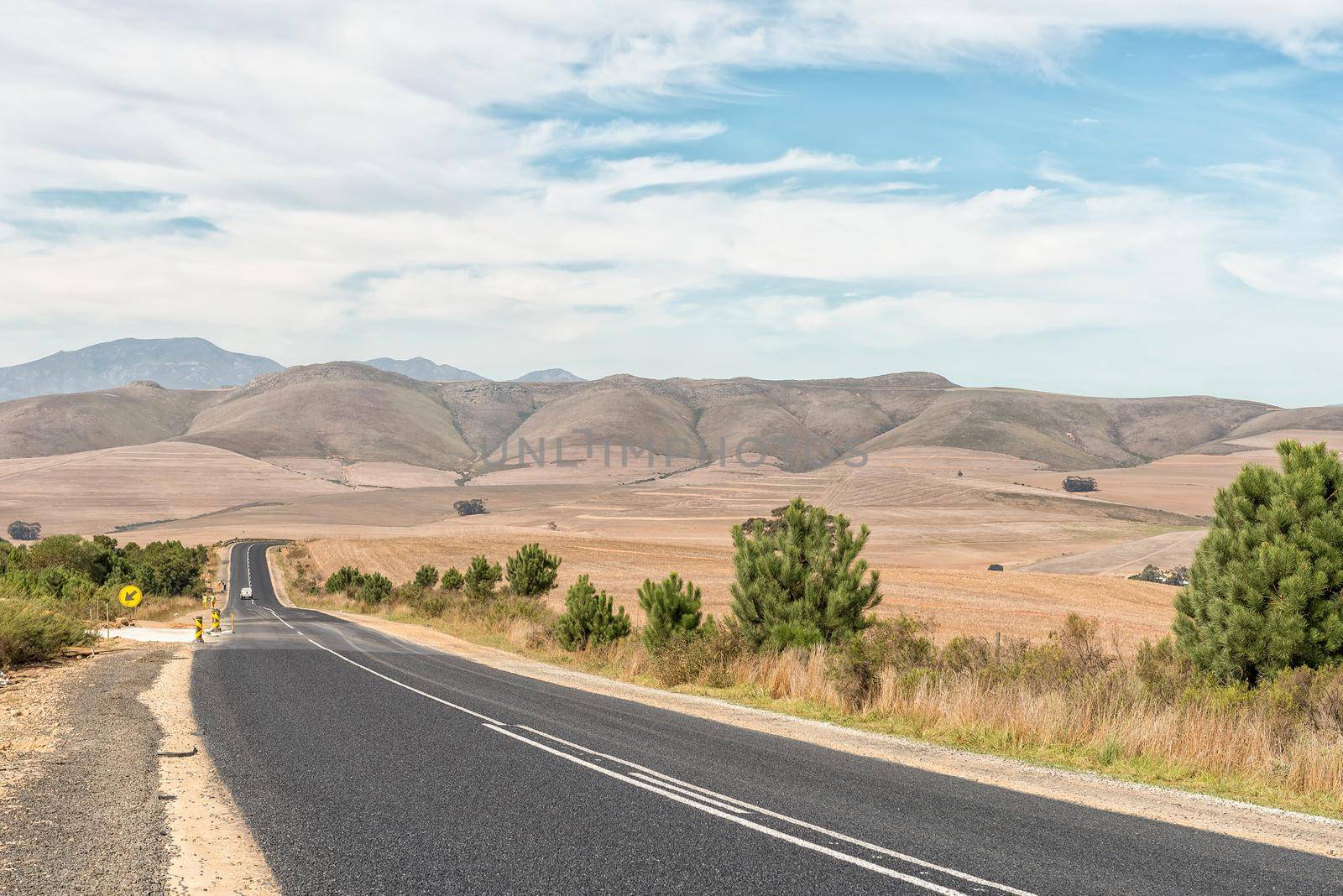
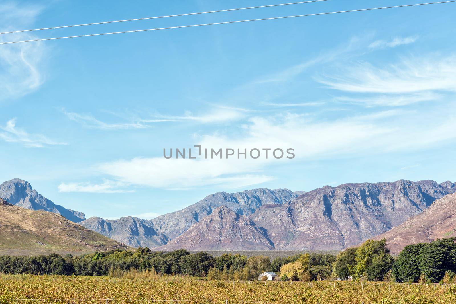
Farm landscape on road R320 between Caledon and Stanford
Stock PhotoUsername
dpreezgResolution
3595x2400pxFarm landscape on road R320 between Caledon and Stanford
Berg River Dam wall visible above the trees near Franschhoek
Stock PhotoUsername
dpreezgResolution
3595x2400pxBerg River Dam wall visible above the trees near Franschhoek

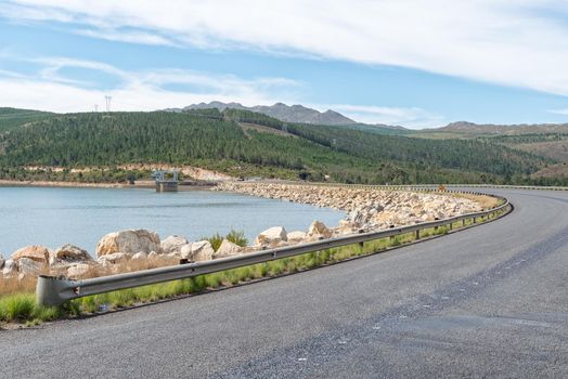
Theewaterskloof Dam in the Western Cape Province
Stock PhotoUsername
dpreezgResolution
3595x2400pxTheewaterskloof Dam in the Western Cape Province
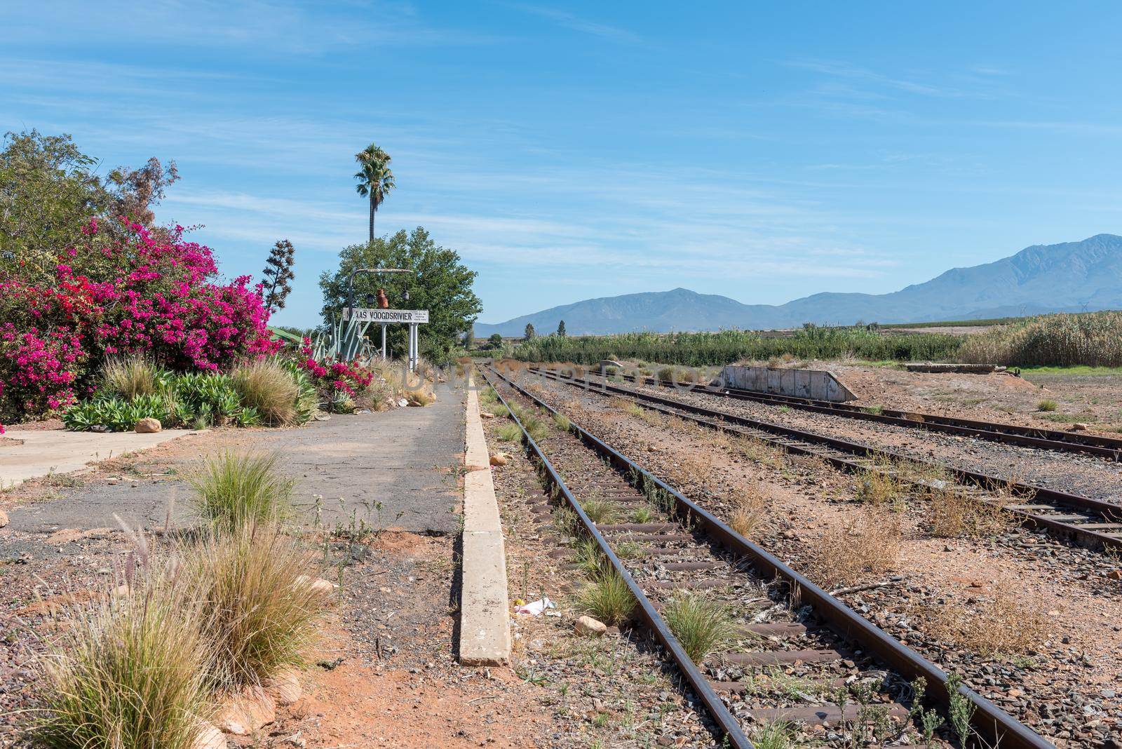
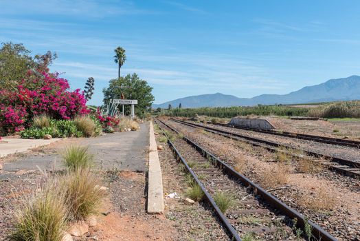
Klaas Voogdsrivier railway station near Ashton
Stock PhotoUsername
dpreezgResolution
3595x2400pxKlaas Voogdsrivier railway station near Ashton
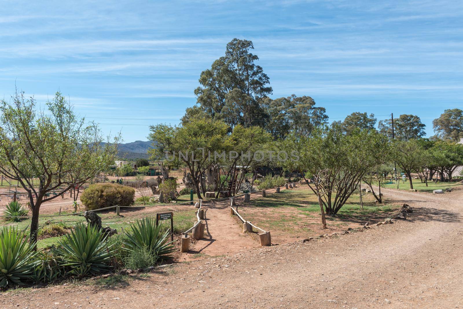
Memorial walk at Eseltjiesrus near McGregor
Stock PhotoUsername
dpreezgResolution
3595x2400pxMemorial walk at Eseltjiesrus near McGregor


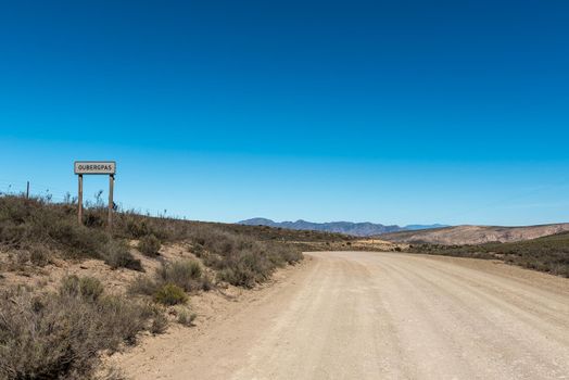
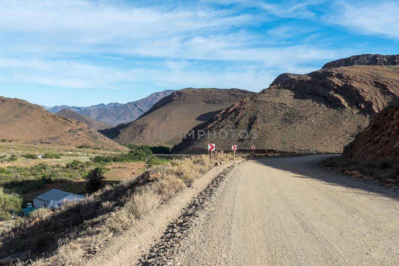
Start of the Ouberg Pass on road P0294
Stock PhotoUsername
dpreezgResolution
3595x2400pxStart of the Ouberg Pass on road P0294
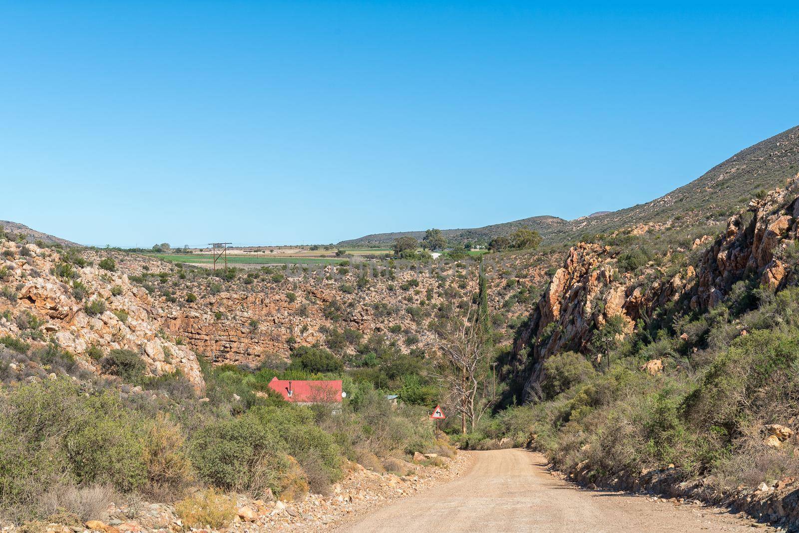
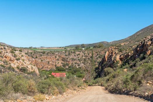
Prinsrivierpoort, a road pass on road P294
Stock PhotoUsername
dpreezgResolution
3595x2400pxPrinsrivierpoort, a road pass on road P294
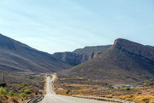
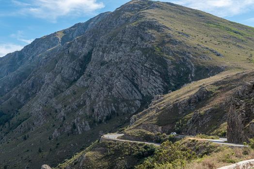
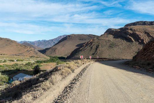
Koueveld Pass between Seweweekspoort and Laingsburg
Stock PhotoUsername
dpreezgResolution
3146x2100pxKoueveld Pass between Seweweekspoort and Laingsburg

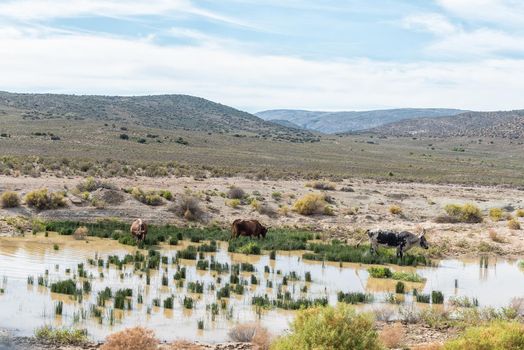
Cattle grazing in a dam
Stock PhotoUsername
dpreezgResolution
3595x2400pxCattle grazing in a dam
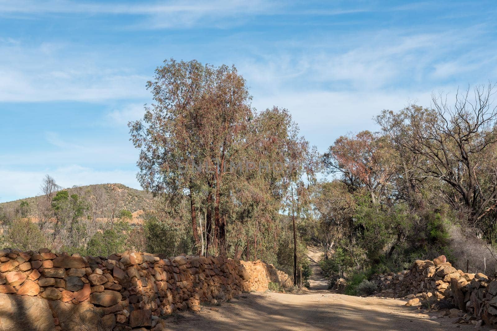
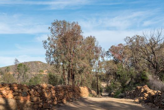
Road with historic stone boundary walls on a farm
Stock PhotoUsername
dpreezgResolution
3595x2400pxRoad with historic stone boundary walls on a farm