- Filter By:
-
-
Stock photos and images of username:dpreezg
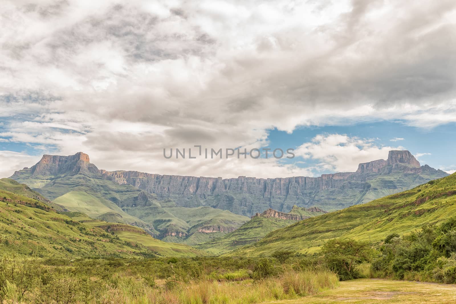
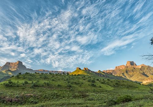
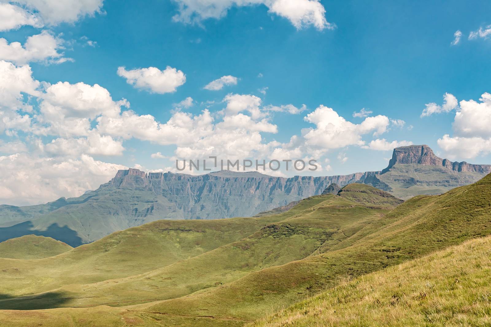
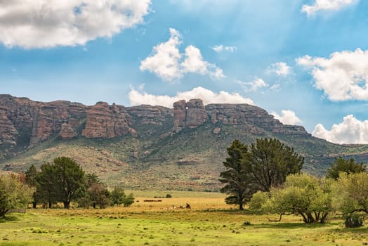
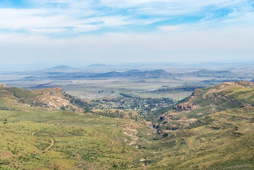
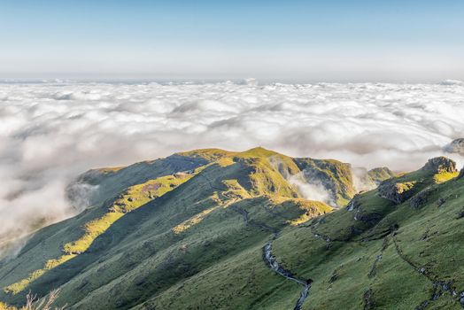
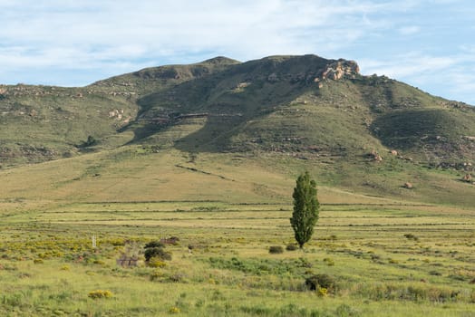
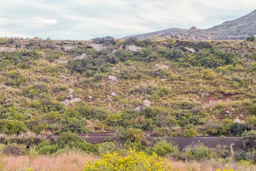
Amphitheatre in the Kwazulu-Natal Drakensberg
Stock PhotoUsername
dpreezgResolution
3595x2400pxAmphitheatre in the Kwazulu-Natal Drakensberg

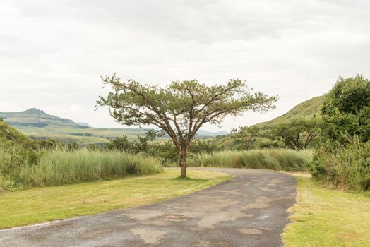
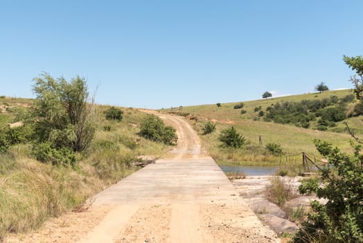
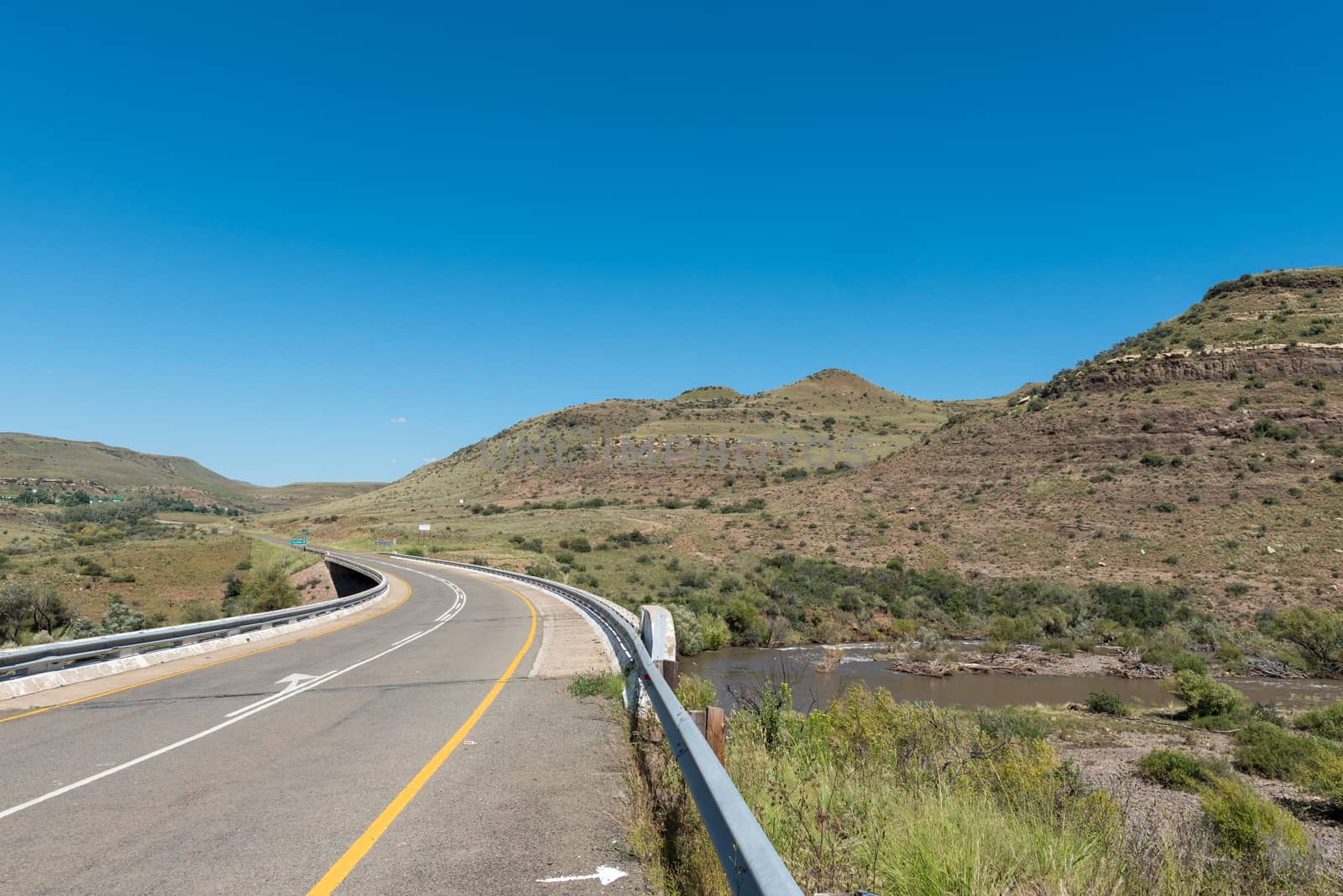
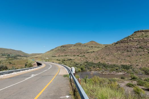
Road to start of Tugela Gorge hiking trail in Drakensberg
Stock PhotoUsername
dpreezgResolution
3595x2400pxRoad to start of Tugela Gorge hiking trail in Drakensberg

The hairpin bends in the Sani Pass
Stock PhotoUsername
dpreezgResolution
3613x2400pxThe hairpin bends in the Sani Pass
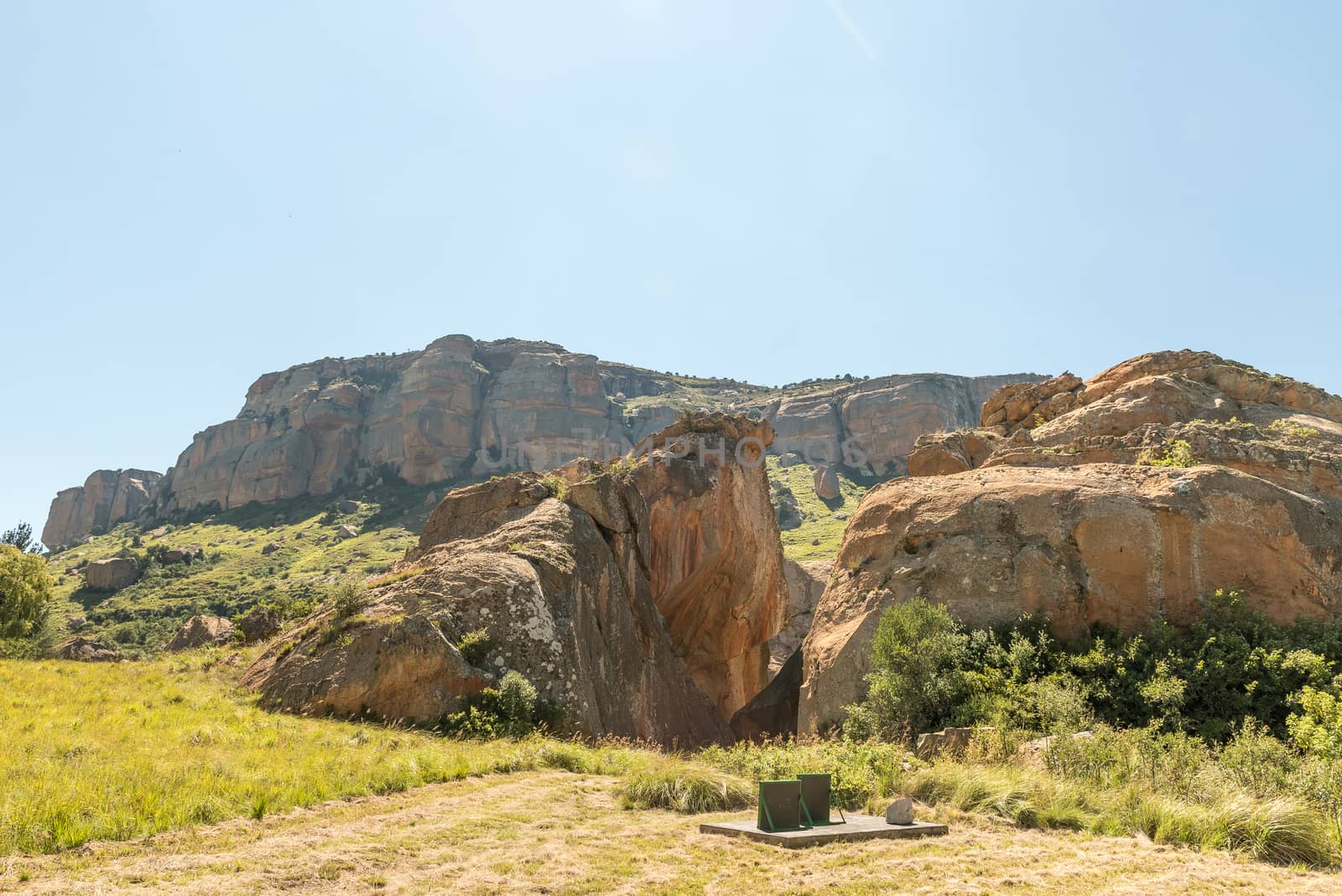
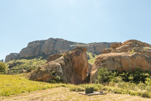
Retiefklip historic site in the Free State near Oliviershoek Pas
Stock PhotoUsername
dpreezgResolution
3592x2400pxRetiefklip historic site in the Free State near Oliviershoek Pas
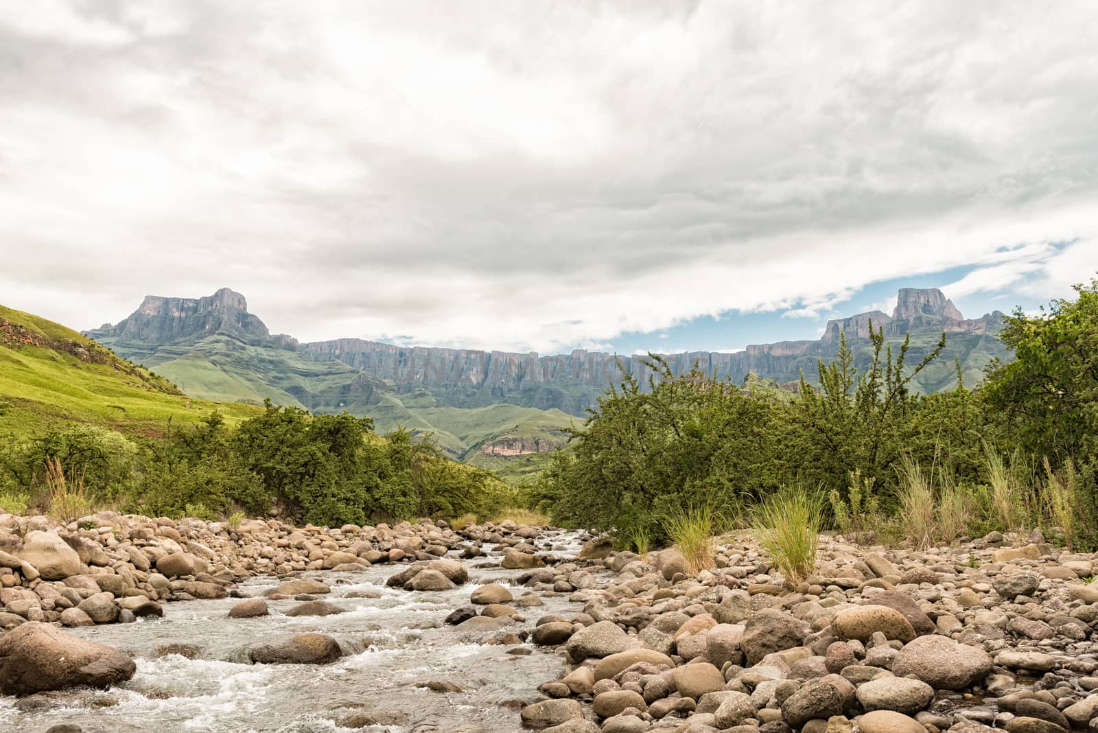
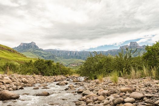
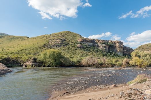
Tugela River and the Amphitheatre in the Kwazulu-Natal Drakensbe
Stock PhotoUsername
dpreezgResolution
3595x2400pxTugela River and the Amphitheatre in the Kwazulu-Natal Drakensbe

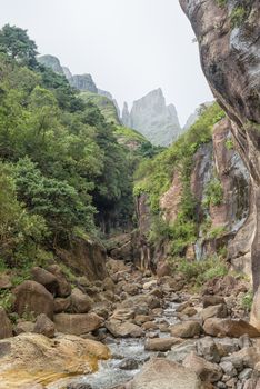
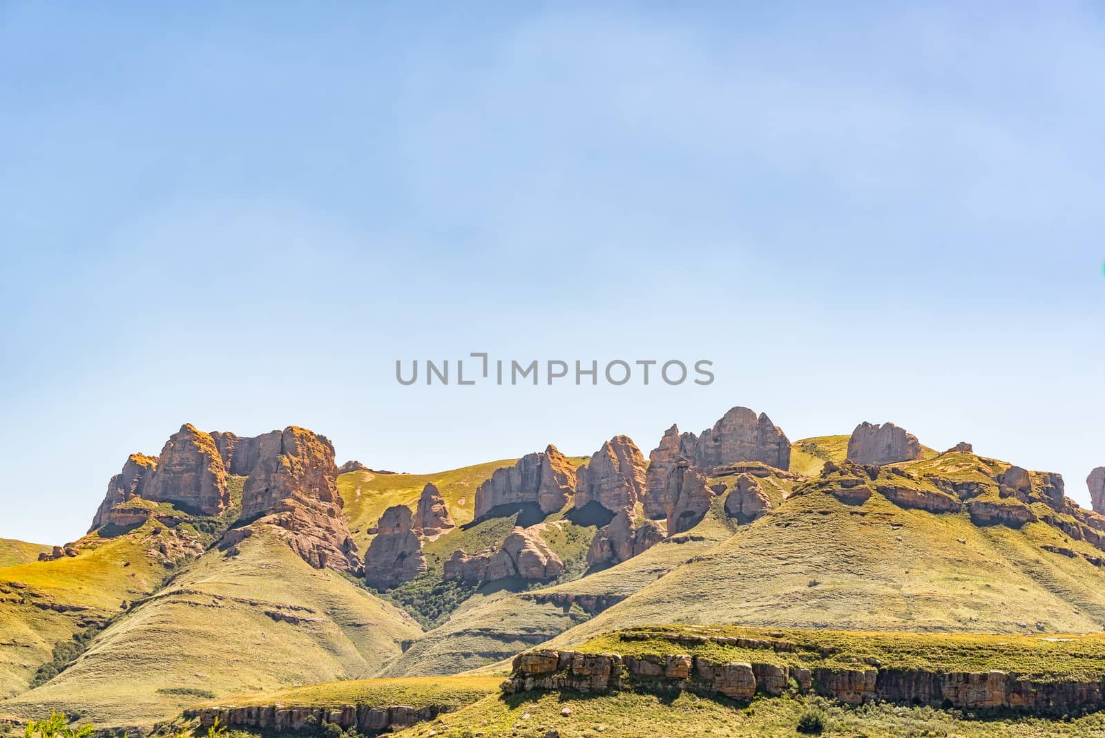
Devils Tooth Gully with Devils Tooth and Toothpick in back
Stock PhotoUsername
dpreezgResolution
2400x3595pxDevils Tooth Gully with Devils Tooth and Toothpick in back
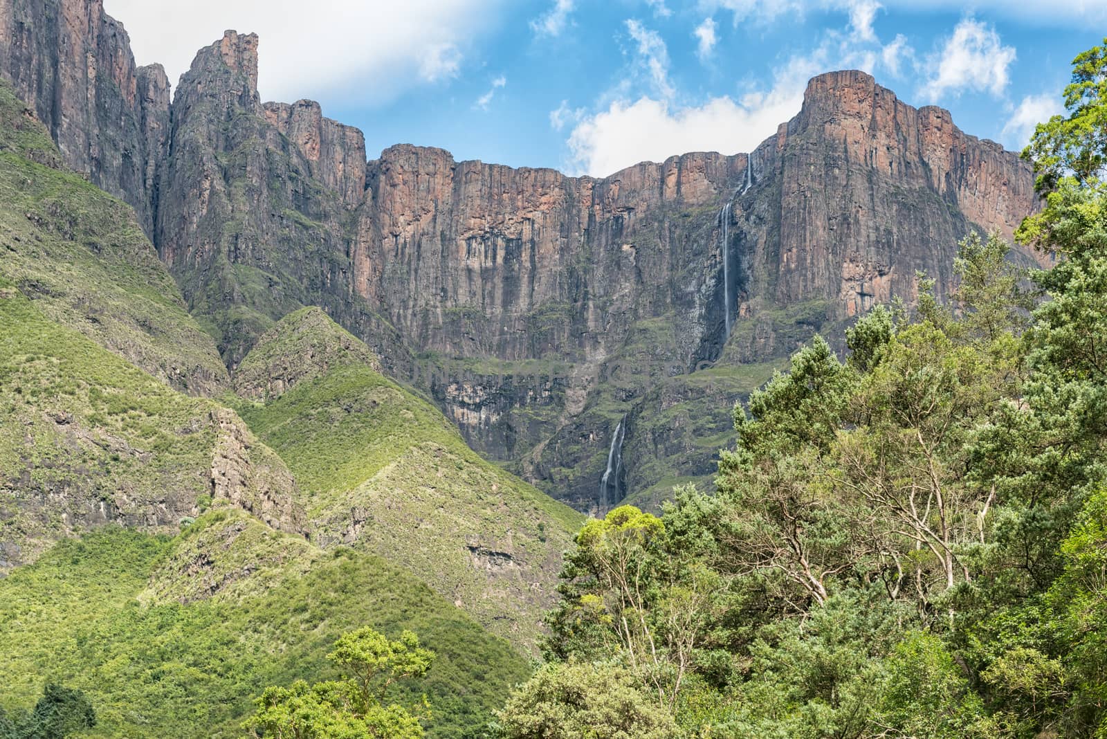
Tugela Falls, at 948m, the 2nd tallest waterfall on earth
Stock PhotoUsername
dpreezgResolution
3595x2400pxTugela Falls, at 948m, the 2nd tallest waterfall on earth

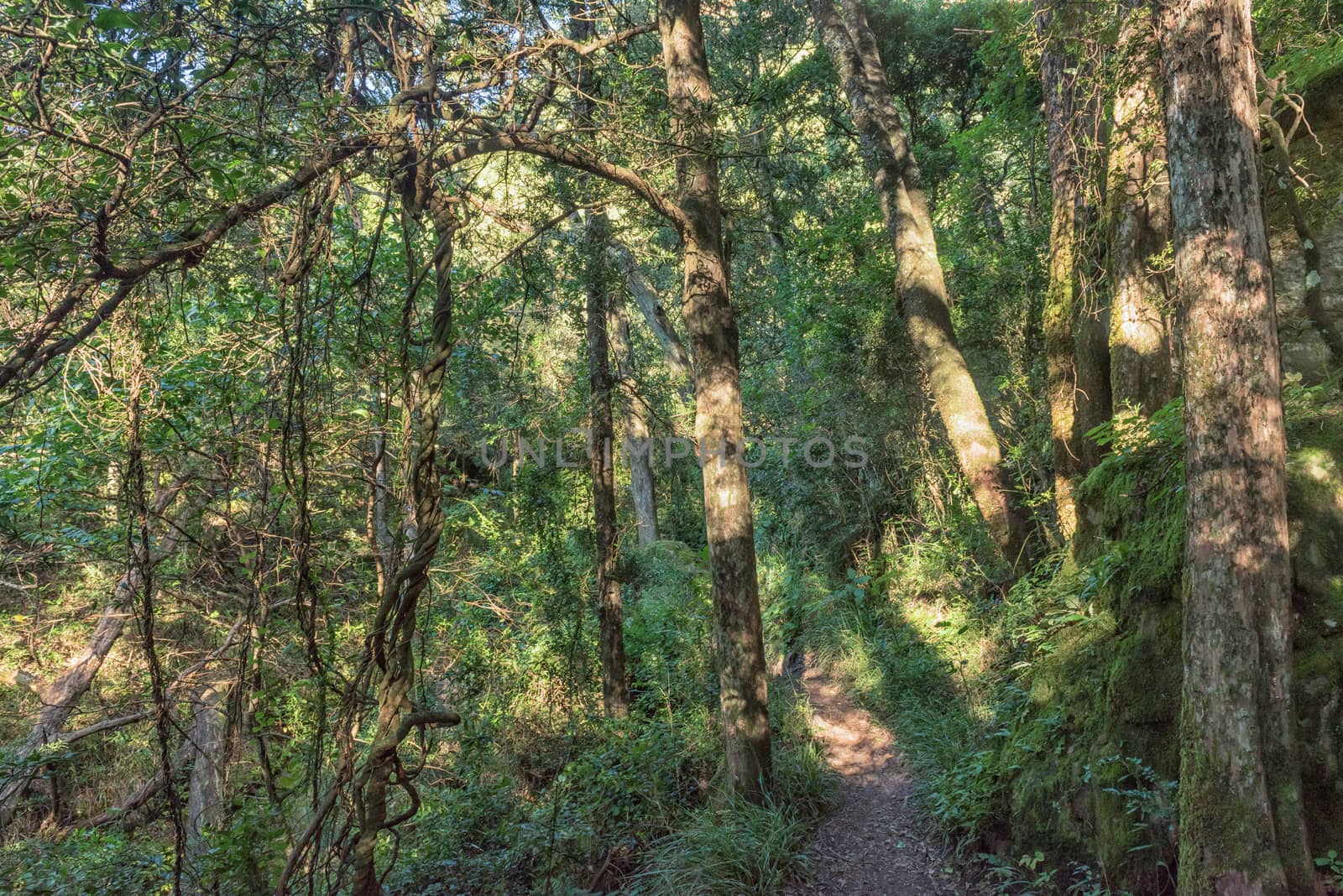
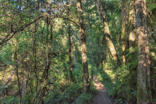
Forest on the Tugela Gorge hiking trail
Stock PhotoUsername
dpreezgResolution
3595x2400pxForest on the Tugela Gorge hiking trail
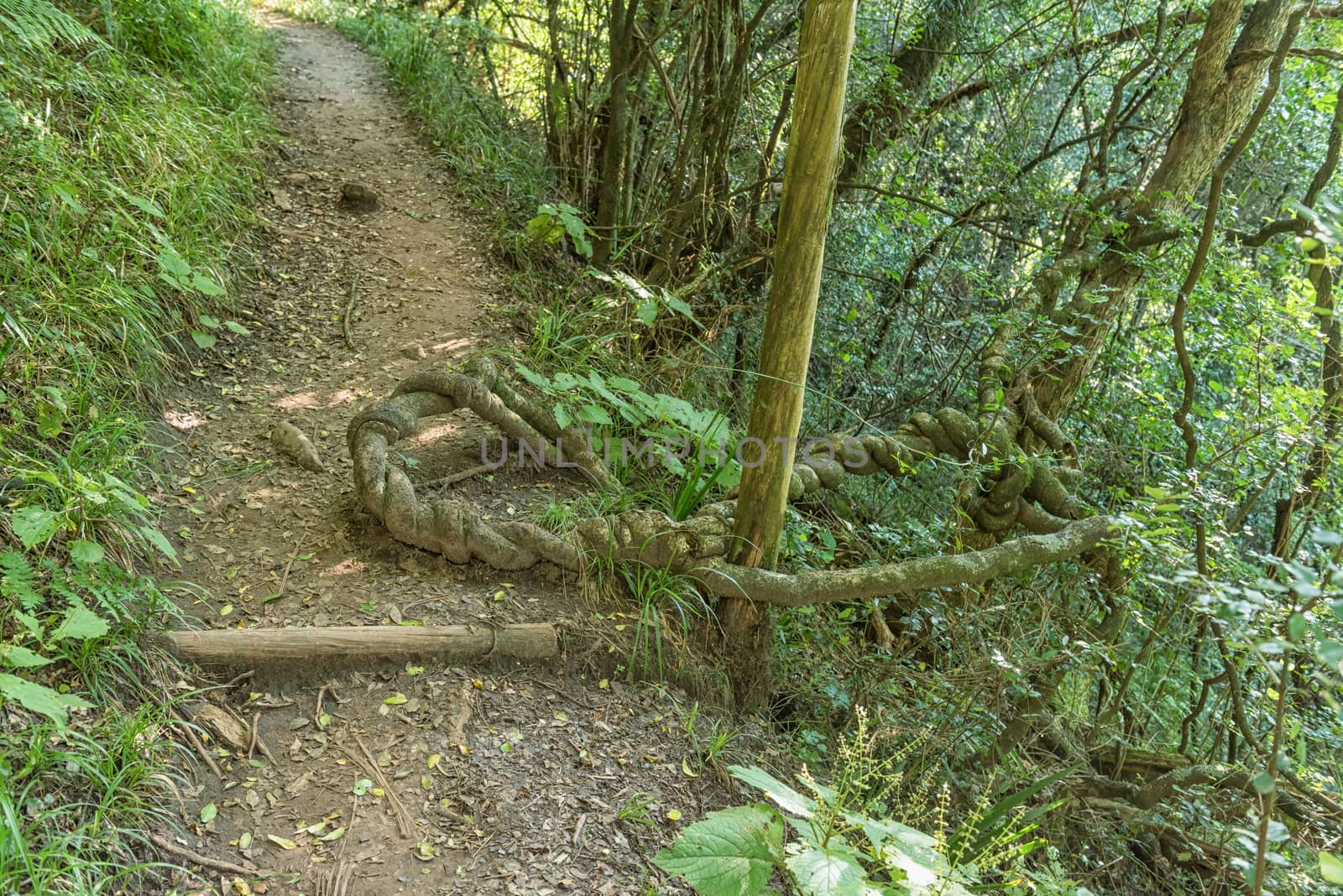
Strangler plant on the Tugela Gorge hiking trail
Stock PhotoUsername
dpreezgResolution
3595x2400pxStrangler plant on the Tugela Gorge hiking trail


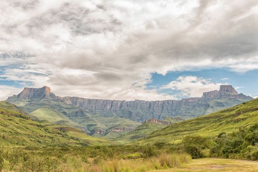
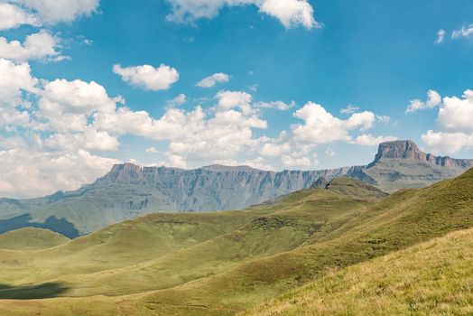
Amphitheatre in the Kwazulu-Natal Drakensberg
Stock PhotoUsername
dpreezgResolution
3428x2400pxAmphitheatre in the Kwazulu-Natal Drakensberg
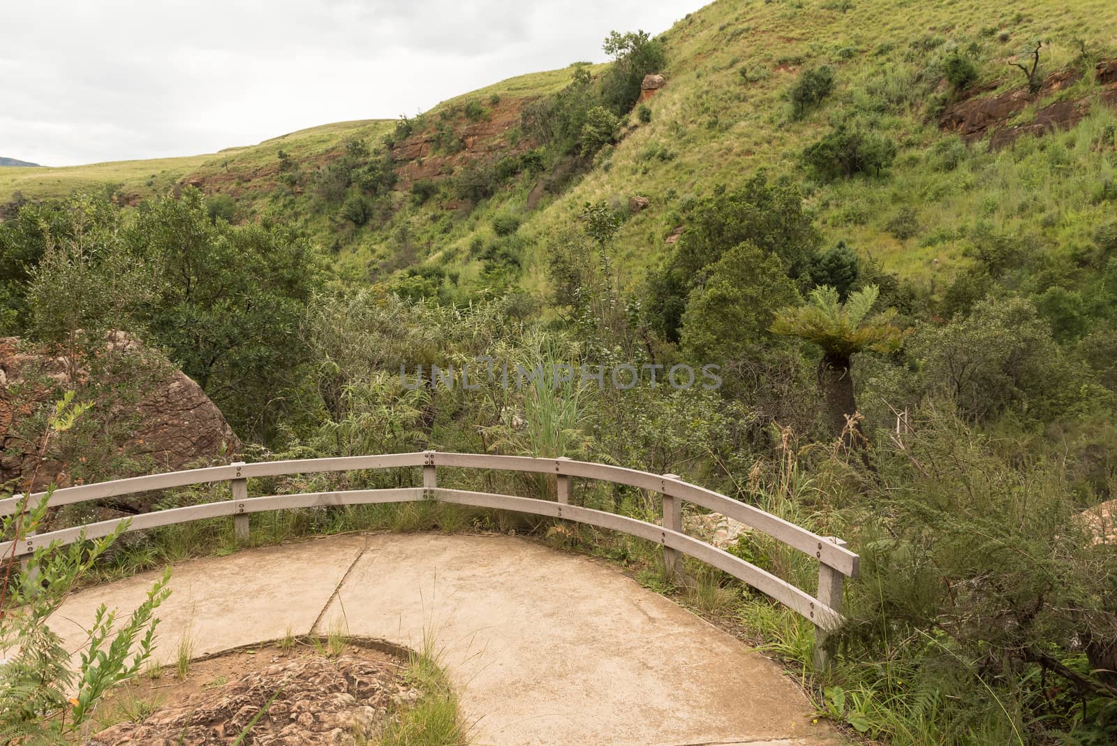
Hiking trail to the Cascades near Mahai in Kwazulu-Natal
Stock PhotoUsername
dpreezgResolution
3595x2400pxHiking trail to the Cascades near Mahai in Kwazulu-Natal


Bridge on the road to Retiefklip at Kerkenberg
Stock PhotoUsername
dpreezgResolution
3595x2400pxBridge on the road to Retiefklip at Kerkenberg
View of the Amphitheatre as seen from Witsieshoek Mountain Resor
Stock PhotoUsername
dpreezgResolution
3595x2400pxView of the Amphitheatre as seen from Witsieshoek Mountain Resor

Road to the Sentinel car park in the Drakensberg
Stock PhotoUsername
dpreezgResolution
3595x2400pxRoad to the Sentinel car park in the Drakensberg
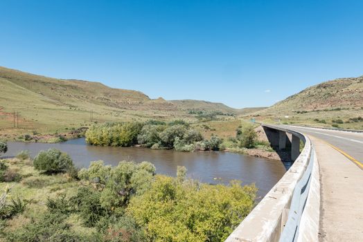
Road bridge over the Caledon River near Wepener
Stock PhotoUsername
dpreezgResolution
3595x2400pxRoad bridge over the Caledon River near Wepener


View of the Eye in Aasvoelberg at Zastron
Stock PhotoUsername
dpreezgResolution
3595x2400pxView of the Eye in Aasvoelberg at Zastron
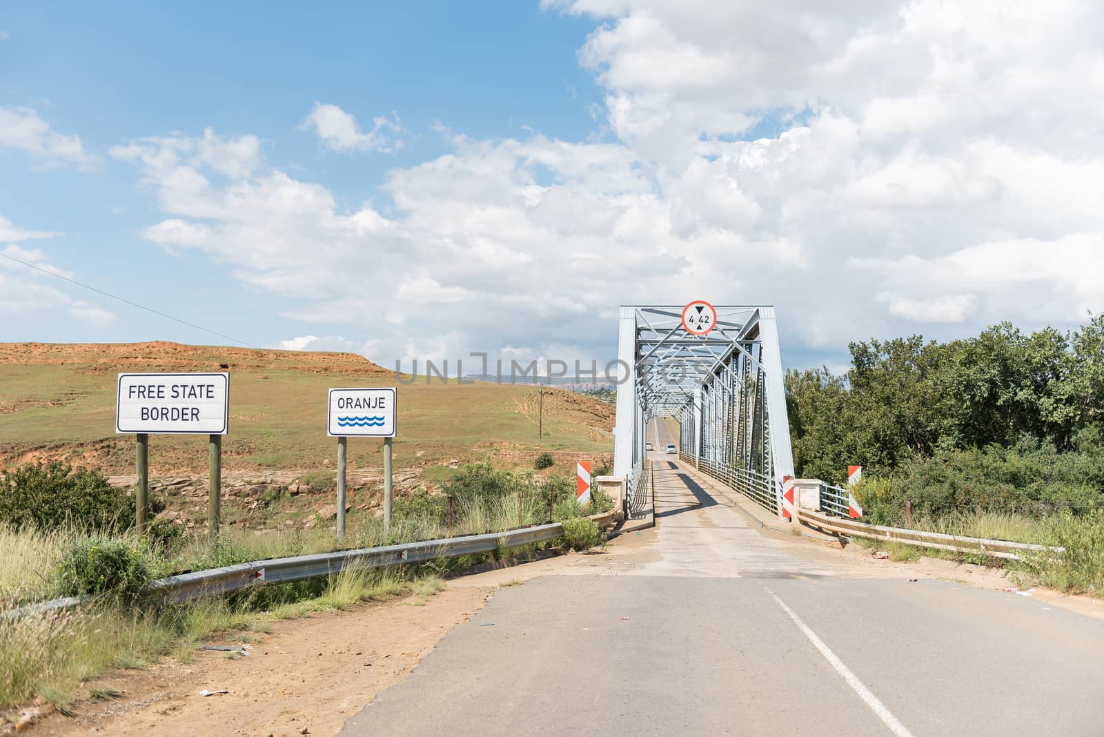
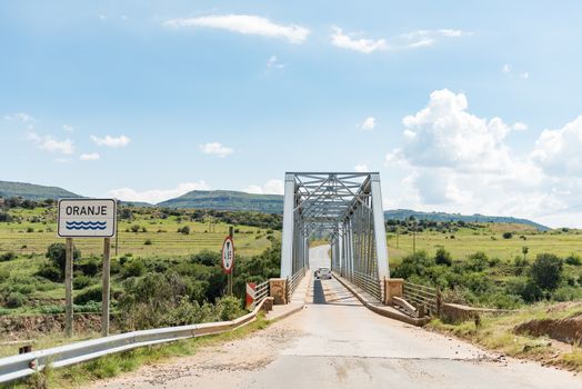
Bridge over the Orange River between Sterkspruit and Zastron
Stock PhotoUsername
dpreezgResolution
3595x2400pxBridge over the Orange River between Sterkspruit and Zastron
View from the historic Jouberts Pass at Lady Grey
Stock PhotoUsername
dpreezgResolution
3595x2400pxView from the historic Jouberts Pass at Lady Grey
Railway bridge over Karnmelk River in the third railway reverse
Stock PhotoUsername
dpreezgResolution
2400x3593pxRailway bridge over Karnmelk River in the third railway reverse


Sentinel Trail to the Tugela Falls in the Drakensberg
Stock PhotoUsername
dpreezgResolution
3595x2400pxSentinel Trail to the Tugela Falls in the Drakensberg

Mushroom Rock at Golden Gate in the Free State Province
Stock PhotoUsername
dpreezgResolution
3595x2400pxMushroom Rock at Golden Gate in the Free State Province

Sentinel Trail to the Tugela Falls in the Drakensberg
Stock PhotoUsername
dpreezgResolution
3595x2400pxSentinel Trail to the Tugela Falls in the Drakensberg
View from Echo Ravine at Golden Gate, Free State Province
Stock PhotoUsername
dpreezgResolution
2400x3595pxView from Echo Ravine at Golden Gate, Free State Province


Dam in the Little Caledon River at Golden Gate
Stock PhotoUsername
dpreezgResolution
3595x2400pxDam in the Little Caledon River at Golden Gate

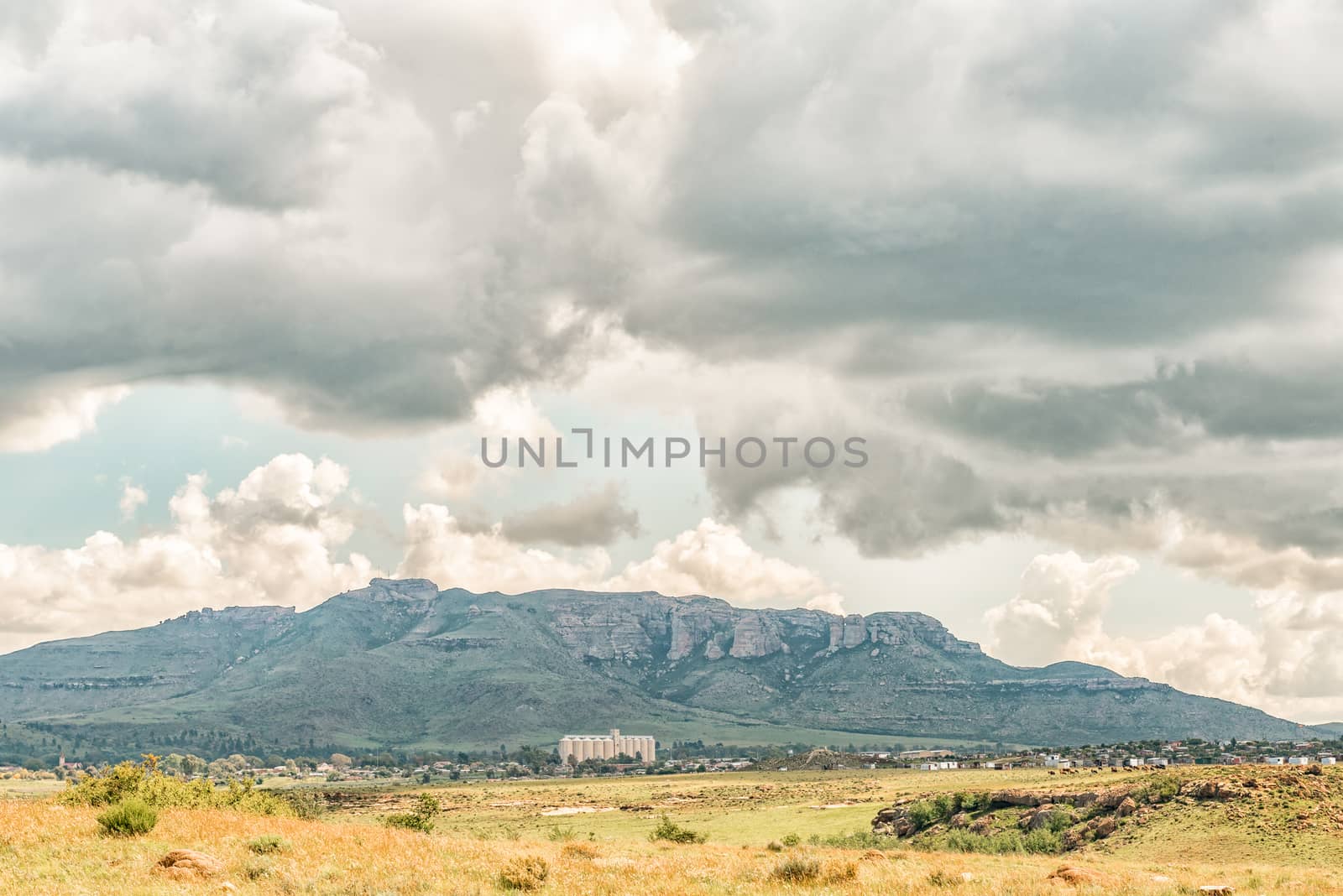
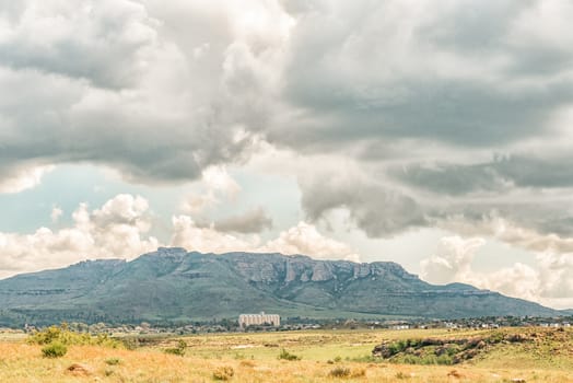
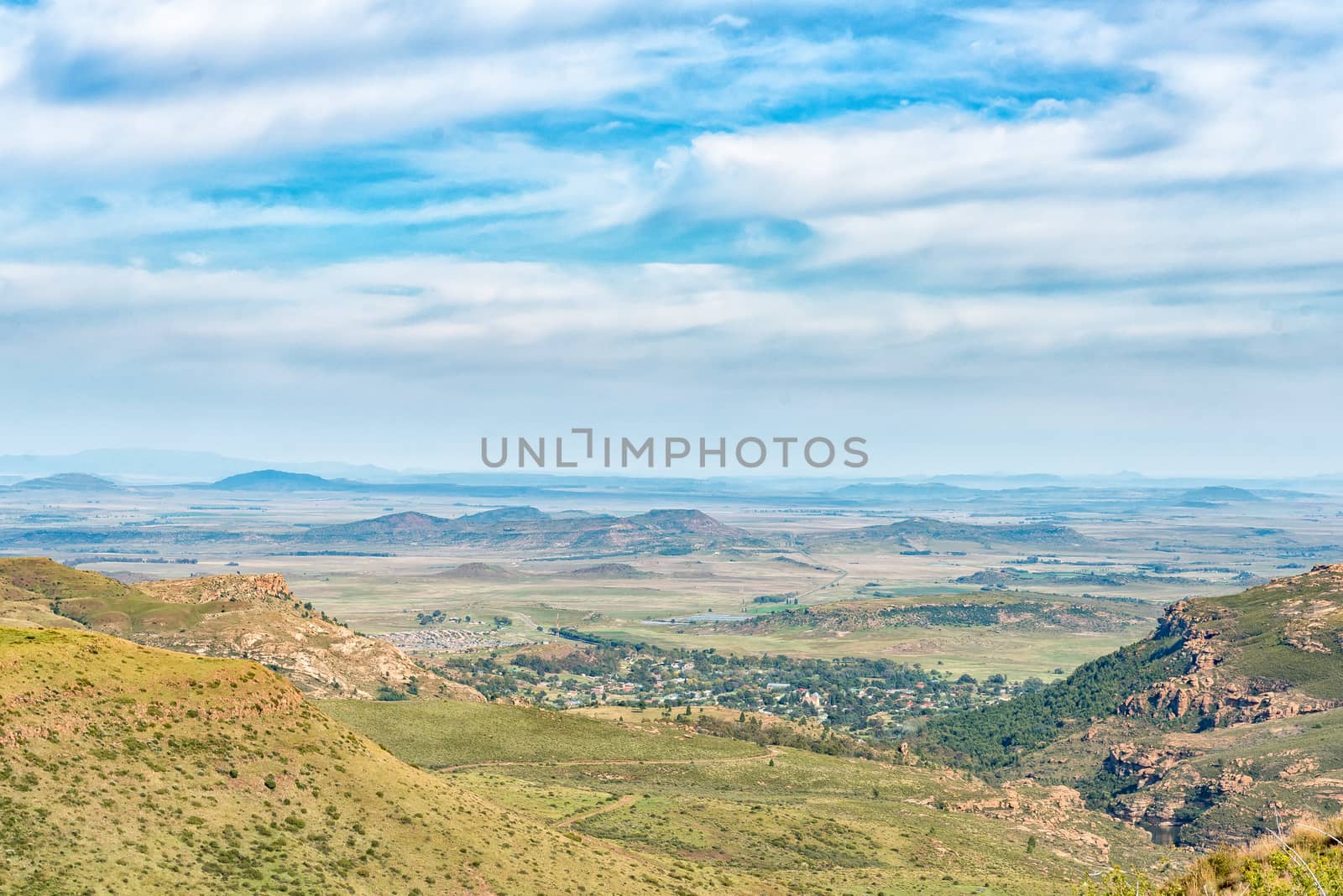
View of Zastron in the Free State Province
Stock PhotoUsername
dpreezgResolution
3146x2100pxView of Zastron in the Free State Province
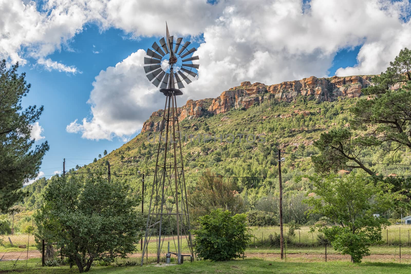
Street scene with a water-pumping windmill in Lady Grey
Stock PhotoUsername
dpreezgResolution
3595x2400pxStreet scene with a water-pumping windmill in Lady Grey

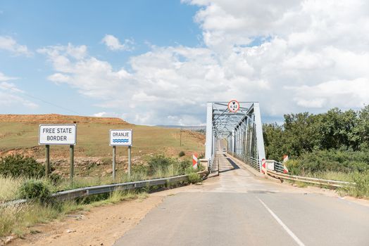
Bridge over the Orange River between Sterkspruit and Zastron
Stock PhotoUsername
dpreezgResolution
3595x2400pxBridge over the Orange River between Sterkspruit and Zastron

Eastern view from the historic Jouberts Pass at Lady Grey
Stock PhotoUsername
dpreezgResolution
3595x2400pxEastern view from the historic Jouberts Pass at Lady Grey
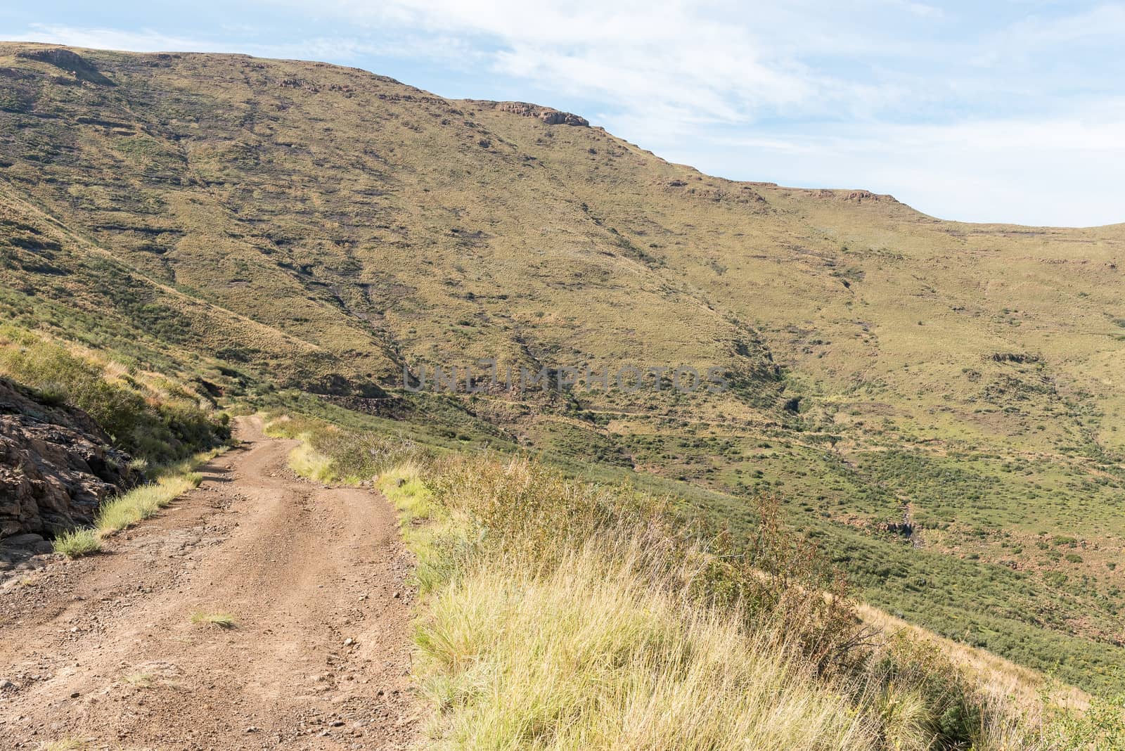
View from the historic Jouberts Pass at Lady Grey
Stock PhotoUsername
dpreezgResolution
3595x2400pxView from the historic Jouberts Pass at Lady Grey
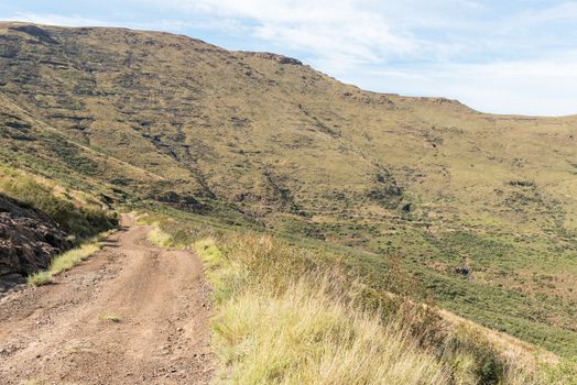
View from the historic Jouberts Pass at Lady Grey
Stock PhotoUsername
dpreezgResolution
3595x2400pxView from the historic Jouberts Pass at Lady Grey

Ian se Afgrond in Jouberts Pass at Lady Grey
Stock PhotoUsername
dpreezgResolution
3595x2400pxIan se Afgrond in Jouberts Pass at Lady Grey
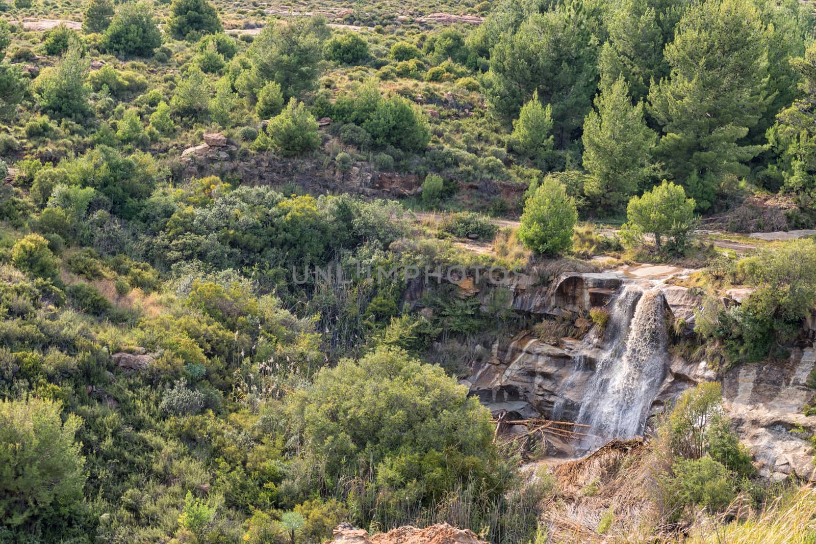
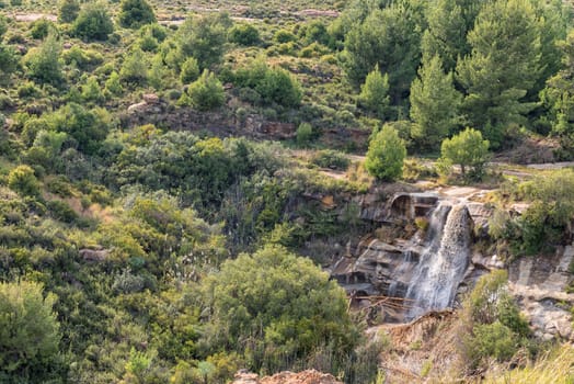
Waterfall in the historic Jouberts Pass at Lady Grey
Stock PhotoUsername
dpreezgResolution
3595x2400pxWaterfall in the historic Jouberts Pass at Lady Grey
First railway reverse at the Melk (milk) railway station
Stock PhotoUsername
dpreezgResolution
3595x2400pxFirst railway reverse at the Melk (milk) railway station

Railway bridge over Karnmelk River in the third railway reverse
Stock PhotoUsername
dpreezgResolution
3595x2400pxRailway bridge over Karnmelk River in the third railway reverse
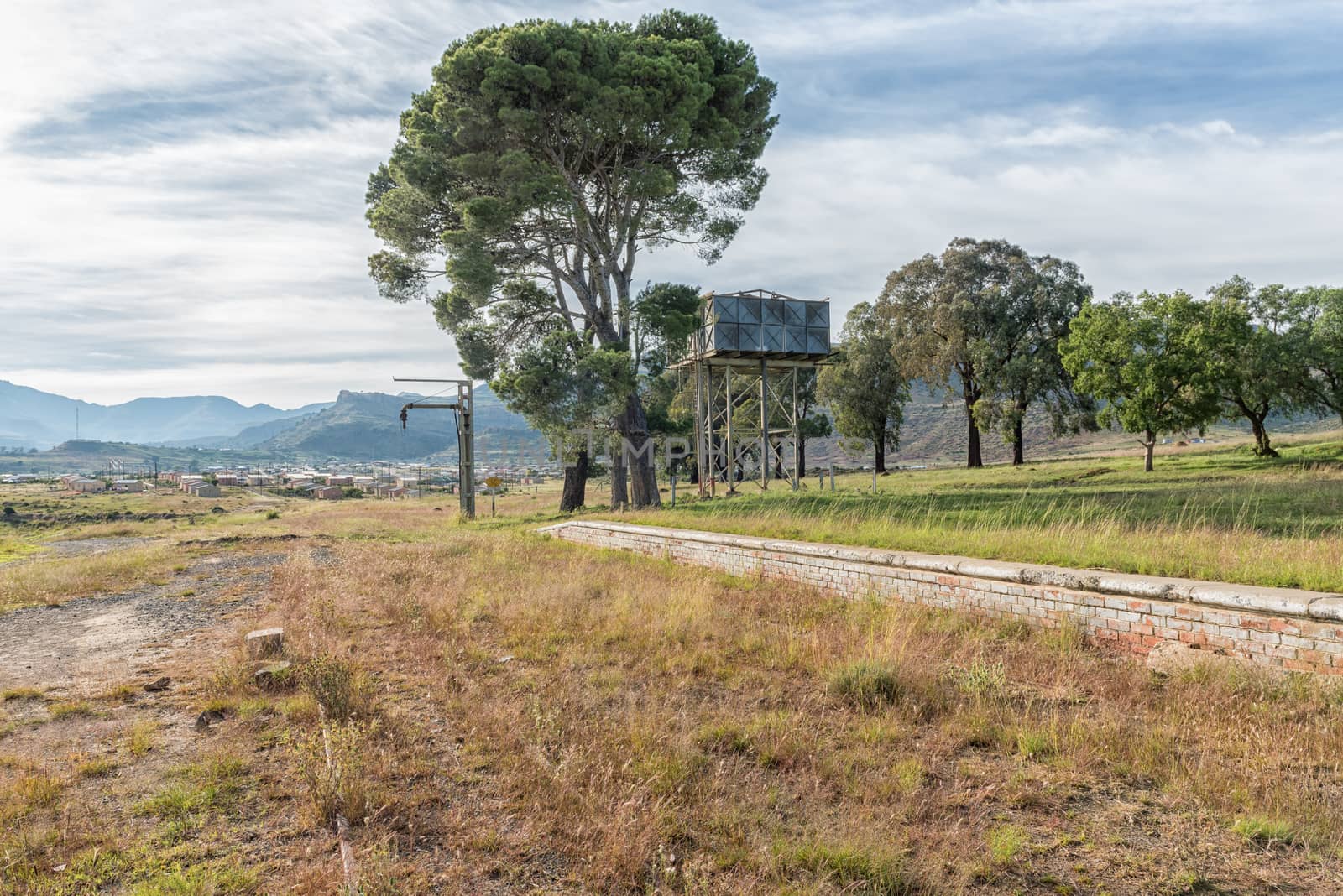
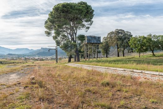
Relics of steam era at the station at Lady Grey
Stock PhotoUsername
dpreezgResolution
3595x2400pxRelics of steam era at the station at Lady Grey

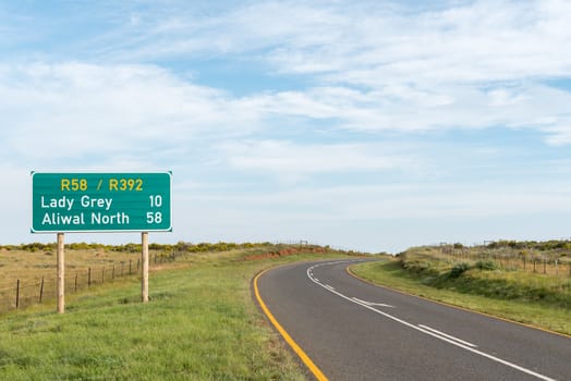
Distance sign between Lady Grey and Barkly East
Stock PhotoUsername
dpreezgResolution
3595x2400pxDistance sign between Lady Grey and Barkly East
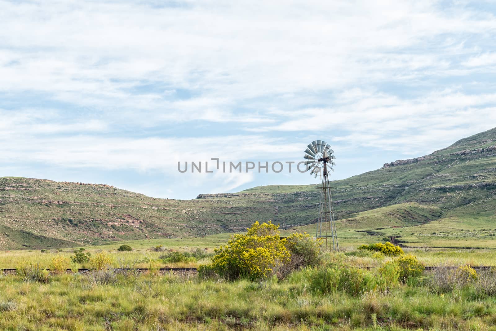
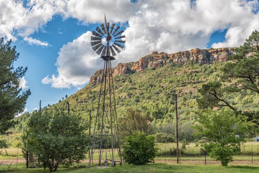
Water-pumping windmill and historic railway track near Lady Grey
Stock PhotoUsername
dpreezgResolution
3595x2400pxWater-pumping windmill and historic railway track near Lady Grey

Railway bridge over Karnmelk River in the third railway reverse
Stock PhotoUsername
dpreezgResolution
3595x2400pxRailway bridge over Karnmelk River in the third railway reverse

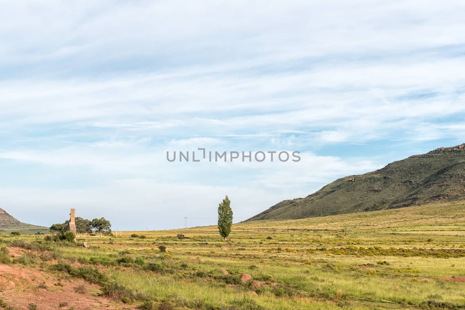
Ruin of the Melk railway station near Lady Grey
Stock PhotoUsername
dpreezgResolution
3595x2400pxRuin of the Melk railway station near Lady Grey
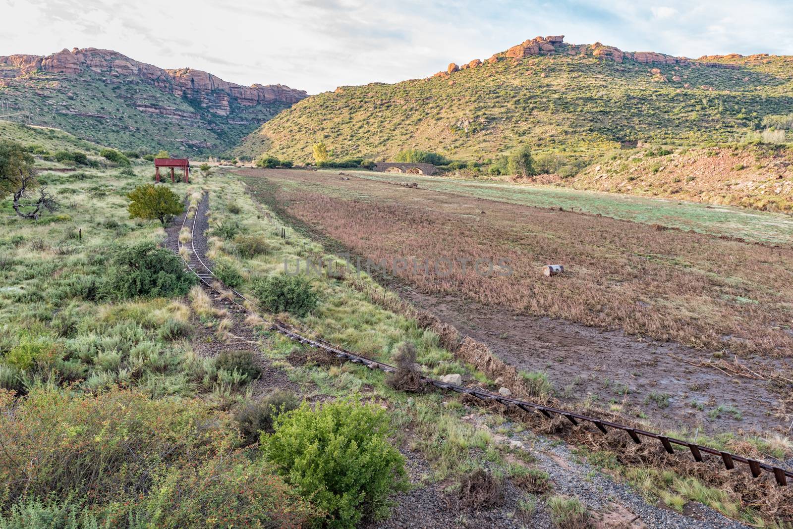
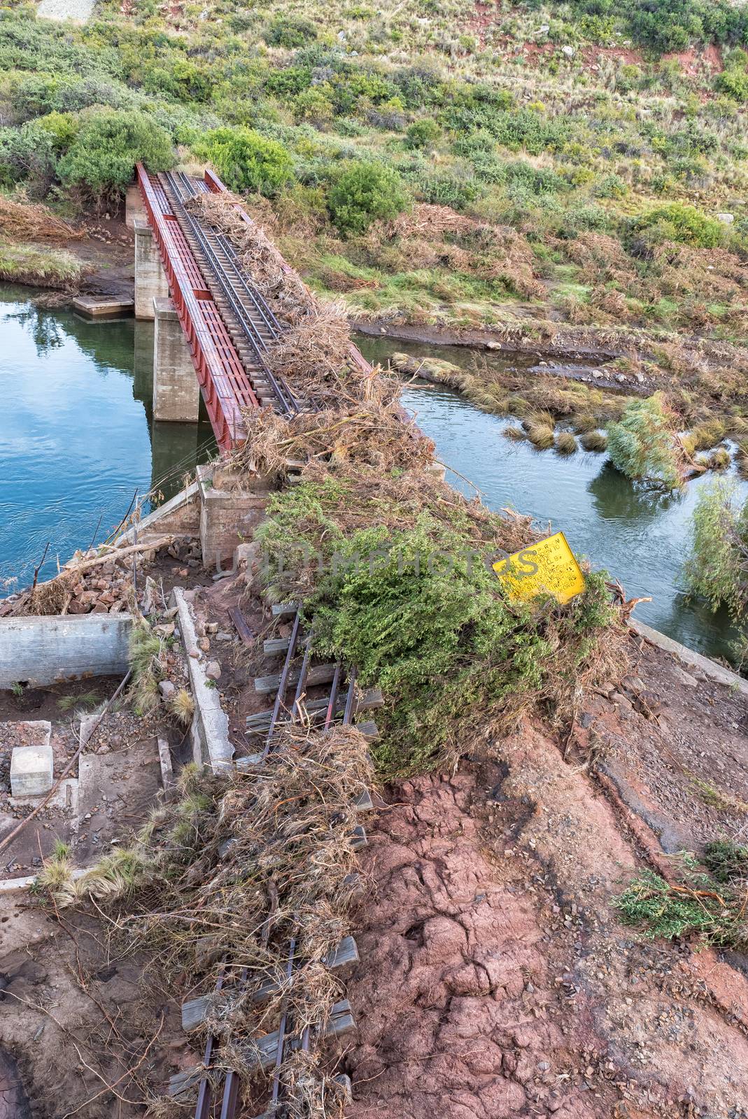
Flood damaged third railway reverse near Lady Grey
Stock PhotoUsername
dpreezgResolution
3595x2400pxFlood damaged third railway reverse near Lady Grey
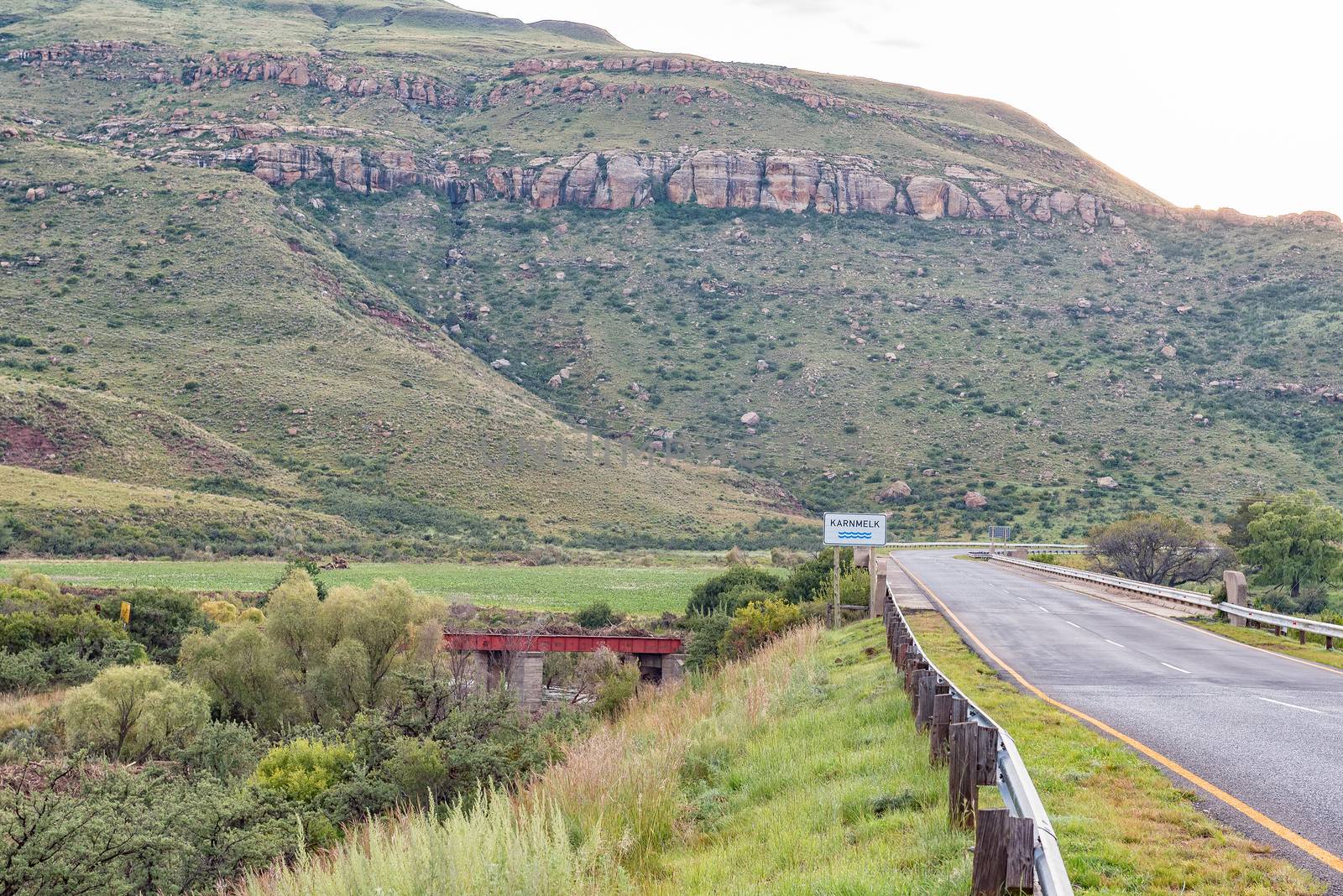
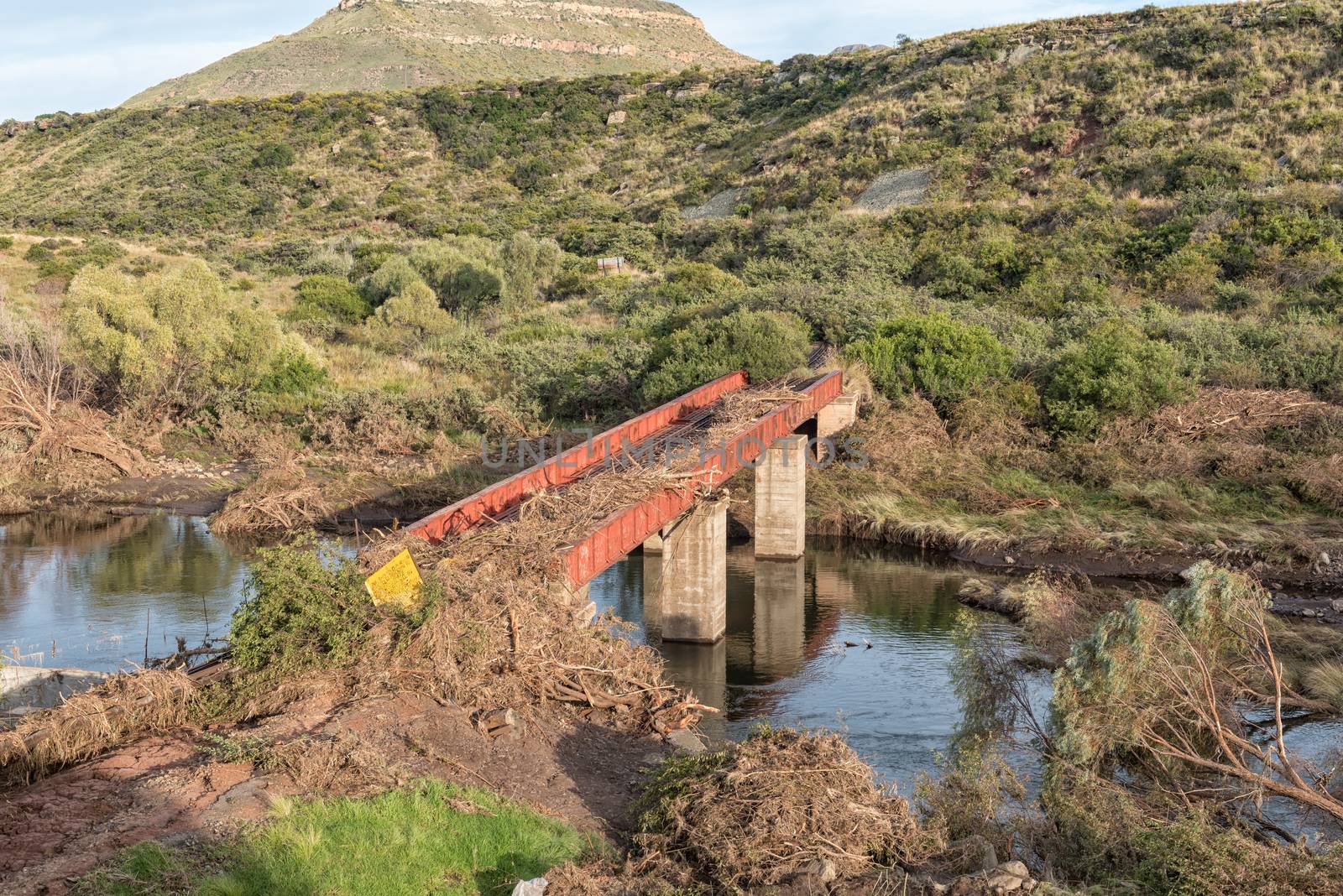
Road bridge over the Karnmelk River with railway bridge undernea
Stock PhotoUsername
dpreezgResolution
3595x2400pxRoad bridge over the Karnmelk River with railway bridge undernea


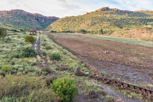
Second and third railway reverses near Lady Grey
Stock PhotoUsername
dpreezgResolution
3595x2400pxSecond and third railway reverses near Lady Grey
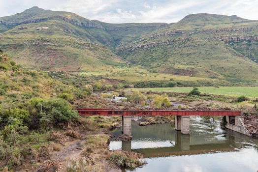
Bridge over Kraai River between Barkly East and Lady Grey
Stock PhotoUsername
dpreezgResolution
3595x2400pxBridge over Kraai River between Barkly East and Lady Grey
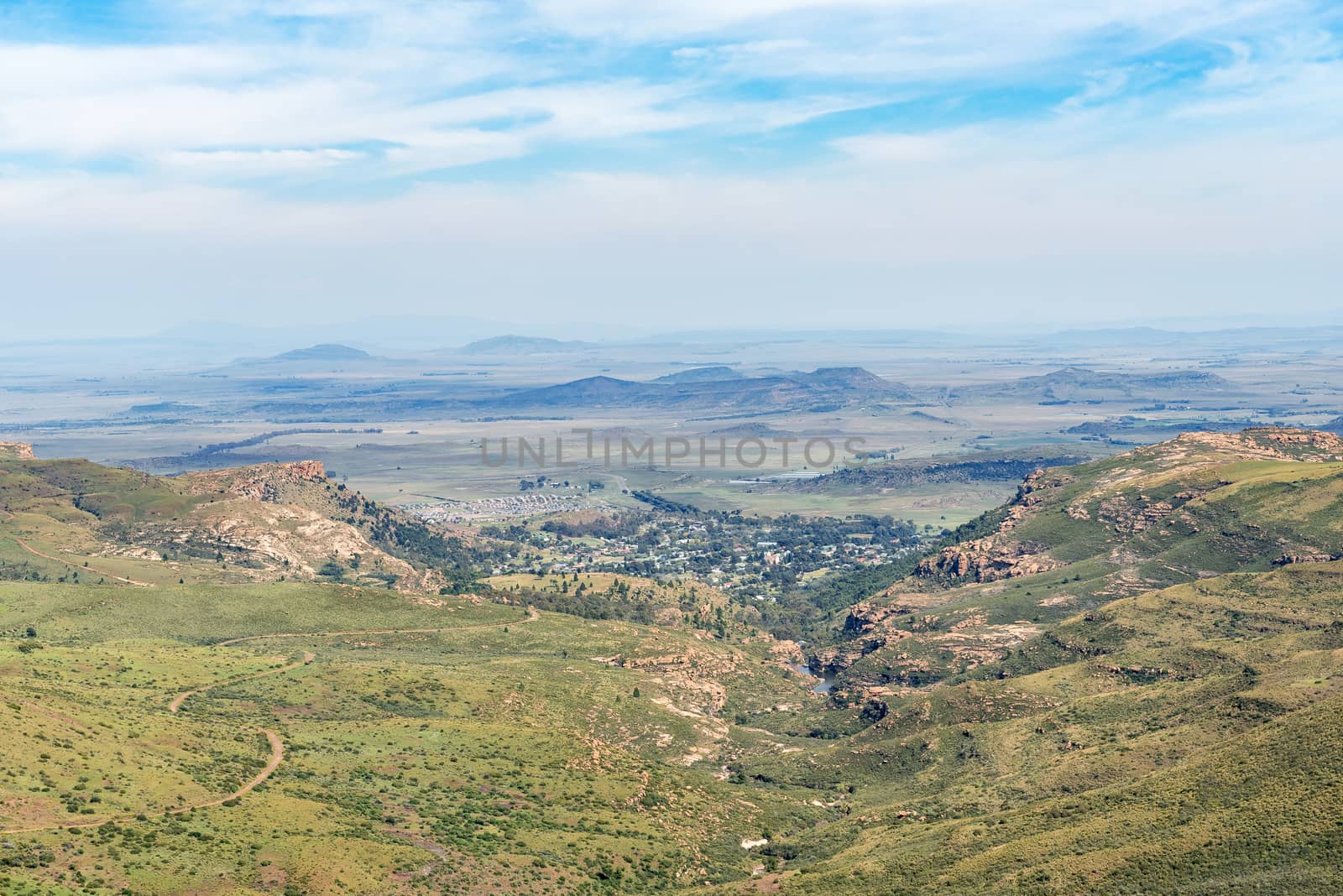
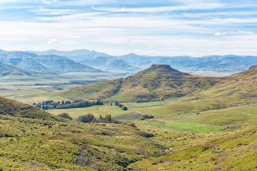
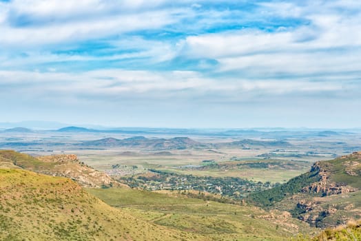
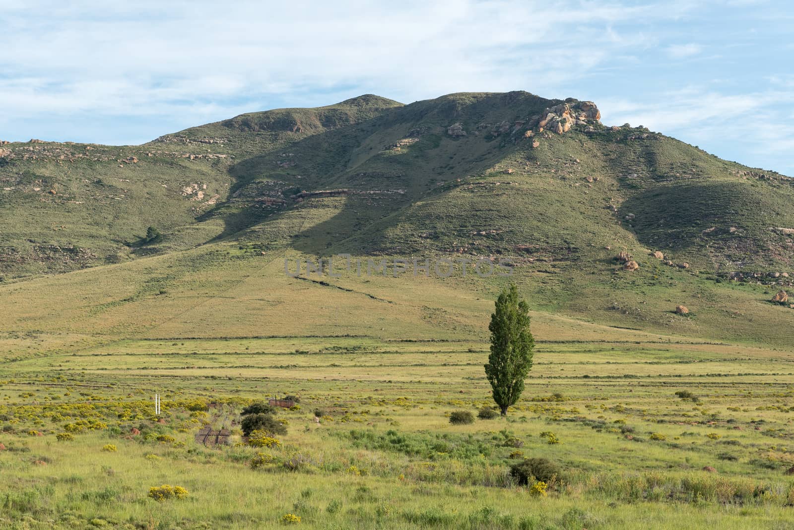
View from the Barkly Pass in the Eastern Cape Province
Stock PhotoUsername
dpreezgResolution
3146x2100pxView from the Barkly Pass in the Eastern Cape Province

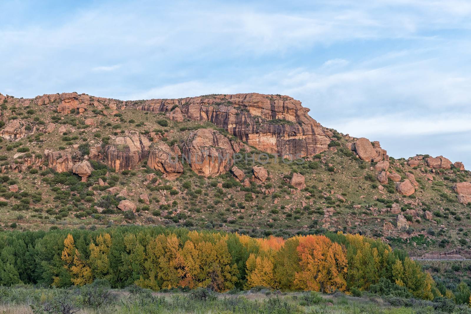
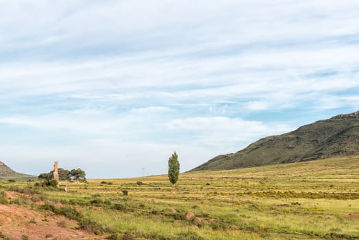
Sunrise landscape between the Karmelkspruit Resort and Lady Grey
Stock PhotoUsername
dpreezgResolution
3595x2400pxSunrise landscape between the Karmelkspruit Resort and Lady Grey
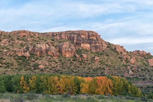

River landscape at the Karmelkspruit Resort near Lady Grey
Stock PhotoUsername
dpreezgResolution
3595x2400pxRiver landscape at the Karmelkspruit Resort near Lady Grey

Bridge over Kraai River between Barkly East and Lady Grey
Stock PhotoUsername
dpreezgResolution
3595x2400pxBridge over Kraai River between Barkly East and Lady Grey
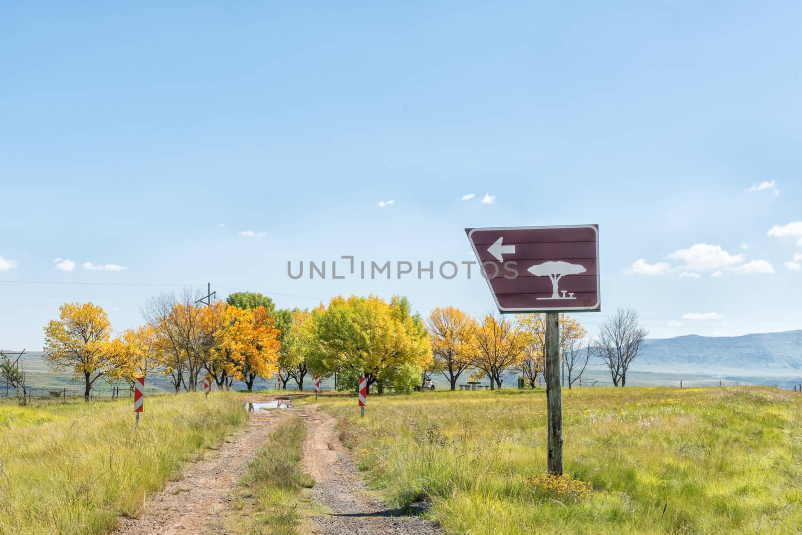
Roadside picnic spot at top of Kraai River Pass
Stock PhotoUsername
dpreezgResolution
3595x2400pxRoadside picnic spot at top of Kraai River Pass

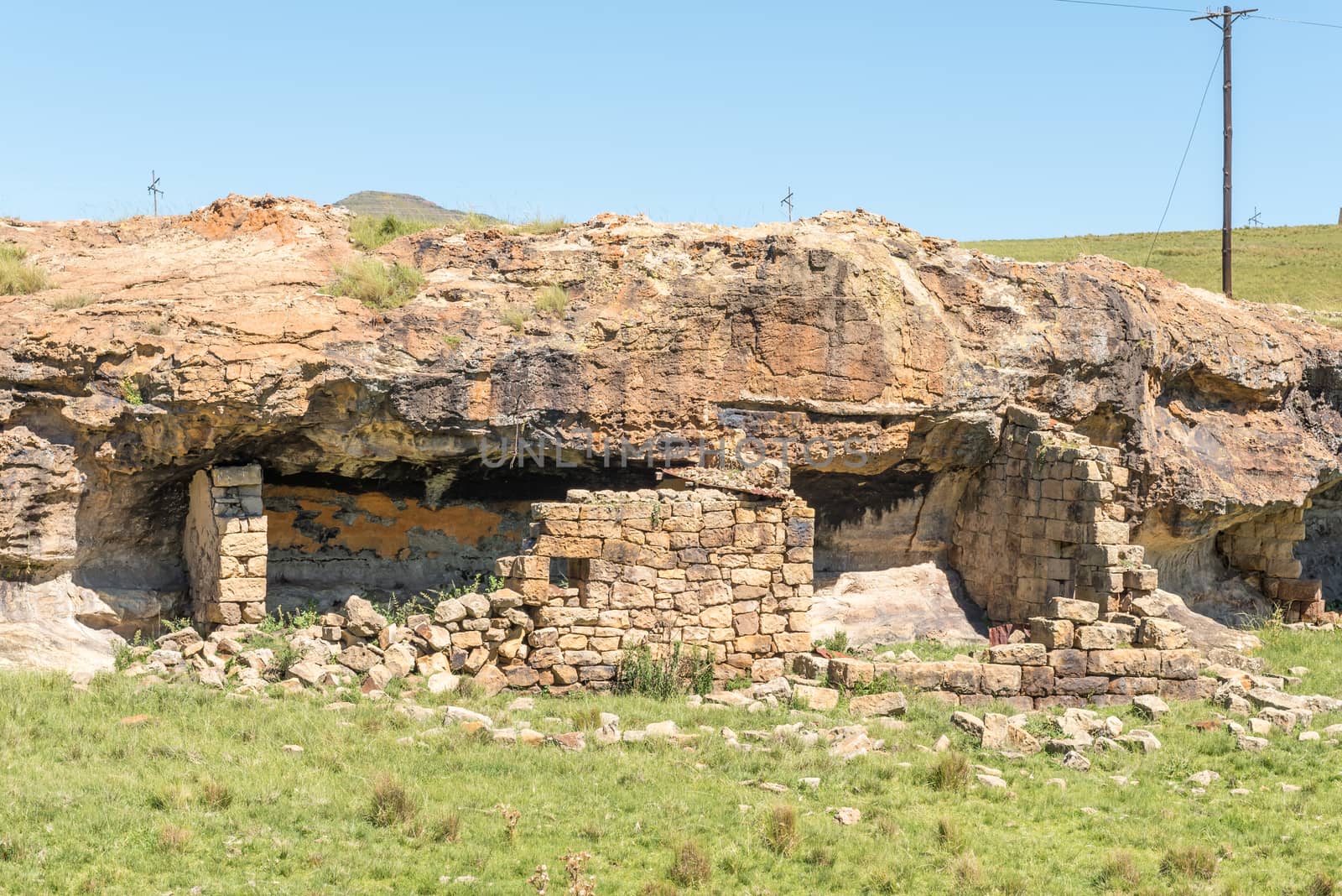
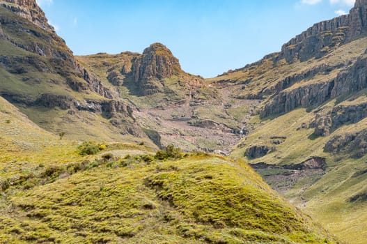
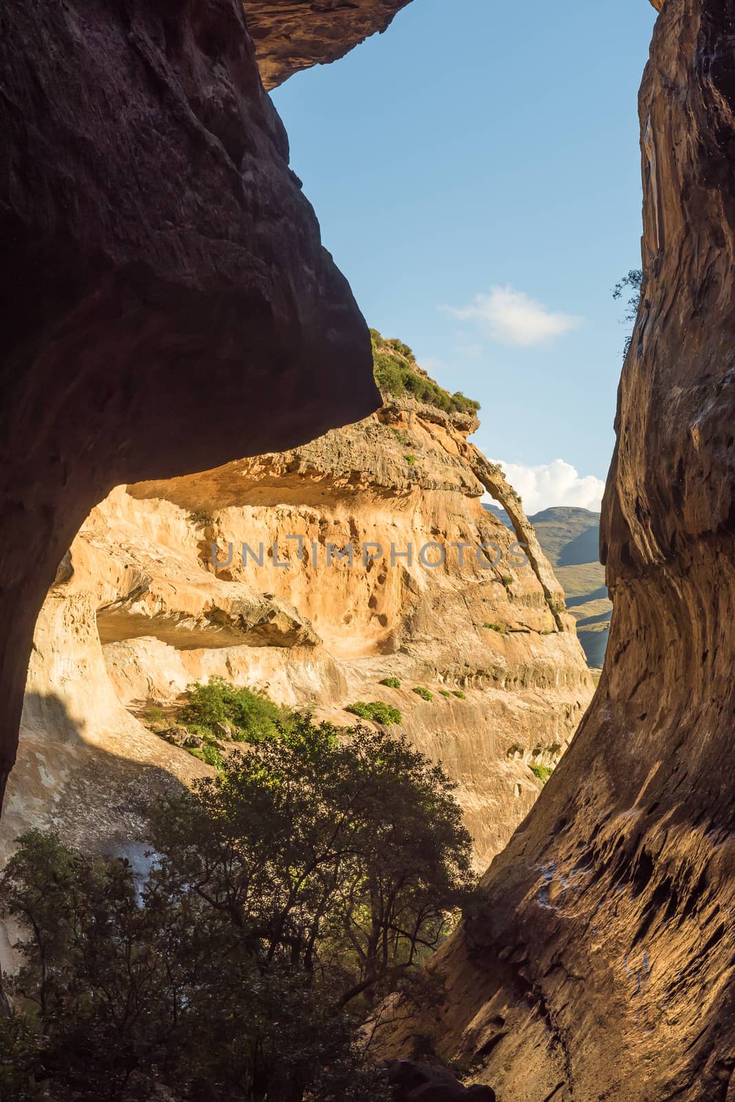
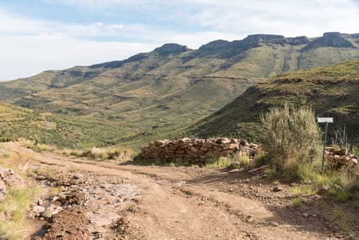
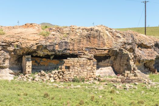
Ruin of a shelter, built underneath a rock overhang
Stock PhotoUsername
dpreezgResolution
3595x2400pxRuin of a shelter, built underneath a rock overhang
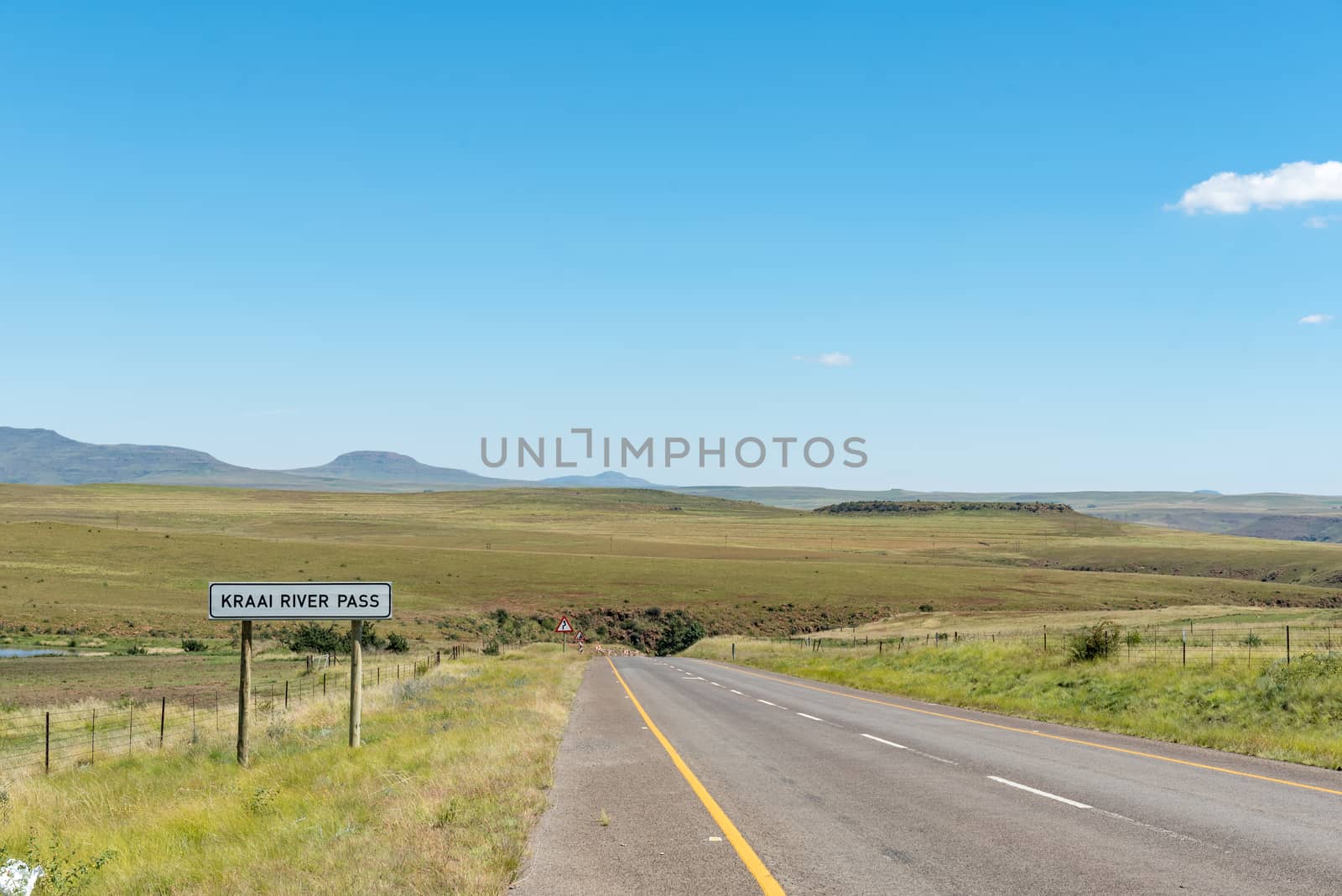
Kraai River Pass between Barkly East and Lady Grey
Stock PhotoUsername
dpreezgResolution
3595x2400pxKraai River Pass between Barkly East and Lady Grey
