- Filter By:
-
-
Stock photos and images of username:dpreezg

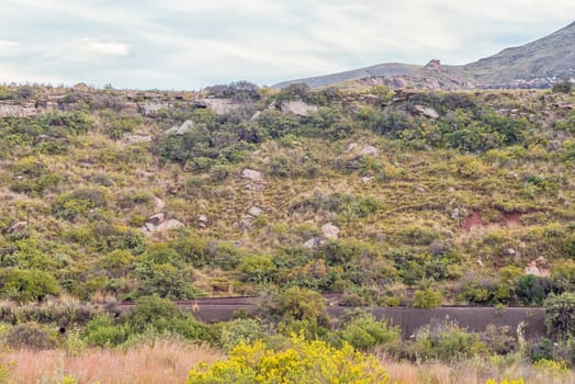
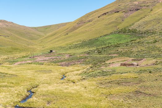
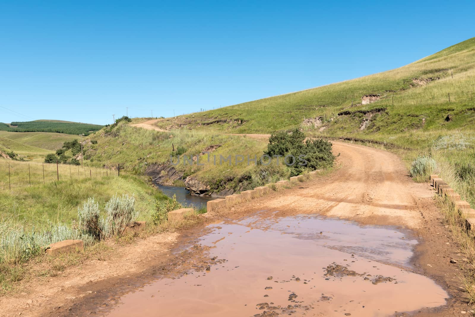
Second and third railway reverses near Lady Grey
Stock PhotoUsername
dpreezgResolution
3595x2400pxSecond and third railway reverses near Lady Grey
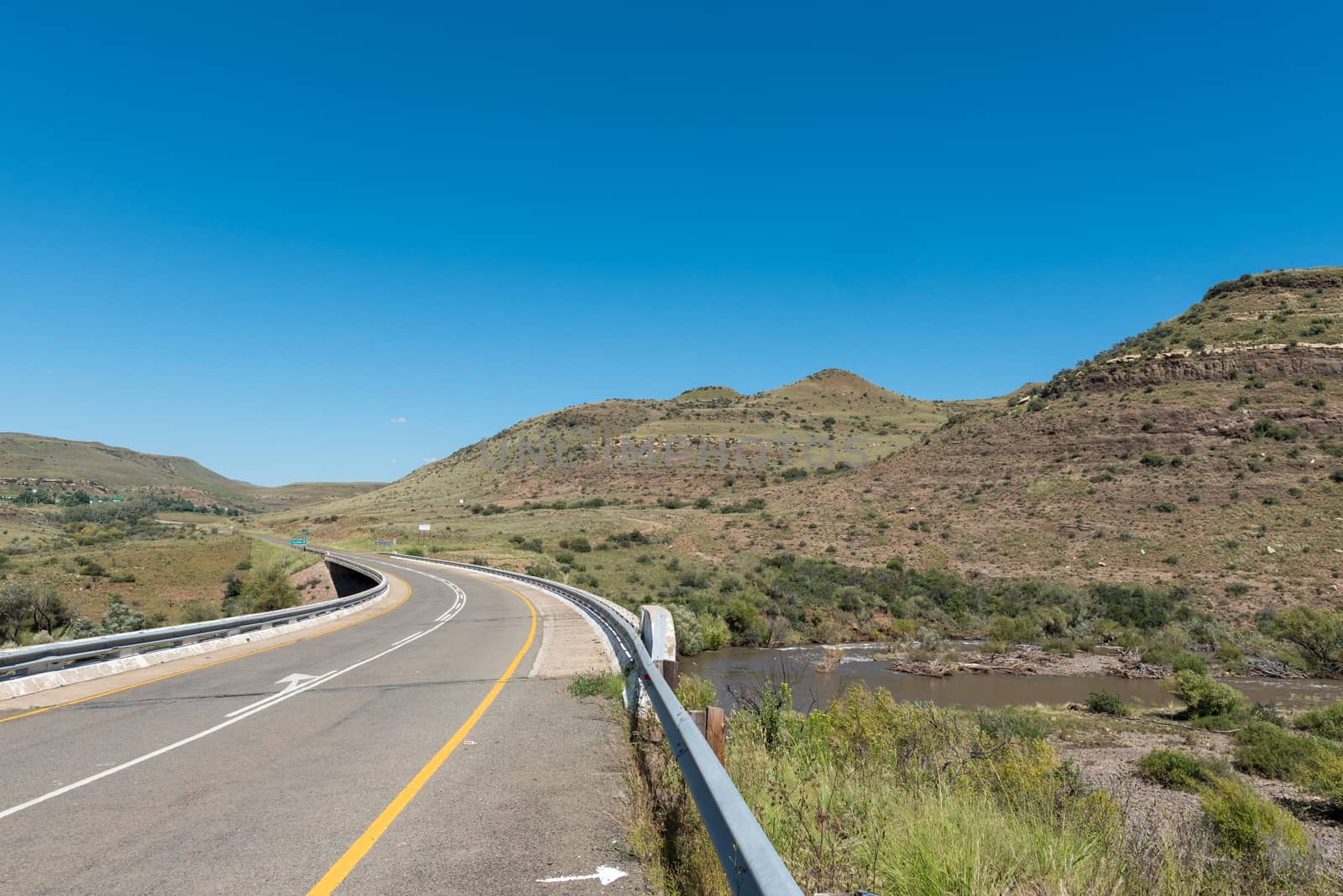
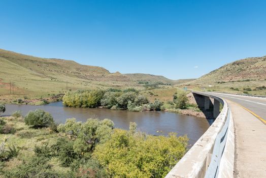
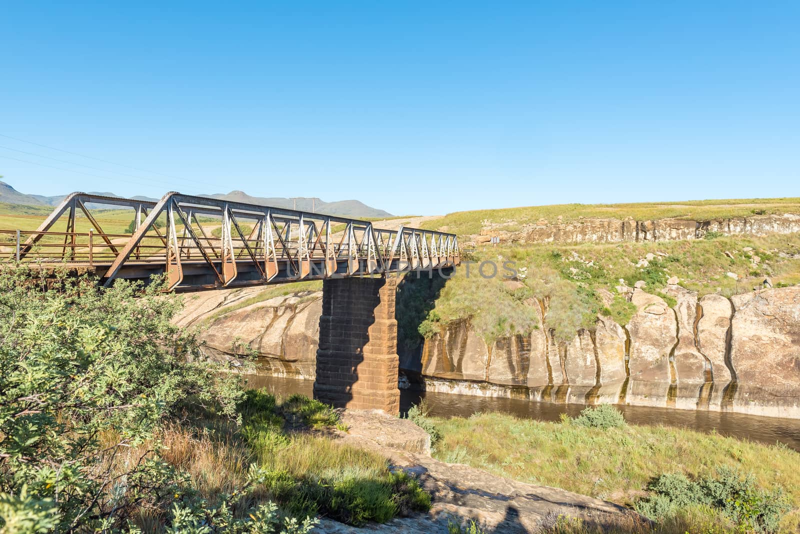
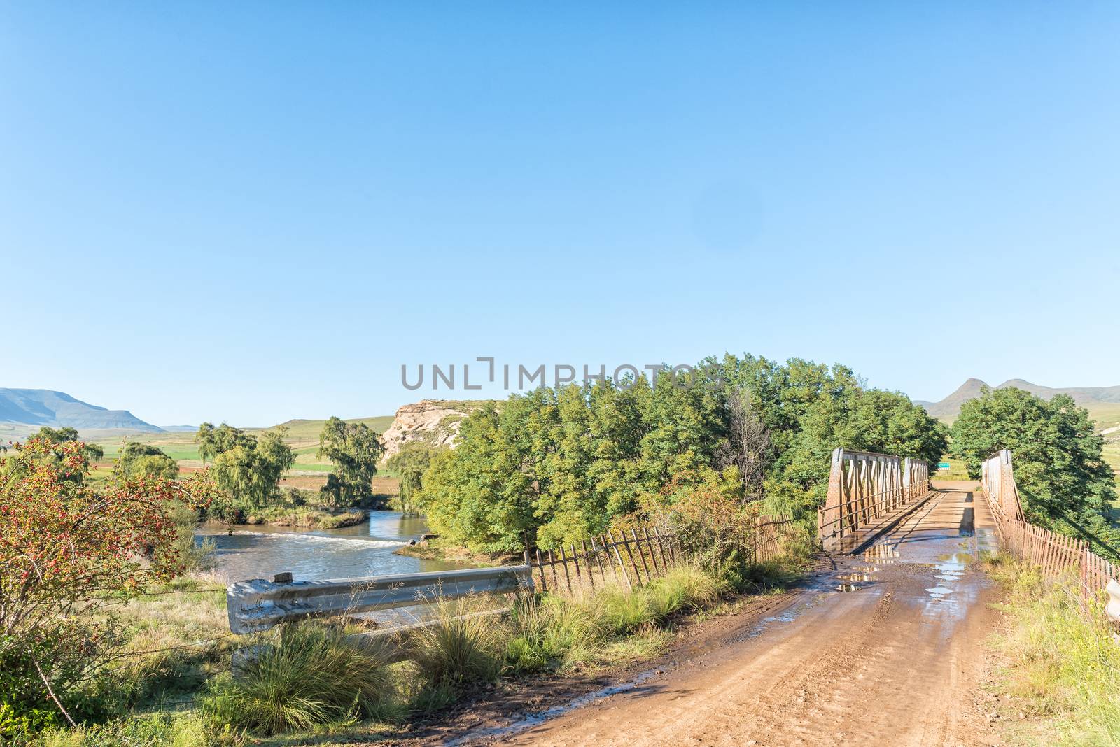
Bridge over Kraai River between Barkly East and Lady Grey
Stock PhotoUsername
dpreezgResolution
3595x2400pxBridge over Kraai River between Barkly East and Lady Grey
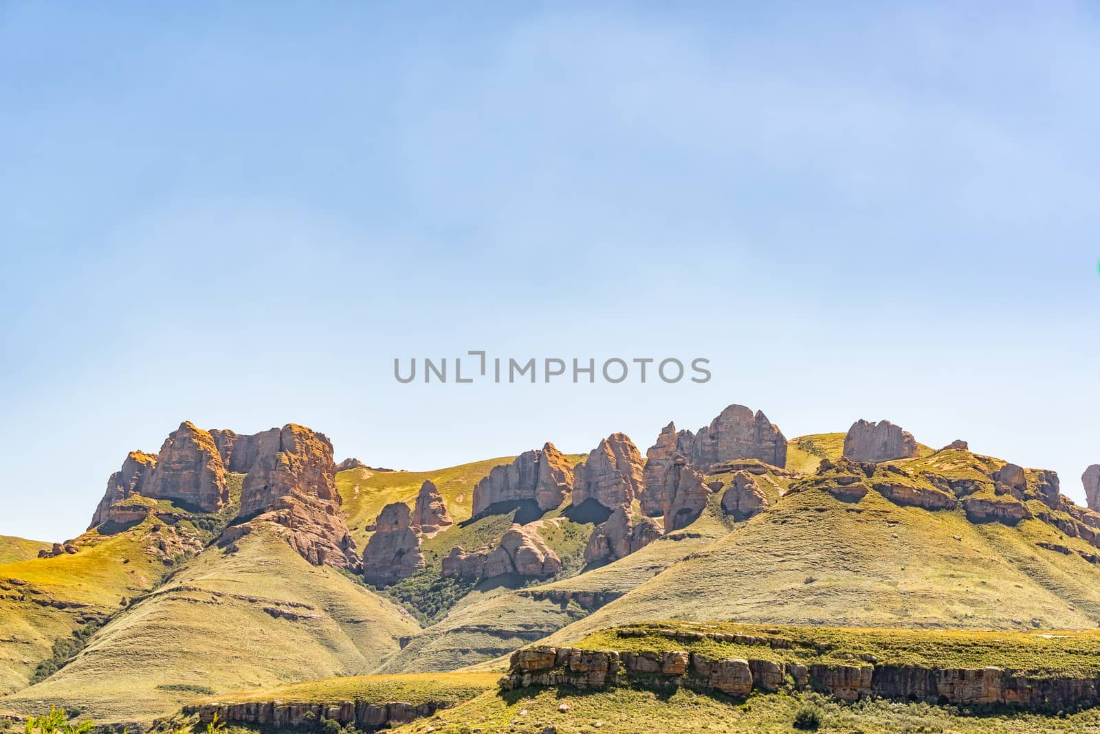
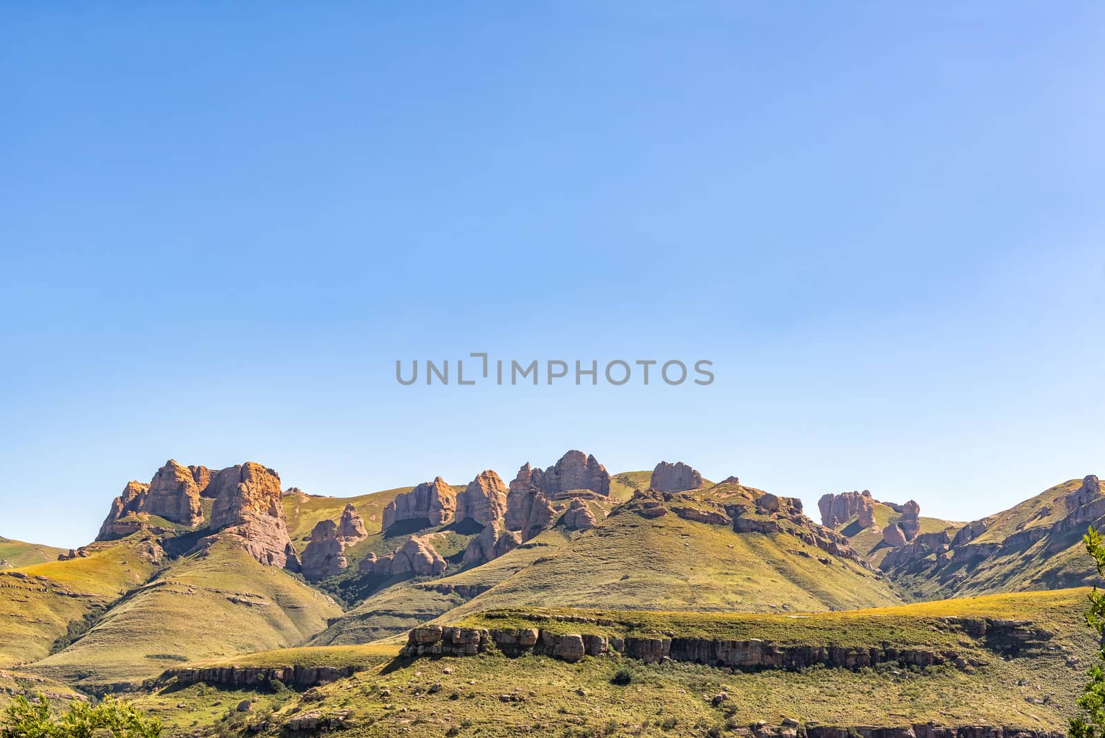
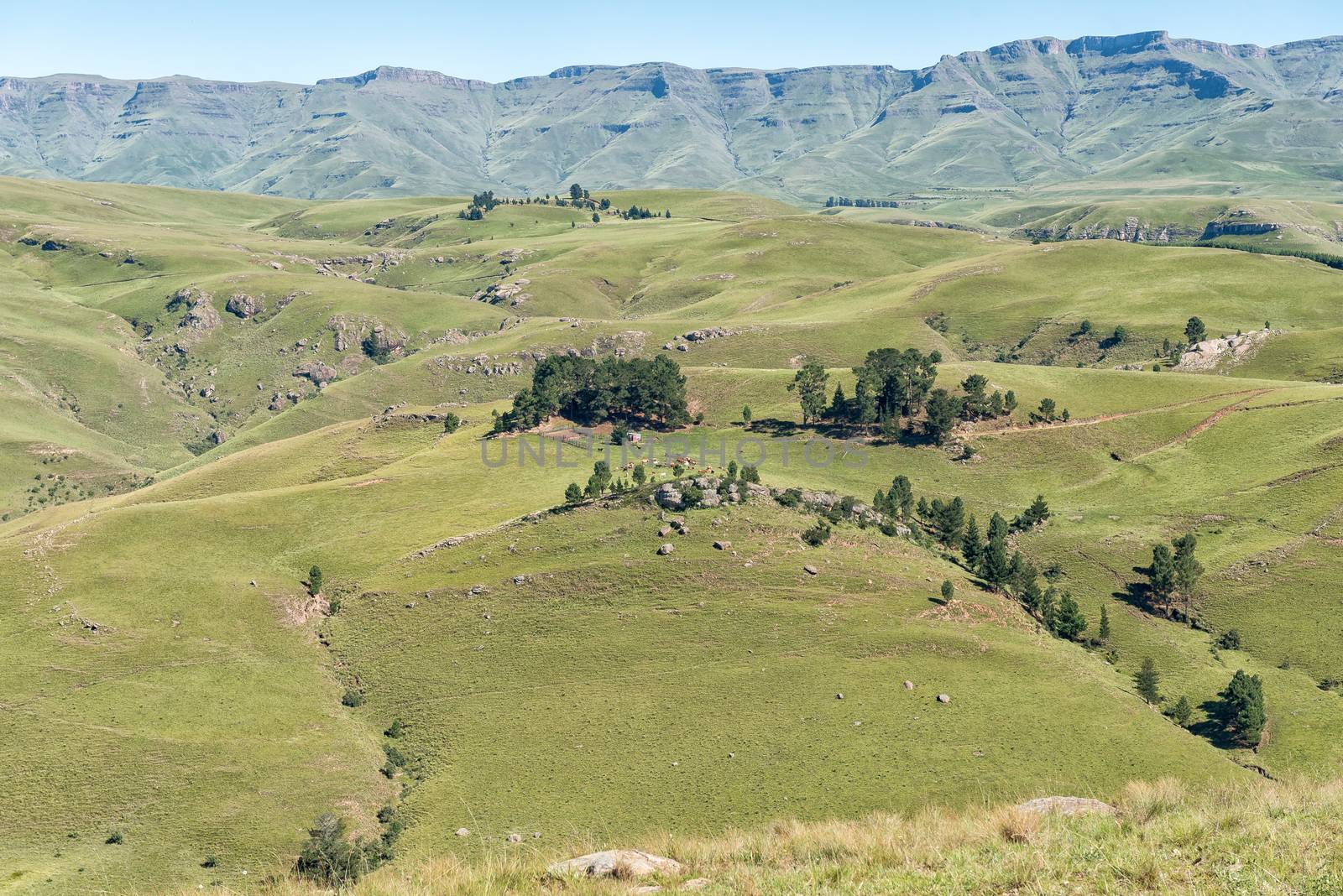
View from the Barkly Pass in the Eastern Cape Province
Stock PhotoUsername
dpreezgResolution
3146x2100pxView from the Barkly Pass in the Eastern Cape Province

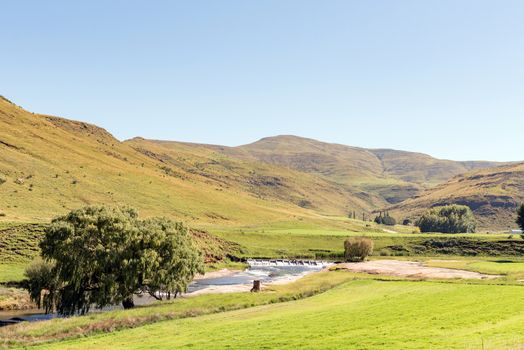
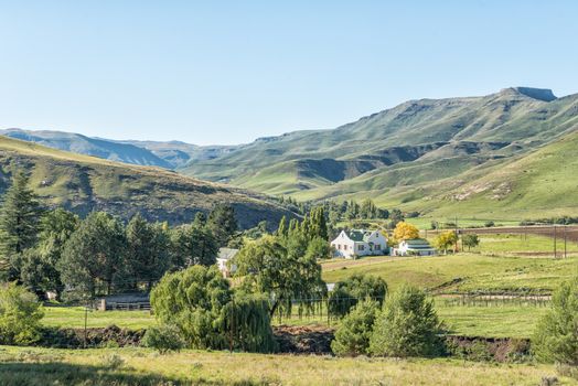
Sunrise landscape between the Karmelkspruit Resort and Lady Grey
Stock PhotoUsername
dpreezgResolution
3595x2400pxSunrise landscape between the Karmelkspruit Resort and Lady Grey

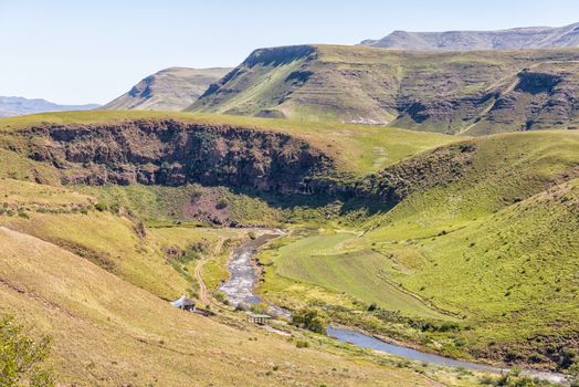
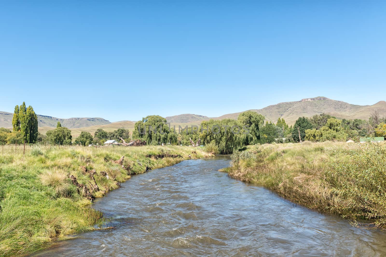
River landscape at the Karmelkspruit Resort near Lady Grey
Stock PhotoUsername
dpreezgResolution
3595x2400pxRiver landscape at the Karmelkspruit Resort near Lady Grey

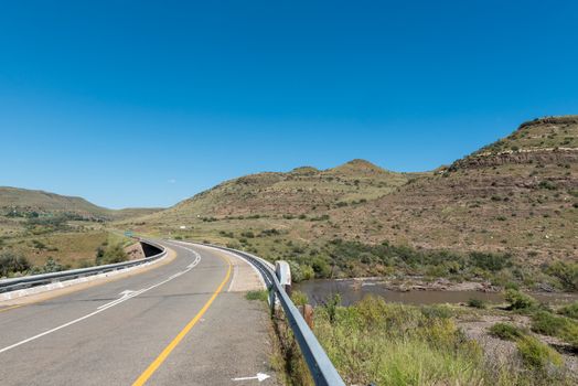
Bridge over Kraai River between Barkly East and Lady Grey
Stock PhotoUsername
dpreezgResolution
3595x2400pxBridge over Kraai River between Barkly East and Lady Grey
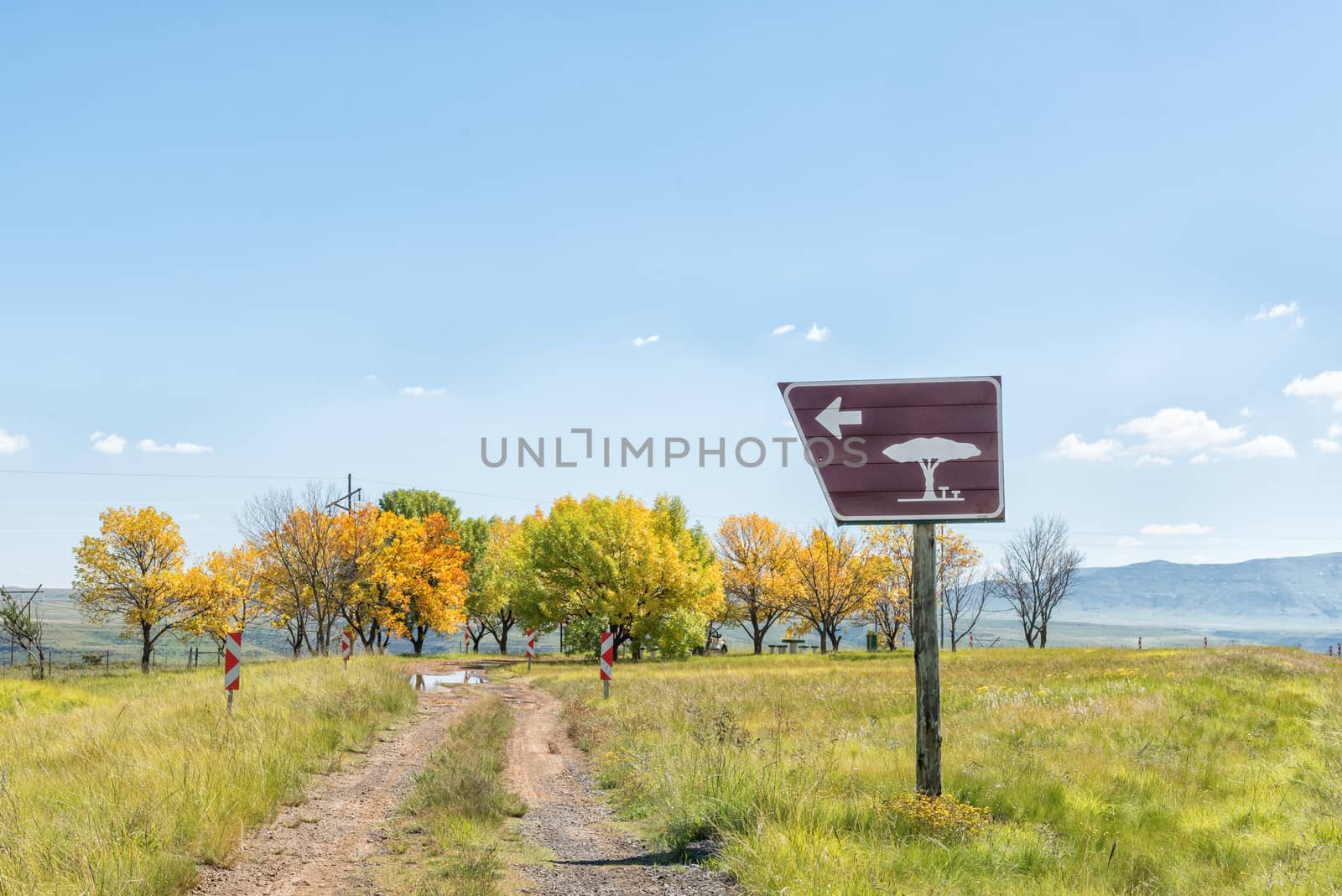
Roadside picnic spot at top of Kraai River Pass
Stock PhotoUsername
dpreezgResolution
3595x2400pxRoadside picnic spot at top of Kraai River Pass

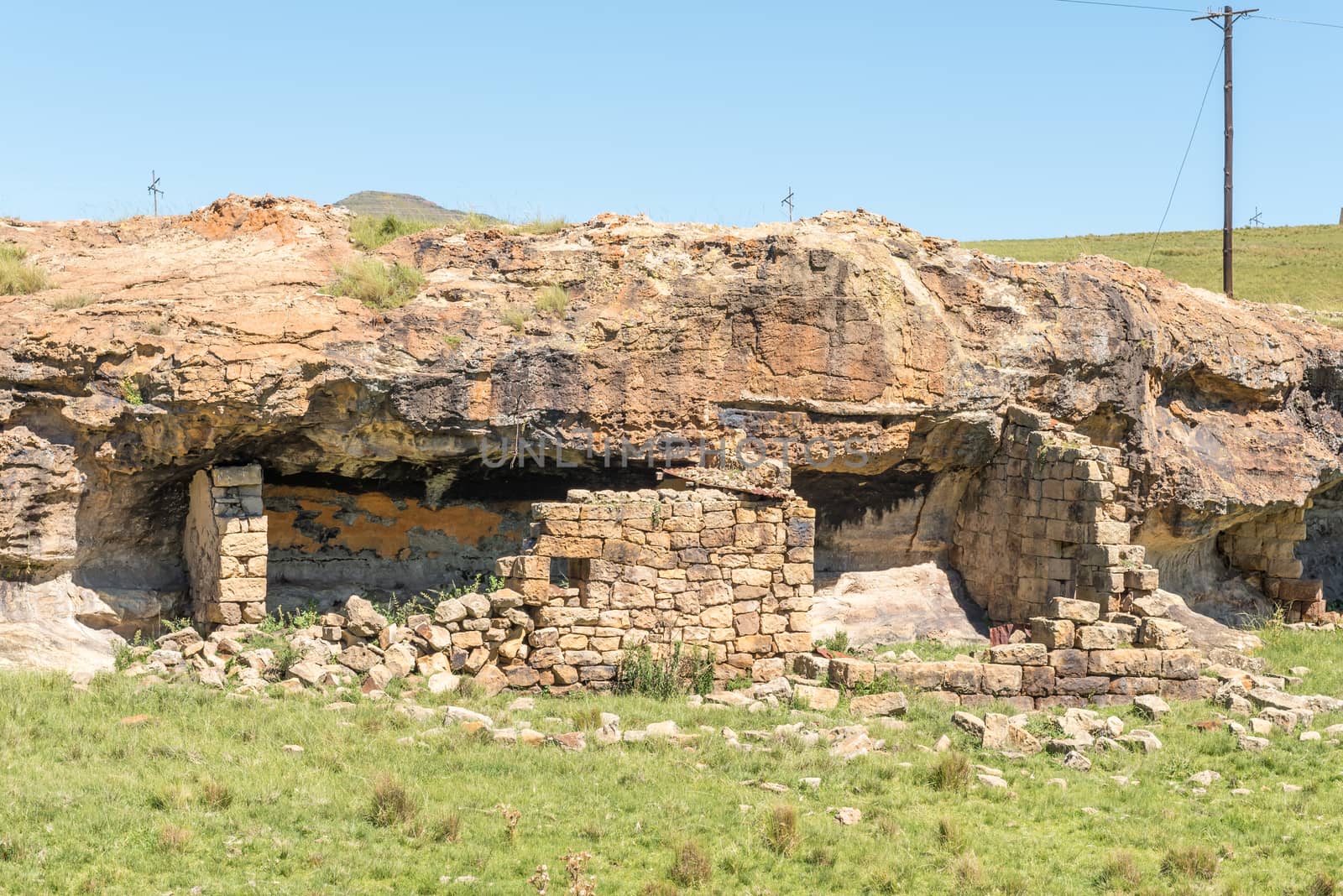
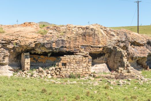
Ruin of a shelter, built underneath a rock overhang
Stock PhotoUsername
dpreezgResolution
3595x2400pxRuin of a shelter, built underneath a rock overhang
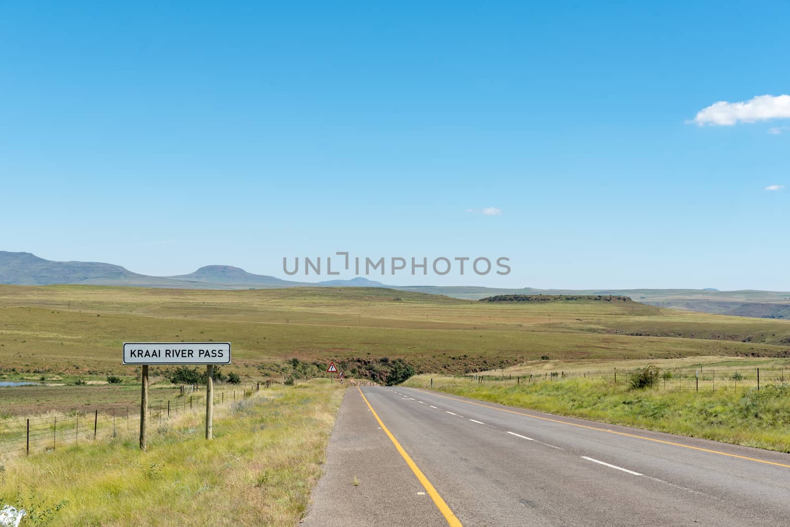
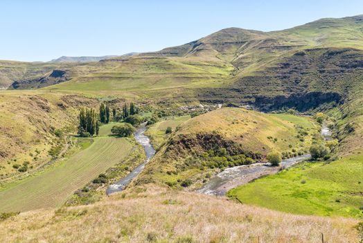
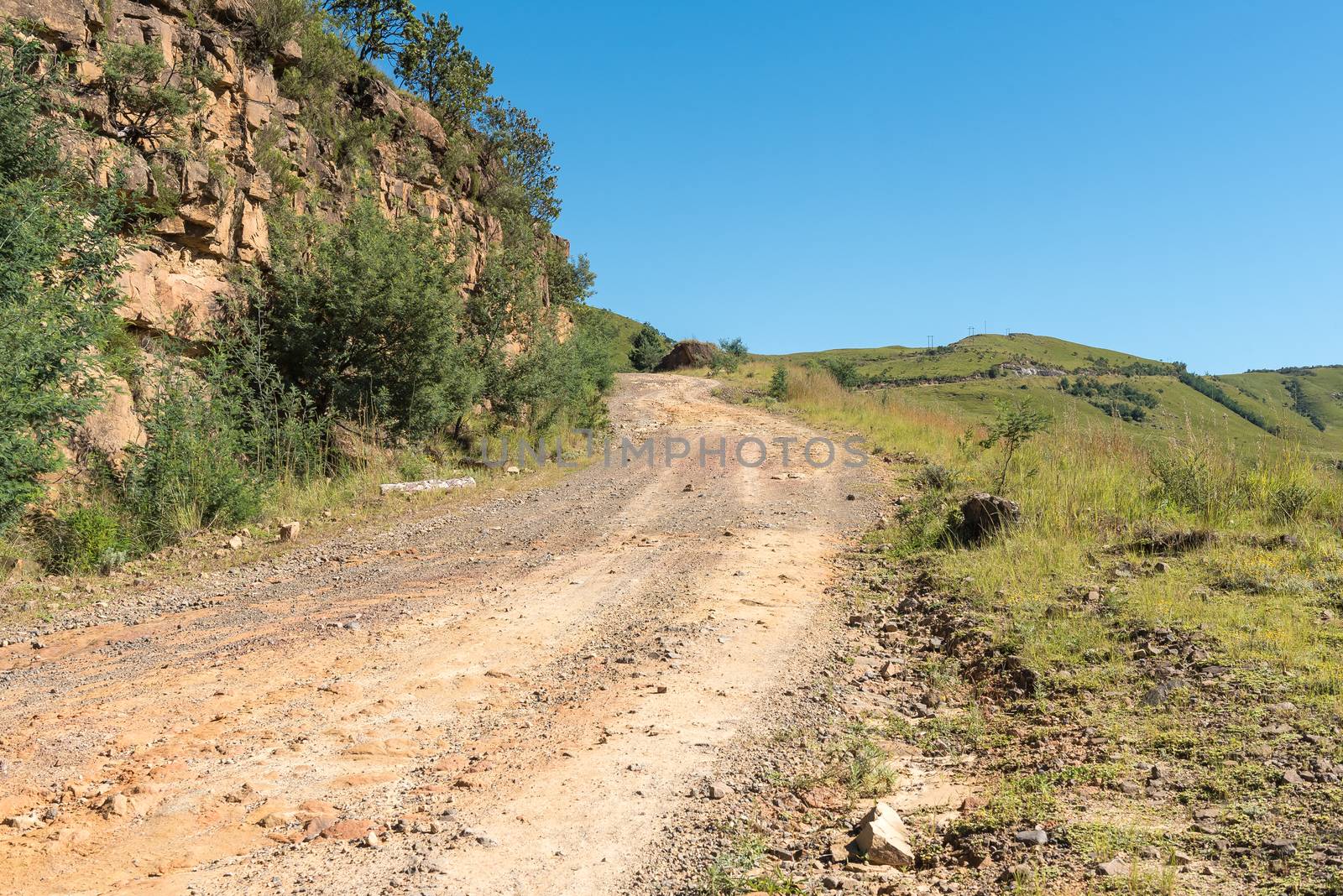
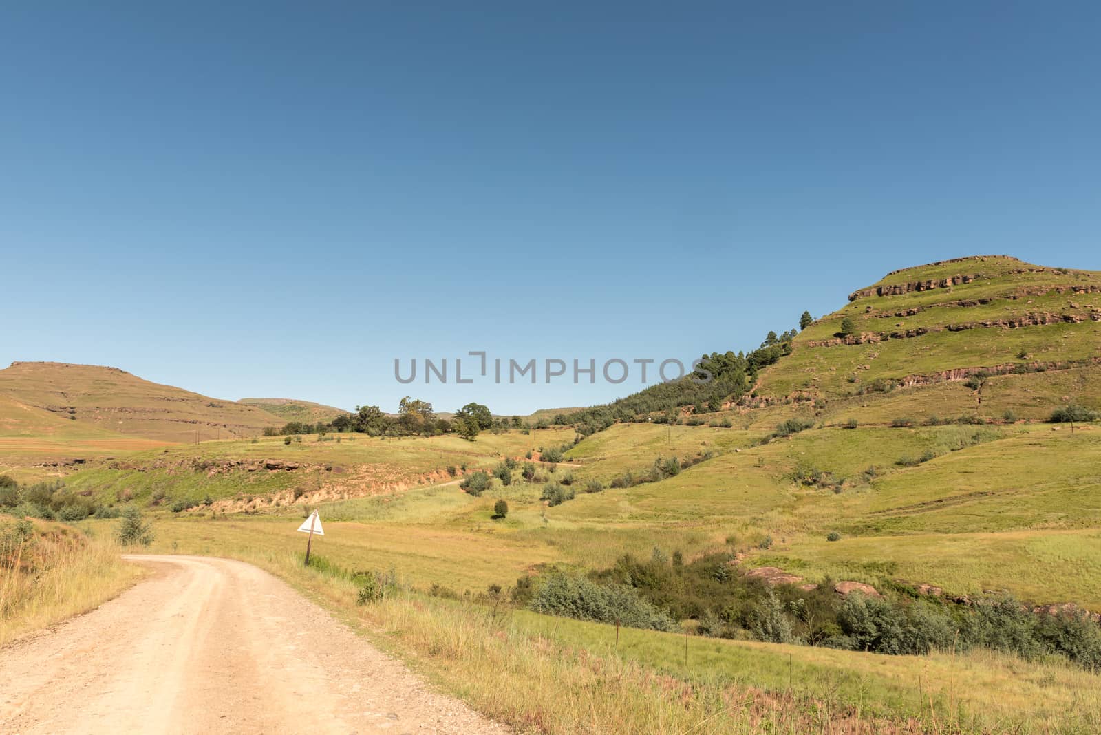
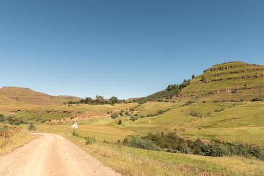
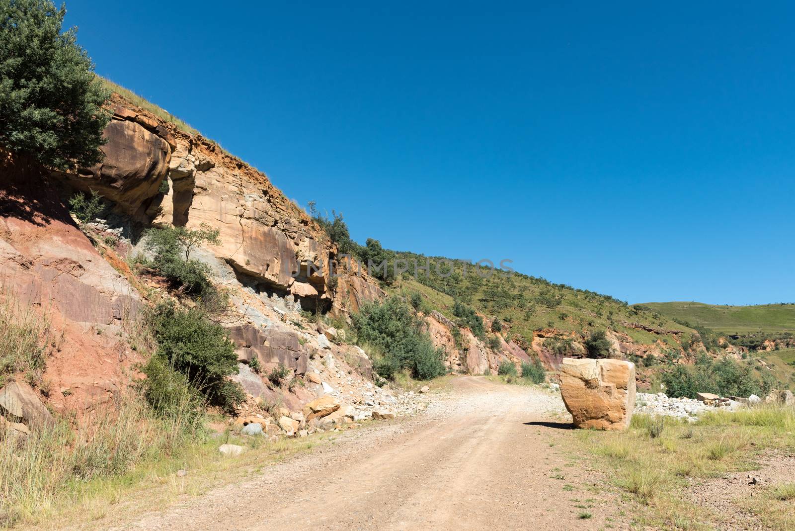
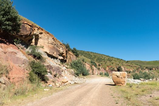
Kraai River Pass between Barkly East and Lady Grey
Stock PhotoUsername
dpreezgResolution
3595x2400pxKraai River Pass between Barkly East and Lady Grey


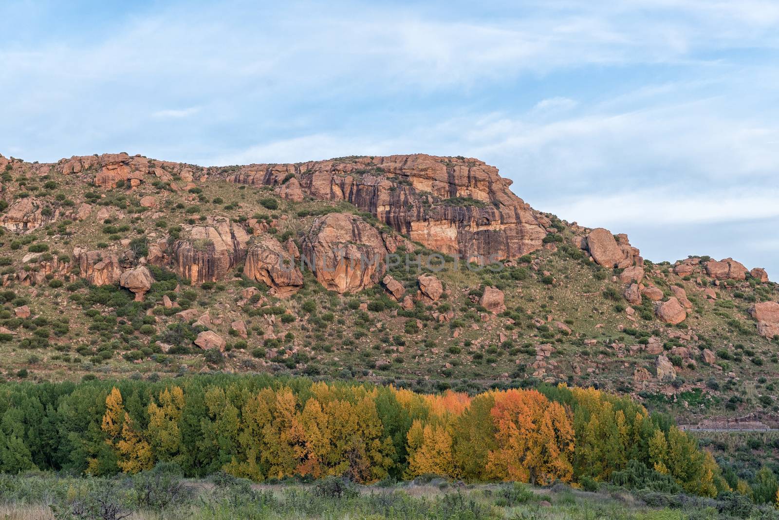
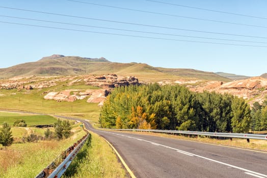
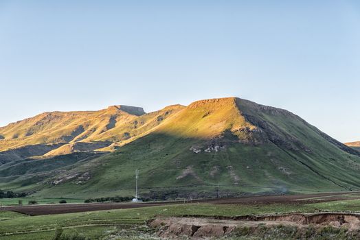
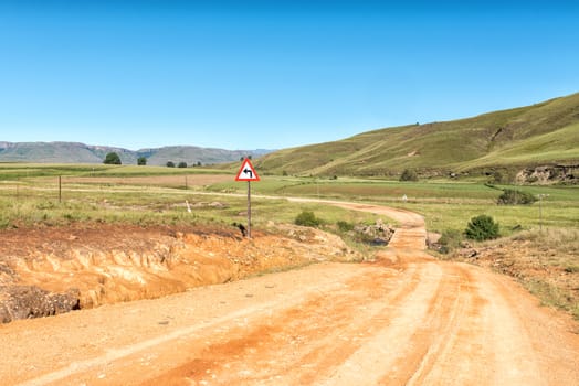
Landscape between Barkly-East and Barkly Pass
Stock PhotoUsername
dpreezgResolution
3595x2400pxLandscape between Barkly-East and Barkly Pass
View from the Barkly Pass in the Eastern Cape Province
Stock PhotoUsername
dpreezgResolution
3595x2400pxView from the Barkly Pass in the Eastern Cape Province

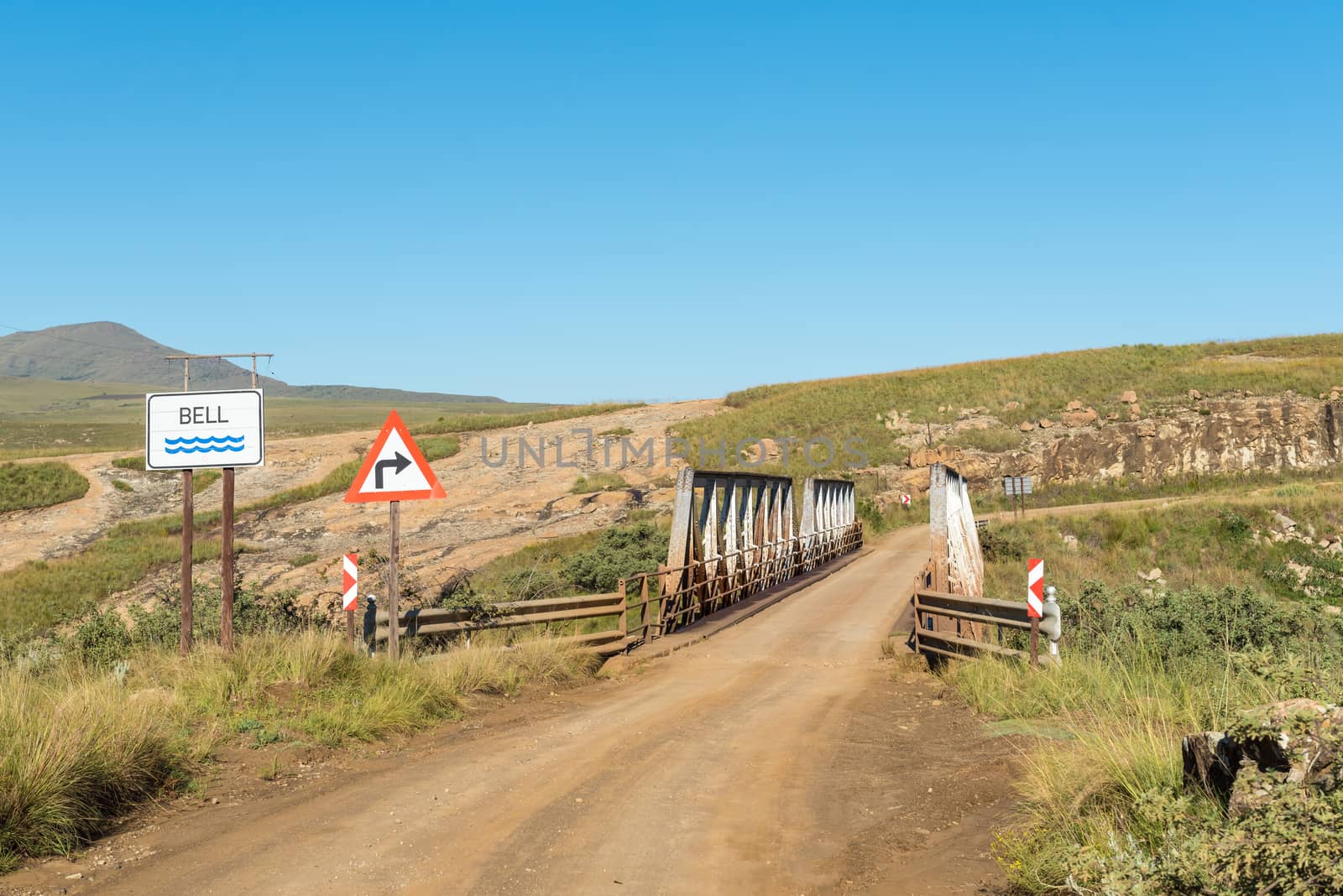
Single lane bridge on road R396 over the Bell River
Stock PhotoUsername
dpreezgResolution
3595x2400pxSingle lane bridge on road R396 over the Bell River


Weir in the Langkloof River near Barkly Pass
Stock PhotoUsername
dpreezgResolution
3595x2400pxWeir in the Langkloof River near Barkly Pass
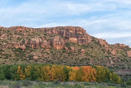
Landscape between Barkly-East and Barkly Pass
Stock PhotoUsername
dpreezgResolution
3595x2400pxLandscape between Barkly-East and Barkly Pass
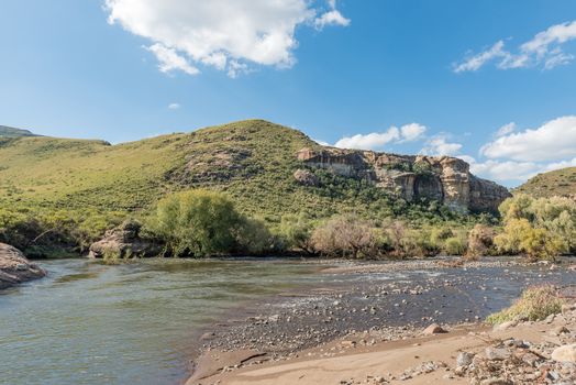
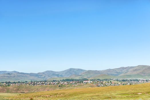
View of Barkly-East in the Eastern Cape Province
Stock PhotoUsername
dpreezgResolution
3595x2400pxView of Barkly-East in the Eastern Cape Province
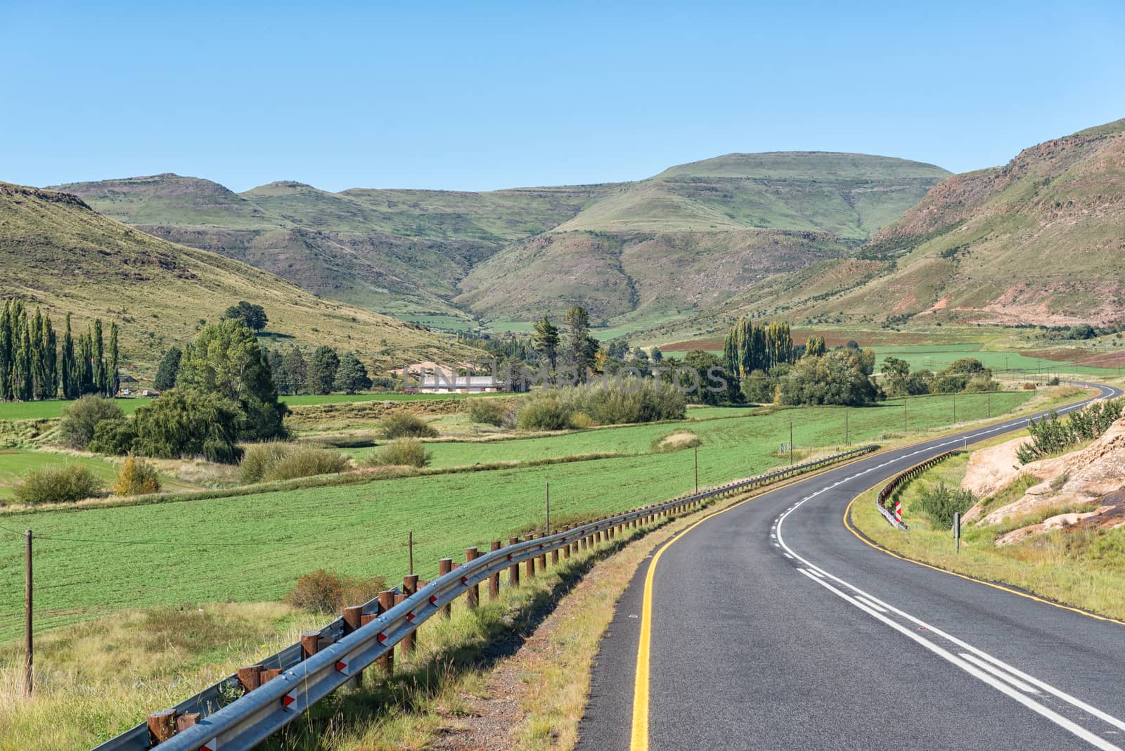
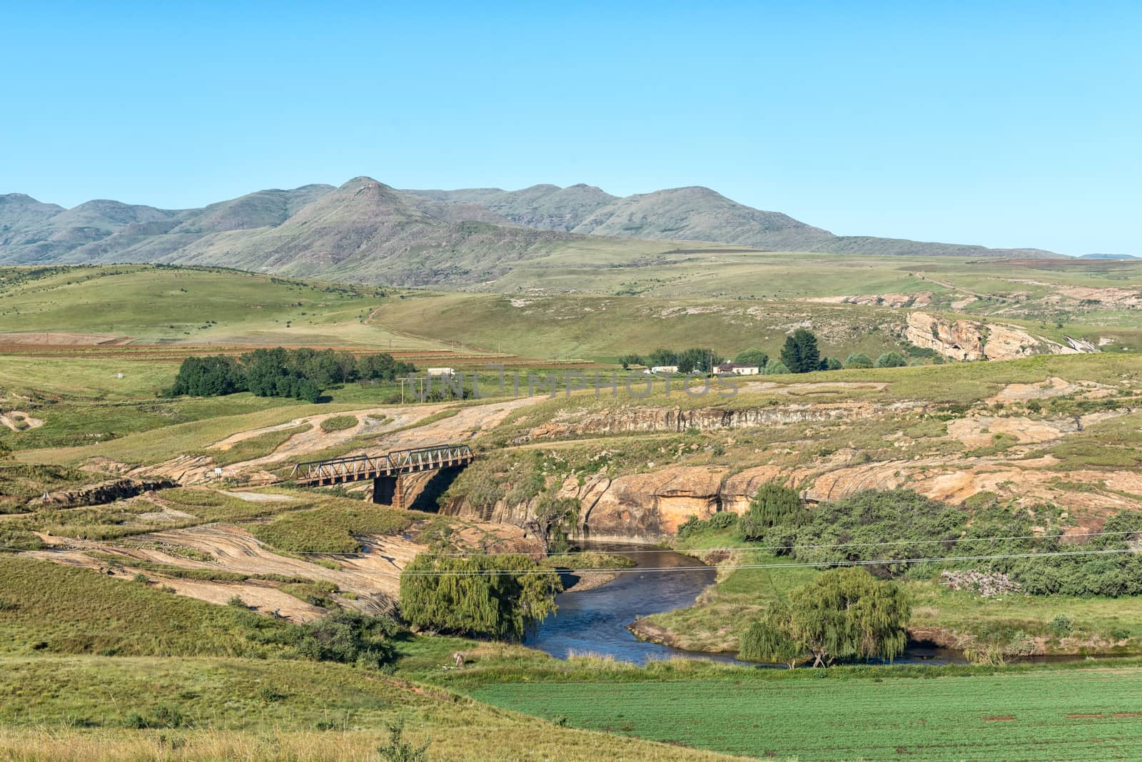
Landscape with bridge on road R396 over the Bell River
Stock PhotoUsername
dpreezgResolution
3595x2400pxLandscape with bridge on road R396 over the Bell River

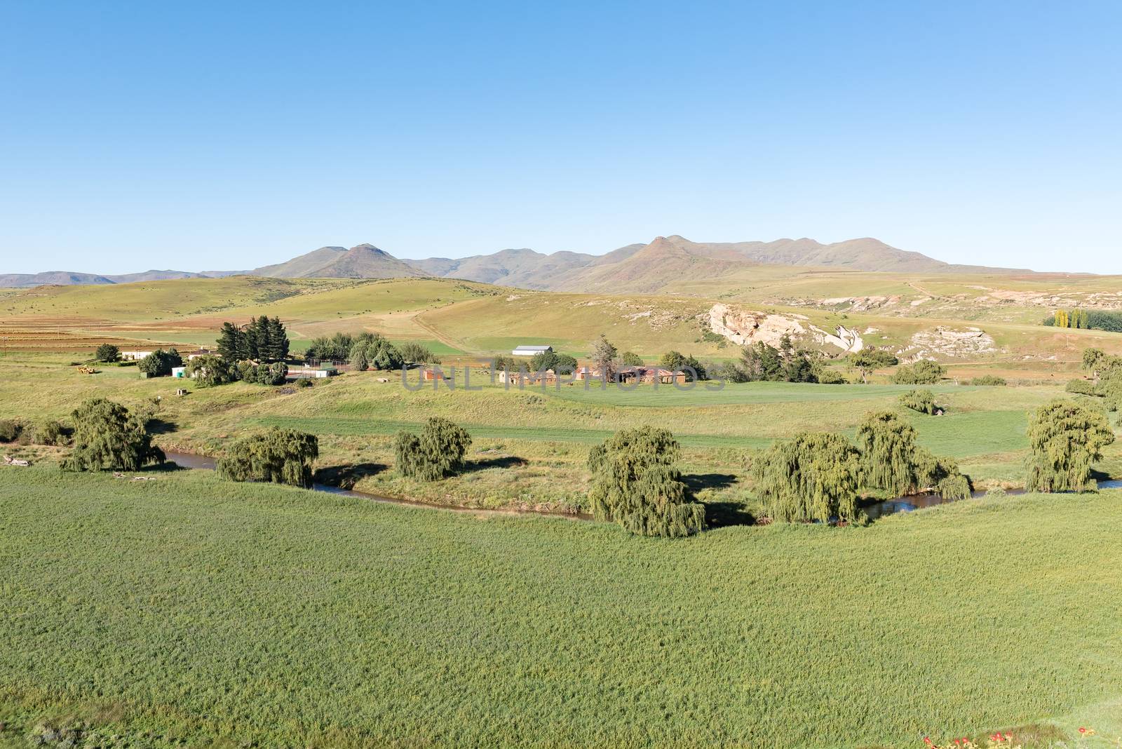
Farm landscape next to the Bell River near Rhodes
Stock PhotoUsername
dpreezgResolution
3595x2400pxFarm landscape next to the Bell River near Rhodes
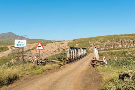
Single lane bridge on road R396 over the Bell River
Stock PhotoUsername
dpreezgResolution
3595x2400pxSingle lane bridge on road R396 over the Bell River
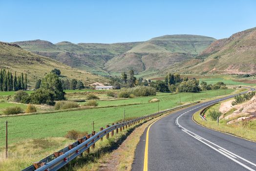
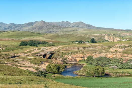
Landscape with bridge on road R396 over the Bell River
Stock PhotoUsername
dpreezgResolution
3595x2400pxLandscape with bridge on road R396 over the Bell River
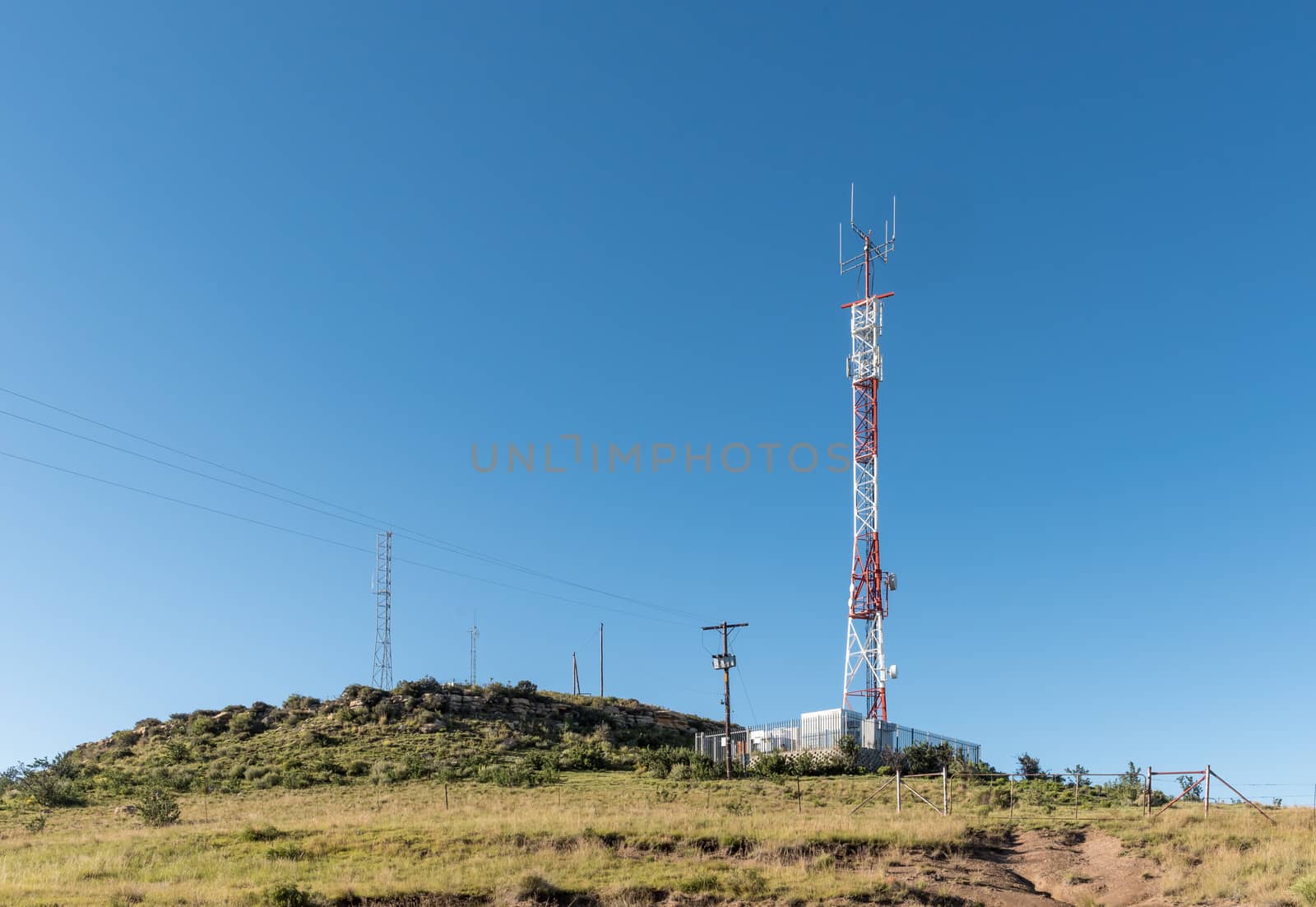
Landscape, with telecommunications towers, near Rhodes
Stock PhotoUsername
dpreezgResolution
3486x2400pxLandscape, with telecommunications towers, near Rhodes

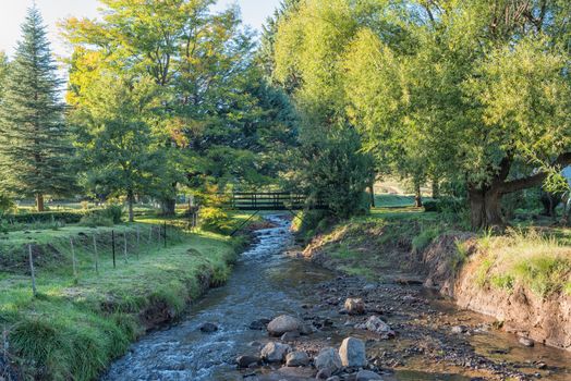
Stream with pedestrian bridge in Rhodes in the Eastern Cape
Stock PhotoUsername
dpreezgResolution
3595x2400pxStream with pedestrian bridge in Rhodes in the Eastern Cape
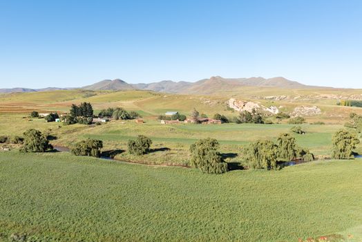
Farm landscape next to the Bell River near Rhodes
Stock PhotoUsername
dpreezgResolution
3595x2400pxFarm landscape next to the Bell River near Rhodes


Farm landscape next to the Bell River near Rhodes
Stock PhotoUsername
dpreezgResolution
3595x2400pxFarm landscape next to the Bell River near Rhodes

Farm landscape at Rhodes in the Eastern Cape Province
Stock PhotoUsername
dpreezgResolution
3595x2400pxFarm landscape at Rhodes in the Eastern Cape Province

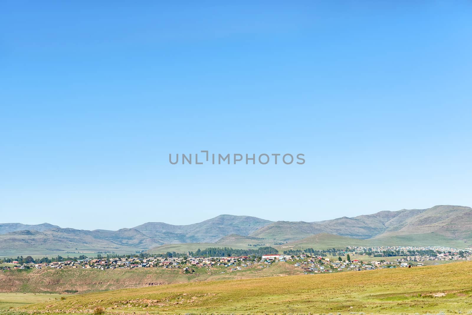
View of township in Rhodes in the Eastern Cape
Stock PhotoUsername
dpreezgResolution
3595x2400pxView of township in Rhodes in the Eastern Cape


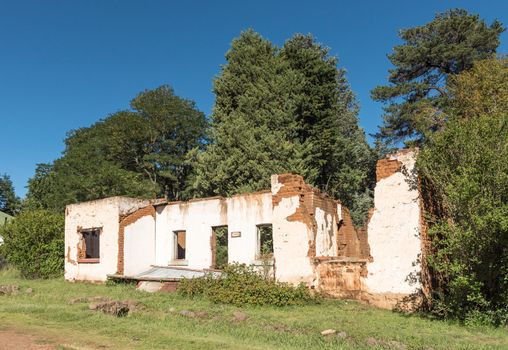
Ruin of a house in Rhodes in the Eastern Cape
Stock PhotoUsername
dpreezgResolution
3486x2400pxRuin of a house in Rhodes in the Eastern Cape
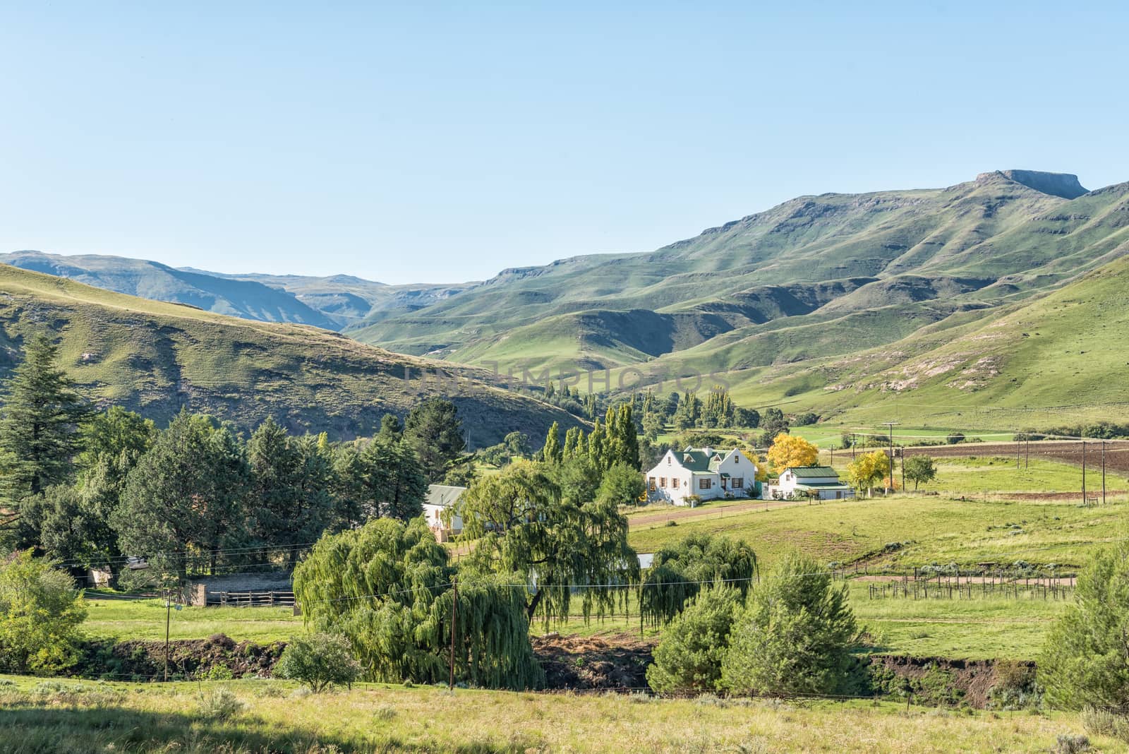
View of Rhodes, a small village in the Eastern Cape
Stock PhotoUsername
dpreezgResolution
3595x2400pxView of Rhodes, a small village in the Eastern Cape
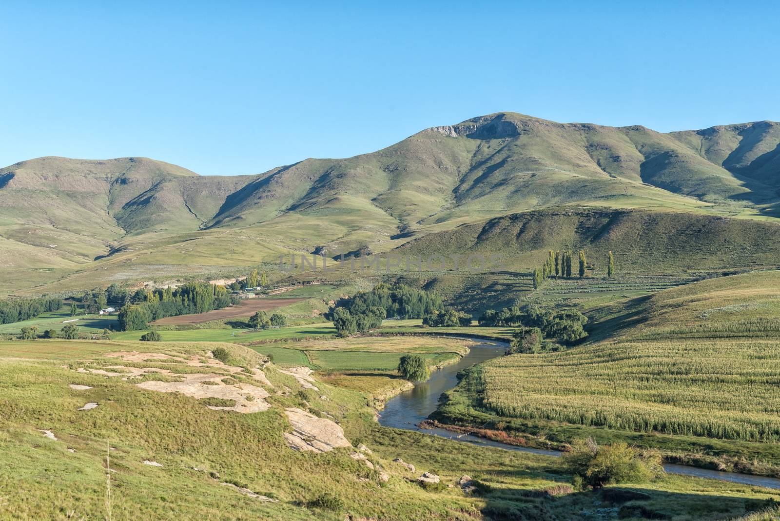
The Bell River with Rhodes in the back
Stock PhotoUsername
dpreezgResolution
3592x2400pxThe Bell River with Rhodes in the back

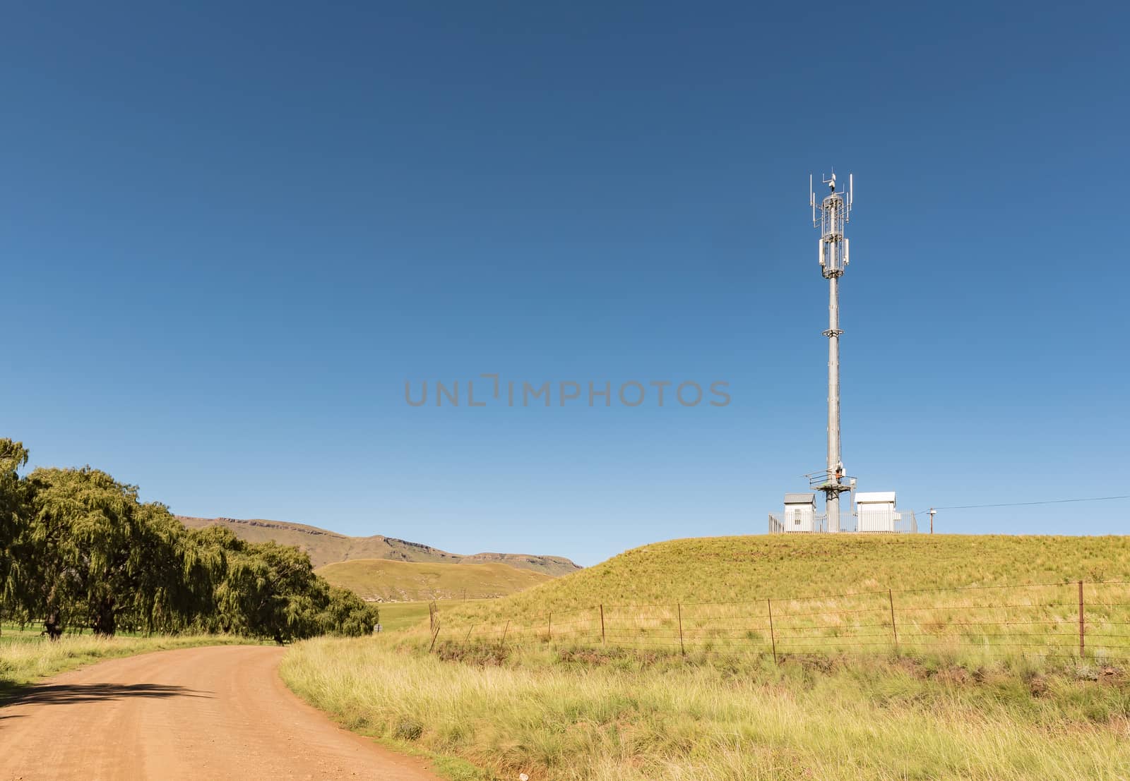
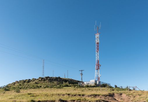
Landscape with cellphone tower on road R396 near Rhodes
Stock PhotoUsername
dpreezgResolution
3470x2400pxLandscape with cellphone tower on road R396 near Rhodes


Horseshoe bend in the Bell River near Rhodes
Stock PhotoUsername
dpreezgResolution
3595x2400pxHorseshoe bend in the Bell River near Rhodes

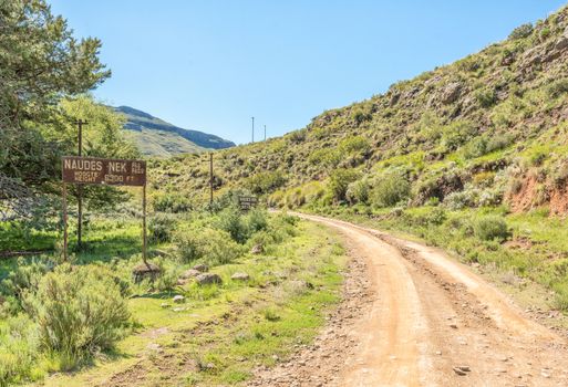
Start of the Naudes Nek Pass near Rhodes
Stock PhotoUsername
dpreezgResolution
3512x2400pxStart of the Naudes Nek Pass near Rhodes

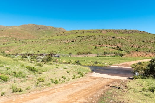
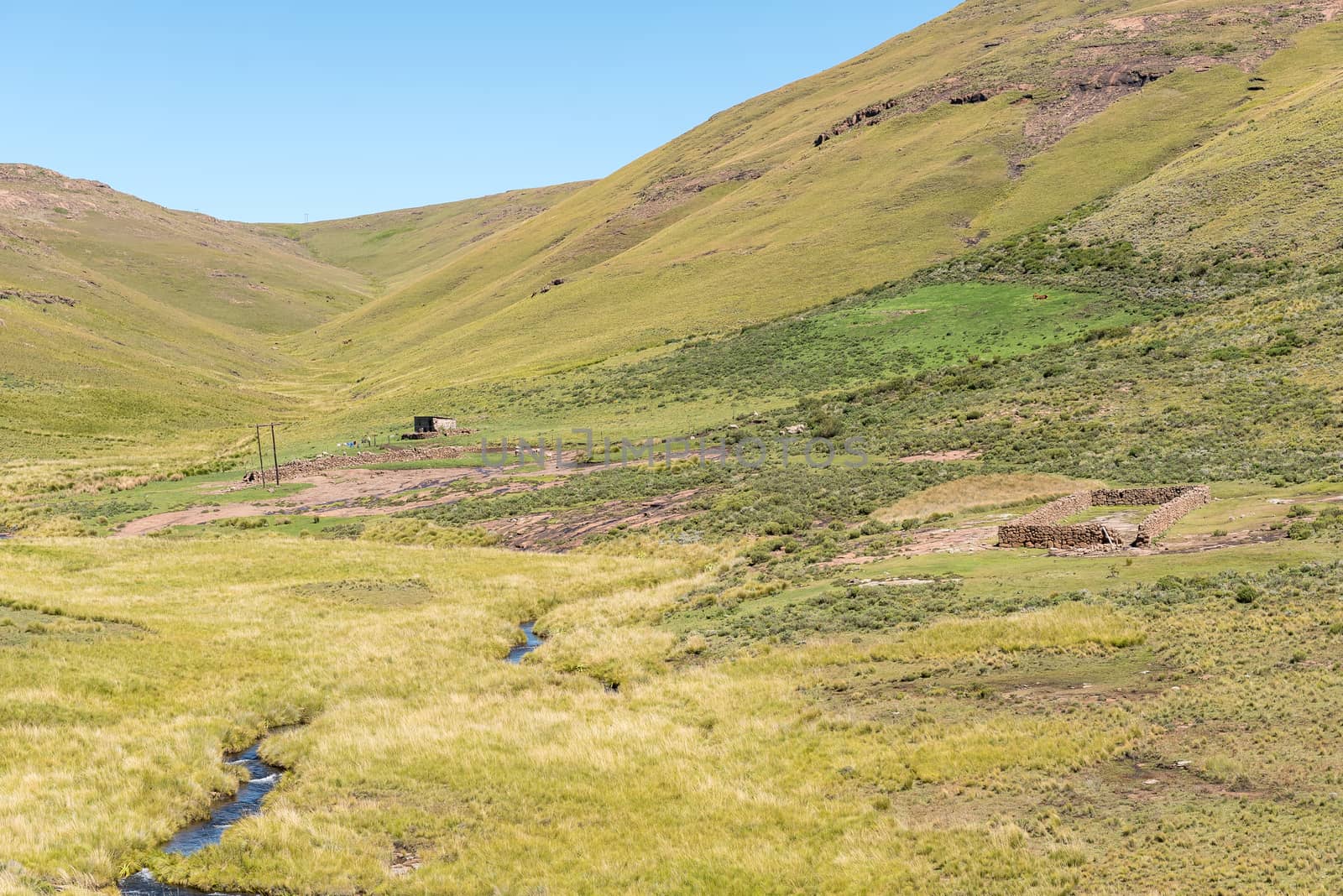
Farm landscape at the bottom of the Naudes Nek Pass
Stock PhotoUsername
dpreezgResolution
3595x2400pxFarm landscape at the bottom of the Naudes Nek Pass
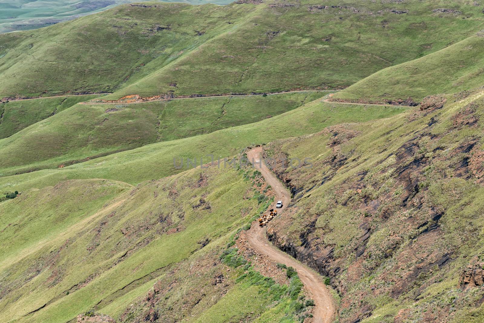
Cattle and a vehicle on the Naudes Nek Pass
Stock PhotoUsername
dpreezgResolution
3595x2400pxCattle and a vehicle on the Naudes Nek Pass
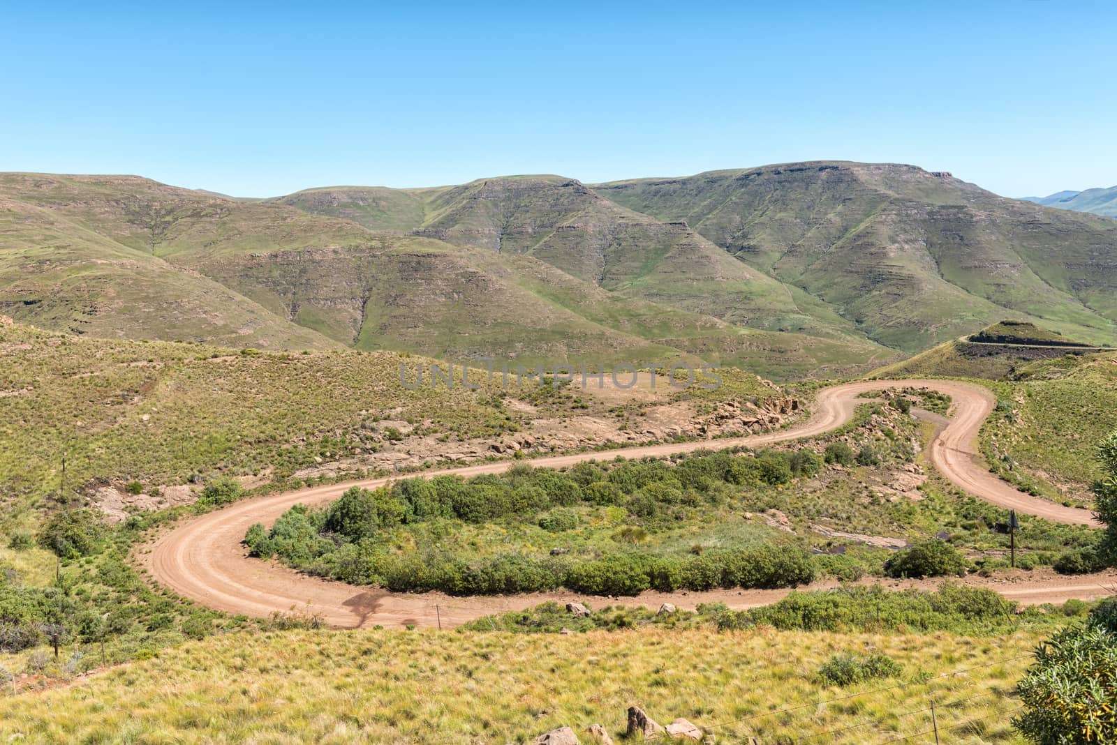
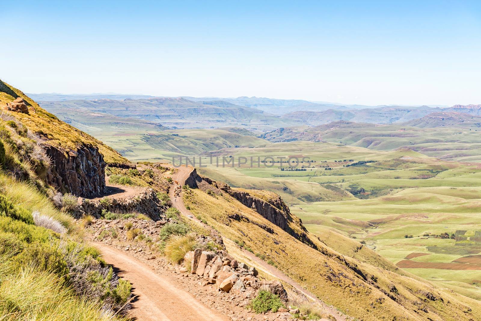
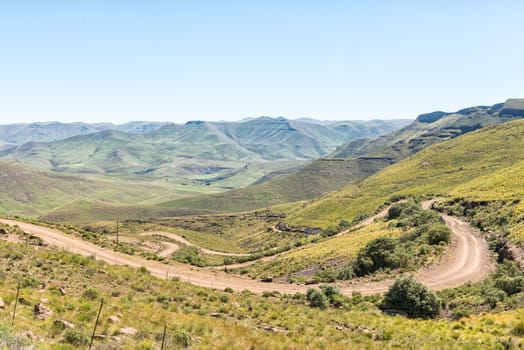
Hairpin bends in the Naudes Nek Pass
Stock PhotoUsername
dpreezgResolution
3595x2400pxHairpin bends in the Naudes Nek Pass

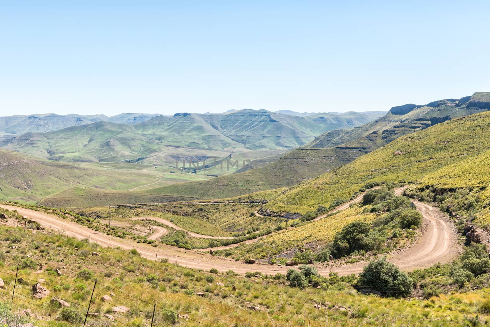
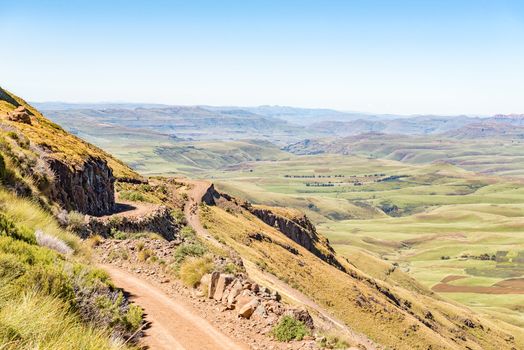
Hairpin bends in the Naudes Nek Pass
Stock PhotoUsername
dpreezgResolution
3595x2400pxHairpin bends in the Naudes Nek Pass
Farm landscape on Naudes Nek Pass
Stock PhotoUsername
dpreezgResolution
3595x2400pxFarm landscape on Naudes Nek Pass
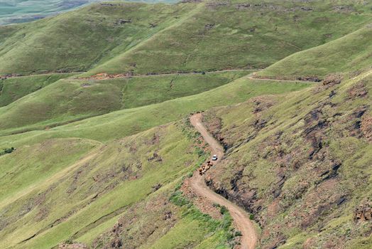
Cattle and a vehicle on the Naudes Nek Pass
Stock PhotoUsername
dpreezgResolution
3595x2400pxCattle and a vehicle on the Naudes Nek Pass
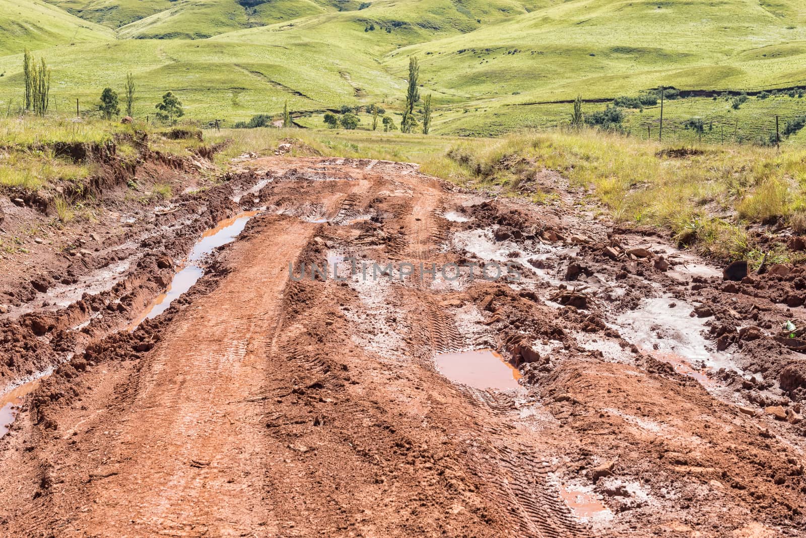
Bad section of the Pot River Pass near Elands Height
Stock PhotoUsername
dpreezgResolution
3595x2400pxBad section of the Pot River Pass near Elands Height

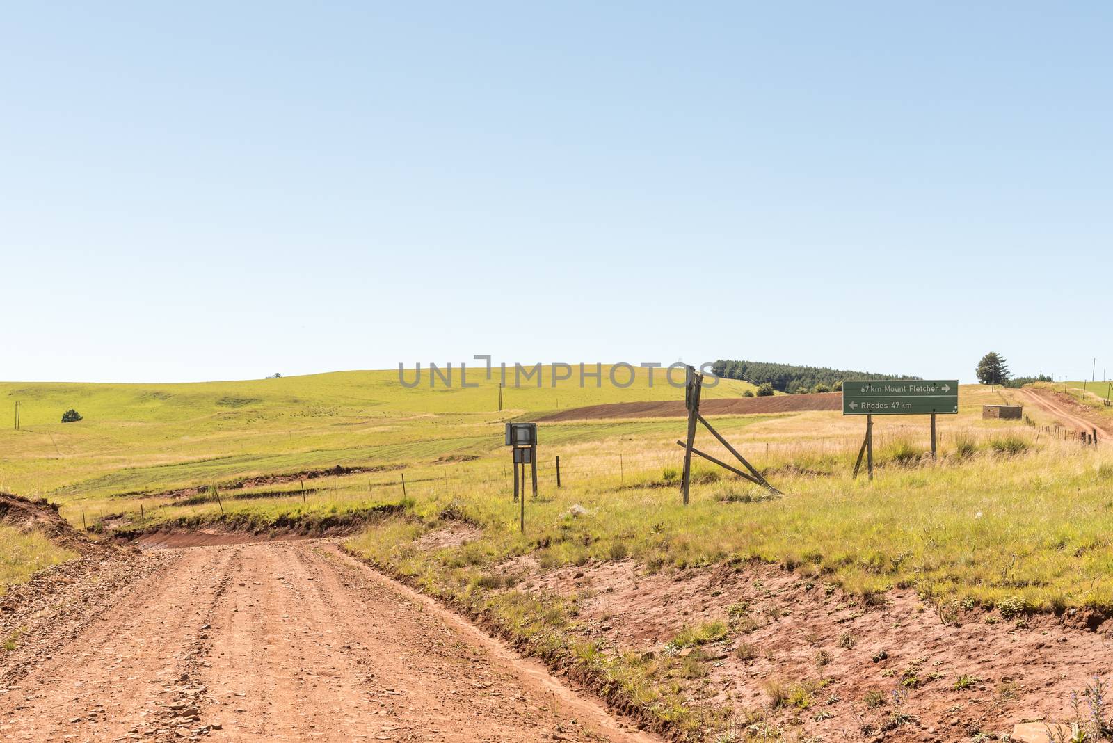
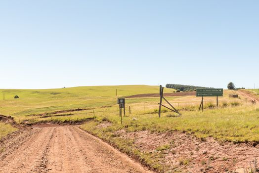
Junction of roads R396 and D8018 near Elands Height
Stock PhotoUsername
dpreezgResolution
3595x2400pxJunction of roads R396 and D8018 near Elands Height
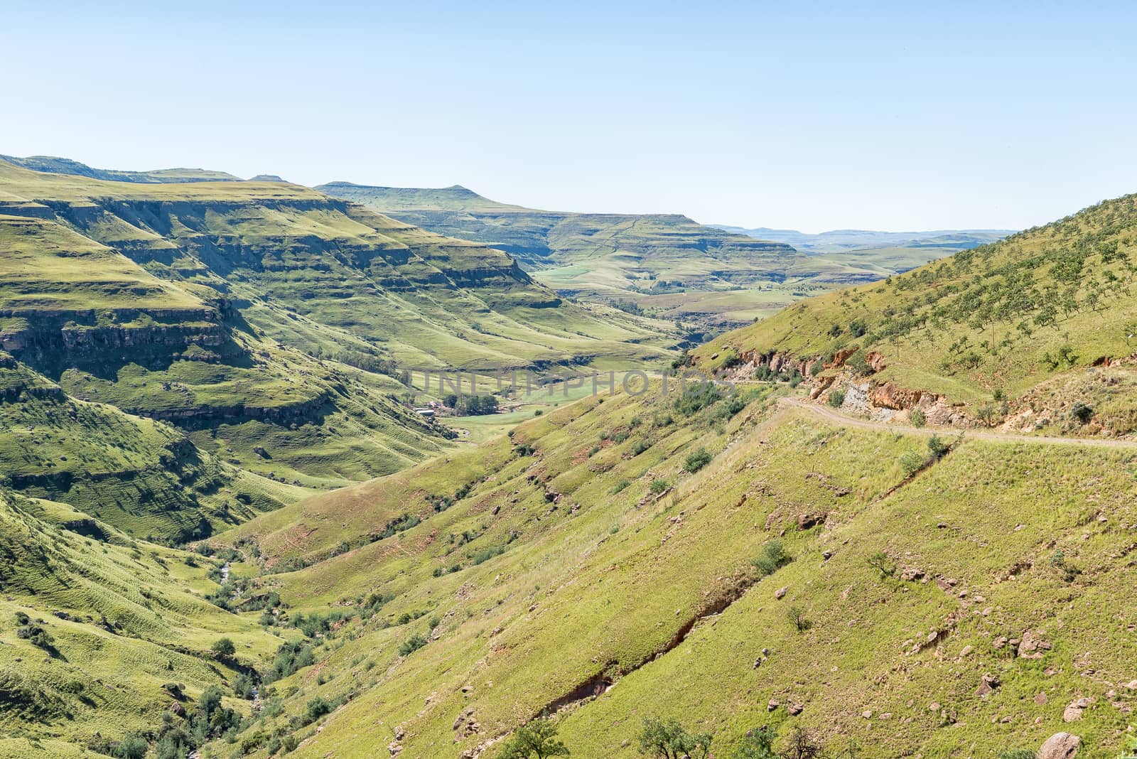
The Pot River Pass in the Eastern Cape Province
Stock PhotoUsername
dpreezgResolution
3595x2400pxThe Pot River Pass in the Eastern Cape Province

The Pot River Pass in the Eastern Cape Province
Stock PhotoUsername
dpreezgResolution
3595x2400pxThe Pot River Pass in the Eastern Cape Province

The Pot River Pass in the Eastern Cape Province
Stock PhotoUsername
dpreezgResolution
3595x2400pxThe Pot River Pass in the Eastern Cape Province
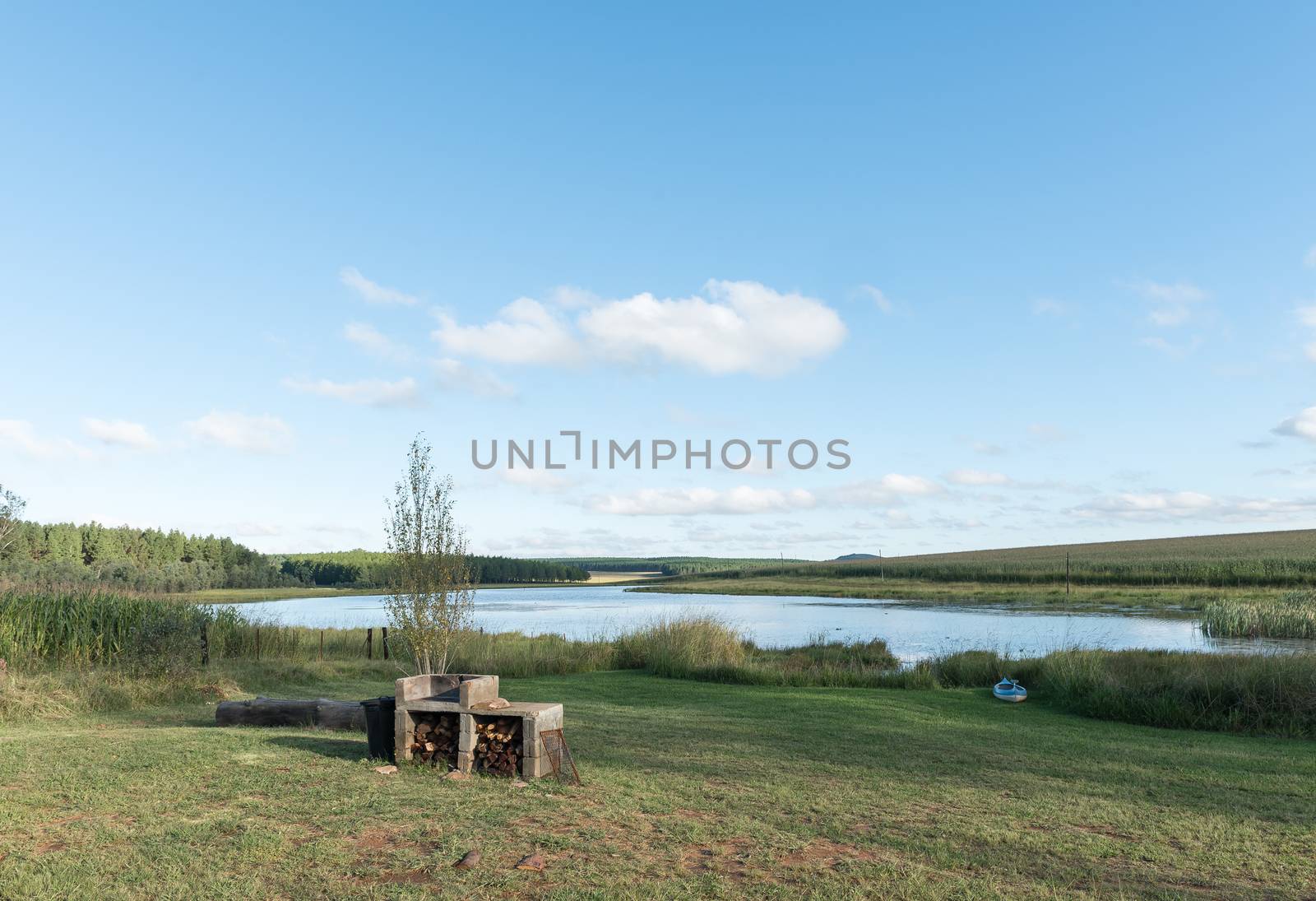
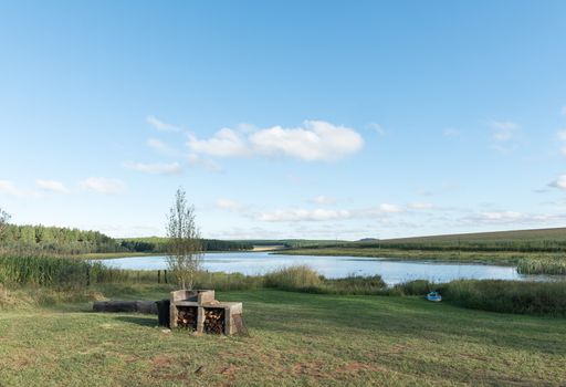
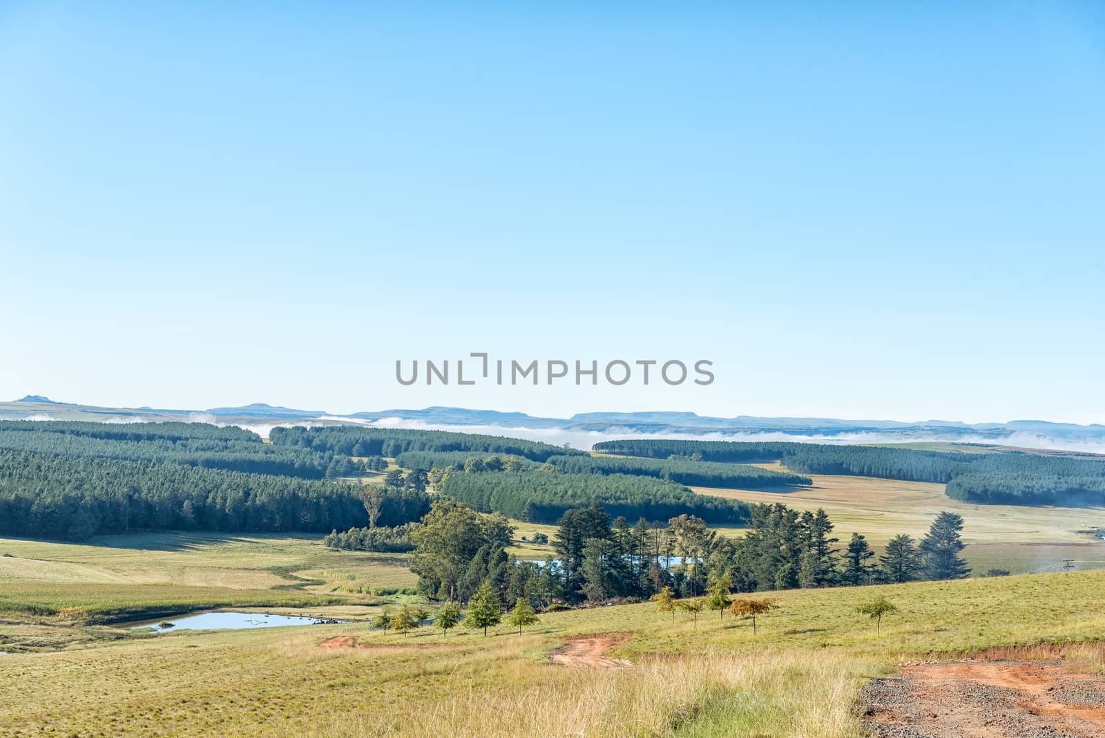
Dam at Tortoni near Maclear in the Eastern Cape Province
Stock PhotoUsername
dpreezgResolution
3508x2400pxDam at Tortoni near Maclear in the Eastern Cape Province
Bridge over the Tsitsa River in the Pot River Pass
Stock PhotoUsername
dpreezgResolution
3595x2400pxBridge over the Tsitsa River in the Pot River Pass

Farm landscape with cows as seen from Pot River Pass
Stock PhotoUsername
dpreezgResolution
3595x2400pxFarm landscape with cows as seen from Pot River Pass

Rockfall on the Pot River Pass in the Eastern Cape
Stock PhotoUsername
dpreezgResolution
3595x2400pxRockfall on the Pot River Pass in the Eastern Cape

Road R396 between Maclear and the Pot River Pass
Stock PhotoUsername
dpreezgResolution
3595x2400pxRoad R396 between Maclear and the Pot River Pass
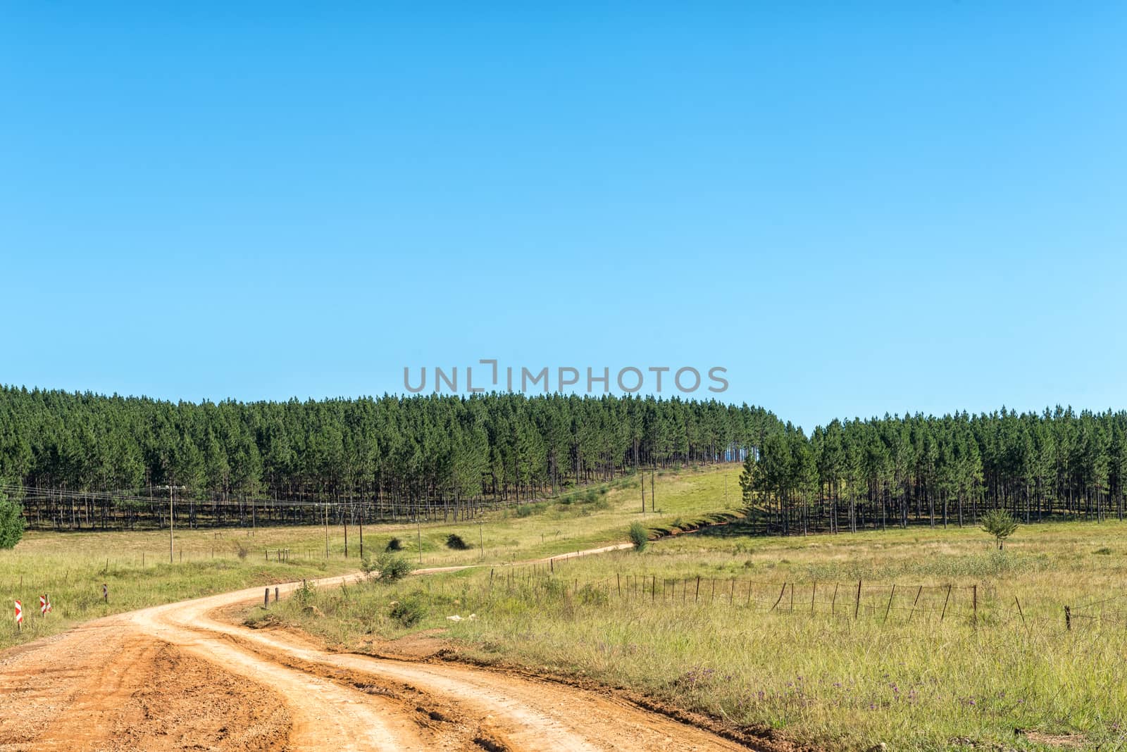
Pine tree plantations next to road R396 near Maclear
Stock PhotoUsername
dpreezgResolution
3595x2400pxPine tree plantations next to road R396 near Maclear
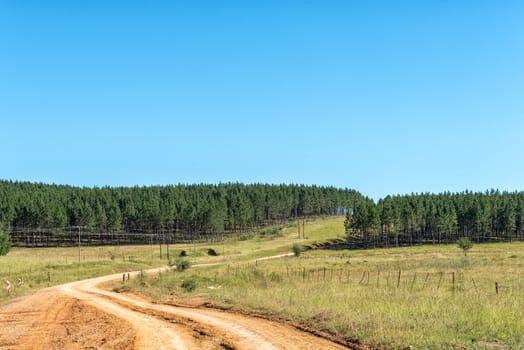
Plantations at Tortoni near Maclear in the Eastern Cape
Stock PhotoUsername
dpreezgResolution
3595x2400pxPlantations at Tortoni near Maclear in the Eastern Cape

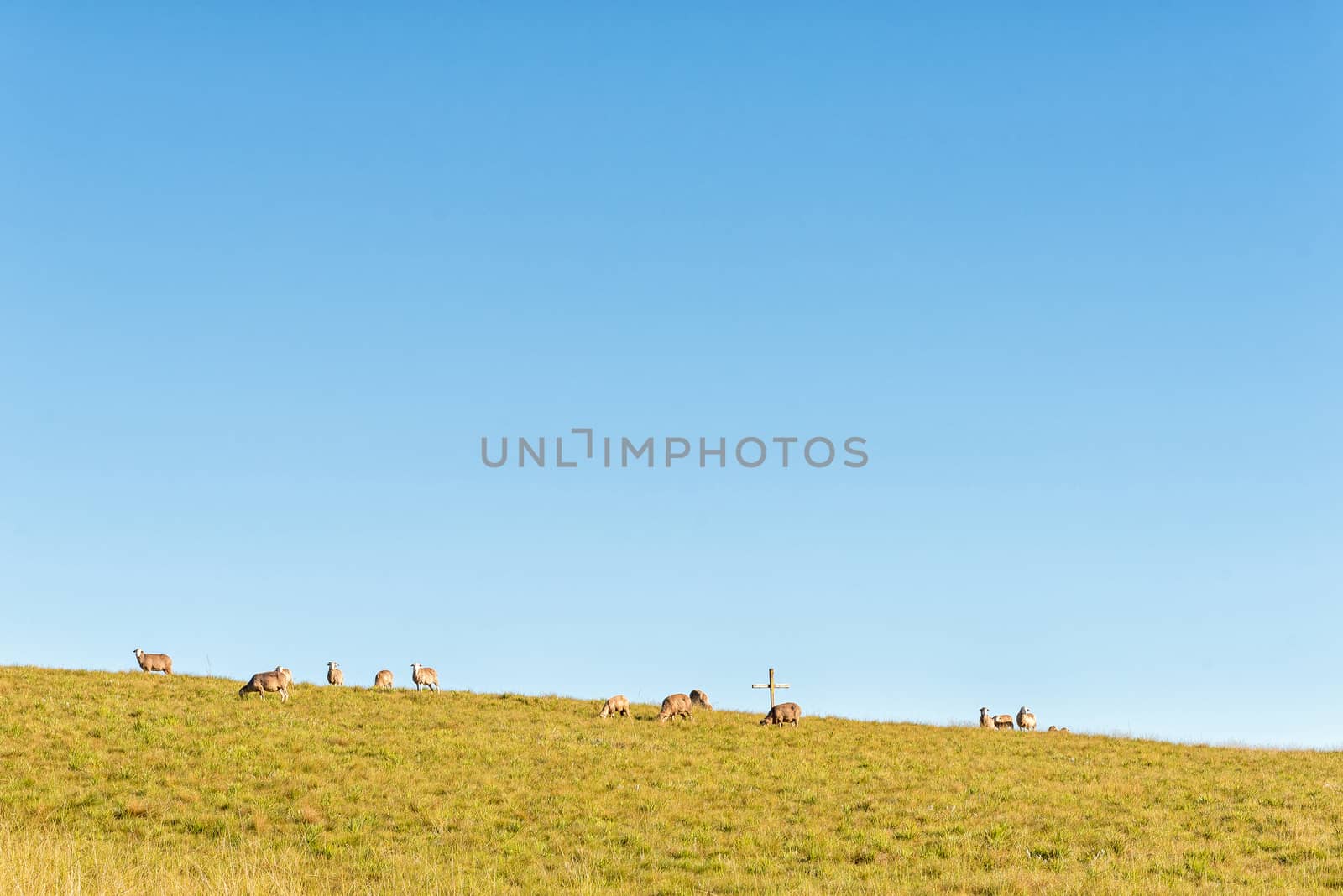
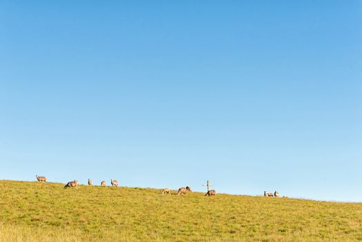
Sheep and a cross on a hill at Tortoni near Maclear
Stock PhotoUsername
dpreezgResolution
3146x2100pxSheep and a cross on a hill at Tortoni near Maclear