- Filter By:
-
-
Stock photos and images of username:dpreezg

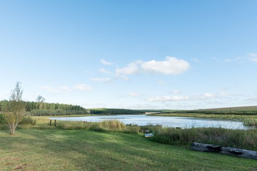
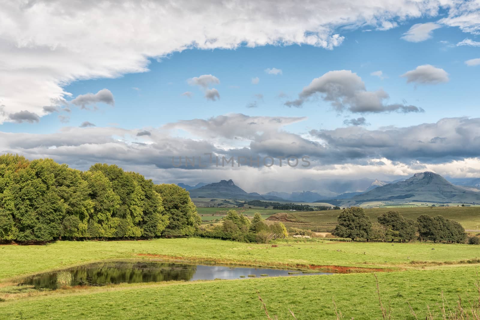
Dam at Tortoni near Maclear in the Eastern Cape Province
Stock PhotoUsername
dpreezgResolution
3595x2400pxDam at Tortoni near Maclear in the Eastern Cape Province

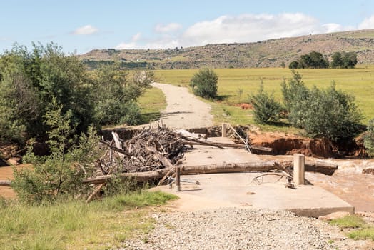
Washed away bridge over the Tsitsa River
Stock PhotoUsername
dpreezgResolution
3595x2400pxWashed away bridge over the Tsitsa River
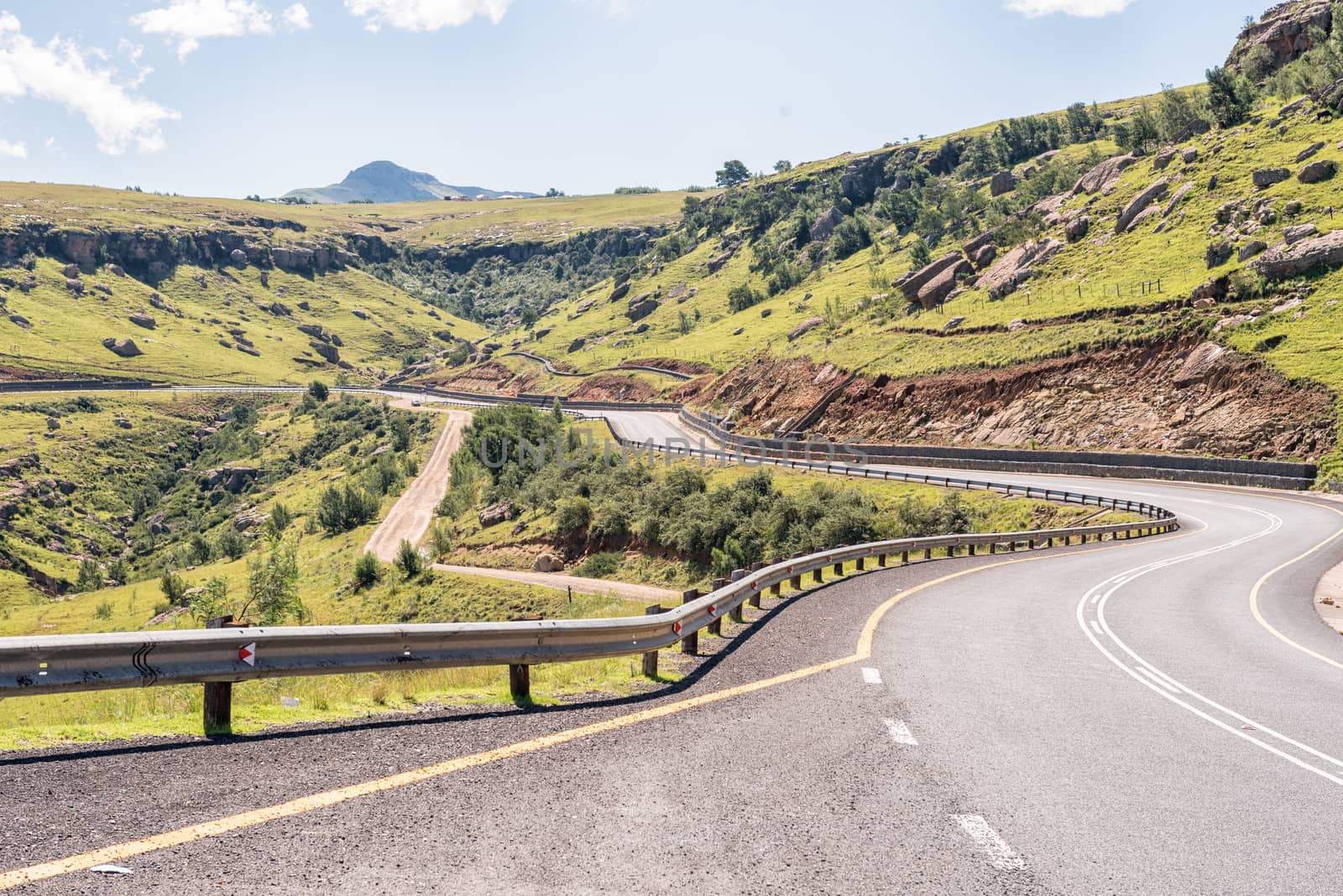
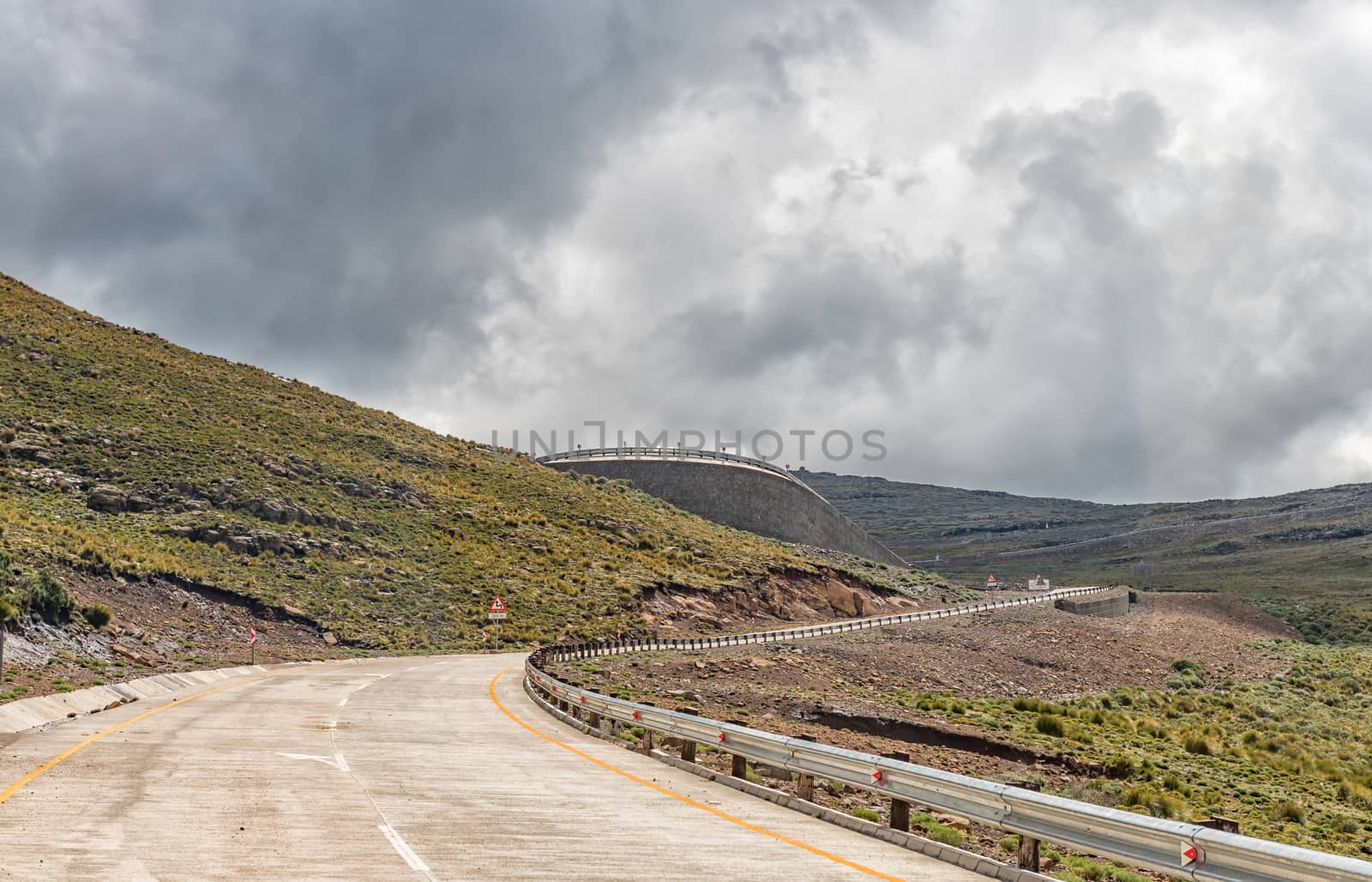
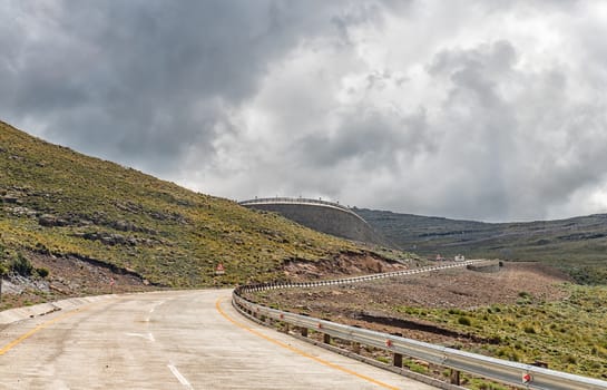
Katkop Pass between Mount Fletcher and Maclear
Stock PhotoUsername
dpreezgResolution
3595x2400pxKatkop Pass between Mount Fletcher and Maclear
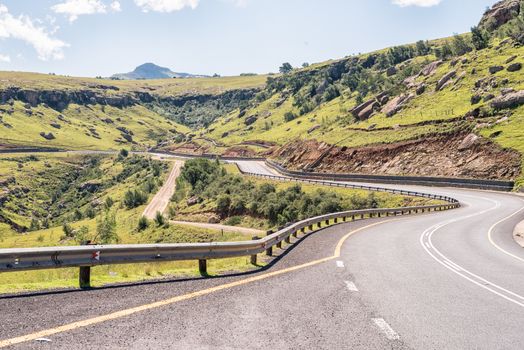
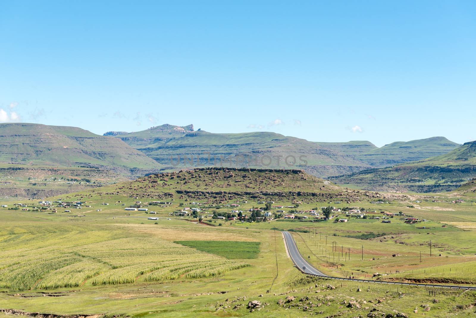
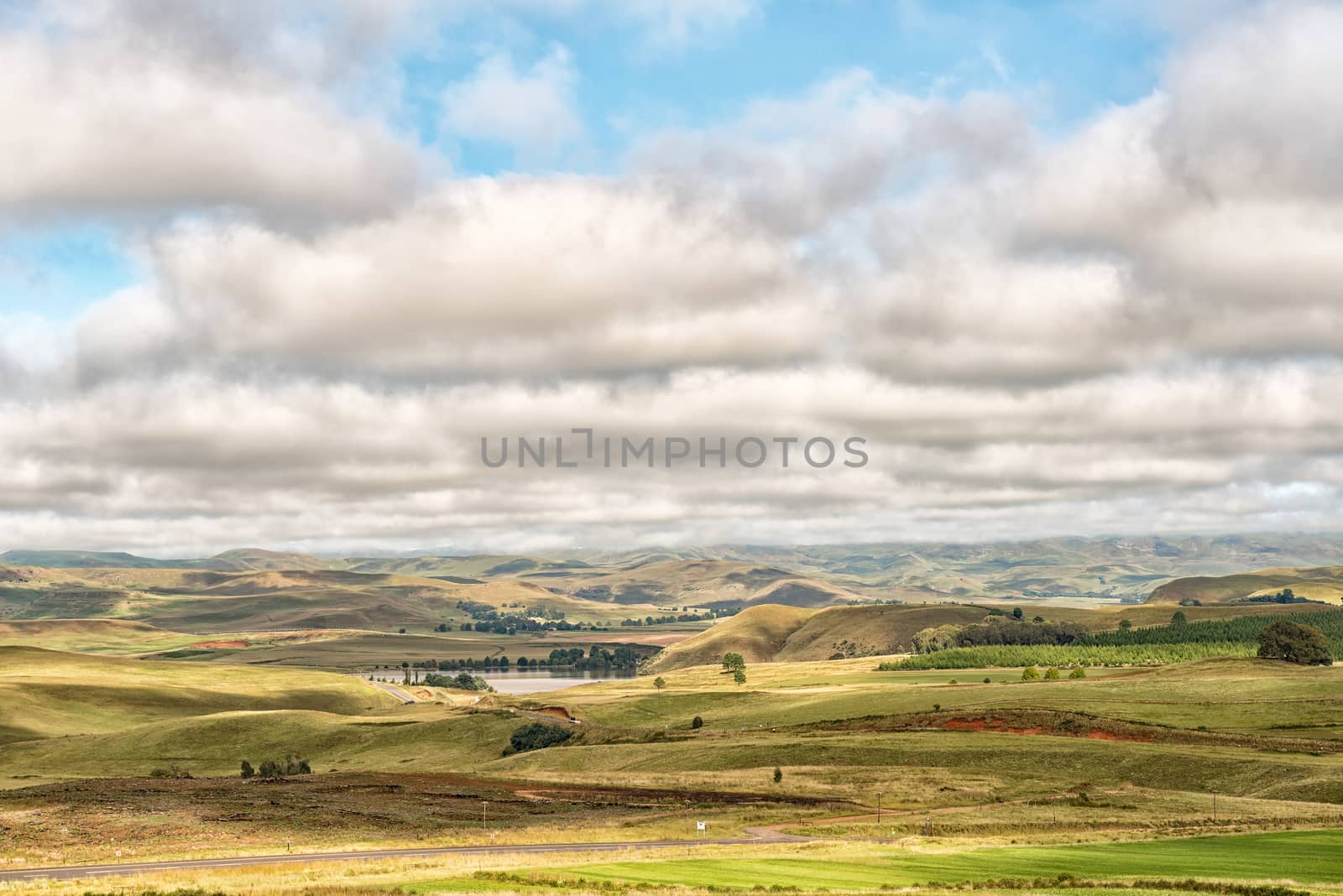
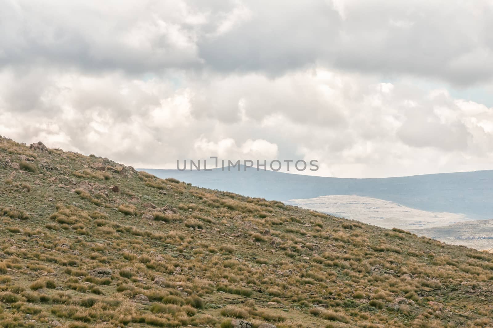
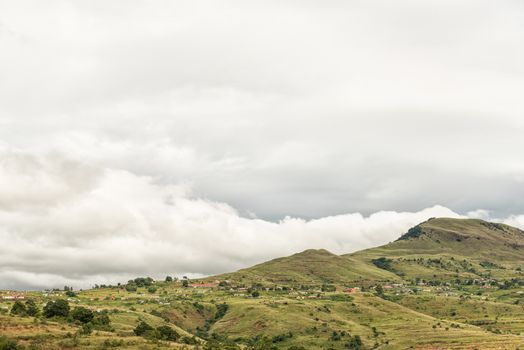
Landscape next to road R65 near Mount Fletcher
Stock PhotoUsername
dpreezgResolution
3595x2400pxLandscape next to road R65 near Mount Fletcher
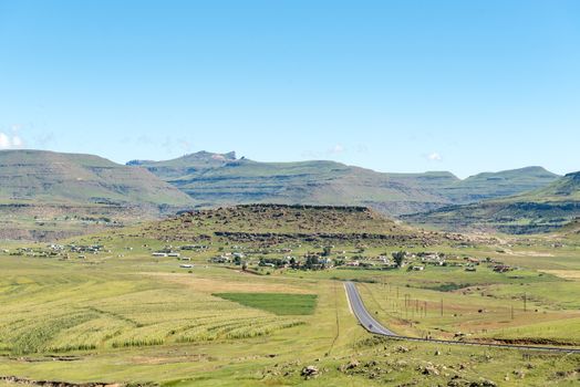

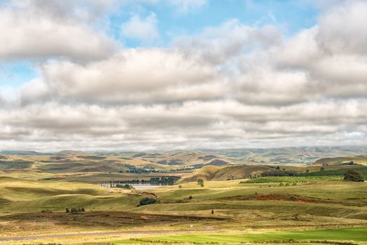
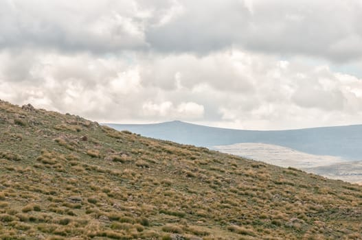
Landscape next to road R65 near Mount Fletcher
Stock PhotoUsername
dpreezgResolution
3595x2400pxLandscape next to road R65 near Mount Fletcher
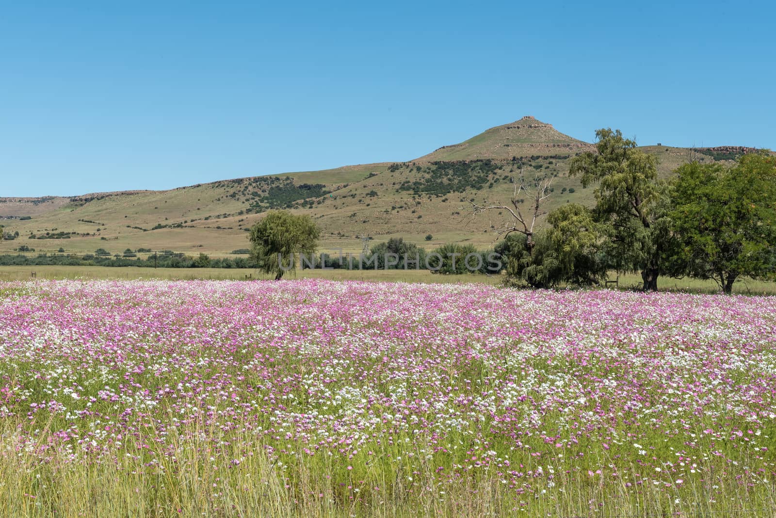
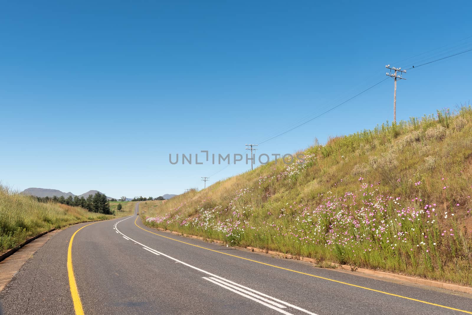
White and pink cosmos flowers near Matatiele
Stock PhotoUsername
dpreezgResolution
3595x2400pxWhite and pink cosmos flowers near Matatiele


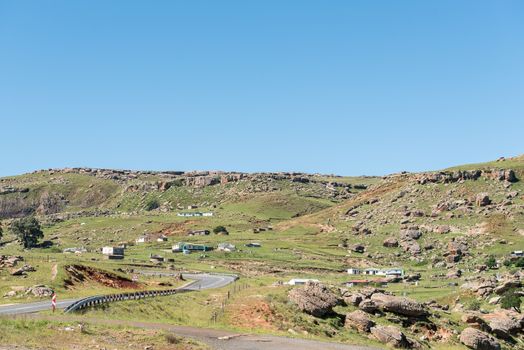
Landscape next to road R65 near Mount Fletcher
Stock PhotoUsername
dpreezgResolution
3595x2400pxLandscape next to road R65 near Mount Fletcher

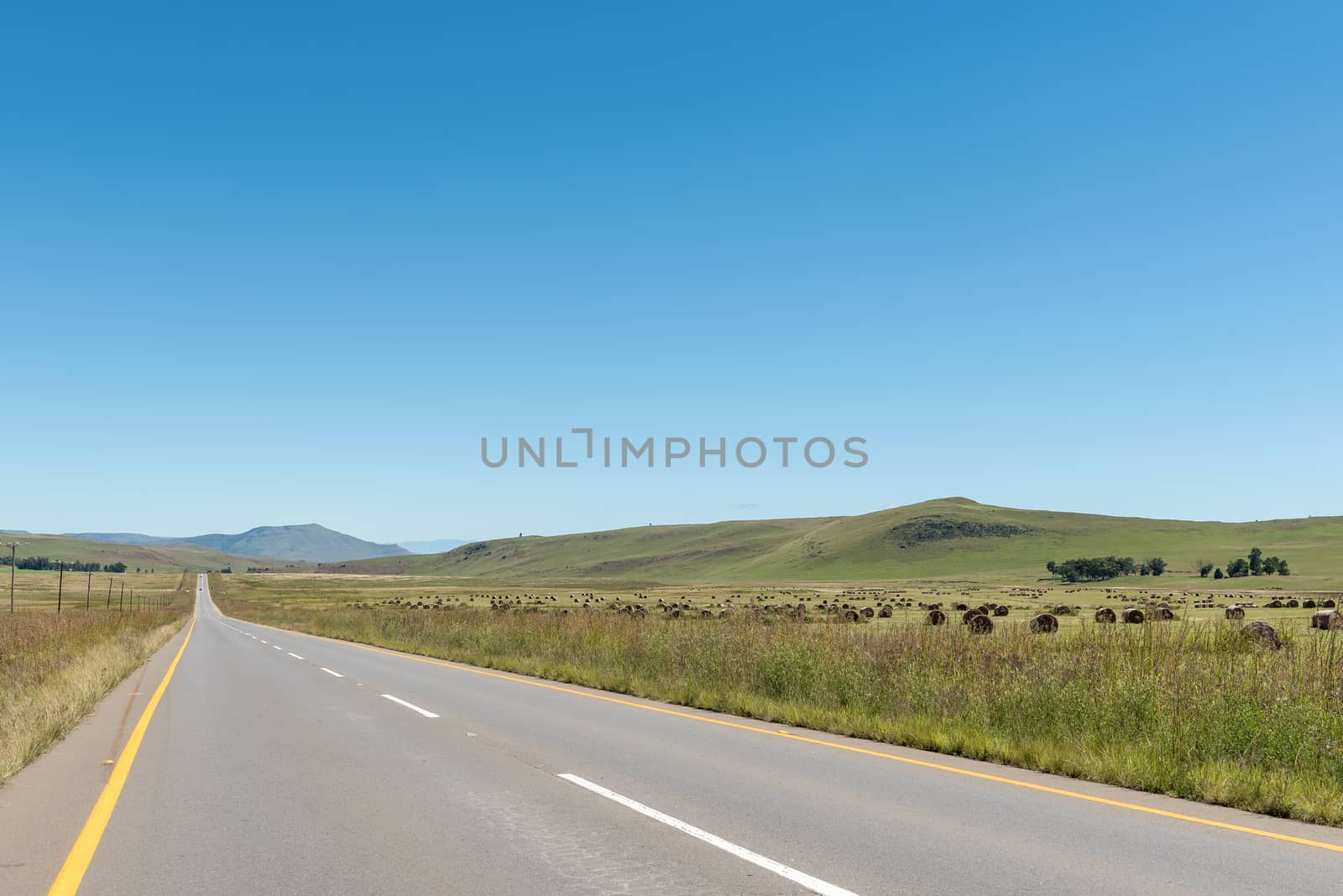
Farm landscape with bales of grass between Kokstad and Cedarvil
Stock PhotoUsername
dpreezgResolution
3595x2400pxFarm landscape with bales of grass between Kokstad and Cedarvil

Road landscape with cosmos flowers between Underberg and Kokstad
Stock PhotoUsername
dpreezgResolution
4045x2700pxRoad landscape with cosmos flowers between Underberg and Kokstad

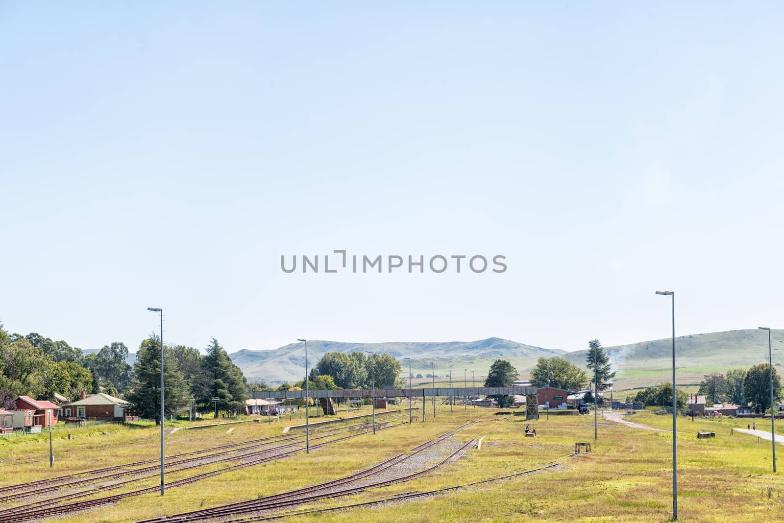
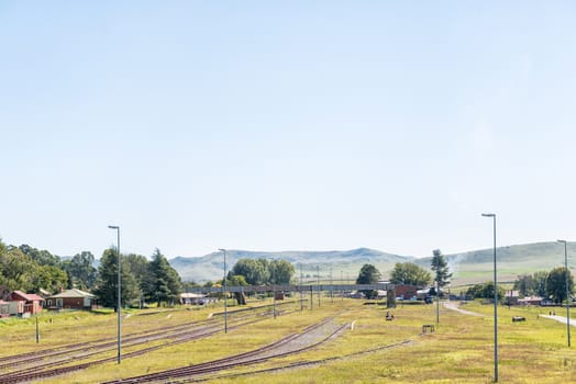
Railway station in Franklin in the Kwazulu-Natal Province
Stock PhotoUsername
dpreezgResolution
3595x2400pxRailway station in Franklin in the Kwazulu-Natal Province
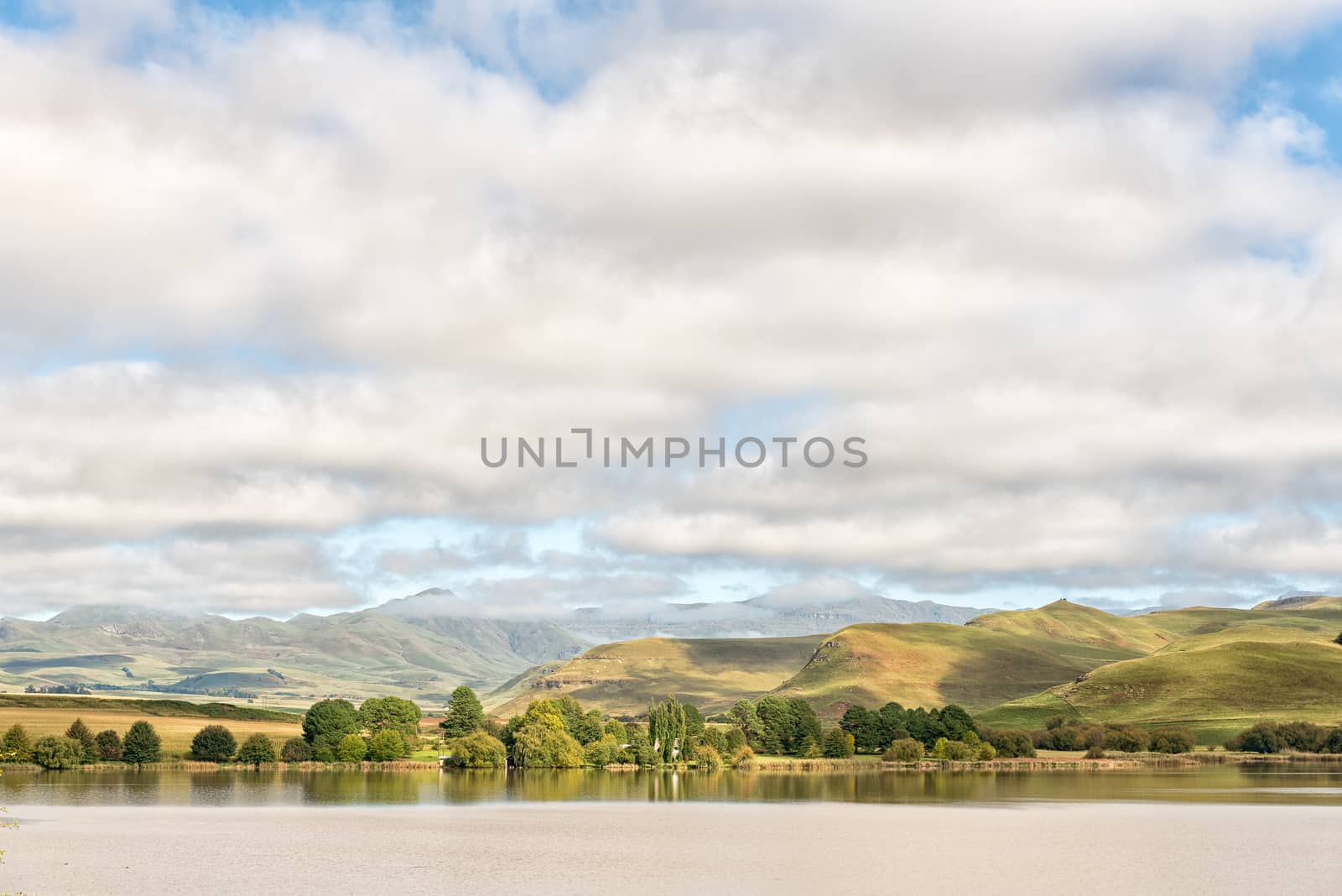
Lake Curragh between Underberg and Kokstad
Stock PhotoUsername
dpreezgResolution
3595x2400pxLake Curragh between Underberg and Kokstad

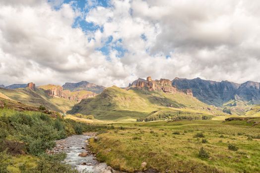
Garden Castle in the Drakensberg near Underberg
Stock PhotoUsername
dpreezgResolution
3595x2400pxGarden Castle in the Drakensberg near Underberg

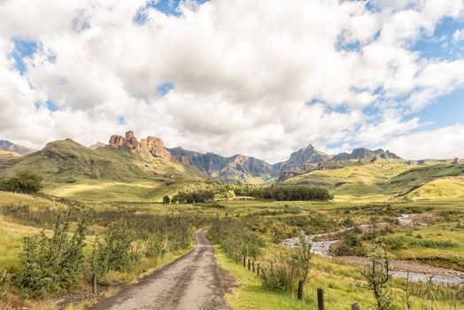
Farm landscape on the R617-road between Underberg and Kokstad
Stock PhotoUsername
dpreezgResolution
3595x2400pxFarm landscape on the R617-road between Underberg and Kokstad
Farm landscape on the R617-road between Underberg and Kokstad
Stock PhotoUsername
dpreezgResolution
3595x2400pxFarm landscape on the R617-road between Underberg and Kokstad
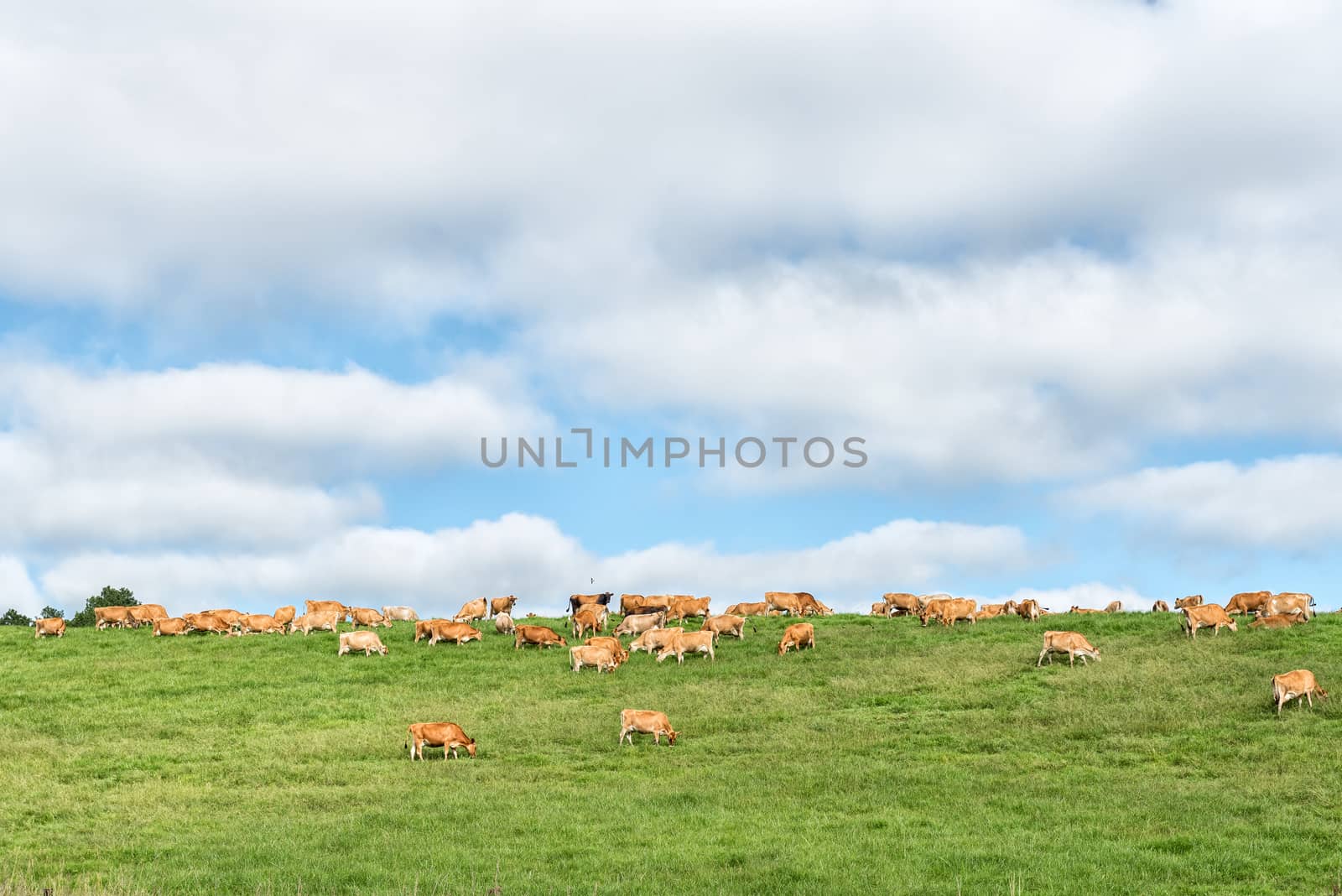
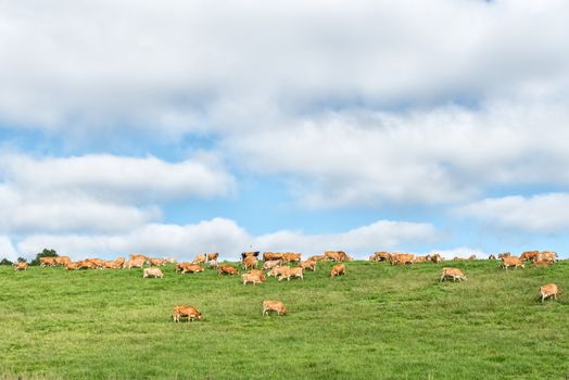
Farm landscape with cows on the P317-road
Stock PhotoUsername
dpreezgResolution
3595x2400pxFarm landscape with cows on the P317-road

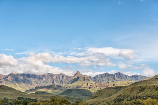
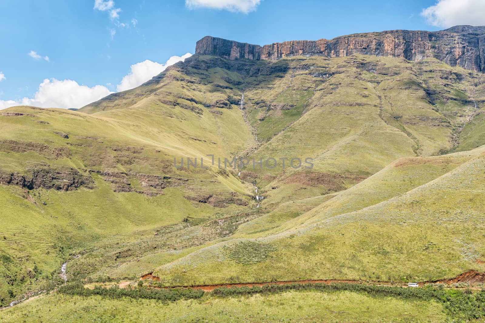
Rhino Peak (3056m) behind fog at Garden Castle
Stock PhotoUsername
dpreezgResolution
3595x2400pxRhino Peak (3056m) behind fog at Garden Castle
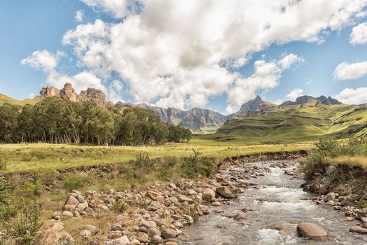
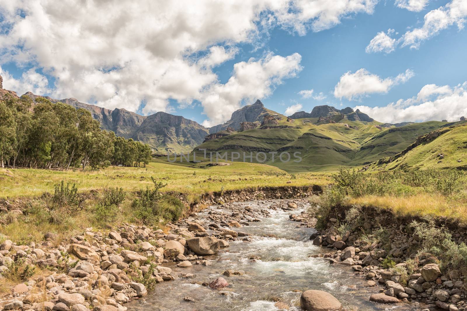
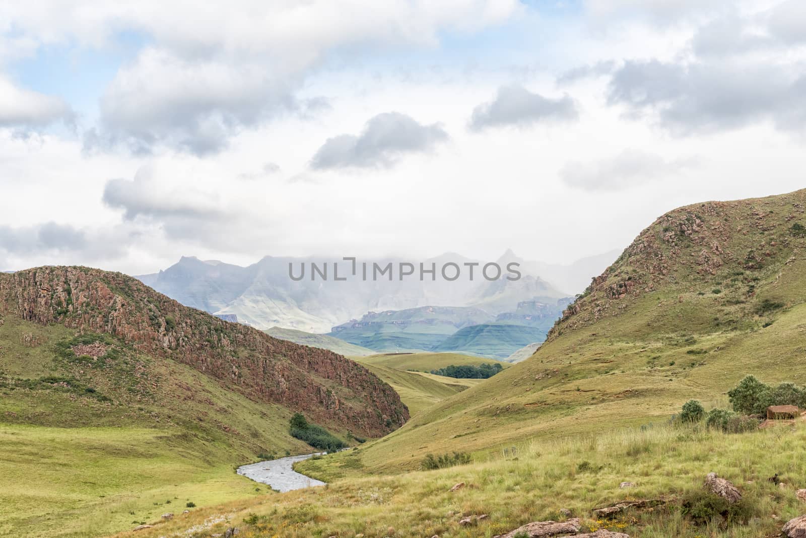
View from the Three Pools hiking trail at Garden Castle
Stock PhotoUsername
dpreezgResolution
3595x2400pxView from the Three Pools hiking trail at Garden Castle

Sunset at Hermits Wood Camp Site at Garden Castle
Stock PhotoUsername
dpreezgResolution
3146x2100pxSunset at Hermits Wood Camp Site at Garden Castle

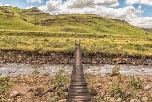
Pedestrian bridge over the Mlambonja River at Garden Castle
Stock PhotoUsername
dpreezgResolution
3595x2400pxPedestrian bridge over the Mlambonja River at Garden Castle
Garden Castle in the Drakensberg near Underberg
Stock PhotoUsername
dpreezgResolution
3595x2400pxGarden Castle in the Drakensberg near Underberg
Garden Castle in the Drakensberg near Underberg
Stock PhotoUsername
dpreezgResolution
3595x2400pxGarden Castle in the Drakensberg near Underberg
Garden Castle in the Drakensberg near Underberg
Stock PhotoUsername
dpreezgResolution
3595x2400pxGarden Castle in the Drakensberg near Underberg
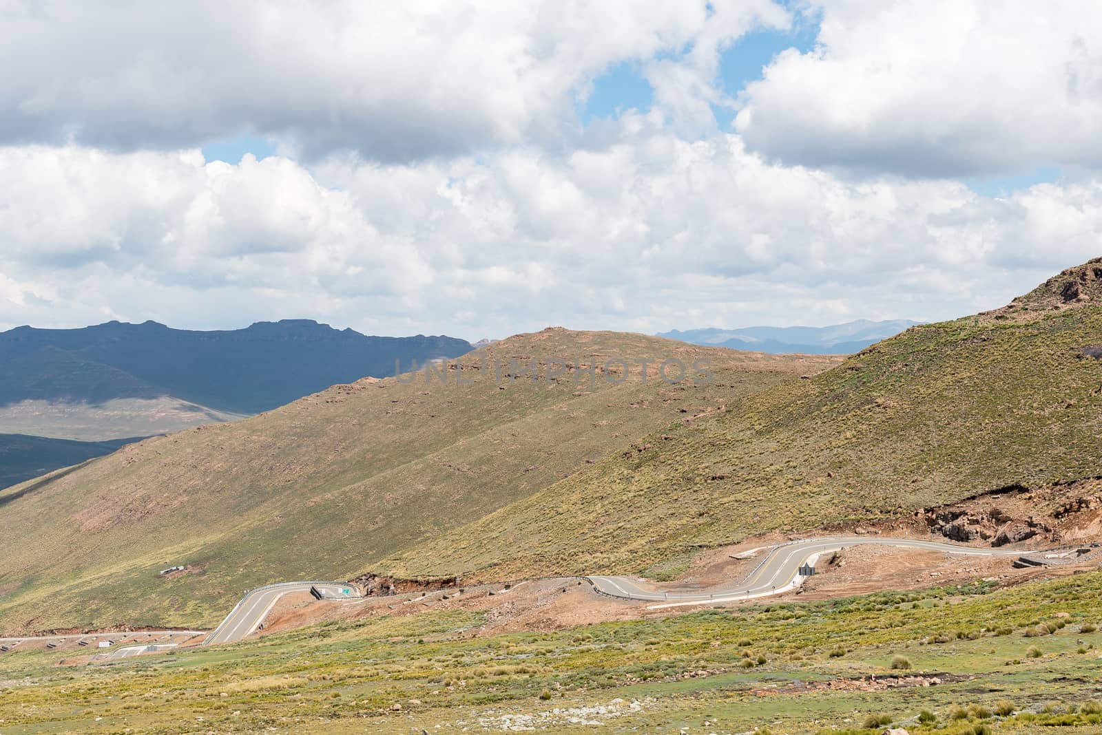
Black Mountain Pass in Lesotho
Stock PhotoUsername
dpreezgResolution
3595x2400pxBlack Mountain Pass in Lesotho
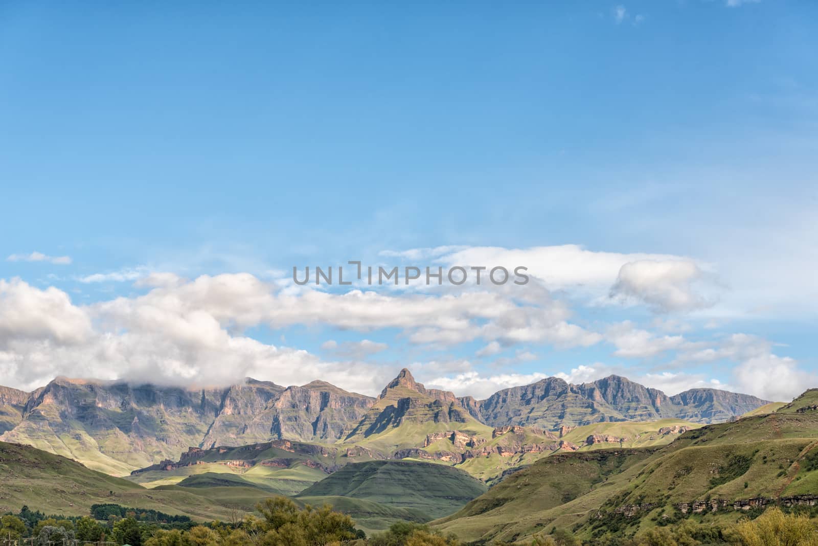
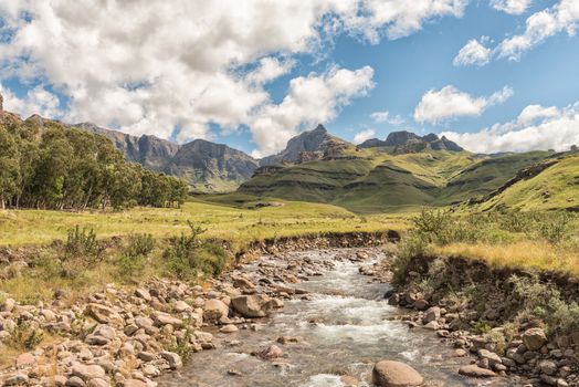
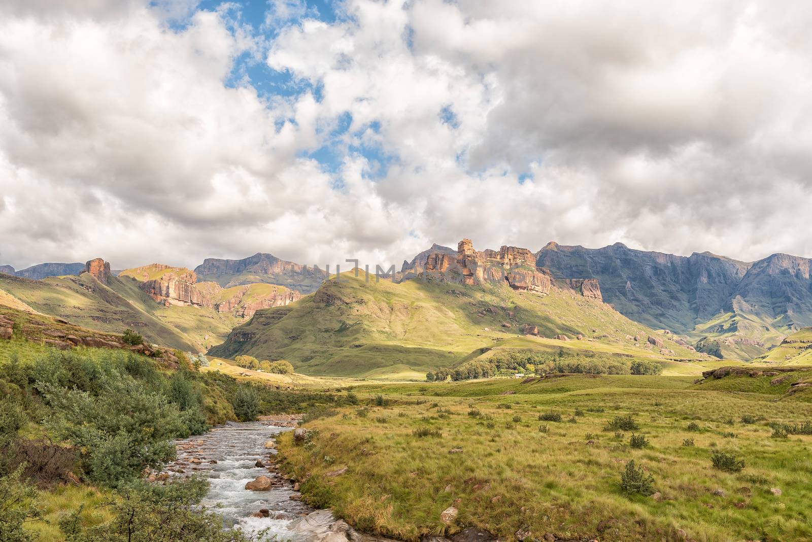
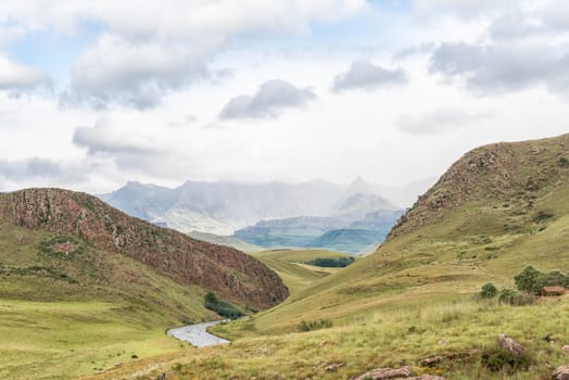
Drakensberg at Garden Castle. Rhino Peak is visible in middle
Stock PhotoUsername
dpreezgResolution
3595x2400pxDrakensberg at Garden Castle. Rhino Peak is visible in middle

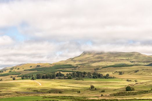
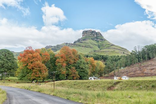
Autumn farm landscape on road to Garden Castle in Drakensberg
Stock PhotoUsername
dpreezgResolution
3595x2400pxAutumn farm landscape on road to Garden Castle in Drakensberg
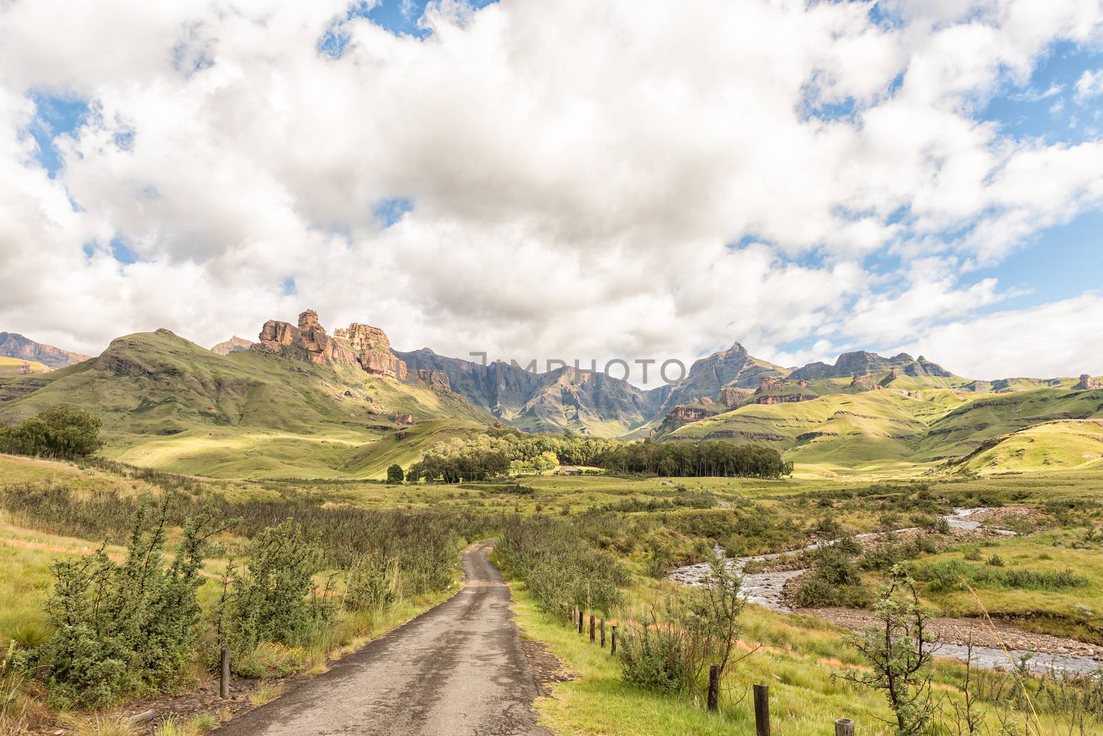
Landscape on P317-road to Garden Castle in Drakensberg
Stock PhotoUsername
dpreezgResolution
3595x2400pxLandscape on P317-road to Garden Castle in Drakensberg
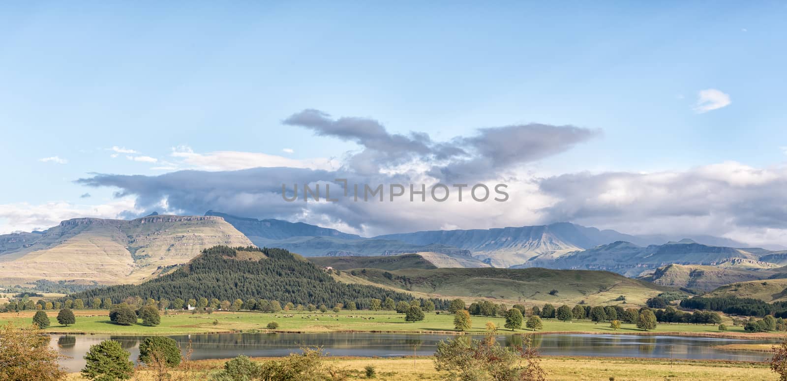
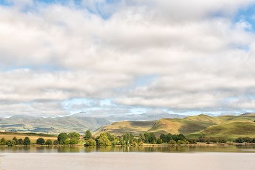
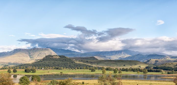
Lake Glencairn near Himeville in Kwazulu-Natal
Stock PhotoUsername
dpreezgResolution
5572x2700pxLake Glencairn near Himeville in Kwazulu-Natal
Landscape on P317-road to Garden Castle in the Drakensberg
Stock PhotoUsername
dpreezgResolution
3595x2400pxLandscape on P317-road to Garden Castle in the Drakensberg


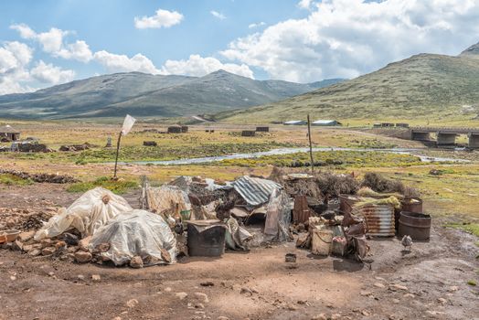
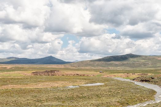
Mamokae village at the foot of the Black Mountain Pass
Stock PhotoUsername
dpreezgResolution
3595x2400pxMamokae village at the foot of the Black Mountain Pass
Black Mountain Pass in Lesotho
Stock PhotoUsername
dpreezgResolution
3595x2400pxBlack Mountain Pass in Lesotho
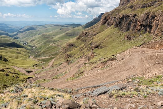
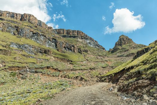
The hairpin bends in the Sani Pass
Stock PhotoUsername
dpreezgResolution
3595x2400pxThe hairpin bends in the Sani Pass
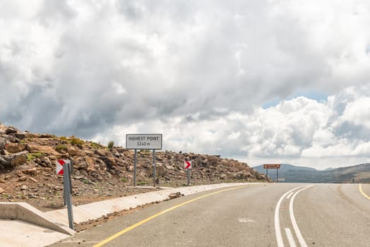
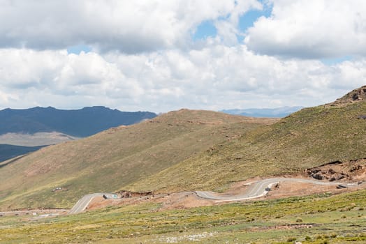
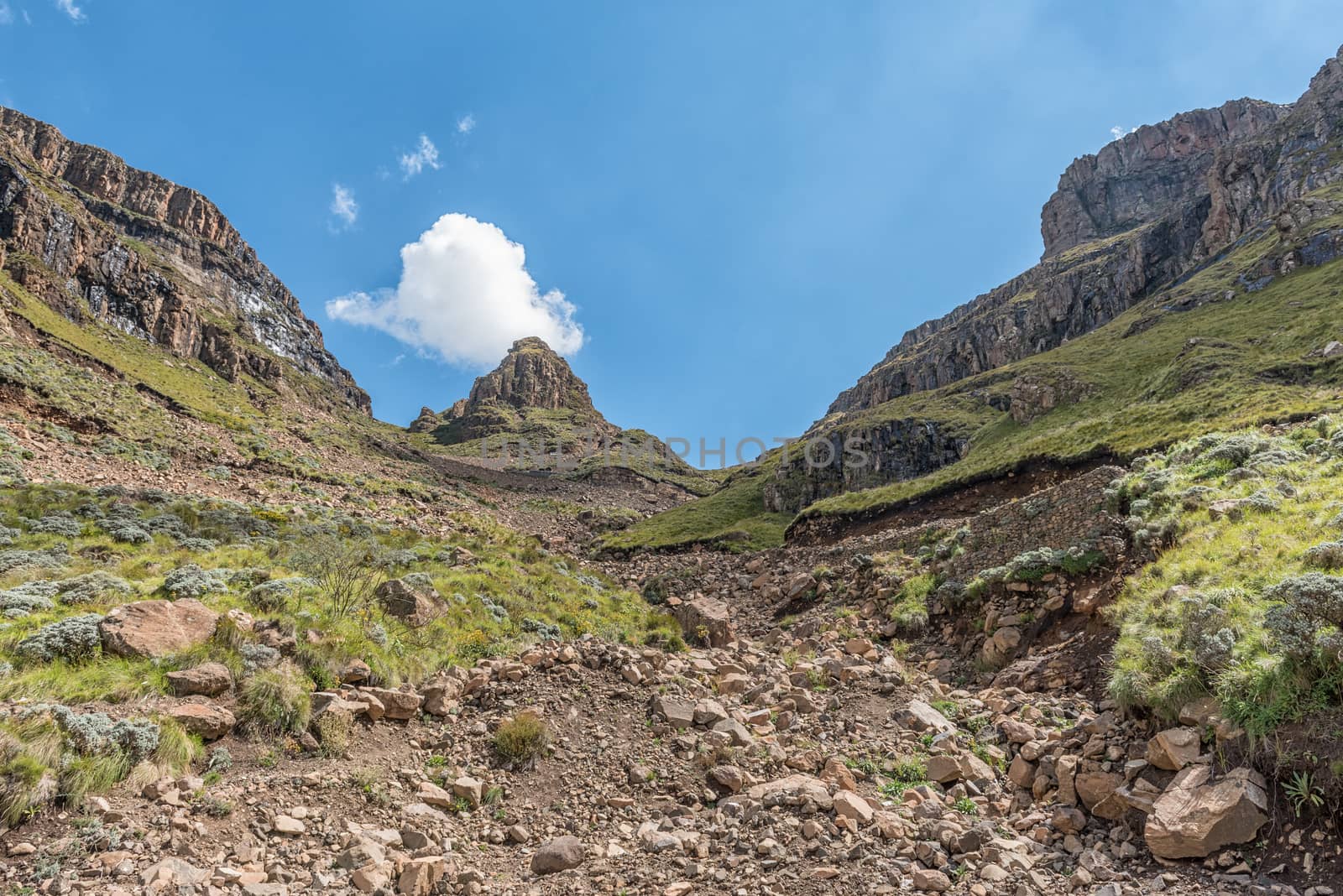
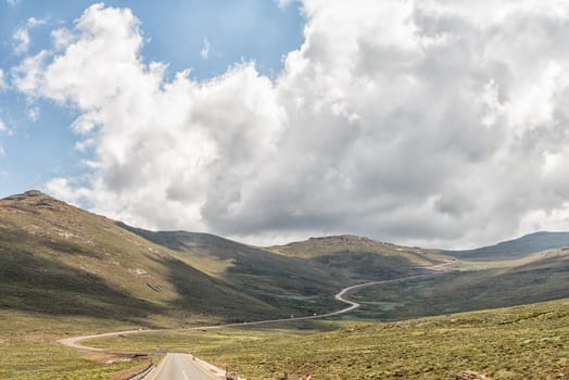
Top of Black Mountain Pass in Lesotho
Stock PhotoUsername
dpreezgResolution
3595x2400pxTop of Black Mountain Pass in Lesotho
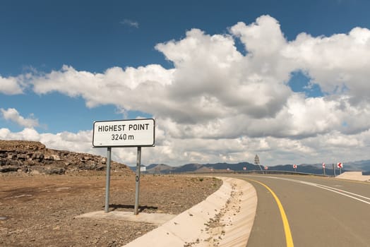
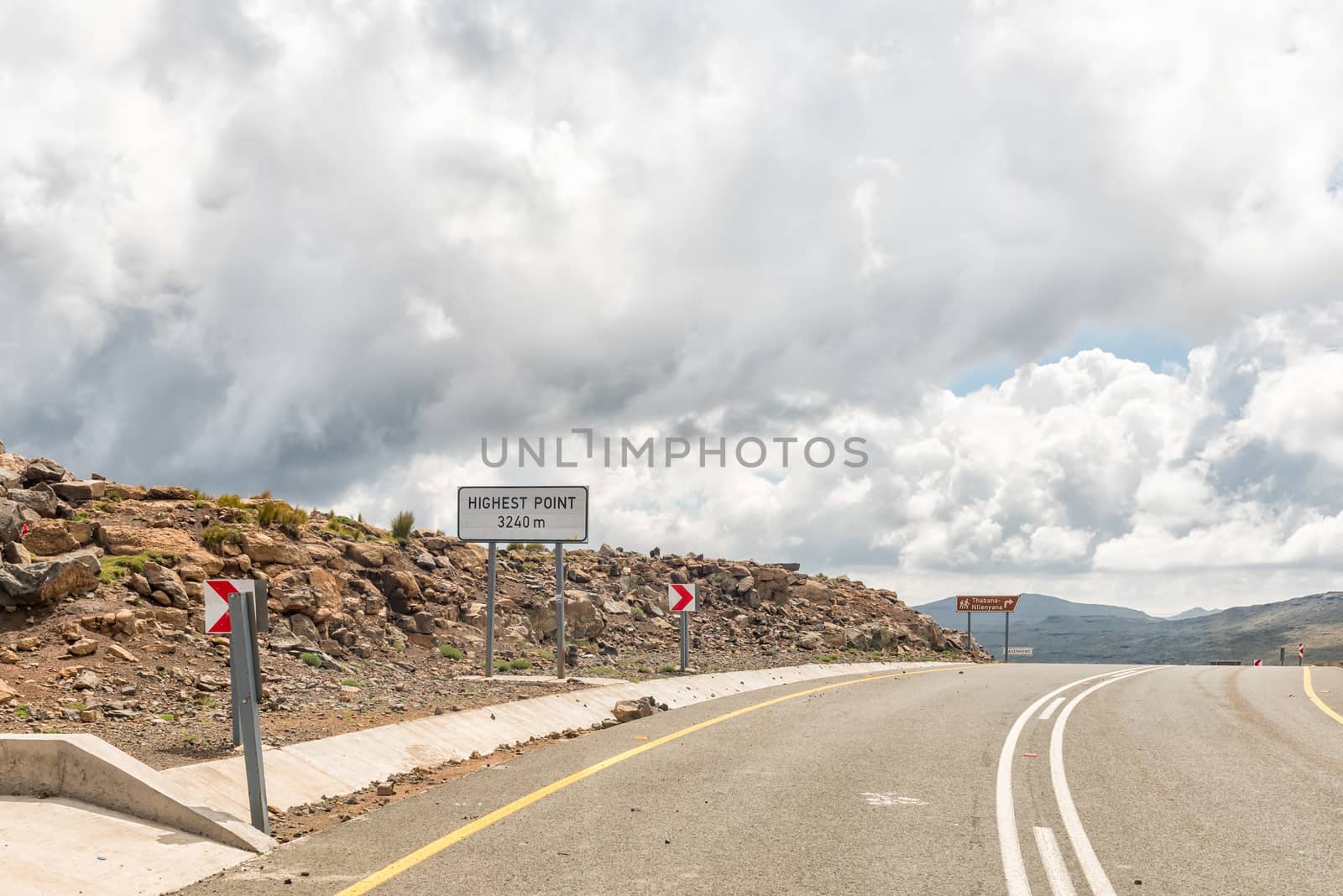
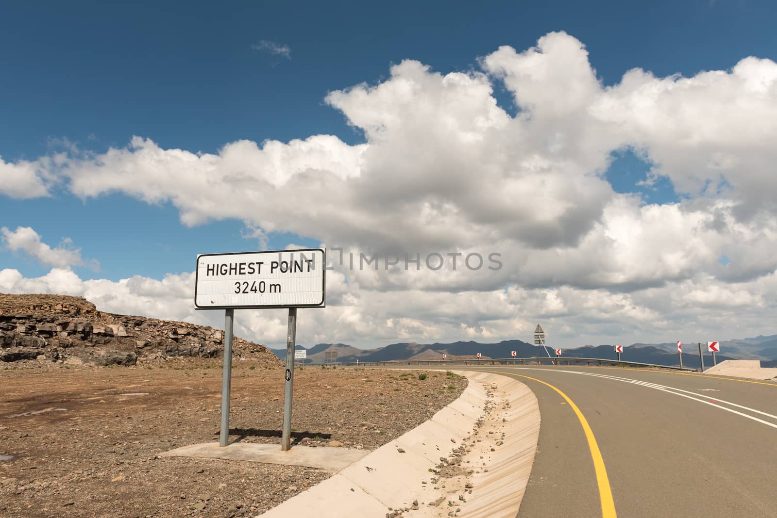
Thabana Ntlenyana, at 3428 meter highest point in Southern Afric
Stock PhotoUsername
dpreezgResolution
3613x2400pxThabana Ntlenyana, at 3428 meter highest point in Southern Afric
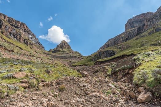
Black Mountain Pass in Lesotho
Stock PhotoUsername
dpreezgResolution
3480x2236pxBlack Mountain Pass in Lesotho

Black Mountain Pass in Lesotho
Stock PhotoUsername
dpreezgResolution
3595x2400pxBlack Mountain Pass in Lesotho
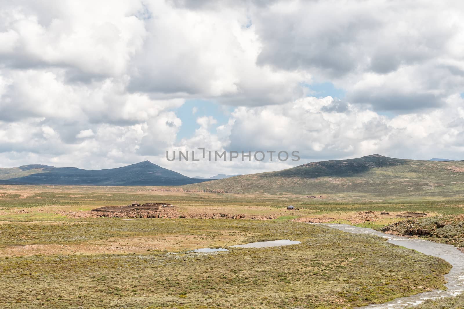
Farm landscape at the foot of the Black Mountain Pass
Stock PhotoUsername
dpreezgResolution
3595x2400pxFarm landscape at the foot of the Black Mountain Pass

The hairpin bends in the Sani Pass
Stock PhotoUsername
dpreezgResolution
3590x2400pxThe hairpin bends in the Sani Pass

The hairpin bends in the Sani Pass
Stock PhotoUsername
dpreezgResolution
3595x2400pxThe hairpin bends in the Sani Pass

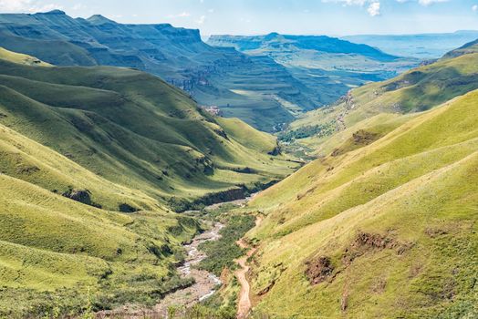
View from Sani Pass back towards South African Border Post
Stock PhotoUsername
dpreezgResolution
3595x2400pxView from Sani Pass back towards South African Border Post
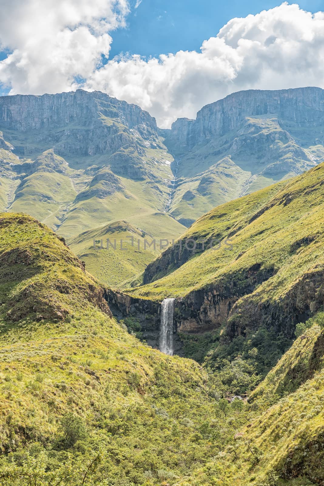
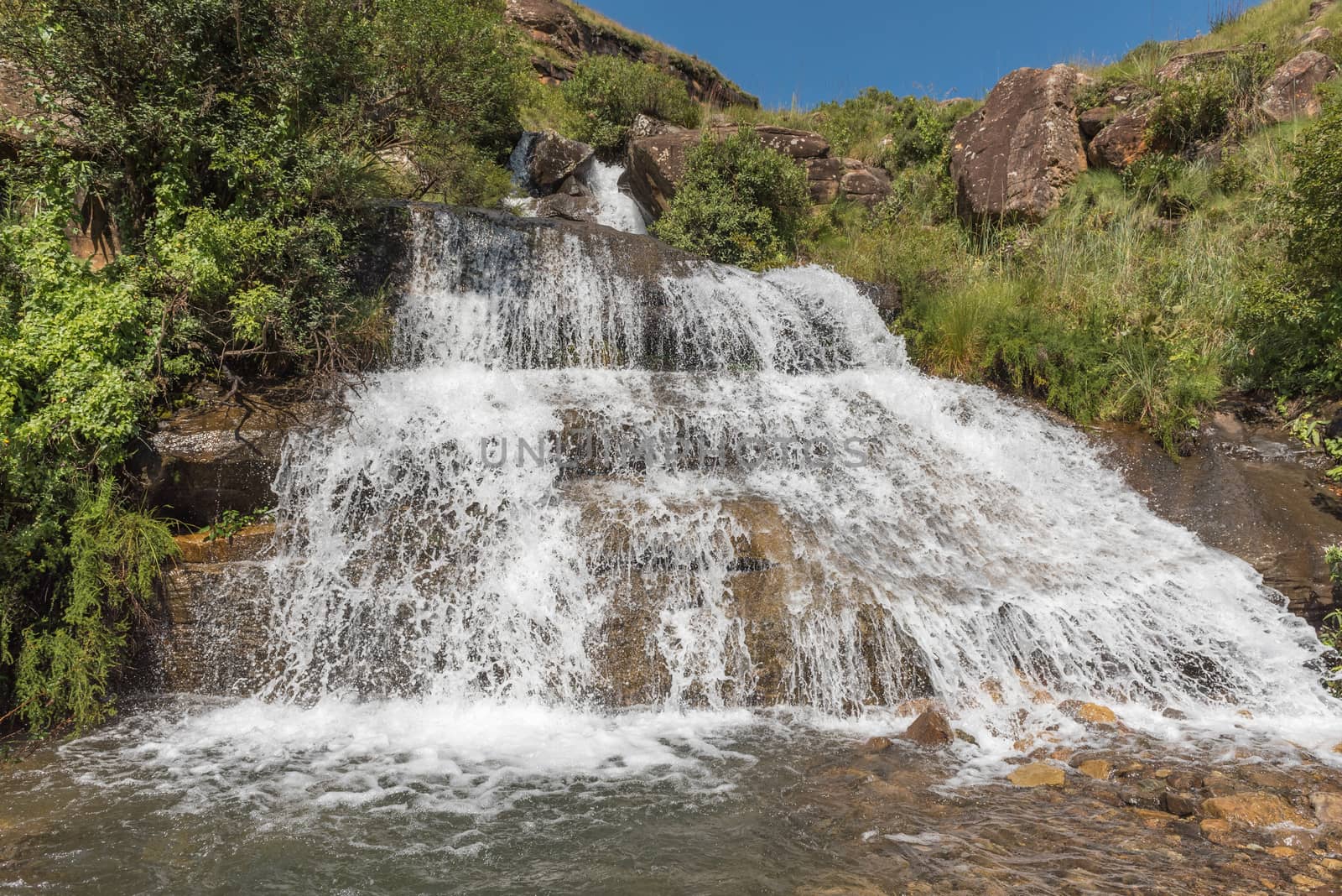
Waterfall next to the Sani Pass
Stock PhotoUsername
dpreezgResolution
3595x2400pxWaterfall next to the Sani Pass

Unnamed waterfall as seen from the Sani Pass
Stock PhotoUsername
dpreezgResolution
2400x3595pxUnnamed waterfall as seen from the Sani Pass
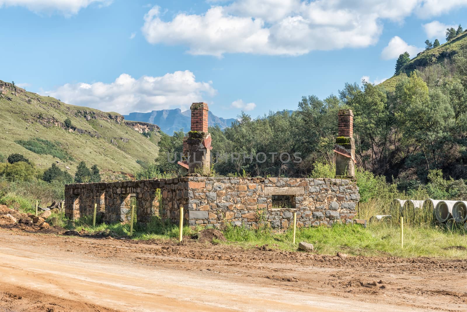
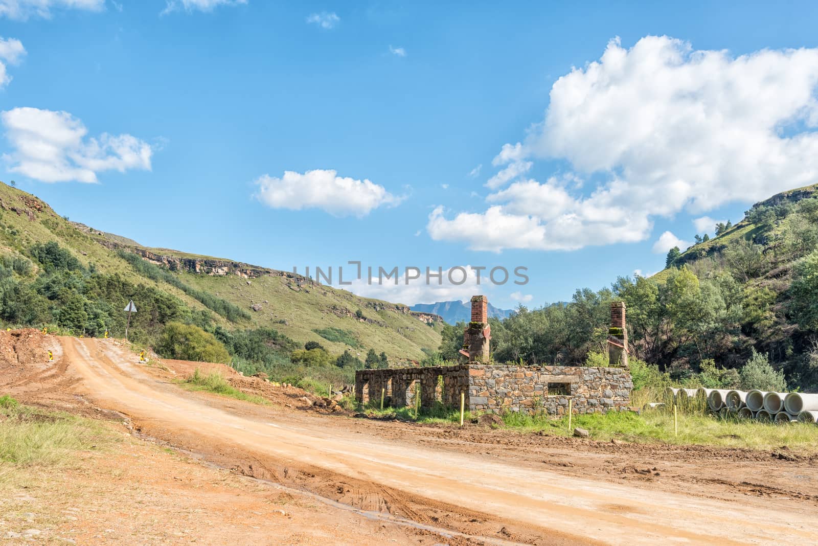
Ruin of historic trading post on the Sani Pass road
Stock PhotoUsername
dpreezgResolution
3595x2400pxRuin of historic trading post on the Sani Pass road
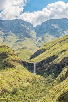
Waterfall on the road to the Sani Pass border post
Stock PhotoUsername
dpreezgResolution
3595x2400pxWaterfall on the road to the Sani Pass border post

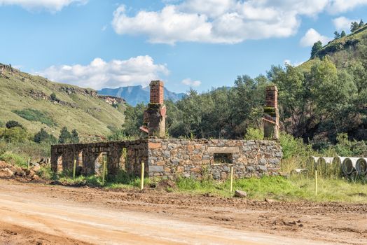
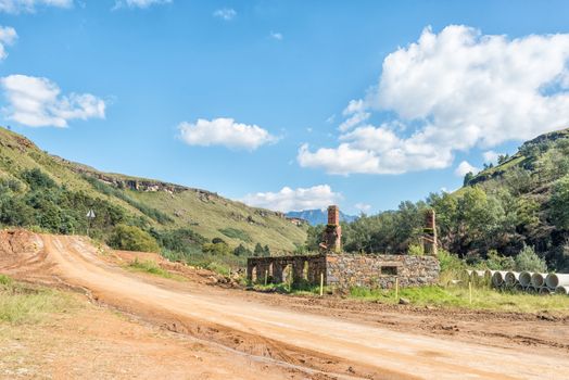
Ruin of historic trading post on the Sani Pass road
Stock PhotoUsername
dpreezgResolution
3595x2400pxRuin of historic trading post on the Sani Pass road

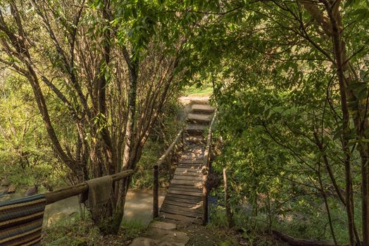
Pedestrian bridge at the Sani Backpackers Lodge near Himeville
Stock PhotoUsername
dpreezgResolution
3595x2400pxPedestrian bridge at the Sani Backpackers Lodge near Himeville

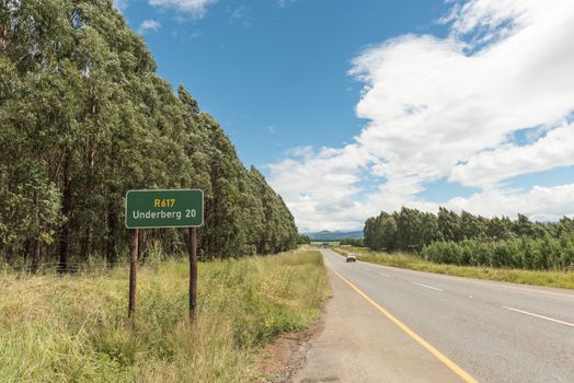
Landscape on road R617 near Underberg in Kwazulu-Natal
Stock PhotoUsername
dpreezgResolution
3595x2400pxLandscape on road R617 near Underberg in Kwazulu-Natal

Nkumba township between Boston and Bulwer in Kwazulu-Natal
Stock PhotoUsername
dpreezgResolution
3595x2400pxNkumba township between Boston and Bulwer in Kwazulu-Natal
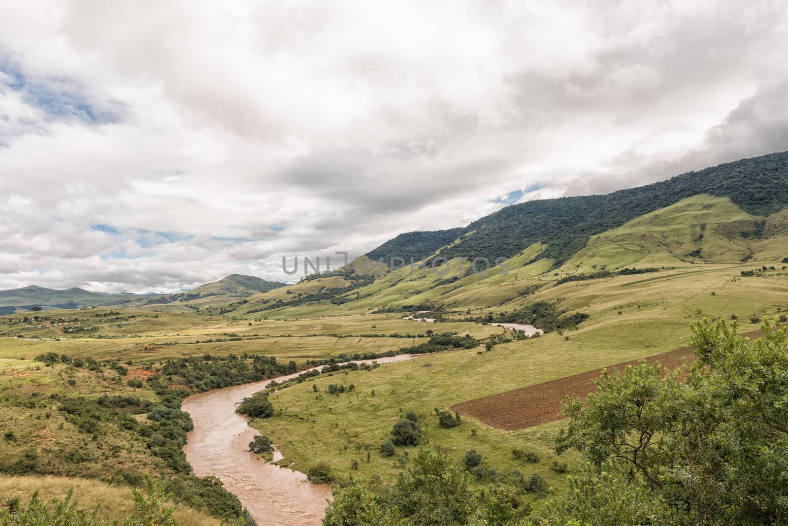
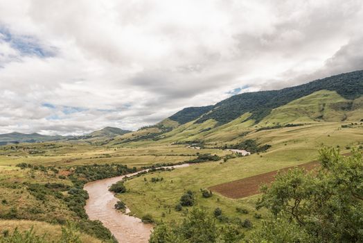
The Mkomazi River between Boston and Bulwer in Kwazulu-Natal
Stock PhotoUsername
dpreezgResolution
3595x2400pxThe Mkomazi River between Boston and Bulwer in Kwazulu-Natal

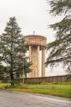
Water reservoir tower in Howick
Stock PhotoUsername
dpreezgResolution
2400x3595pxWater reservoir tower in Howick
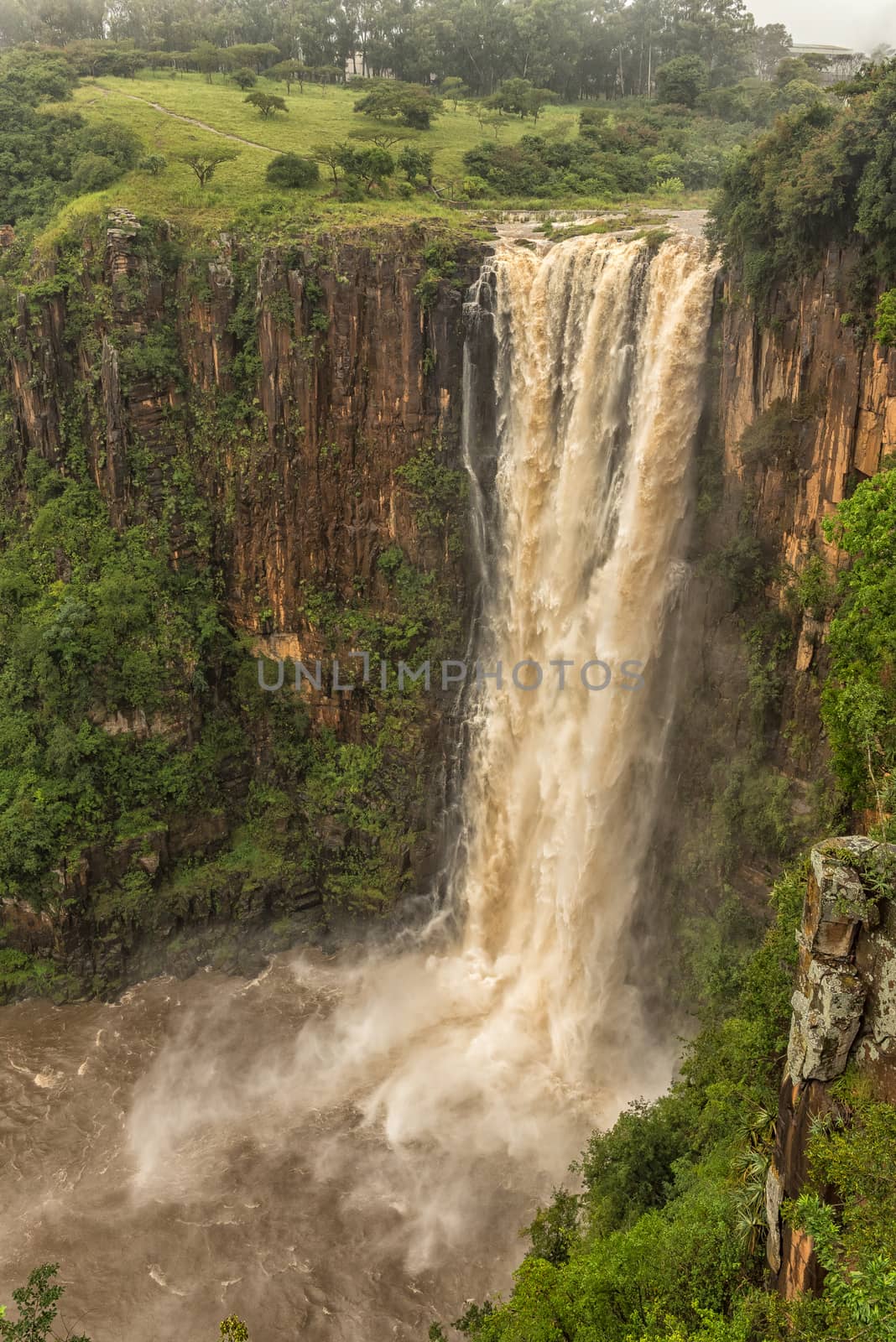
Flooded Umgeni River plunges 95 m down the Howick Falls
Stock PhotoUsername
dpreezgResolution
2400x3595pxFlooded Umgeni River plunges 95 m down the Howick Falls
