- Filter By:
-
-
Stock photos and images of username:dpreezg

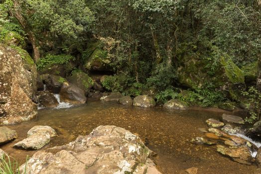
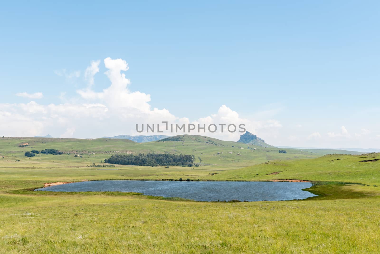
Pond in the Gudu forest
Stock PhotoUsername
dpreezgResolution
3595x2400pxPond in the Gudu forest
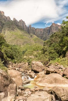
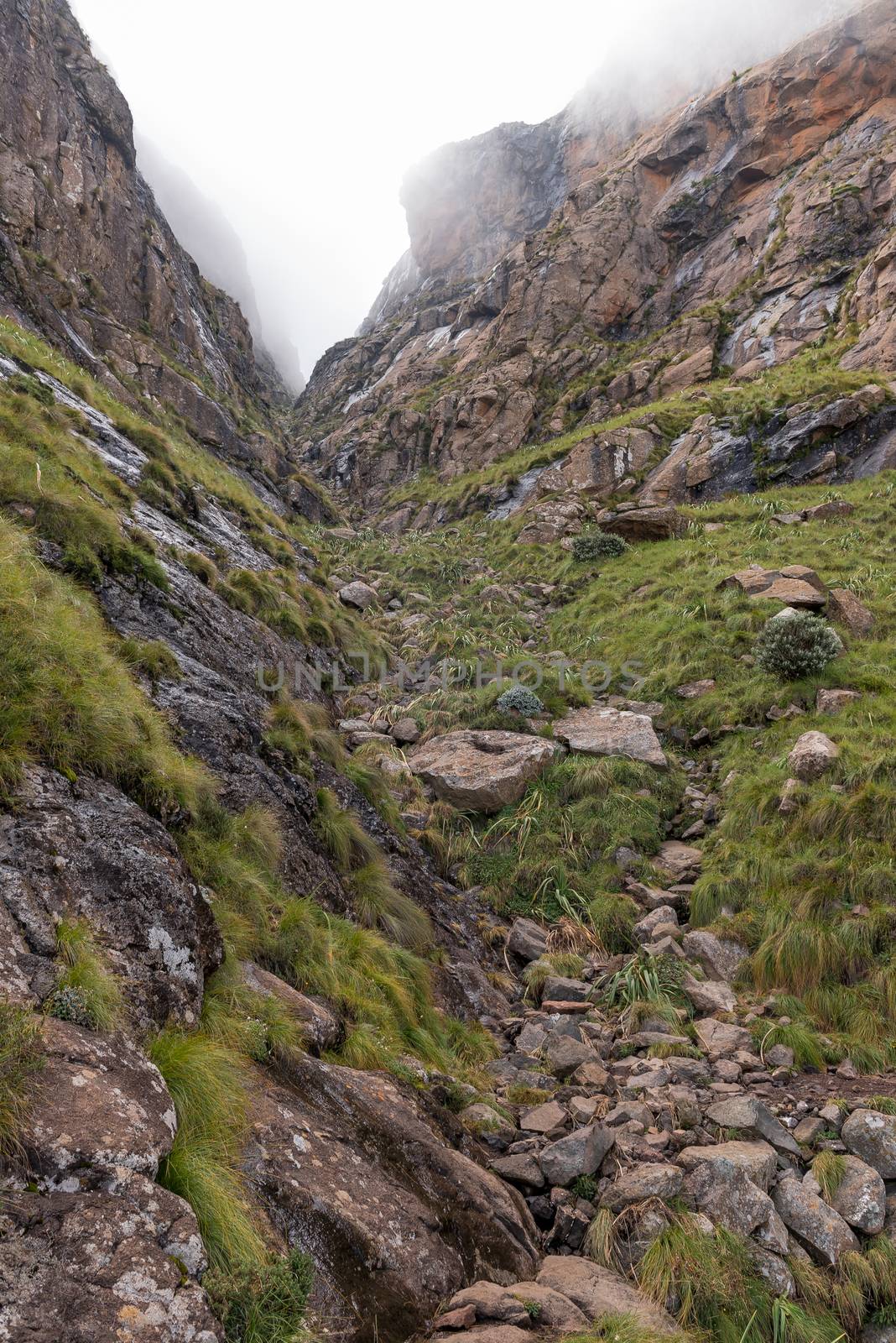
Mudslide trail above Mahai ascends tree-lined gully in middle
Stock PhotoUsername
dpreezgResolution
3595x2400pxMudslide trail above Mahai ascends tree-lined gully in middle
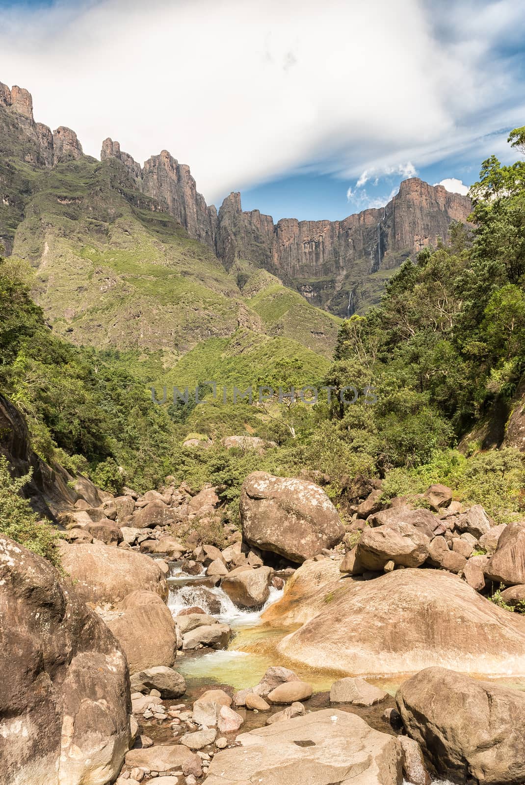
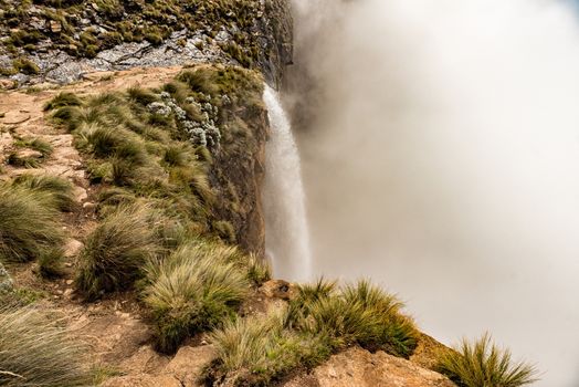
Tugela Falls, at 948m, the 2nd tallest waterfall on earth
Stock PhotoUsername
dpreezgResolution
2100x3141pxTugela Falls, at 948m, the 2nd tallest waterfall on earth

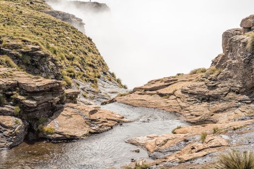
Tugela River flows through the Tugela Tunnel
Stock PhotoUsername
dpreezgResolution
2100x3146pxTugela River flows through the Tugela Tunnel


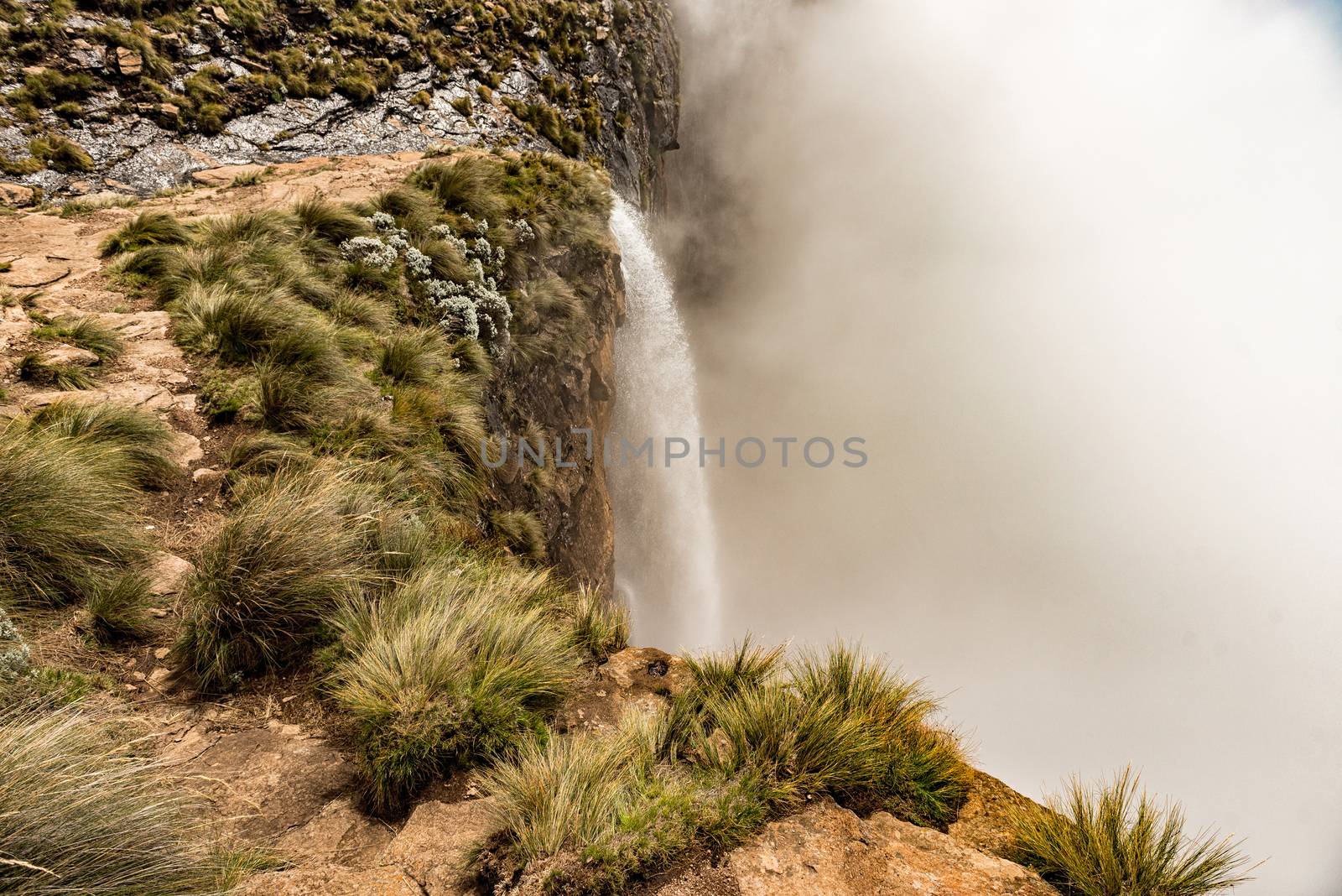
Tugela Falls, at 948m, the 2nd tallest waterfall on earth
Stock PhotoUsername
dpreezgResolution
3595x2400pxTugela Falls, at 948m, the 2nd tallest waterfall on earth


Tugela River and the wall of the Amphitheatre
Stock PhotoUsername
dpreezgResolution
2100x3146pxTugela River and the wall of the Amphitheatre


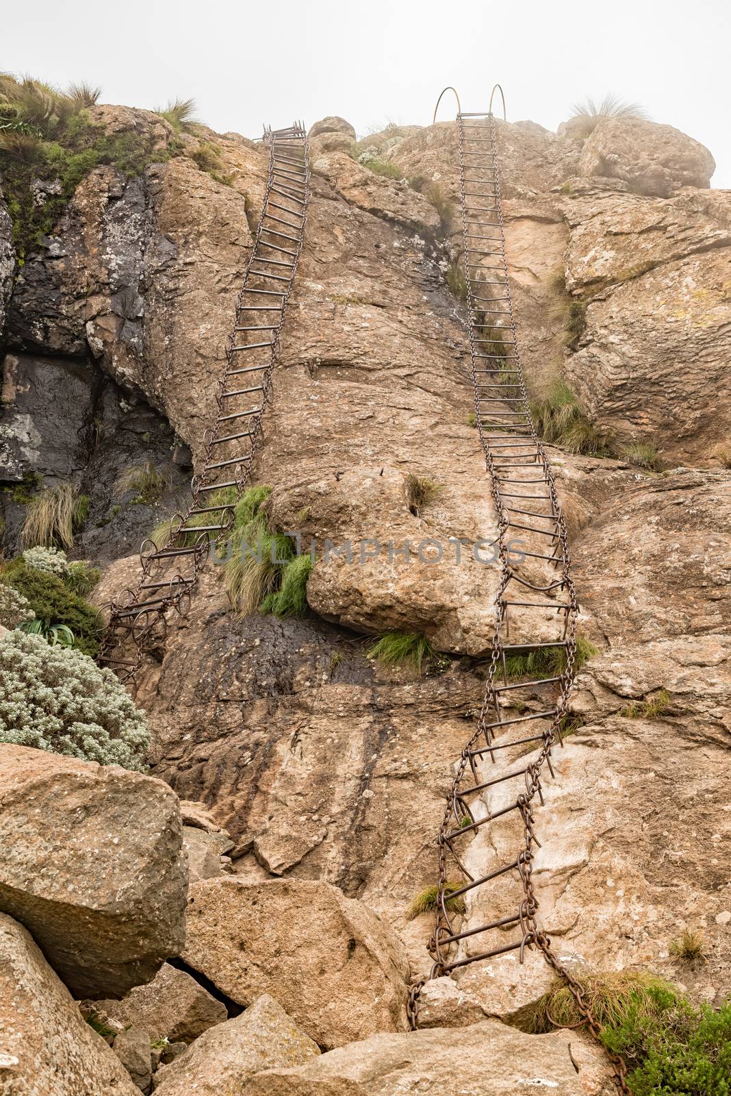
Chain ladder used by hikers to bypass the Tugela Tunnel
Stock PhotoUsername
dpreezgResolution
2400x3595pxChain ladder used by hikers to bypass the Tugela Tunnel


Forest on the Tugela Gorge hiking trail
Stock PhotoUsername
dpreezgResolution
3595x2400pxForest on the Tugela Gorge hiking trail


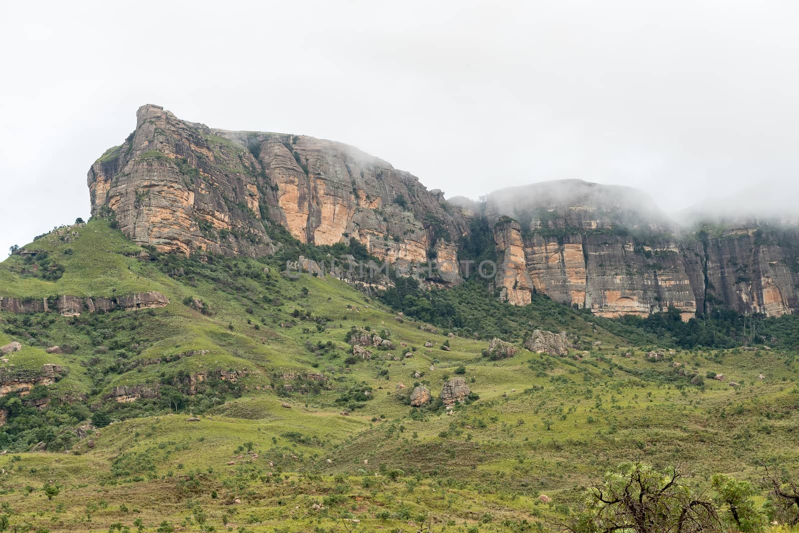
Tugela Gorge and tunnel in the Kwazulu-Natal Drakensberg
Stock PhotoUsername
dpreezgResolution
2100x3146pxTugela Gorge and tunnel in the Kwazulu-Natal Drakensberg


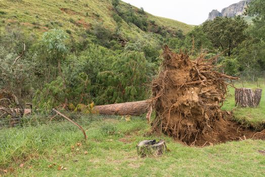
Exposed roots of huge pine tree toppled by strong winds
Stock PhotoUsername
dpreezgResolution
3595x2400pxExposed roots of huge pine tree toppled by strong winds

Bridge over Vemvaan River on the Tugela Gorge hiking trail
Stock PhotoUsername
dpreezgResolution
3595x2400pxBridge over Vemvaan River on the Tugela Gorge hiking trail


Bench on the hiking trail to the Cascades
Stock PhotoUsername
dpreezgResolution
2400x3595pxBench on the hiking trail to the Cascades


Bridge on the hiking trail to the Cascades
Stock PhotoUsername
dpreezgResolution
2400x3595pxBridge on the hiking trail to the Cascades


Bridge on the hiking trail to the Cascades
Stock PhotoUsername
dpreezgResolution
3146x2100pxBridge on the hiking trail to the Cascades


Hiking trail to the Cascades near Mahai
Stock PhotoUsername
dpreezgResolution
3595x2400pxHiking trail to the Cascades near Mahai


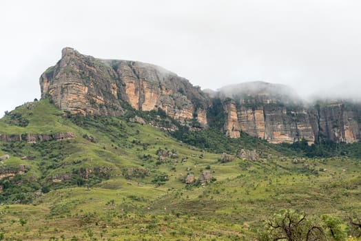
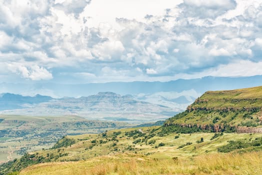
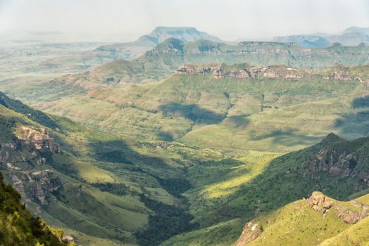
View of the Amphitheatre in the Kwazulu-Natal Drakensberg
Stock PhotoUsername
dpreezgResolution
3595x2400pxView of the Amphitheatre in the Kwazulu-Natal Drakensberg


View from the top of Oliviershoek Pass into Kwazulu-Natal
Stock PhotoUsername
dpreezgResolution
3146x2100pxView from the top of Oliviershoek Pass into Kwazulu-Natal

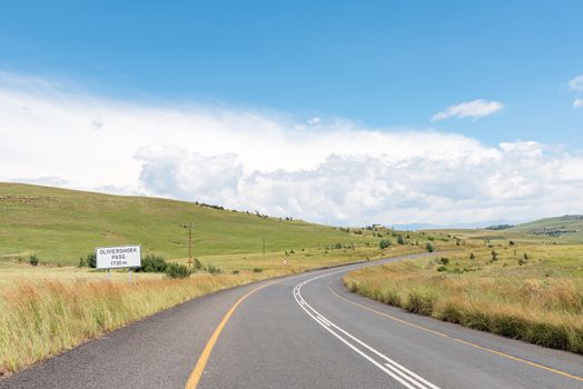
Start of the Oliviershoek Pass in the Drakensberg
Stock PhotoUsername
dpreezgResolution
3595x2400pxStart of the Oliviershoek Pass in the Drakensberg

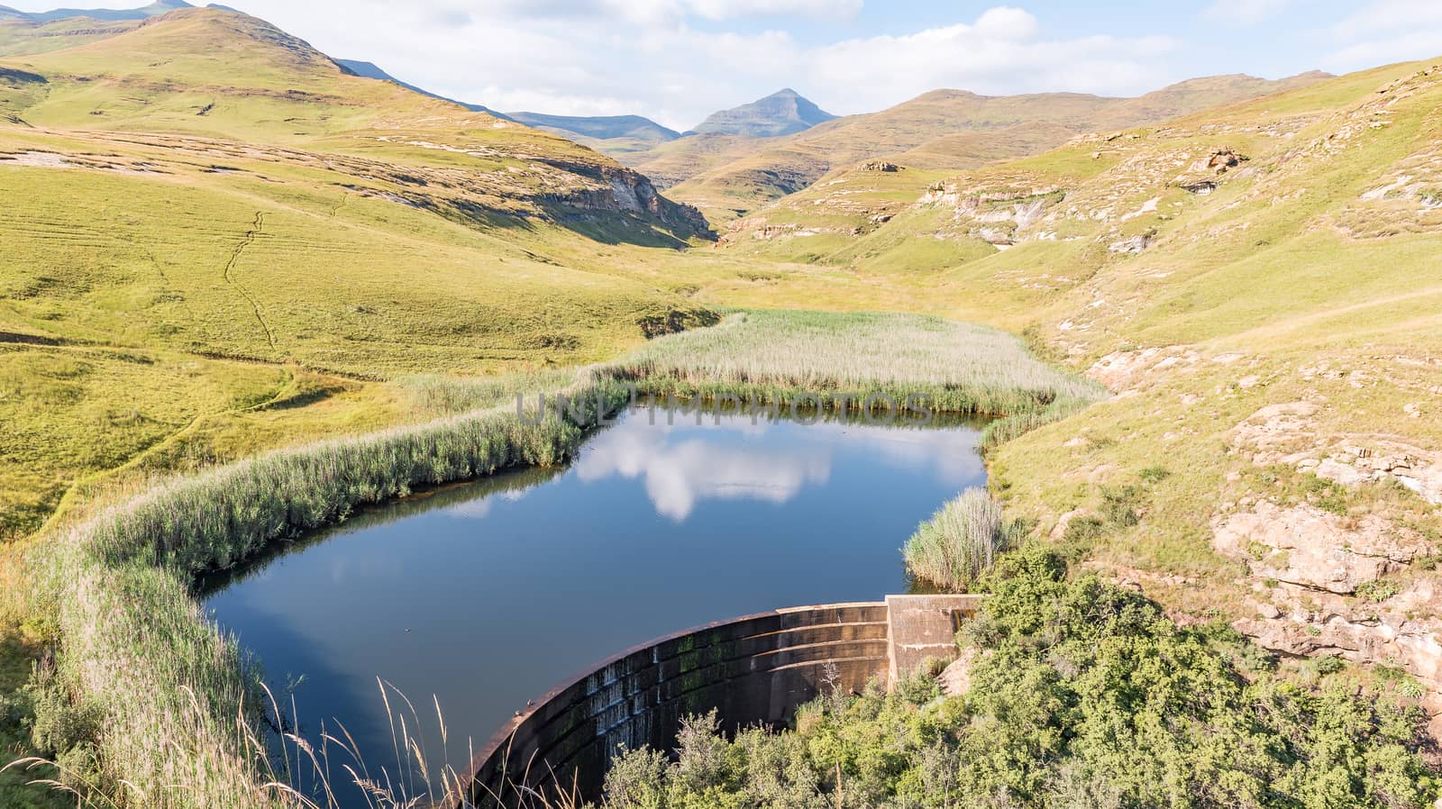
Inlet of the Vaal - Tugela water scheme the Driekloof dam
Stock PhotoUsername
dpreezgResolution
3146x2100pxInlet of the Vaal - Tugela water scheme the Driekloof dam

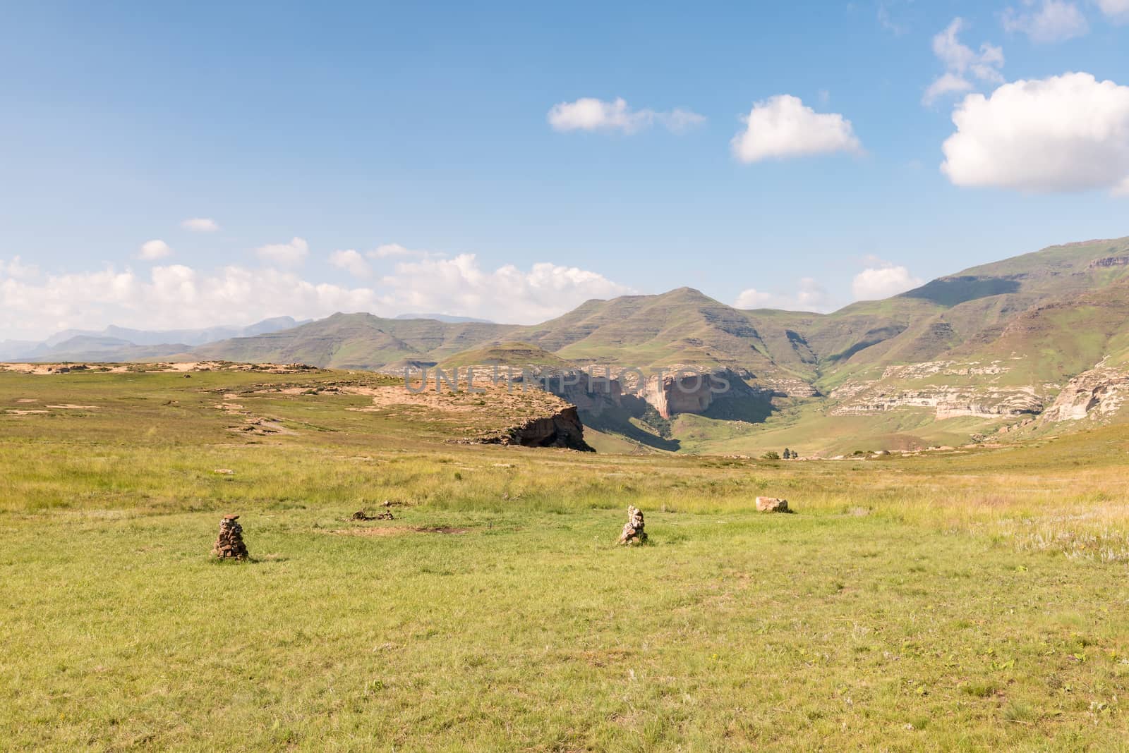
Landscape on road to Kaalvoet Vrou monument at Retief Pass
Stock PhotoUsername
dpreezgResolution
3595x2400pxLandscape on road to Kaalvoet Vrou monument at Retief Pass

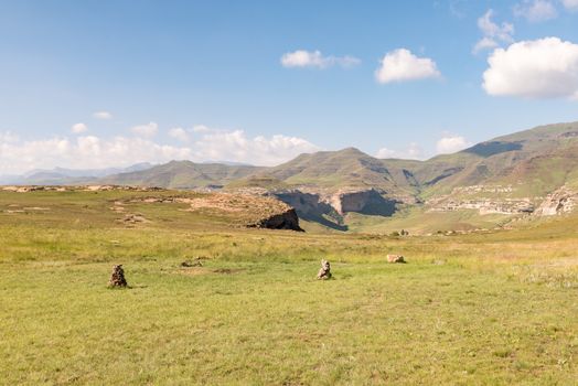
Road to Retiefklip at Kerkenberg
Stock PhotoUsername
dpreezgResolution
3146x2100pxRoad to Retiefklip at Kerkenberg

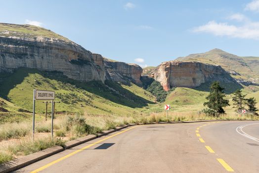
Dolerite Dyke at Golden Gate
Stock PhotoUsername
dpreezgResolution
3595x2400pxDolerite Dyke at Golden Gate
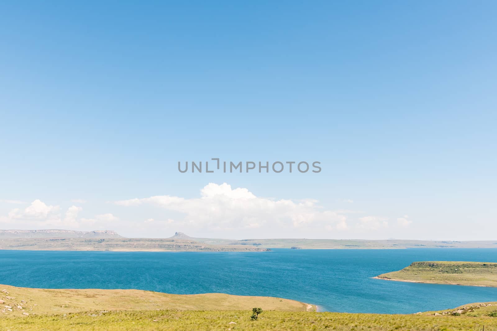
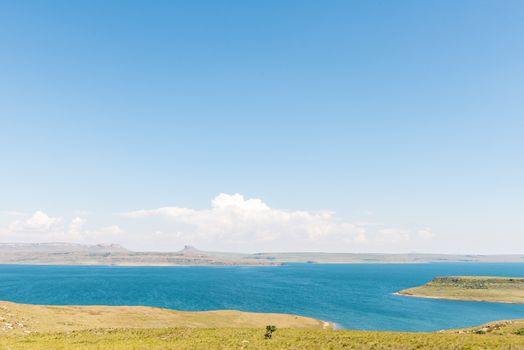
Sterkfontein Dam in the Free State Province
Stock PhotoUsername
dpreezgResolution
3595x2400pxSterkfontein Dam in the Free State Province
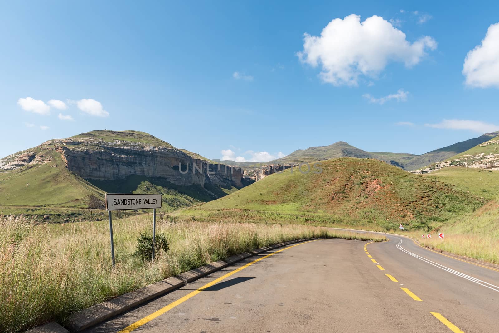
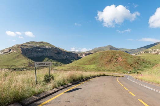
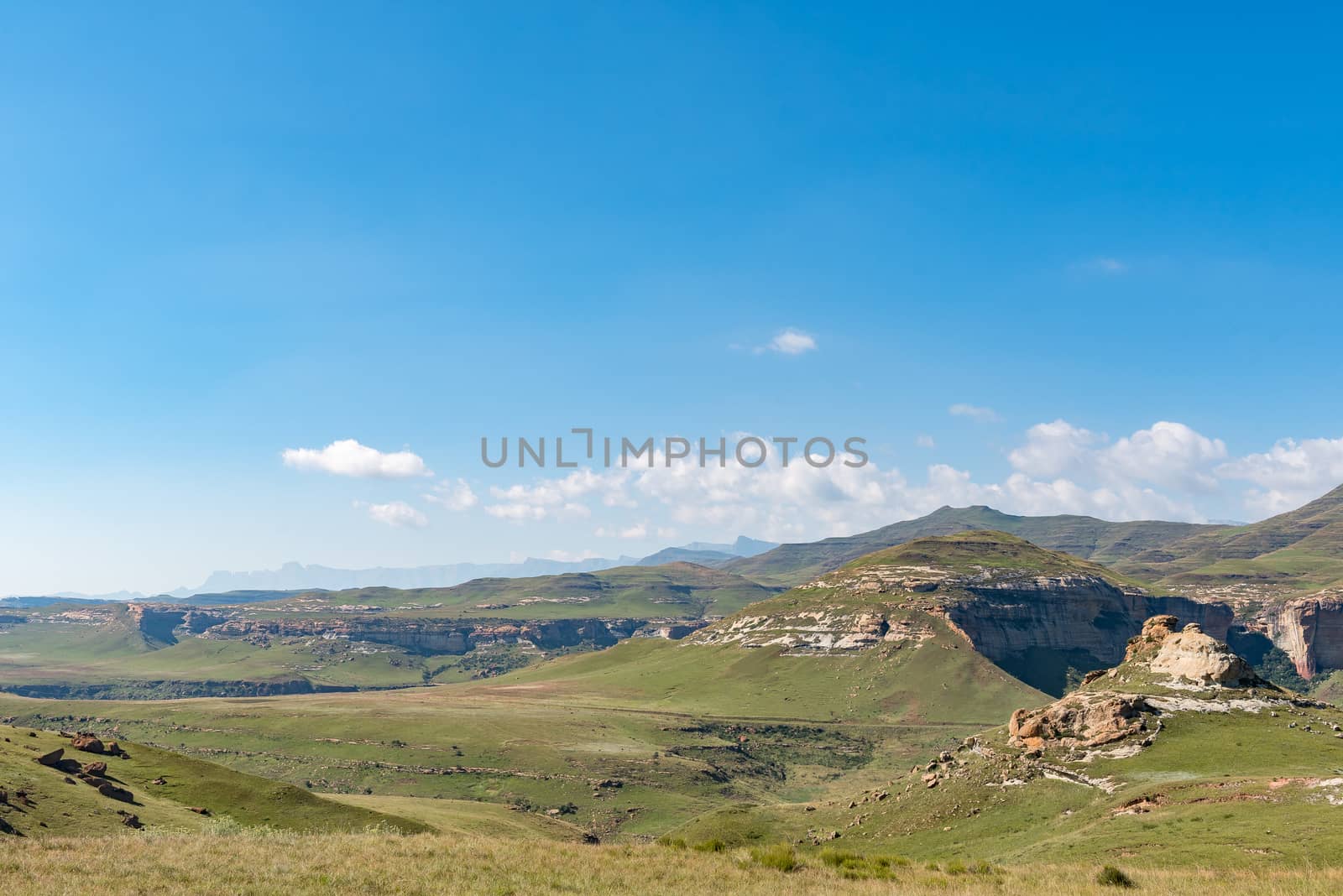
Sandstone Valley in Golden Gate
Stock PhotoUsername
dpreezgResolution
3595x2400pxSandstone Valley in Golden Gate
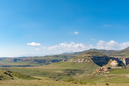
View from Golden Gate with Amphitheatre in the Drakensberg visib
Stock PhotoUsername
dpreezgResolution
3595x2400pxView from Golden Gate with Amphitheatre in the Drakensberg visib
View from vulture hide in Golden Gate
Stock PhotoUsername
dpreezgResolution
3595x2400pxView from vulture hide in Golden Gate
Langtoon dam in Golden Gate
Stock PhotoUsername
dpreezgResolution
4277x2400pxLangtoon dam in Golden Gate

Road to Langtoon dam at Golden Gate
Stock PhotoUsername
dpreezgResolution
3595x2400pxRoad to Langtoon dam at Golden Gate
Sentinel Trail to the Tugela Falls in the Drakensberg
Stock PhotoUsername
dpreezgResolution
3146x2100pxSentinel Trail to the Tugela Falls in the Drakensberg

Brandwag and Mushroom Rock, two sandstone buttresses at Golden G
Stock PhotoUsername
dpreezgResolution
3161x2100pxBrandwag and Mushroom Rock, two sandstone buttresses at Golden G


Black wildebeest laying in grass
Stock PhotoUsername
dpreezgResolution
3613x2400pxBlack wildebeest laying in grass


Two Burchells zebras, Equus quagga burchellii, interacting
Stock PhotoUsername
dpreezgResolution
3613x2400pxTwo Burchells zebras, Equus quagga burchellii, interacting


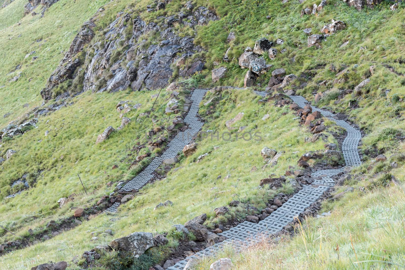
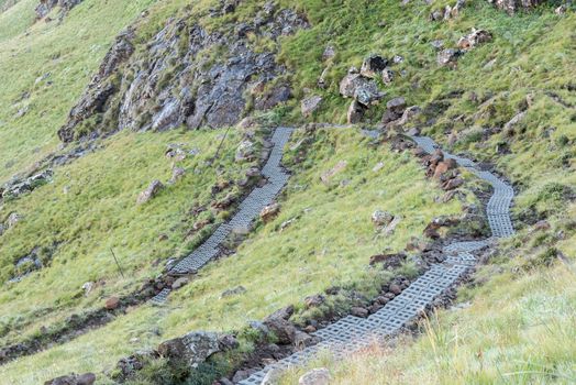
Chainladders on Sentinel Trail in far gully, left
Stock PhotoUsername
dpreezgResolution
3161x2100pxChainladders on Sentinel Trail in far gully, left


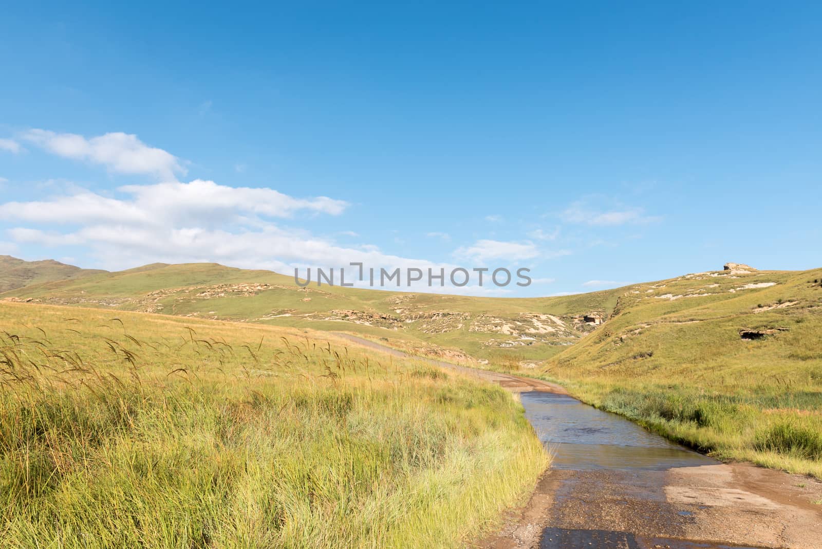
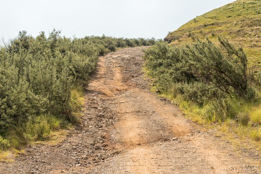
Road to the car park at start of Sentinel Trail
Stock PhotoUsername
dpreezgResolution
3146x2100pxRoad to the car park at start of Sentinel Trail

Tendele Camp at the start of the Tugela Gorge Trail
Stock PhotoUsername
dpreezgResolution
3595x2400pxTendele Camp at the start of the Tugela Gorge Trail
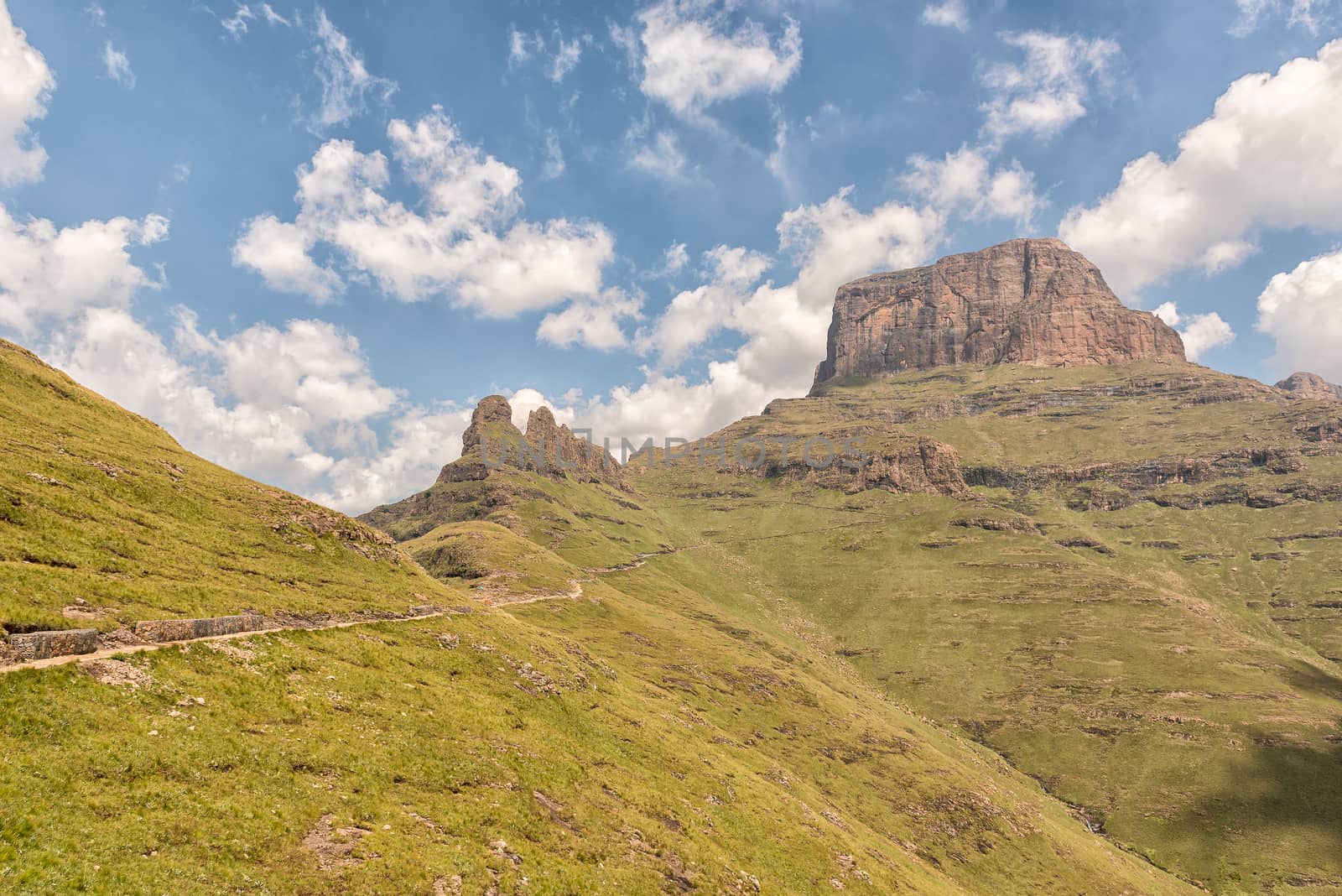
Sentinel Trail to the Tugela Falls in the Drakensberg
Stock PhotoUsername
dpreezgResolution
3595x2400pxSentinel Trail to the Tugela Falls in the Drakensberg

Sentinel Trail to the Tugela Falls in the Drakensberg
Stock PhotoUsername
dpreezgResolution
3595x2400pxSentinel Trail to the Tugela Falls in the Drakensberg

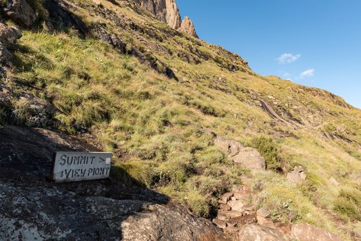
Directional sign board on the Sentinel Trail to Tugela Falls
Stock PhotoUsername
dpreezgResolution
3595x2400pxDirectional sign board on the Sentinel Trail to Tugela Falls

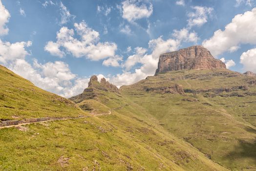
Sentinel Trail to the Tugela Falls in the Drakensberg
Stock PhotoUsername
dpreezgResolution
3595x2400pxSentinel Trail to the Tugela Falls in the Drakensberg


Sentinel Trail to the Tugela Falls in the Drakensberg
Stock PhotoUsername
dpreezgResolution
3595x2400pxSentinel Trail to the Tugela Falls in the Drakensberg


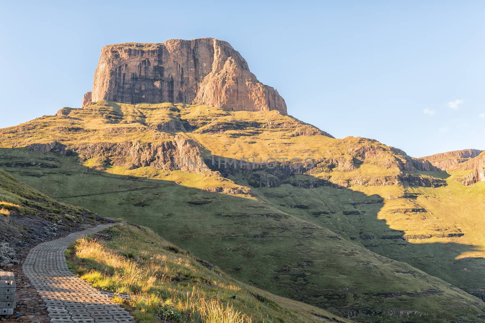
View from road to Sentinel car park towards Policemans Helmet
Stock PhotoUsername
dpreezgResolution
3595x2400pxView from road to Sentinel car park towards Policemans Helmet


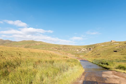
Sunrise on the road to the Sentinel car park
Stock PhotoUsername
dpreezgResolution
3595x2400pxSunrise on the road to the Sentinel car park


Chainladders on Sentinel Trail in far gully, left
Stock PhotoUsername
dpreezgResolution
3161x2100pxChainladders on Sentinel Trail in far gully, left

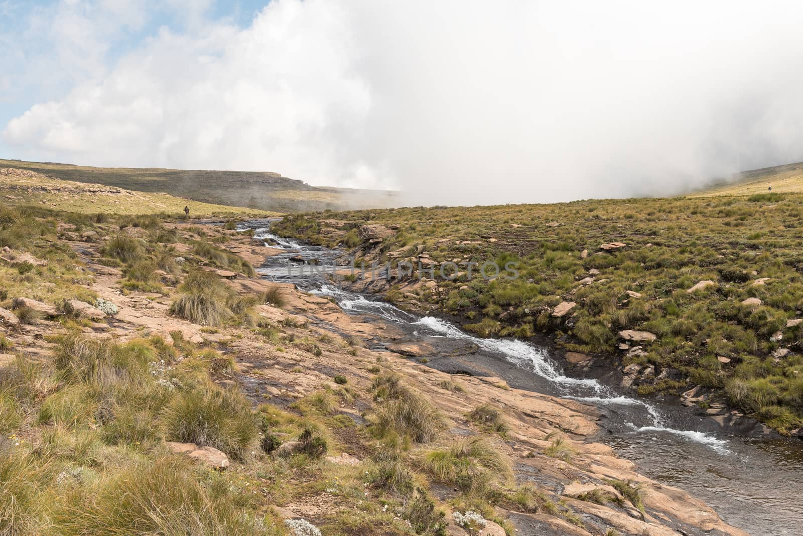
Tugela River, above Tugela Falls, second tallest waterfall on ea
Stock PhotoUsername
dpreezgResolution
3595x2400pxTugela River, above Tugela Falls, second tallest waterfall on ea

Top of Tugela Falls, the second tallest waterfall on earth
Stock PhotoUsername
dpreezgResolution
3596x2400pxTop of Tugela Falls, the second tallest waterfall on earth
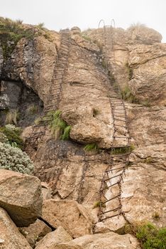
Top set of chain ladders to top of Amphitheater
Stock PhotoUsername
dpreezgResolution
2700x4044pxTop set of chain ladders to top of Amphitheater

Top of Tugela Falls, the second tallest waterfall on earth
Stock PhotoUsername
dpreezgResolution
3596x2400pxTop of Tugela Falls, the second tallest waterfall on earth
The Gully on Sentinel Trail to the Tugela Falls
Stock PhotoUsername
dpreezgResolution
2400x3595pxThe Gully on Sentinel Trail to the Tugela Falls


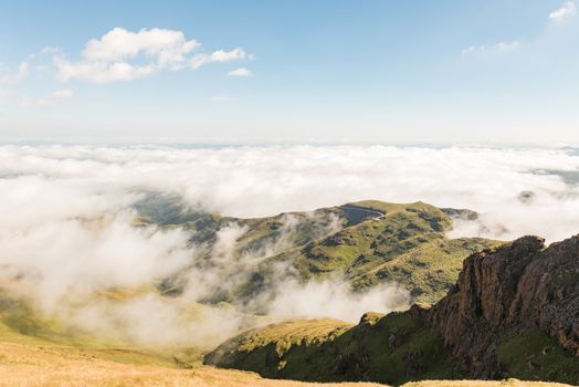
Sentinel Trail to the Tugela Falls in the Drakensberg
Stock PhotoUsername
dpreezgResolution
3595x2400pxSentinel Trail to the Tugela Falls in the Drakensberg

Sentinel Trail to the Tugela Falls in the Drakensberg
Stock PhotoUsername
dpreezgResolution
3595x2400pxSentinel Trail to the Tugela Falls in the Drakensberg
