- Filter By:
-
-
Stock photos and images of username:dpreezg

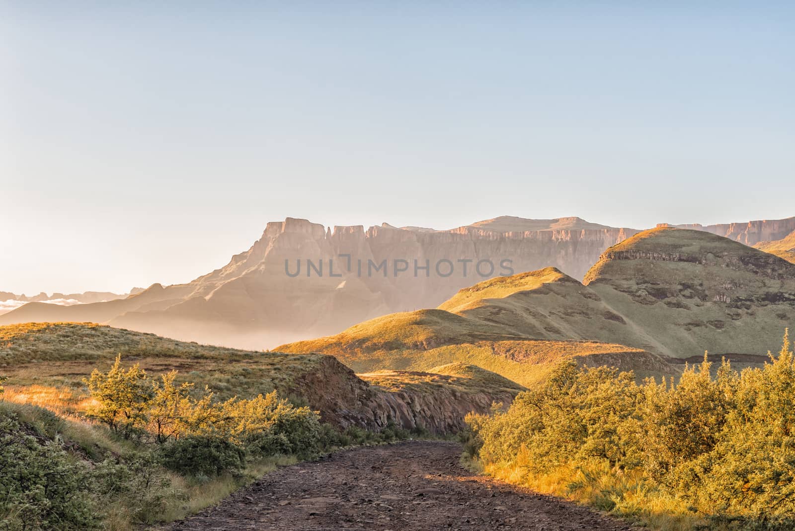
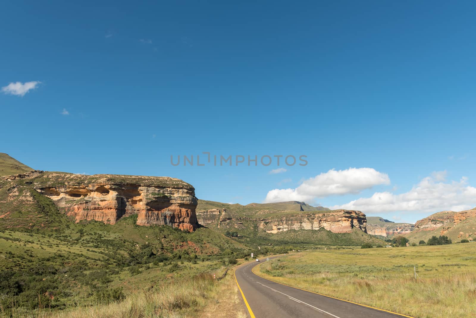
Sunrise on the road to the Sentinel car park
Stock PhotoUsername
dpreezgResolution
4045x2700pxSunrise on the road to the Sentinel car park

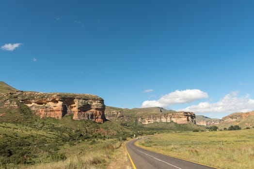
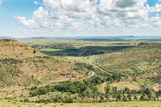
Sunrise over amphitheatre and road to the Sentinel car park
Stock PhotoUsername
dpreezgResolution
4045x2700pxSunrise over amphitheatre and road to the Sentinel car park

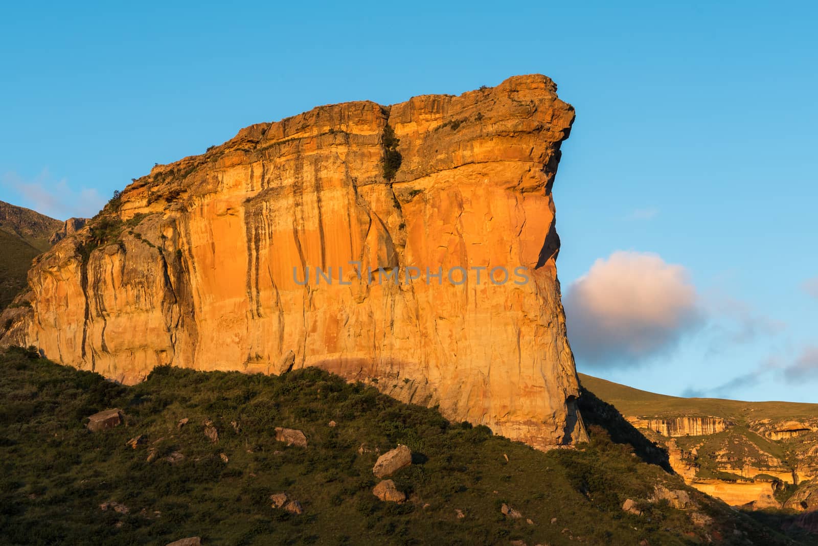
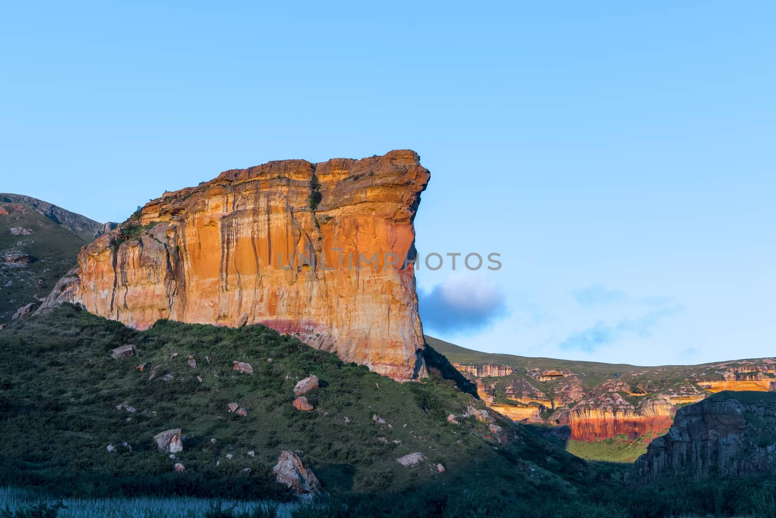
Brandwag (sentinel), a sandstone cliff during sunset at Golden G
Stock PhotoUsername
dpreezgResolution
3595x2400pxBrandwag (sentinel), a sandstone cliff during sunset at Golden G

Start of trail to top of Brandwag at hotel side
Stock PhotoUsername
dpreezgResolution
3595x2400pxStart of trail to top of Brandwag at hotel side


Trail down from the Brandwag (sentinel) at the hotel side
Stock PhotoUsername
dpreezgResolution
3595x2400pxTrail down from the Brandwag (sentinel) at the hotel side


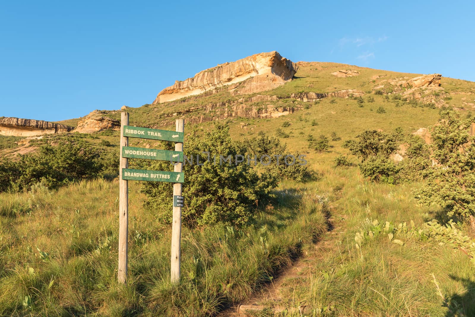
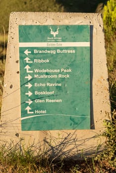
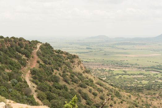
Directional sign for trails at Golden Gate
Stock PhotoUsername
dpreezgResolution
2100x3146pxDirectional sign for trails at Golden Gate
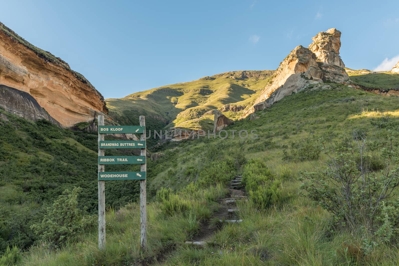
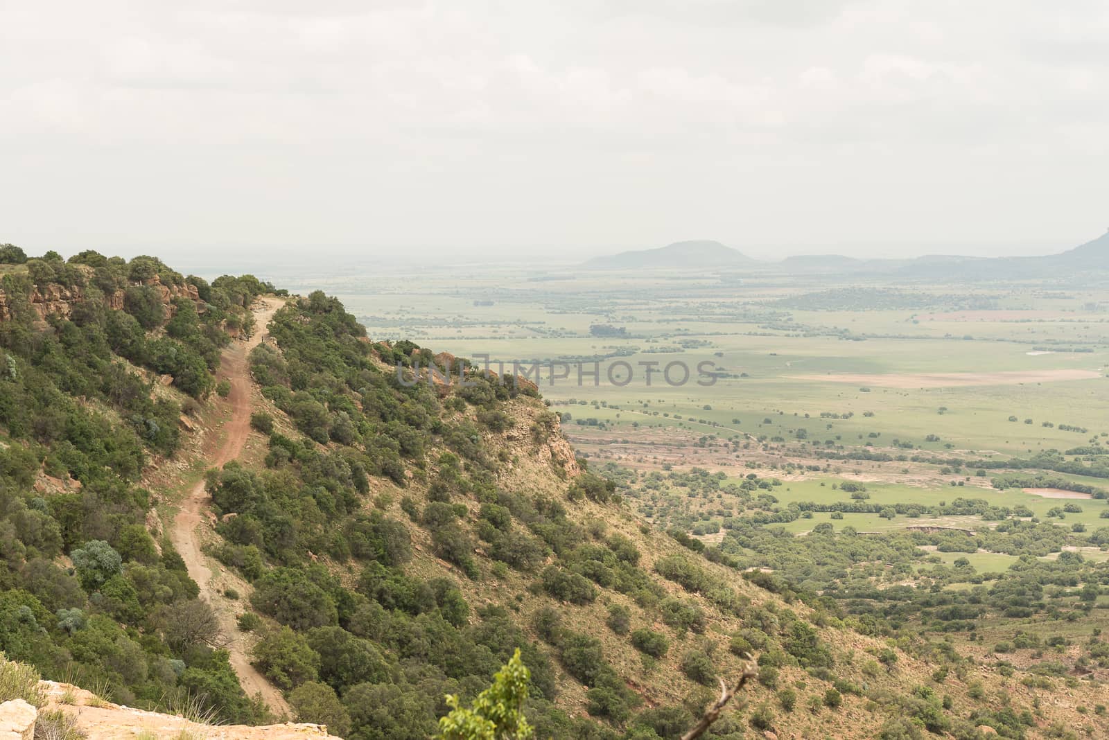
Trail and directional sign in the mountains at Golden Gate
Stock PhotoUsername
dpreezgResolution
3595x2400pxTrail and directional sign in the mountains at Golden Gate

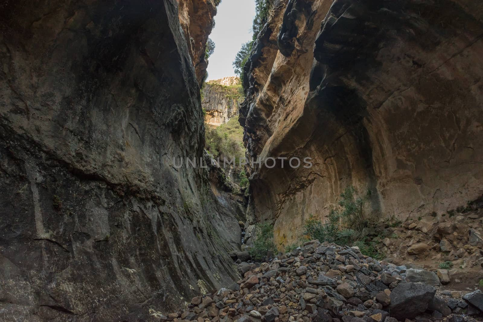
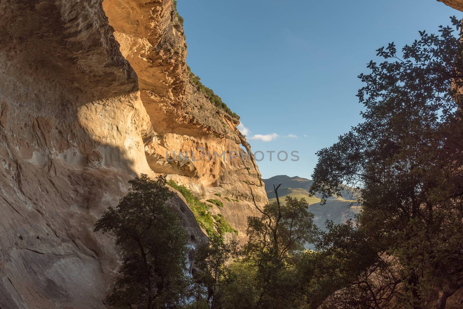
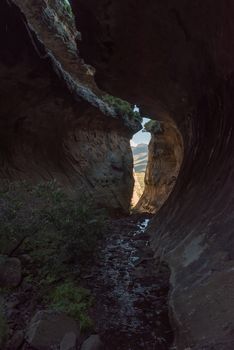
Echo Ravine at Golden Gate in the Free State Province
Stock PhotoUsername
dpreezgResolution
3595x2400pxEcho Ravine at Golden Gate in the Free State Province
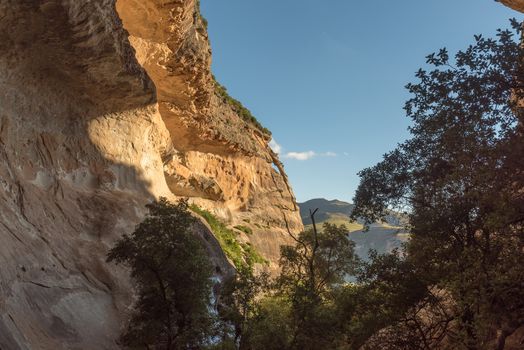
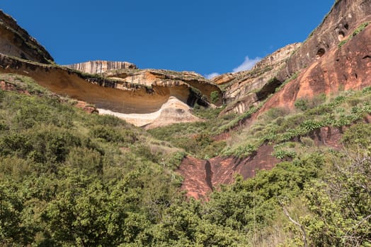
View from Echo Ravine, Golden Gate, Free State Province
Stock PhotoUsername
dpreezgResolution
3595x2400pxView from Echo Ravine, Golden Gate, Free State Province
Brandwag (sentinel), a sandstone cliff during sunset at Golden G
Stock PhotoUsername
dpreezgResolution
3595x2400pxBrandwag (sentinel), a sandstone cliff during sunset at Golden G

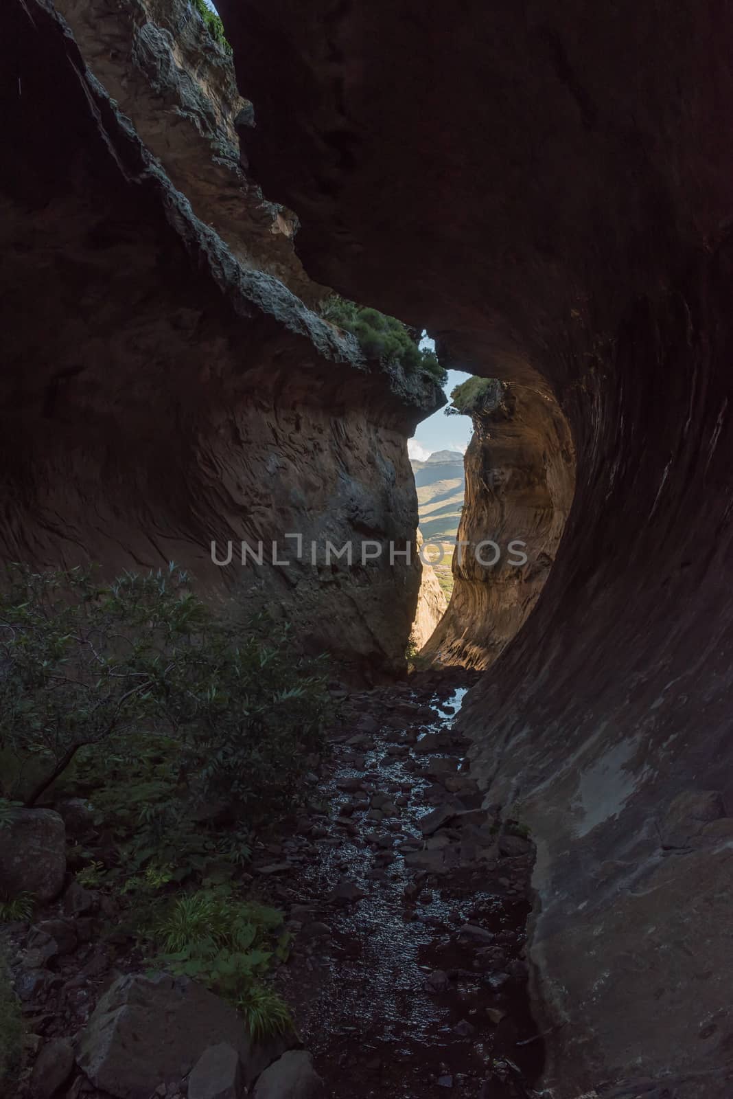
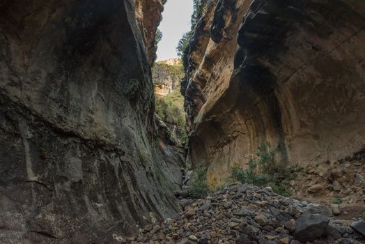
Echo Ravine at Golden Gate in the Free State Province
Stock PhotoUsername
dpreezgResolution
2100x3146pxEcho Ravine at Golden Gate in the Free State Province
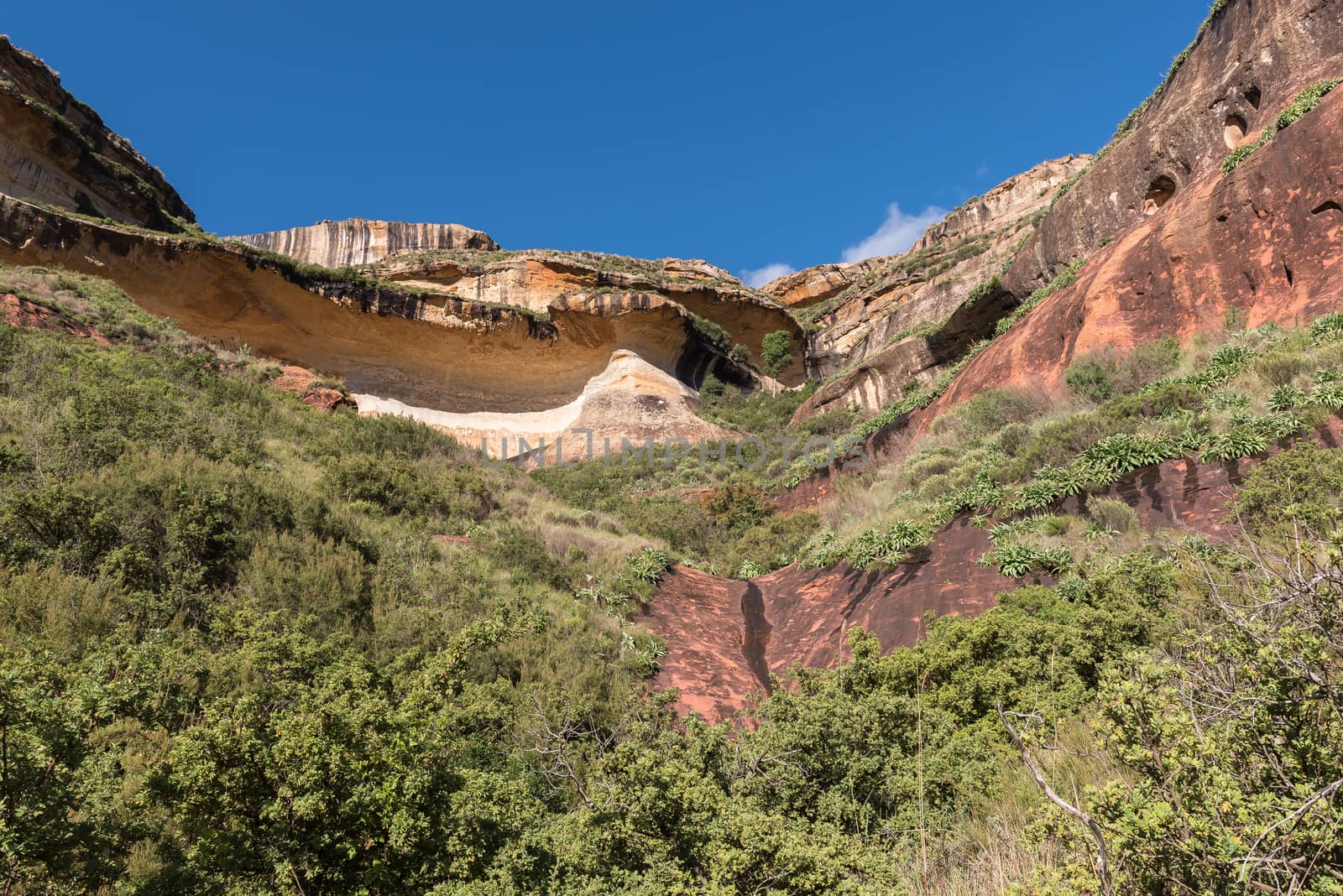
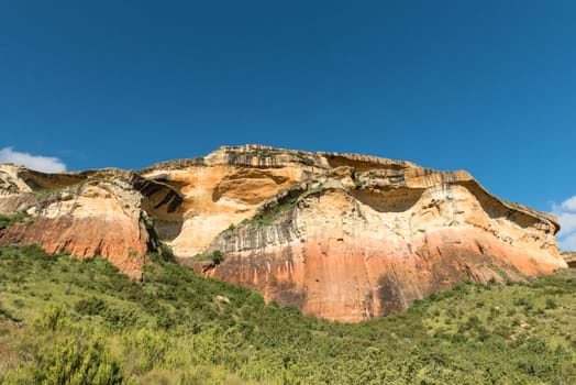
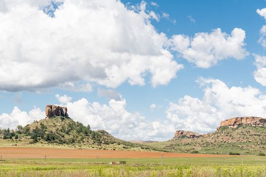
Multi-colored sandstone cliffs at Golden Gate
Stock PhotoUsername
dpreezgResolution
3595x2400pxMulti-colored sandstone cliffs at Golden Gate

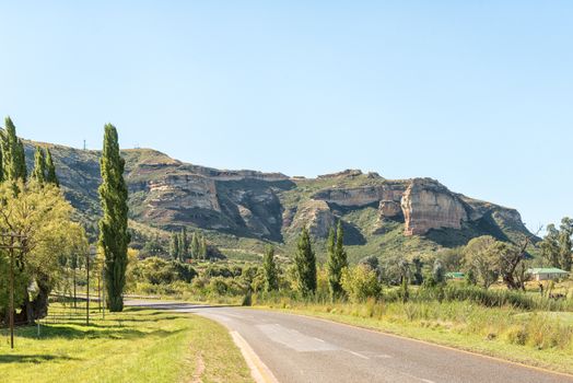
Lichens Pass and the Brandwag (sentinel) in Golden Gate
Stock PhotoUsername
dpreezgResolution
3595x2400pxLichens Pass and the Brandwag (sentinel) in Golden Gate

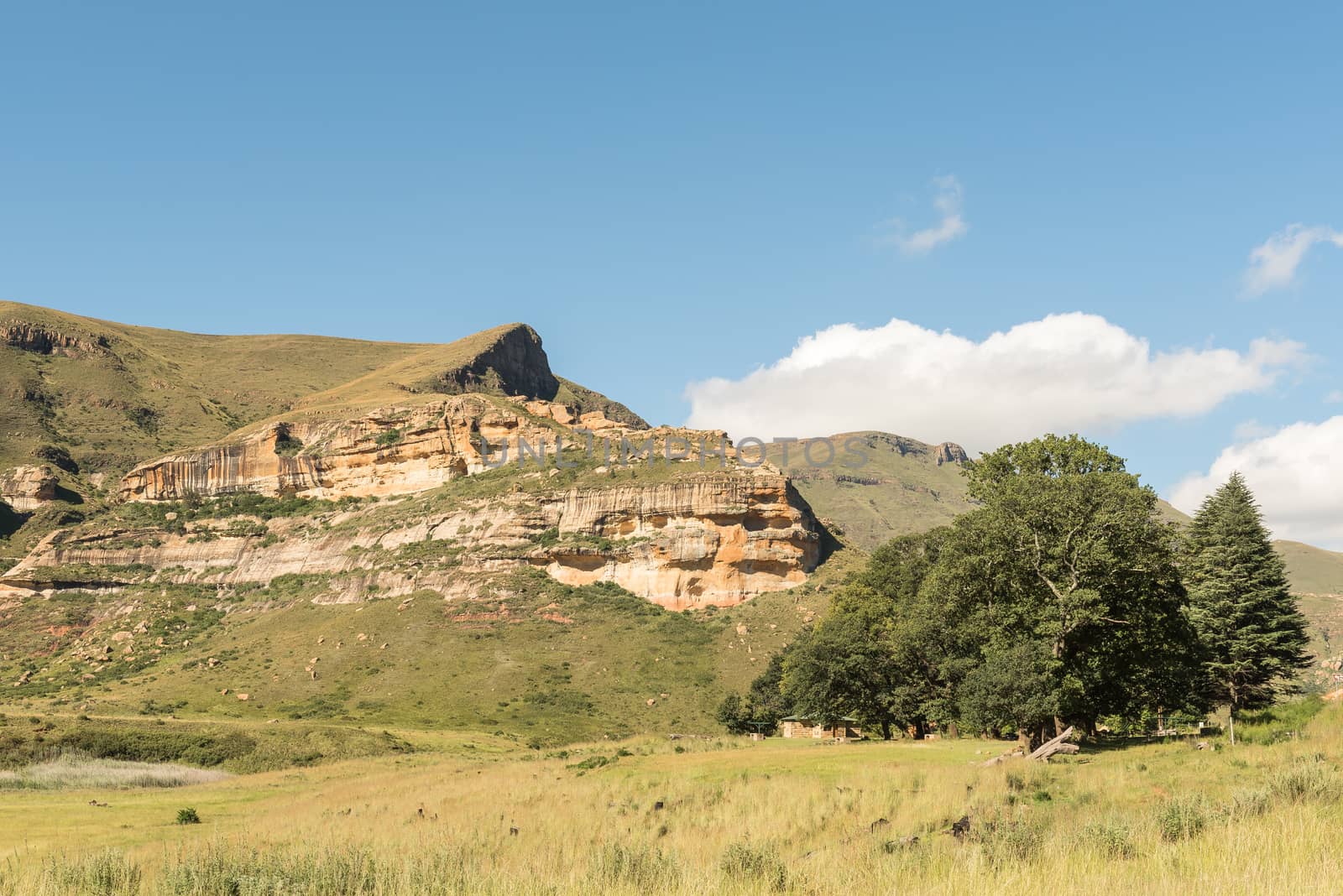
Mushroom Rock at Golden Gate in the Free State Province
Stock PhotoUsername
dpreezgResolution
3595x2400pxMushroom Rock at Golden Gate in the Free State Province
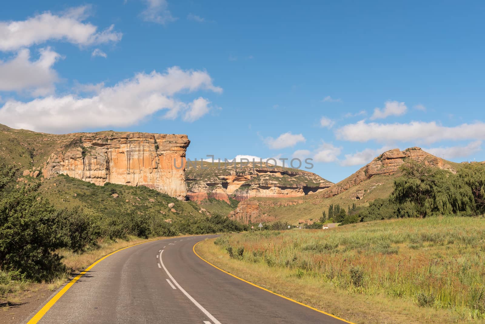
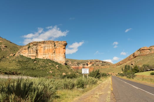
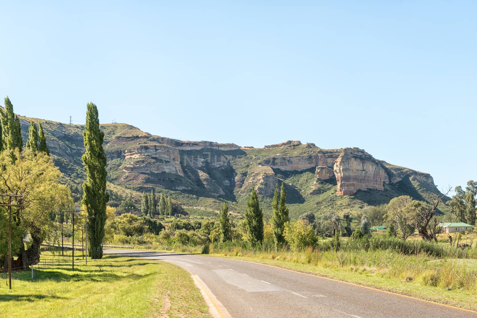
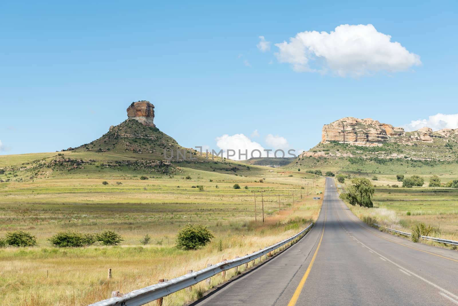
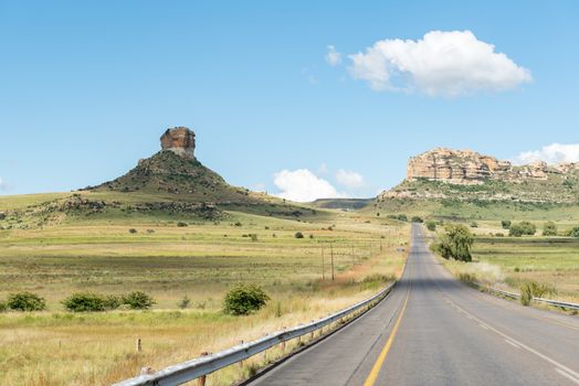
The Brandwag (sentinel) guards the entrance to Golden Gate
Stock PhotoUsername
dpreezgResolution
3595x2400pxThe Brandwag (sentinel) guards the entrance to Golden Gate

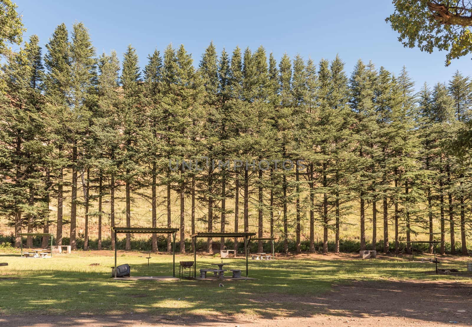
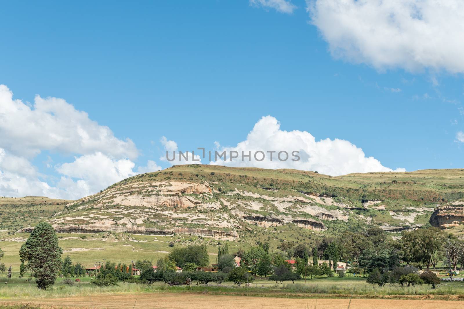
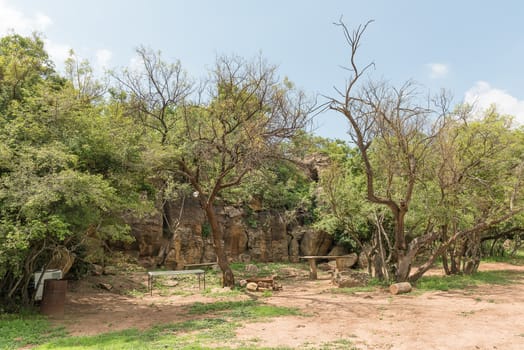
Shaded picnic area at Golden Gate in the Free State
Stock PhotoUsername
dpreezgResolution
3459x2400pxShaded picnic area at Golden Gate in the Free State

Shaded picnic area at Golden Gate in the Free State
Stock PhotoUsername
dpreezgResolution
3595x2400pxShaded picnic area at Golden Gate in the Free State

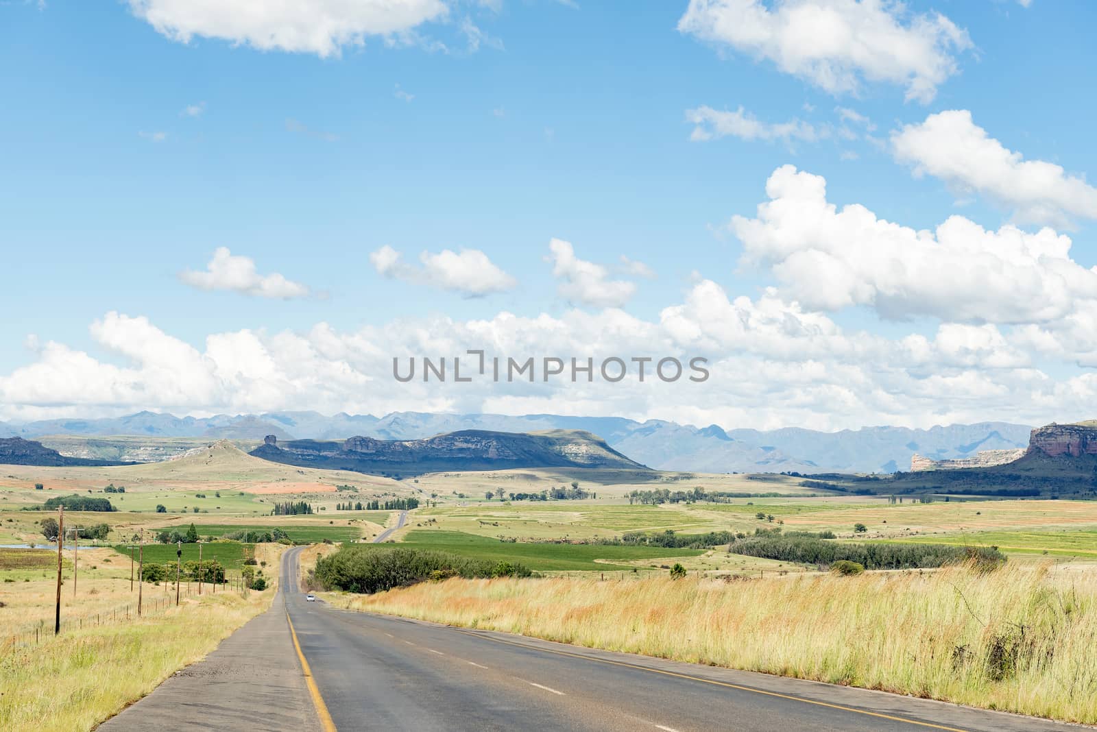
Road and landscape between Clarens and Golden Gate
Stock PhotoUsername
dpreezgResolution
3595x2400pxRoad and landscape between Clarens and Golden Gate
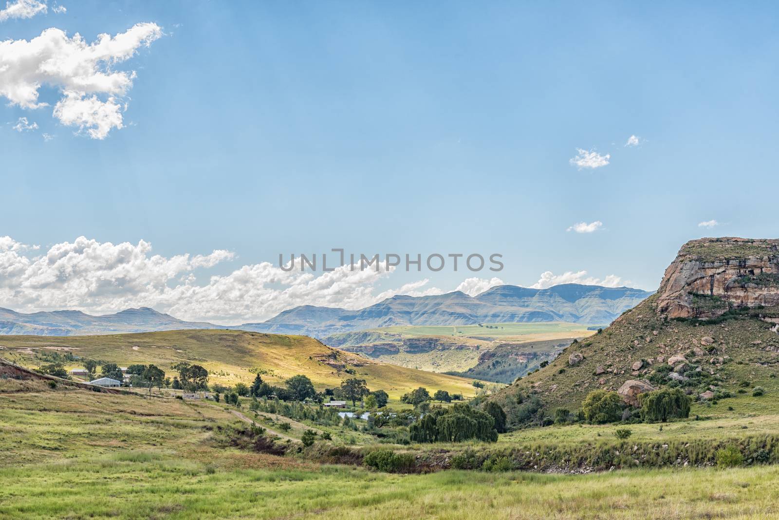
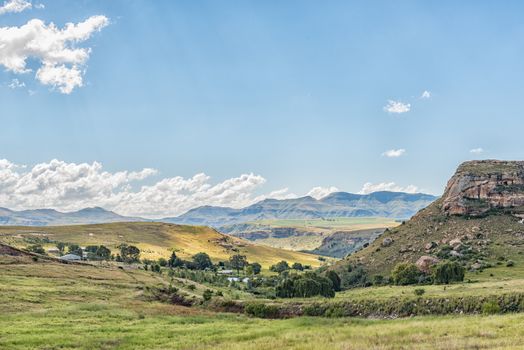
Landscape North of Clarens with Titanic Rock to the right
Stock PhotoUsername
dpreezgResolution
3595x2400pxLandscape North of Clarens with Titanic Rock to the right
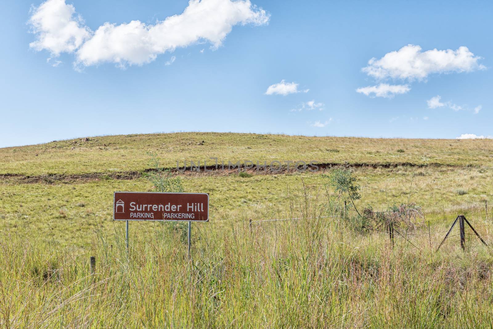
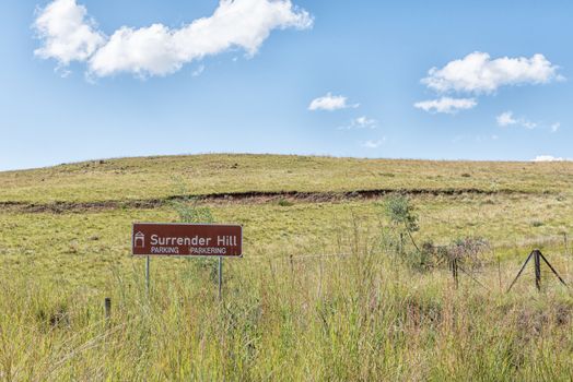
Surrender Hill near Clarens in the Free Stat
Stock PhotoUsername
dpreezgResolution
3595x2400pxSurrender Hill near Clarens in the Free Stat
Farm landscape between Fouriesburg and Clarens
Stock PhotoUsername
dpreezgResolution
3595x2400pxFarm landscape between Fouriesburg and Clarens
Landscape along the R711-road between Fouriesburg and Clarens
Stock PhotoUsername
dpreezgResolution
3595x2400pxLandscape along the R711-road between Fouriesburg and Clarens

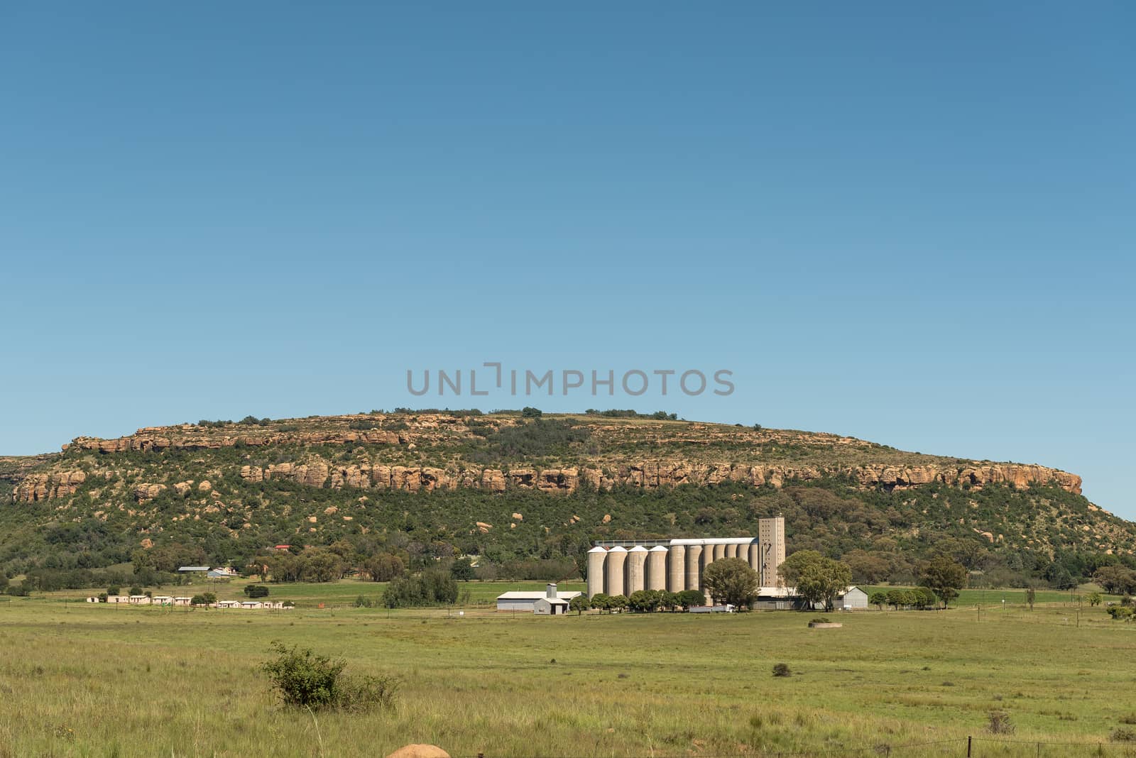
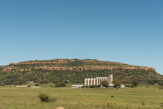
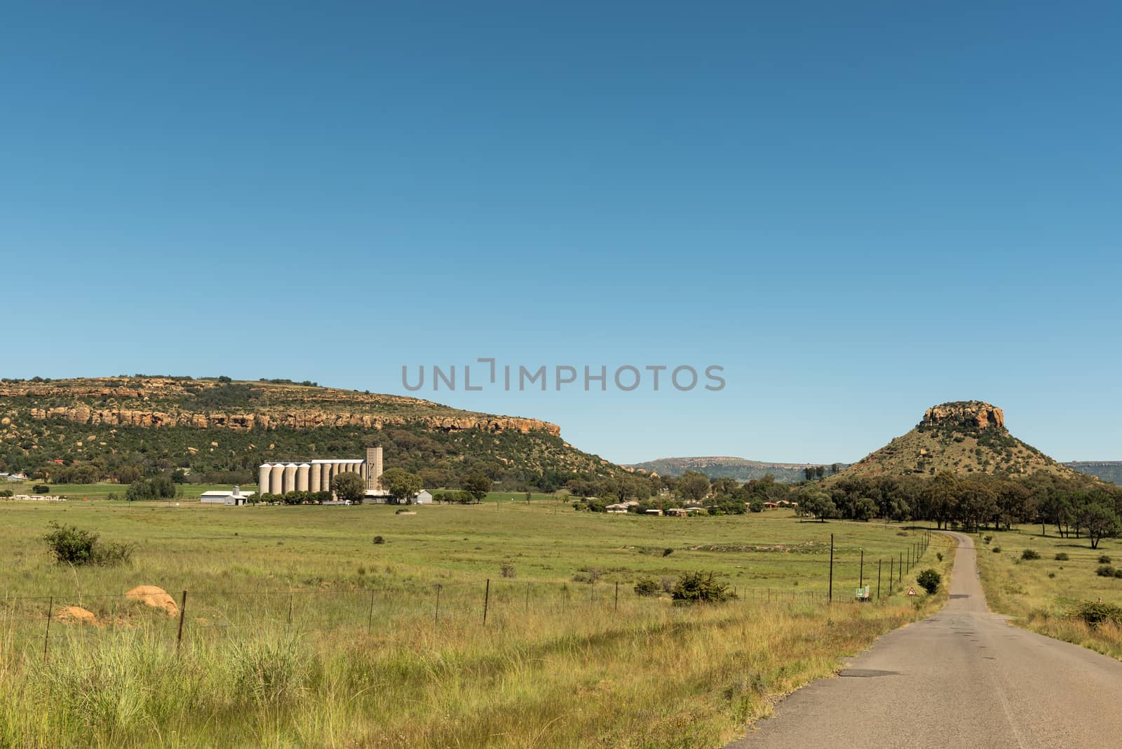
View of silos at Modderpoort near Ladybrand
Stock PhotoUsername
dpreezgResolution
3595x2400pxView of silos at Modderpoort near Ladybrand
Farm landscape between Fouriesburg and Clarens
Stock PhotoUsername
dpreezgResolution
3595x2400pxFarm landscape between Fouriesburg and Clarens

Typical sandstone hill landscape between Fouriesburg and Clarens
Stock PhotoUsername
dpreezgResolution
3595x2400pxTypical sandstone hill landscape between Fouriesburg and Clarens

Farm landscape with typical sandstone hills between Ficksburg an
Stock PhotoUsername
dpreezgResolution
4045x2700pxFarm landscape with typical sandstone hills between Ficksburg an

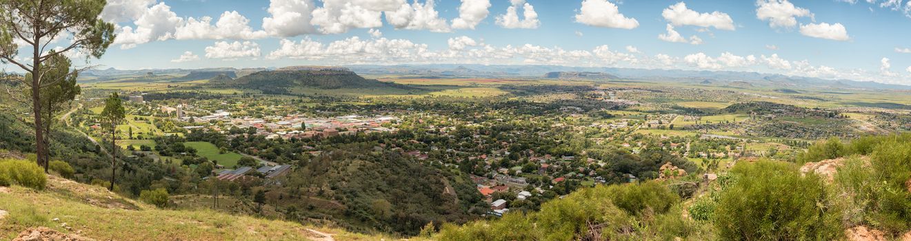
Panorama of Ficksburg in South Africa and Maputsoe in Lesotho
Stock PhotoUsername
dpreezgResolution
9054x2400pxPanorama of Ficksburg in South Africa and Maputsoe in Lesotho

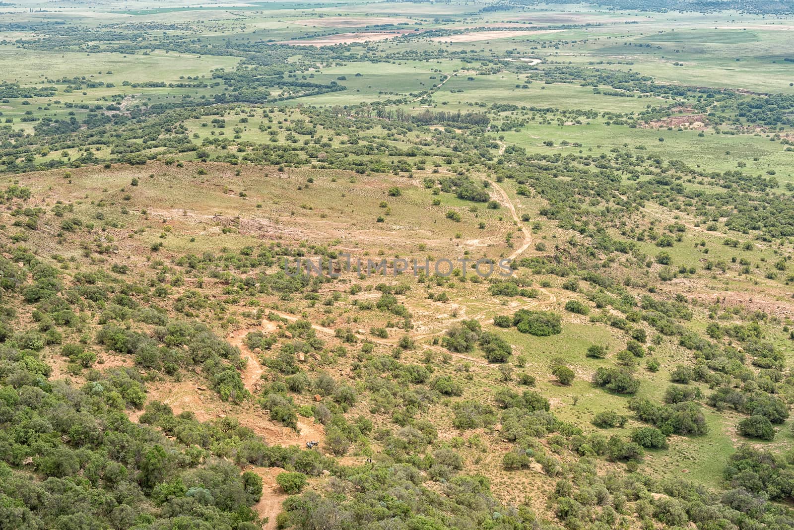
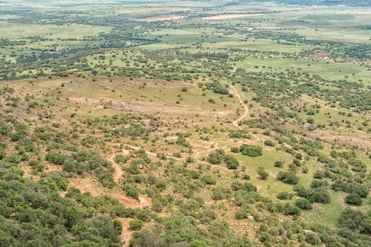
Aerial view of the landscape to the south of Ficksburg
Stock PhotoUsername
dpreezgResolution
3595x2400pxAerial view of the landscape to the south of Ficksburg
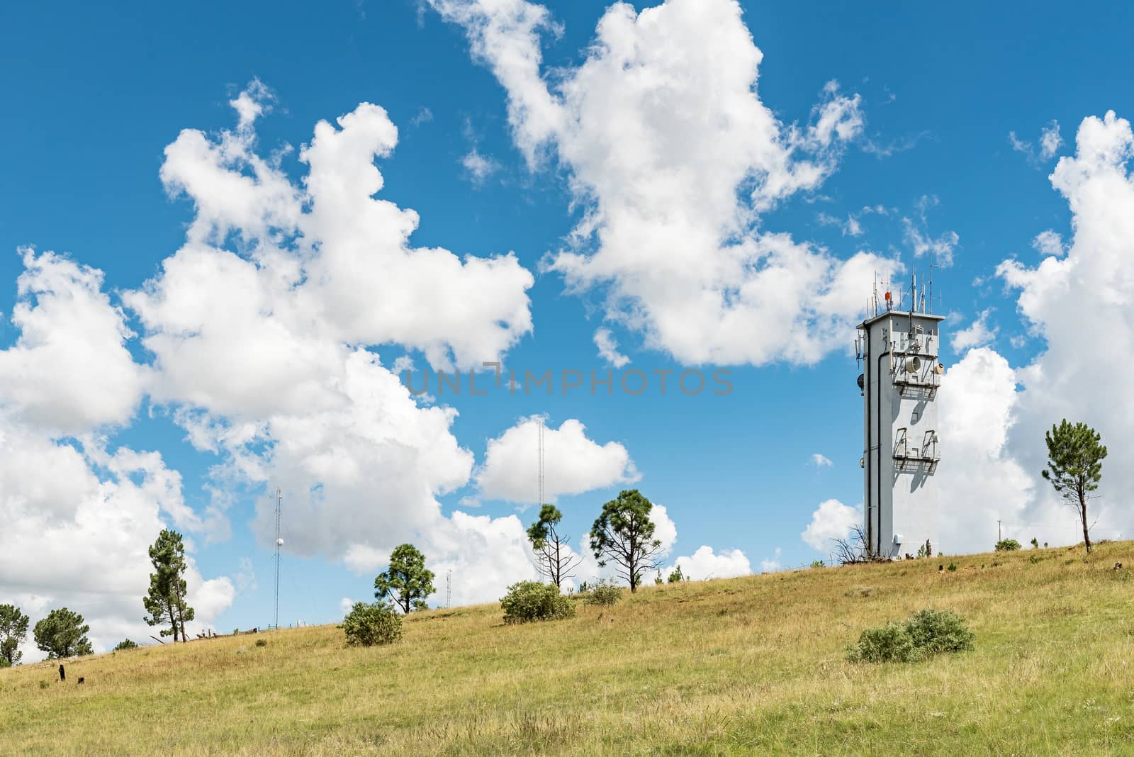
Microwave telecommunications tower on a mountain at Ficksburg
Stock PhotoUsername
dpreezgResolution
3595x2400pxMicrowave telecommunications tower on a mountain at Ficksburg


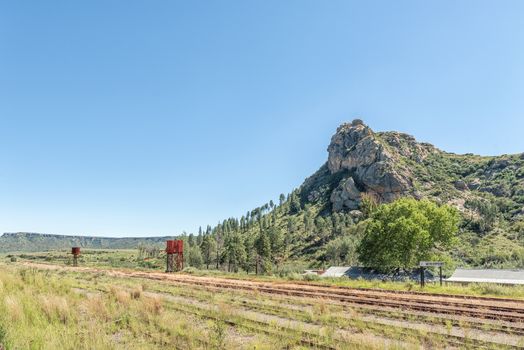
Train station in Modderpoort near Ladybrand
Stock PhotoUsername
dpreezgResolution
3595x2400pxTrain station in Modderpoort near Ladybrand
View of Modderpoort near Ladybrand in the Eastern Free State
Stock PhotoUsername
dpreezgResolution
3595x2400pxView of Modderpoort near Ladybrand in the Eastern Free State


Level railway road crossing at Tweespruit in the Free State
Stock PhotoUsername
dpreezgResolution
3595x2400pxLevel railway road crossing at Tweespruit in the Free State


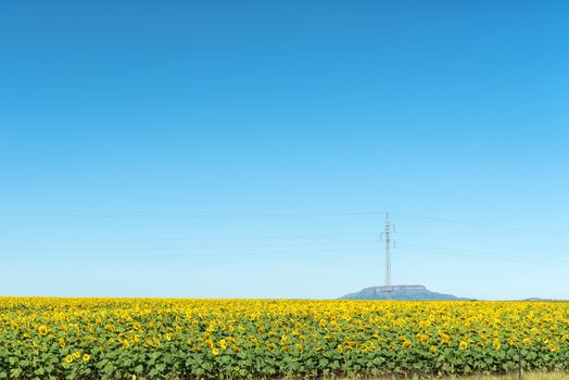
Sunflower field and power line near Westminster, Free State Prov
Stock PhotoUsername
dpreezgResolution
3595x2400pxSunflower field and power line near Westminster, Free State Prov

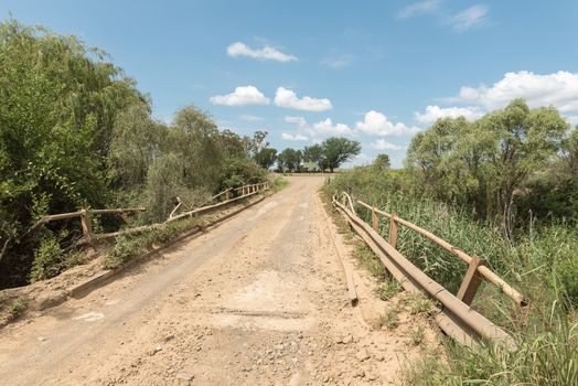
R709-road bridge across the Groot Vet River near Excelsior
Stock PhotoUsername
dpreezgResolution
3595x2400pxR709-road bridge across the Groot Vet River near Excelsior

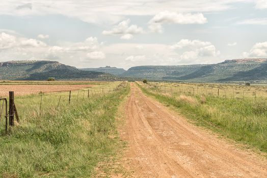
Road to Korannaberg Adventures, with the Korannaberg in the back
Stock PhotoUsername
dpreezgResolution
3146x2100pxRoad to Korannaberg Adventures, with the Korannaberg in the back
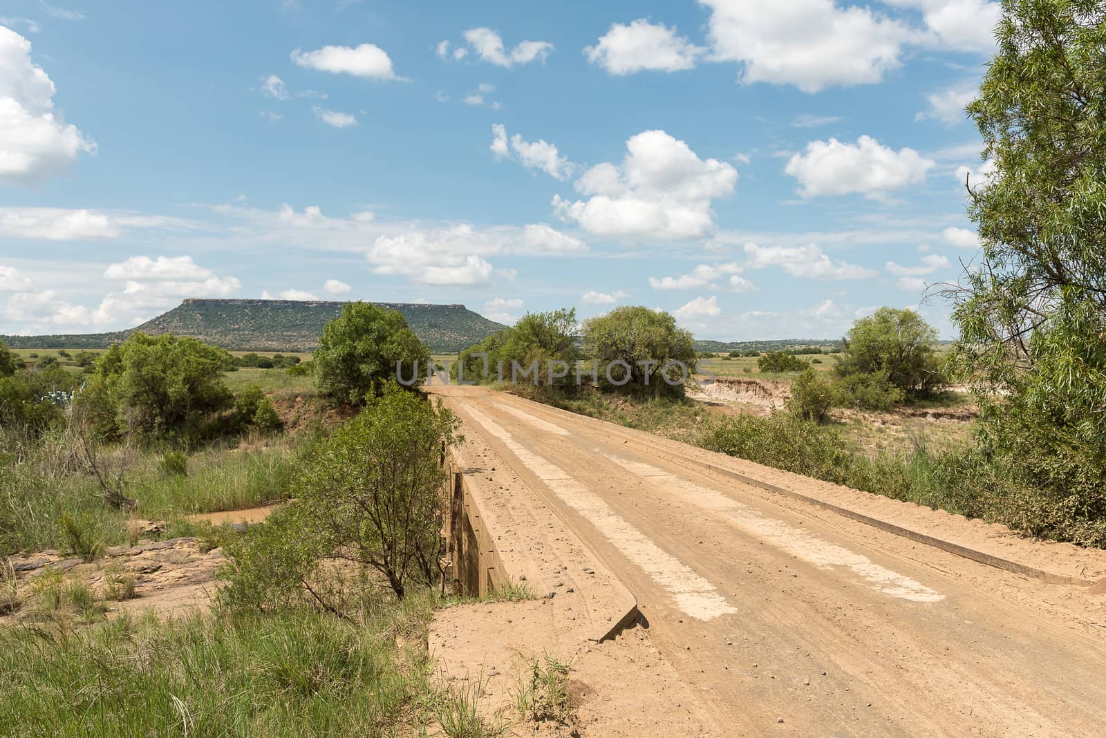
S111-road bridge across the Klein Vet River near Excelsior
Stock PhotoUsername
dpreezgResolution
3146x2100pxS111-road bridge across the Klein Vet River near Excelsior

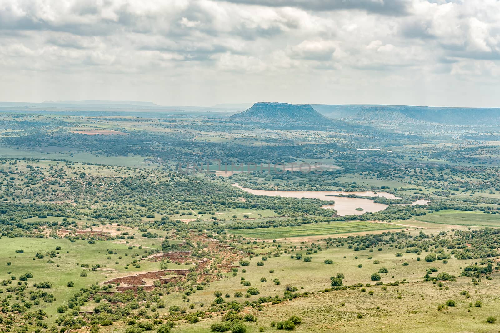
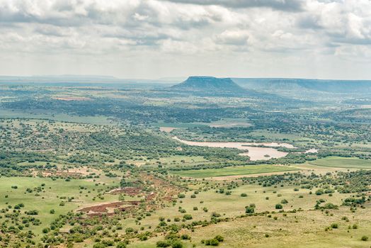
North-West view from the Koranna Mountain near Excelsior
Stock PhotoUsername
dpreezgResolution
3595x2400pxNorth-West view from the Koranna Mountain near Excelsior
North-East view from the Koranna Mountain near Excelsior
Stock PhotoUsername
dpreezgResolution
3146x2100pxNorth-East view from the Koranna Mountain near Excelsior
4x4 road on the Koranna Mountain near Excelsior
Stock PhotoUsername
dpreezgResolution
3595x2400px4x4 road on the Koranna Mountain near Excelsior
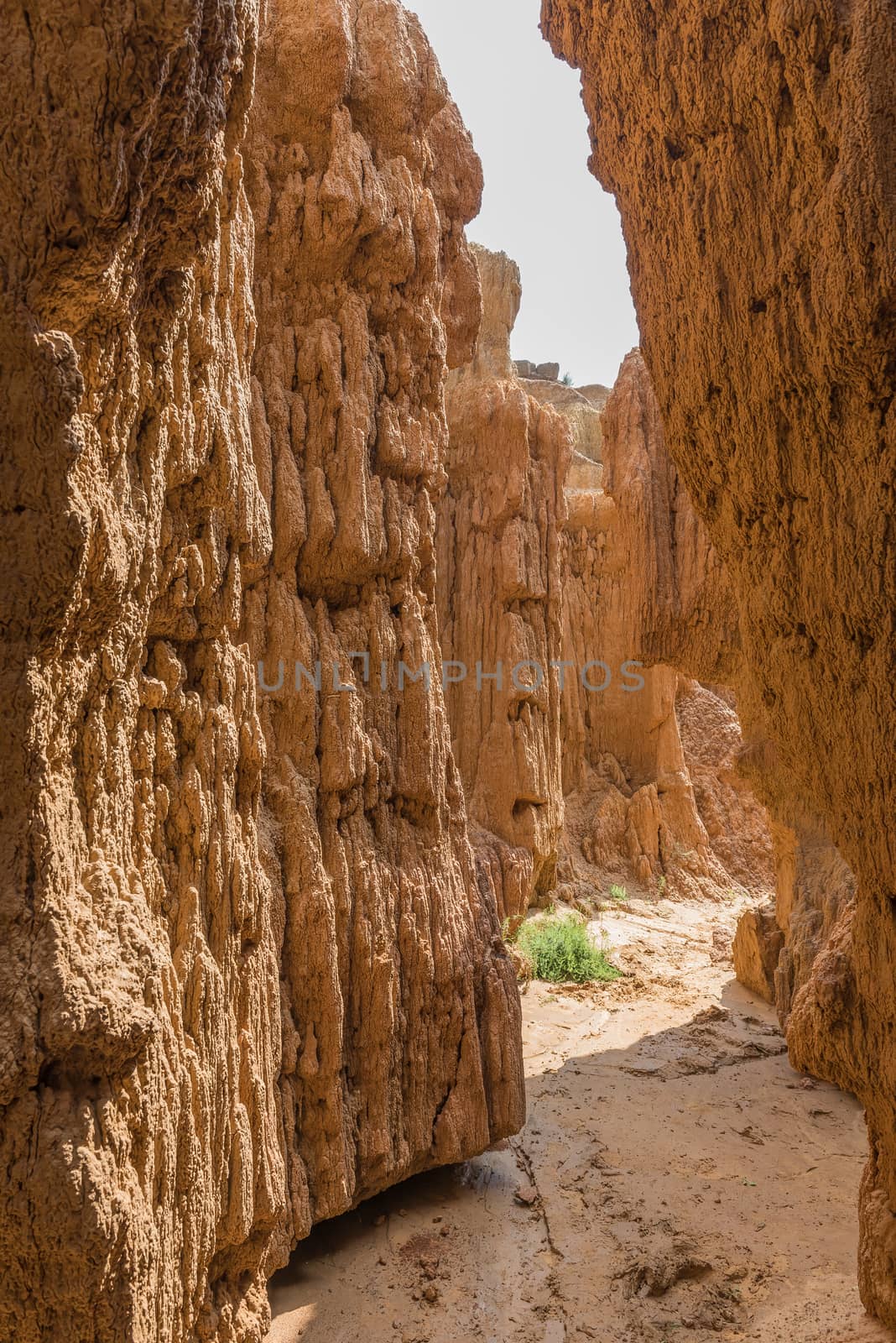
Narrow erosion canyon at the Koranna Mountain near Excelsior
Stock PhotoUsername
dpreezgResolution
2700x4045pxNarrow erosion canyon at the Koranna Mountain near Excelsior


Camping site in the Koranna Mountain near Excelsior
Stock PhotoUsername
dpreezgResolution
3595x2400pxCamping site in the Koranna Mountain near Excelsior

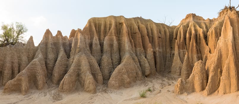
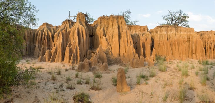
Panorama of erosion canyon at Koranna Mountain near Excelsior
Stock PhotoUsername
dpreezgResolution
5524x2400pxPanorama of erosion canyon at Koranna Mountain near Excelsior
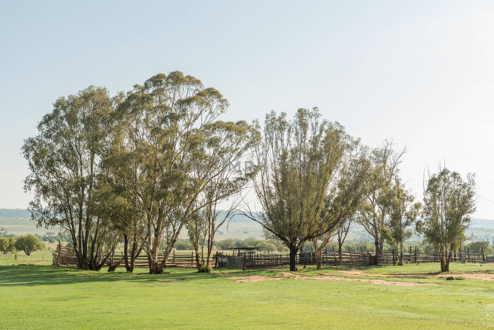
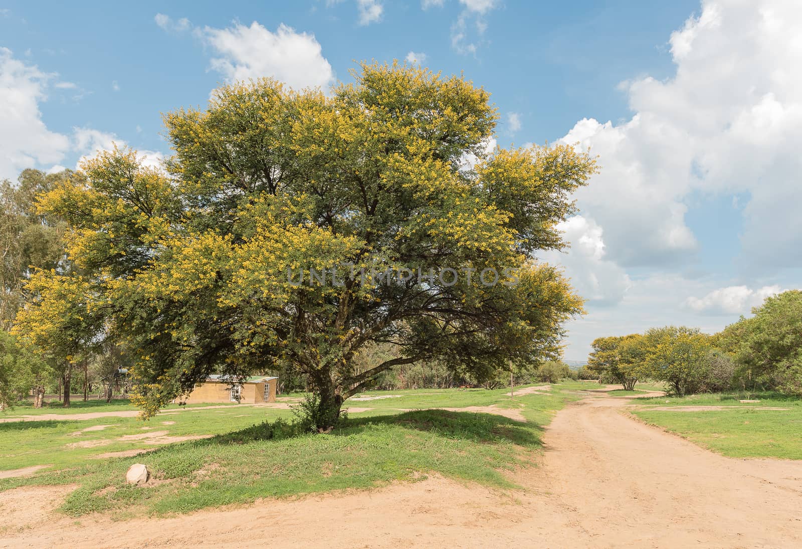
Early morning farm scene at the Koranna Mountain near Excelsior
Stock PhotoUsername
dpreezgResolution
3595x2400pxEarly morning farm scene at the Koranna Mountain near Excelsior

Erosion canyon at sunset at the Koranna Mountain near Excelsior
Stock PhotoUsername
dpreezgResolution
4045x2700pxErosion canyon at sunset at the Koranna Mountain near Excelsior

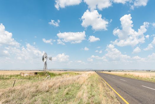
Farm scene with water-pumping windmill between Verkeerdevlei and
Stock PhotoUsername
dpreezgResolution
3595x2400pxFarm scene with water-pumping windmill between Verkeerdevlei and
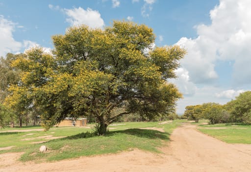
Farm scene at the Koranna Mountain near Excelsior
Stock PhotoUsername
dpreezgResolution
3508x2400pxFarm scene at the Koranna Mountain near Excelsior
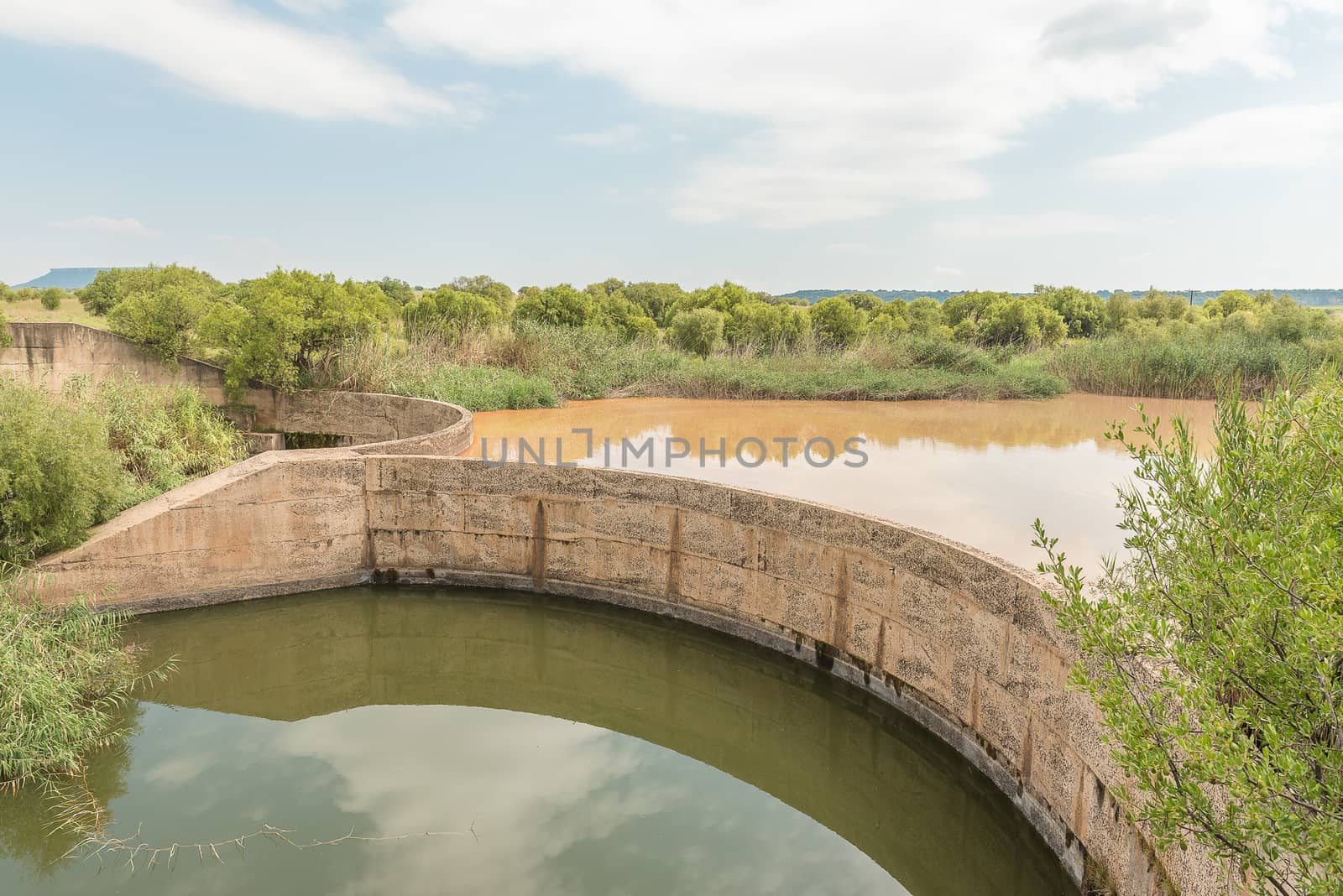
Dam in the Klein Vet River at the Koranna Mountain
Stock PhotoUsername
dpreezgResolution
3595x2400pxDam in the Klein Vet River at the Koranna Mountain


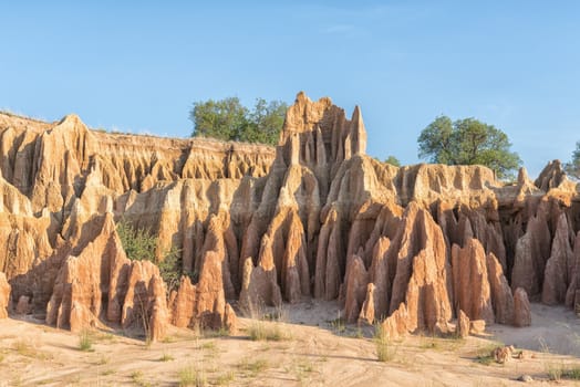
Panorama of erosion canyon at Koranna Mountain near Excelsior
Stock PhotoUsername
dpreezgResolution
5020x2400pxPanorama of erosion canyon at Koranna Mountain near Excelsior

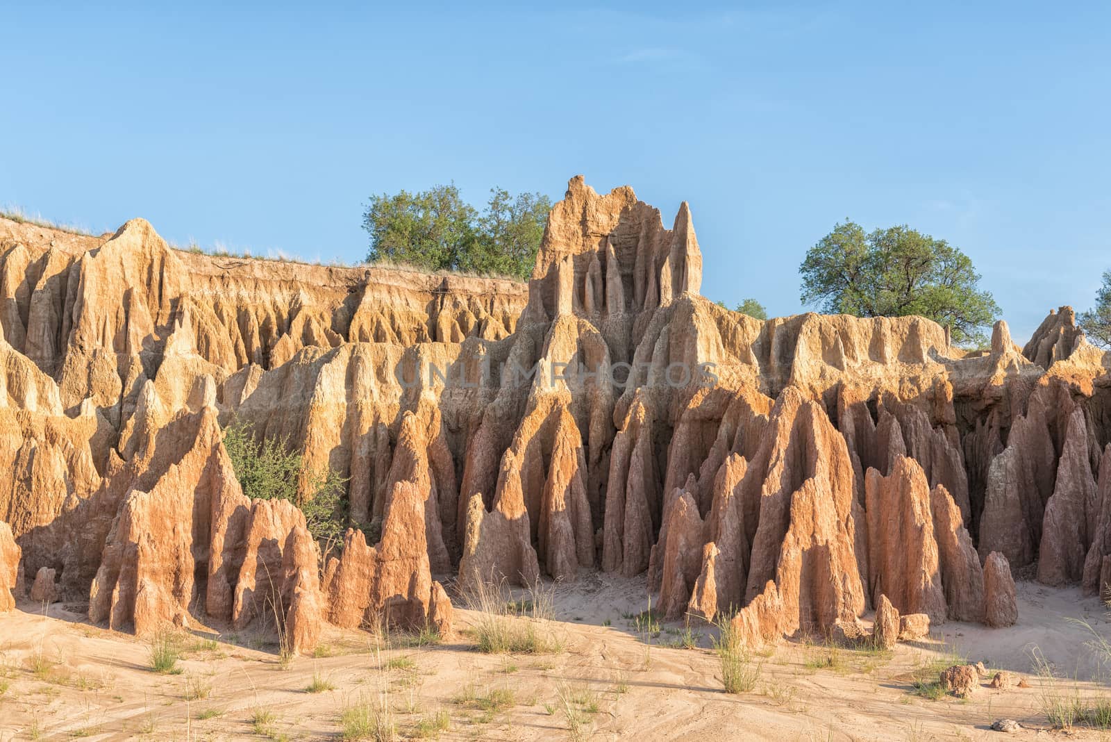
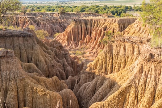
Erosion canyon at the Koranna Mountain near Excelsior
Stock PhotoUsername
dpreezgResolution
4052x2700pxErosion canyon at the Koranna Mountain near Excelsior

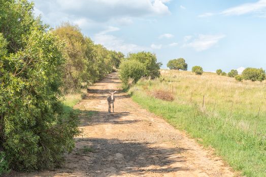
Donkey on a farm at the Koranna Mountain near Excelsior
Stock PhotoUsername
dpreezgResolution
3596x2400pxDonkey on a farm at the Koranna Mountain near Excelsior