- Filter By:
-
-
Stock photos and images of username:BasPhoto

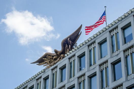
US Embassy facade, Grosvenor Square, London
Stock PhotoUsername
BasPhotoResolution
4928x3264pxUS Embassy facade, Grosvenor Square, London
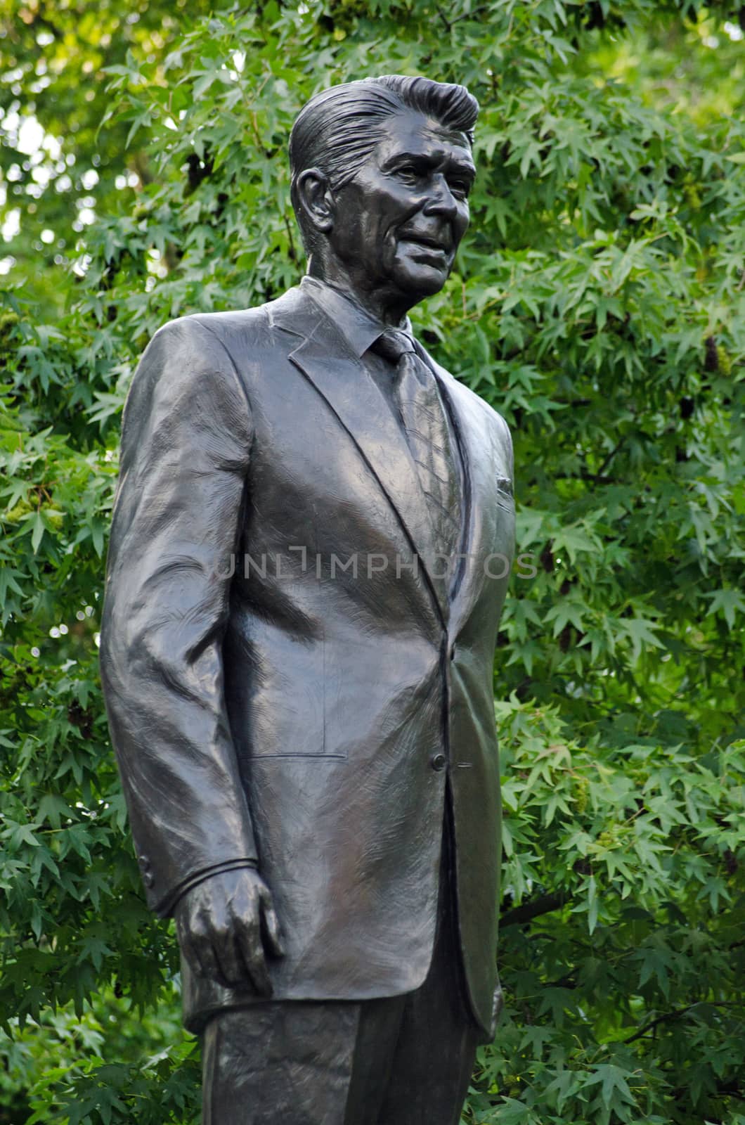
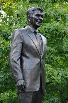
President Ronald Reagan statue, Grosvenor Square, London
Stock PhotoUsername
BasPhotoResolution
3264x4928pxPresident Ronald Reagan statue, Grosvenor Square, London

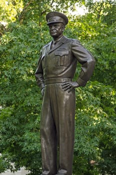
Dwight D. Eisenhower Statue, London
Stock PhotoUsername
BasPhotoResolution
3264x4928pxDwight D. Eisenhower Statue, London
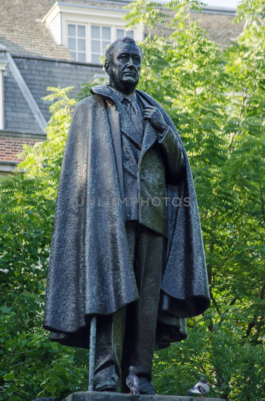
Roosevelt Statue, Grovesnor Square, London
Stock PhotoUsername
BasPhotoResolution
3264x4928pxRoosevelt Statue, Grovesnor Square, London

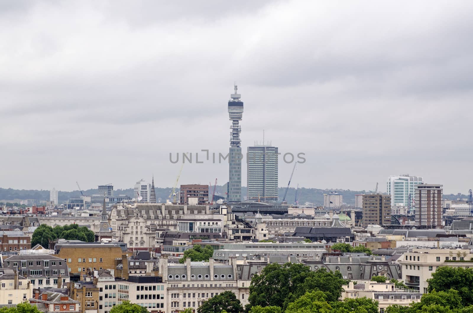
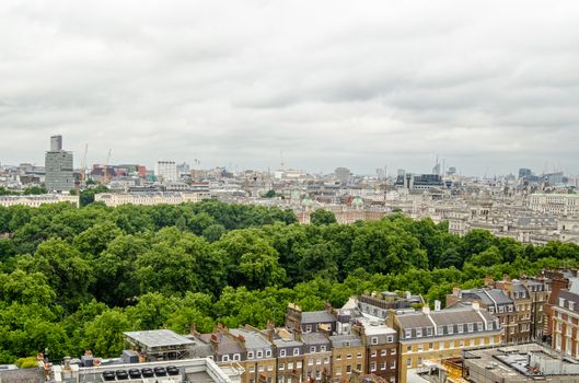
Post Office Tower and roofs of Mayfair, London
Stock PhotoUsername
BasPhotoResolution
4844x3208pxPost Office Tower and roofs of Mayfair, London

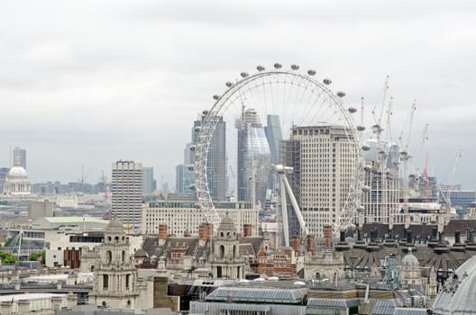
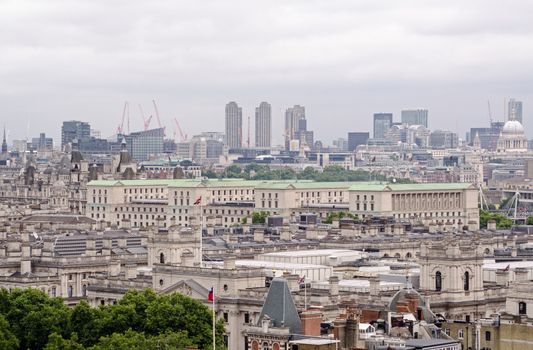
Across Westminster to the South Bank, London
Stock PhotoUsername
BasPhotoResolution
4843x3208pxAcross Westminster to the South Bank, London
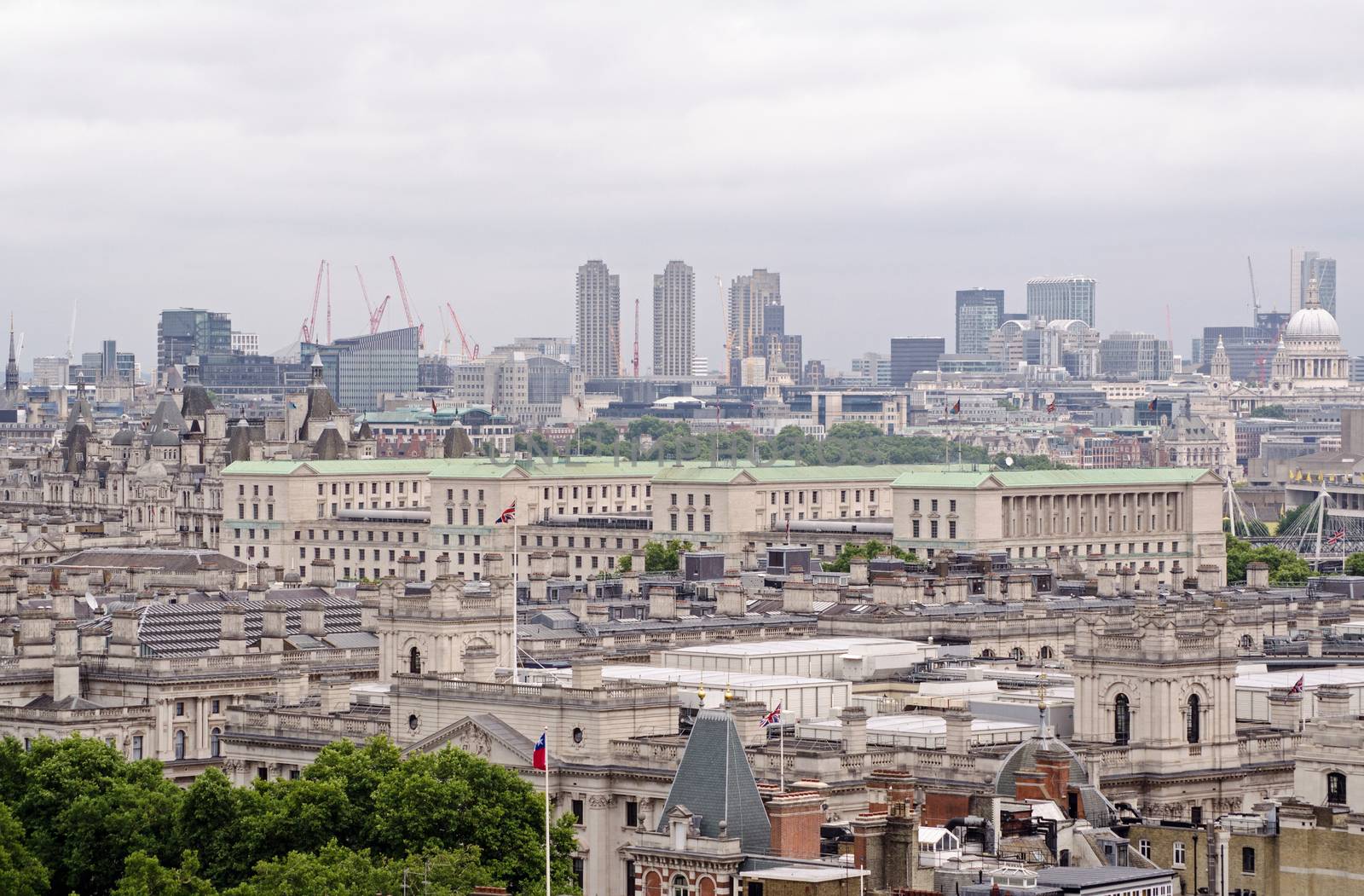
Ministry of Defence aerial view, London
Stock PhotoUsername
BasPhotoResolution
4893x3214pxMinistry of Defence aerial view, London

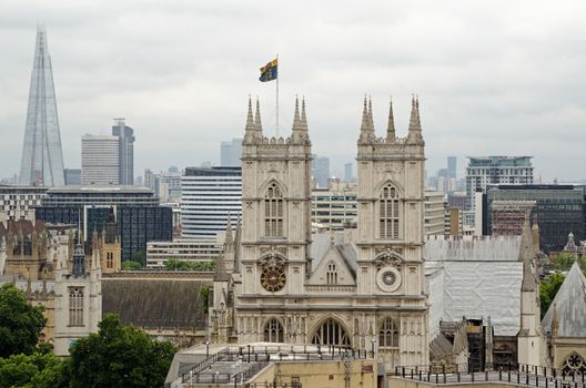
Westminster Abbey Facade
Stock PhotoUsername
BasPhotoResolution
4885x3236pxWestminster Abbey Facade
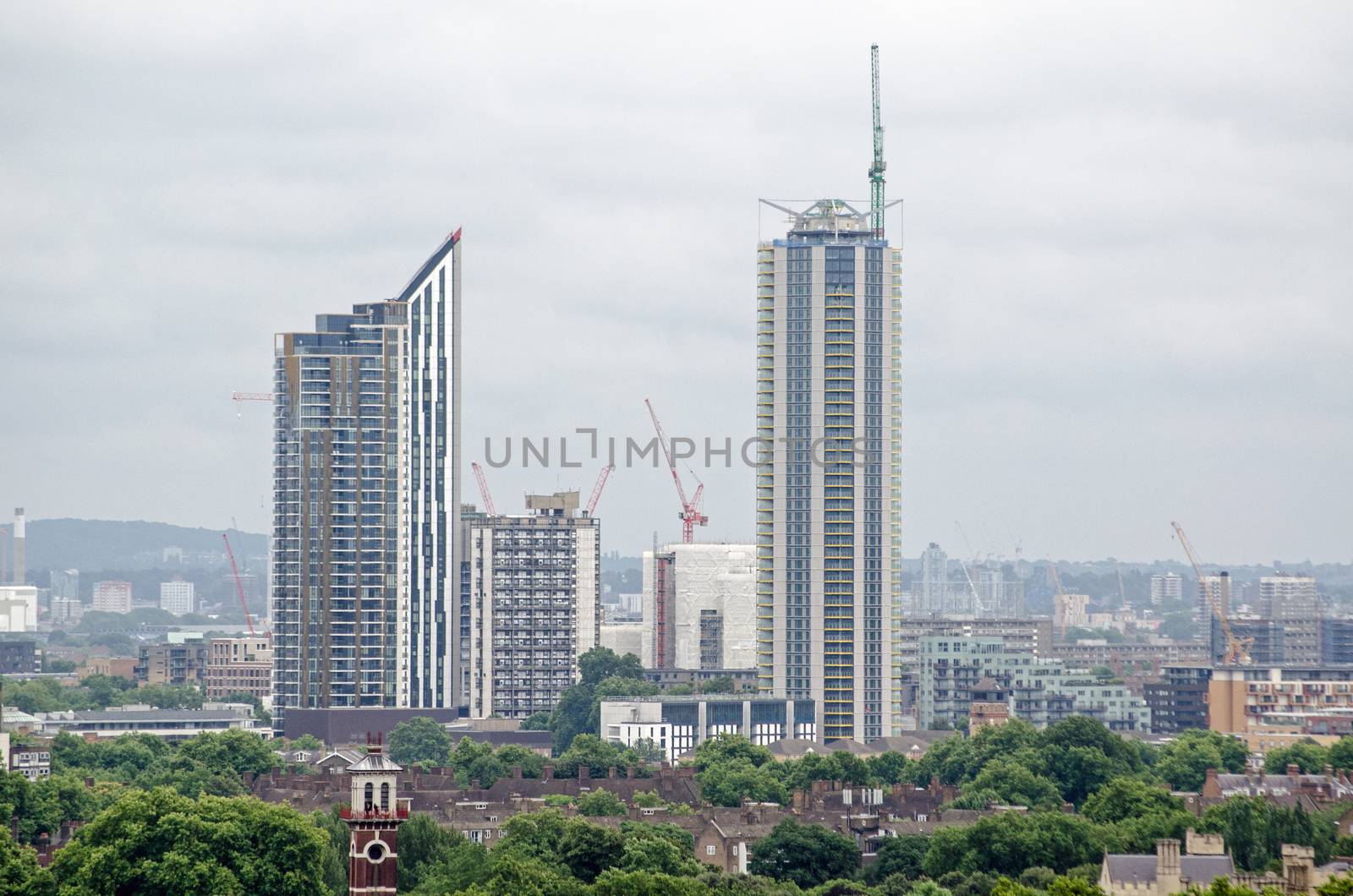
New Tower Block Flats, Elephant and Castle
Stock PhotoUsername
BasPhotoResolution
4861x3219pxNew Tower Block Flats, Elephant and Castle

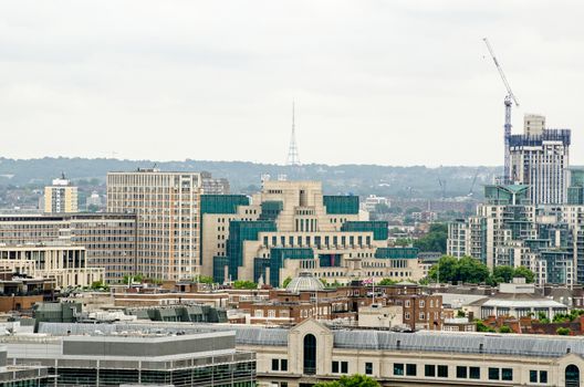
MI6 Building viewed from Westminster
Stock PhotoUsername
BasPhotoResolution
4701x3114pxMI6 Building viewed from Westminster

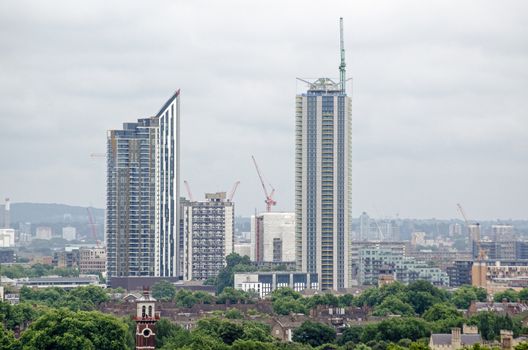
Tower blocks, Victoria, London
Stock PhotoUsername
BasPhotoResolution
4928x3264pxTower blocks, Victoria, London
St James' Park, London - aerial view
Stock PhotoUsername
BasPhotoResolution
4768x3154pxSt James' Park, London - aerial view
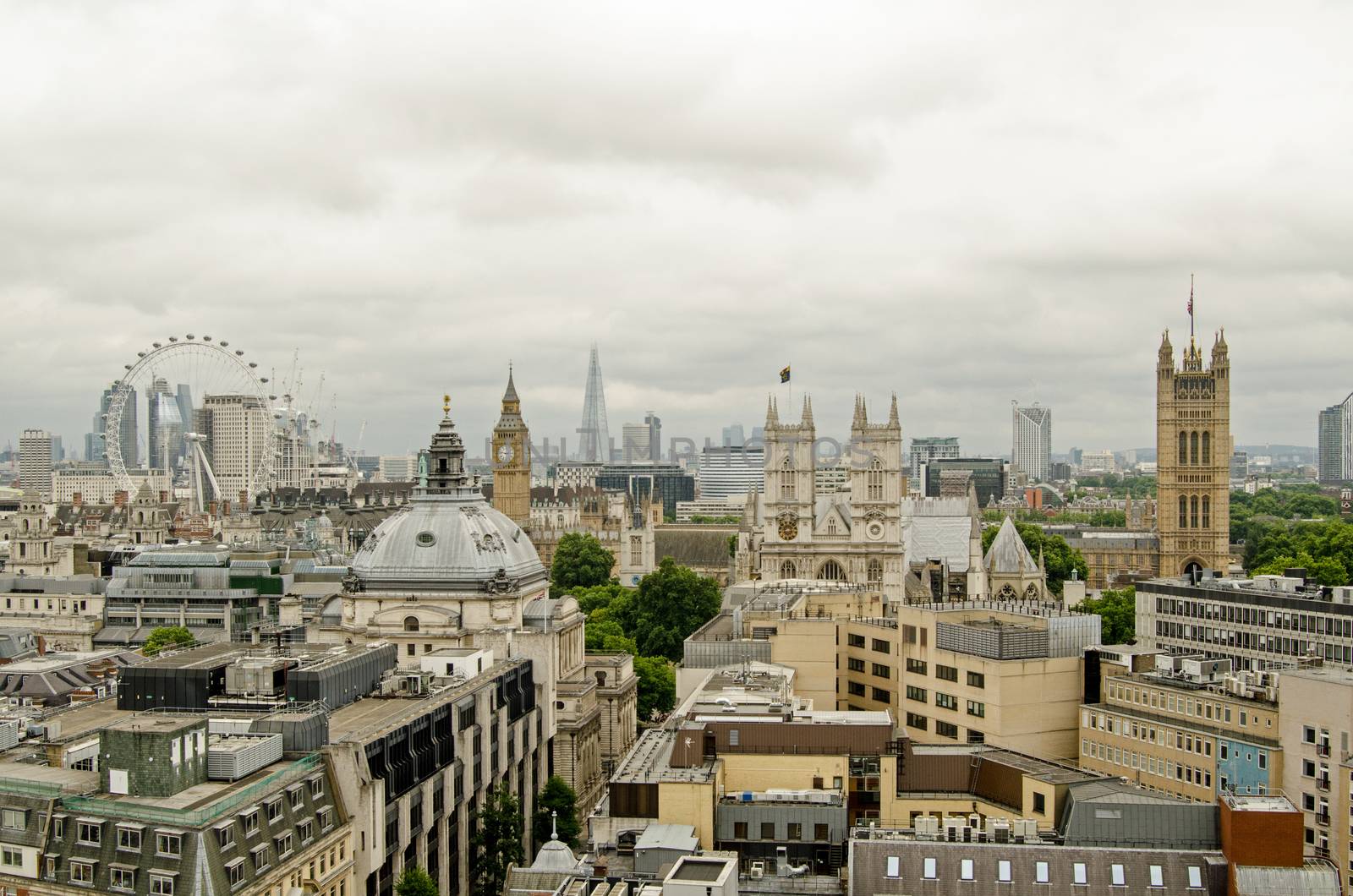
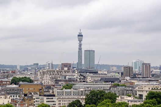
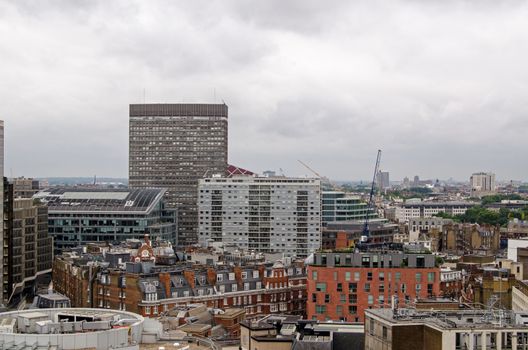
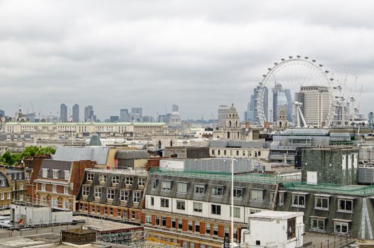
Westminster Skyline, London
Stock PhotoUsername
BasPhotoResolution
4928x3264pxWestminster Skyline, London

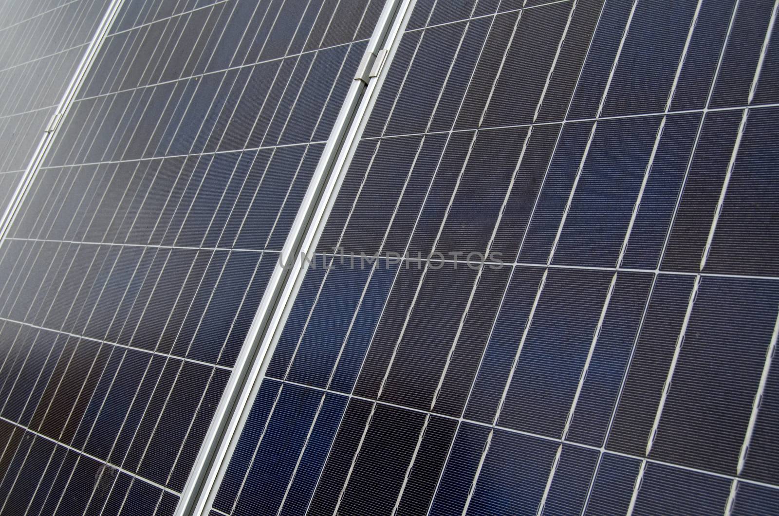
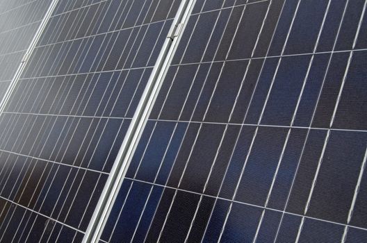
Solar panels - detail
Stock PhotoUsername
BasPhotoResolution
4928x3264pxSolar panels - detail
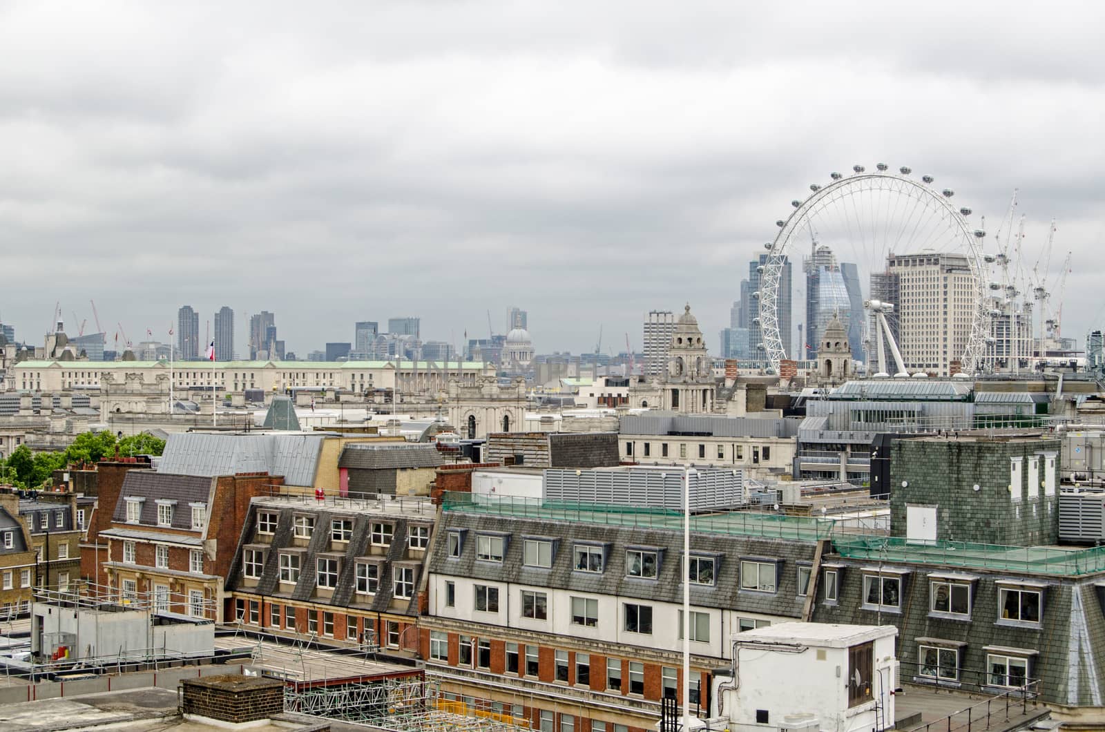
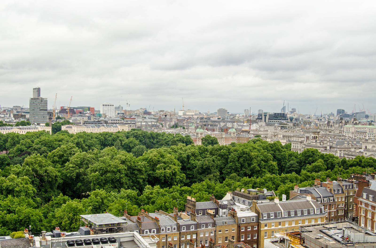
Westminster rooftops and London skyline
Stock PhotoUsername
BasPhotoResolution
4928x3264pxWestminster rooftops and London skyline

Number 14
Stock PhotoUsername
BasPhotoResolution
4928x3264pxNumber 14
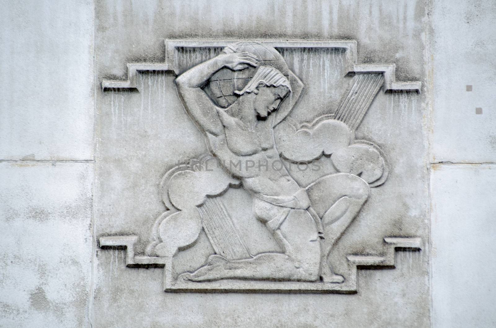
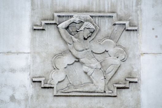
Atlas relief, London
Stock PhotoUsername
BasPhotoResolution
4872x3227pxAtlas relief, London

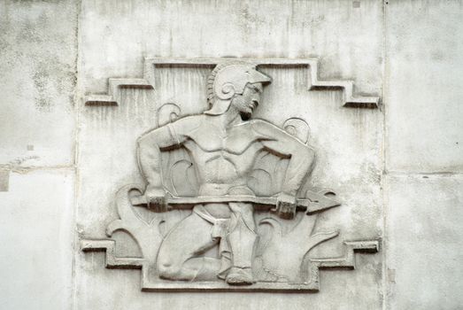
Vulcan god relief, Westminster
Stock PhotoUsername
BasPhotoResolution
4546x3042pxVulcan god relief, Westminster

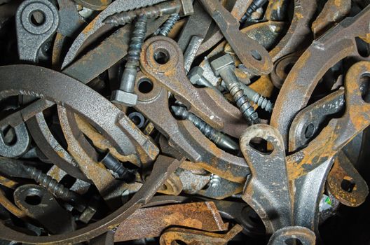
Brackets and bolts
Stock PhotoUsername
BasPhotoResolution
4928x3264pxBrackets and bolts
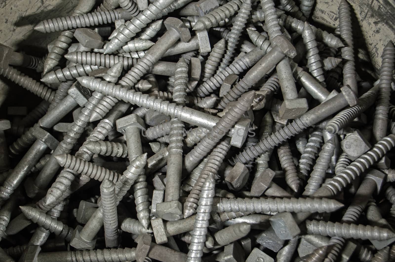
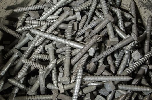
Bucket of large screws
Stock PhotoUsername
BasPhotoResolution
4928x3264pxBucket of large screws

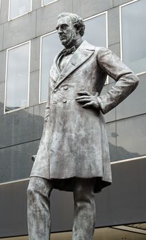
Robert Stevenson statue, Euston, London
Stock PhotoUsername
BasPhotoResolution
2763x4545pxRobert Stevenson statue, Euston, London

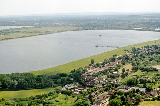
Wraysbury Reservoir, Slough, Aerial View
Stock PhotoUsername
BasPhotoResolution
4928x3264pxWraysbury Reservoir, Slough, Aerial View

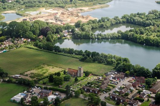
Horton Church, Slough, aerial view
Stock PhotoUsername
BasPhotoResolution
4928x3264pxHorton Church, Slough, aerial view

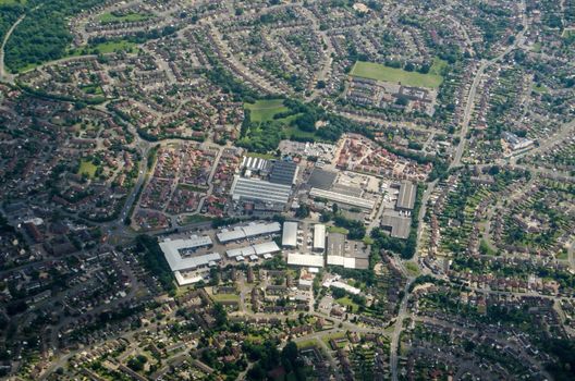
Out of town shopping centre, Reading, aerial view
Stock PhotoUsername
BasPhotoResolution
4928x3264pxOut of town shopping centre, Reading, aerial view

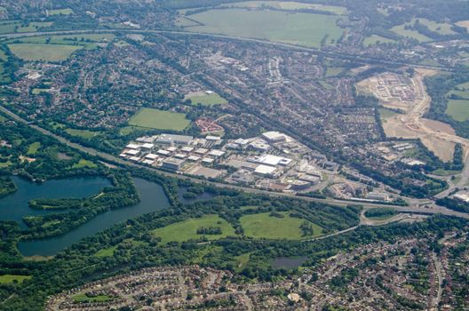
Winnersh Triangle, aerial view, Berkshire
Stock PhotoUsername
BasPhotoResolution
4928x3264pxWinnersh Triangle, aerial view, Berkshire

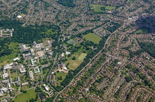
Reading University - aerial view
Stock PhotoUsername
BasPhotoResolution
4928x3264pxReading University - aerial view
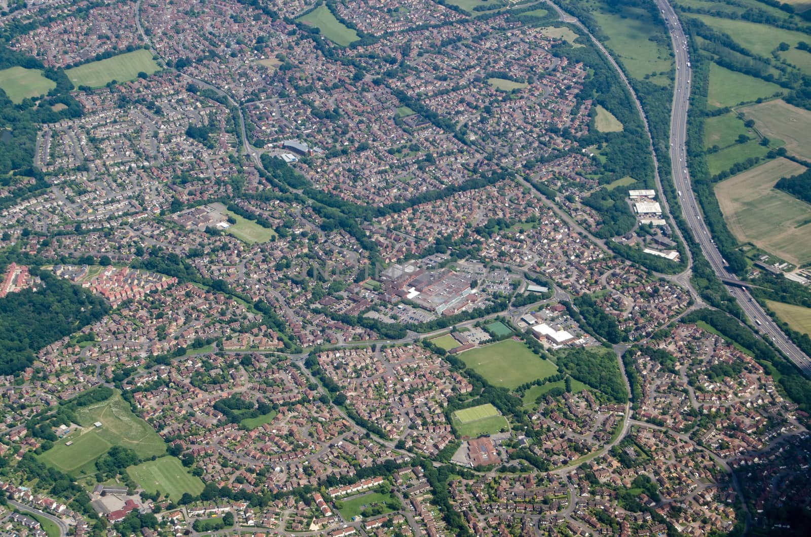
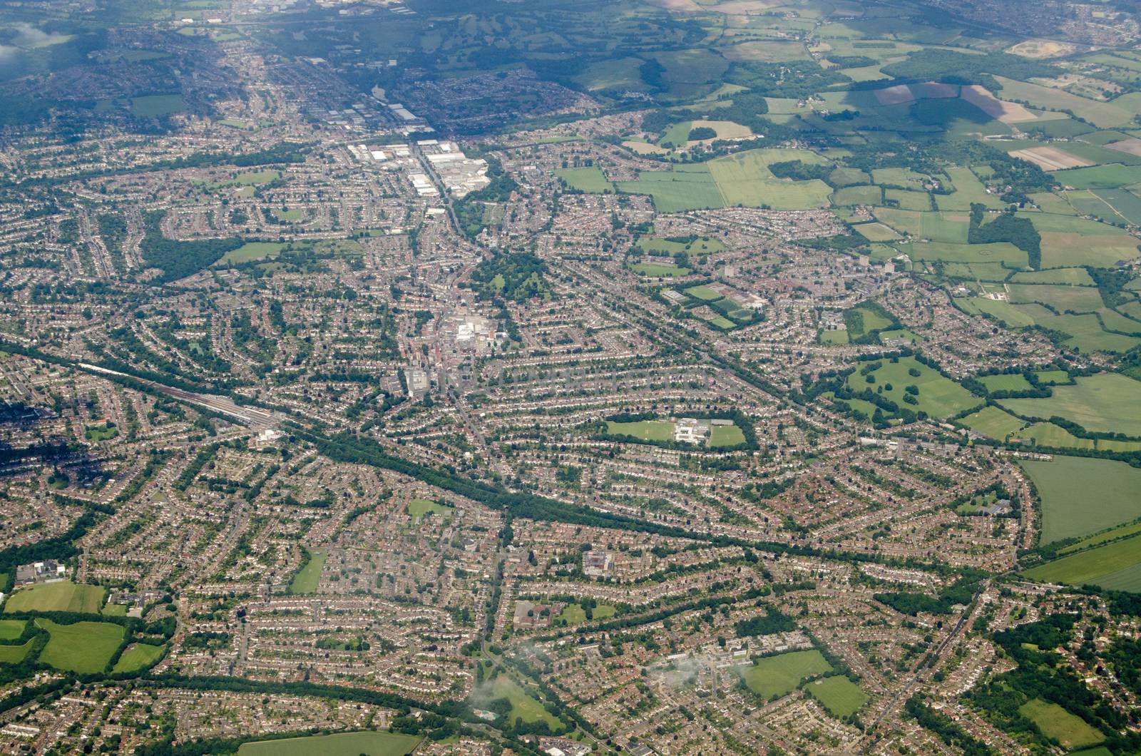
Lower Earley housing estates, Reading - Aerial View
Stock PhotoUsername
BasPhotoResolution
4928x3264pxLower Earley housing estates, Reading - Aerial View
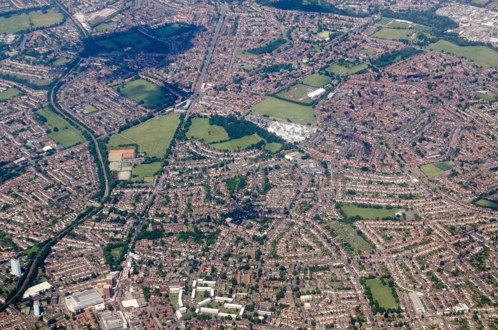
Earley, Reading - Aerial View
Stock PhotoUsername
BasPhotoResolution
4928x3264pxEarley, Reading - Aerial View

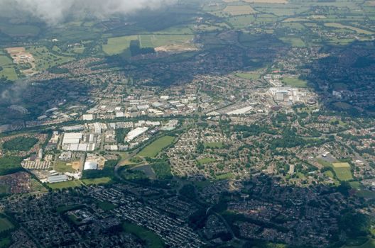
Wokingham, Berkshire - Aerial View
Stock PhotoUsername
BasPhotoResolution
4928x3264pxWokingham, Berkshire - Aerial View

Windlesham, Surrey - Aerial View
Stock PhotoUsername
BasPhotoResolution
4928x3264pxWindlesham, Surrey - Aerial View


Bracknell, Berkshire - aerial view
Stock PhotoUsername
BasPhotoResolution
4928x3264pxBracknell, Berkshire - aerial view

Worces
Stock PhotoUsername
BasPhotoResolution
4928x3264pxWorces
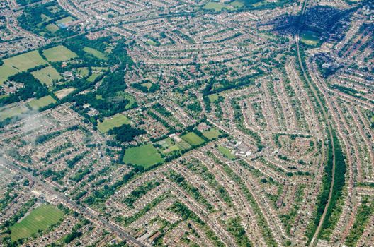
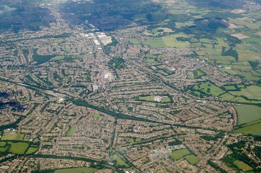
Sutton and Morden aerial view
Stock PhotoUsername
BasPhotoResolution
4928x3264pxSutton and Morden aerial view

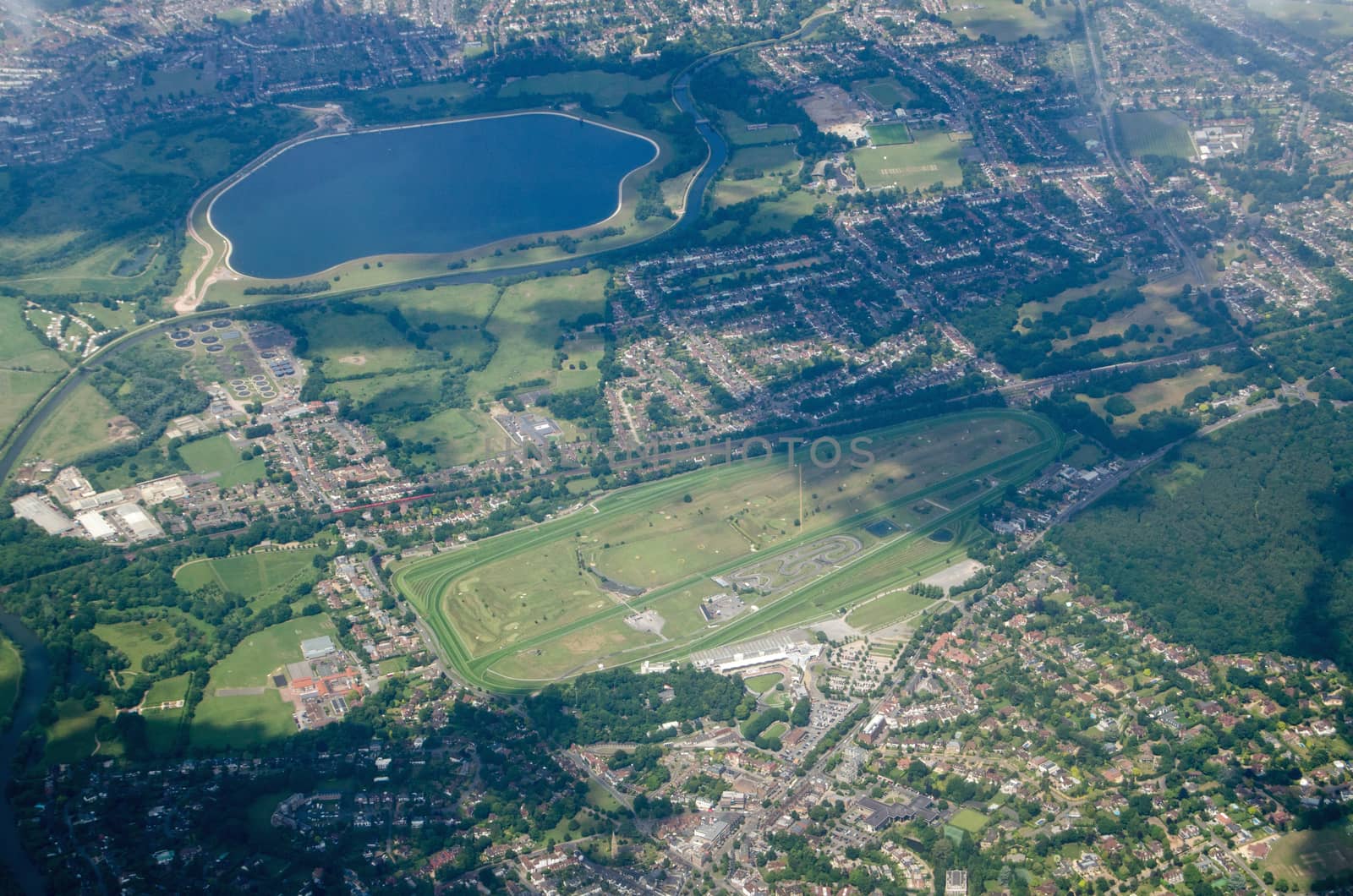
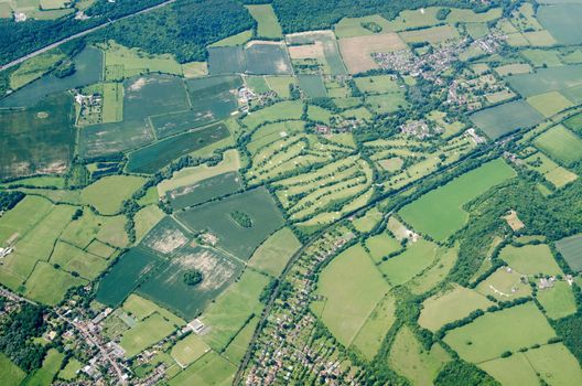
Sandown Park Race Course - Aerial View
Stock PhotoUsername
BasPhotoResolution
4928x3264pxSandown Park Race Course - Aerial View


Shoreham and War Memorial, aerial view
Stock PhotoUsername
BasPhotoResolution
4928x3264pxShoreham and War Memorial, aerial view
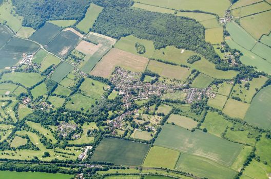

Kent villages, aerial view
Stock PhotoUsername
BasPhotoResolution
4928x3264pxKent villages, aerial view
Fort Halstead, Kent - aerial view
Stock PhotoUsername
BasPhotoResolution
4928x3264pxFort Halstead, Kent - aerial view

Orpington, Aerial view
Stock PhotoUsername
BasPhotoResolution
4928x3264pxOrpington, Aerial view

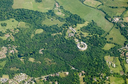
Holwood Estate, aerial view
Stock PhotoUsername
BasPhotoResolution
4928x3264pxHolwood Estate, aerial view
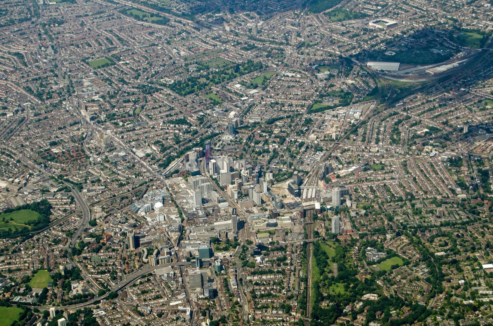
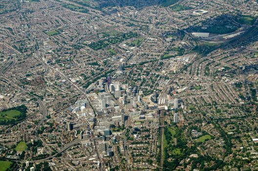
Croydon, Aerial View
Stock PhotoUsername
BasPhotoResolution
4928x3264pxCroydon, Aerial View

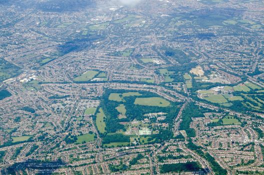
Bethlem Royal Hospital, aerial view
Stock PhotoUsername
BasPhotoResolution
4928x3264pxBethlem Royal Hospital, aerial view
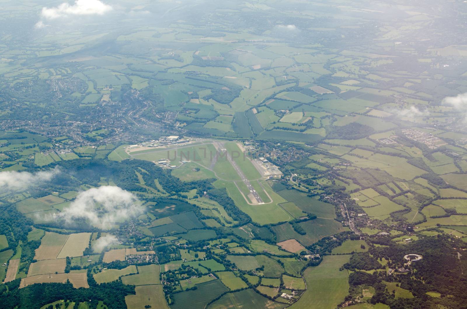
Biggin Hill Airport, aerial view
Stock PhotoUsername
BasPhotoResolution
4928x3264pxBiggin Hill Airport, aerial view

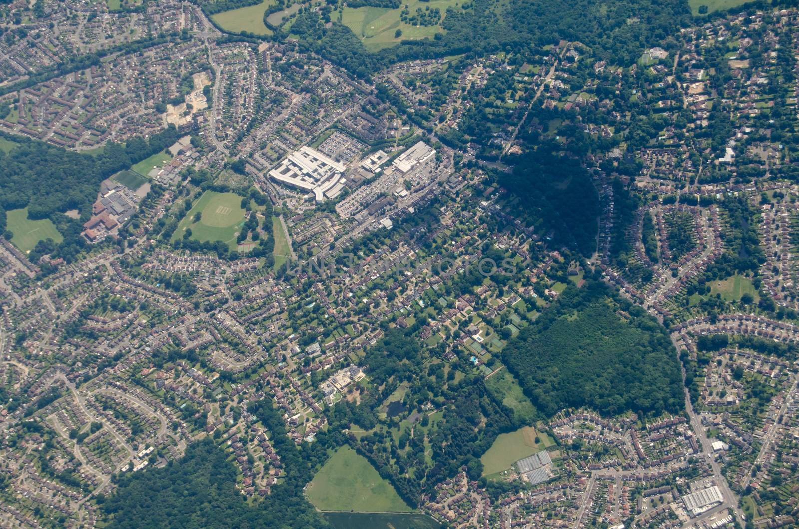
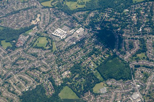
Princess Royal University Hospital, Bromley - aerial view
Stock PhotoUsername
BasPhotoResolution
4928x3264pxPrincess Royal University Hospital, Bromley - aerial view
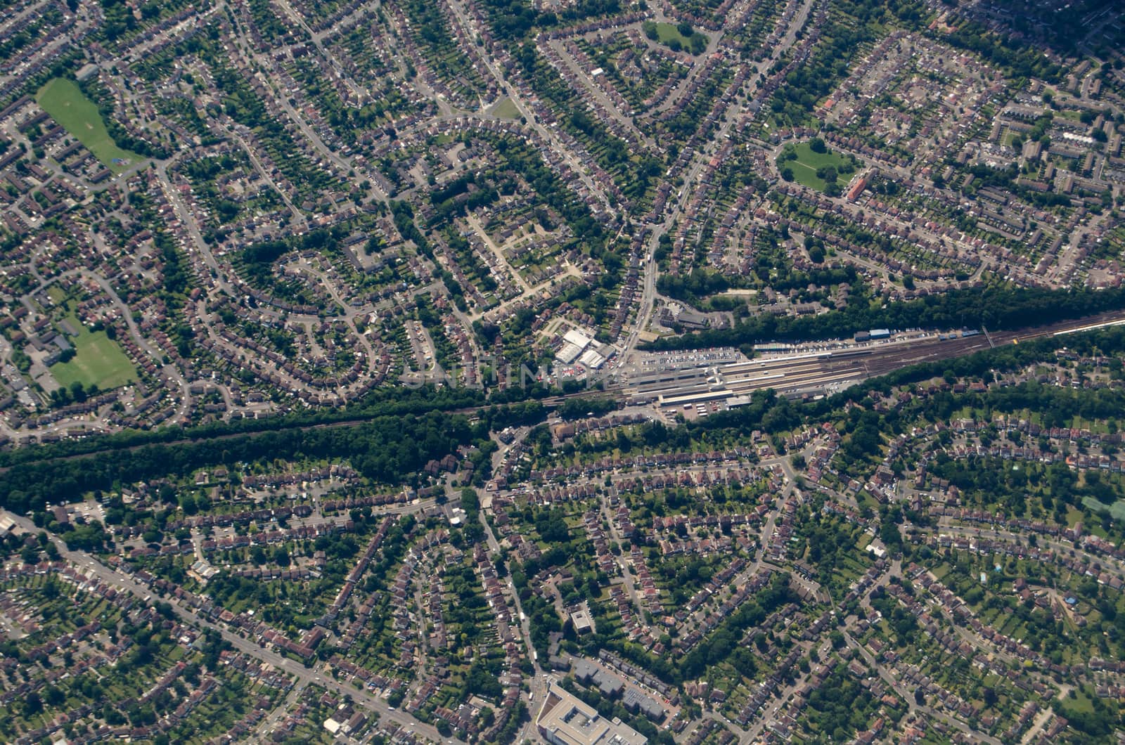
Orpington Railway Station, aerial view
Stock PhotoUsername
BasPhotoResolution
4928x3264pxOrpington Railway Station, aerial view


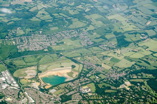
Sevenoaks Quarry, aerial view
Stock PhotoUsername
BasPhotoResolution
4928x3264pxSevenoaks Quarry, aerial view
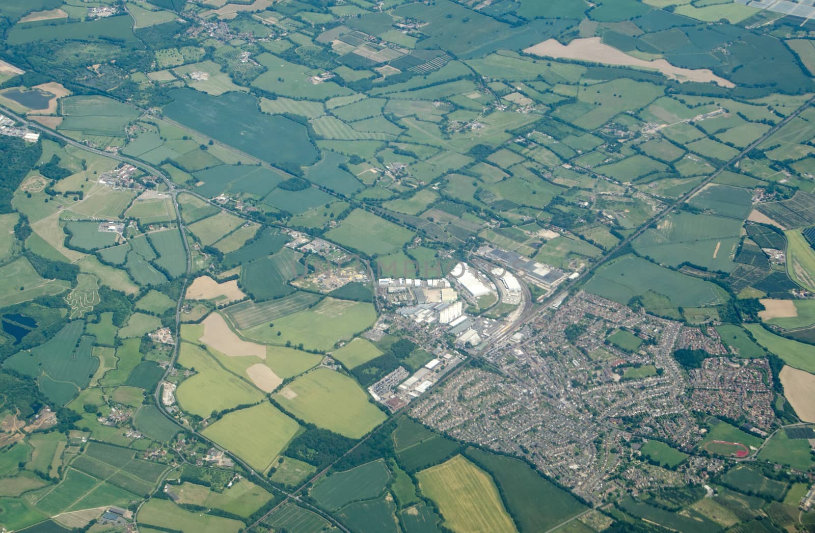
Paddock Wood, Kent - Aerial View
Stock PhotoUsername
BasPhotoResolution
4760x3112pxPaddock Wood, Kent - Aerial View


Jewellery making beads and tools
Stock PhotoUsername
BasPhotoResolution
4928x3264pxJewellery making beads and tools

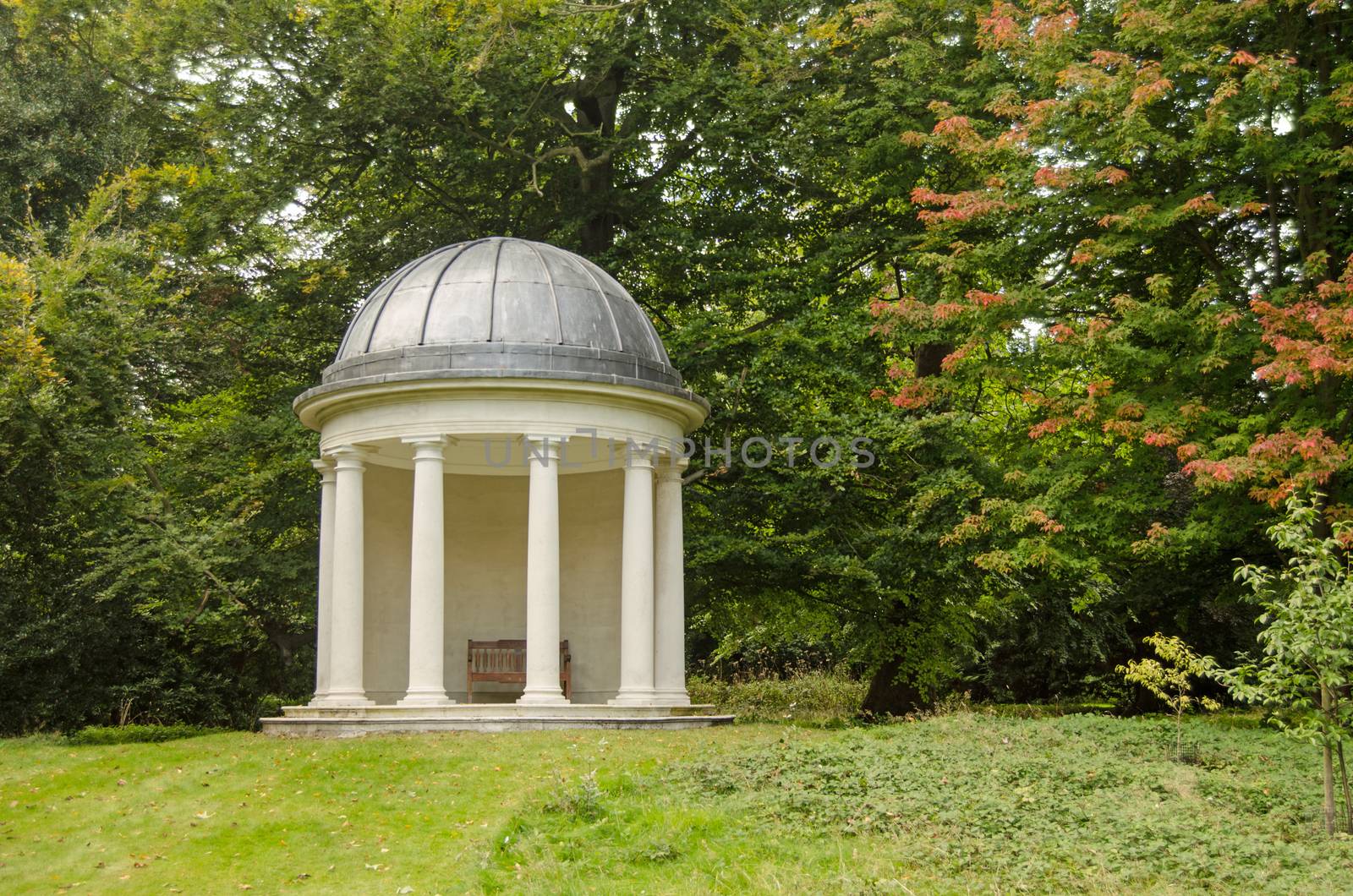
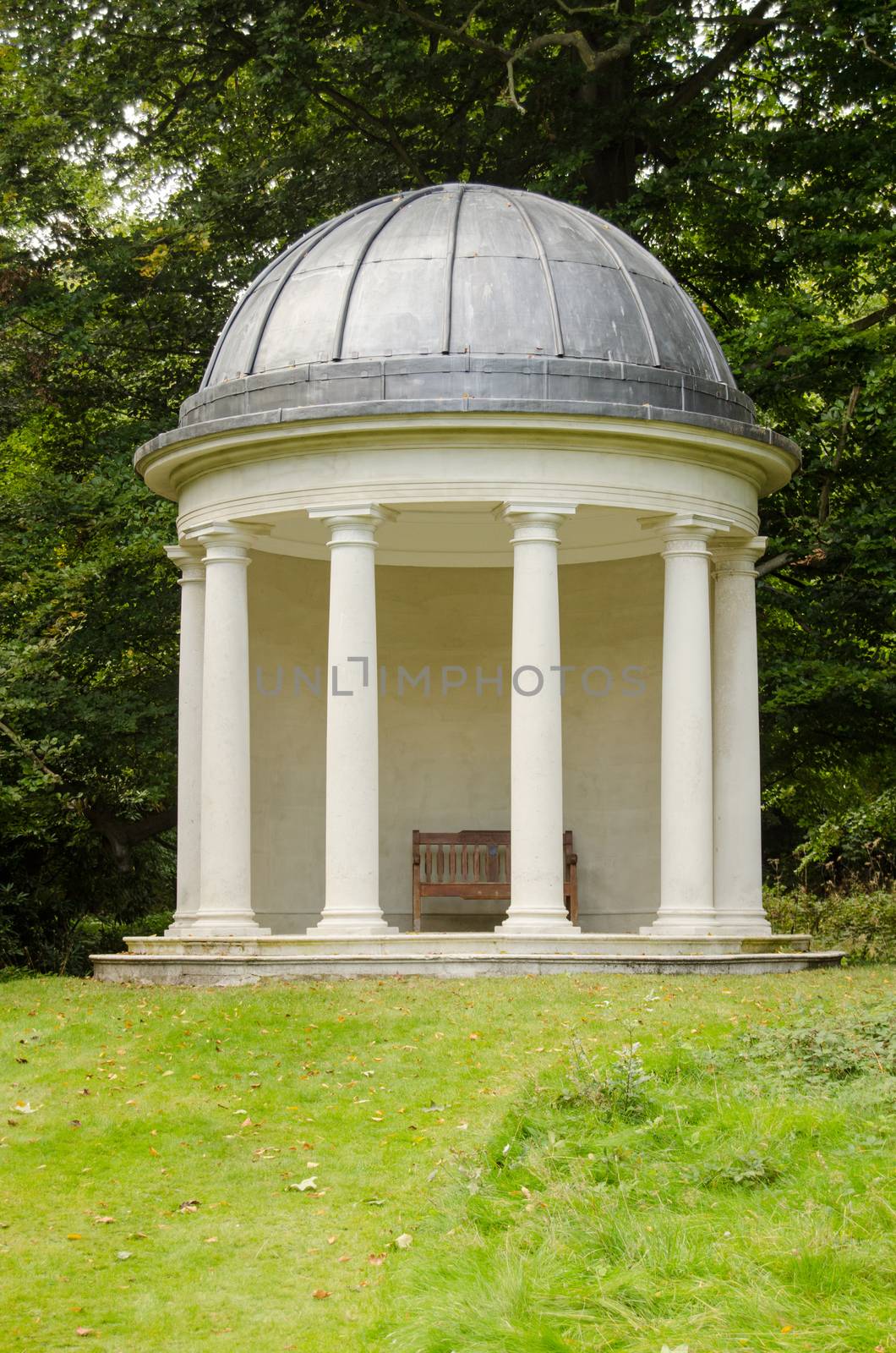
Classical Rotunda, Bushy Park, London
Stock PhotoUsername
BasPhotoResolution
4820x3192pxClassical Rotunda, Bushy Park, London

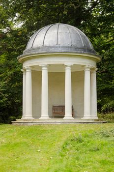
Historic Rotunda, Bushy House, London
Stock PhotoUsername
BasPhotoResolution
3208x4843pxHistoric Rotunda, Bushy House, London
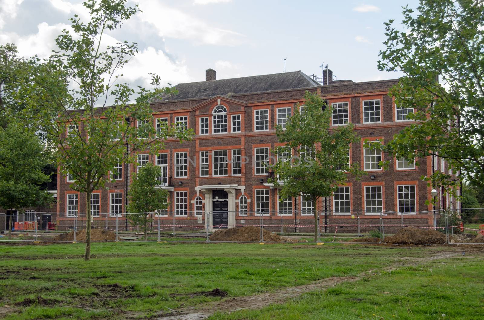
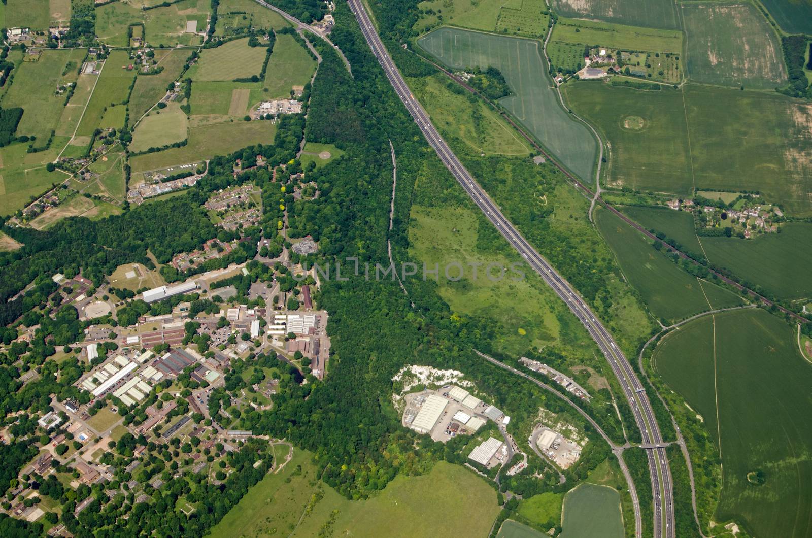
Historic building, National Physical Laboratory
Stock PhotoUsername
BasPhotoResolution
4928x3264pxHistoric building, National Physical Laboratory
