- Filter By:
-
-
Stock photos and images of username:RnDmS

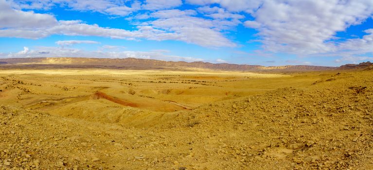
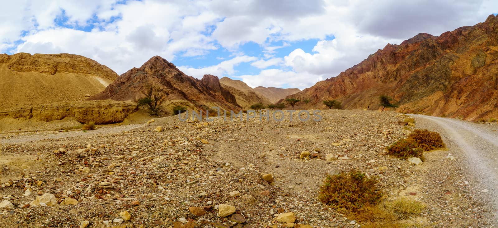
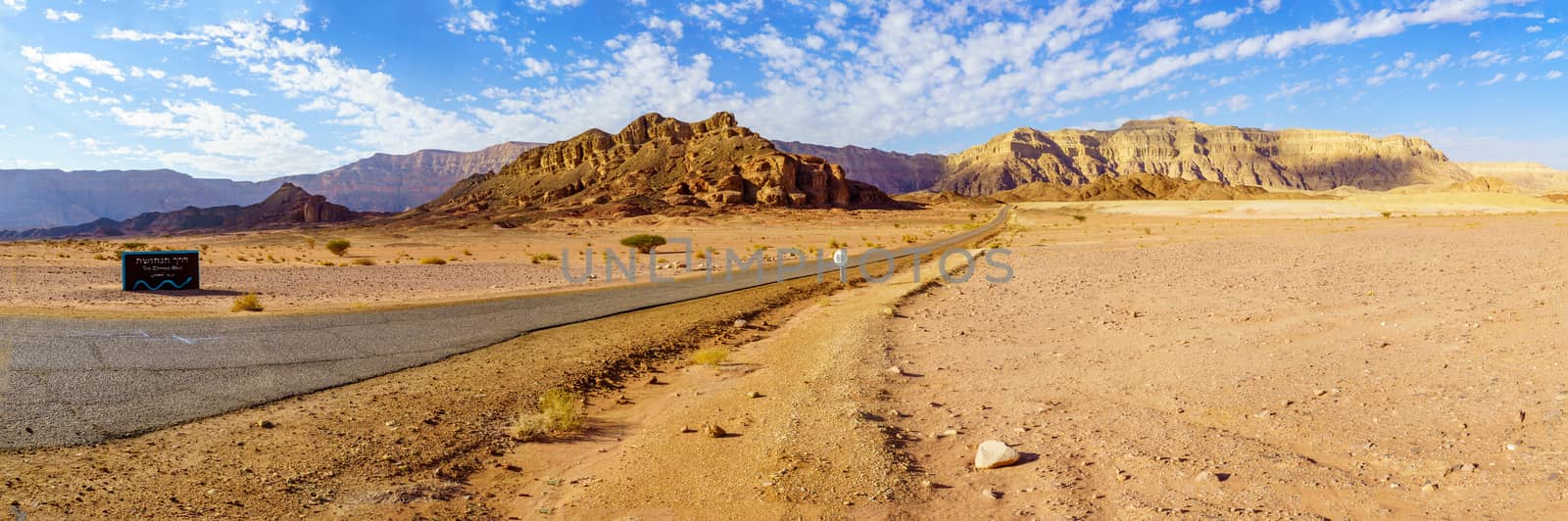
Panoramic view of Wadi Paran Nature reserve
Stock PhotoUsername
RnDmSResolution
11139x3142pxPanoramic view of Wadi Paran Nature reserve

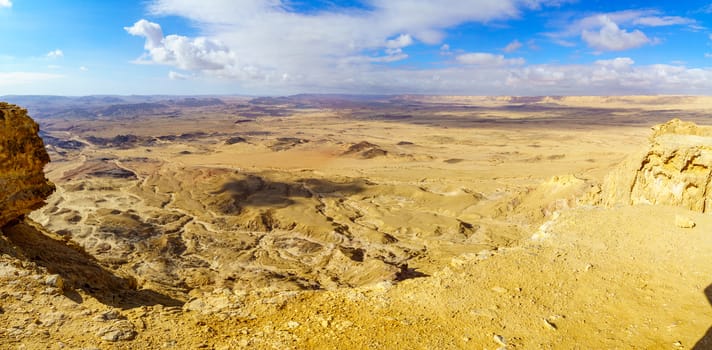
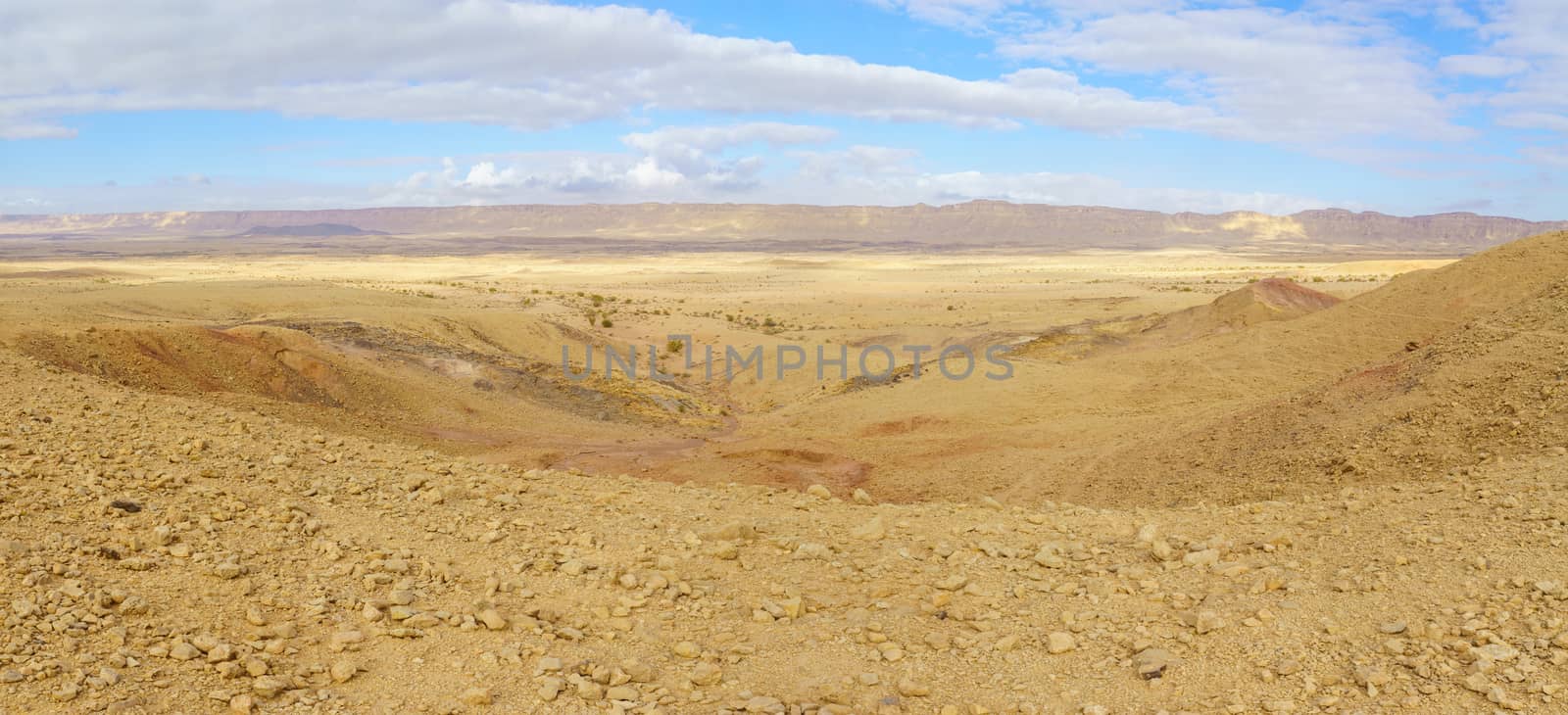
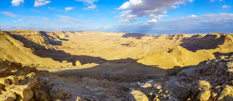
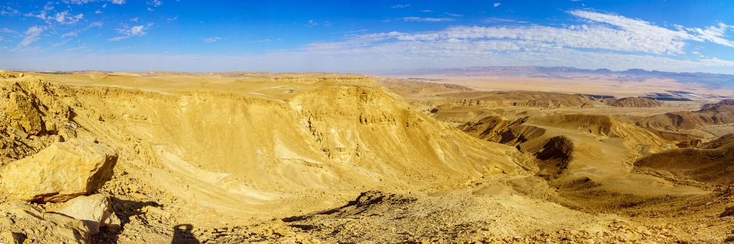
Panoramic landscape of Makhtesh (crater) Ramon
Stock PhotoUsername
RnDmSResolution
10537x3321pxPanoramic landscape of Makhtesh (crater) Ramon
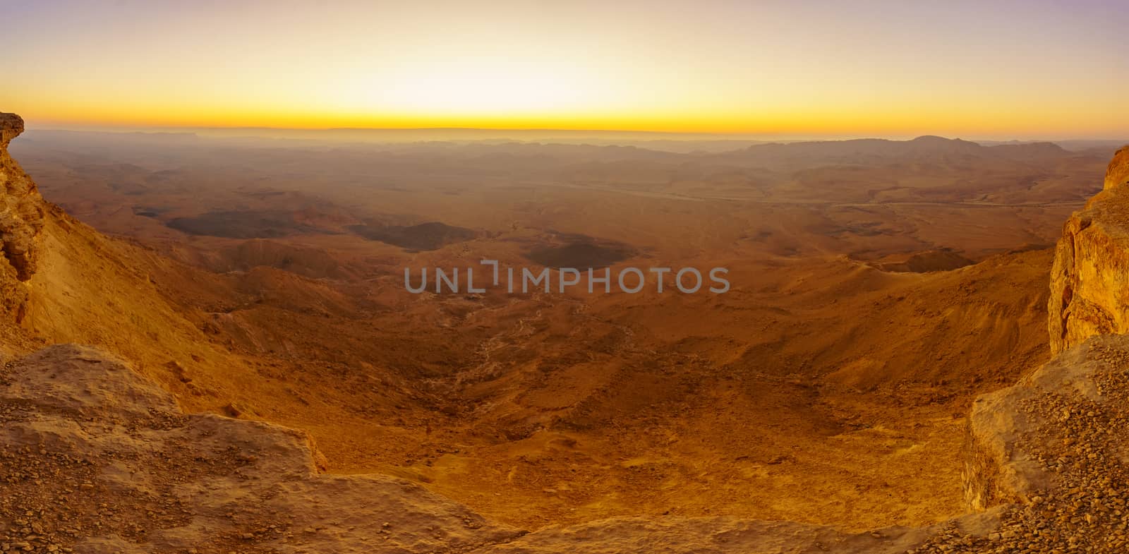
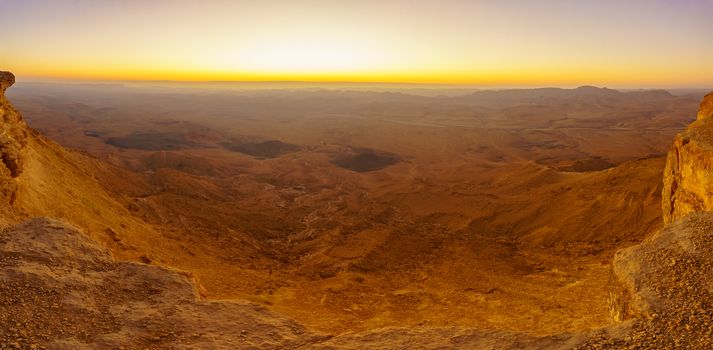
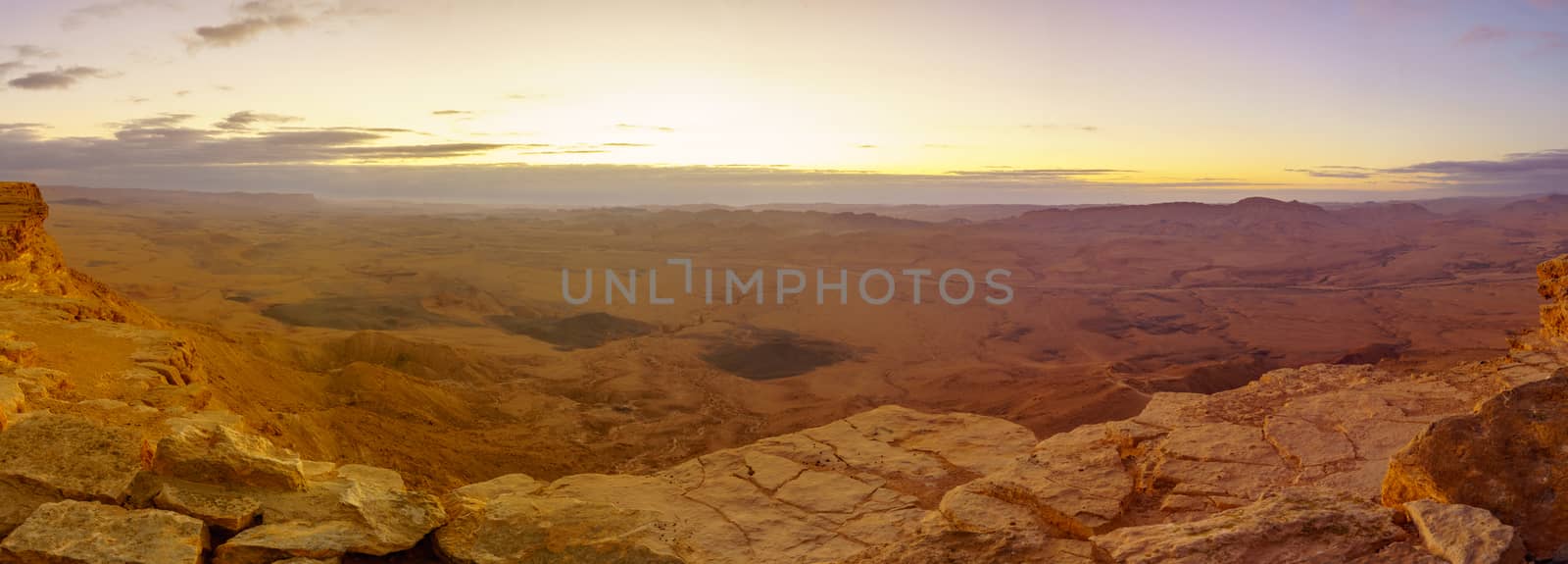
Panoramic sunrise view of Makhtesh (crater) Ramon
Stock PhotoUsername
RnDmSResolution
8448x4143pxPanoramic sunrise view of Makhtesh (crater) Ramon

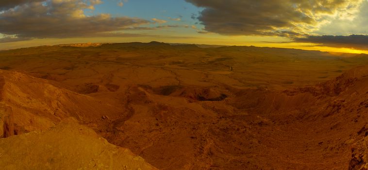
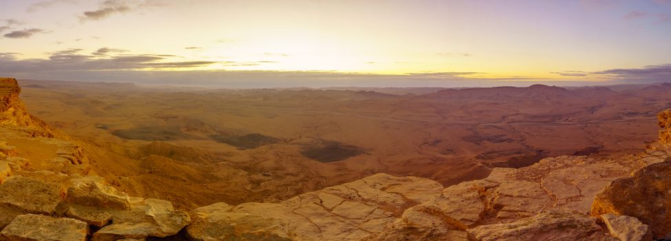
Panoramic sunset view of Makhtesh (crater) Ramon
Stock PhotoUsername
RnDmSResolution
8704x4021pxPanoramic sunset view of Makhtesh (crater) Ramon
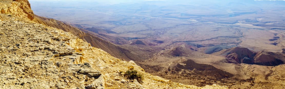
Cliffs of mount Ardon, part of Makhtesh (crater) Ramon
Stock PhotoUsername
RnDmSResolution
8412x4160pxCliffs of mount Ardon, part of Makhtesh (crater) Ramon

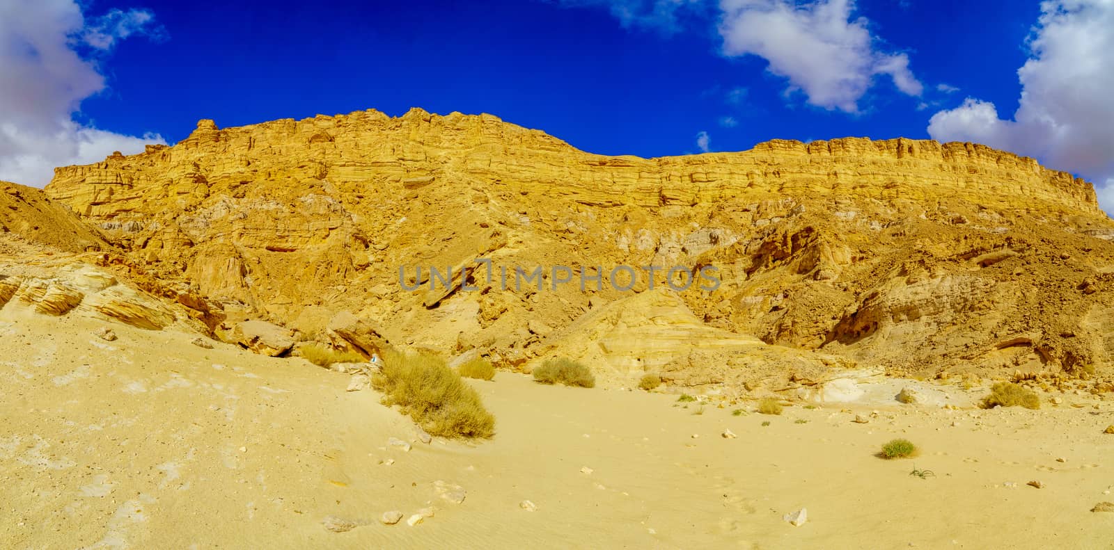
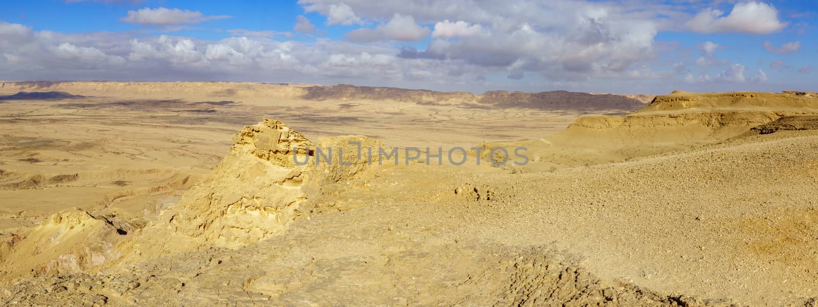
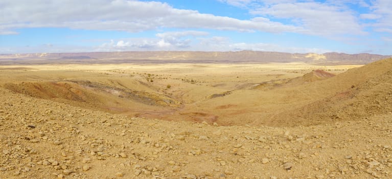
Panoramic landscape of Makhtesh (crater) Ramon (from mount Ardon
Stock PhotoUsername
RnDmSResolution
8439x4147pxPanoramic landscape of Makhtesh (crater) Ramon (from mount Ardon
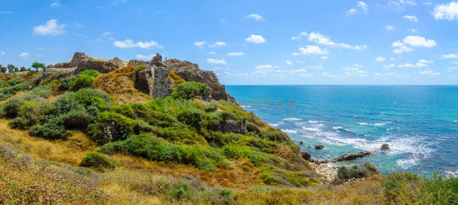
Crusader fortress, in Apollonia
Stock PhotoUsername
RnDmSResolution
8835x3961pxCrusader fortress, in Apollonia

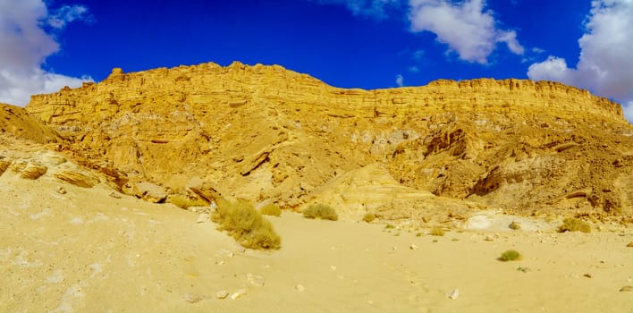
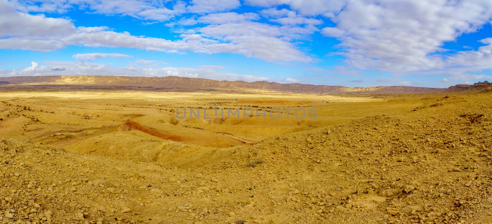
Panoramic landscape of Makhtesh (crater) Ramon (from mount Ardon
Stock PhotoUsername
RnDmSResolution
9661x3623pxPanoramic landscape of Makhtesh (crater) Ramon (from mount Ardon

Panoramic landscape of Makhtesh (crater) Ramon (from mount Ardon
Stock PhotoUsername
RnDmSResolution
8756x3997pxPanoramic landscape of Makhtesh (crater) Ramon (from mount Ardon

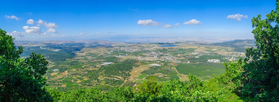
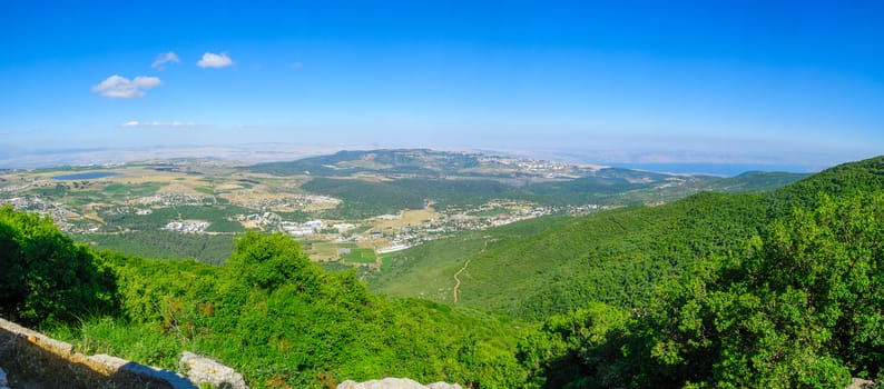
Panoramic landscape from Mount Meron in the upper Galilee
Stock PhotoUsername
RnDmSResolution
9794x3573pxPanoramic landscape from Mount Meron in the upper Galilee
Panoramic landscape of Makhtesh (crater) Ramon (from mount Ardon
Stock PhotoUsername
RnDmSResolution
8756x3997pxPanoramic landscape of Makhtesh (crater) Ramon (from mount Ardon

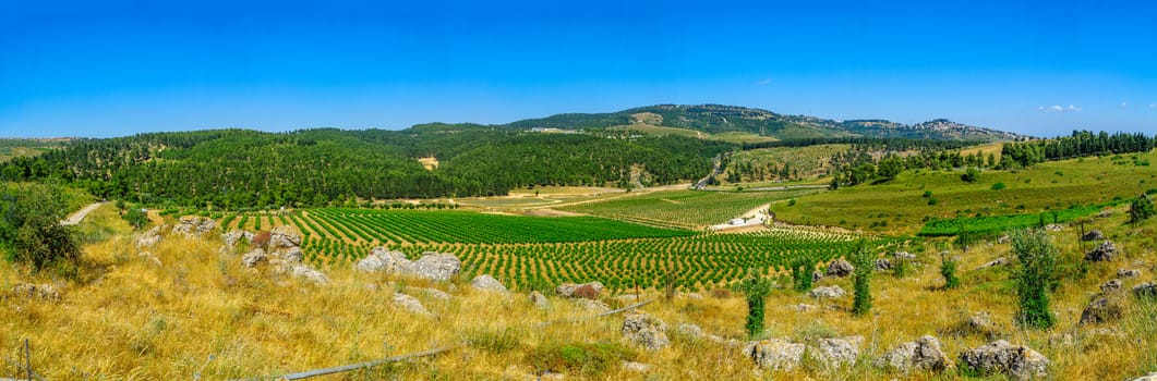
Panoramic landscape from Mount Meron in the upper Galilee
Stock PhotoUsername
RnDmSResolution
8392x3698pxPanoramic landscape from Mount Meron in the upper Galilee
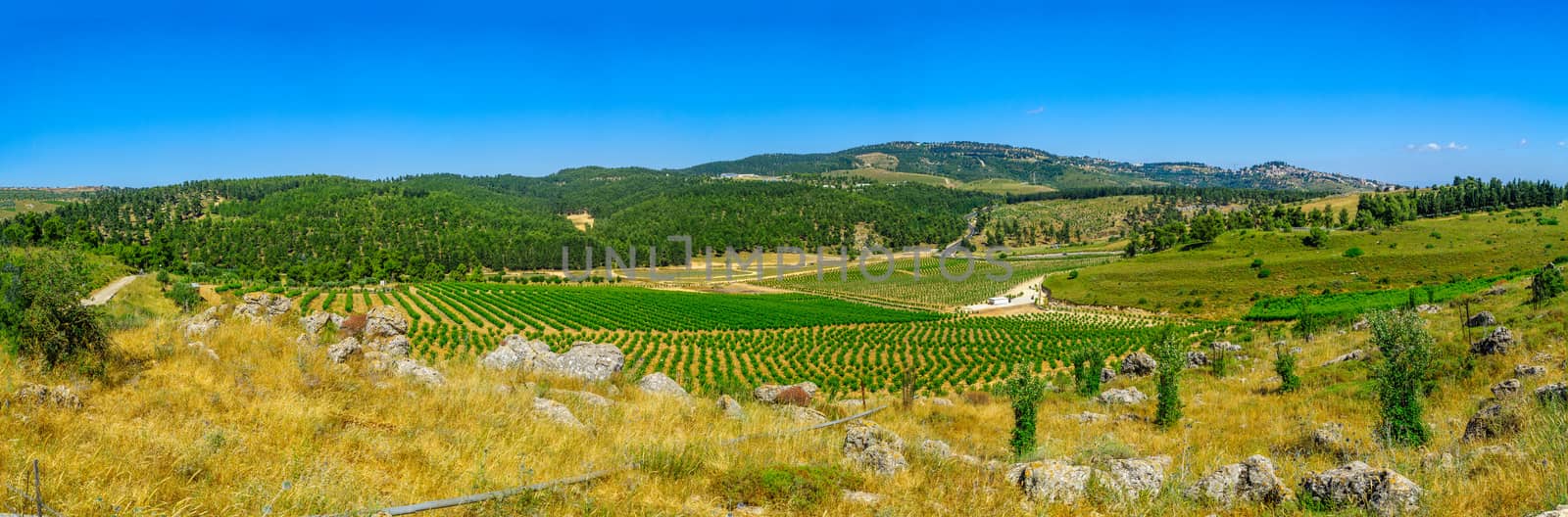
Panoramic landscape of countryside in Meron, upper Galilee
Stock PhotoUsername
RnDmSResolution
10303x3397pxPanoramic landscape of countryside in Meron, upper Galilee

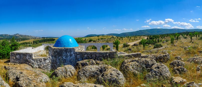
Elkana Avi Shmuel Tomb (the father of the prophet Samuel)
Stock PhotoUsername
RnDmSResolution
8980x3897pxElkana Avi Shmuel Tomb (the father of the prophet Samuel)
Panoramic sunrise view of Makhtesh (crater) Ramon
Stock PhotoUsername
RnDmSResolution
9865x3548pxPanoramic sunrise view of Makhtesh (crater) Ramon

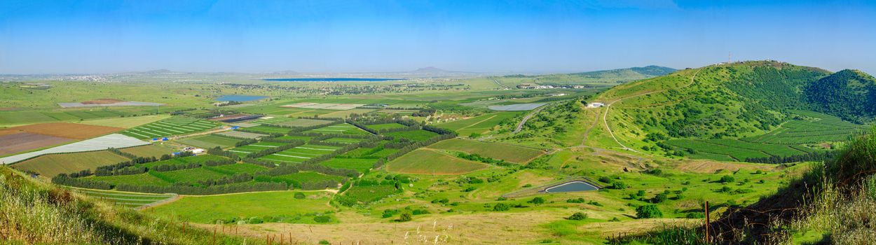
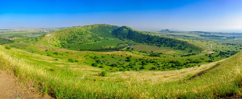
Panoramic view of the Golan Heights landscape from Mount Bental
Stock PhotoUsername
RnDmSResolution
11177x3131pxPanoramic view of the Golan Heights landscape from Mount Bental
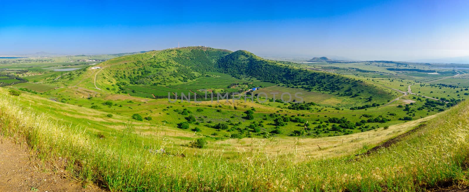
Panoramic view of the Golan Heights landscape from Mount Bental
Stock PhotoUsername
RnDmSResolution
9224x3794pxPanoramic view of the Golan Heights landscape from Mount Bental
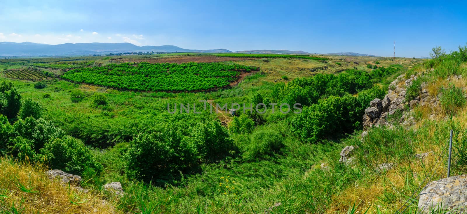
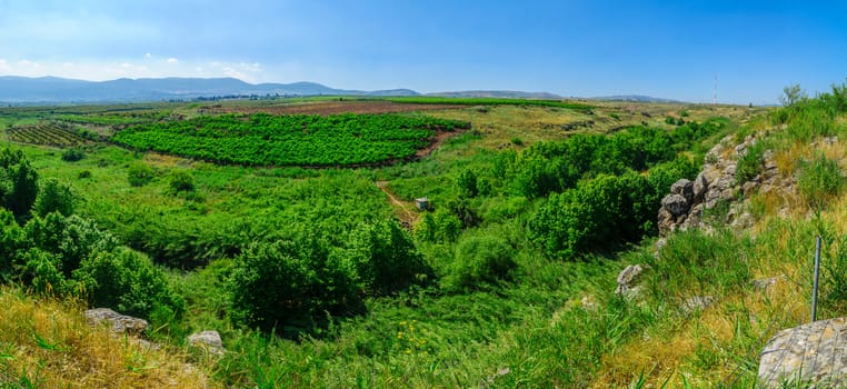
Panorama of Zavitan Stream, in Yehudiya Forest Nature Reserve
Stock PhotoUsername
RnDmSResolution
8467x4133pxPanorama of Zavitan Stream, in Yehudiya Forest Nature Reserve

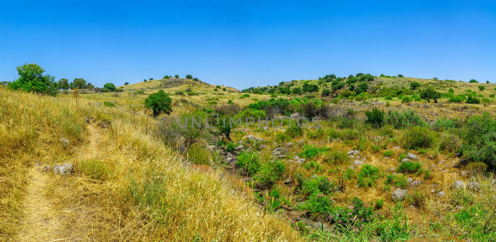
Panoramic landscape of the Snir Stream (Hasbani River) Nature Re
Stock PhotoUsername
RnDmSResolution
8727x4010pxPanoramic landscape of the Snir Stream (Hasbani River) Nature Re
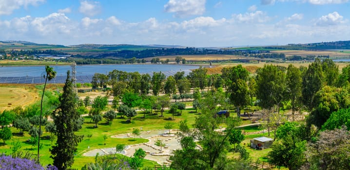
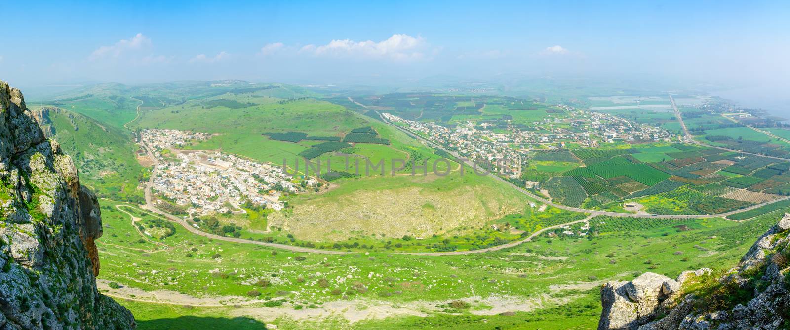
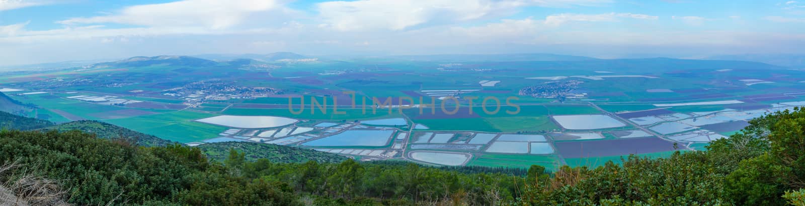
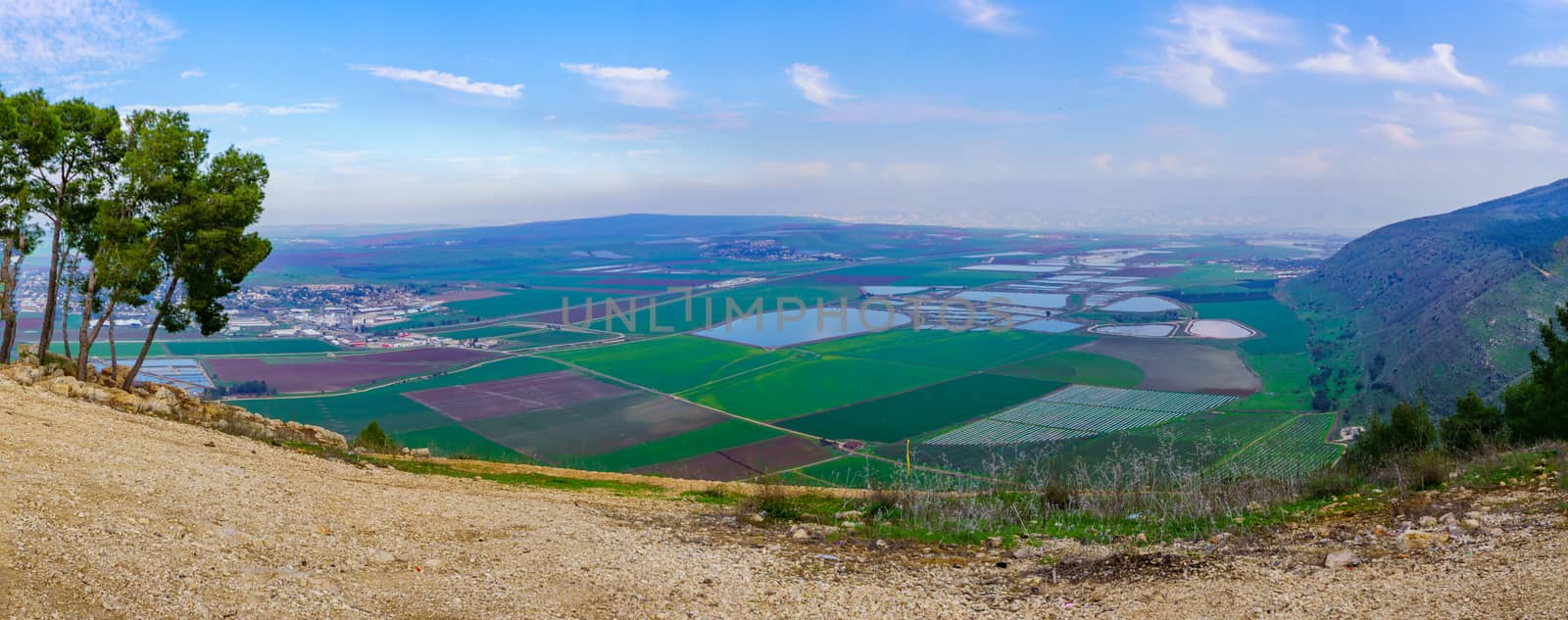
Panoramic landscape of Harod Valley and the Jezreel Valley
Stock PhotoUsername
RnDmSResolution
8471x4132pxPanoramic landscape of Harod Valley and the Jezreel Valley
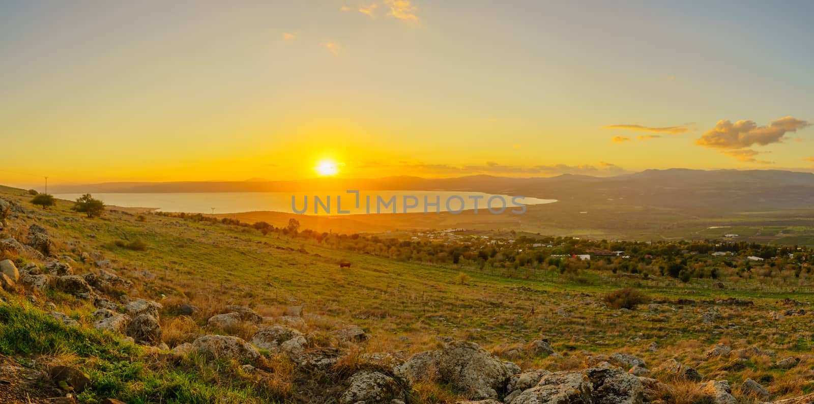
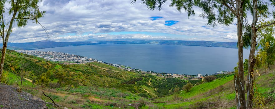
Sunset view from the north of the Sea of Galilee
Stock PhotoUsername
RnDmSResolution
8399x4167pxSunset view from the north of the Sea of Galilee


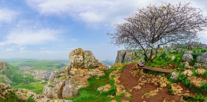
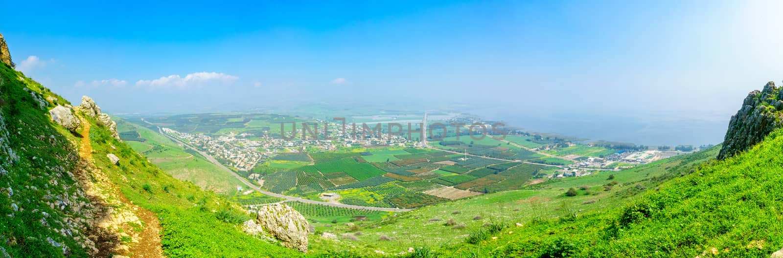
Panoramic landscape view form Mount Arbel
Stock PhotoUsername
RnDmSResolution
8418x4157pxPanoramic landscape view form Mount Arbel
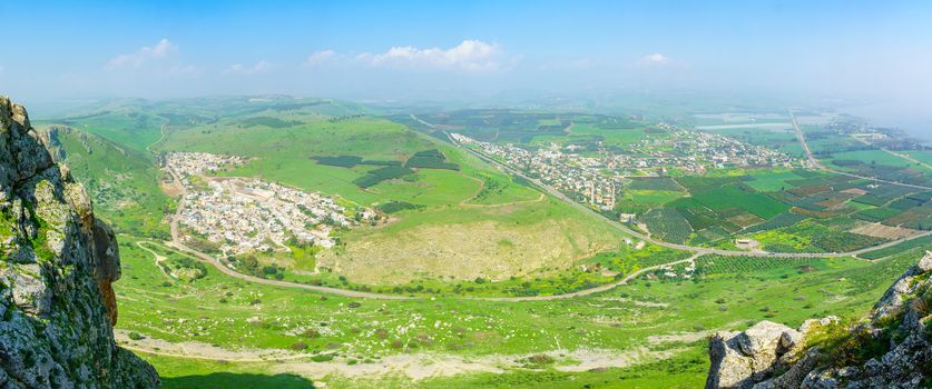
Panoramic landscape view from Mount Arbe
Stock PhotoUsername
RnDmSResolution
10302x3397pxPanoramic landscape view from Mount Arbe

Panoramic landscape view form Mount Arbel
Stock PhotoUsername
RnDmSResolution
9149x3824pxPanoramic landscape view form Mount Arbel

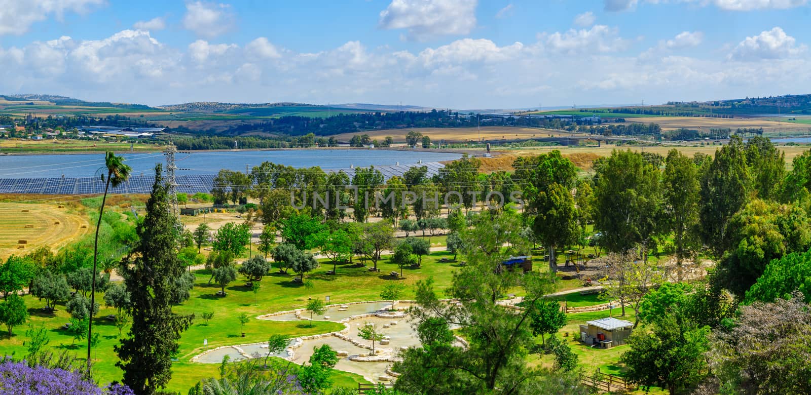
Panoramic landscape of the Jezreel Valley
Stock PhotoUsername
RnDmSResolution
9705x3605pxPanoramic landscape of the Jezreel Valley
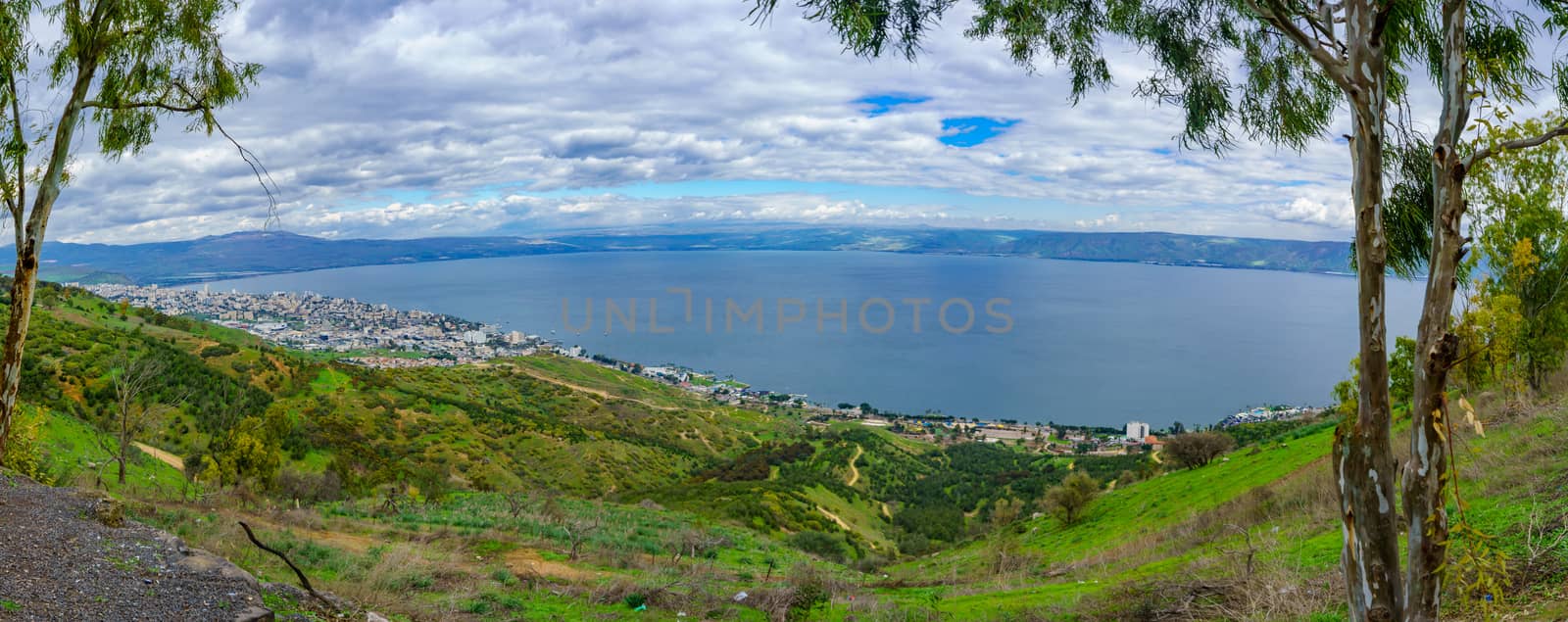
Panoramic view of the Sea of Galilee
Stock PhotoUsername
RnDmSResolution
9386x3728pxPanoramic view of the Sea of Galilee

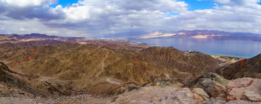
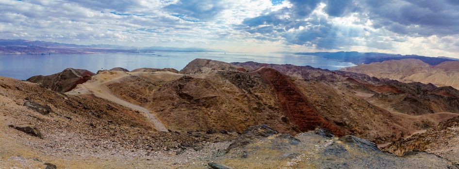
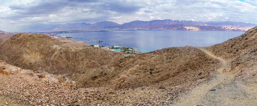
Mount Tzfahot and the gulf of Aqaba
Stock PhotoUsername
RnDmSResolution
9371x3734pxMount Tzfahot and the gulf of Aqaba
Panorama of landscape and countryside in the eastern Jezreel Val
Stock PhotoUsername
RnDmSResolution
11667x3000pxPanorama of landscape and countryside in the eastern Jezreel Val

Panorama of landscape and countryside in the eastern Jezreel Val
Stock PhotoUsername
RnDmSResolution
9409x3720pxPanorama of landscape and countryside in the eastern Jezreel Val


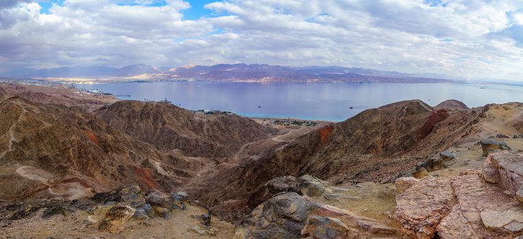
Mount Tzfahot and the gulf of Aqaba
Stock PhotoUsername
RnDmSResolution
9722x3599pxMount Tzfahot and the gulf of Aqaba

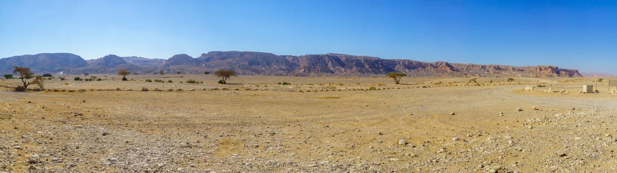
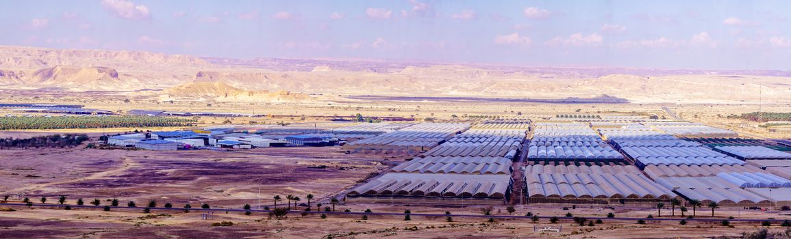
Countryside and desert landscape in Moshav Paran
Stock PhotoUsername
RnDmSResolution
10746x3256pxCountryside and desert landscape in Moshav Paran
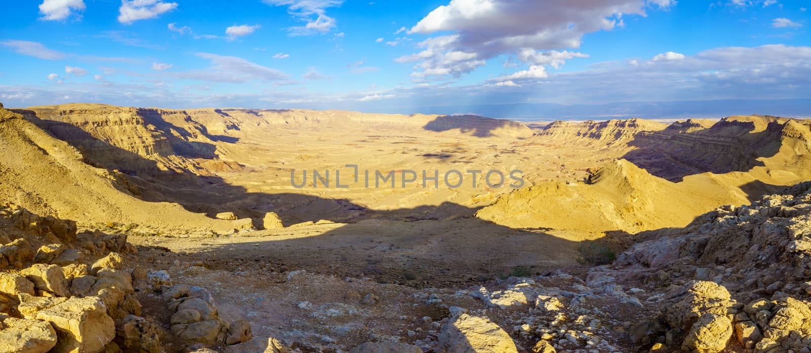
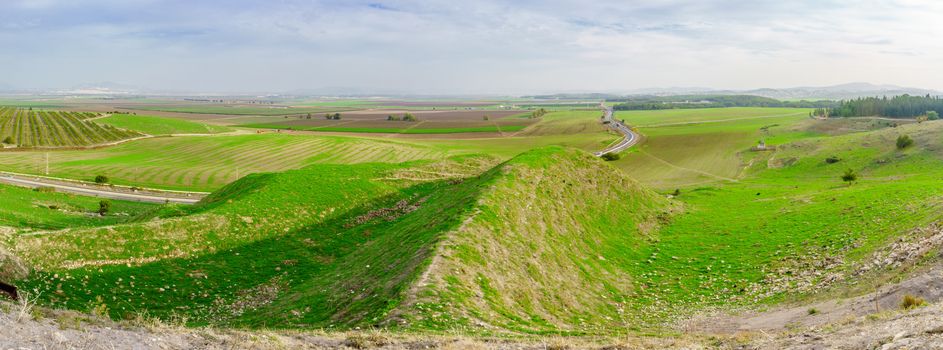
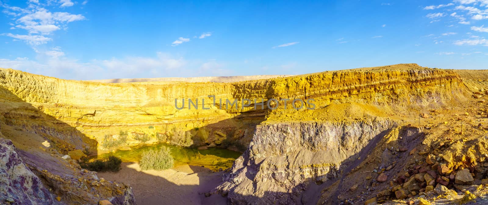
Panoramic view of HaMakhtesh HaKatan (small crater)
Stock PhotoUsername
RnDmSResolution
8965x3903pxPanoramic view of HaMakhtesh HaKatan (small crater)

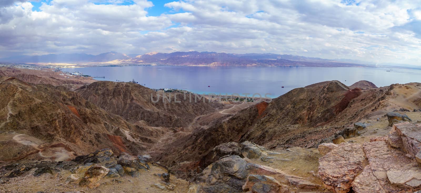
Mount Tzfahot and the gulf of Aqaba
Stock PhotoUsername
RnDmSResolution
9188x3810pxMount Tzfahot and the gulf of Aqaba
Mount Tzfahot and the gulf of Aqaba
Stock PhotoUsername
RnDmSResolution
8735x4006pxMount Tzfahot and the gulf of Aqaba
Nahal Shlomo (desert valley). Eilat Mountains
Stock PhotoUsername
RnDmSResolution
8732x4008pxNahal Shlomo (desert valley). Eilat Mountains


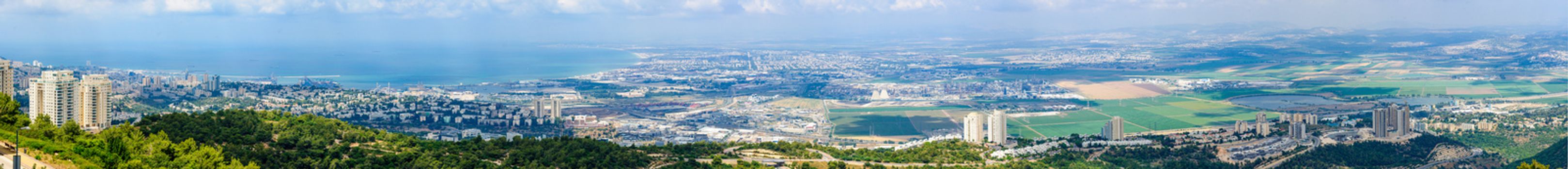
Panoramic view of the bay of Haifa
Stock PhotoUsername
RnDmSResolution
17995x1945pxPanoramic view of the bay of Haifa

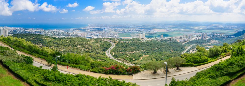
Panoramic view of the bay of Haifa
Stock PhotoUsername
RnDmSResolution
9370x3286pxPanoramic view of the bay of Haifa

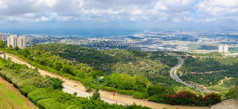
Panoramic view of the bay of Haifa
Stock PhotoUsername
RnDmSResolution
8020x3674pxPanoramic view of the bay of Haifa
Landscape and the Copper Road, in the Timna Valley
Stock PhotoUsername
RnDmSResolution
10262x3410pxLandscape and the Copper Road, in the Timna Valley


Arava desert from mount Ayit lookout
Stock PhotoUsername
RnDmSResolution
9602x3645pxArava desert from mount Ayit lookout
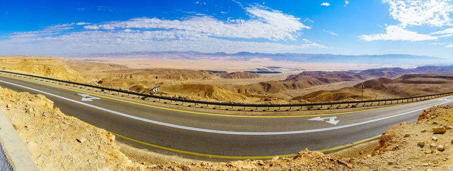

Arava desert from mount Ayit lookout
Stock PhotoUsername
RnDmSResolution
10263x3410pxArava desert from mount Ayit lookout
Ramon Colors Route, in Makhtesh Ramon (Ramon Crater)
Stock PhotoUsername
RnDmSResolution
9125x3835pxRamon Colors Route, in Makhtesh Ramon (Ramon Crater)

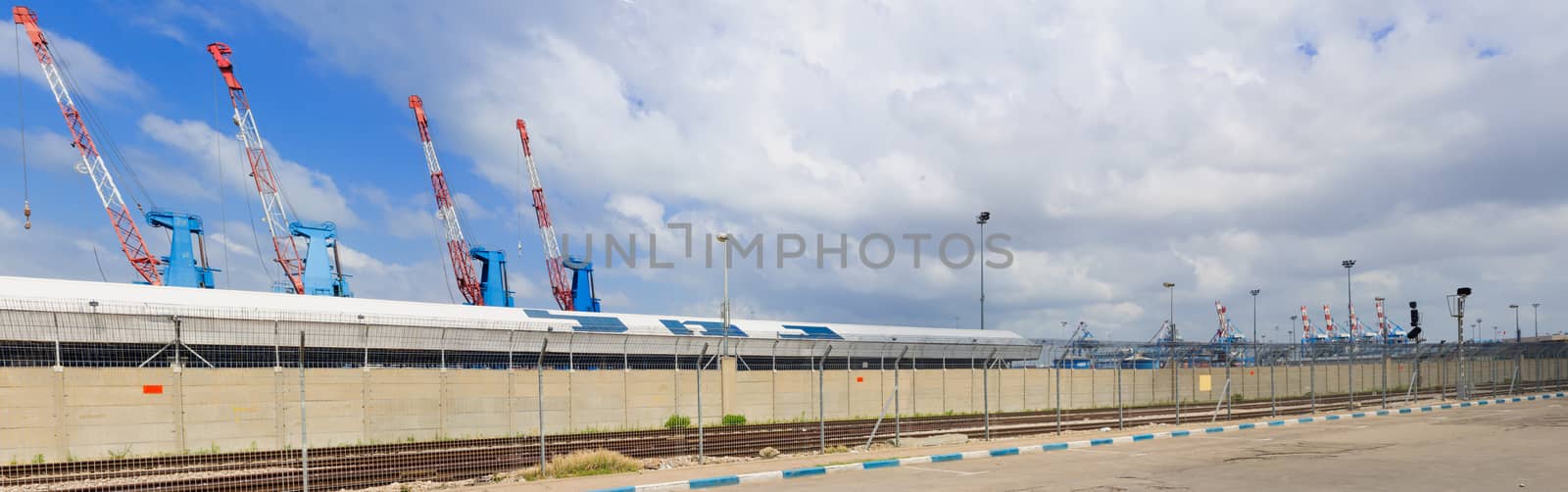
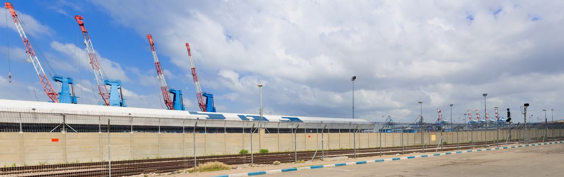
Haifa Port
Stock PhotoUsername
RnDmSResolution
10557x3315pxHaifa Port
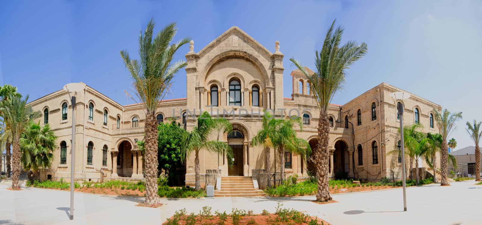
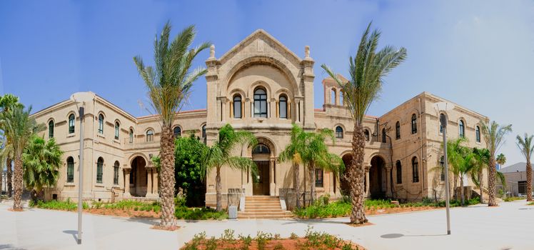
Carmelite monastery, Haifa
Stock PhotoUsername
RnDmSResolution
7522x3519pxCarmelite monastery, Haifa

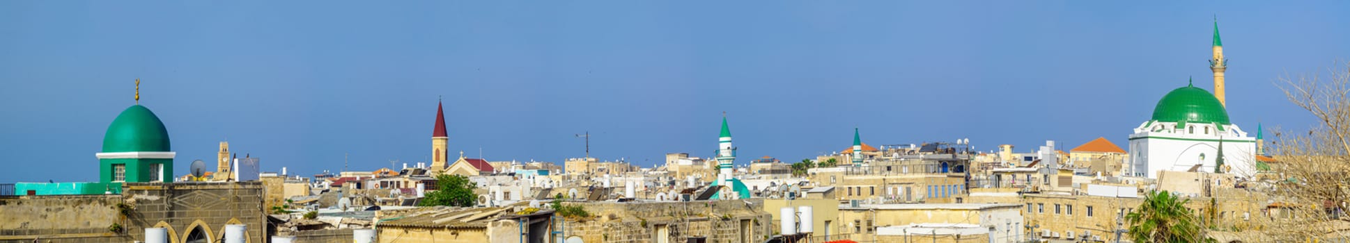
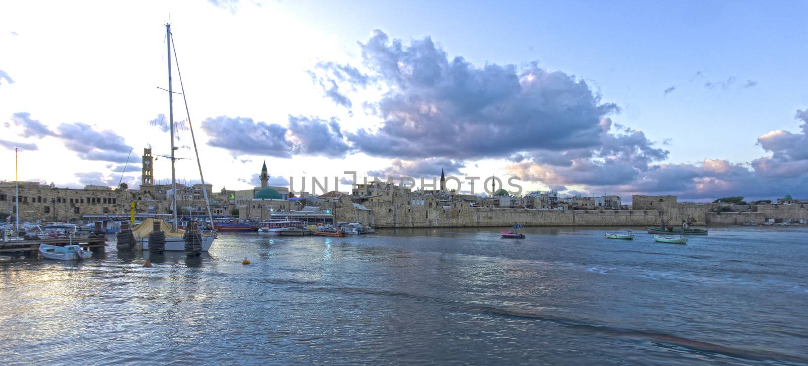
Rooftop view of Acre (Akko)
Stock PhotoUsername
RnDmSResolution
13923x2514pxRooftop view of Acre (Akko)

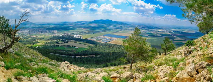
Jezreel Valley landscape, viewed from Mount Precipice
Stock PhotoUsername
RnDmSResolution
9488x3689pxJezreel Valley landscape, viewed from Mount Precipice
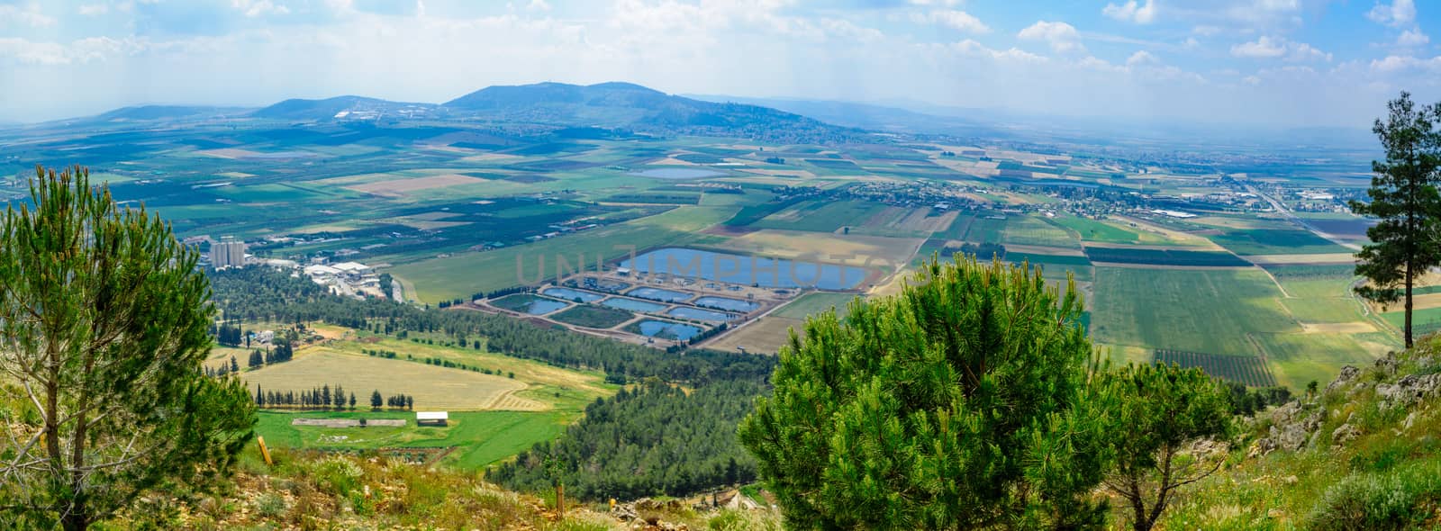
Jezreel Valley landscape, viewed from Mount Precipice
Stock PhotoUsername
RnDmSResolution
9742x3592pxJezreel Valley landscape, viewed from Mount Precipice

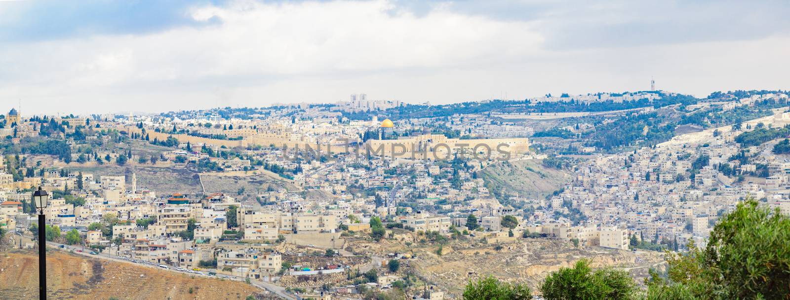
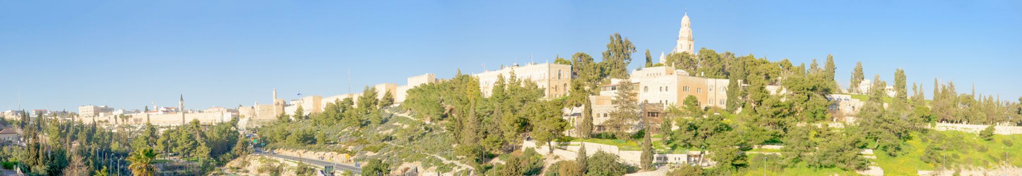
The Old City of Jerusalem
Stock PhotoUsername
RnDmSResolution
9592x3649pxThe Old City of Jerusalem

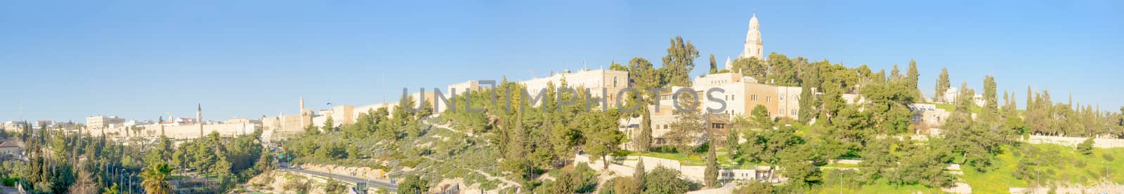
Jerusalem old city and Mount Zion
Stock PhotoUsername
RnDmSResolution
14207x2463pxJerusalem old city and Mount Zion
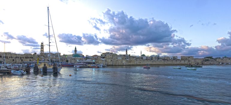
Acre Sea Wall
Stock PhotoUsername
RnDmSResolution
4125x1871pxAcre Sea Wall