- Filter By:
-
-
Stock photos and images of username:dpreezg

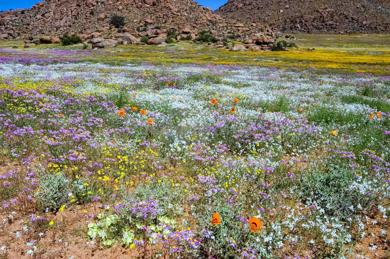
Wild flowers on a slope with mountain backdrop at Goegap
Stock PhotoUsername
dpreezgResolution
3008x2000pxWild flowers on a slope with mountain backdrop at Goegap

Wild flowers with a mountain backdrop at Goegap
Stock PhotoUsername
dpreezgResolution
3008x2000pxWild flowers with a mountain backdrop at Goegap

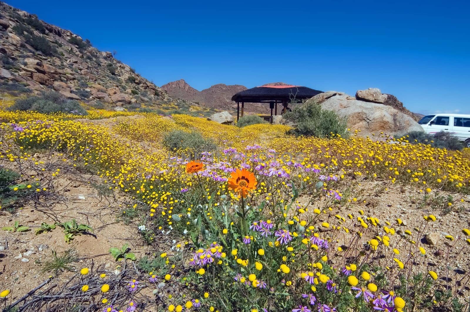
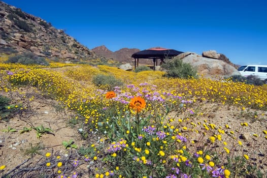
Wild flowers, a picnic site and a car in the Goegap Nature Reserve
Stock PhotoUsername
dpreezgResolution
3008x2000pxWild flowers, a picnic site and a car in the Goegap Nature Reserve

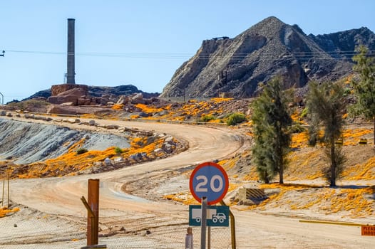
Wild flowers, smoke stack and mine dump in Nababeep
Stock PhotoUsername
dpreezgResolution
3008x2000pxWild flowers, smoke stack and mine dump in Nababeep
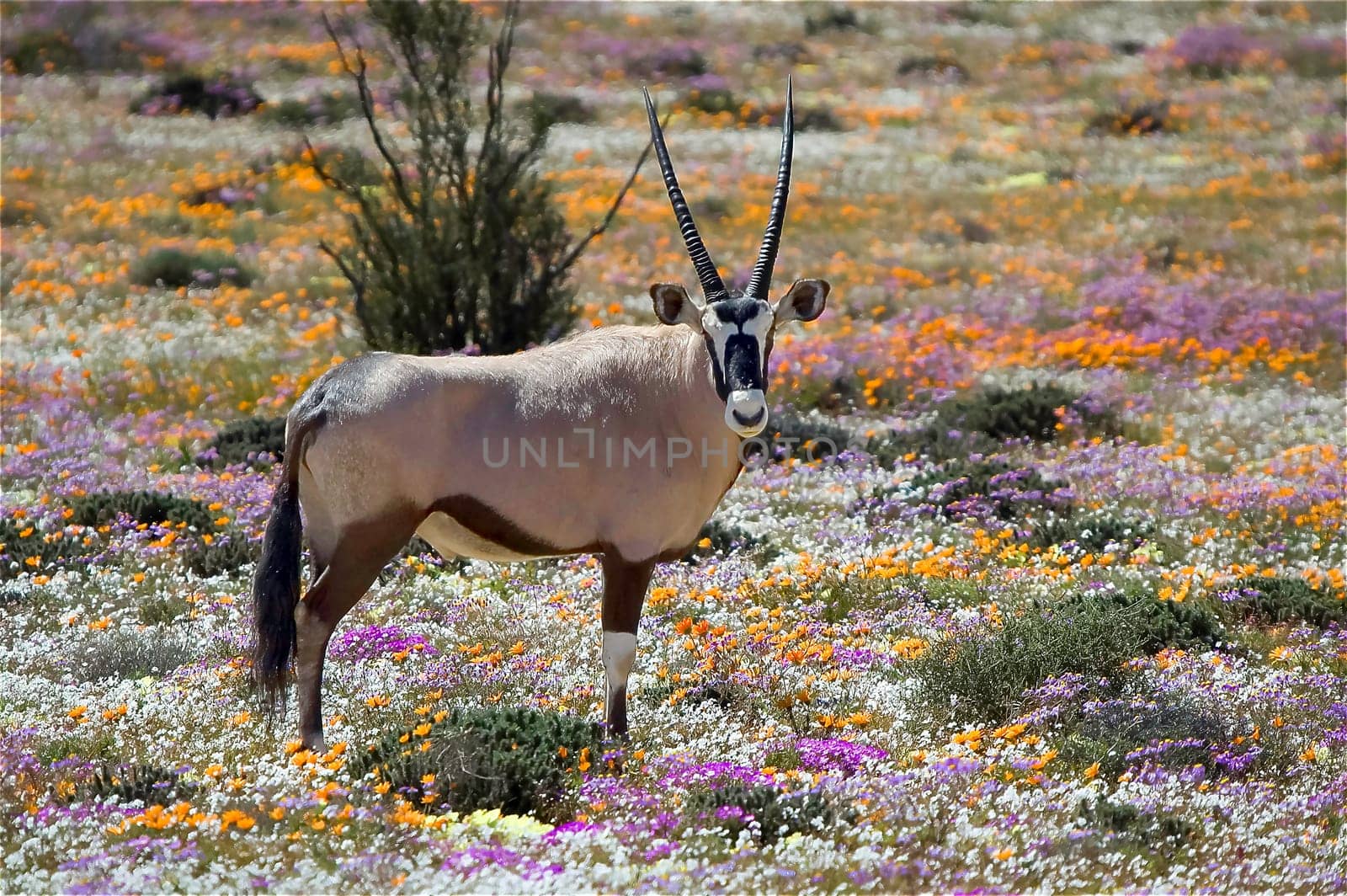
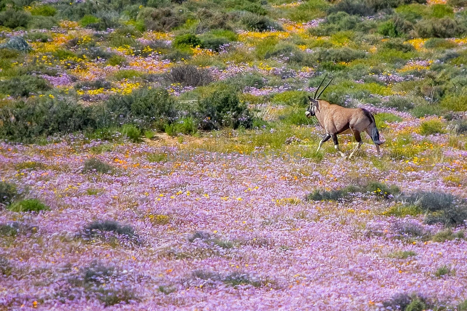
Oryx between wild flowers at the Goegap Nature Reserve
Stock PhotoUsername
dpreezgResolution
3610x2400pxOryx between wild flowers at the Goegap Nature Reserve


Oryx between wild flowers at the Goegap Nature Reserve
Stock PhotoUsername
dpreezgResolution
3008x2000pxOryx between wild flowers at the Goegap Nature Reserve


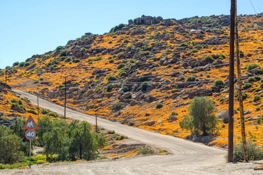
Gravel road in Nababeep with orange wild flower backdrop
Stock PhotoUsername
dpreezgResolution
3008x2000pxGravel road in Nababeep with orange wild flower backdrop
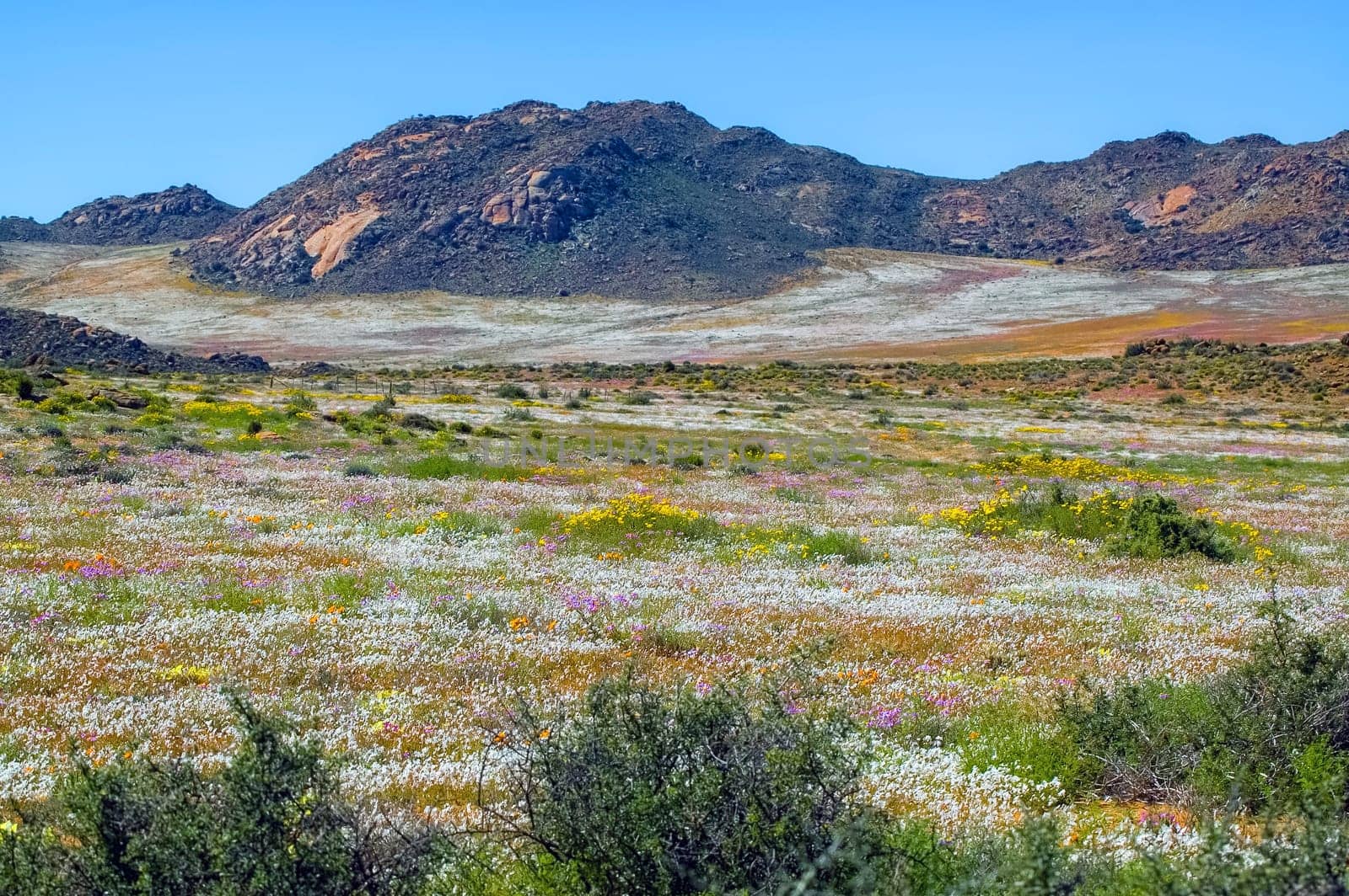
Fields of wild flowers with a mountain backdrop, at Goegap
Stock PhotoUsername
dpreezgResolution
3008x2000pxFields of wild flowers with a mountain backdrop, at Goegap

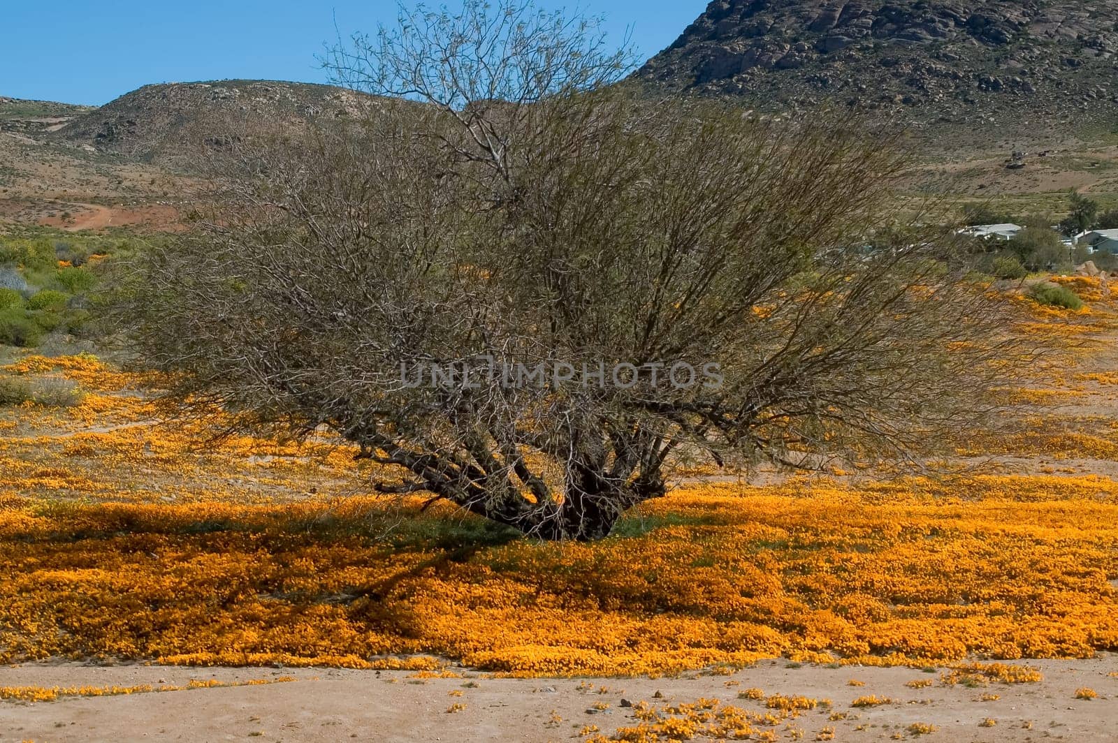
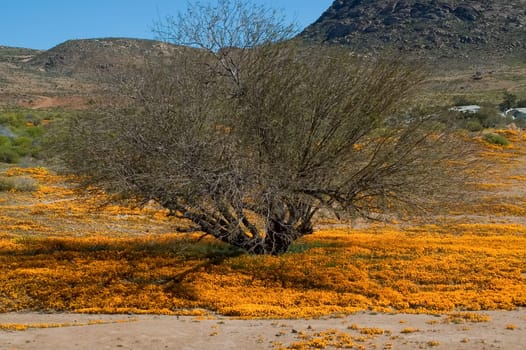
Field of orange daisies surrounds a small tree in Nababeep
Stock PhotoUsername
dpreezgResolution
3008x2000pxField of orange daisies surrounds a small tree in Nababeep
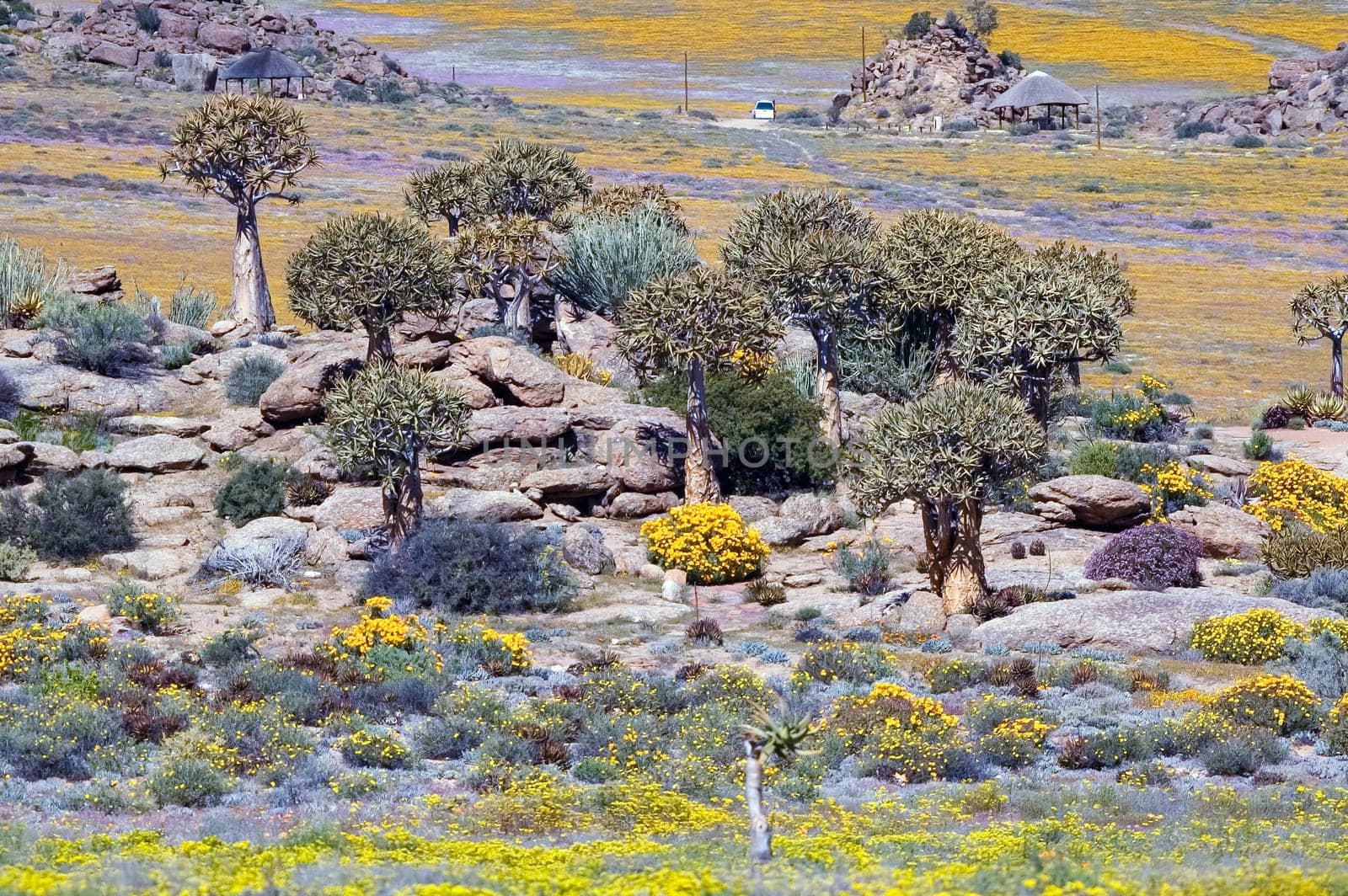
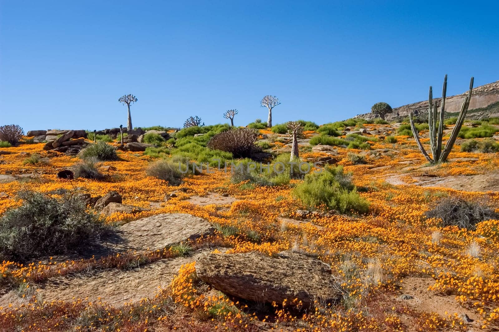
Quiver trees surrounded by wild flowers at Goegap Nature Reserve
Stock PhotoUsername
dpreezgResolution
3008x2000pxQuiver trees surrounded by wild flowers at Goegap Nature Reserve

Fields of wild flowers with a mountain backdrop, at Goegap
Stock PhotoUsername
dpreezgResolution
3008x2000pxFields of wild flowers with a mountain backdrop, at Goegap

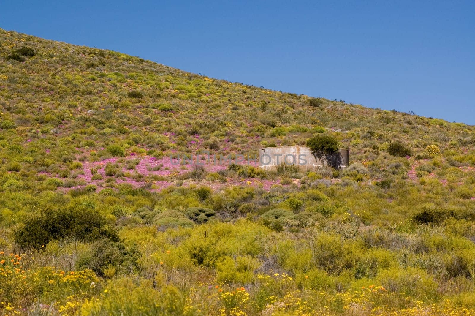
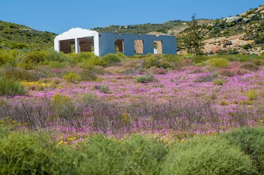
Concrete dam on slope of a hill, between pink wild flowers
Stock PhotoUsername
dpreezgResolution
3008x2000pxConcrete dam on slope of a hill, between pink wild flowers

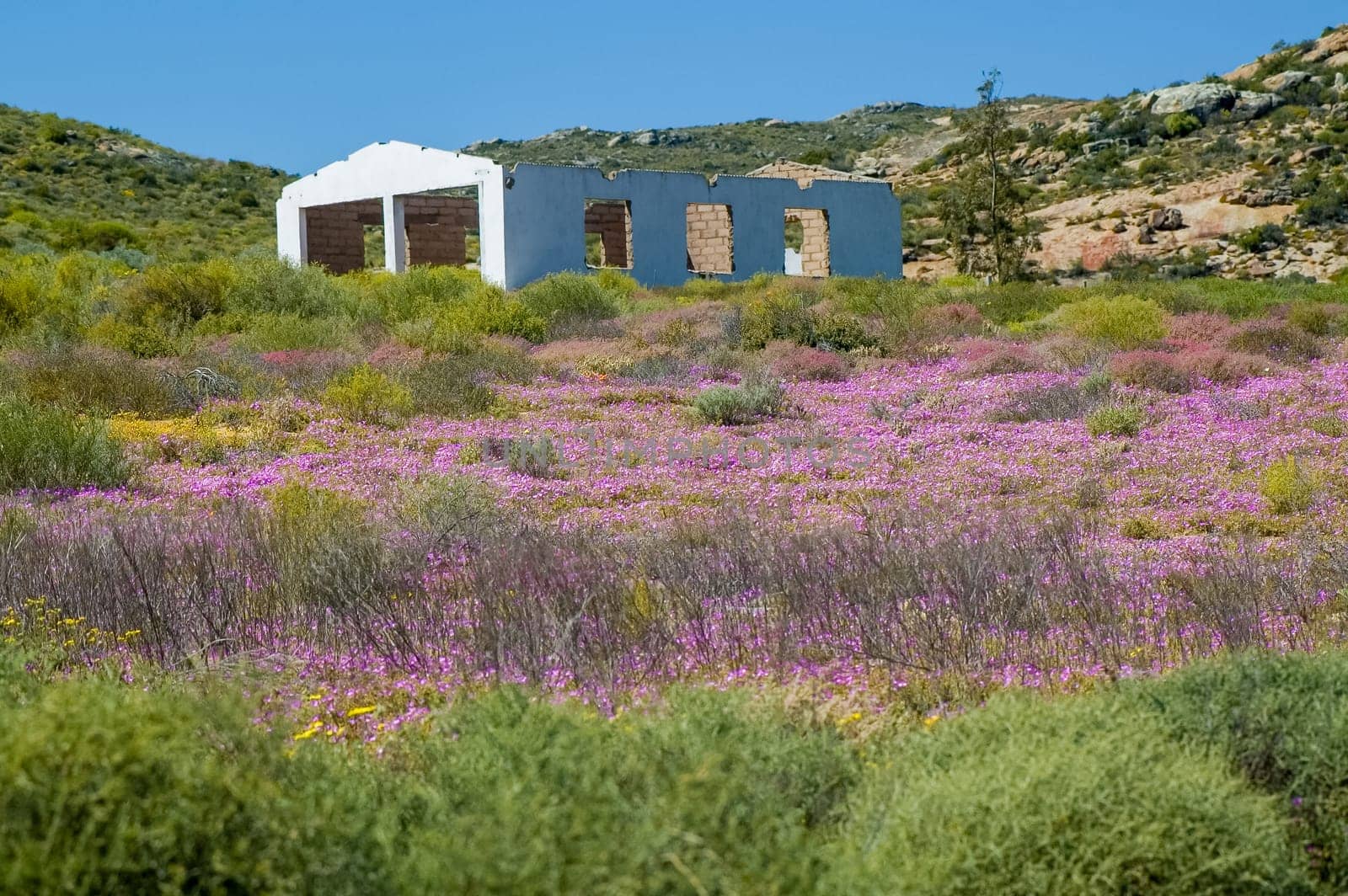
Ruin on slope of a hill, between pink wild flowers
Stock PhotoUsername
dpreezgResolution
3008x2000pxRuin on slope of a hill, between pink wild flowers

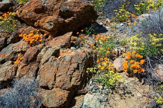
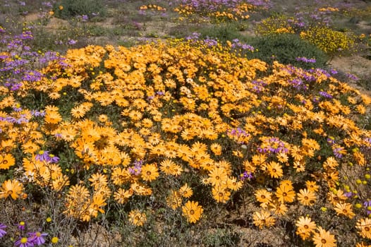
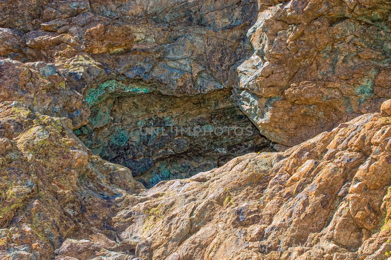
Orange and yellow wild flowers between rocks
Stock PhotoUsername
dpreezgResolution
3008x2000pxOrange and yellow wild flowers between rocks

Wild flowers with a mountain backdrop at Goegap
Stock PhotoUsername
dpreezgResolution
3008x2000pxWild flowers with a mountain backdrop at Goegap

Fields of wild flowers with a mountain backdrop, at Goegap
Stock PhotoUsername
dpreezgResolution
3008x2000pxFields of wild flowers with a mountain backdrop, at Goegap


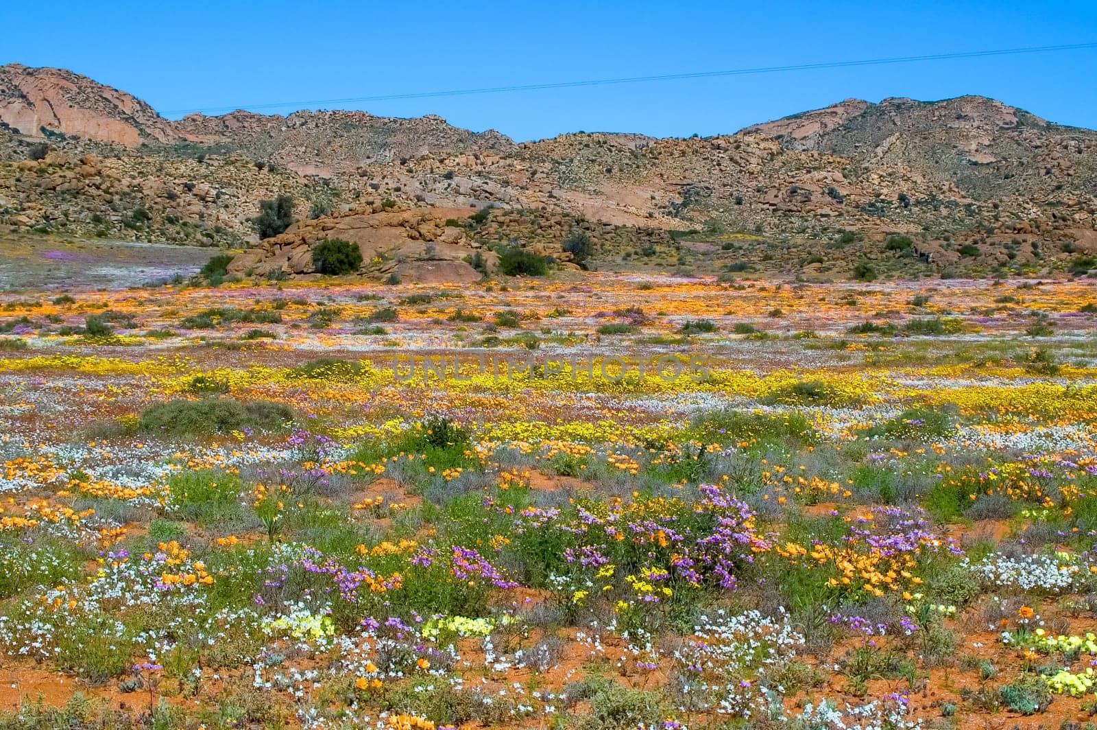
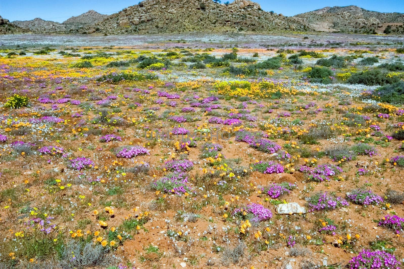
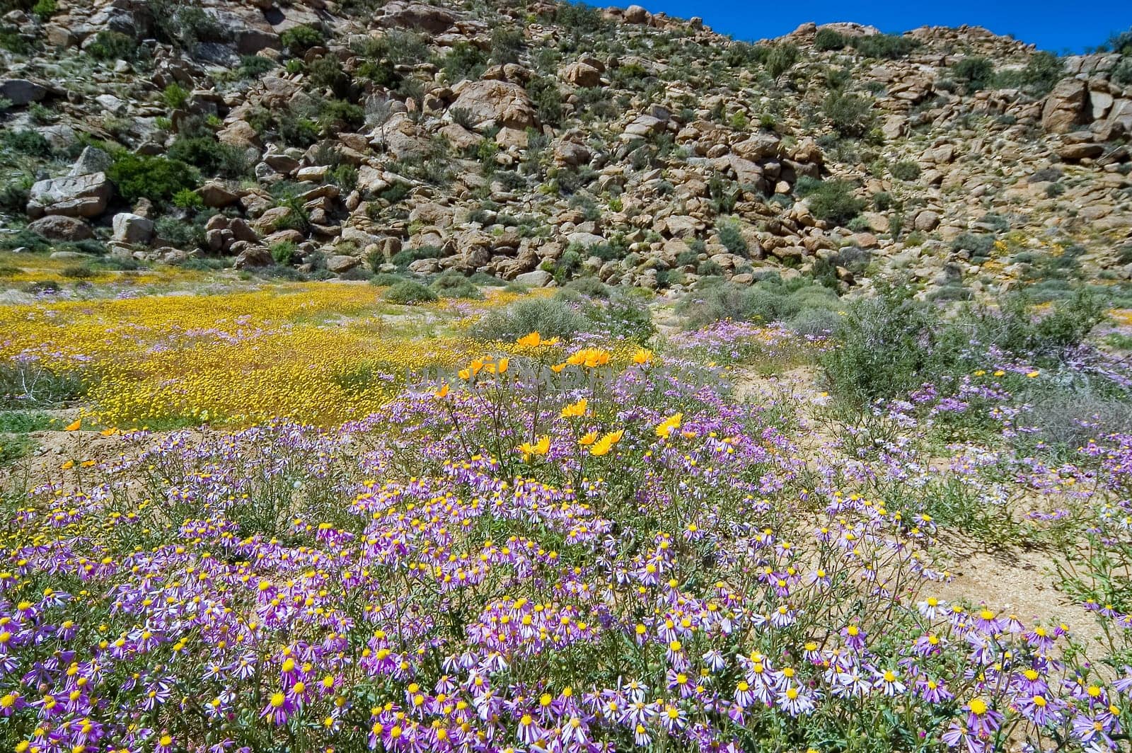
Orange and purple wild flowers in Goegap Nature Reserve
Stock PhotoUsername
dpreezgResolution
3008x2000pxOrange and purple wild flowers in Goegap Nature Reserve

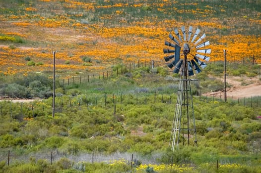
Water-pumping windmill against backdrop of orange wild flowers
Stock PhotoUsername
dpreezgResolution
3008x2000pxWater-pumping windmill against backdrop of orange wild flowers
Quiver trees and orange daisies on a hill in Nababeep
Stock PhotoUsername
dpreezgResolution
3008x2000pxQuiver trees and orange daisies on a hill in Nababeep


Male klipspringer on a rock between yellow wild flowers
Stock PhotoUsername
dpreezgResolution
3008x2000pxMale klipspringer on a rock between yellow wild flowers


Sea of orange daisies in Nababeep
Stock PhotoUsername
dpreezgResolution
3008x2000pxSea of orange daisies in Nababeep


An angulate tortoise in the Namaqualand National Park
Stock PhotoUsername
dpreezgResolution
3008x2000pxAn angulate tortoise in the Namaqualand National Park

Wild flowers with a mountain backdrop at Goegap
Stock PhotoUsername
dpreezgResolution
3008x2000pxWild flowers with a mountain backdrop at Goegap


Entrance to Simon van der Stel's copper mine near Springbok
Stock PhotoUsername
dpreezgResolution
3008x2000pxEntrance to Simon van der Stel's copper mine near Springbok
Entrance of Simon van der Stel's copper mine near Springbok
Stock PhotoUsername
dpreezgResolution
3008x2000pxEntrance of Simon van der Stel's copper mine near Springbok


Wild flowers with a mountain backdrop at Goegap
Stock PhotoUsername
dpreezgResolution
3008x2000pxWild flowers with a mountain backdrop at Goegap


Quiver trees surrounded by wild flowers and hills at Goegap
Stock PhotoUsername
dpreezgResolution
3008x2000pxQuiver trees surrounded by wild flowers and hills at Goegap

Oryx between wild flowers at the Goegap Nature Reserve
Stock PhotoUsername
dpreezgResolution
2290x1527pxOryx between wild flowers at the Goegap Nature Reserve

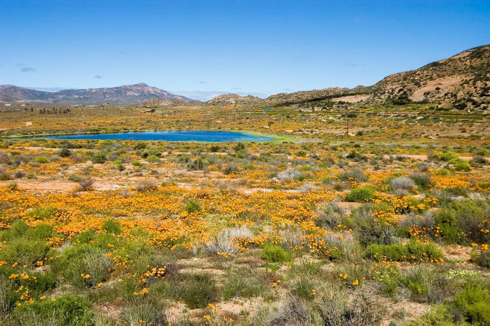
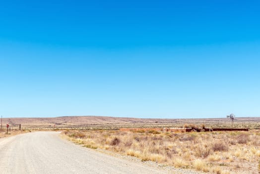
Dam and wild flowers near the town of Springbok
Stock PhotoUsername
dpreezgResolution
3008x2000pxDam and wild flowers near the town of Springbok

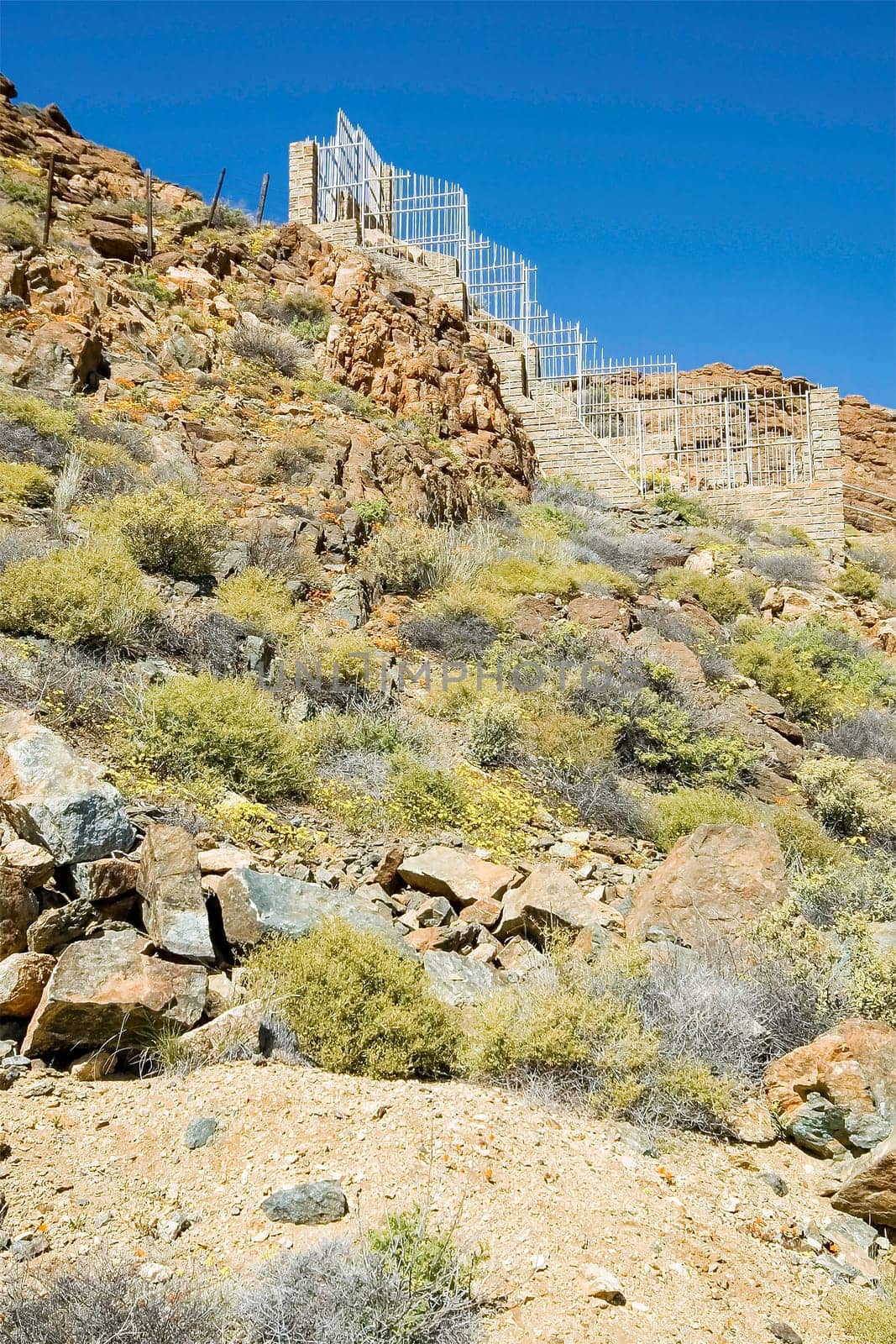
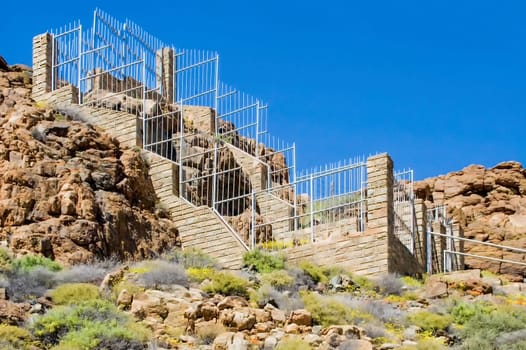
Stairs to Simon van der Stel's copper mine near Springbok
Stock PhotoUsername
dpreezgResolution
2000x3000pxStairs to Simon van der Stel's copper mine near Springbok


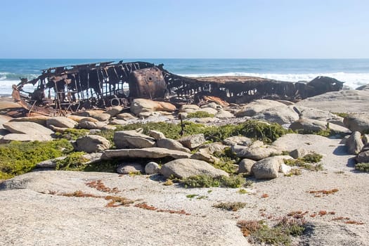
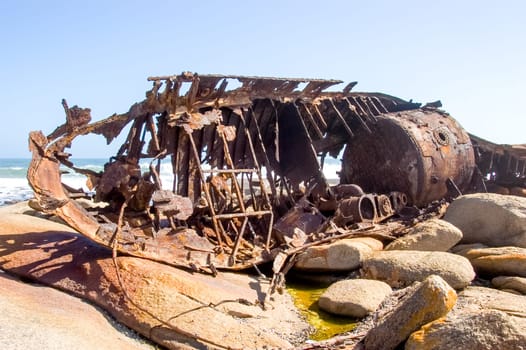
Wreck of the Aristea
Stock PhotoUsername
dpreezgResolution
3000x2000pxWreck of the Aristea

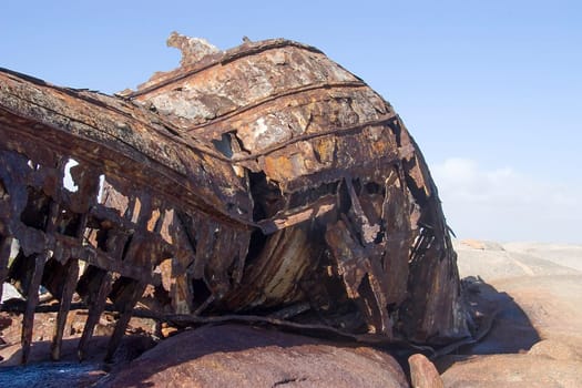
Wreck of the Aristea
Stock PhotoUsername
dpreezgResolution
3000x2000pxWreck of the Aristea
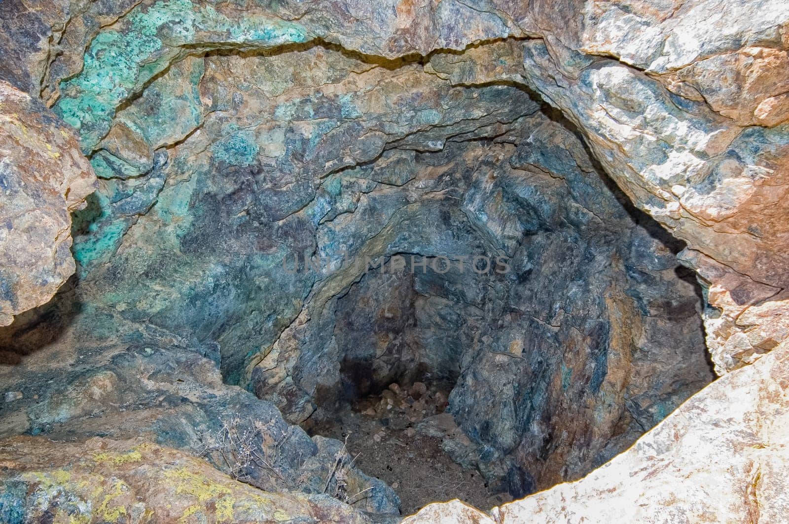
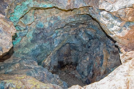
Inside Simon van der Stel's copper mine near Springbok
Stock PhotoUsername
dpreezgResolution
3008x2000pxInside Simon van der Stel's copper mine near Springbok
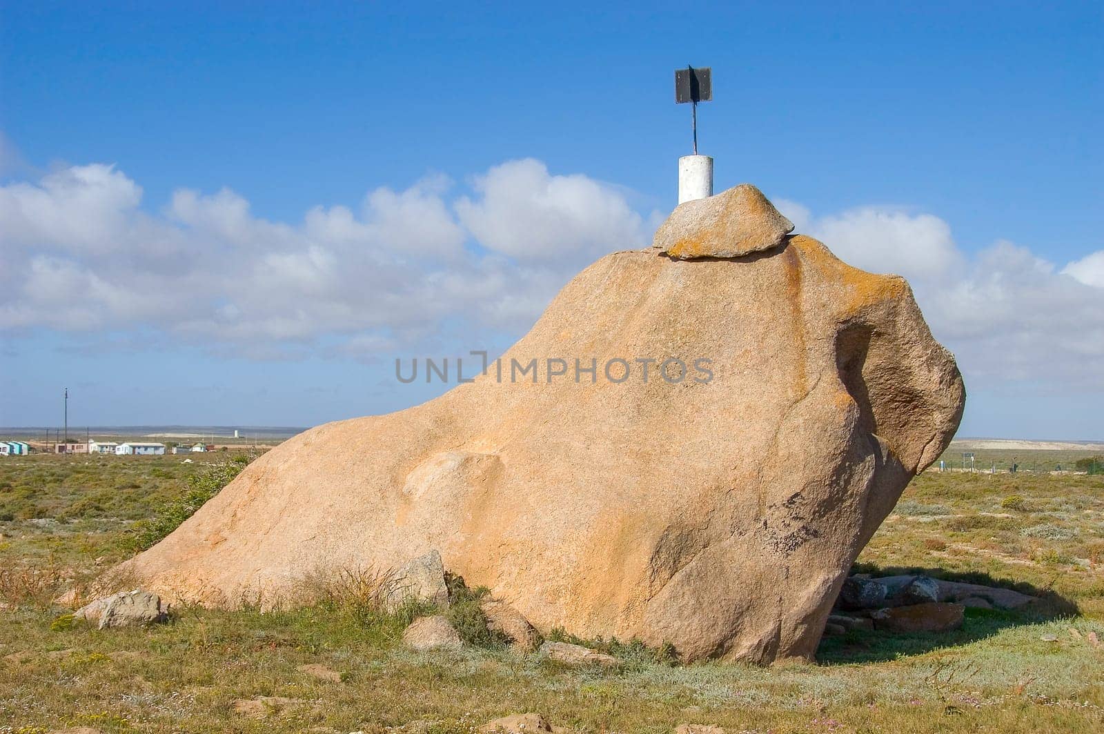
The dog stone of Hondklipbaai
Stock PhotoUsername
dpreezgResolution
3008x2000pxThe dog stone of Hondklipbaai


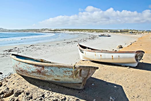
Two dinghies on the beach at Hondklipbaai
Stock PhotoUsername
dpreezgResolution
3000x2000pxTwo dinghies on the beach at Hondklipbaai

Wreck of the Aristea
Stock PhotoUsername
dpreezgResolution
3008x2000pxWreck of the Aristea

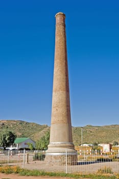
Smokestack in Okiep
Stock PhotoUsername
dpreezgResolution
2000x3000pxSmokestack in Okiep

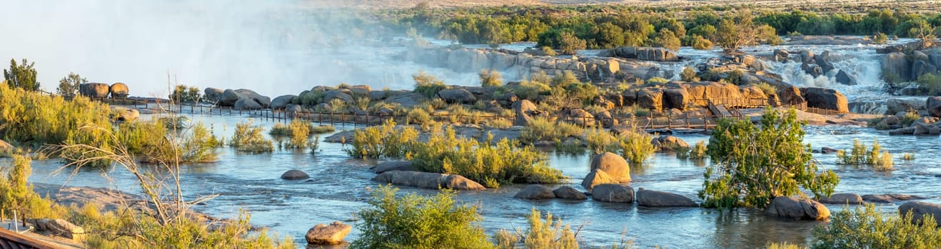
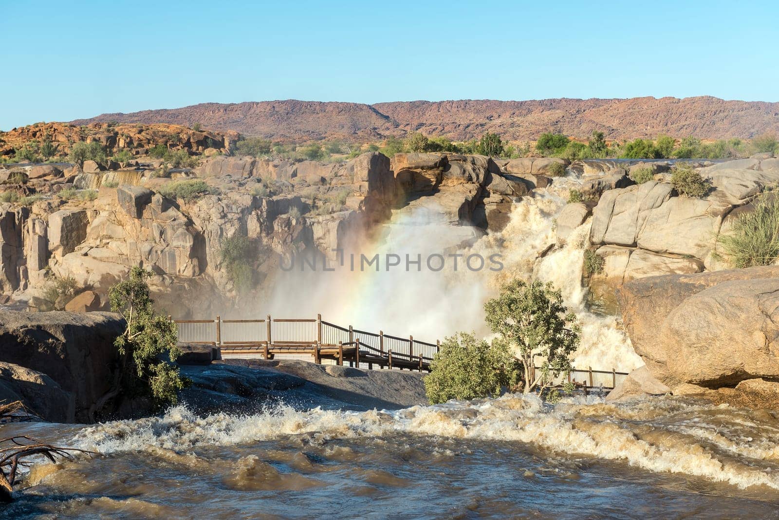
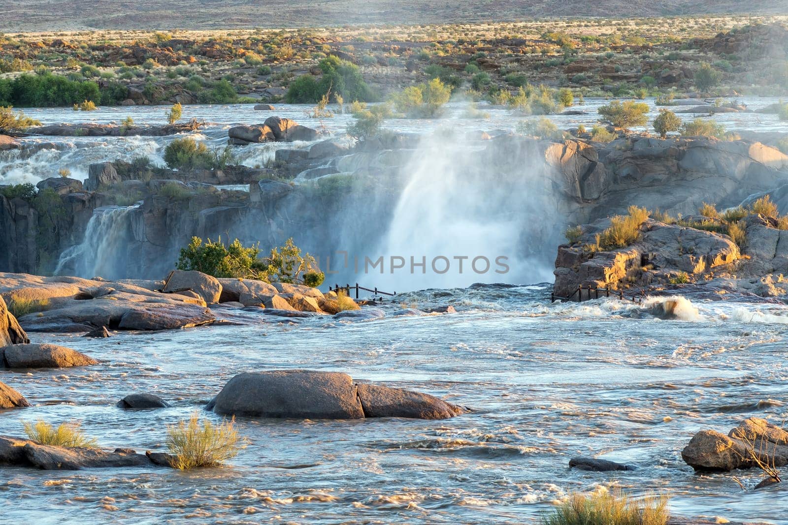
Boardwalk to the main Augrabies waterfall
Stock PhotoUsername
dpreezgResolution
9036x2400pxBoardwalk to the main Augrabies waterfall

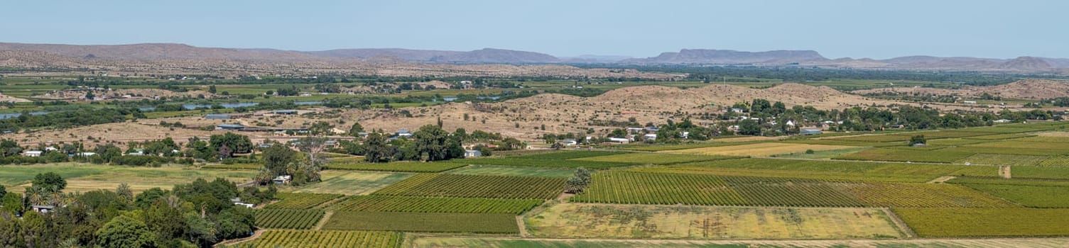
West view from Tierberg. Vineyards' Orange River visible
Stock PhotoUsername
dpreezgResolution
8595x2000pxWest view from Tierberg. Vineyards' Orange River visible

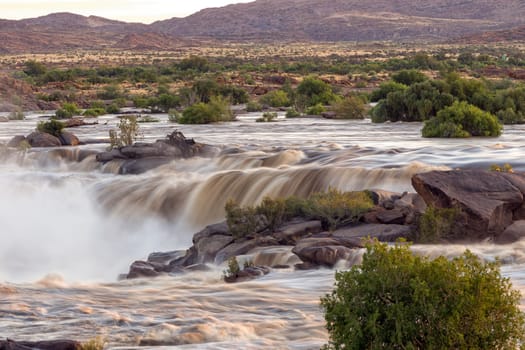
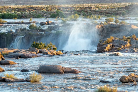
Sunrise view of falls directly above main Augrabies Fall
Stock PhotoUsername
dpreezgResolution
3600x2400pxSunrise view of falls directly above main Augrabies Fall

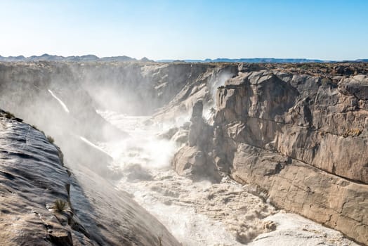
Augrabies Falls ravine downstrean of viewpoints
Stock PhotoUsername
dpreezgResolution
3595x2400pxAugrabies Falls ravine downstrean of viewpoints

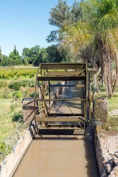
Irrigation canal and waterwheel in Keimoes
Stock PhotoUsername
dpreezgResolution
2400x3595pxIrrigation canal and waterwheel in Keimoes

Start of Dassie and Klipspringer trails at Augrabies Falls
Stock PhotoUsername
dpreezgResolution
3595x2400pxStart of Dassie and Klipspringer trails at Augrabies Falls
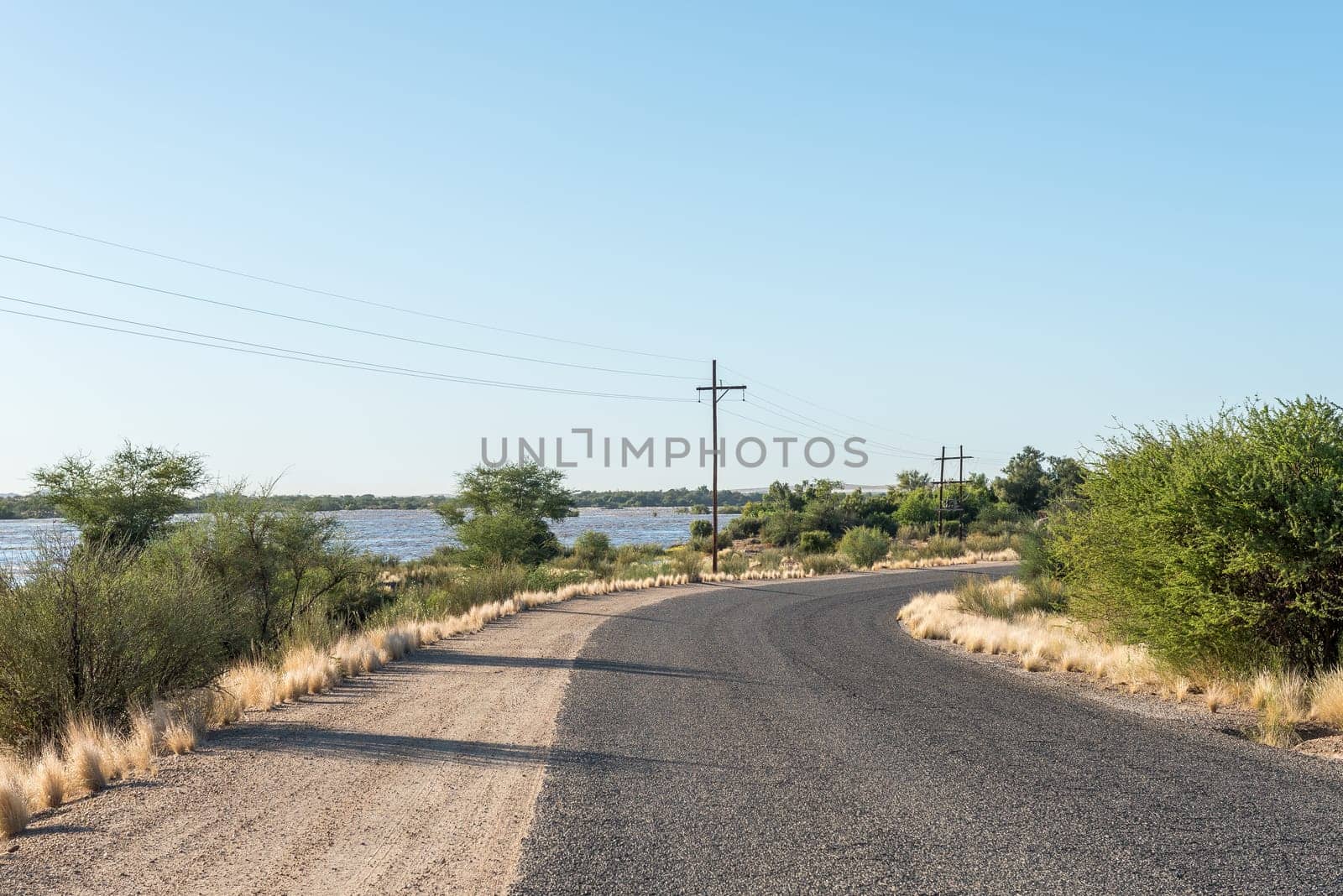
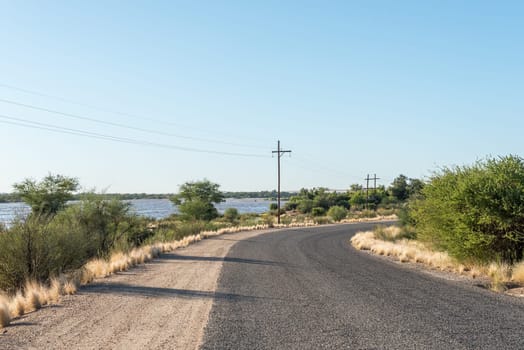
Augrabies Falls entrance road with Orange River in flood
Stock PhotoUsername
dpreezgResolution
3595x2400pxAugrabies Falls entrance road with Orange River in flood

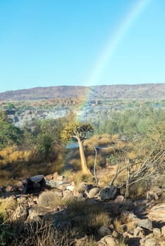
Rainbow cutting through quiver tree at Augrabies Falls
Stock PhotoUsername
dpreezgResolution
2400x3595pxRainbow cutting through quiver tree at Augrabies Falls
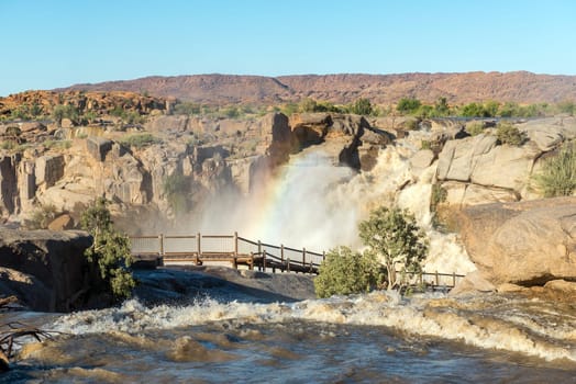
Rainbow over boardwalk at Augrabies Falls
Stock PhotoUsername
dpreezgResolution
3595x2400pxRainbow over boardwalk at Augrabies Falls
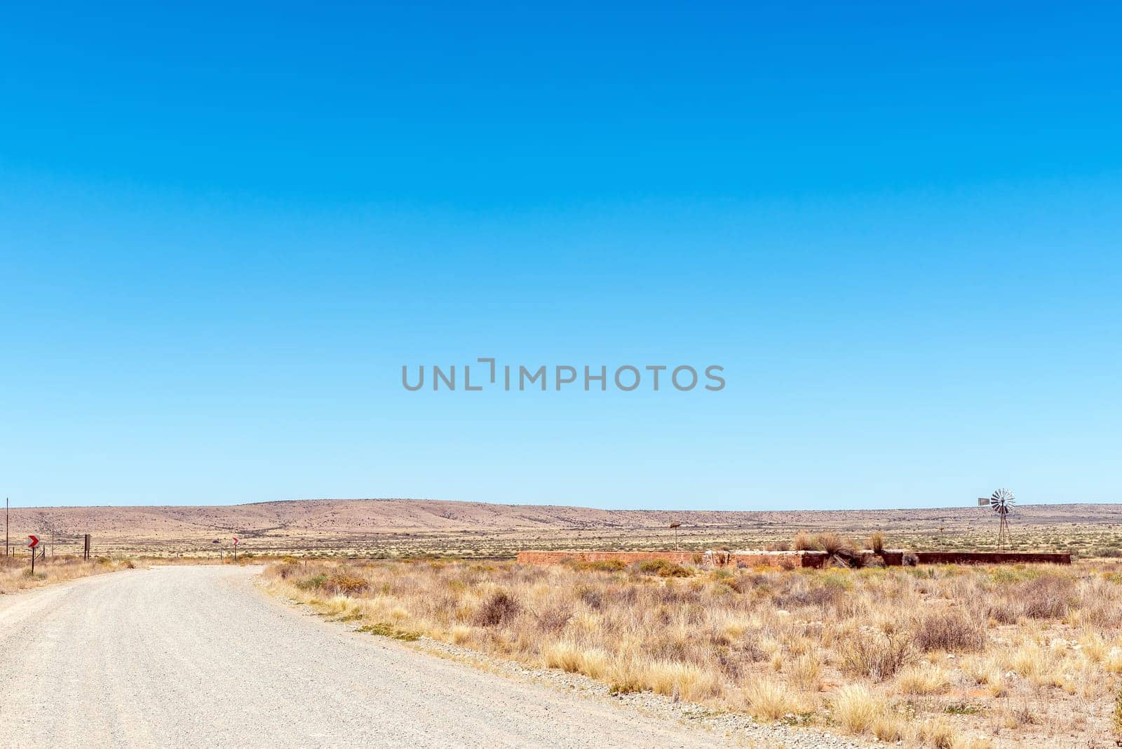
Stone livestock enclosure and windmill at Putsonderwater
Stock PhotoUsername
dpreezgResolution
3595x2400pxStone livestock enclosure and windmill at Putsonderwater

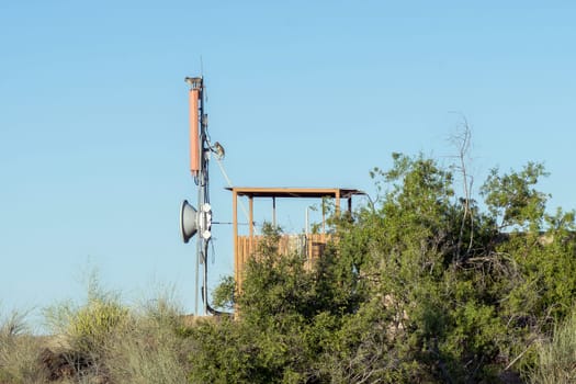
Vervet monkeys on cell phone tower, Augrabies Falls
Stock PhotoUsername
dpreezgResolution
3600x2400pxVervet monkeys on cell phone tower, Augrabies Falls
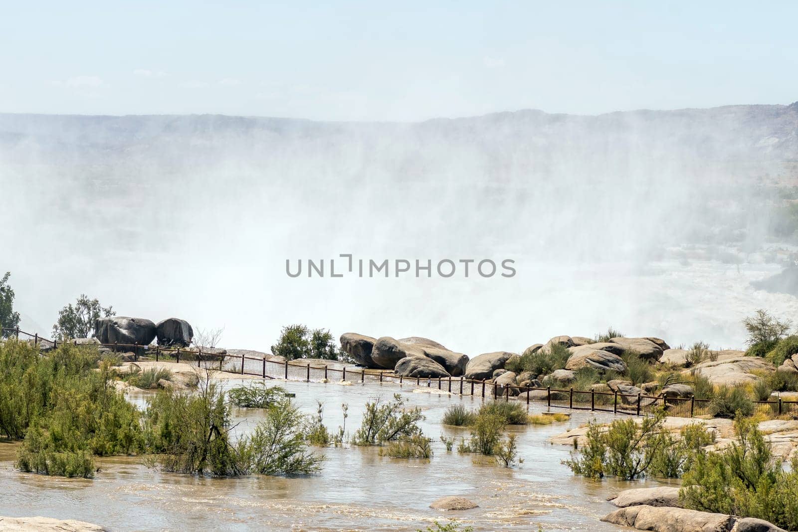
Flooded boardwalk at the main Augrabies waterfall
Stock PhotoUsername
dpreezgResolution
3600x2400pxFlooded boardwalk at the main Augrabies waterfall
Flooded footpath to main viewpoint at Augrabies Falls
Stock PhotoUsername
dpreezgResolution
3600x2400pxFlooded footpath to main viewpoint at Augrabies Falls
