- Filter By:
-
-
Stock photos and images of username:dpreezg

Start of Dassie and Klipspringer trails at Augrabies Falls
Stock PhotoUsername
dpreezgResolution
3595x2400pxStart of Dassie and Klipspringer trails at Augrabies Falls
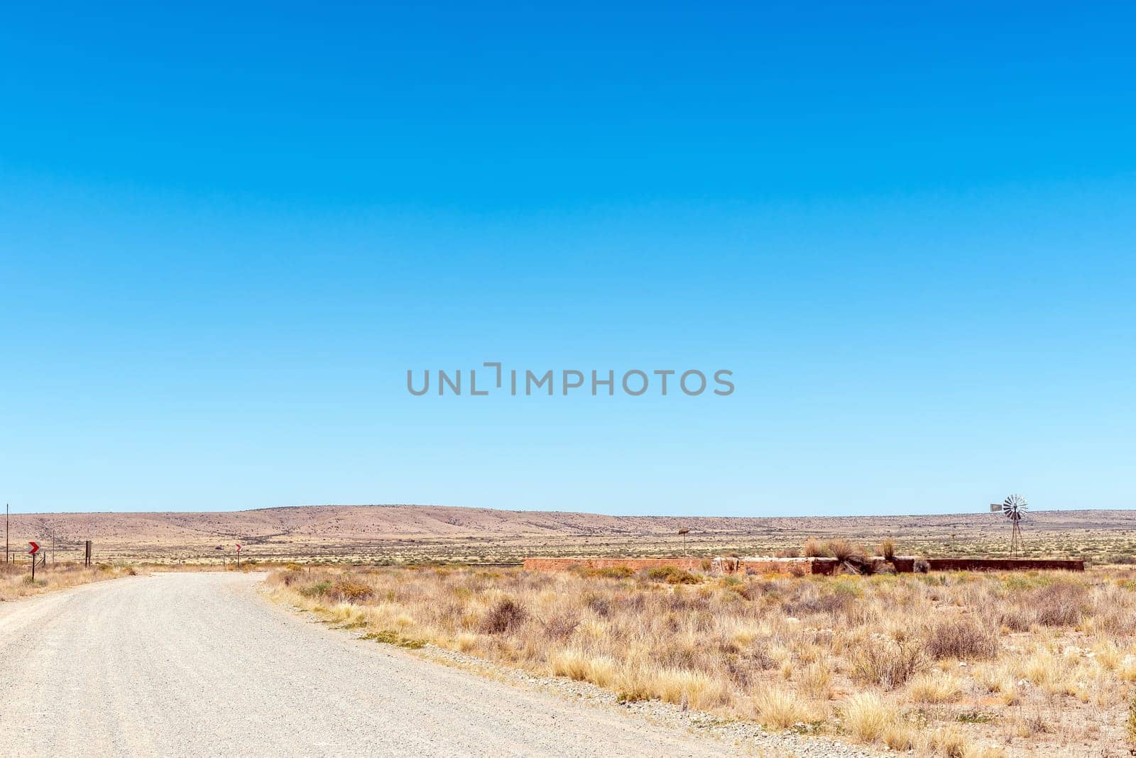
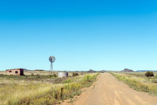
Stone livestock enclosure and windmill at Putsonderwater
Stock PhotoUsername
dpreezgResolution
3595x2400pxStone livestock enclosure and windmill at Putsonderwater
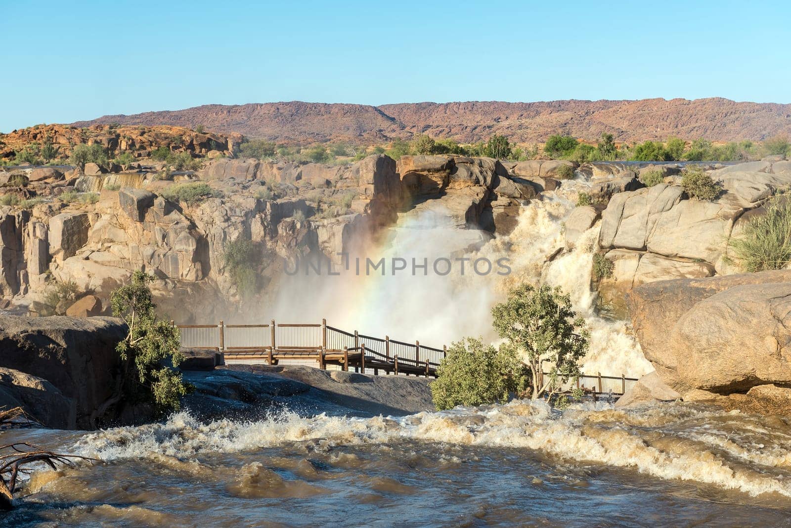
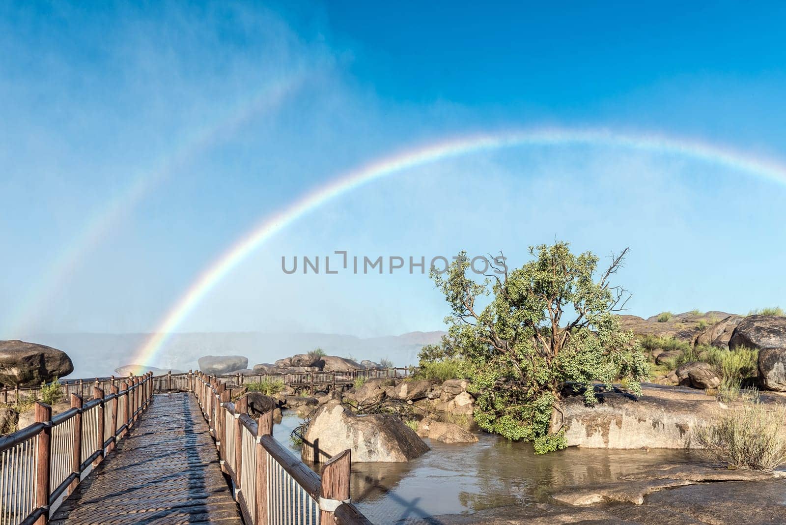
Rainbow over boardwalk at Augrabies Falls
Stock PhotoUsername
dpreezgResolution
3595x2400pxRainbow over boardwalk at Augrabies Falls

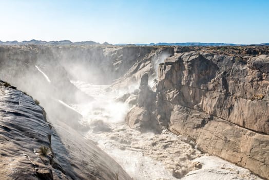
Augrabies Falls ravine downstrean of viewpoints
Stock PhotoUsername
dpreezgResolution
3595x2400pxAugrabies Falls ravine downstrean of viewpoints
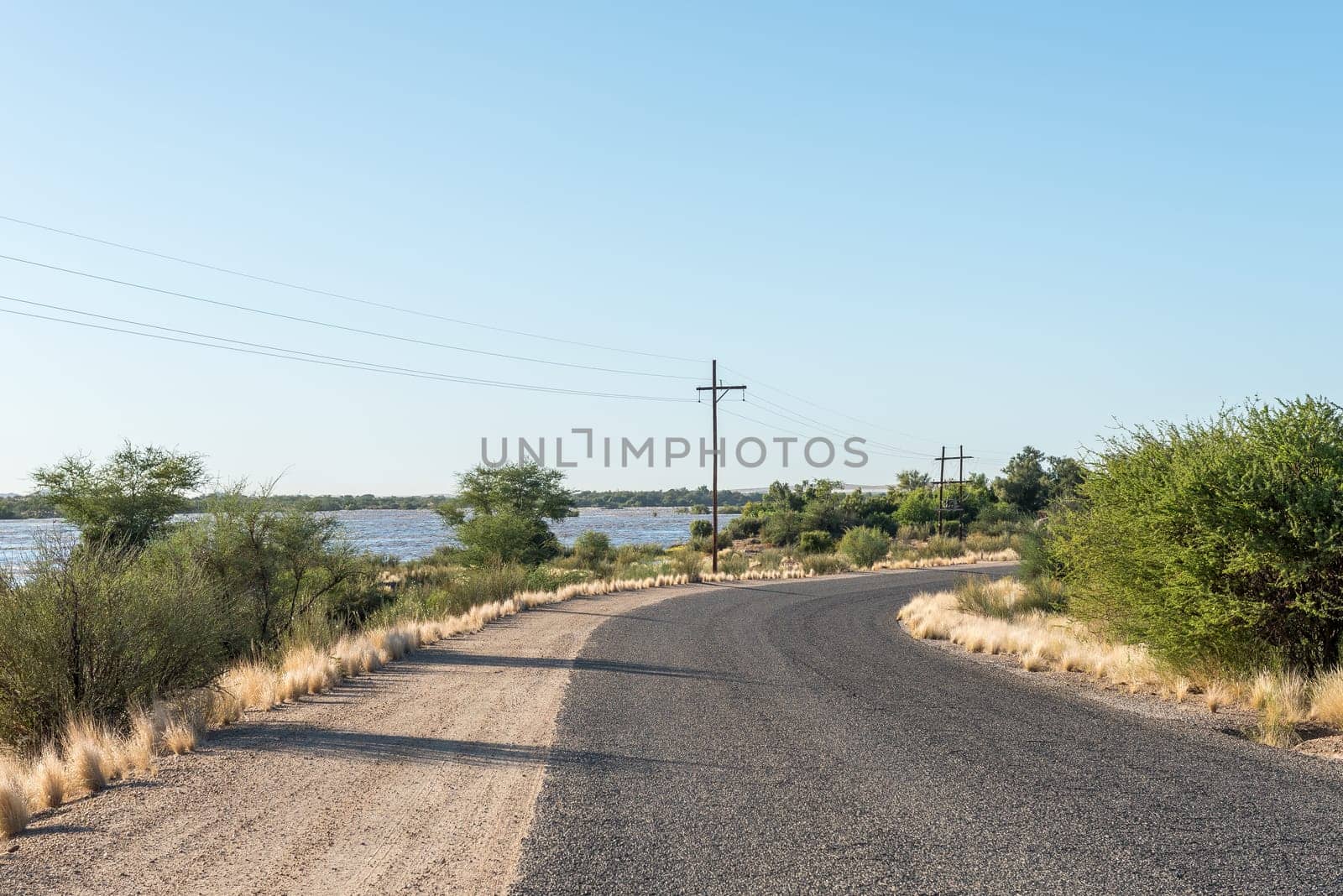
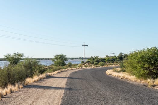
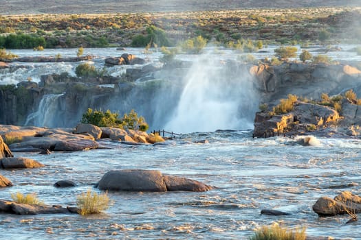
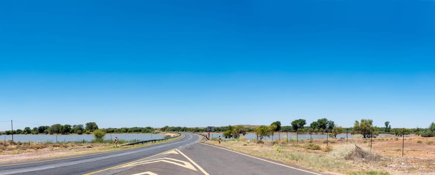
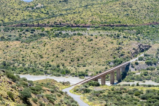
Augrabies Falls entrance road with Orange River in flood
Stock PhotoUsername
dpreezgResolution
3595x2400pxAugrabies Falls entrance road with Orange River in flood

Sunrise view of falls directly above main Augrabies Fall
Stock PhotoUsername
dpreezgResolution
3600x2400pxSunrise view of falls directly above main Augrabies Fall

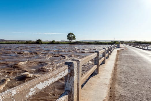
Bridge over part of the flooded Orange River, Marchand
Stock PhotoUsername
dpreezgResolution
3595x2400pxBridge over part of the flooded Orange River, Marchand
Flooded footpath to main viewpoint at Augrabies Falls
Stock PhotoUsername
dpreezgResolution
3600x2400pxFlooded footpath to main viewpoint at Augrabies Falls

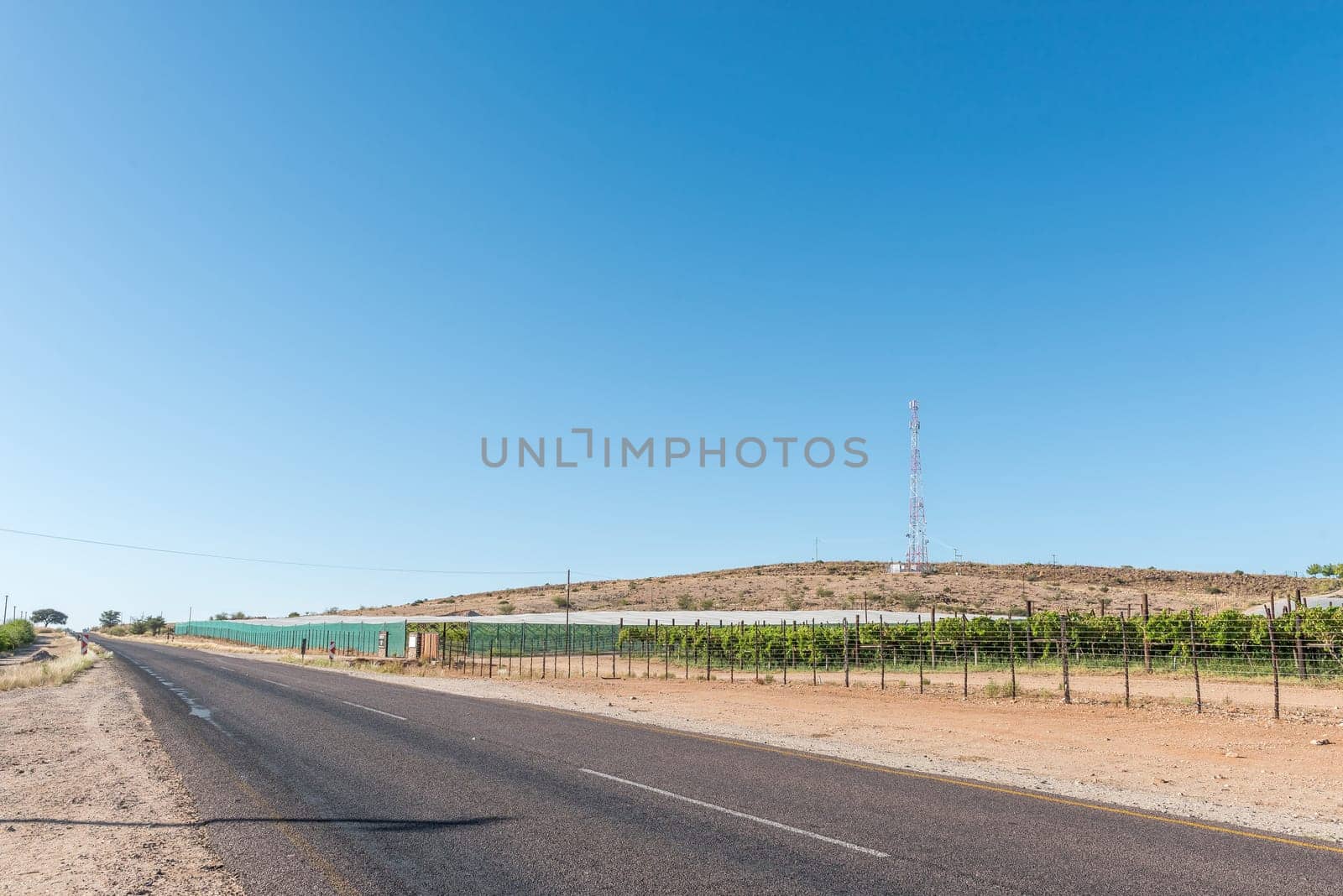
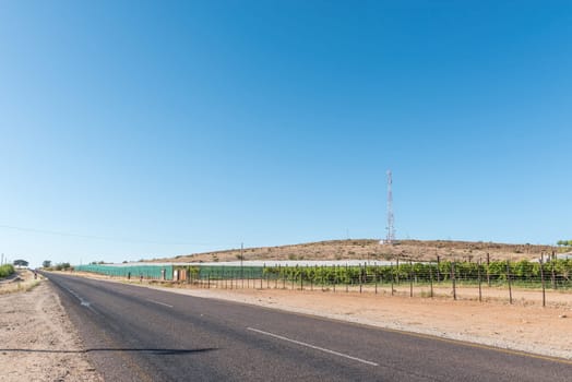
Vineyards next to road R359 near Marchand
Stock PhotoUsername
dpreezgResolution
3595x2400pxVineyards next to road R359 near Marchand

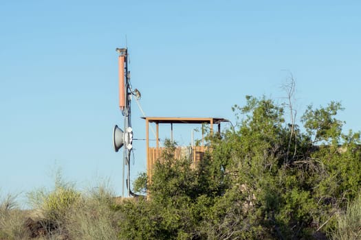
Vervet monkeys on cell phone tower, Augrabies Falls
Stock PhotoUsername
dpreezgResolution
3600x2400pxVervet monkeys on cell phone tower, Augrabies Falls
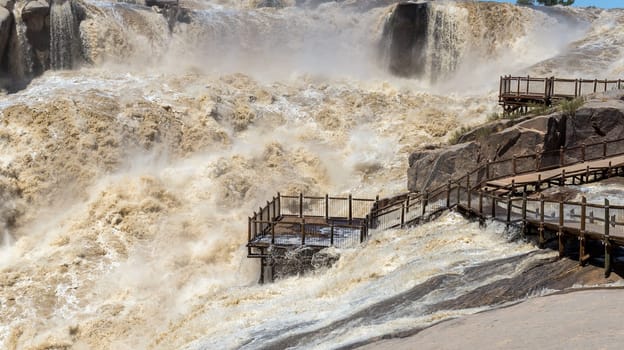
Flooded boardwalk at the main Augrabies waterfall
Stock PhotoUsername
dpreezgResolution
3600x2400pxFlooded boardwalk at the main Augrabies waterfall

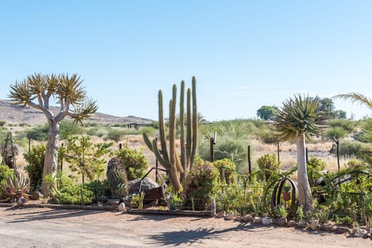
Succulent garden at Akkerboom Farm Stall
Stock PhotoUsername
dpreezgResolution
3595x2400pxSucculent garden at Akkerboom Farm Stall

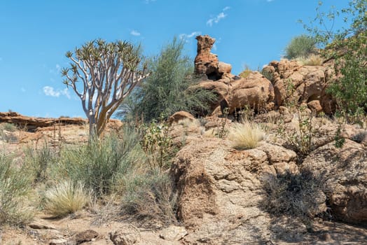
Quiver tree and rock formations, Augrabies Falls
Stock PhotoUsername
dpreezgResolution
3595x2400pxQuiver tree and rock formations, Augrabies Falls

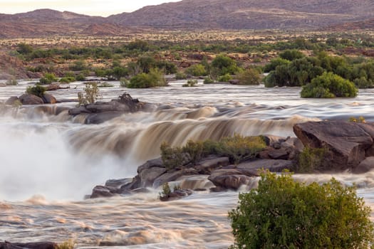
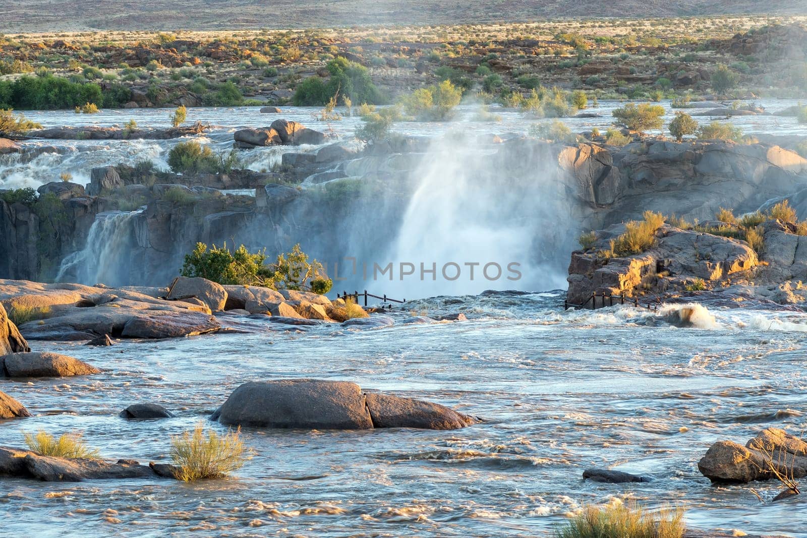
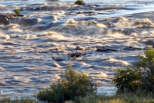
Rapids in Orange River above Augrabies waterfall
Stock PhotoUsername
dpreezgResolution
3600x2400pxRapids in Orange River above Augrabies waterfall
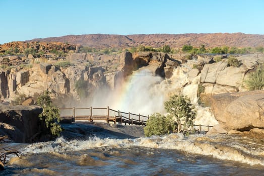
Rainbow over boardwalk at Augrabies Falls
Stock PhotoUsername
dpreezgResolution
3595x2400pxRainbow over boardwalk at Augrabies Falls


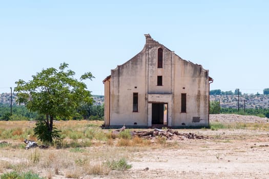
Ruin of the Emmanuel Church between Groblershoop and Upington
Stock PhotoUsername
dpreezgResolution
3600x2400pxRuin of the Emmanuel Church between Groblershoop and Upington

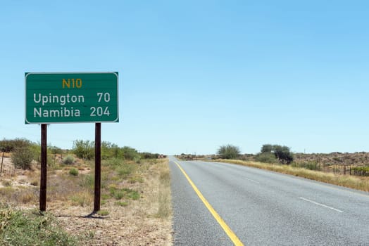
Dstance sign on road N10 near Grootdrink
Stock PhotoUsername
dpreezgResolution
3595x2400pxDstance sign on road N10 near Grootdrink

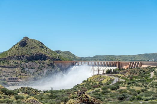
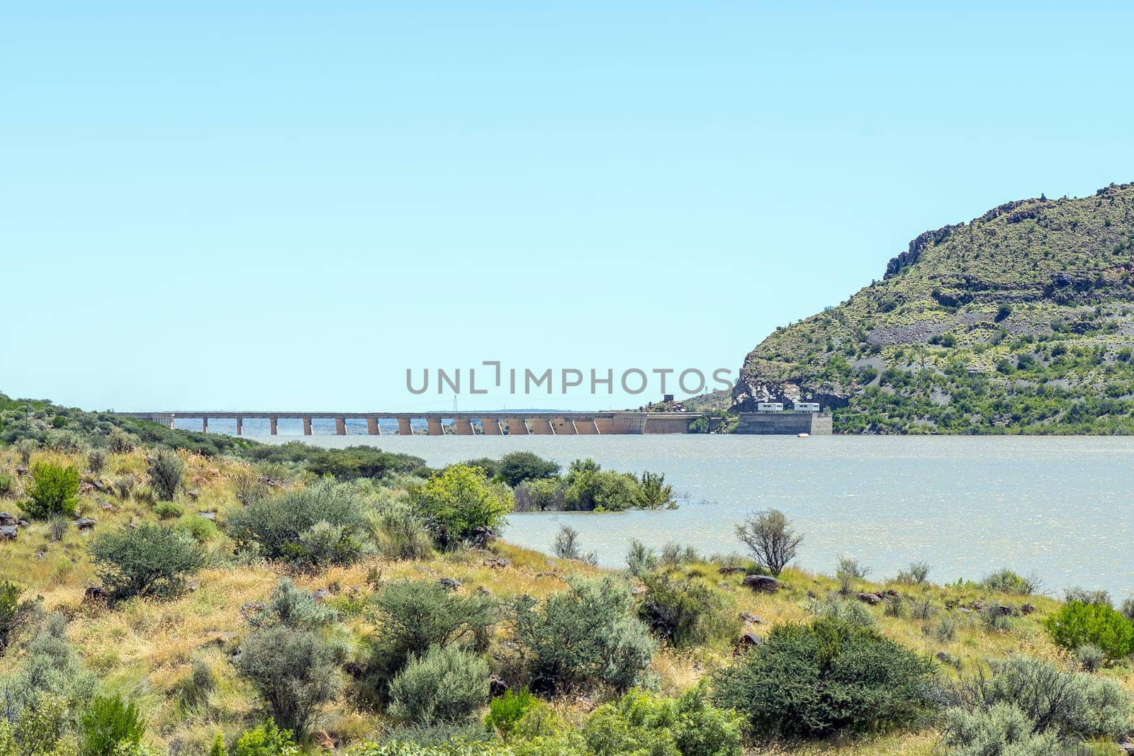
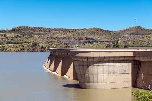
Second largest dam in South Africa, Vanderkloof Dam, overflowing
Stock PhotoUsername
dpreezgResolution
3595x2400pxSecond largest dam in South Africa, Vanderkloof Dam, overflowing

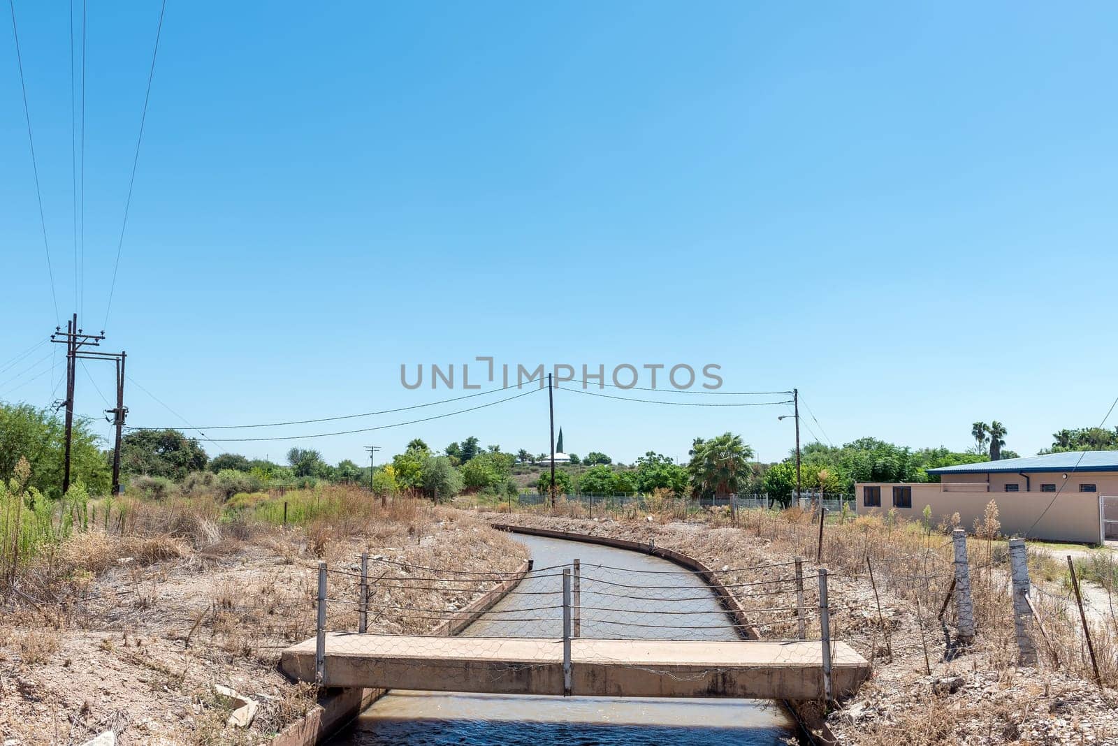
Balancing dam for the canal system between Groblershoop and Upington
Stock PhotoUsername
dpreezgResolution
5945x2400pxBalancing dam for the canal system between Groblershoop and Upington

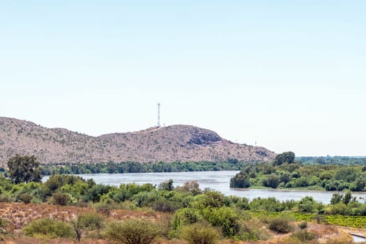
Orange River in flood near Grootdrink
Stock PhotoUsername
dpreezgResolution
3150x2100pxOrange River in flood near Grootdrink

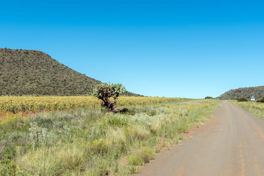
Sunflower field with flower heads facing downward
Stock PhotoUsername
dpreezgResolution
3595x2400pxSunflower field with flower heads facing downward

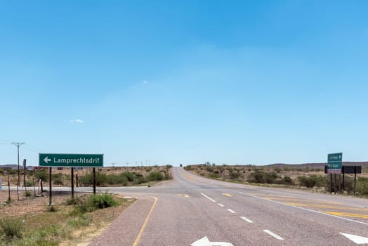
Junction on road N10 at Lamprechtsdrif
Stock PhotoUsername
dpreezgResolution
3595x2400pxJunction on road N10 at Lamprechtsdrif
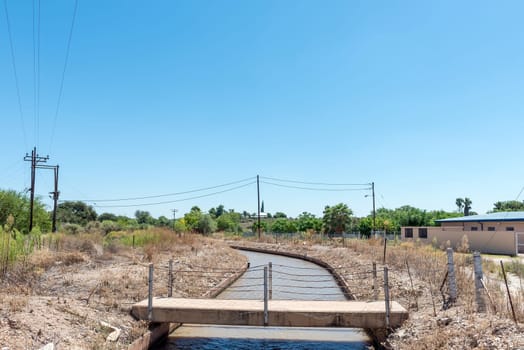
Pedestrian bridge over a canal in Groblershoop
Stock PhotoUsername
dpreezgResolution
3595x2400pxPedestrian bridge over a canal in Groblershoop

Road bridge over a flooded Orange River at Grootdrink
Stock PhotoUsername
dpreezgResolution
3595x2400pxRoad bridge over a flooded Orange River at Grootdrink
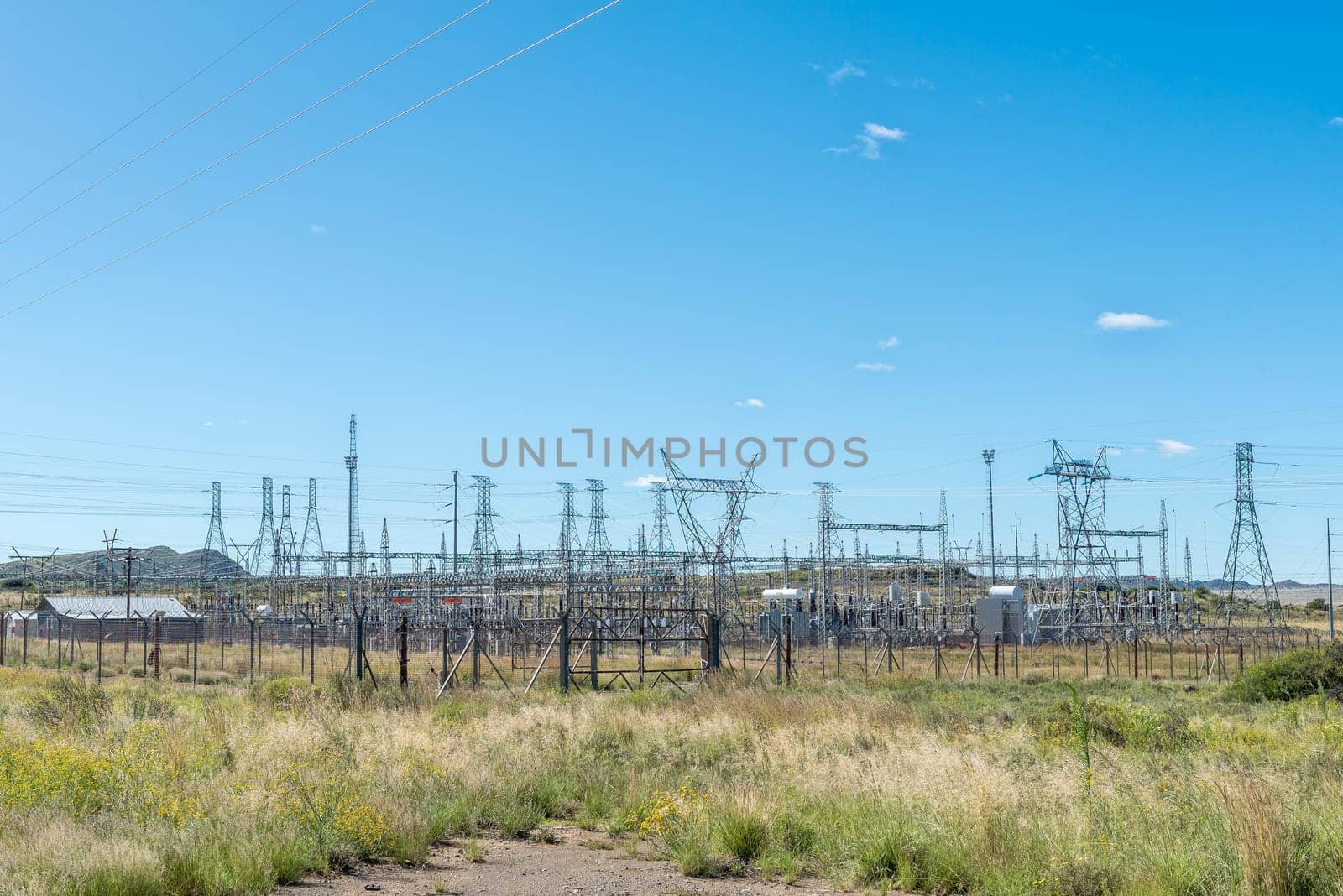
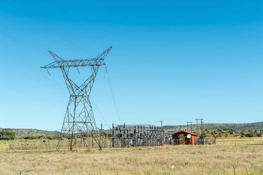
Substation for the Gariep Dam hydroelectric power station
Stock PhotoUsername
dpreezgResolution
3595x2400pxSubstation for the Gariep Dam hydroelectric power station


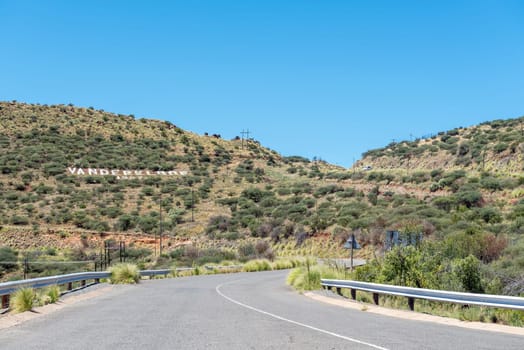
Road to Vanderkloof Dam. Name is visible on hill side
Stock PhotoUsername
dpreezgResolution
3595x2400pxRoad to Vanderkloof Dam. Name is visible on hill side
Second largest dam in South Africa, Vanderkloof Dam, overflowing
Stock PhotoUsername
dpreezgResolution
3150x2100pxSecond largest dam in South Africa, Vanderkloof Dam, overflowing
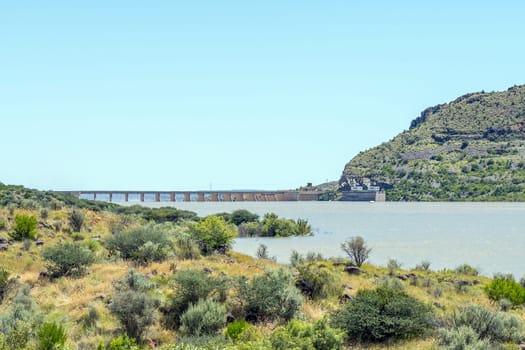

Second largest dam in South Africa, Vanderkloof Dam, overflowing
Stock PhotoUsername
dpreezgResolution
3595x2400pxSecond largest dam in South Africa, Vanderkloof Dam, overflowing

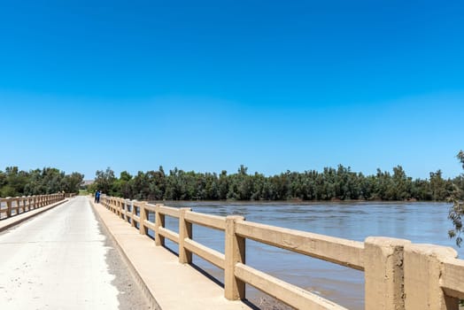
Single lane road bridge over Orange River below Vanderkloof Dam
Stock PhotoUsername
dpreezgResolution
3600x2400pxSingle lane road bridge over Orange River below Vanderkloof Dam

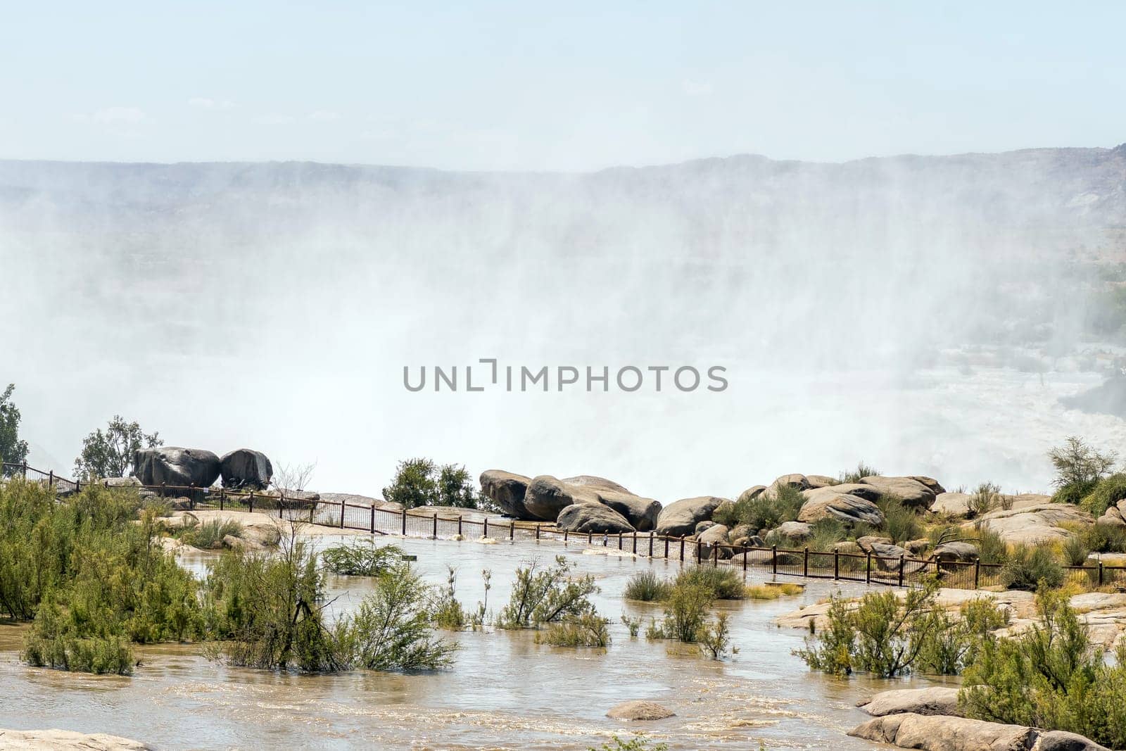
Flooded viewpoint at the main Augrabies waterfall
Stock PhotoUsername
dpreezgResolution
4277x2400pxFlooded viewpoint at the main Augrabies waterfall
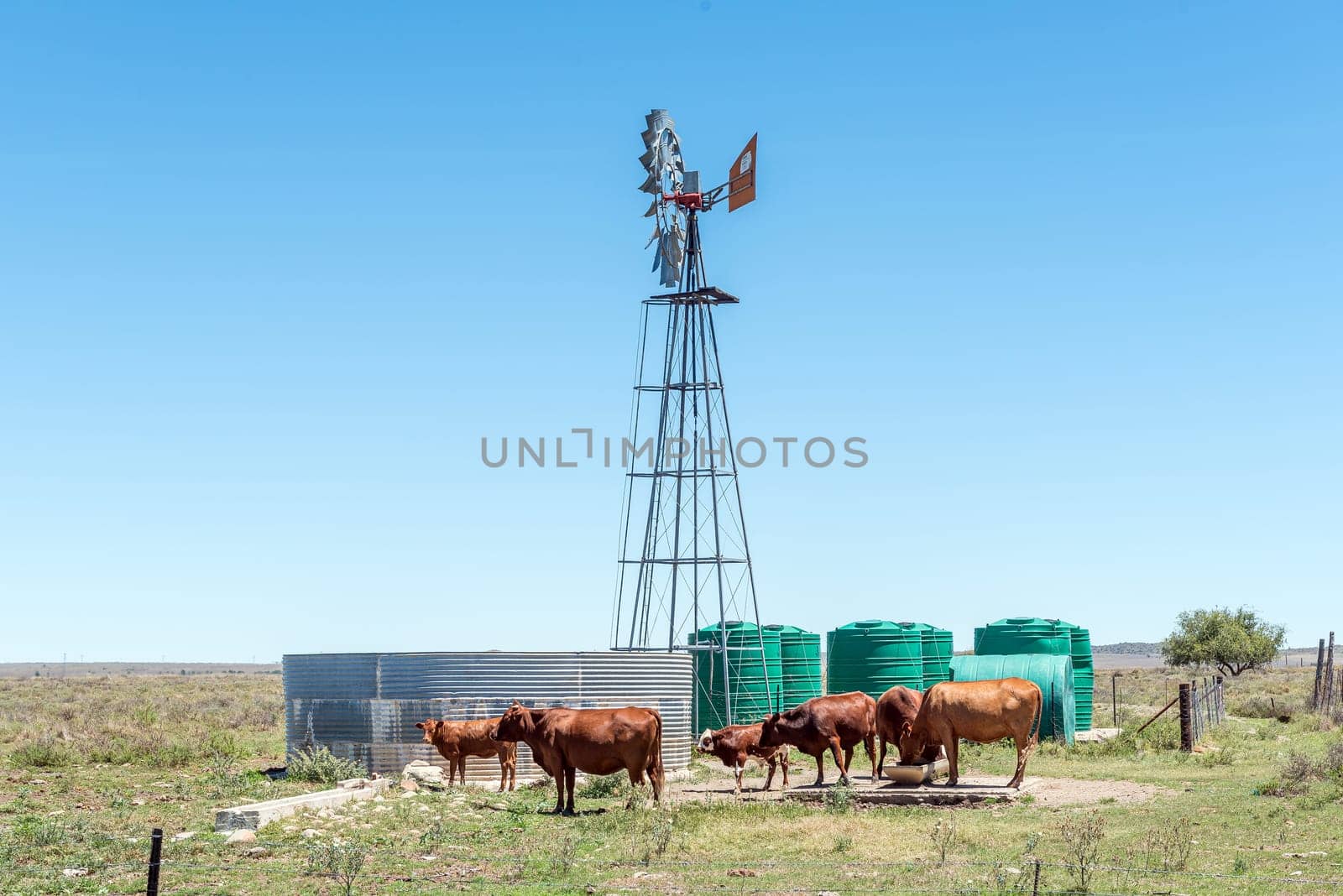
Windmill, dam, water storage ranks and cattle on road R369
Stock PhotoUsername
dpreezgResolution
3595x2400pxWindmill, dam, water storage ranks and cattle on road R369


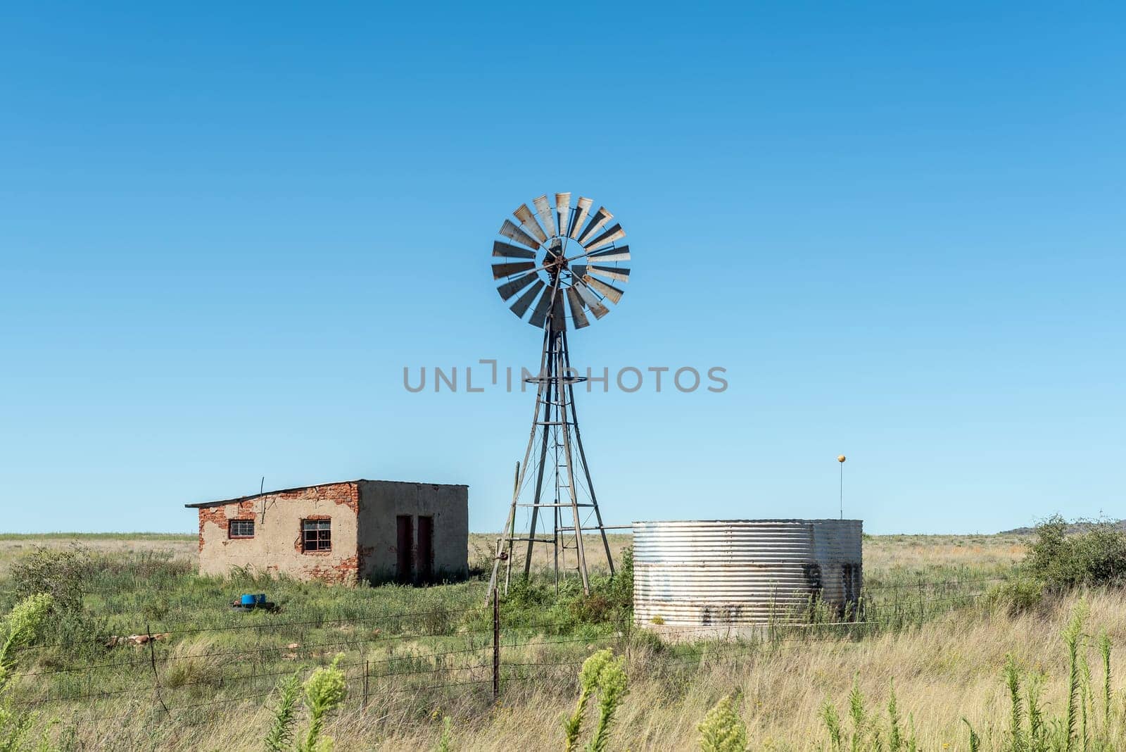
Abandoned farm worker house, windmill and dam
Stock PhotoUsername
dpreezgResolution
3595x2400pxAbandoned farm worker house, windmill and dam

Power substation at Fauresmith in the Free State Province
Stock PhotoUsername
dpreezgResolution
3595x2400pxPower substation at Fauresmith in the Free State Province
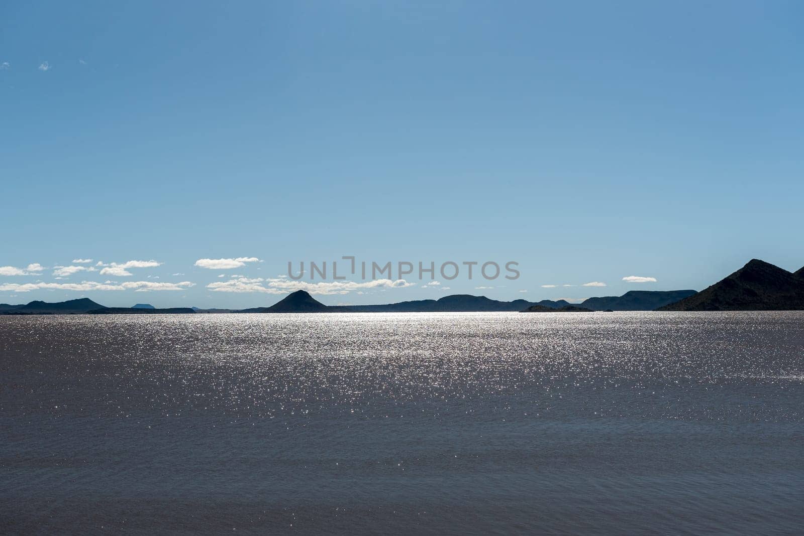
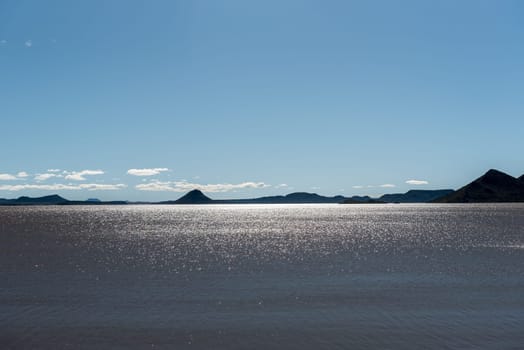
Reflections on the Gariep Dam
Stock PhotoUsername
dpreezgResolution
3595x2400pxReflections on the Gariep Dam

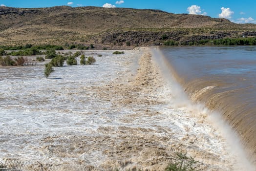
Boegoeberg Dam wall completely covered by flooded Orange River
Stock PhotoUsername
dpreezgResolution
3595x2400pxBoegoeberg Dam wall completely covered by flooded Orange River
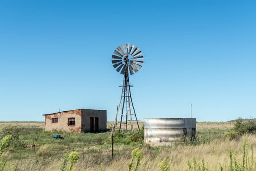
Abandoned farm worker house, windmill and dam
Stock PhotoUsername
dpreezgResolution
3595x2400pxAbandoned farm worker house, windmill and dam

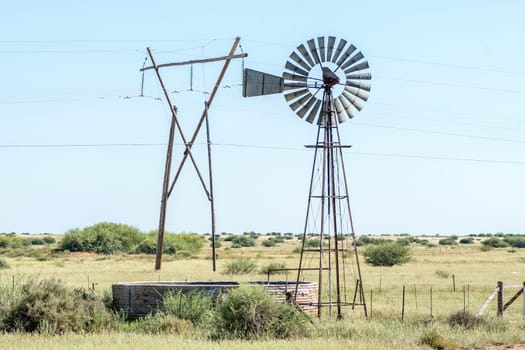
Windmill with dam and electricity pylon between Douglas and Prieska
Stock PhotoUsername
dpreezgResolution
3600x2400pxWindmill with dam and electricity pylon between Douglas and Prieska
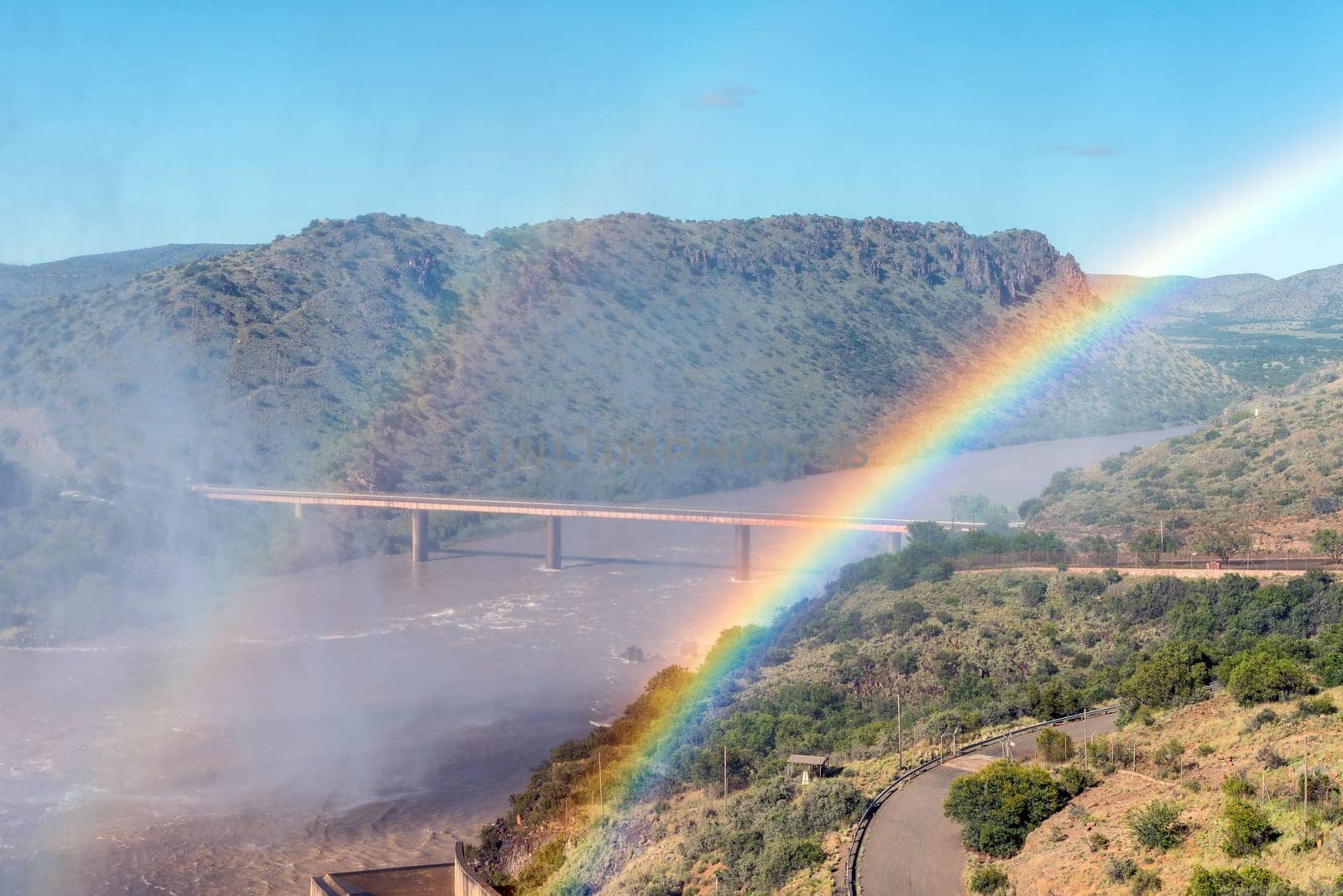
Bridge over Orange River below Gariep Dam behind double rainbow
Stock PhotoUsername
dpreezgResolution
3595x2400pxBridge over Orange River below Gariep Dam behind double rainbow

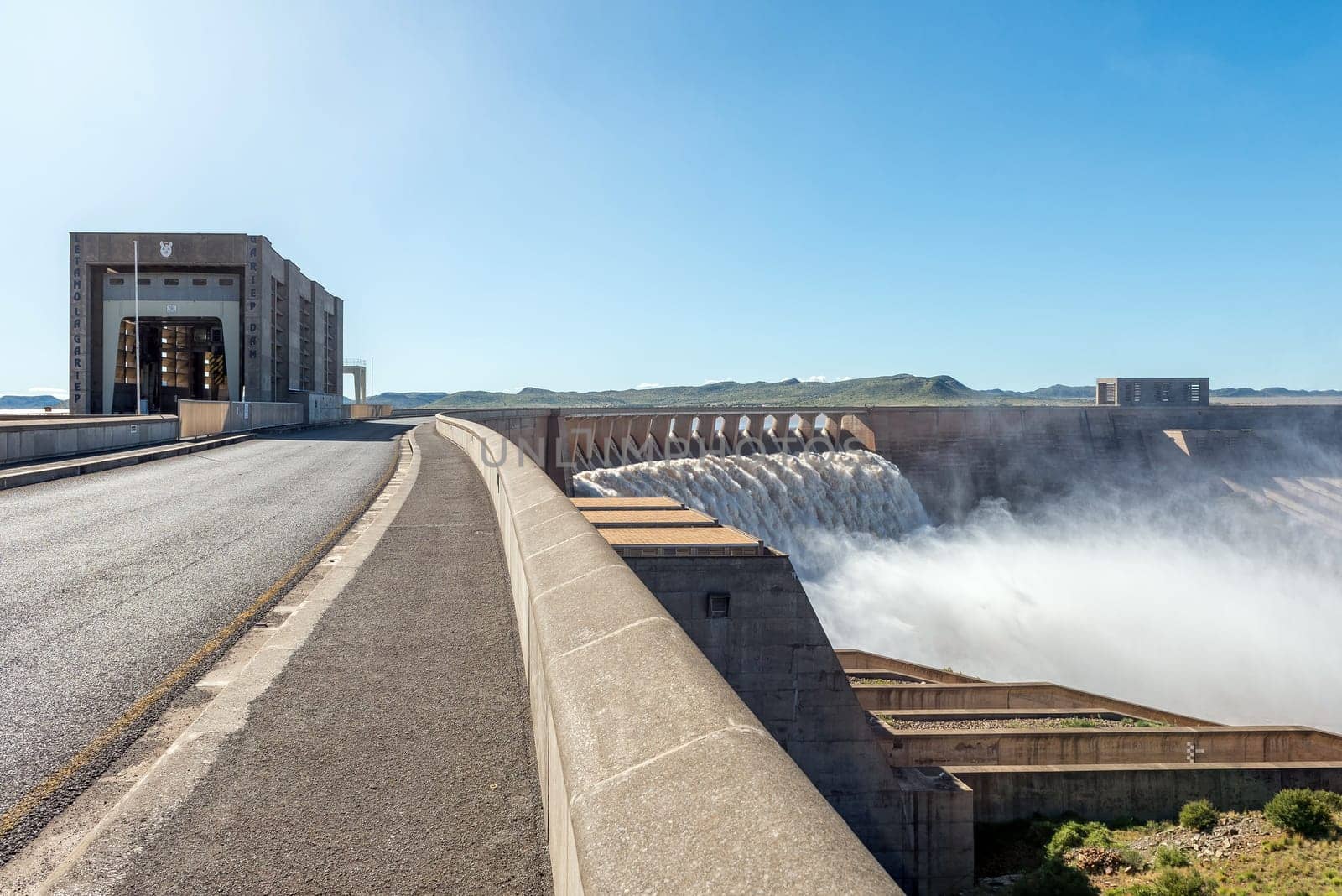
The largest dam in South Africa, the Gariep Dam, overflowing
Stock PhotoUsername
dpreezgResolution
3595x2400pxThe largest dam in South Africa, the Gariep Dam, overflowing

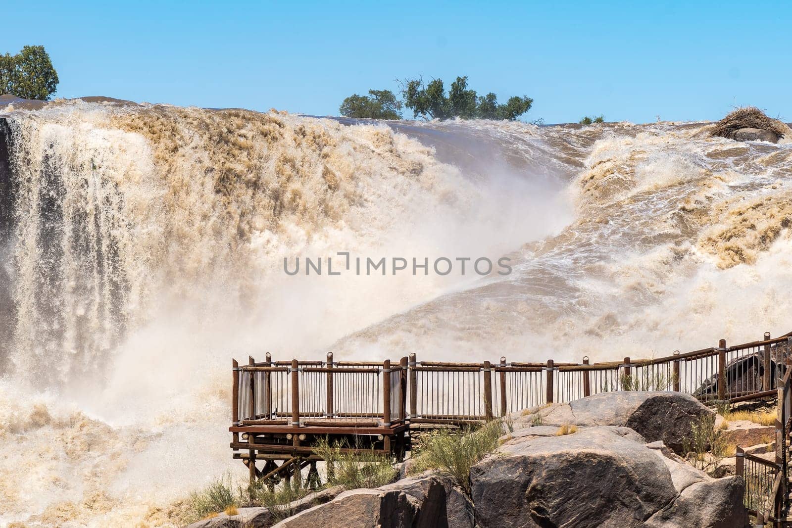
Viewpoint at the main Augrabies waterfall in flooded Orange River
Stock PhotoUsername
dpreezgResolution
3600x2400pxViewpoint at the main Augrabies waterfall in flooded Orange River

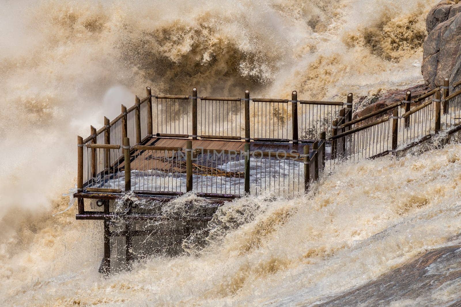
Flooded viewpoint at the main Augrabies waterfall
Stock PhotoUsername
dpreezgResolution
3600x2400pxFlooded viewpoint at the main Augrabies waterfall

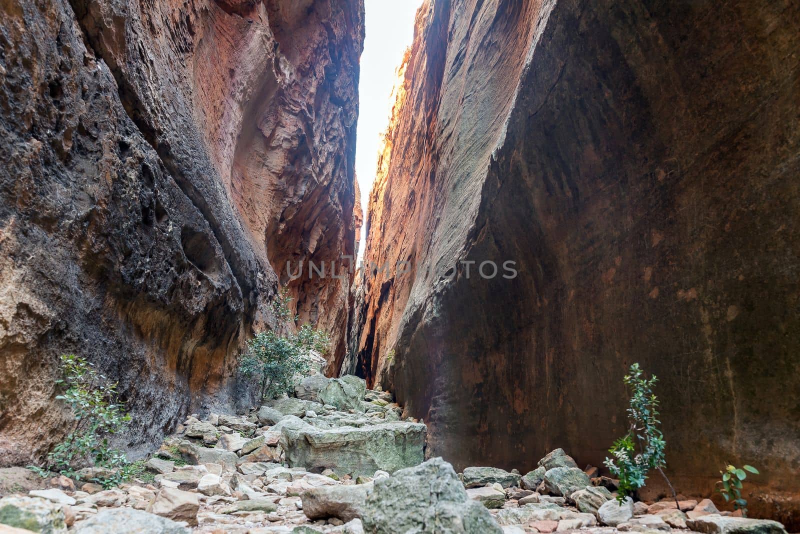
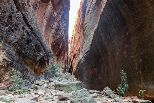
Inside the narrow Wolfberg Crack
Stock PhotoUsername
dpreezgResolution
3146x2100pxInside the narrow Wolfberg Crack
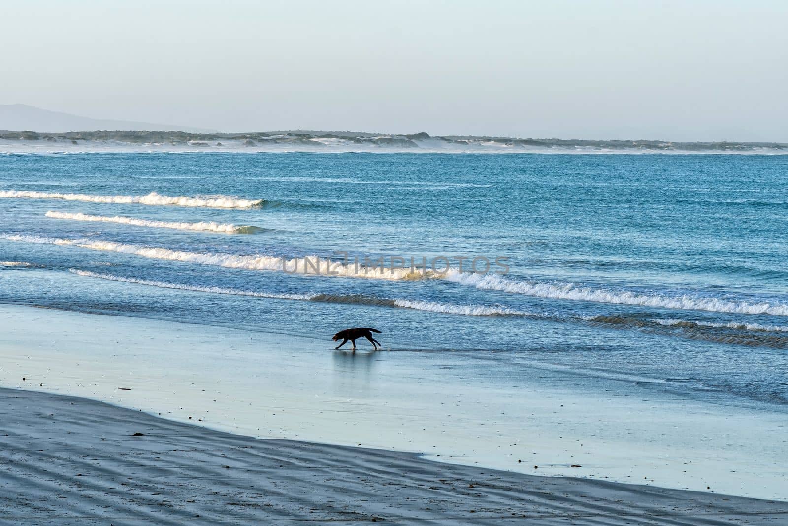
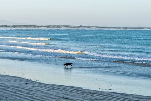
Dog running on the beach in Struisbaai at sunset
Stock PhotoUsername
dpreezgResolution
3600x2400pxDog running on the beach in Struisbaai at sunset

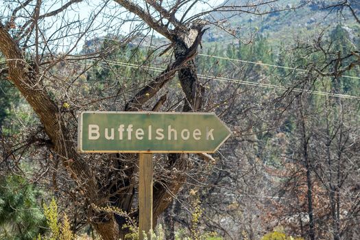
Directional sign at Buffelshoek on road R303
Stock PhotoUsername
dpreezgResolution
3150x2100pxDirectional sign at Buffelshoek on road R303

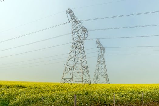
Power transmission route in a yellow canola field in fog
Stock PhotoUsername
dpreezgResolution
3595x2400pxPower transmission route in a yellow canola field in fog
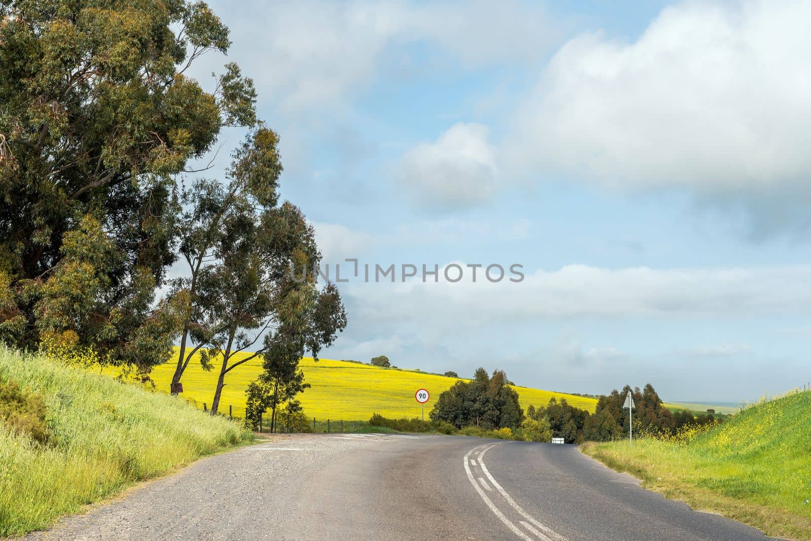
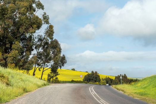
Yellow canola fields next to Malanshoogte Road
Stock PhotoUsername
dpreezgResolution
3595x2400pxYellow canola fields next to Malanshoogte Road
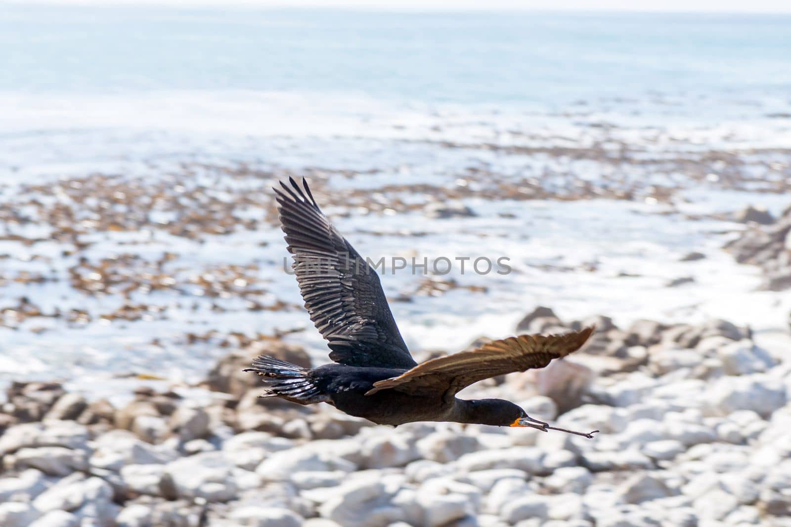
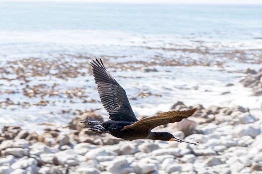
Cape Cormorant flying with nesting material in its beak
Stock PhotoUsername
dpreezgResolution
3000x2000pxCape Cormorant flying with nesting material in its beak

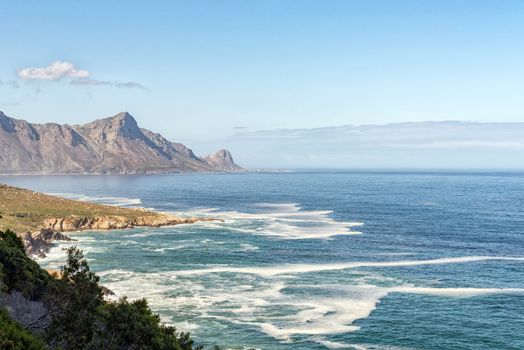
Rooiels is visible across the bay from Clarence Drive
Stock PhotoUsername
dpreezgResolution
3595x2400pxRooiels is visible across the bay from Clarence Drive

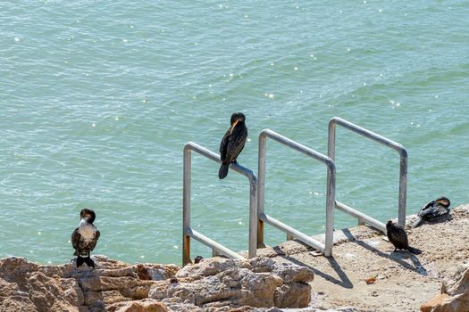
Cormorants at remnant of the whaling station at Stony Point
Stock PhotoUsername
dpreezgResolution
3600x2400pxCormorants at remnant of the whaling station at Stony Point
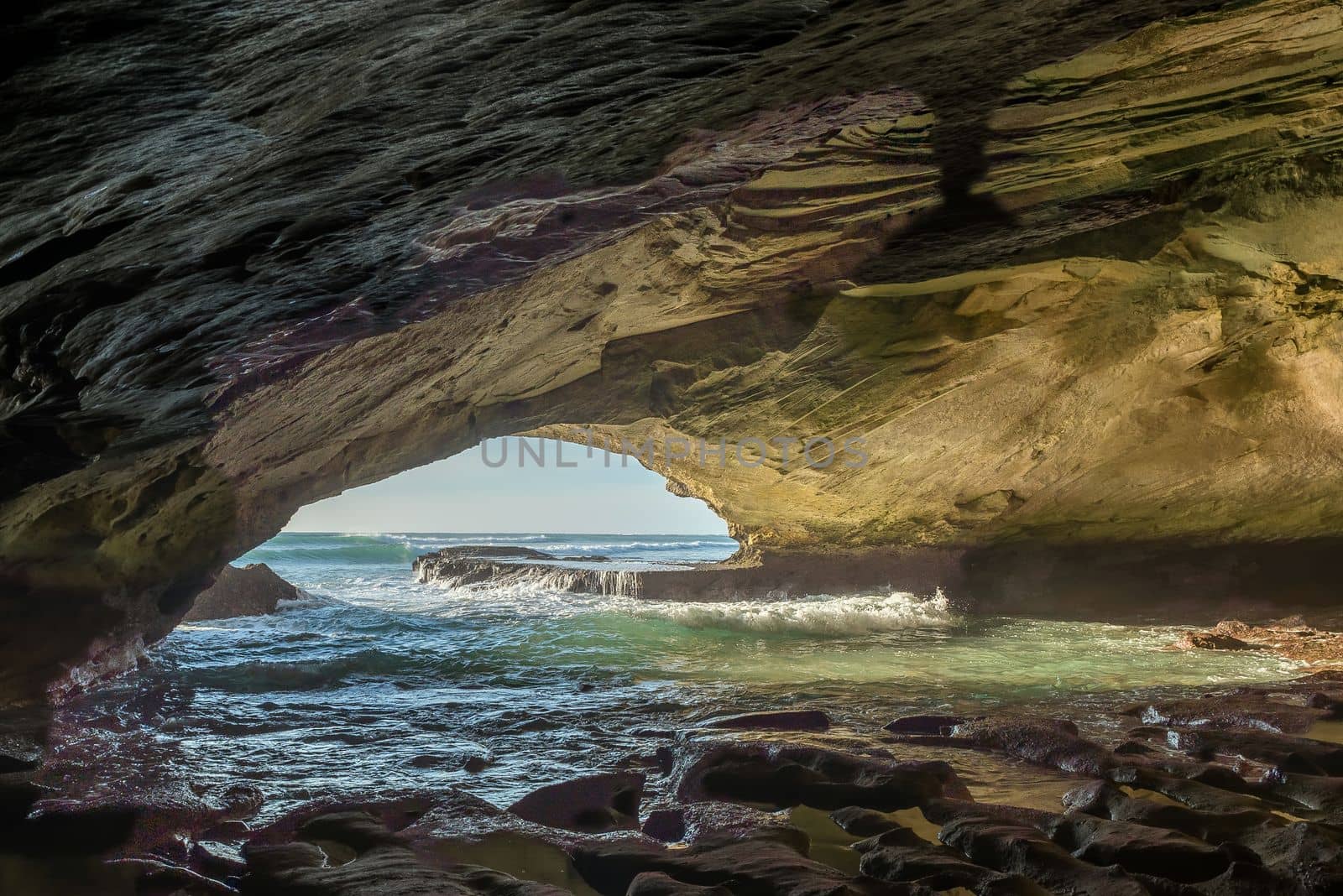
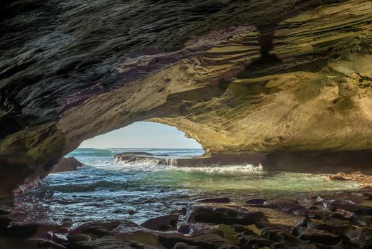
Inside the Waenhuiskrans Cave near Arniston
Stock PhotoUsername
dpreezgResolution
3595x2400pxInside the Waenhuiskrans Cave near Arniston