- Filter By:
-
-
Stock photos and images of username:Marcus
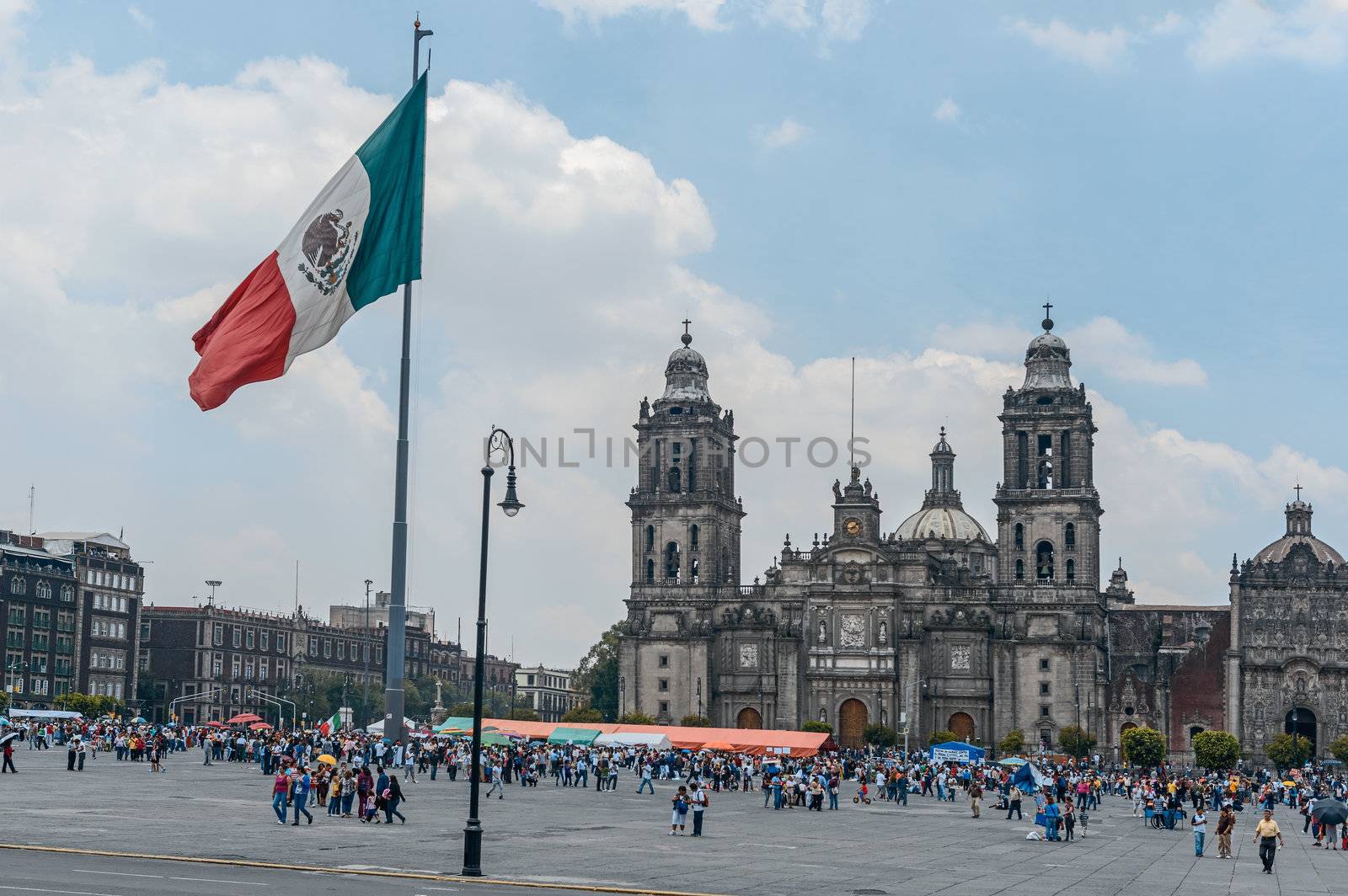
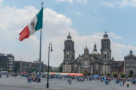
The Metropolitan Cathedral of the Assumption of Mary, Mexico Cit
Editorial LicenseUsername
MarcusResolution
6500x4324pxThe Metropolitan Cathedral of the Assumption of Mary, Mexico Cit
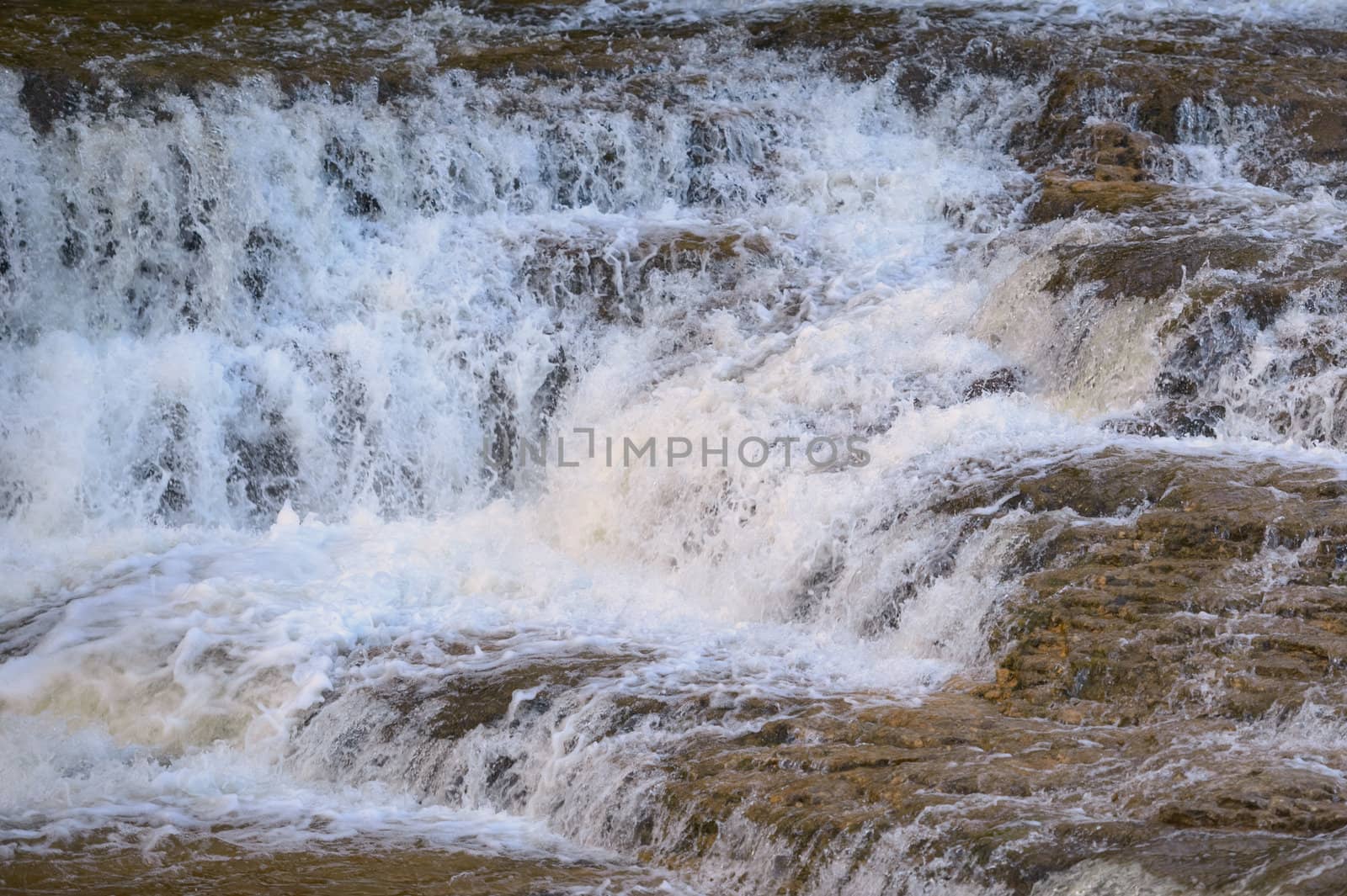
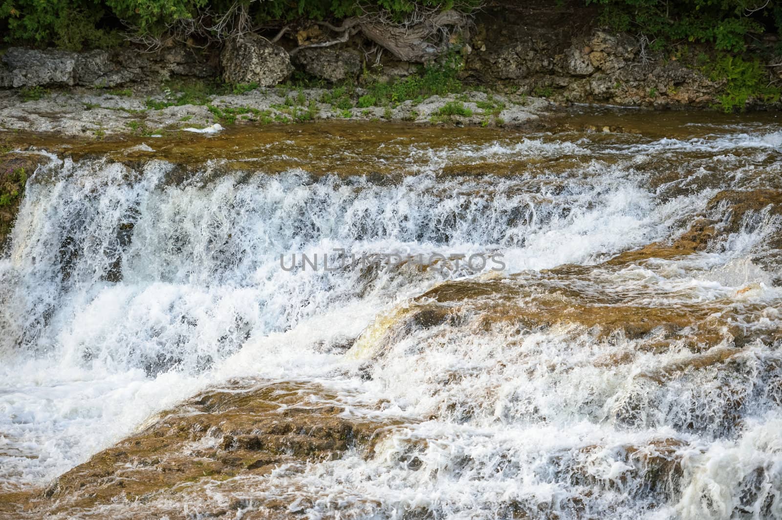
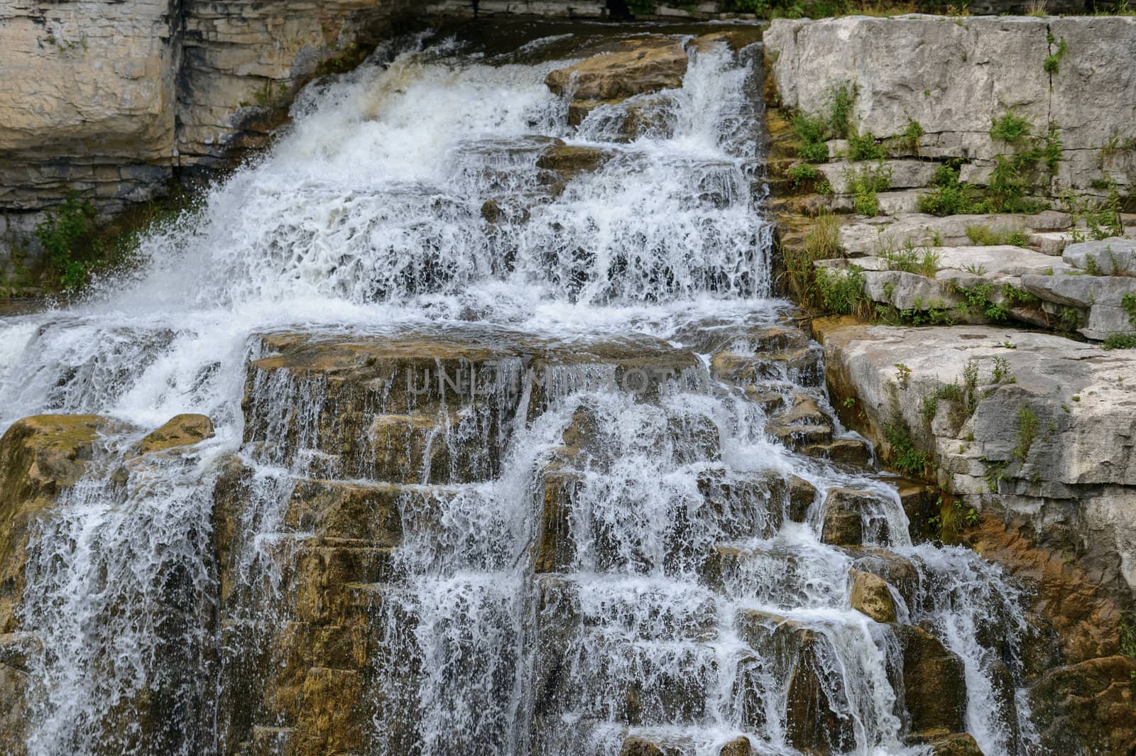
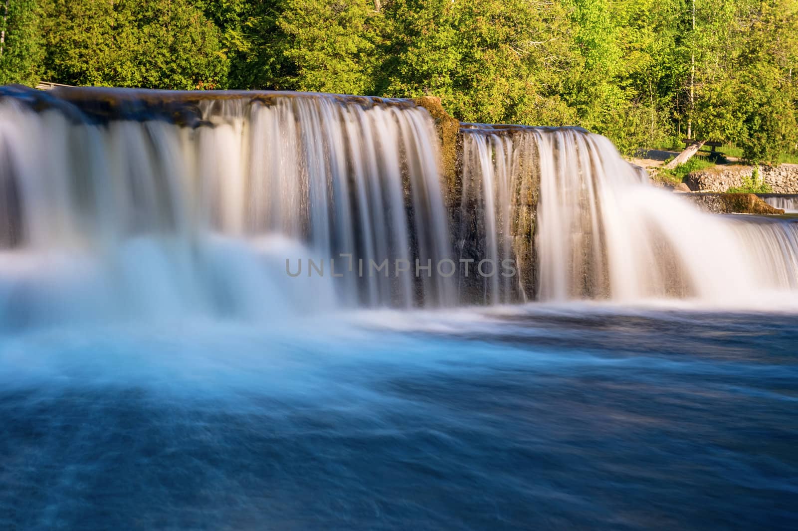
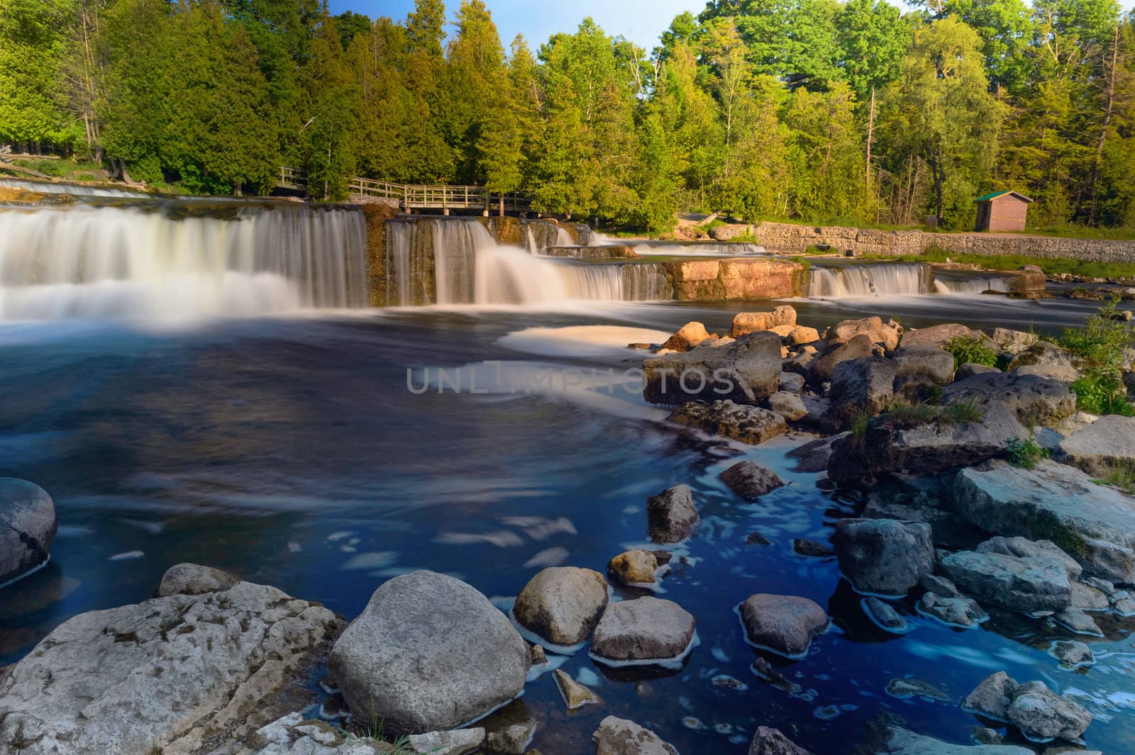
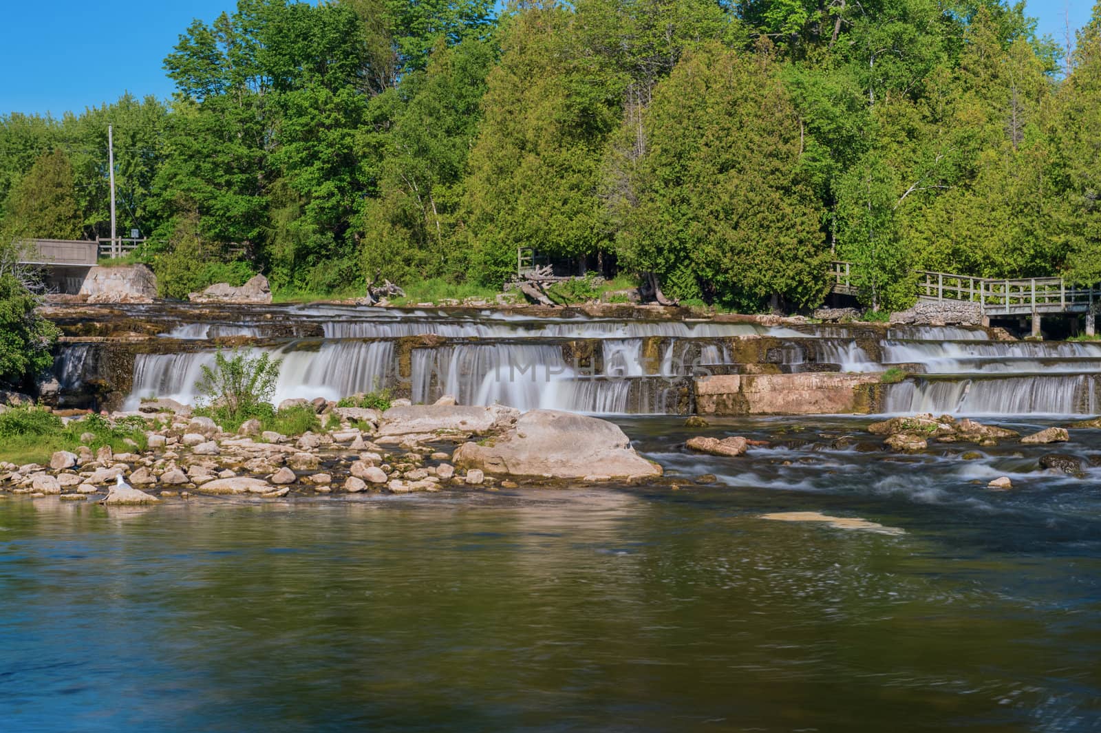
McGowan Falls in Grey County of Durham, Ontario, Canada
Stock PhotoUsername
MarcusResolution
3958x2635pxMcGowan Falls in Grey County of Durham, Ontario, Canada

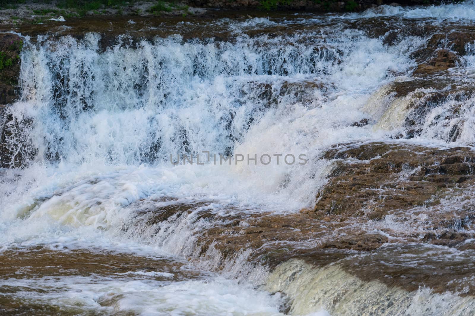
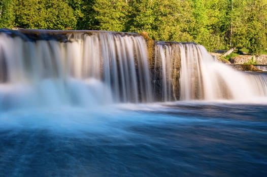
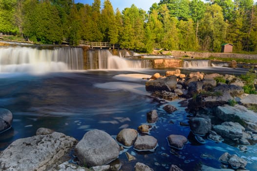
McGowan Falls in Grey County of Durham, Ontario, Canada
Stock PhotoUsername
MarcusResolution
4928x3280pxMcGowan Falls in Grey County of Durham, Ontario, Canada

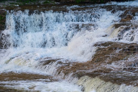
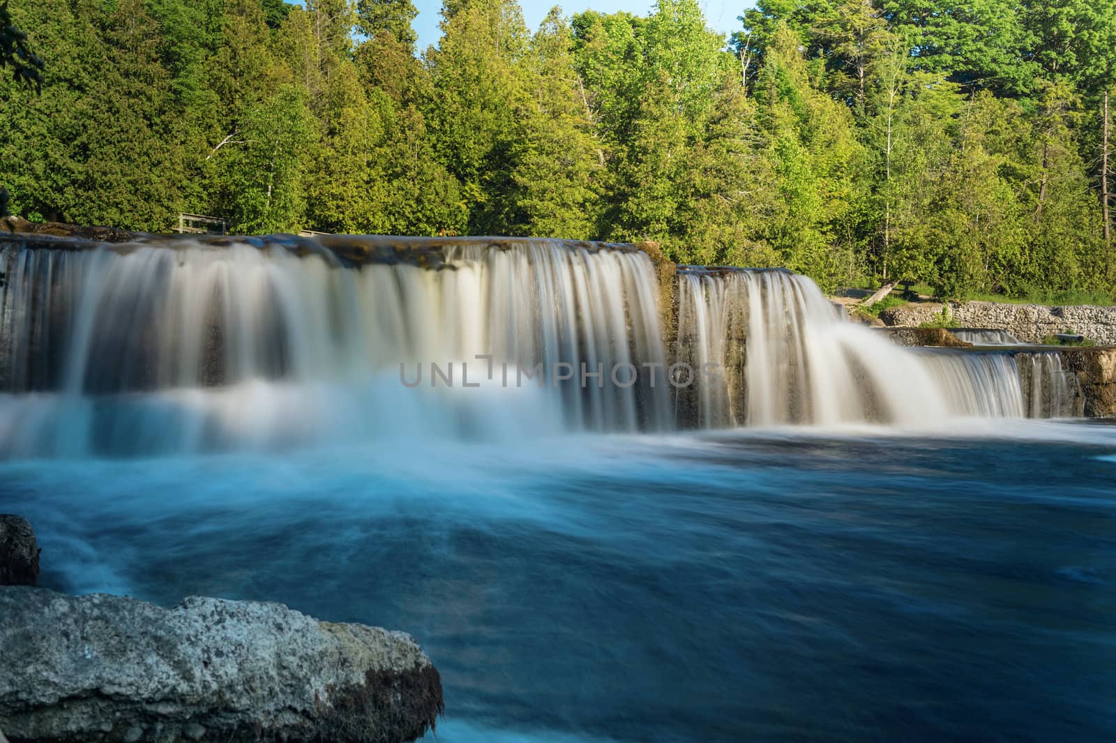
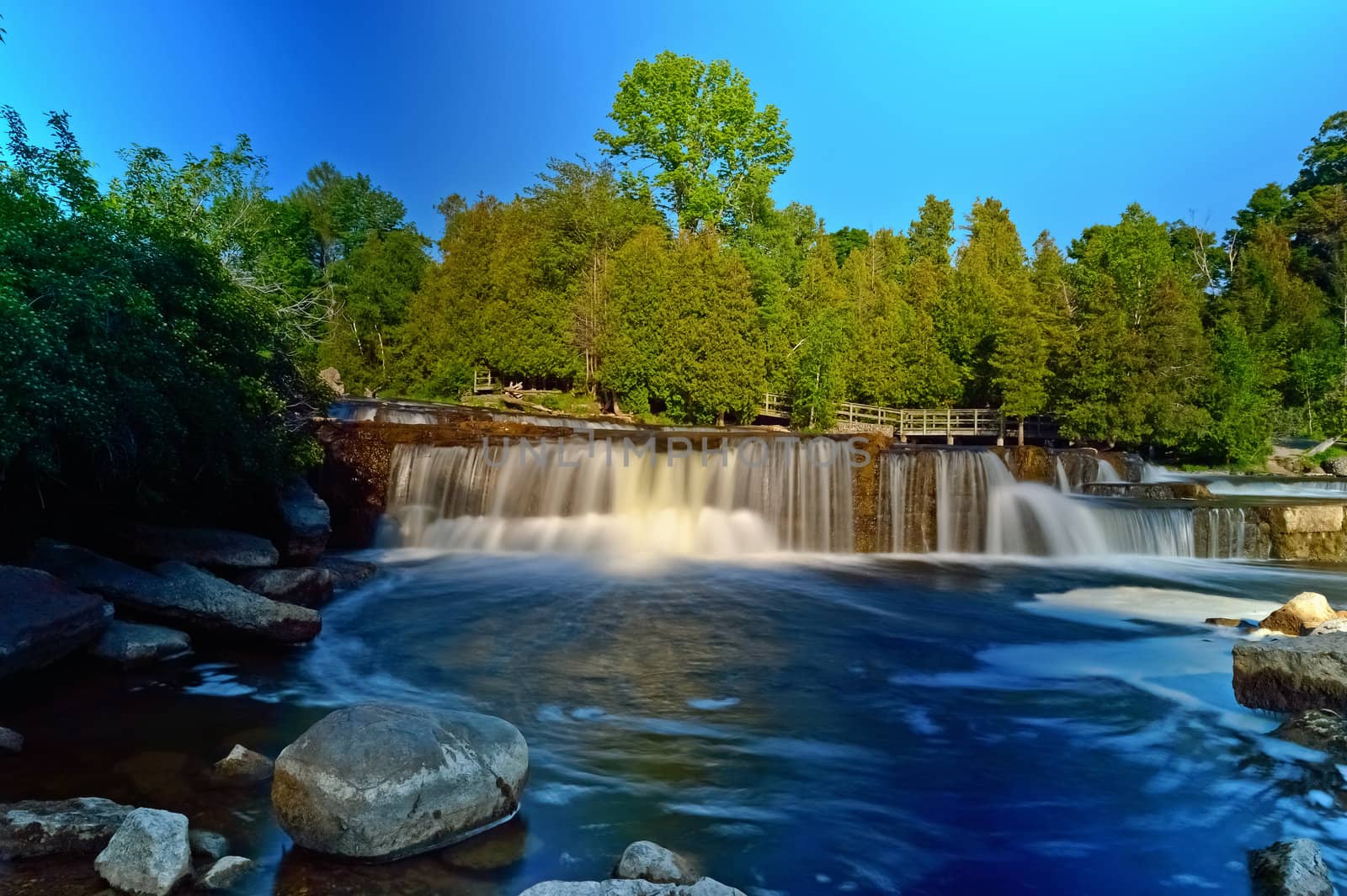
McGowan Falls in Grey County of Durham, Ontario, Canada
Stock PhotoUsername
MarcusResolution
4928x3280pxMcGowan Falls in Grey County of Durham, Ontario, Canada

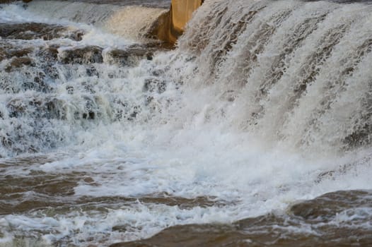
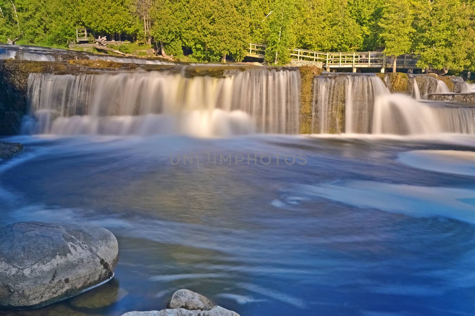
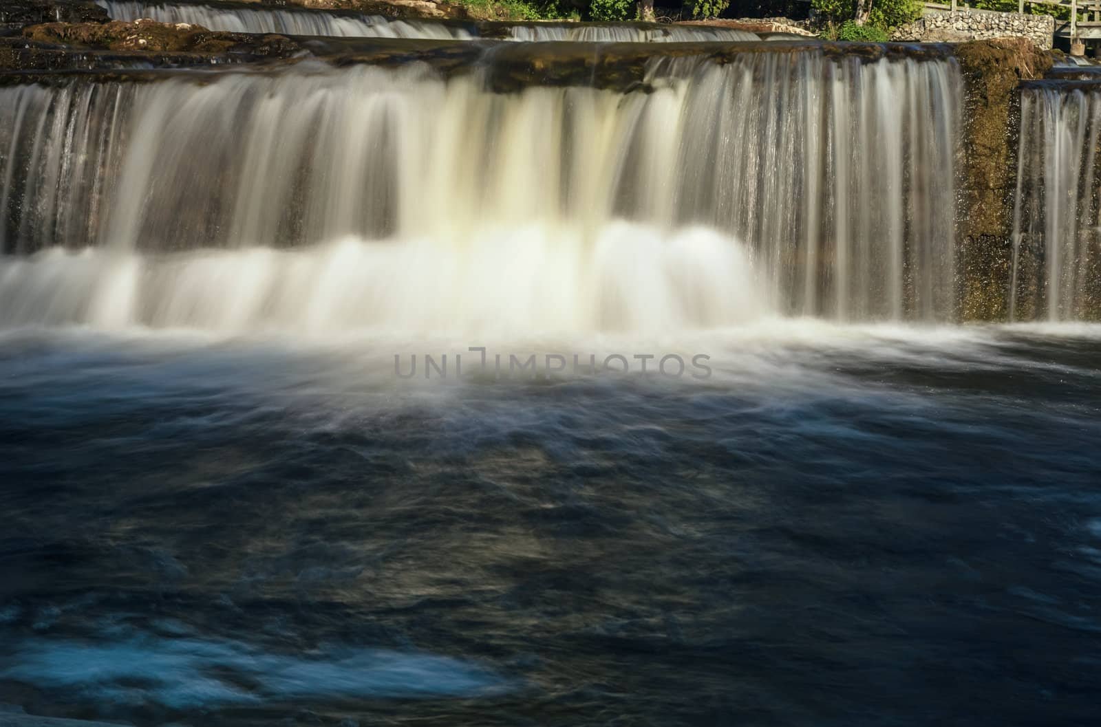
McGowan Falls in Grey County of Durham, Ontario, Canada
Stock PhotoUsername
MarcusResolution
4928x3280pxMcGowan Falls in Grey County of Durham, Ontario, Canada
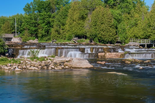
Inglis Falls in Owen Sound, Ontario, Canada
Stock PhotoUsername
MarcusResolution
4928x3280pxInglis Falls in Owen Sound, Ontario, Canada

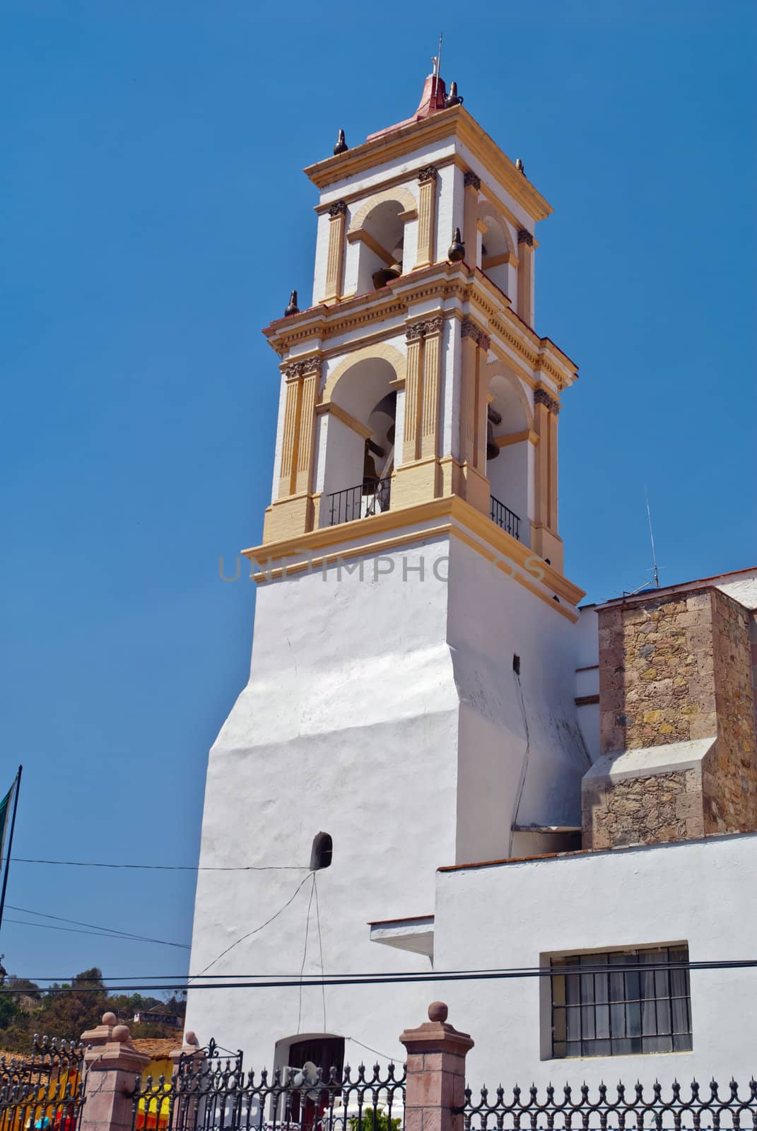
Catholic Church in Mexico
Stock PhotoUsername
MarcusResolution
2592x3872pxCatholic Church in Mexico


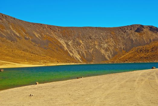
Nevado de Toluca, old Volcano near Toluca Mexico
Stock PhotoUsername
MarcusResolution
3872x2592pxNevado de Toluca, old Volcano near Toluca Mexico
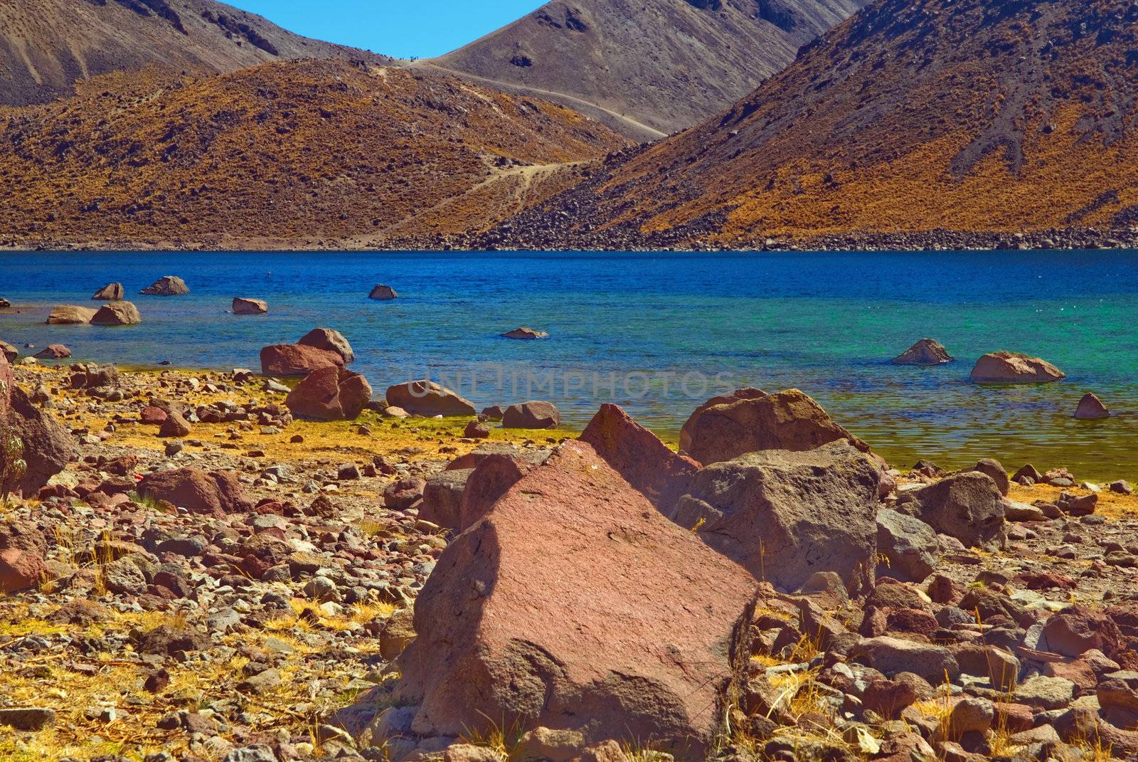
Nevado de Toluca, old Volcano near Toluca Mexico
Stock PhotoUsername
MarcusResolution
3632x2431pxNevado de Toluca, old Volcano near Toluca Mexico


Nevado de Toluca, old Volcano near Toluca Mexico
Stock PhotoUsername
MarcusResolution
3090x2068pxNevado de Toluca, old Volcano near Toluca Mexico
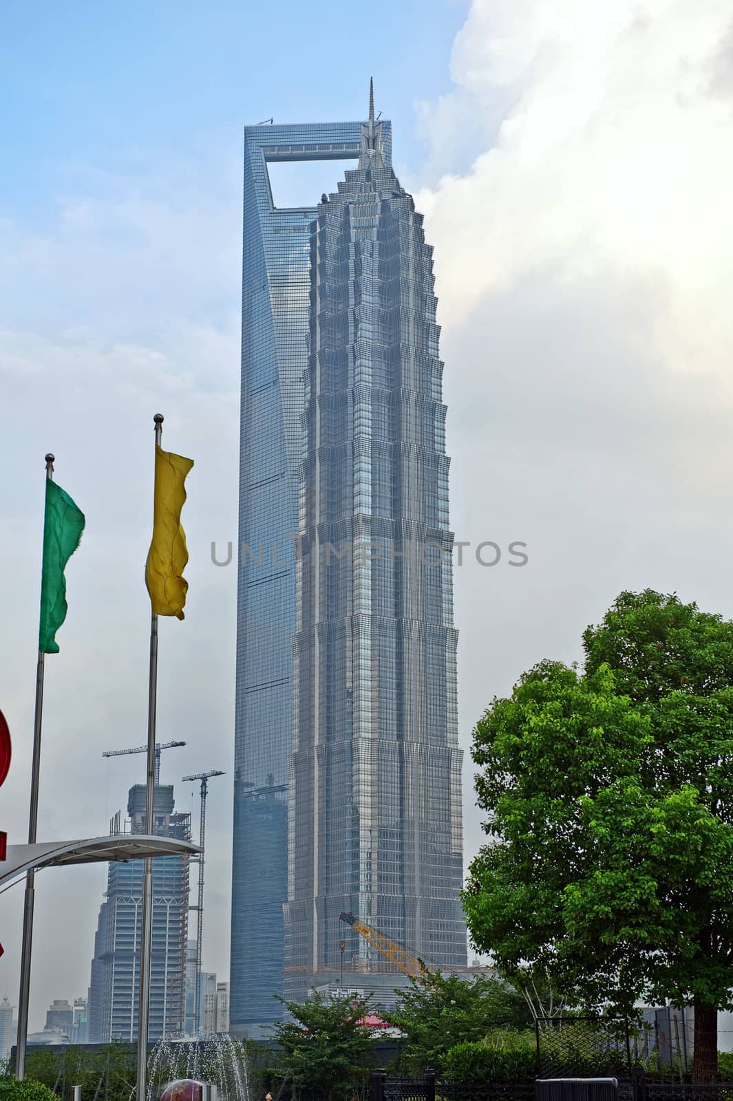
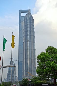
Shanghai World Financial Centre and Jinmao Tower, Pudong
Stock PhotoUsername
MarcusResolution
2832x4256pxShanghai World Financial Centre and Jinmao Tower, Pudong

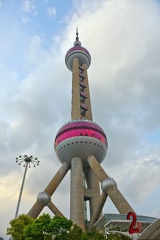
Oriental Pearl Tower In Shanghai, China
Stock PhotoUsername
MarcusResolution
2832x4256pxOriental Pearl Tower In Shanghai, China
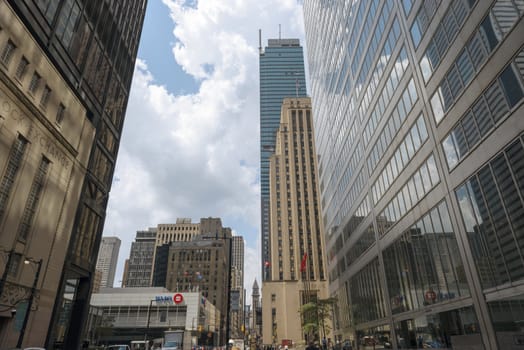
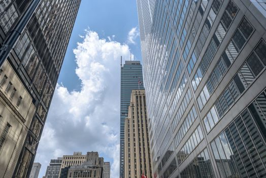
Toronto downtown skyscrapers on Bay Street
Stock PhotoUsername
MarcusResolution
7360x4912pxToronto downtown skyscrapers on Bay Street
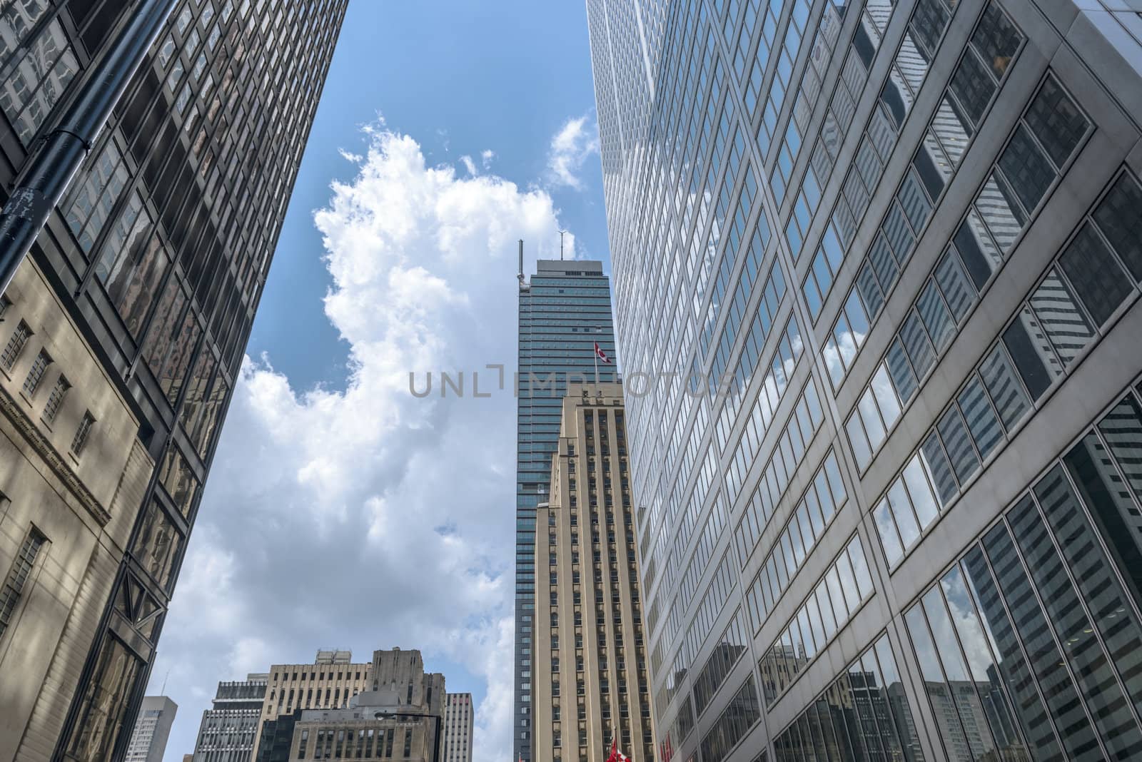
Toronto downtown skyscrapers on Bay Street
Stock PhotoUsername
MarcusResolution
7360x4912pxToronto downtown skyscrapers on Bay Street
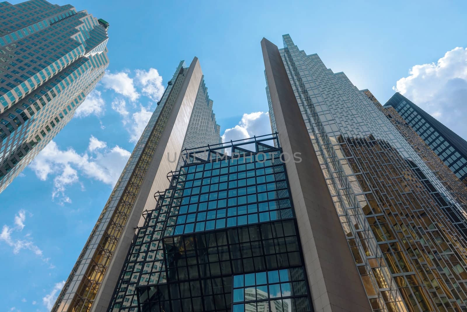
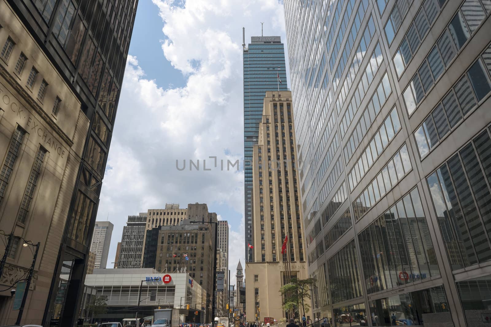
Toronto Skyscraper Office Towers
Stock PhotoUsername
MarcusResolution
7360x4912pxToronto Skyscraper Office Towers


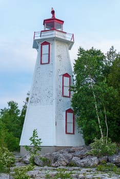
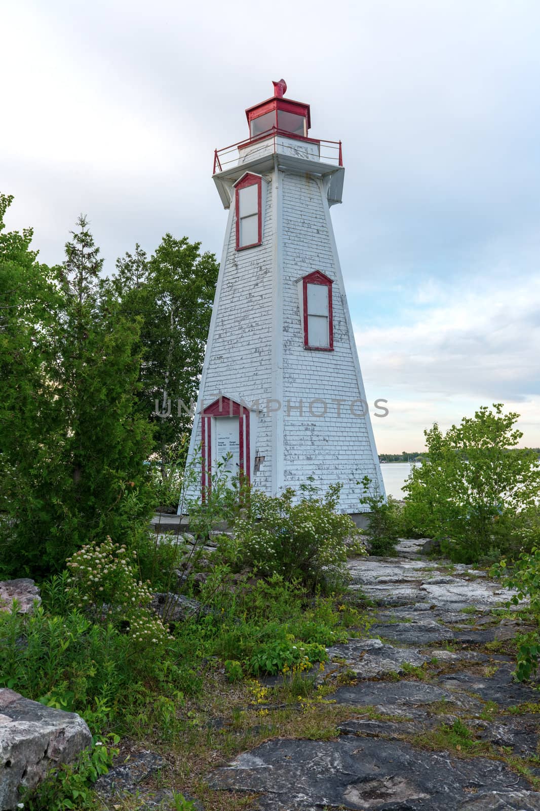
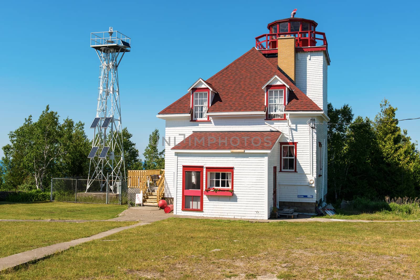
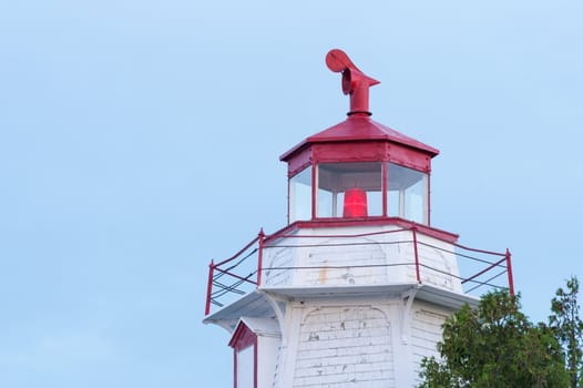
Big Tube Lighthouse in Tobermory In Bruce Peninsula, Ontario, Ca
Stock PhotoUsername
MarcusResolution
4912x7360pxBig Tube Lighthouse in Tobermory In Bruce Peninsula, Ontario, Ca
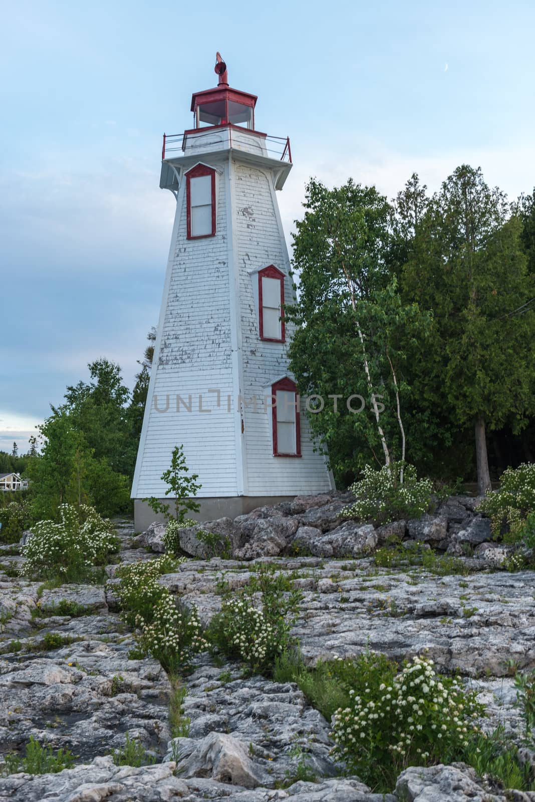
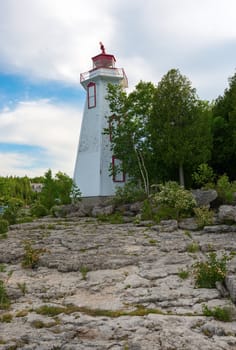
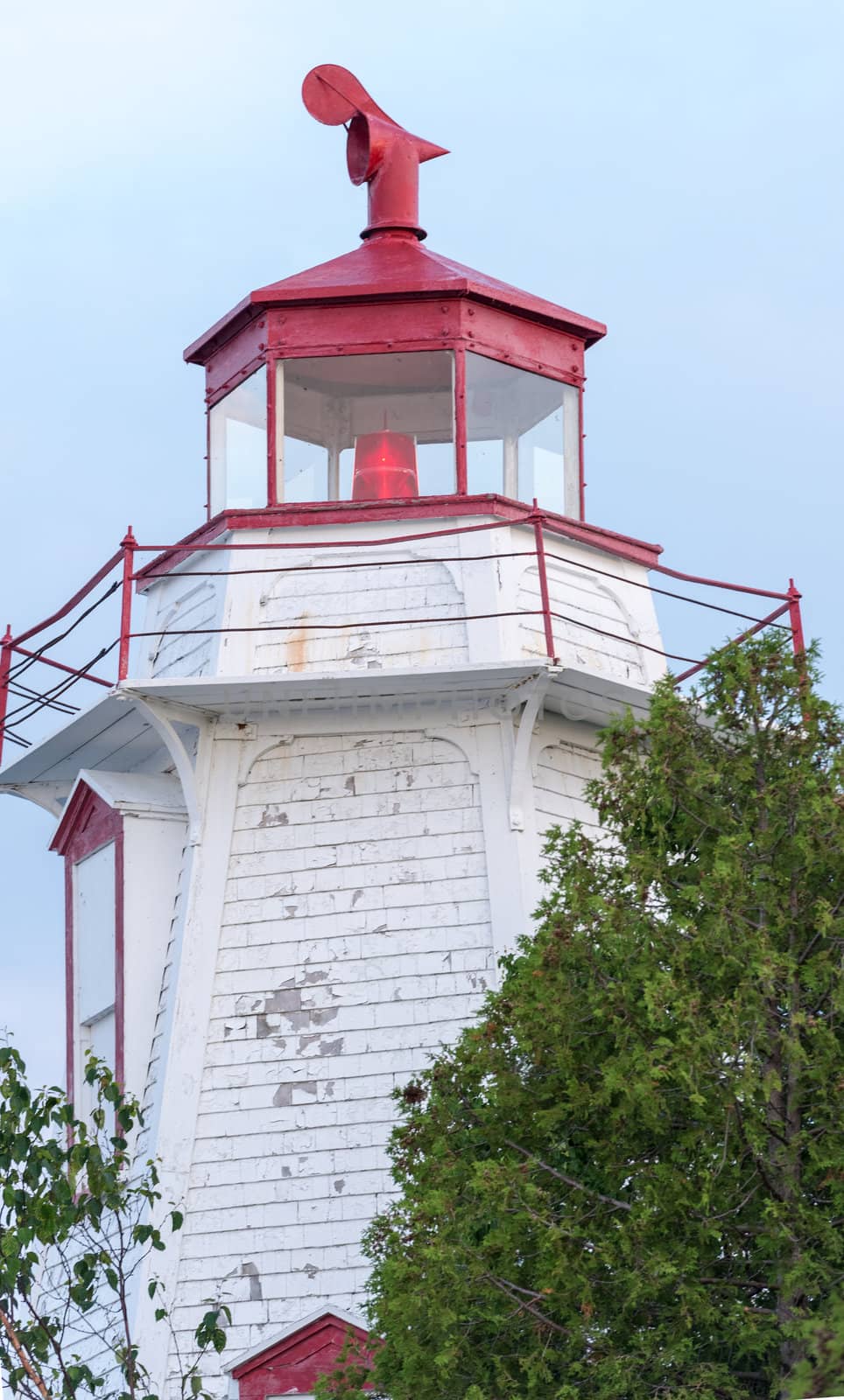
Big Tube Lighthouse in Tobermory In Bruce Peninsula, Ontario, Ca
Stock PhotoUsername
MarcusResolution
4912x7360pxBig Tube Lighthouse in Tobermory In Bruce Peninsula, Ontario, Ca
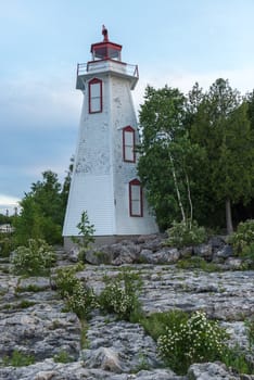
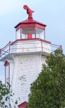
Big Tube Lighthouse in Tobermory, Bruce Peninsula, Ontario, Can
Stock PhotoUsername
MarcusResolution
4713x7077pxBig Tube Lighthouse in Tobermory, Bruce Peninsula, Ontario, Can


Big Tube Lighthouse in Tobermory In Bruce Peninsula, Ontario, Ca
Stock PhotoUsername
MarcusResolution
4772x7068pxBig Tube Lighthouse in Tobermory In Bruce Peninsula, Ontario, Ca
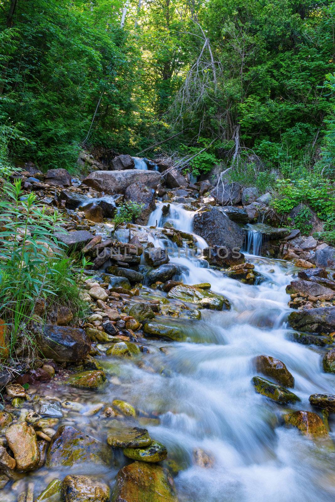
River in Bruce Peninsula, Ontario Canada
Stock PhotoUsername
MarcusResolution
4000x5993pxRiver in Bruce Peninsula, Ontario Canada

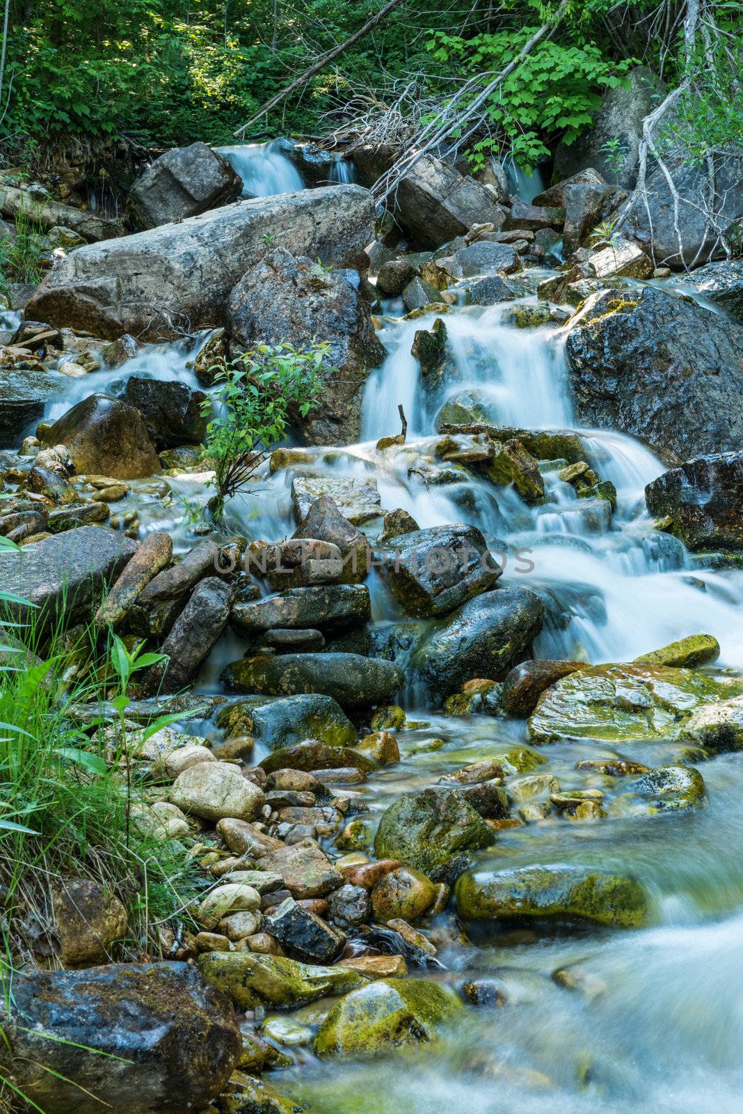
River in Bruce Peninsula, Ontario Canada
Stock PhotoUsername
MarcusResolution
4000x5993pxRiver in Bruce Peninsula, Ontario Canada

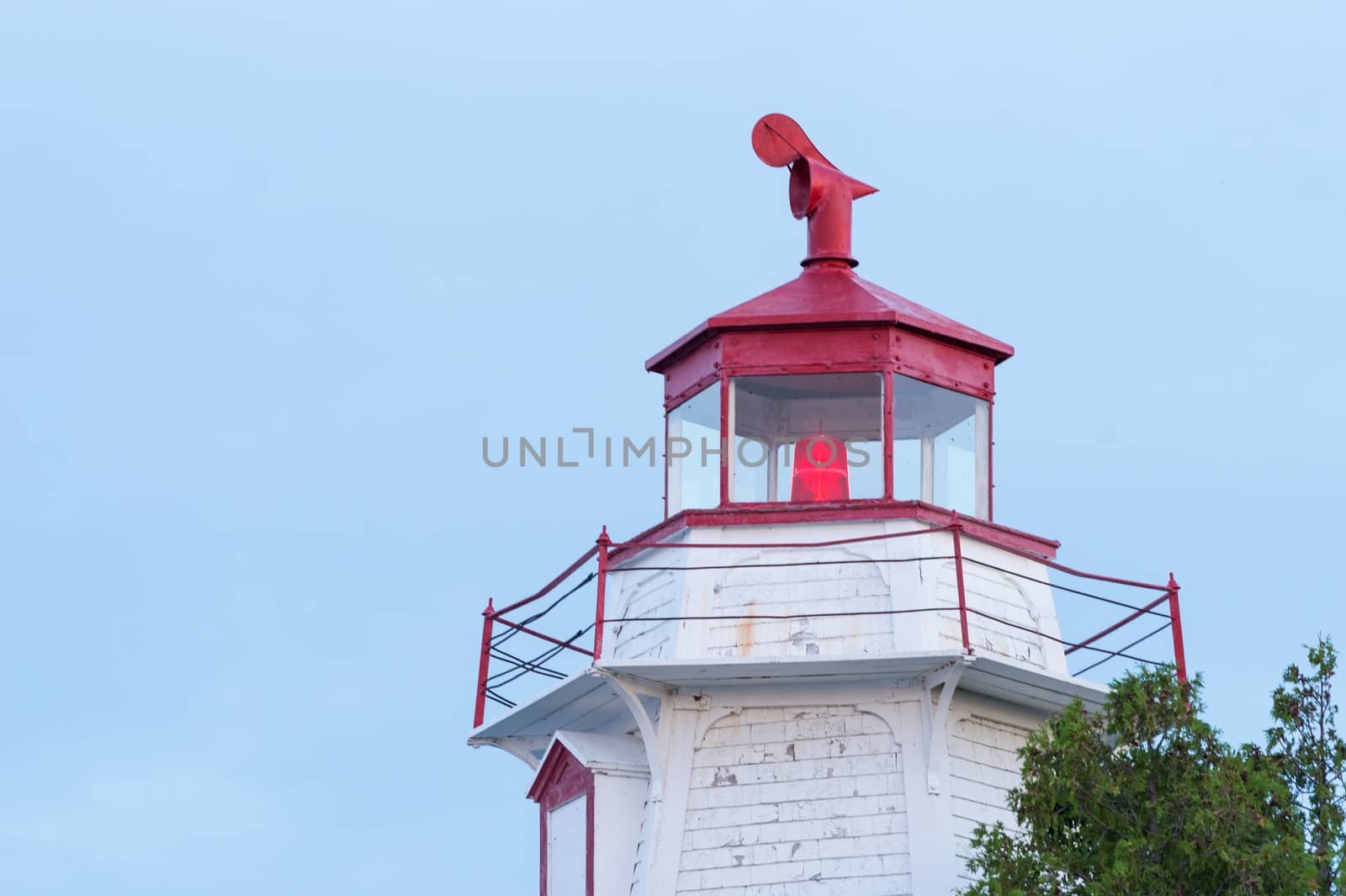
Cabot Head Lighthouse Bruce Peninsula, Ontario, Canada
Stock PhotoUsername
MarcusResolution
5993x4000pxCabot Head Lighthouse Bruce Peninsula, Ontario, Canada

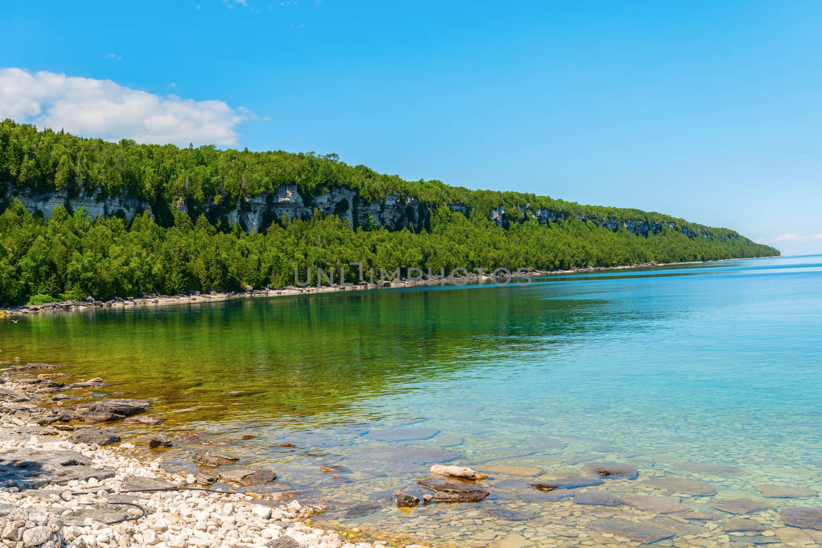
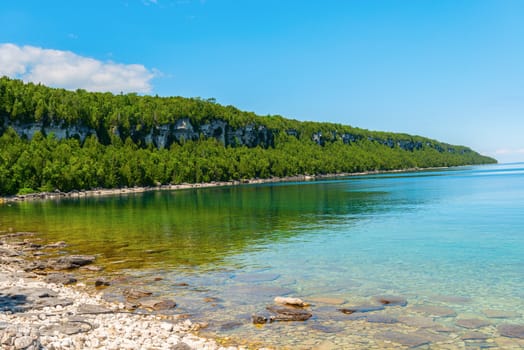
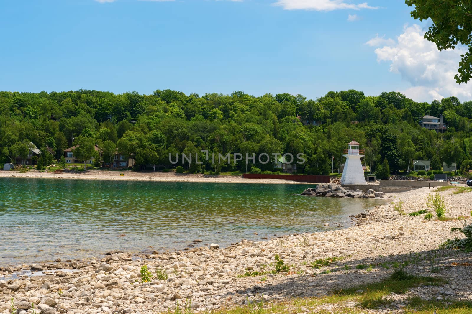
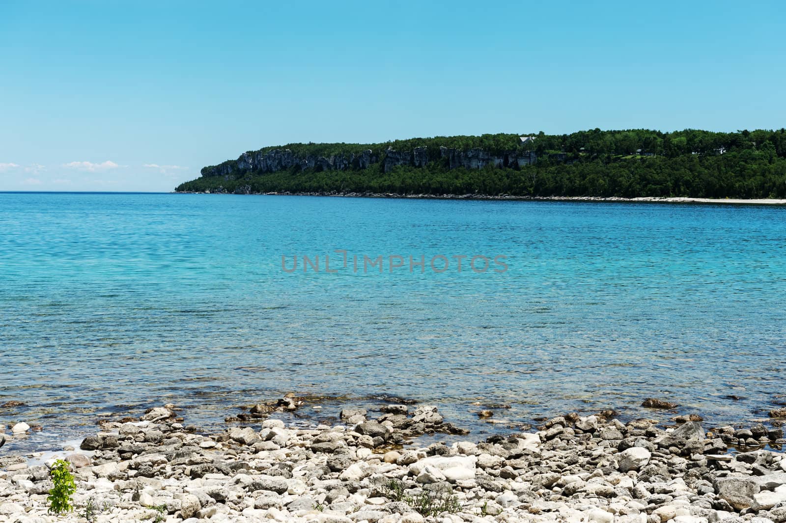
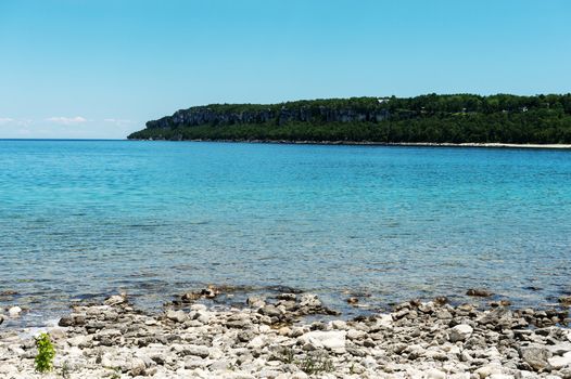
Bruce Peninsula Georgian Bay coastline and crystal clear water
Stock PhotoUsername
MarcusResolution
5993x4000pxBruce Peninsula Georgian Bay coastline and crystal clear water
Big Tube Lighthouse in Tobermory In Bruce Peninsula, Ontario, Ca
Stock PhotoUsername
MarcusResolution
4309x2868pxBig Tube Lighthouse in Tobermory In Bruce Peninsula, Ontario, Ca
Big Tube Lighthouse in Tobermory In Bruce Peninsula, Ontario, Ca
Stock PhotoUsername
MarcusResolution
2920x4844pxBig Tube Lighthouse in Tobermory In Bruce Peninsula, Ontario, Ca
Lion's Head Lighthouse in Bruce Peninsula, Ontario, Canada
Stock PhotoUsername
MarcusResolution
4928x3280pxLion's Head Lighthouse in Bruce Peninsula, Ontario, Canada

Lion's head, Bruce Peninsula, Ontario, Canada
Stock PhotoUsername
MarcusResolution
4928x3280pxLion's head, Bruce Peninsula, Ontario, Canada
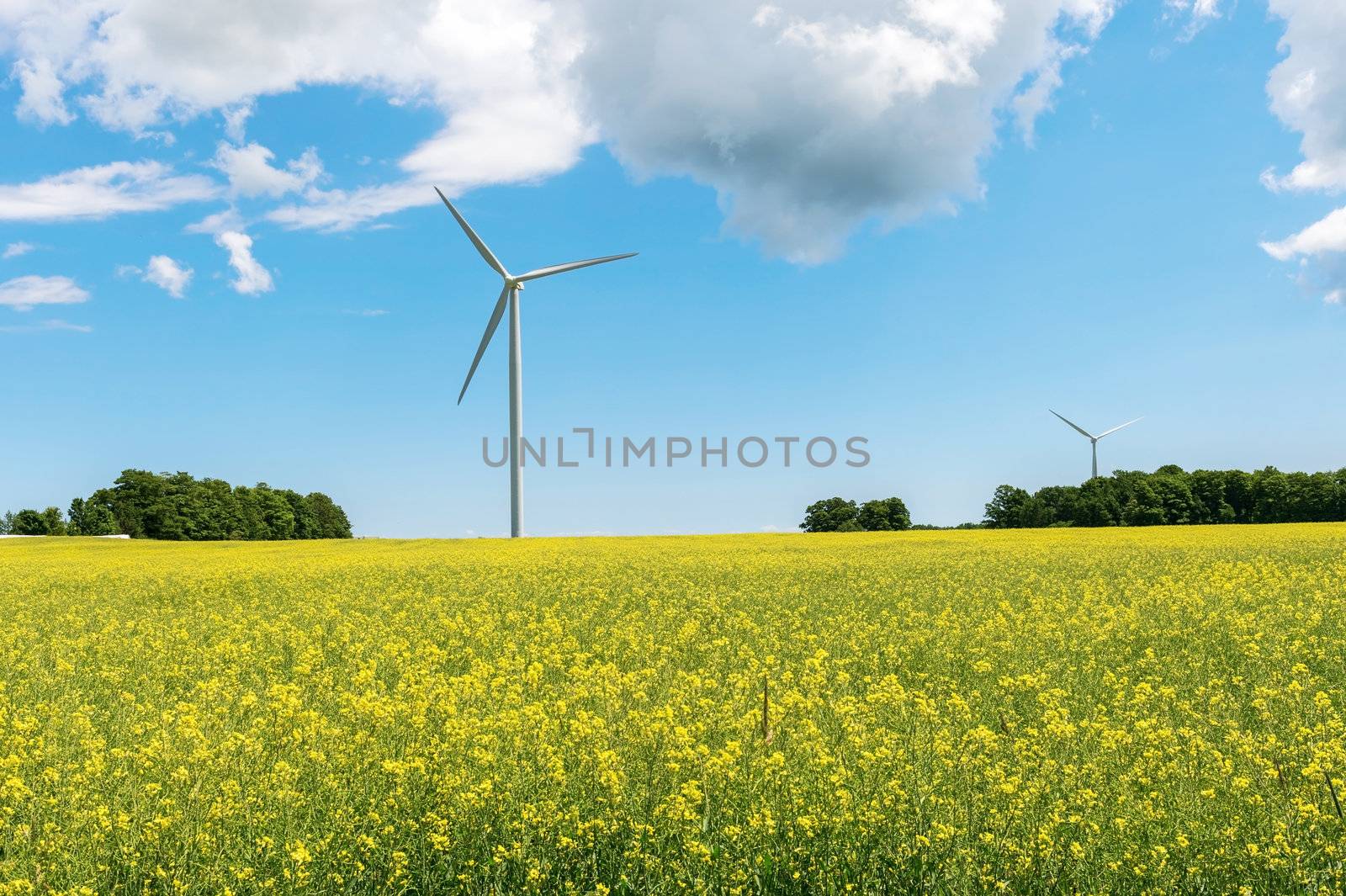
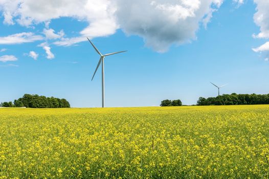
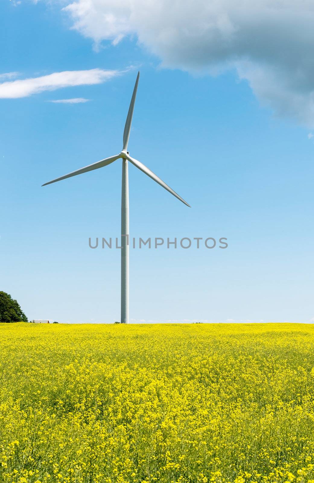
Windmill
Stock PhotoUsername
MarcusResolution
4670x3109pxWindmill
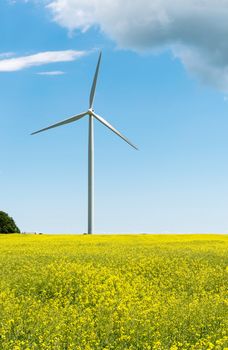
Windmill
Stock PhotoUsername
MarcusResolution
3160x4856pxWindmill
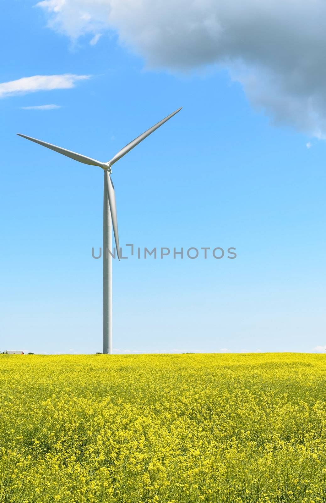
Windmill
Stock PhotoUsername
MarcusResolution
2961x4565pxWindmill
Sauble Falls in South Bruce Peninsula, Ontario, Canada
Stock PhotoUsername
MarcusResolution
4928x3280pxSauble Falls in South Bruce Peninsula, Ontario, Canada
Sauble Falls in South Bruce Peninsula, Ontario, Canada
Stock PhotoUsername
MarcusResolution
4928x3280pxSauble Falls in South Bruce Peninsula, Ontario, Canada

Sauble Falls in South Bruce Peninsula, Ontario, Canada
Stock PhotoUsername
MarcusResolution
4928x3280pxSauble Falls in South Bruce Peninsula, Ontario, Canada

Sauble Falls in South Bruce Peninsula, Ontario, Canada
Stock PhotoUsername
MarcusResolution
4928x3280pxSauble Falls in South Bruce Peninsula, Ontario, Canada
Sauble Falls in South Bruce Peninsula, Ontario, Canada
Stock PhotoUsername
MarcusResolution
4928x3280pxSauble Falls in South Bruce Peninsula, Ontario, Canada

Sauble Falls in South Bruce Peninsula, Ontario, Canada
Stock PhotoUsername
MarcusResolution
4856x3208pxSauble Falls in South Bruce Peninsula, Ontario, Canada

Sauble Falls in South Bruce Peninsula, Ontario, Canada
Stock PhotoUsername
MarcusResolution
4928x3280pxSauble Falls in South Bruce Peninsula, Ontario, Canada

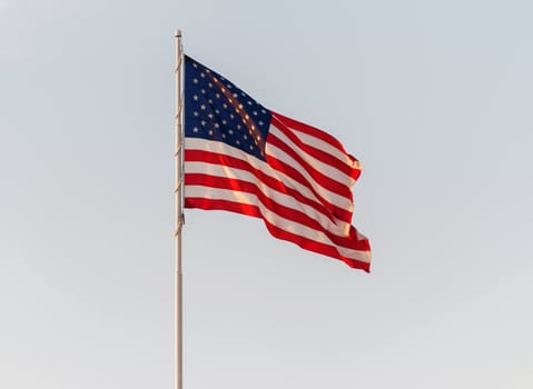
American Flag Flying in front of a clear sky
Stock PhotoUsername
MarcusResolution
3698x2706pxAmerican Flag Flying in front of a clear sky

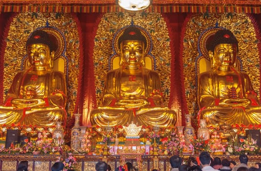
Baolin Temple Seated statues of Buddha. It is located 25 km sout
Stock PhotoUsername
MarcusResolution
4201x2744pxBaolin Temple Seated statues of Buddha. It is located 25 km sout

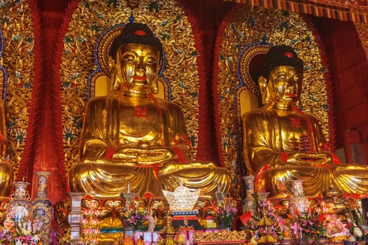
Baolin Temple Seated statues of Buddha. It is located 25 km sout
Stock PhotoUsername
MarcusResolution
4256x2832pxBaolin Temple Seated statues of Buddha. It is located 25 km sout
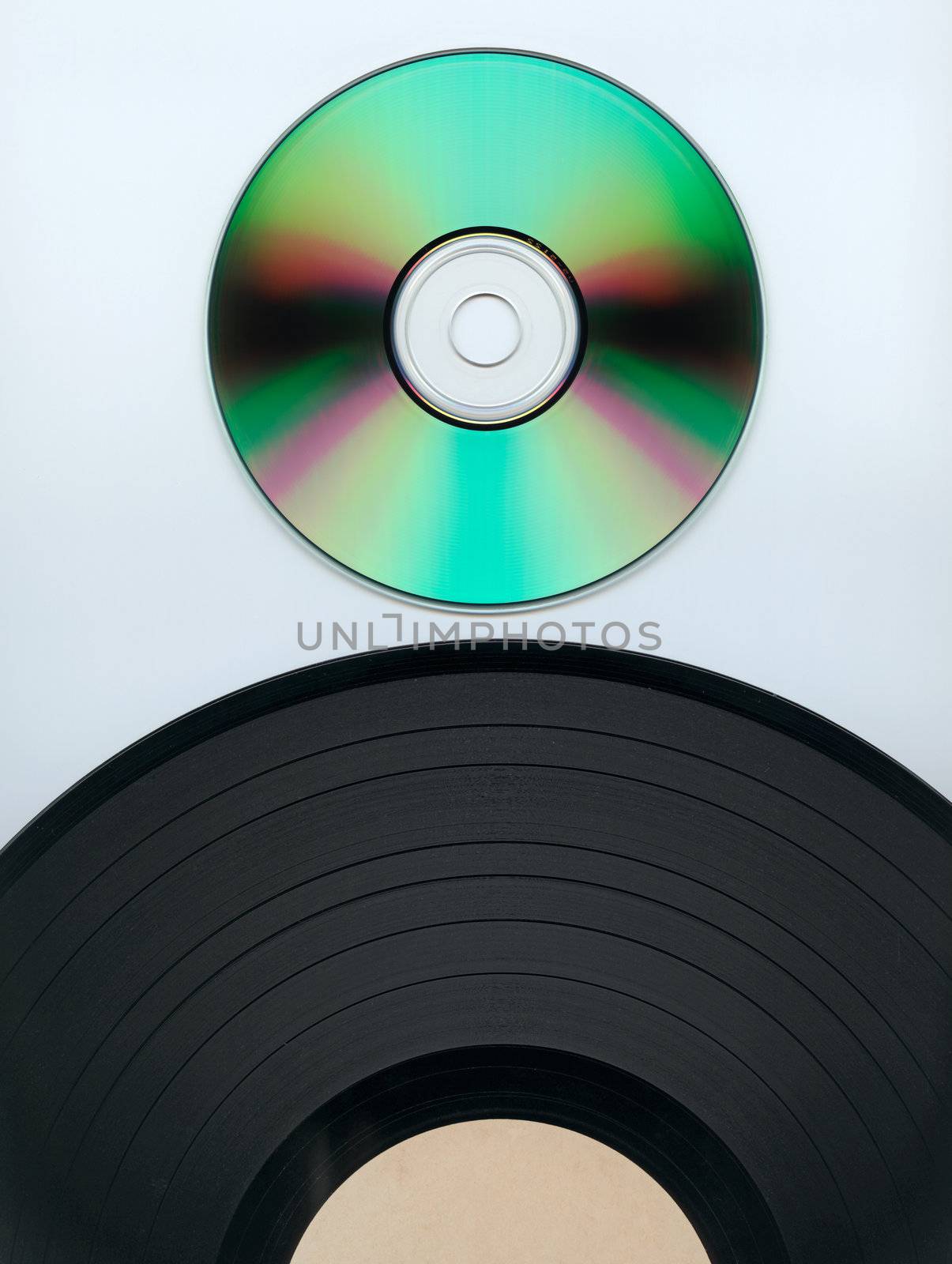
Record and CD
Stock PhotoUsername
MarcusResolution
3981x5285pxRecord and CD
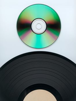

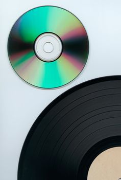
Record and cd
Stock PhotoUsername
MarcusResolution
3431x5063pxRecord and cd
Blank CD
Stock PhotoUsername
MarcusResolution
5766x5952pxBlank CD


Looking away
Stock PhotoUsername
MarcusResolution
2320x2528pxLooking away

Tonque out
Stock PhotoUsername
MarcusResolution
1824x2552pxTonque out

Turkey Dinner
Stock PhotoUsername
MarcusResolution
4187x2832pxTurkey Dinner


Man looking
Stock PhotoUsername
MarcusResolution
2592x3872pxMan looking


Man looking
Stock PhotoUsername
MarcusResolution
2344x3092pxMan looking


Man looking
Stock PhotoUsername
MarcusResolution
2344x3092pxMan looking

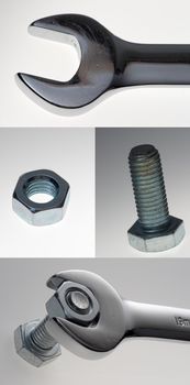
Wrench nut bolt assortment
Stock PhotoUsername
MarcusResolution
4000x8069pxWrench nut bolt assortment