- Filter By:
-
-
Stock photos and images of username:glynspencer
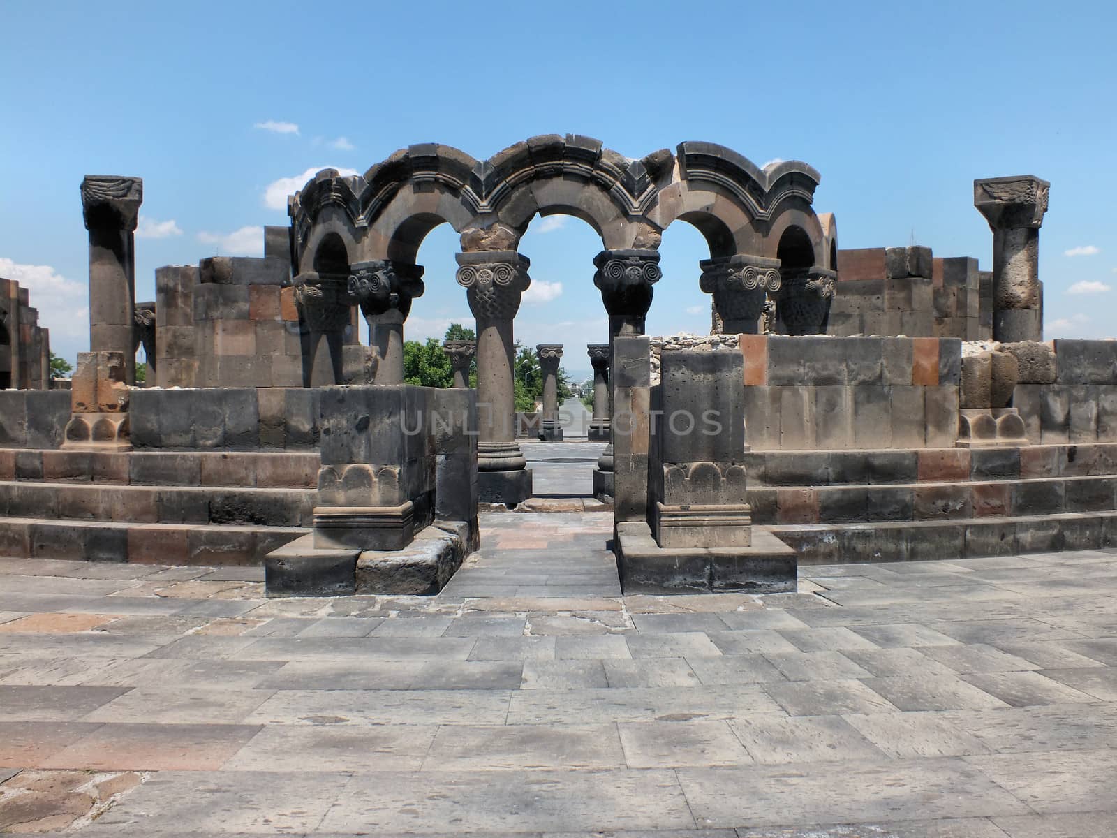
Zvartnots Cathedral
Stock PhotoUsername
glynspencerResolution
4608x3456pxZvartnots Cathedral

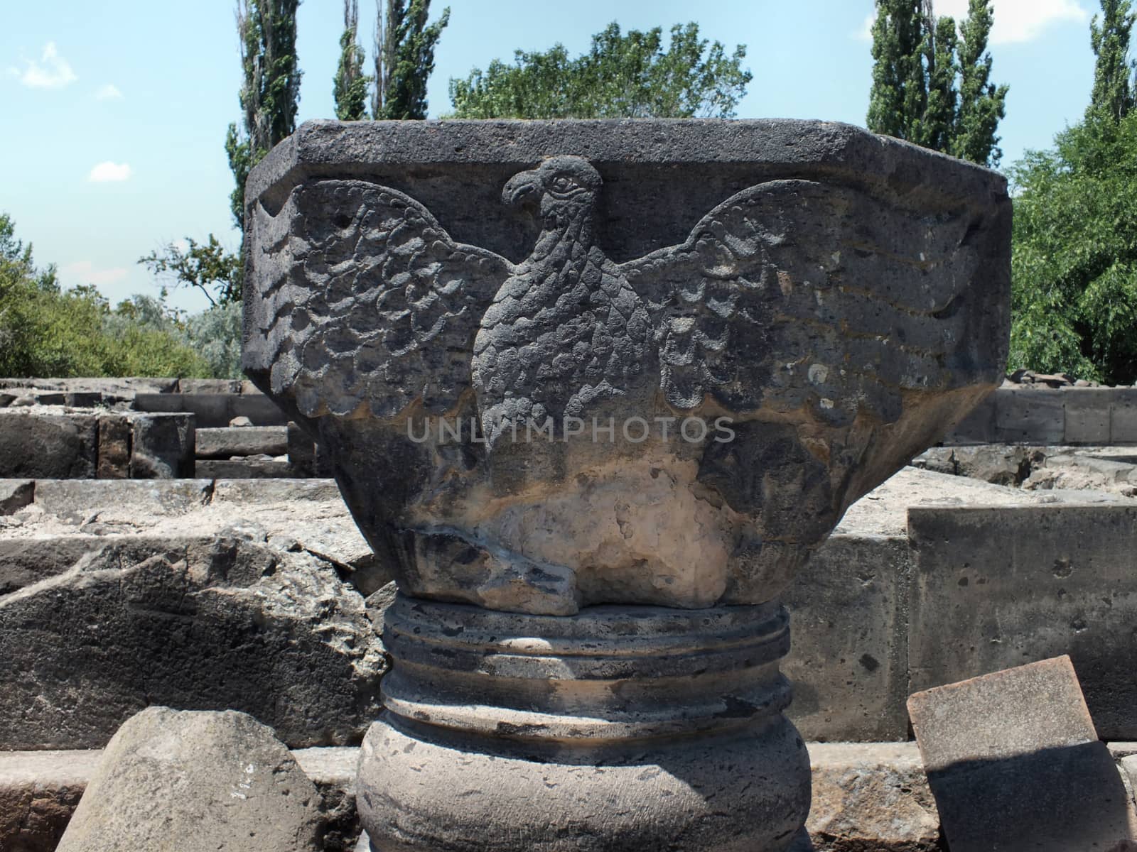
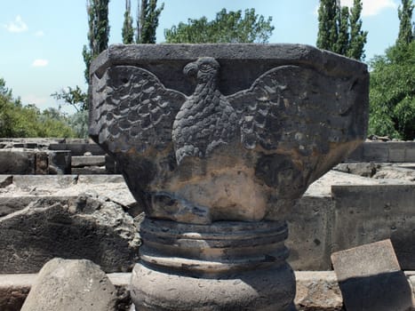
Eagle relief at Zvartnots Cathedral
Stock PhotoUsername
glynspencerResolution
4608x3456pxEagle relief at Zvartnots Cathedral
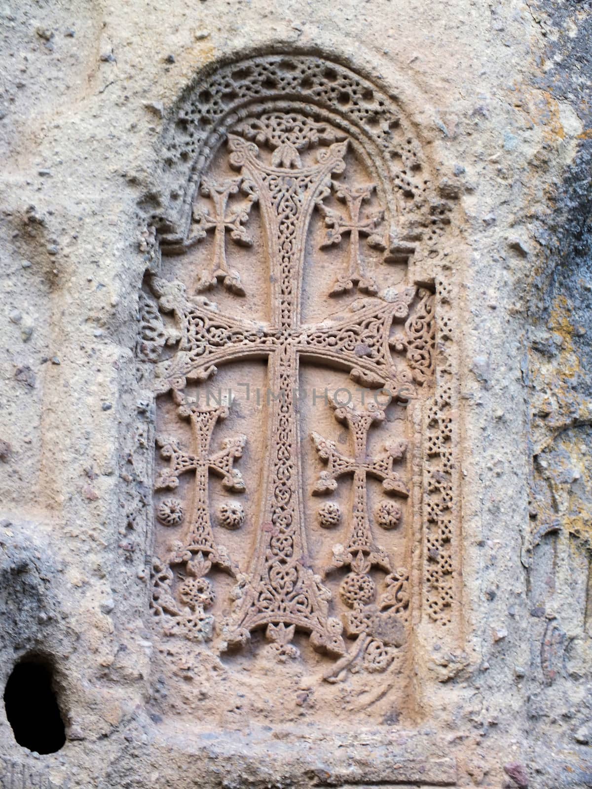
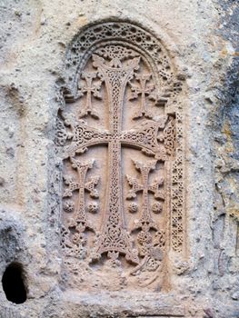
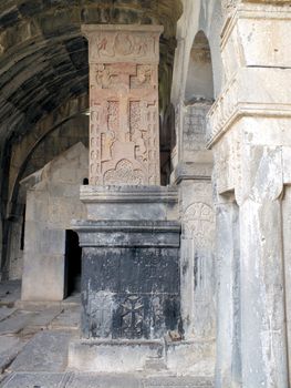
Carved cross at Geghard Monastery
Stock PhotoUsername
glynspencerResolution
3456x4608pxCarved cross at Geghard Monastery
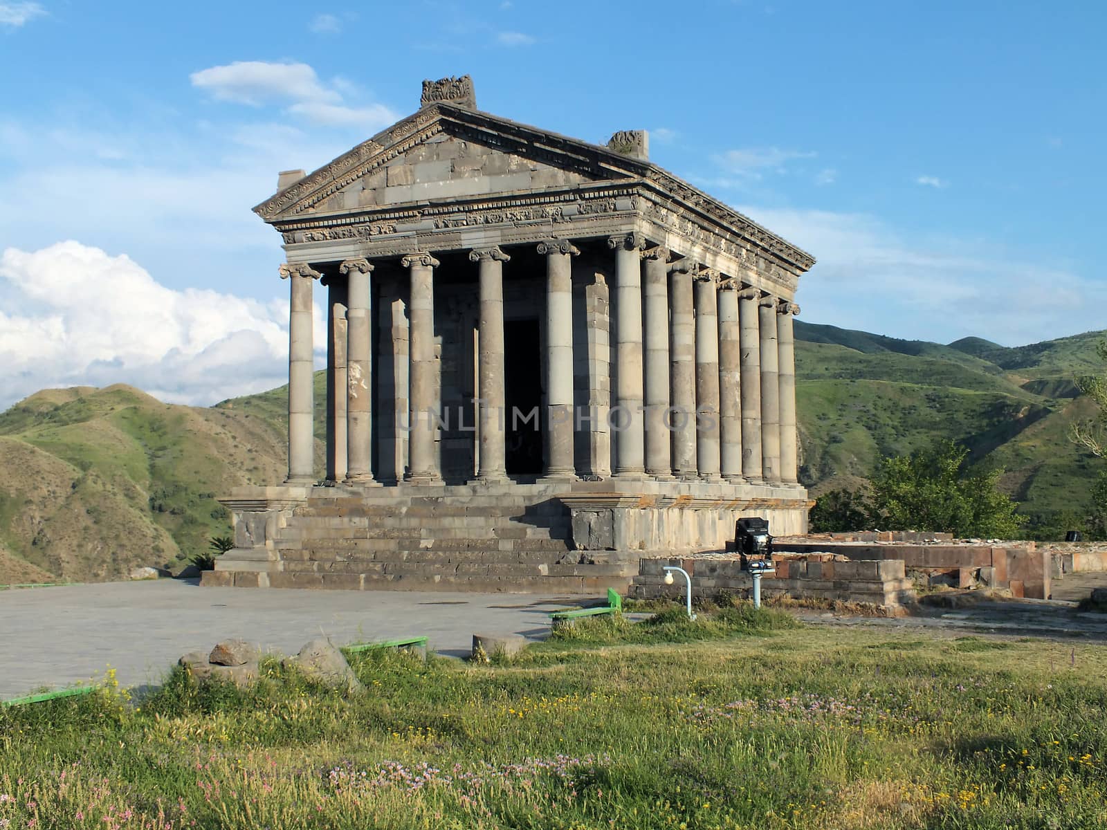
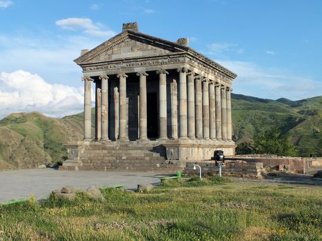
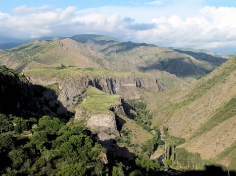
Garni Temple
Stock PhotoUsername
glynspencerResolution
4608x3456pxGarni Temple
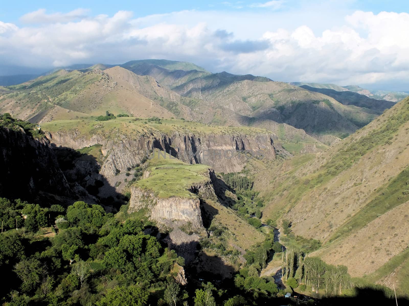
Azat River
Stock PhotoUsername
glynspencerResolution
4608x3456pxAzat River

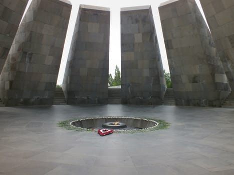
Eternal Flame at the Armenian Genociode Memorial
Stock PhotoUsername
glynspencerResolution
4608x3456pxEternal Flame at the Armenian Genociode Memorial
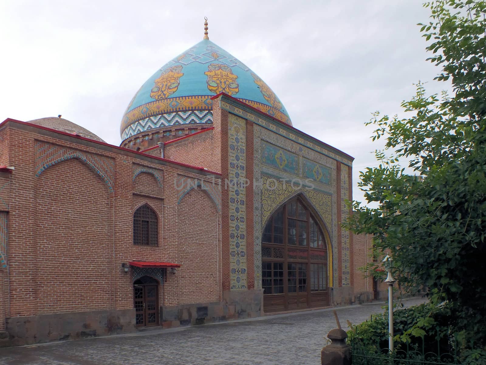
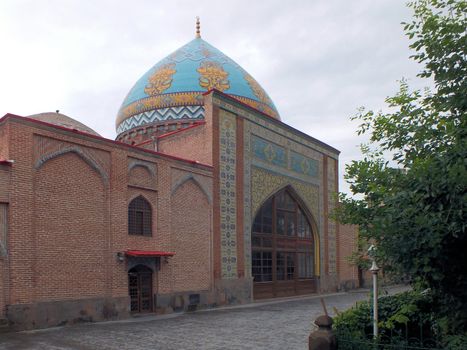
Blue Mosque in Yerevan
Stock PhotoUsername
glynspencerResolution
3445x2583pxBlue Mosque in Yerevan
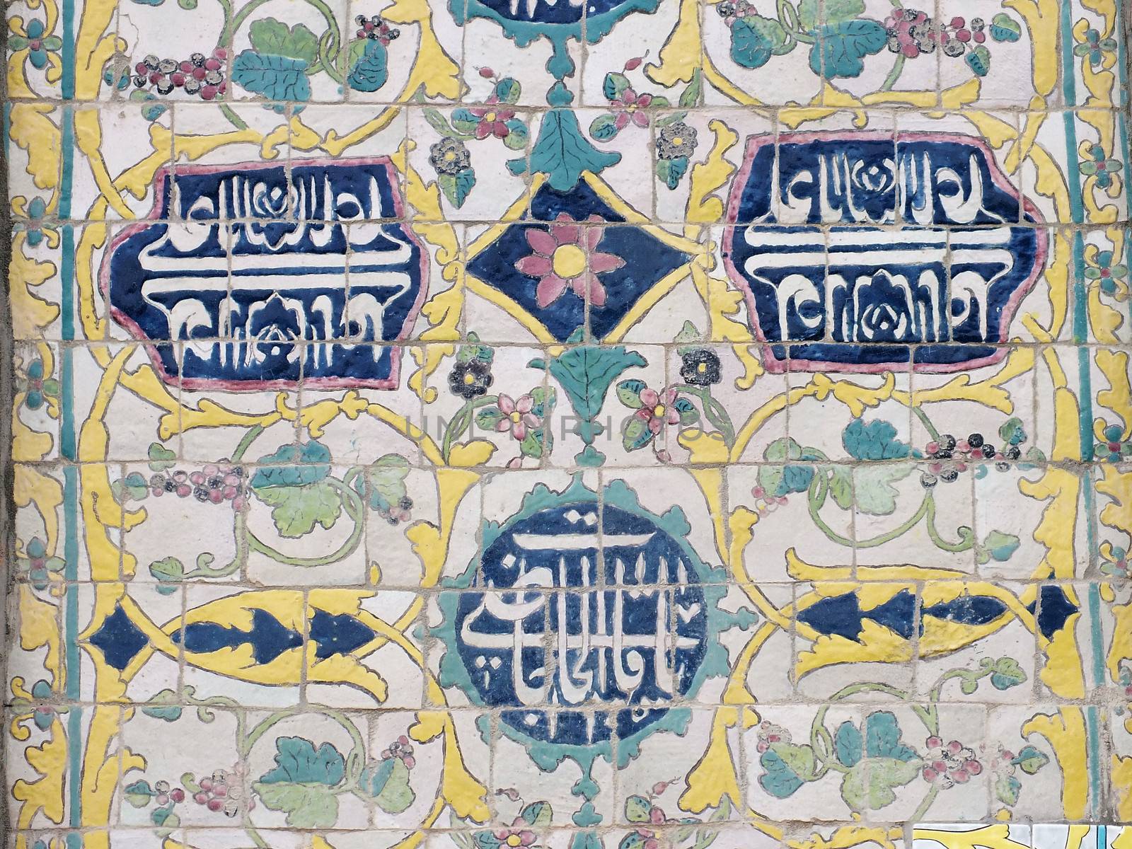
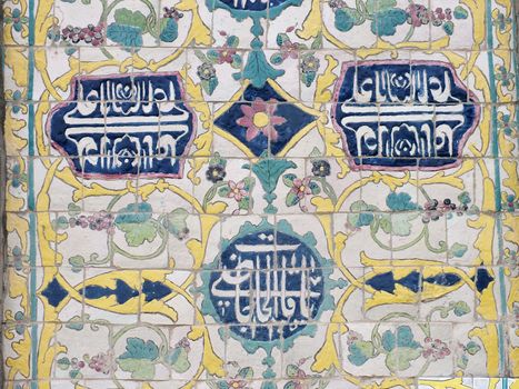
Tiles at the Blue Mosque in Yerevan
Stock PhotoUsername
glynspencerResolution
4297x3222pxTiles at the Blue Mosque in Yerevan
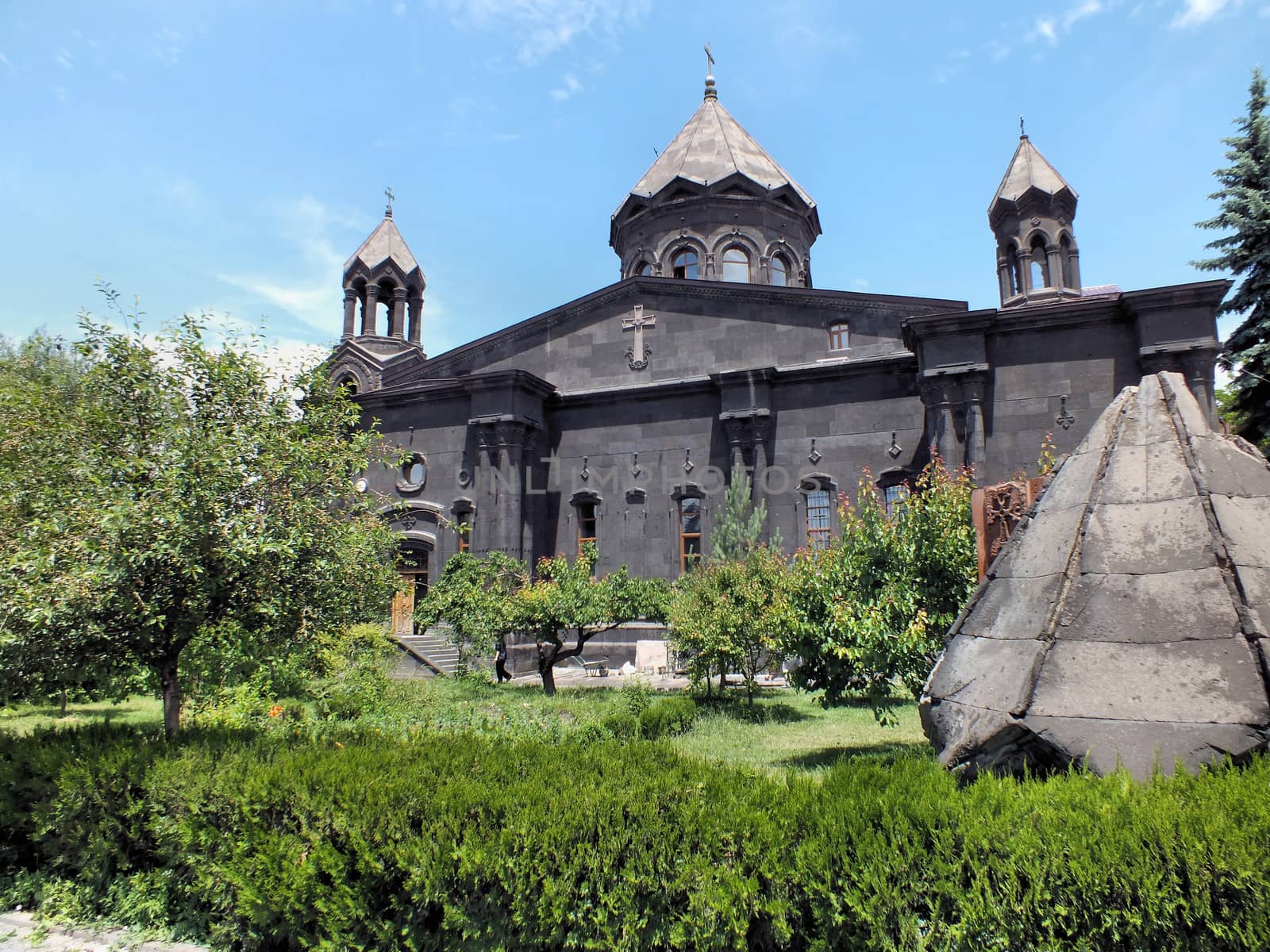
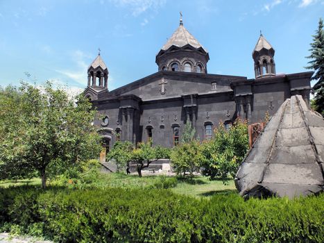
Yot Verk Church, Gyumri
Stock PhotoUsername
glynspencerResolution
4608x3456pxYot Verk Church, Gyumri
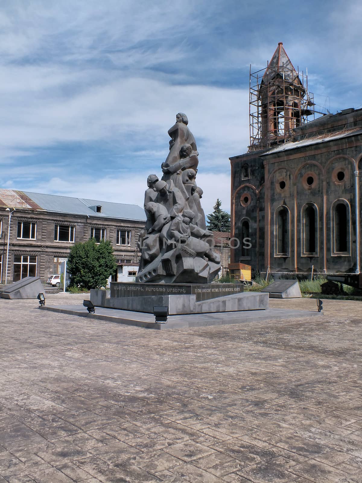
Earthquake Memorial & Amenaprkich at Gyumri
Stock PhotoUsername
glynspencerResolution
3456x4608pxEarthquake Memorial & Amenaprkich at Gyumri

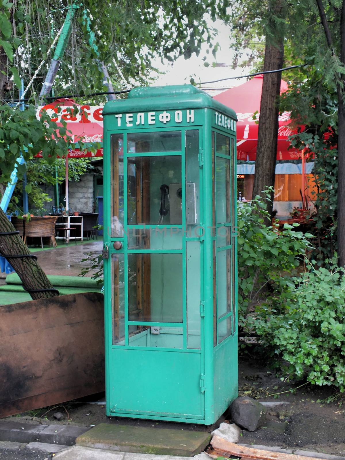
Soviet era phonebox Gyumri
Stock PhotoUsername
glynspencerResolution
3439x4585pxSoviet era phonebox Gyumri


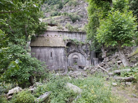
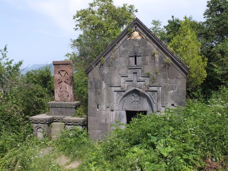
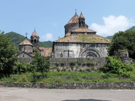
Kobayr Convent ruins
Stock PhotoUsername
glynspencerResolution
4608x3456pxKobayr Convent ruins
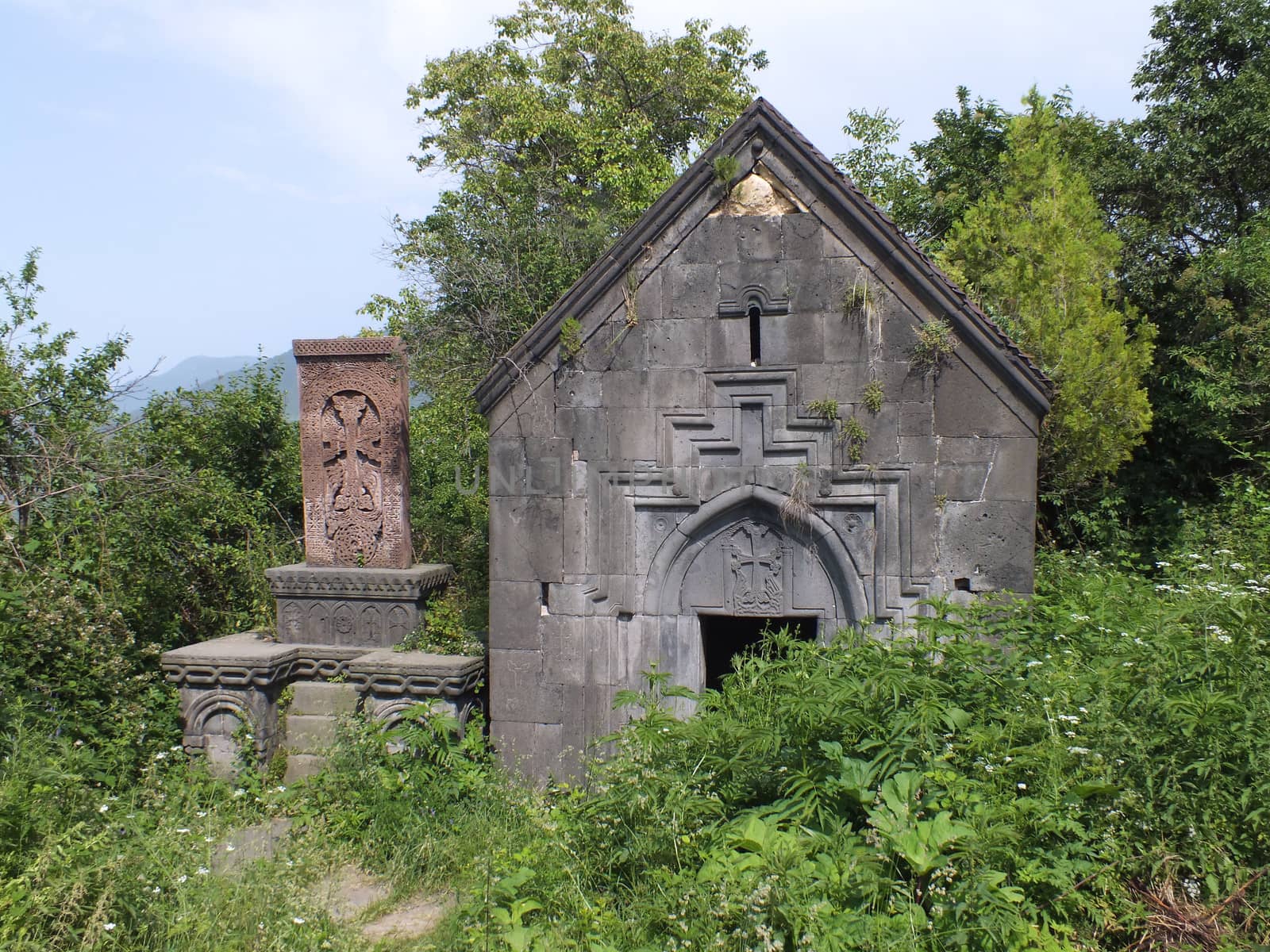
The St Hartuin Chapel at Sanahin Monastery
Stock PhotoUsername
glynspencerResolution
4608x3456pxThe St Hartuin Chapel at Sanahin Monastery
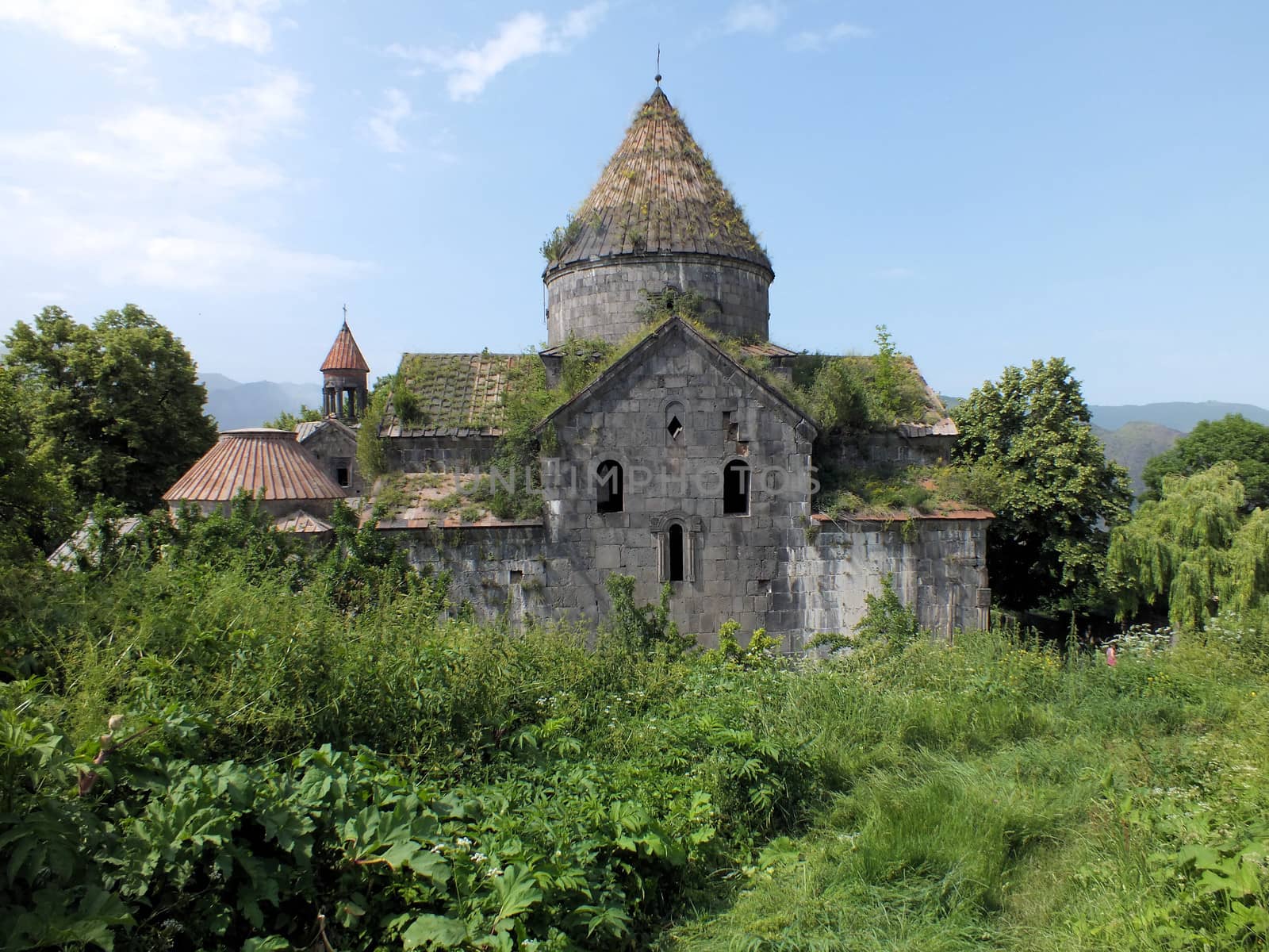
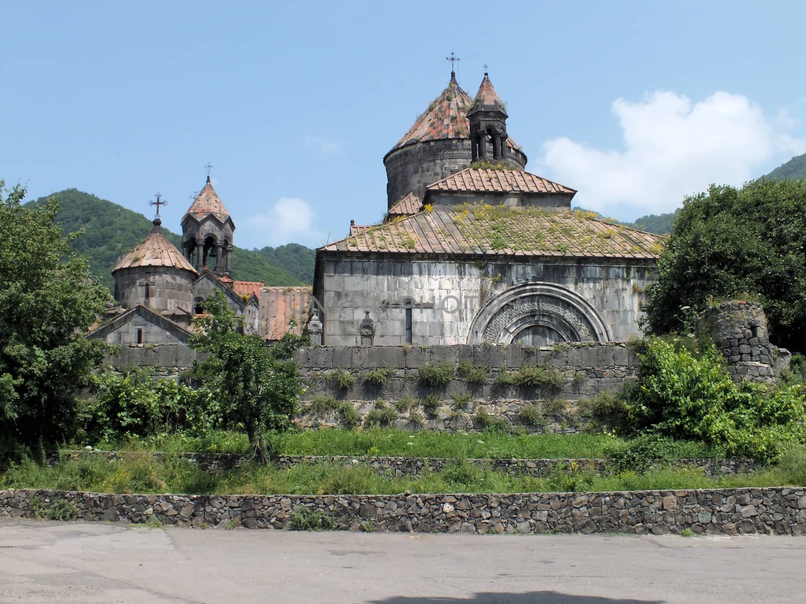
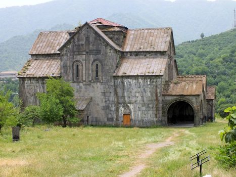
Sanahin Monastery
Stock PhotoUsername
glynspencerResolution
4485x3364pxSanahin Monastery

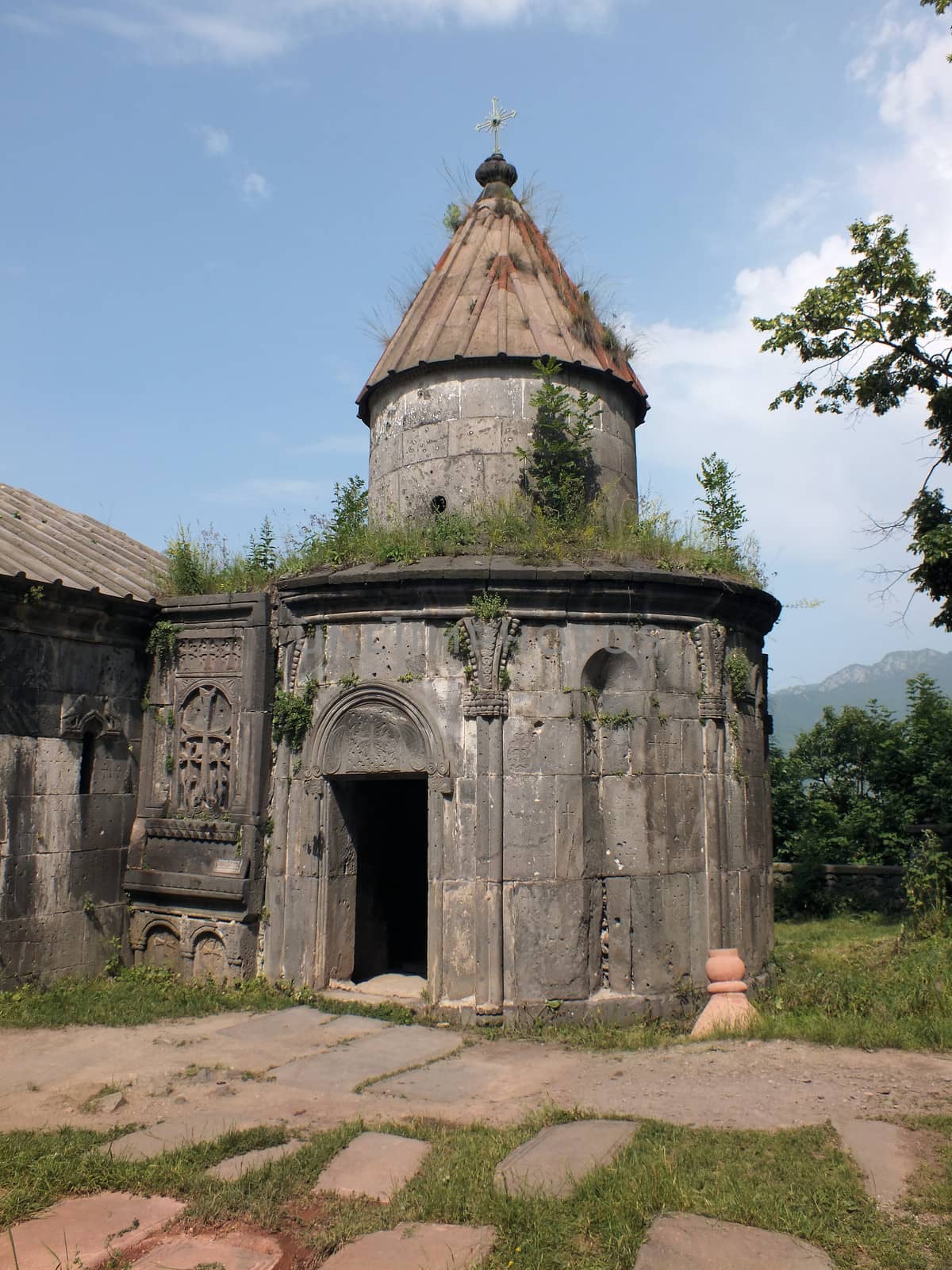
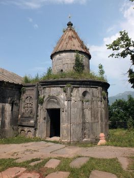
Grigor Chapel at Sanahin Monastery
Stock PhotoUsername
glynspencerResolution
3456x4608pxGrigor Chapel at Sanahin Monastery
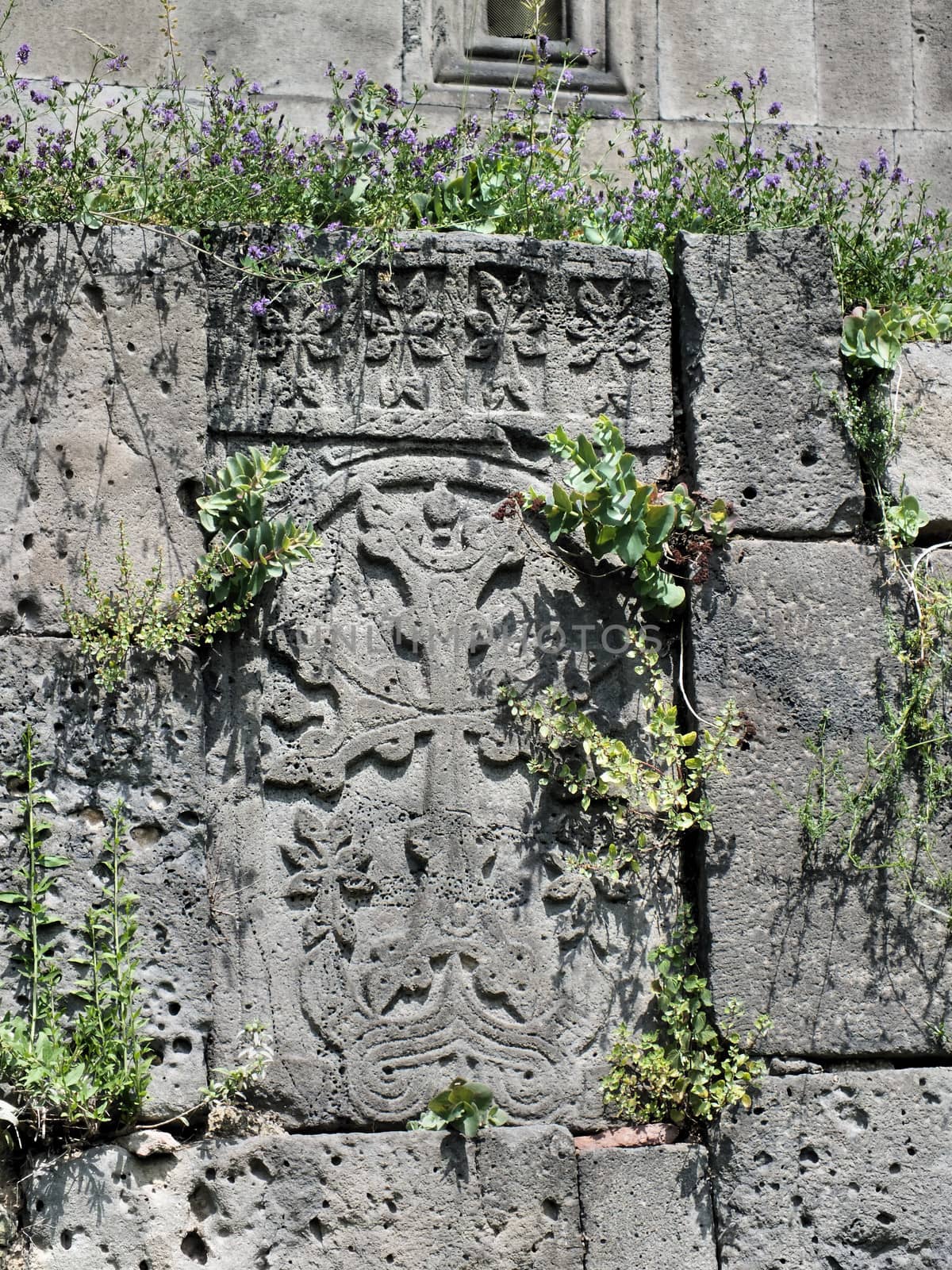
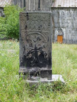
A Khachkar in the outer wall of Haghpat Monastery
Stock PhotoUsername
glynspencerResolution
3456x4608pxA Khachkar in the outer wall of Haghpat Monastery

Kusanats Anapat Church
Stock PhotoUsername
glynspencerResolution
4608x3456pxKusanats Anapat Church
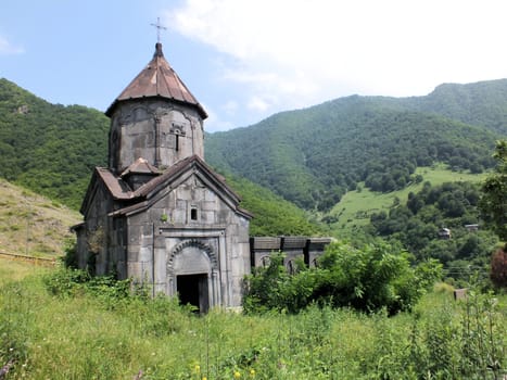
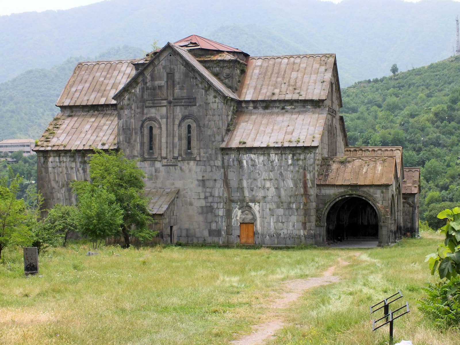
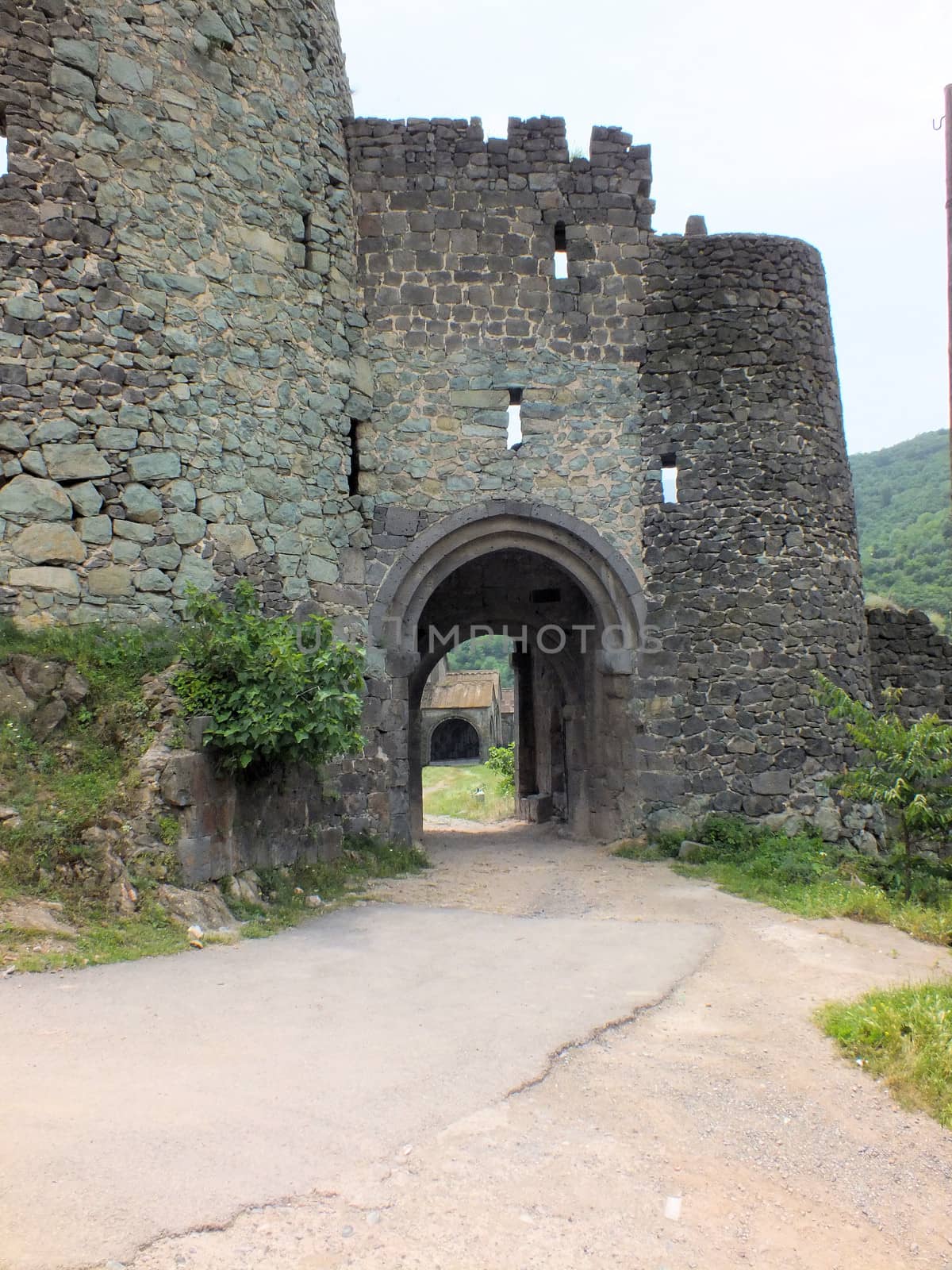
Haghpat Monastery
Stock PhotoUsername
glynspencerResolution
4608x3456pxHaghpat Monastery
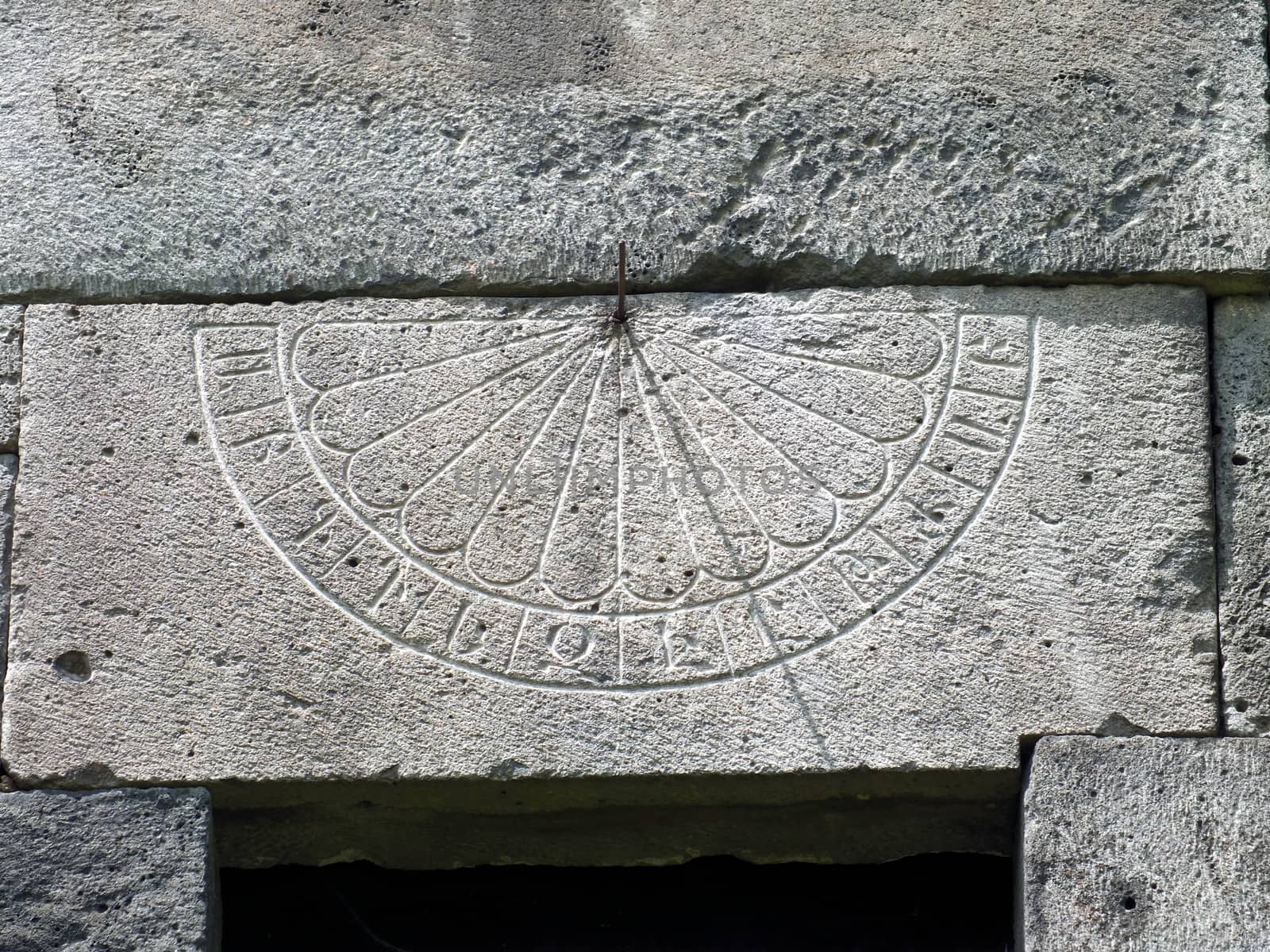
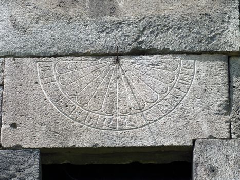
Sundail on a wall
Stock PhotoUsername
glynspencerResolution
4608x3456pxSundail on a wall

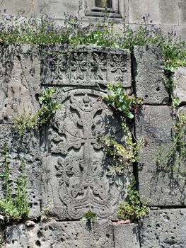
Amenaprkitch Khachkar, Haghpat Monastery
Stock PhotoUsername
glynspencerResolution
3456x4608pxAmenaprkitch Khachkar, Haghpat Monastery
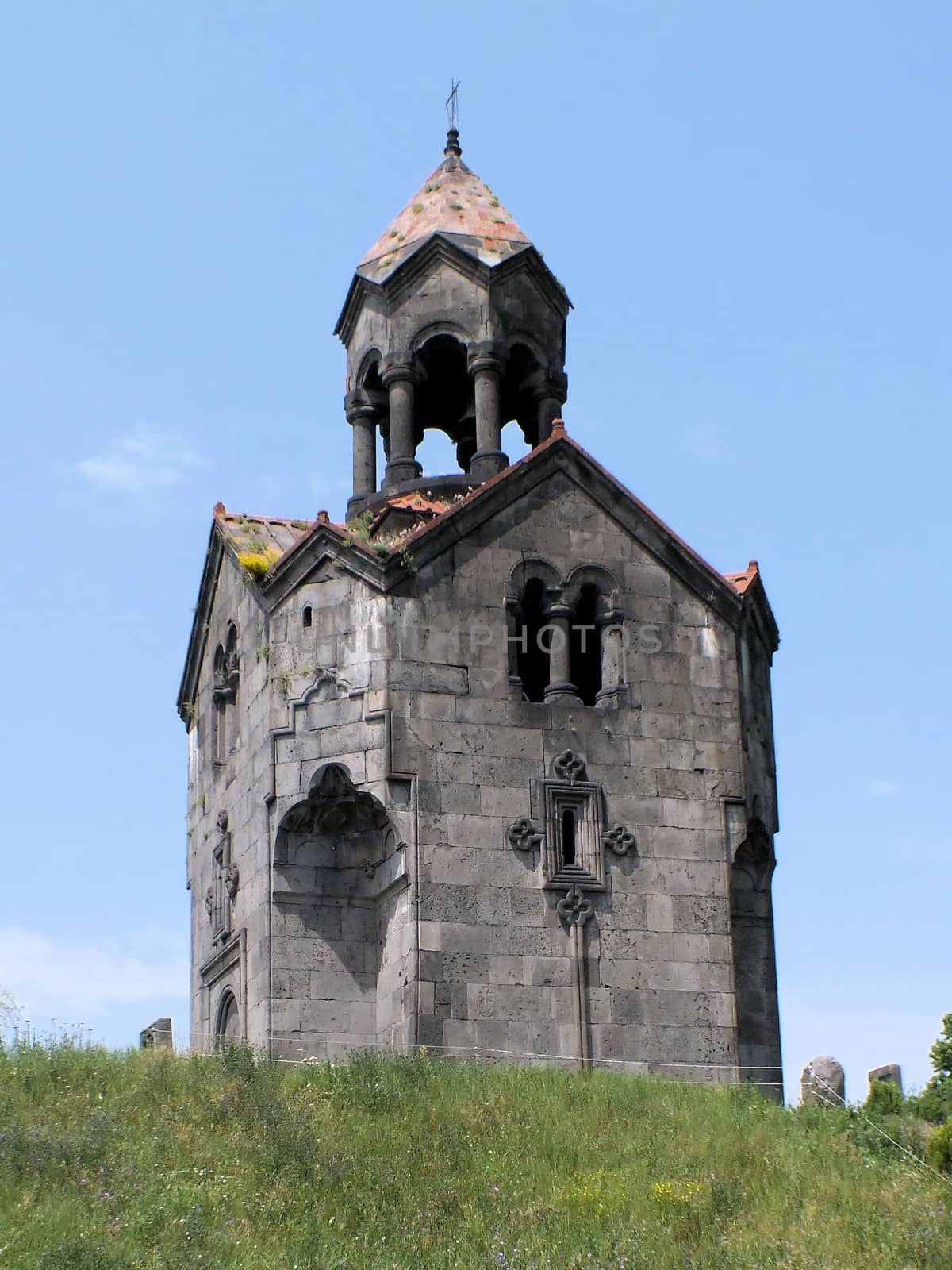
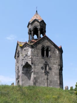
Haghpat Monastery Belfry
Stock PhotoUsername
glynspencerResolution
2199x2932pxHaghpat Monastery Belfry
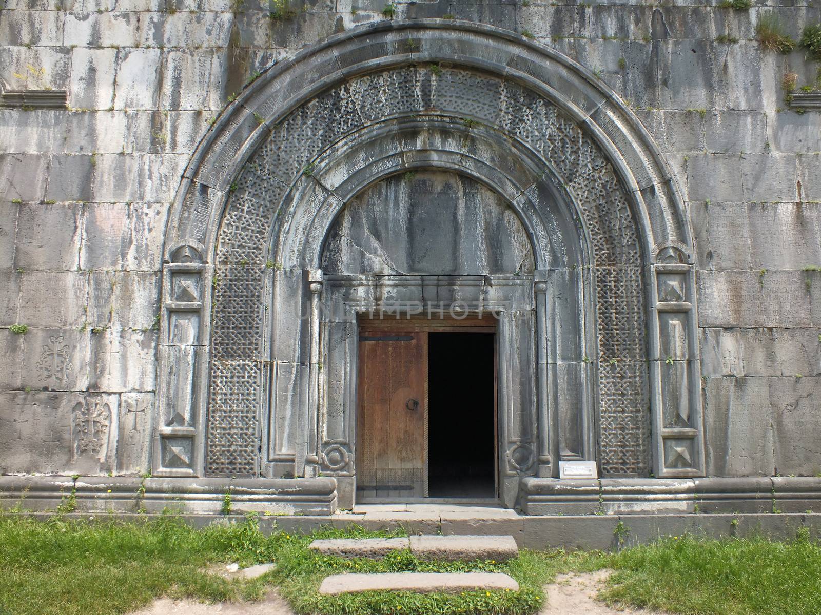
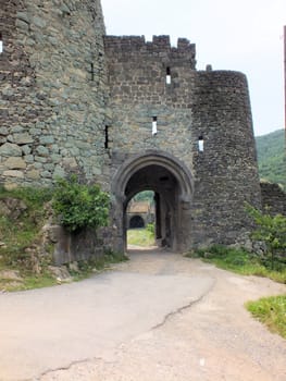
Gavit entrance, Haghpat Monastery
Stock PhotoUsername
glynspencerResolution
4608x3456pxGavit entrance, Haghpat Monastery
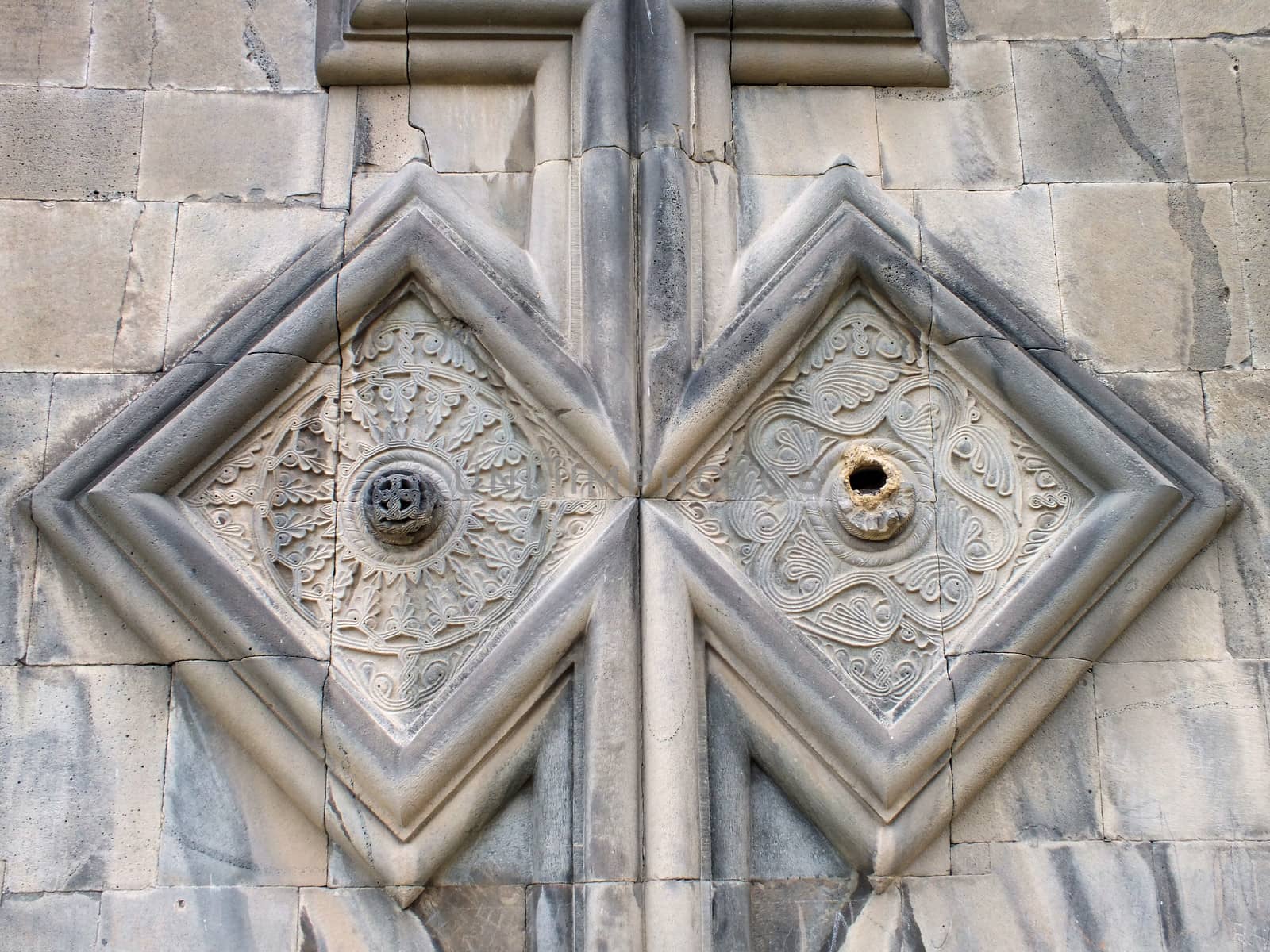
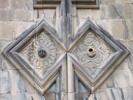
Carving detail, Akhtala Monastery
Stock PhotoUsername
glynspencerResolution
4608x3456pxCarving detail, Akhtala Monastery
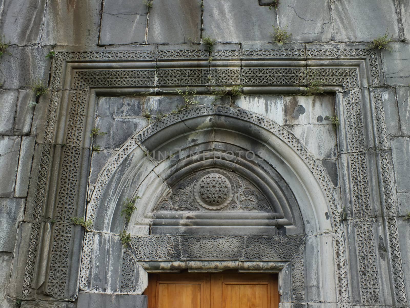
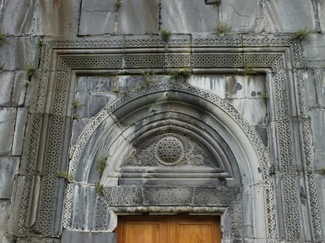
Doorway, Akhtala Monastery
Stock PhotoUsername
glynspencerResolution
4608x3456pxDoorway, Akhtala Monastery
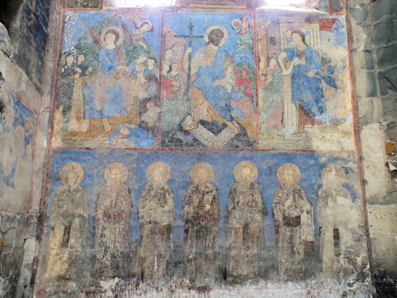
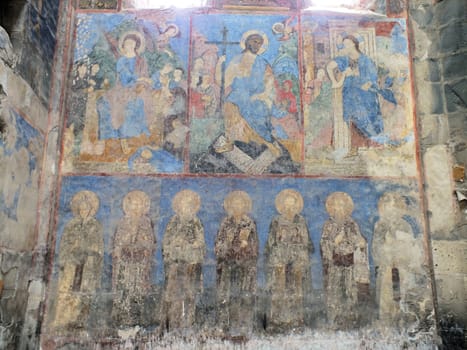
Frescoes at the Surp Astvatsatsin church at Akhtala Monsatery
Stock PhotoUsername
glynspencerResolution
4608x3456pxFrescoes at the Surp Astvatsatsin church at Akhtala Monsatery
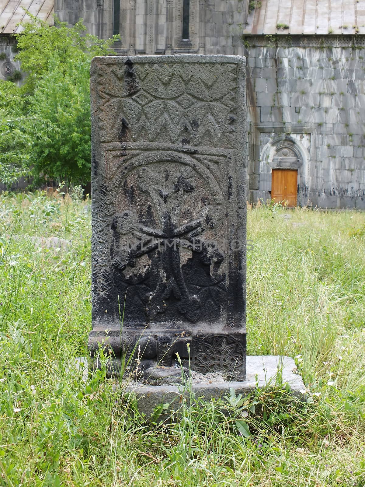
Khachkar in the grounds of the Akhtala Monastery
Stock PhotoUsername
glynspencerResolution
3456x4608pxKhachkar in the grounds of the Akhtala Monastery
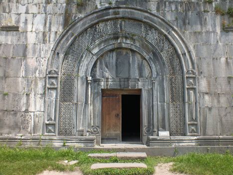
Akhtala Monastery
Stock PhotoUsername
glynspencerResolution
4608x3456pxAkhtala Monastery
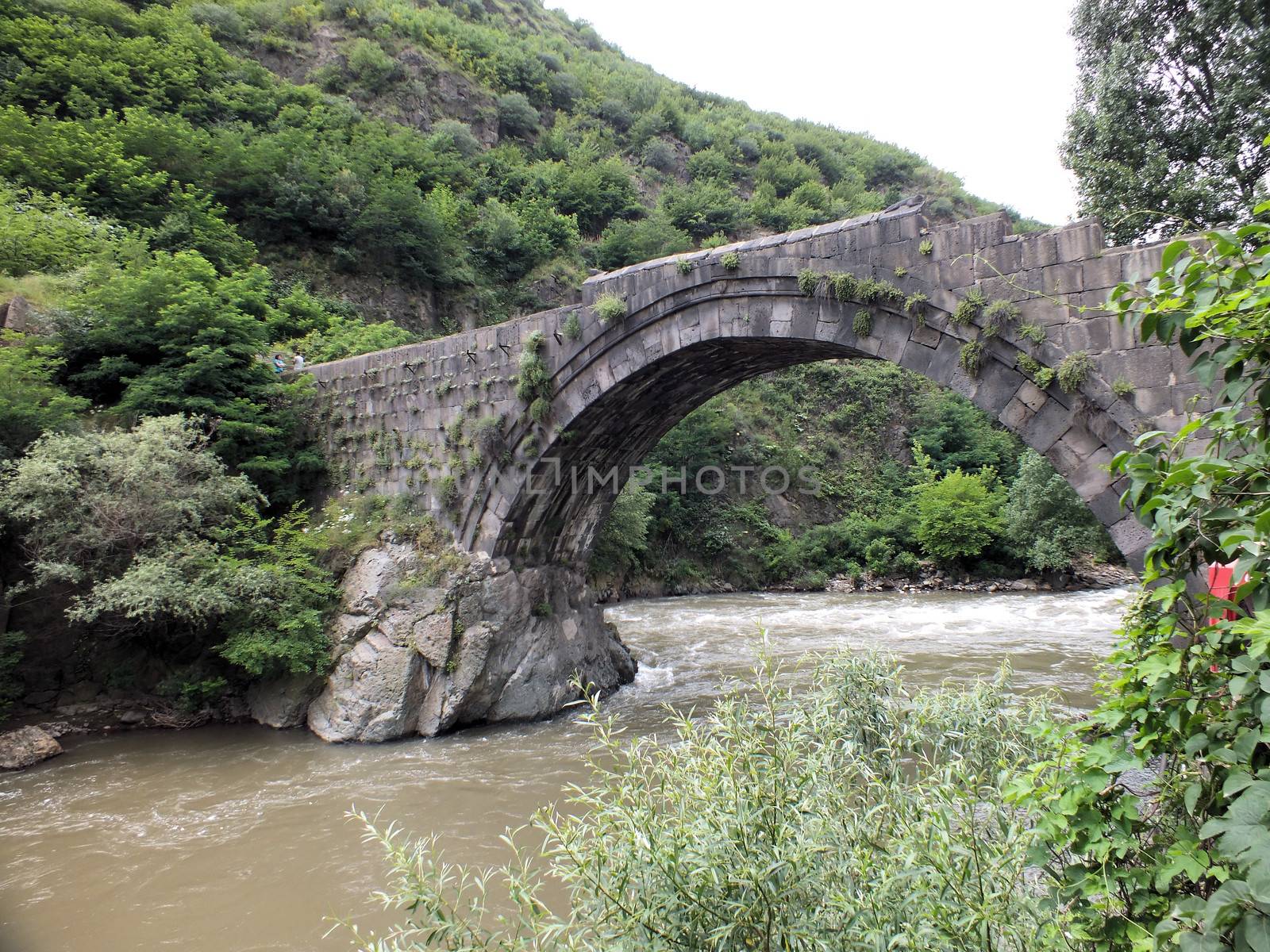
Tamara's bridge, Alaverdi
Stock PhotoUsername
glynspencerResolution
4608x3456pxTamara's bridge, Alaverdi

Entrance gateway, Akhtala Monastery
Stock PhotoUsername
glynspencerResolution
3456x4608pxEntrance gateway, Akhtala Monastery
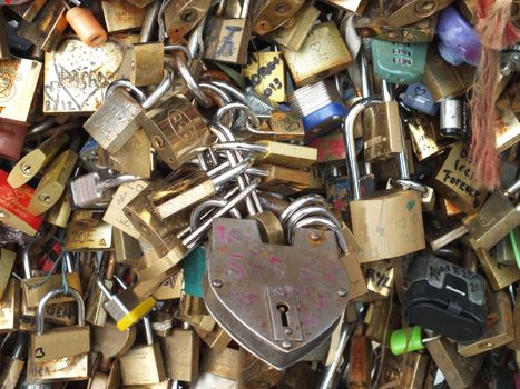
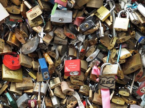
A prominent Love Padlock on Pont de l'Archeveche in Paris
Stock PhotoUsername
glynspencerResolution
4608x3456pxA prominent Love Padlock on Pont de l'Archeveche in Paris
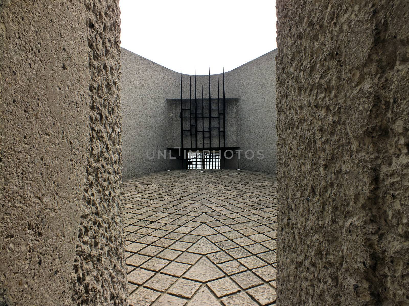
Holocaust Deportation Memorial
Stock PhotoUsername
glynspencerResolution
4608x3456pxHolocaust Deportation Memorial

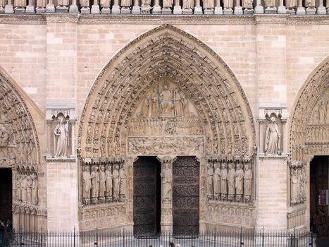
Main entrance to Notre-Dame Cathedral
Stock PhotoUsername
glynspencerResolution
4608x3456pxMain entrance to Notre-Dame Cathedral

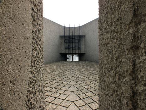
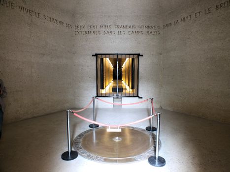
Inside the Holocaust Deportation Memorial
Stock PhotoUsername
glynspencerResolution
4499x3374pxInside the Holocaust Deportation Memorial
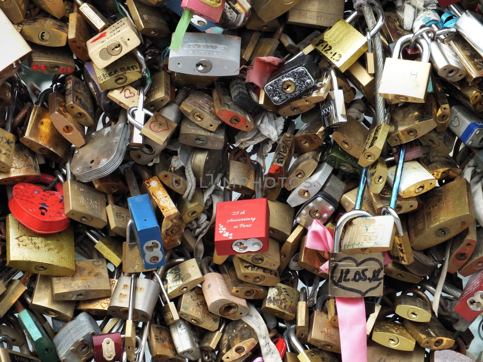
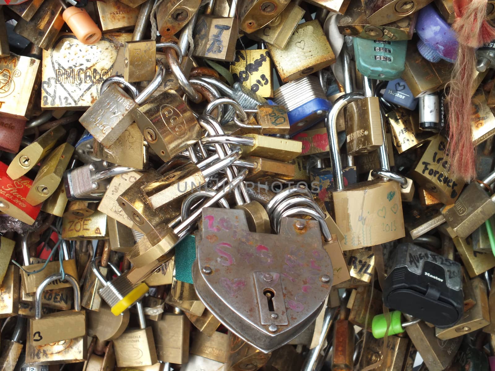
Love Padlocks on Pont de l'Archeveche in Paris
Stock PhotoUsername
glynspencerResolution
4608x3456pxLove Padlocks on Pont de l'Archeveche in Paris
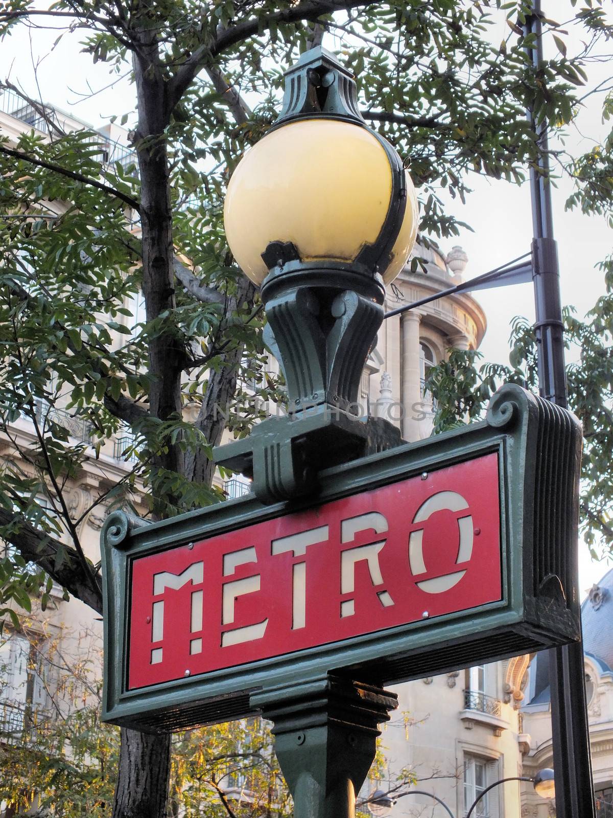
Dervaux Metro sign
Stock PhotoUsername
glynspencerResolution
3456x4608pxDervaux Metro sign

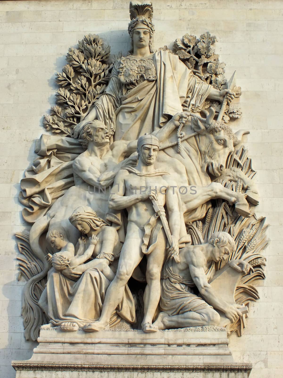
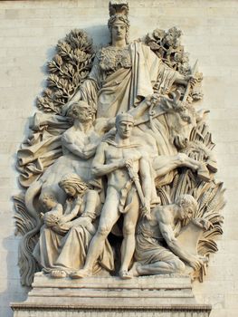
Arc de Triomphe de l'Etoile sculpture
Stock PhotoUsername
glynspencerResolution
2723x3631pxArc de Triomphe de l'Etoile sculpture
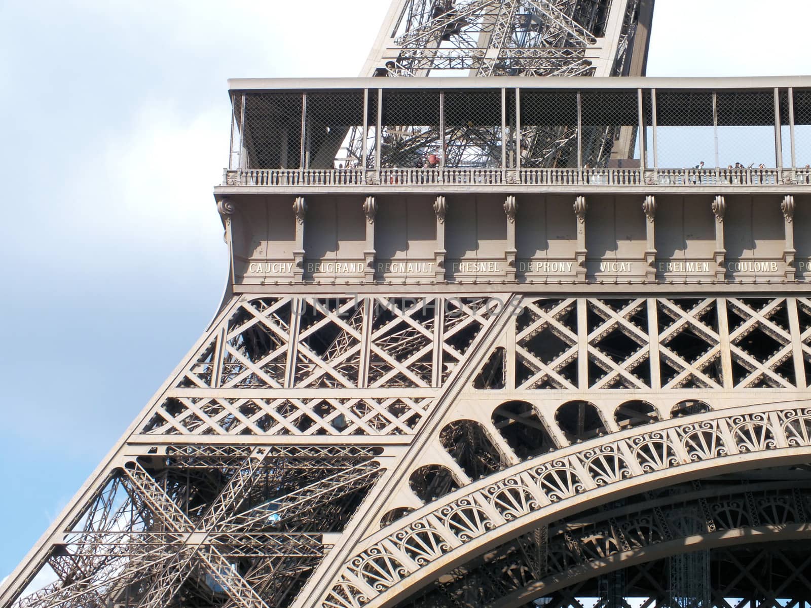
Eiffel Tower detail
Stock PhotoUsername
glynspencerResolution
4488x3365pxEiffel Tower detail

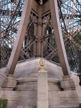
Gustave Eiffel
Stock PhotoUsername
glynspencerResolution
3456x4608pxGustave Eiffel
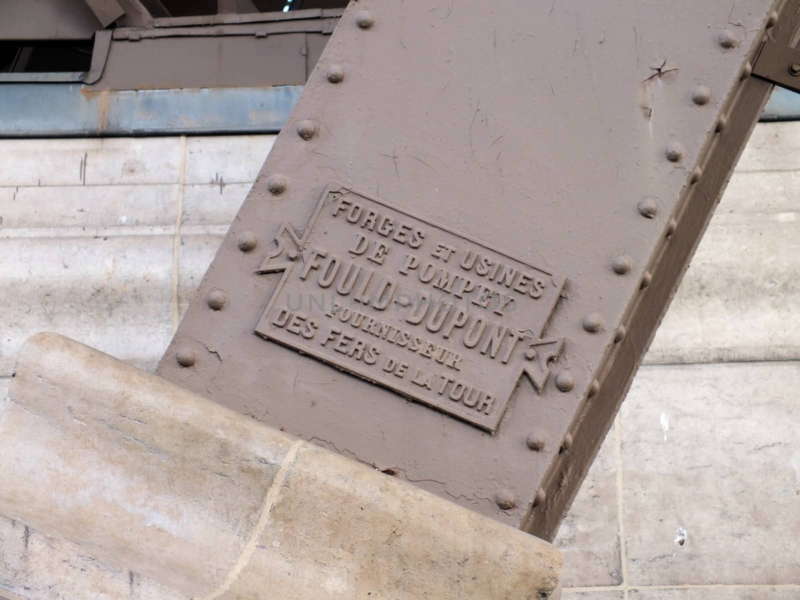
Eiffel Tower steel maker's plate
Stock PhotoUsername
glynspencerResolution
4608x3456pxEiffel Tower steel maker's plate

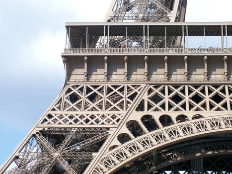
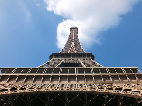
Eiffel Tower
Stock PhotoUsername
glynspencerResolution
4608x3456pxEiffel Tower

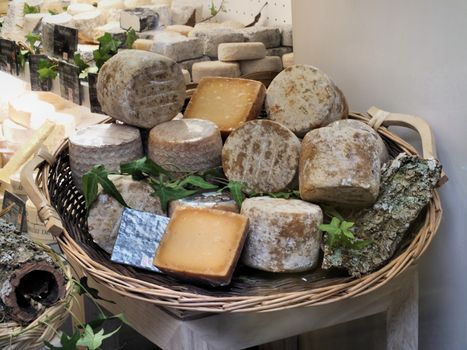
Les Fromages
Stock PhotoUsername
glynspencerResolution
4608x3456pxLes Fromages
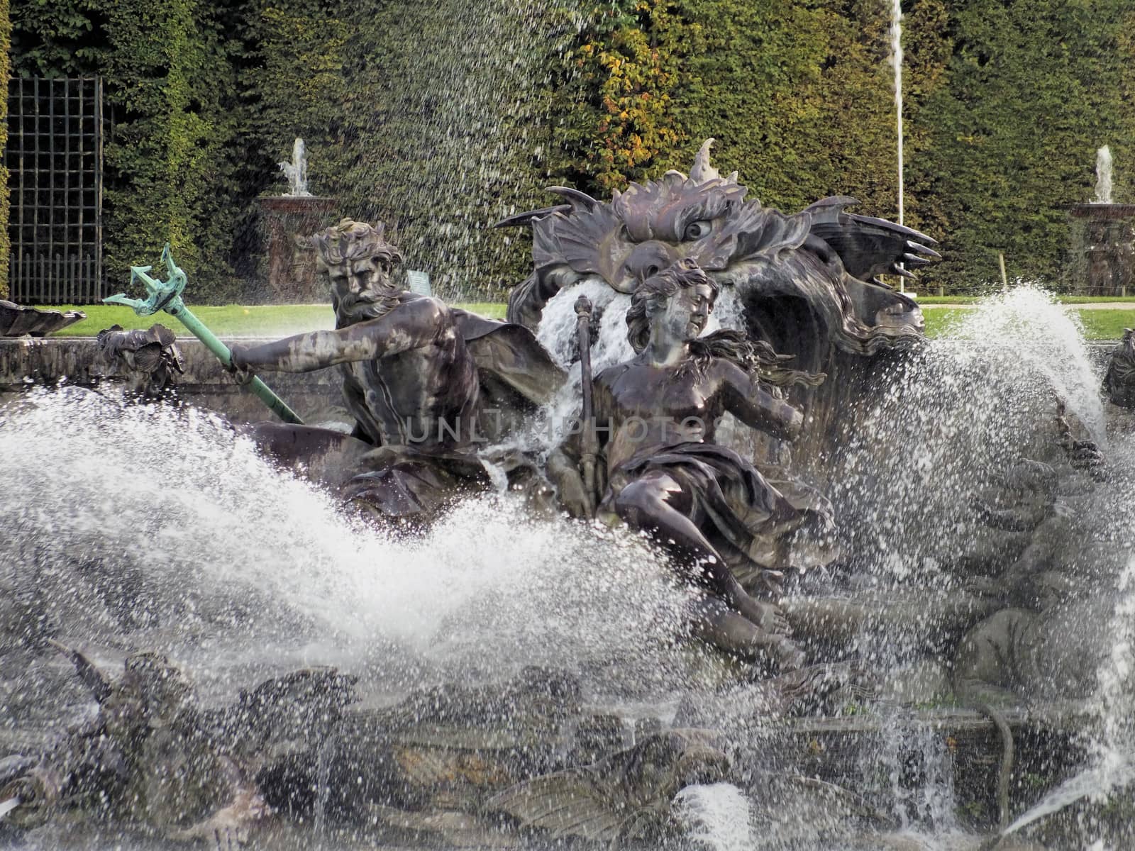
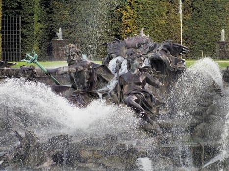
Neptune Fountain at Versailles
Stock PhotoUsername
glynspencerResolution
4608x3456pxNeptune Fountain at Versailles
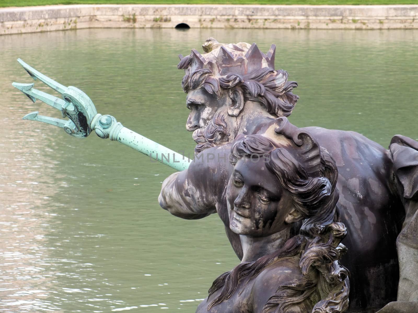
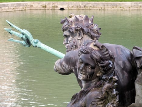
A close up of Neptune at Versailles's Neptune Fountain
Stock PhotoUsername
glynspencerResolution
4608x3456pxA close up of Neptune at Versailles's Neptune Fountain

Royal Gates at the entrance to the Palace of Versailles
Stock PhotoUsername
glynspencerResolution
4608x3456pxRoyal Gates at the entrance to the Palace of Versailles

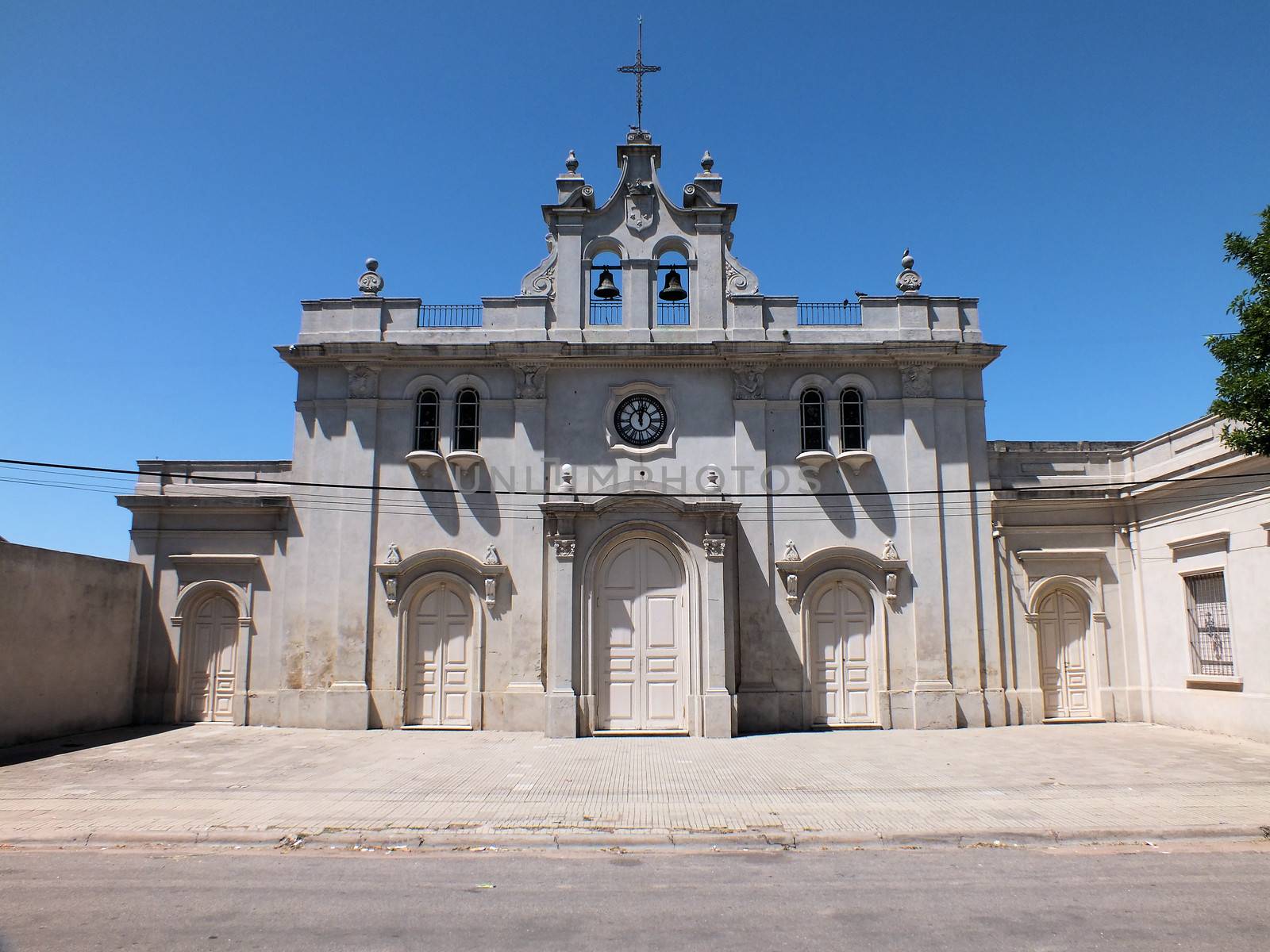
Templo Historico del Carmen
Stock PhotoUsername
glynspencerResolution
4608x3456pxTemplo Historico del Carmen

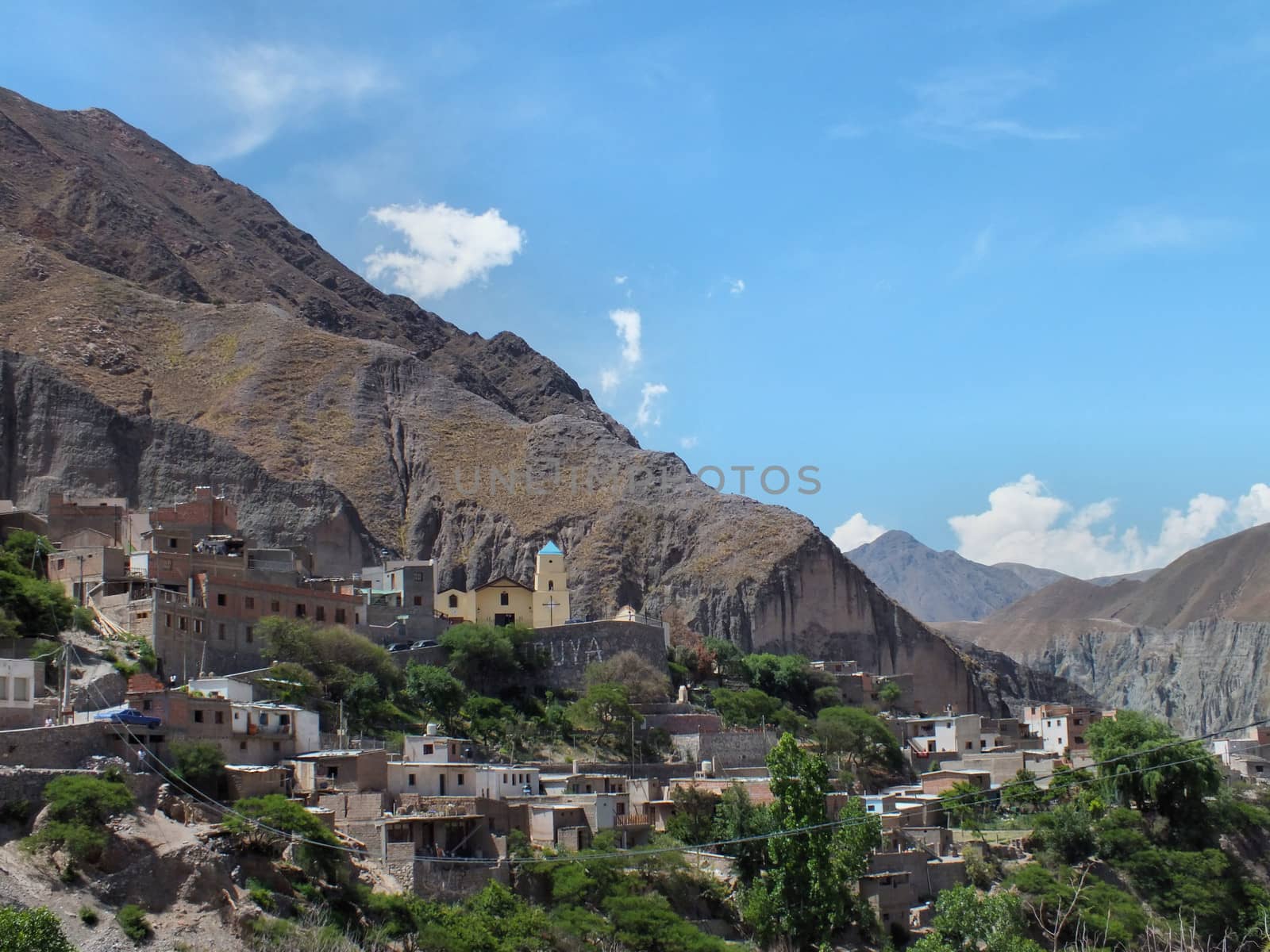
Iruya
Stock PhotoUsername
glynspencerResolution
4608x3456pxIruya

High Altitude Farm
Stock PhotoUsername
glynspencerResolution
3456x4608pxHigh Altitude Farm
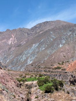
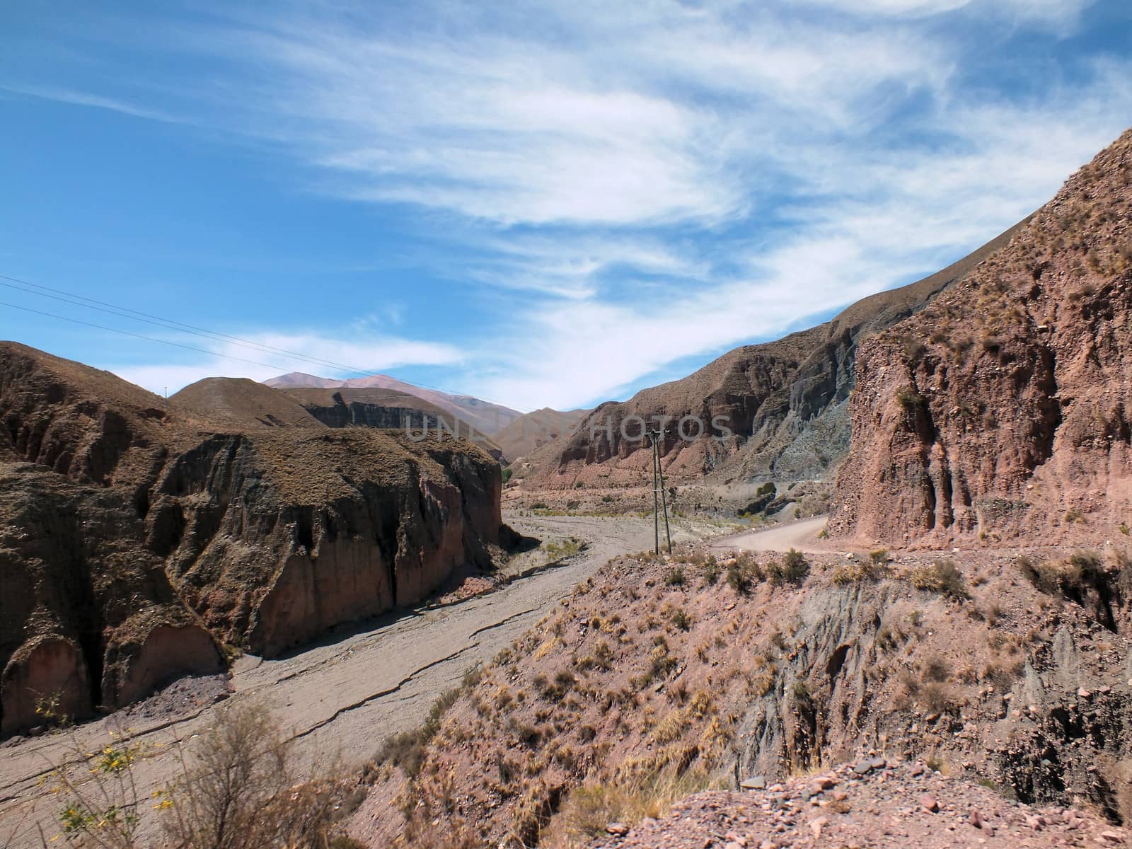
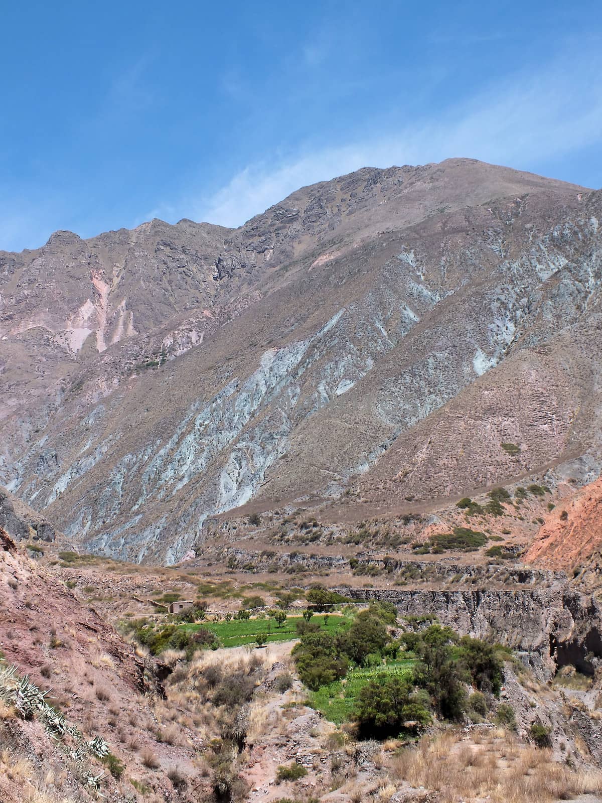
Rio Iruya
Stock PhotoUsername
glynspencerResolution
4608x3456pxRio Iruya
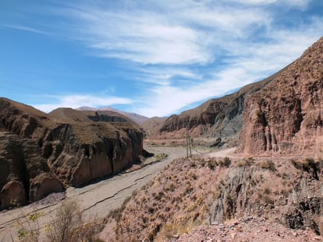
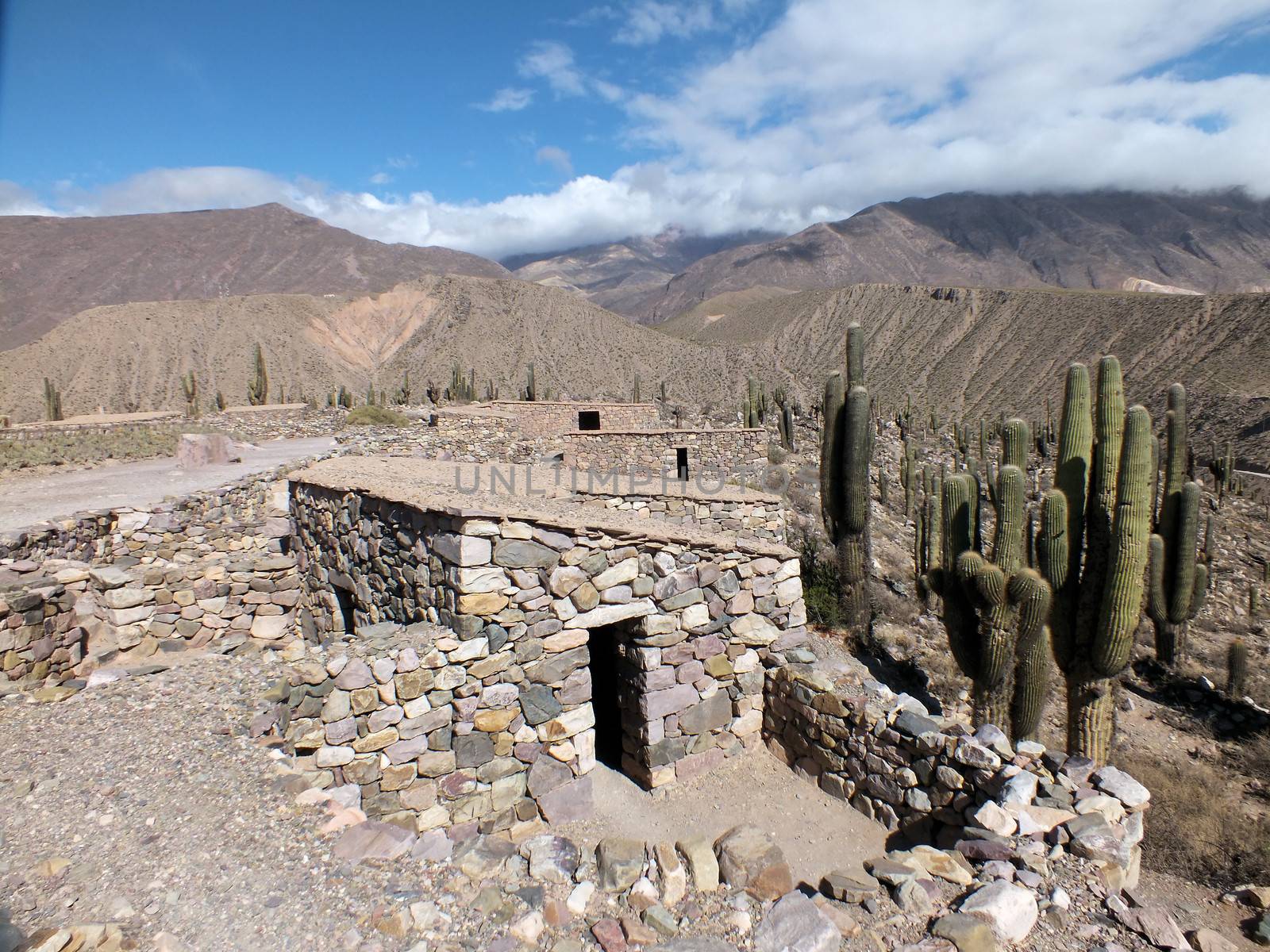
Pucara de Tilcara
Stock PhotoUsername
glynspencerResolution
4608x3456pxPucara de Tilcara

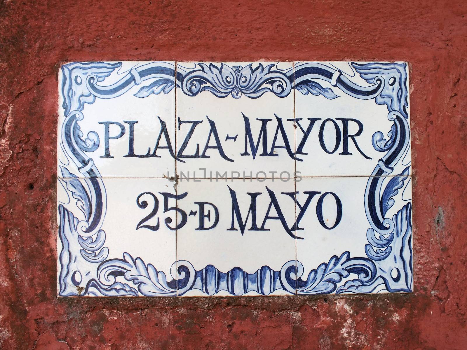
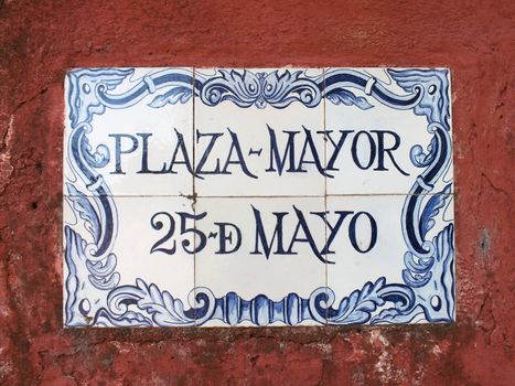
Portuguese street sign
Stock PhotoUsername
glynspencerResolution
4608x3456pxPortuguese street sign